
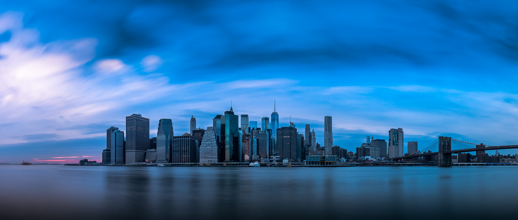

There’s a certain ease you notice within the first hour. No one is dodging cars to reach the waterfront. The cafes face the river, not a parking lot. The paths follow the current, not the road grid. These places weren’t designed with the car as the organizing principle, and it shows in every small detail, from the angle of a terrace chair to the way a bridge arcs over the water just wide enough for two cyclists to pass each other comfortably.
Across the world, a handful of towns and cities have managed to keep, or reclaim, this relationship with their rivers. Some built it centuries ago without really trying. Others fought hard, through decades of planning battles and community campaigns, to restore what traffic engineering had buried. What follows is a gallery of seven places where water still comes first.
1. San Antonio, Texas – The Original Sunken River City
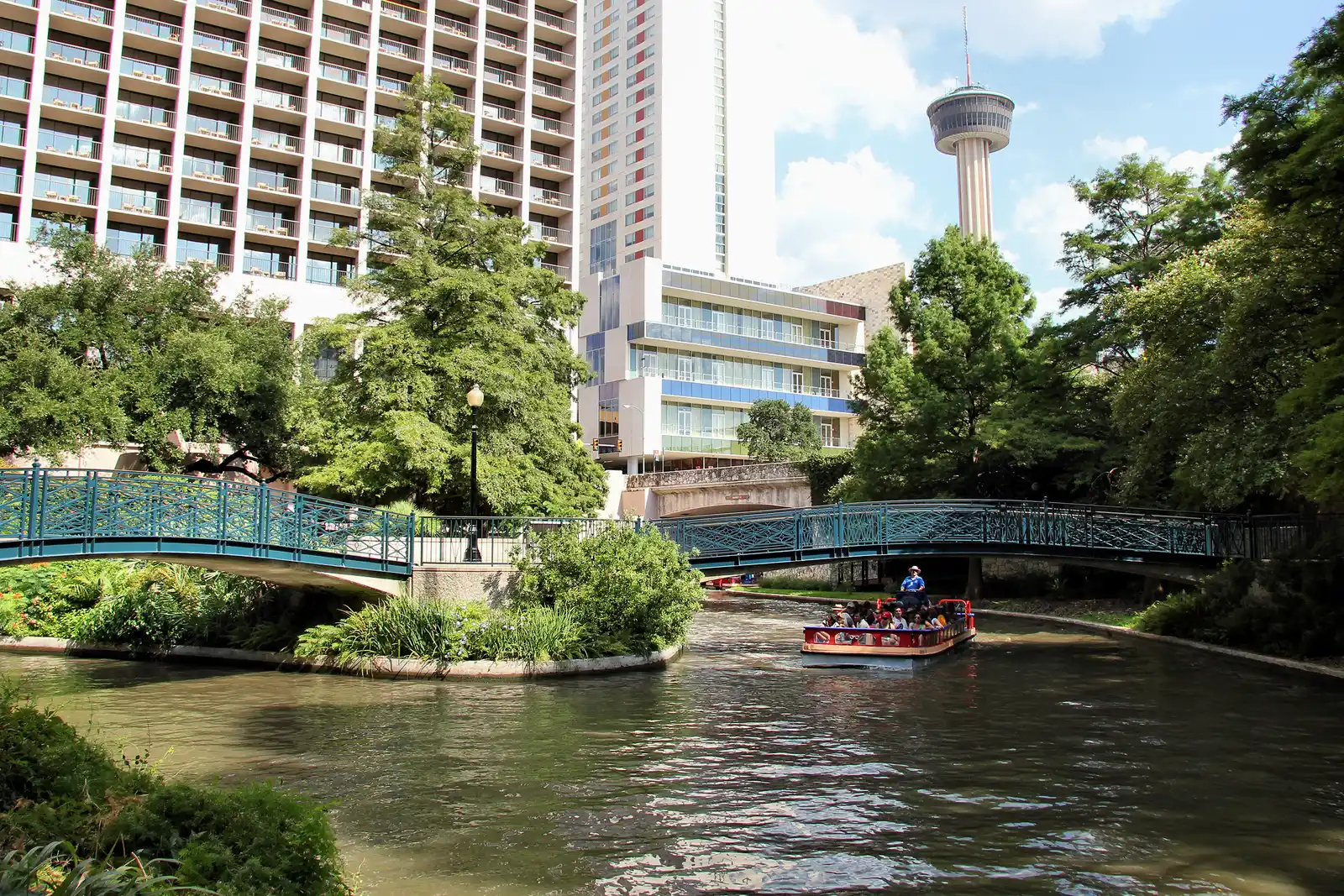
San Antonio’s relationship with the river is literally below street level, and that’s precisely the point. Hidden below street level in downtown San Antonio, the “Paseo del Río,” or River Walk, is a series of pathways and bridges wending along a 15-mile-long stretch of the San Antonio River, roughly five miles of which flow through downtown. The design keeps the river world almost entirely separate from car traffic above, which gives the whole thing a tucked-away quality that still surprises first-time visitors.
The River Walk was originally part of a 1939 federal WPA project designed by architect Robert Hugman, with cobblestone pathways, arched bridges, and entrance steps from street-level locations. Hotels, outdoor cafes, shops, and restaurants line the bustling downtown tourist areas, but you can also find places of quiet along the curving riverbanks, shaded by cedar, cypress, oak, pecan, and willows.
Head to the Museum Reach north of downtown San Antonio and you can explore the San Antonio Museum of Art, or head south to the Mission Reach to discover San Antonio Missions National Historical Park. The river genuinely organizes this city’s cultural geography in a way that no highway could.
2. Porto, Portugal – Where the Douro Does the Planning
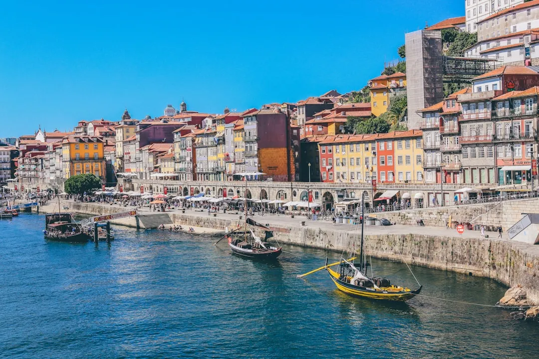
Porto’s historic centre is small enough to walk, dense enough to surprise you, and arranged on a hillside that does most of the planning for you. The medieval Ribeira, the azulejo walls of São Bento, the soaring Torre dos Clérigos, and the Port lodges across the river all sit within a walkable square mile of cobbled streets and granite plazas.
Porto’s city center rises steadily upward from the Ribeira riverfront. The Ribeira is Porto’s most scenic quarter, sporting views that grace countless postcards and social media posts. In the past, the Ribeira was a working port, and in the 14th century, riverboats laden with wine and produce would tie up here.
The Douro River Taxi runs a convenient shuttle service between the two riverside districts, and the crossing takes less than five minutes. Getting from one bank of the Douro to the other by boat rather than by car still feels like the most natural thing in the world here, because in Porto, it genuinely is.
3. Chicago, Illinois – A City That Reclaimed Its Own River
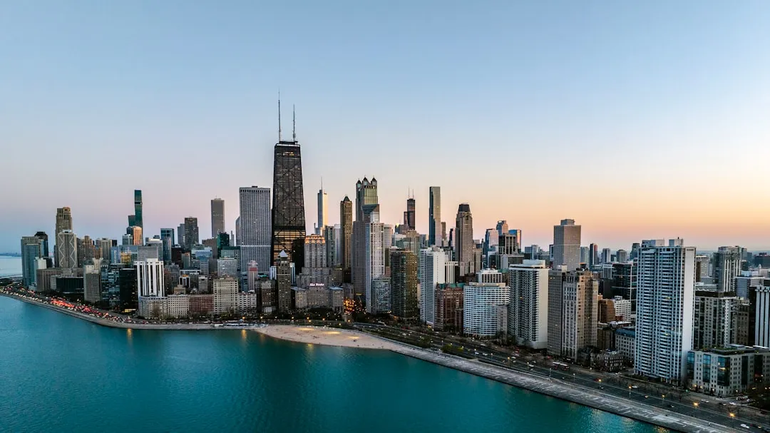
Chicago turned its back on the Chicago River for most of the 20th century, using it as an industrial drain rather than a public asset. The reversal has been decades in the making. The desire to have a continuous Riverwalk along the Main Branch of the Chicago River has been a decades-long planning and design effort. In the 1990s, Chicago’s Department of Transportation created plans for a new continuous walkway requiring a 25-foot extension of new land into the river, and in the early 2000s the city implemented its initial segments.
The final phases realized the vision of a continuous pedestrian connection along the Main Branch system, now 1.25 miles long and ending at Lake Street, envisioned as a mix of recreational, entertainment, food and beverage, and retail facilities. It’s a meaningful transformation, though an ongoing one: the river’s role in Chicago’s daily life keeps deepening with each new segment.
In a context of shifting urban paradigms and intensifying climate emergencies, cities are trying to overcome the marginality and precarity of their deindustrialized waterfronts by integrating them into plans for sustainable urban development. Chicago’s Riverwalk is one of the clearest American examples of that ambition turning into something real and well-used.
4. Pittsburgh, Pennsylvania – Three Rivers, One Vision
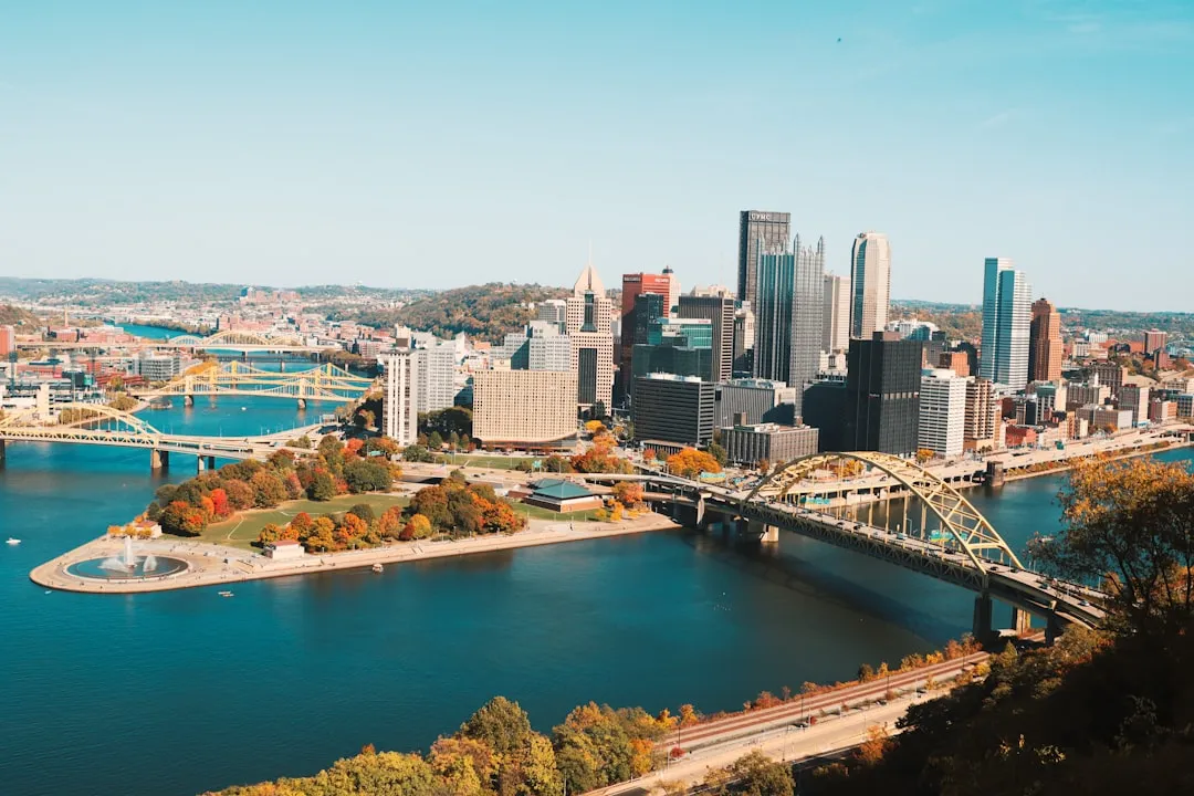
The Pittsburgh waterfront, a convergence of three rivers, has undergone an incredible transformation in recent years. Few American cities can claim three distinct river corridors, each with its own character, and Pittsburgh has spent meaningful effort reconnecting its neighborhoods to all of them.
This includes several major development projects, and working closely with the nonprofit advocacy organization Riverlife, Sasaki developed a master plan for riverfront improvements along a 20-block stretch, starting at the David L. Lawrence Convention Center out to the 31st Street Bridge. The planning process included an economic impact study to underscore past waterfront successes and project the benefits of future investment, grounding the vision in evidence rather than aspiration alone.
What makes Pittsburgh instructive is that the river work isn’t decorative. It connects actual neighborhoods, creates new cycling and pedestrian routes where industrial infrastructure once stood, and treats all three waterways as civic assets rather than boundaries. That distinction matters enormously in a post-industrial city still finding its shape.
5. Glasgow, Scotland – A Post-Industrial Riverfront Reclaimed by Community
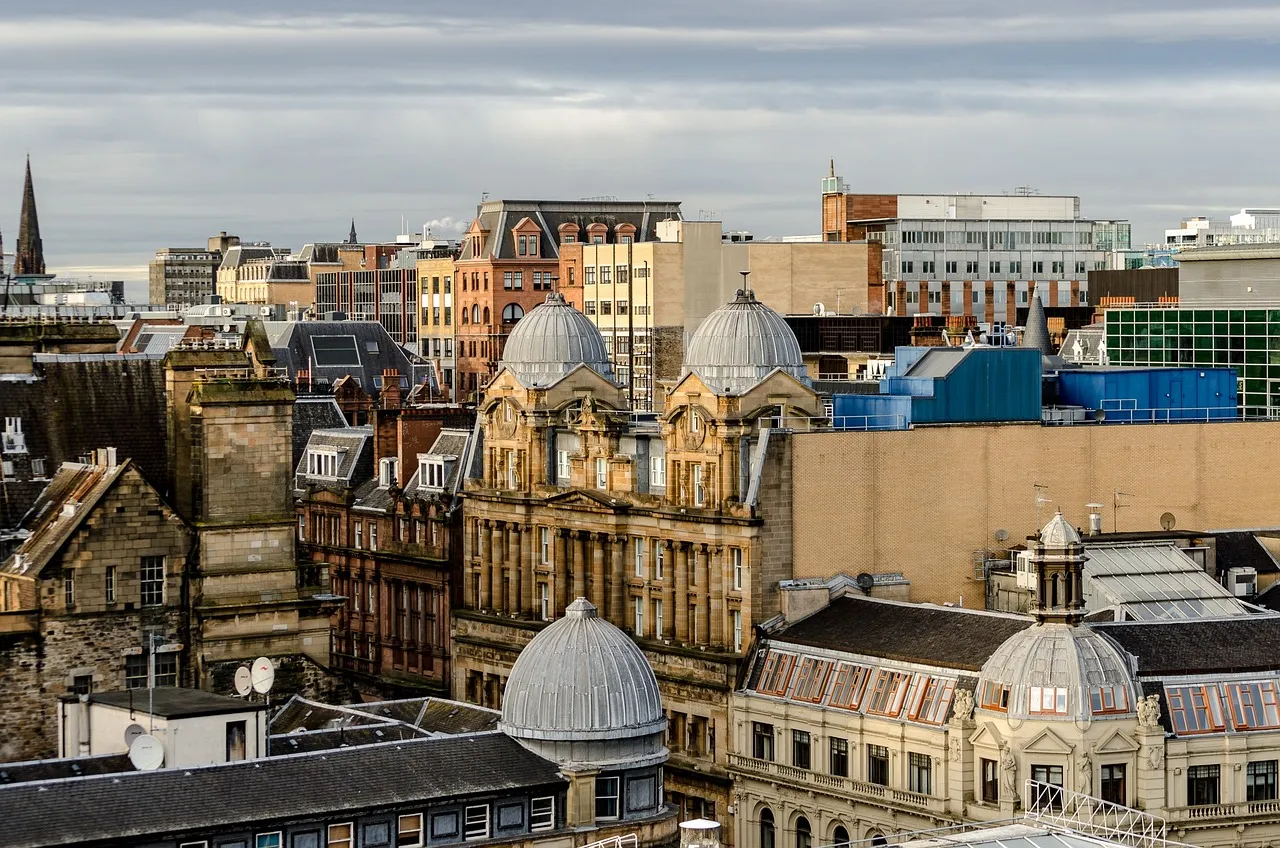
Opened in March 2026, Riverside Park in Glasgow occupies part of the historic Govan Graving Docks site and represents a major milestone in the regeneration of Glasgow’s post-industrial waterfront. The site was formerly part of the Govan Graving Docks, once a key component of Glasgow’s shipbuilding sector, which closed in 1987 and remained derelict for nearly 40 years.
Riverside Park was officially opened to the public in March 2026, marking the first time in nearly four decades that the site had been accessible, following a long campaign by local community groups, often described as a “40-year fight” to reclaim the derelict waterfront for public use. The park reconnects the district of Govan with the River Clyde, restoring access to an area historically associated with shipbuilding and maritime industry.
The broader Clyde regeneration project aimed to create more public spaces along the waterfront, including parks, walkways, and cycle paths, and the Glasgow Harbour development sought a riverside promenade. Glasgow’s story is a reminder that reclaiming a waterfront isn’t purely a planning exercise. It can take generations of community determination.
6. Nottingham, England – Stitching Two Banks Together for the First Time in Decades
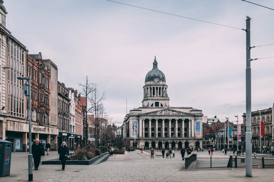
The Waterside Bridge is a pedestrian and cycle bridge over the River Trent in Nottingham, England. It is the first bridge to be built over the river in the city since Clifton Bridge in 1958. That gap of nearly seven decades tells you something about how thoroughly mid-century planning priorities sidelined pedestrian access to the river.
The bridge crosses the river 450 metres downstream of Lady Bay Bridge, connecting Trent Fields in West Bridgford on the south bank with Trent Basin in the City of Nottingham on the north bank. The site was chosen to connect to cycling infrastructure on both sides of the river, with the north bank connecting to a riverside cycleway leading to Colwick Country Park and Nottingham City’s Eastern Cycle Corridor.
The scale here is deliberately human. This isn’t a motorway crossing; it’s an 85-metre arc designed specifically for people and bikes, with no car lanes at all. For Nottingham, it represents a genuine shift in how the city thinks about the Trent – not as a boundary to manage but as a connective thread to follow.
7. Tampa, Florida – A Riverwalk That Organizes the Whole City
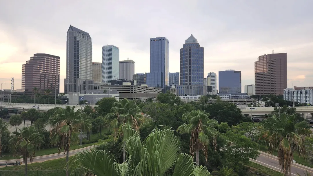
Tampa makes a strong case for the riverwalk as a city organizer, not just a nice extra by the water. This long, modern path ties together downtown highlights like museums, parks, public art, hotels, and gathering spaces, all with a layout that feels clean and easy to follow.
The route runs about 2.6 miles, which is long enough to give you range without becoming a planning exercise. You can move between cultural stops and open waterfront sections smoothly, and that balance keeps the experience from leaning too hard toward either urban or park-like. Tampa keeps improving the area, and the riverwalk feels current, well-used, and intentionally designed for locals and visitors who want more than a quick glance and a bench.
The river stays close to the action, so the waterfront never becomes an afterthought. Frequent bridges and varied stretches keep the walk visually changing, and the scale feels friendly enough that you can cover a lot without needing a map. It’s the kind of urban infrastructure that quietly improves daily life without ever demanding credit for doing so.
What These Places Share
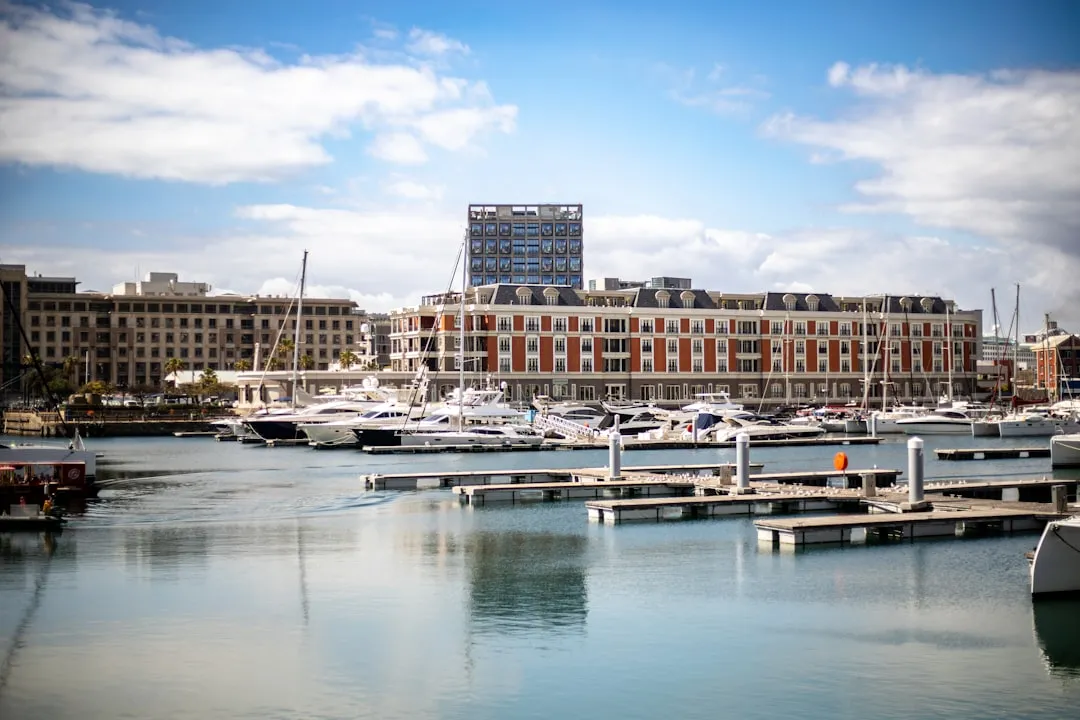
The need is to create a publicly accessible waterfront, with multi-generational paths, promenades, and bike lanes that allow people to reach the waterfront and link it to the river on one side and the neighborhoods around it. Every town in this gallery has found its own version of that principle, whether inherited or hard-won.
Previously enclosed and exhausted urban water bodies are being reclaimed, regenerated, and reconnected with the city. The urban waterfront is reimagined as a place to dwell, dine, shop, promenade and enjoy, as well as a site for urban growth and cultural expression. The shift is philosophical as much as physical. It asks a city to measure its public life not by how many cars can move through it, but by how many people actually want to linger.
When a city commits to its waterfront, it’s not just building parks or promenades, it’s choosing a way of life. That quiet choice – made in city councils, community halls, and planning offices over many years – is what separates these seven places from the thousands of riverside towns that simply built a road along the bank and called it done.
The Takeaway
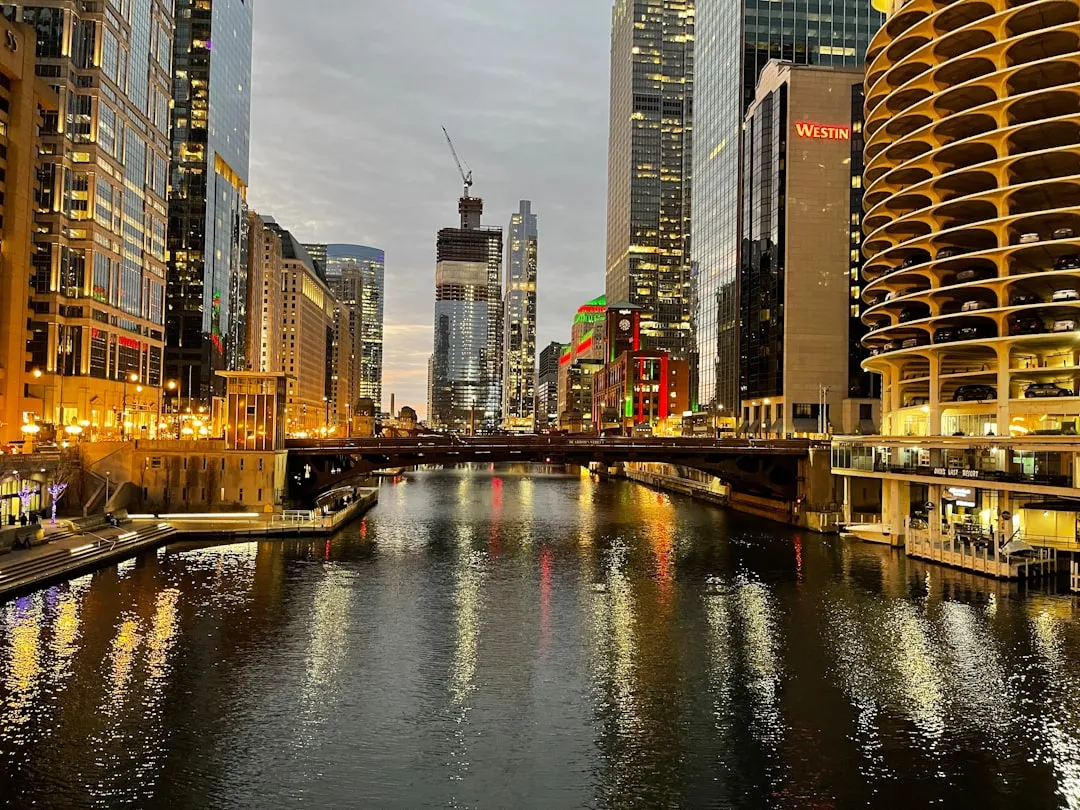
Water-centered towns aren’t a relic of the pre-automobile era. Some of the best examples, from Tampa’s expanding riverwalk to Glasgow’s newly opened Govan park, are being actively built right now. The common thread isn’t nostalgia. It’s an honest reckoning with what makes a place actually livable.
What stands out across all seven destinations is how different they are from each other in character, climate, and history, yet how similarly they feel on the ground: slower, quieter, more human in scale. The river doesn’t just add scenery. It sets the pace. And once a city learns to follow that lead rather than fight it, everything else tends to follow.
AI Disclaimer: This article was created with the assistance of AI tools and reviewed by a human editor.