


There are places on earth that feel less like destinations and more like confrontations. Argentine Patagonia is one of them. The wind hits you before almost anything else, cold and direct, carrying with it something harder to name than just altitude or latitude. You feel small here, and that smallness is, oddly, part of the appeal.
Patagonia is a vast semiarid scrub plateau covering nearly all of the southern portion of mainland Argentina, with an area of roughly 260,000 square miles, extending southward from around latitude 37° to 51° S. This is not a curated wilderness. It’s the real thing, measured in distances that take days to cross and winds that can change the shape of a tree.
A Land Defined by Scale
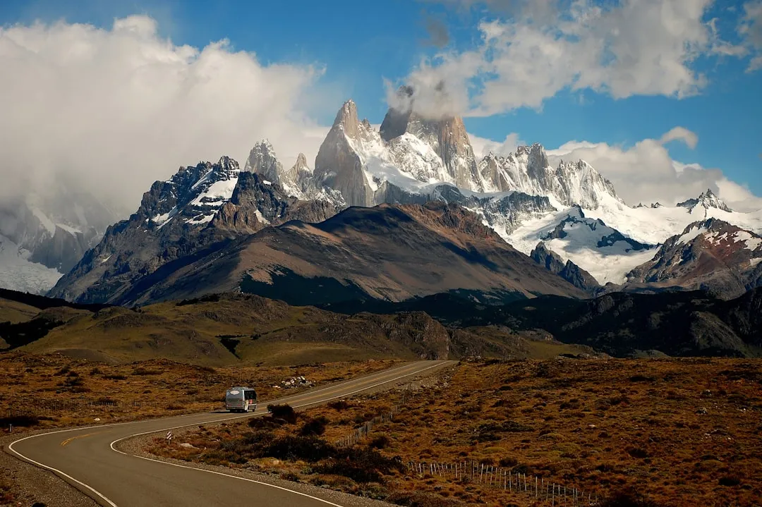
Argentine Patagonia includes the provinces of Neuquén, Río Negro, Chubut, Santa Cruz, and Tierra del Fuego. This eastern portion encompasses approximately 673,000 square kilometers and is characterized primarily by semi-arid steppes and plains extending from the Andean foothills eastward to the Atlantic coast.
Patagonia covers an area of around one million square kilometers and is larger than more than 80 percent of countries on earth. It comprises about half of Chile and half of Argentina and is home to less than five percent of either country’s population, making it one of the planet’s least densely populated regions.
The striking scenery of Patagonia is the result of major glaciological and geological transformations that took place millions of years ago, creating mountains and countless valleys, glaciers, lakes, and rivers. Patagonia is one of the most uninhabited areas on the planet and home to an incredible variety of wildlife and plant life, much of which is endemic to the region.
The Andes: Backbone of the Continent
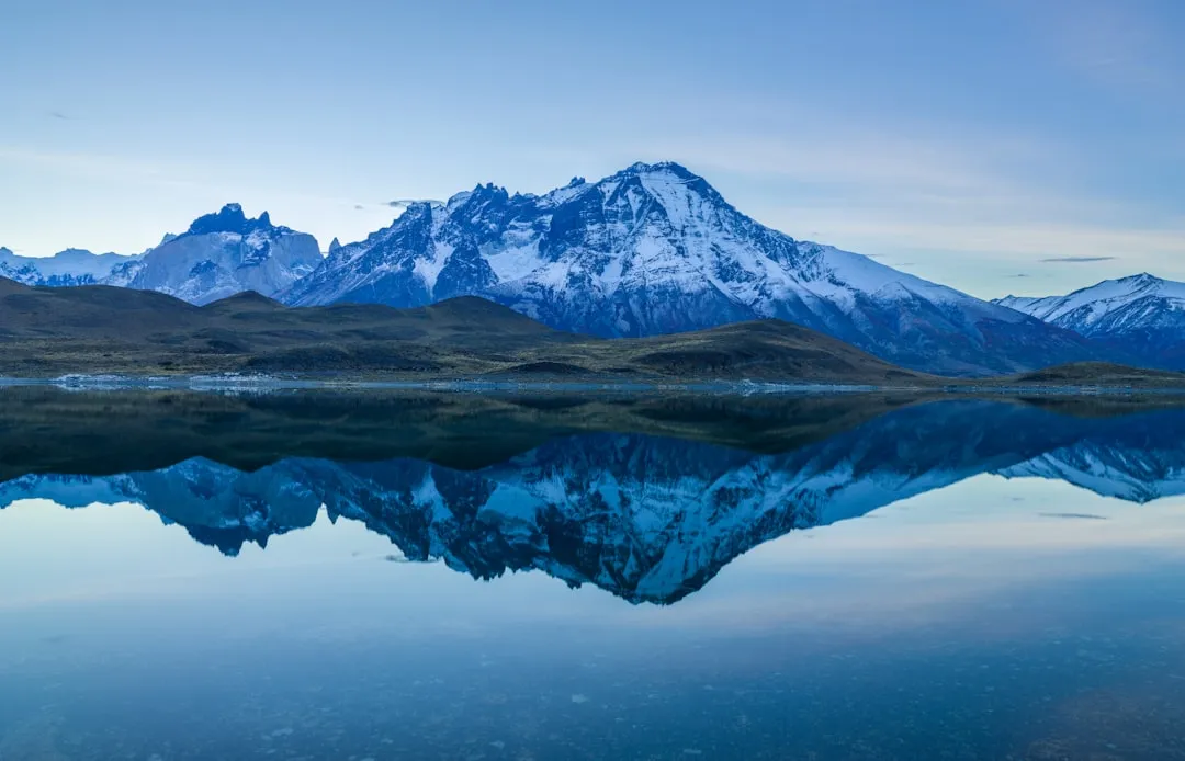
The Andes is the world’s longest mountain range, stretching over 7,000 kilometers from Venezuela in the north to Chile and Argentina in the south. A significant portion of it traverses Patagonia, eventually cascading into the frigid waters of the Southern Ocean.
The Andes of Patagonia are responsible for the region’s theatrical landscapes, its jagged high peaks like Mt. Fitz Roy (one of the world’s most challenging climbs), volcanoes, and a maze of remarkable glacial lakes, including Lake General Carrera, Lake Puelo, and Lake Nahuel Huapi.
The Andes runs through the middle of Patagonia, providing beautiful backdrops of snow-capped mountains, glaciers, and lakes. Fjords plunge dramatically into the ocean on the Pacific coast, and there is an abundance of wildlife including penguins, guanaco, and the iconic Andean condor.
The Perito Moreno Glacier: Ice in Motion
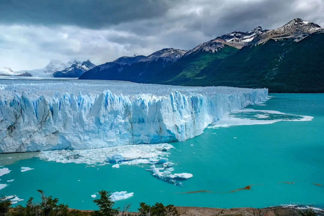
The Perito Moreno Glacier is one of 48 glaciers fed by the Southern Patagonian Ice Field, a 250 square kilometer formation, 30 kilometers in length, located within the Andes system shared with Chile. This ice field is the world’s third largest reserve of fresh water.
The terminus of the Perito Moreno Glacier is 5 kilometers wide, with an average height of 74 meters above the surface of the water of Argentino Lake. It has a total ice depth of 170 meters. The scale is difficult to process from a photograph.
Recent scientific data detects an acceleration in frontal surface lowering rates, from 0.34 meters per year between 2000 and 2019 to 5.5 meters per year between 2019 and 2024, accompanied by glacier acceleration and retreat. Researchers have demonstrated the potential for large-scale buoyancy-driven retreat once the glacier recedes beyond a subglacial ridge. The study notes that the glacier is undergoing its most substantial retreat in the past century as of 2025.
Los Glaciares National Park and El Chaltén
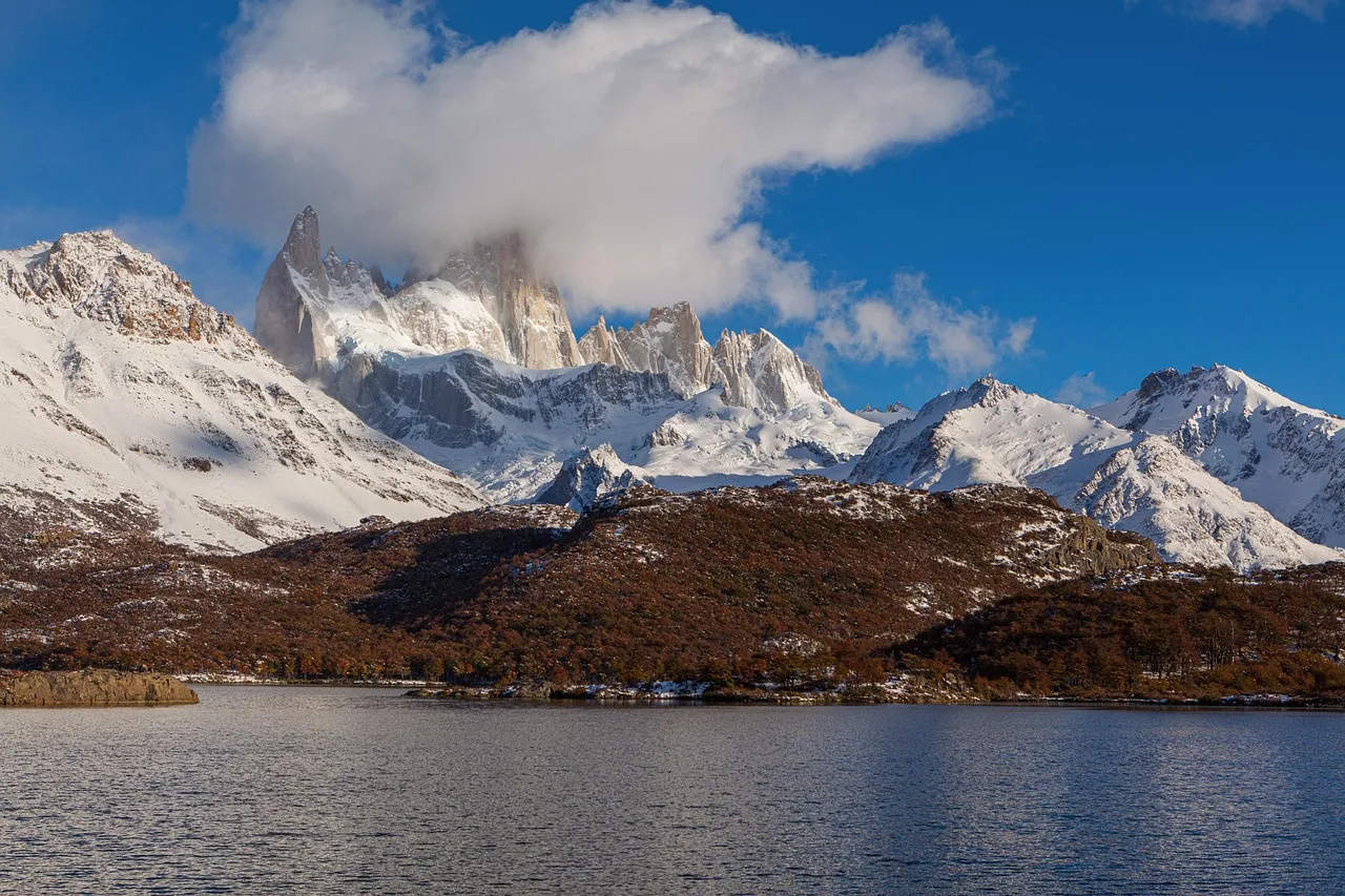
In 2022, Los Glaciares was the most visited national park in Argentine Patagonia, registering over 675 thousand visits. Nahuel Huapi followed second on that list, with roughly 524 thousand visits.
El Chaltén, located within Los Glaciares National Park, is considered the trekking capital of Argentina. The best-known trails lead to Laguna de los Tres at the foot of Cerro Fitz Roy, and to Laguna Capri, ideal for shorter hikes. The area also includes the La Leona Petrified Forest, with visible fossils and tree trunks that reveal a prehistoric past.
Despite periodic challenges including wildfire seasons and inflationary pressure, visitor numbers to Patagonia’s flagship parks have returned to pre-pandemic rhythms. Local resort towns such as El Calafate are reporting full or near-full occupancy across the core summer months, reinforcing the picture of a region operating close to capacity during high season.
The Atlantic Coast: Wildlife on a Grand Scale
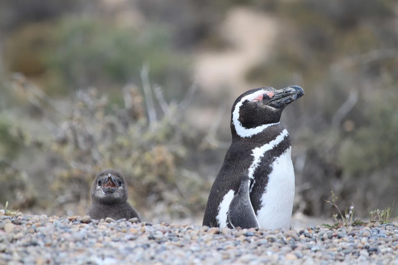
Peninsula Valdés in Argentine Patagonia represents one of the continent’s most significant marine wildlife areas, hosting breeding colonies of southern right whales, southern elephant seals, southern sea lions, and the world’s largest breeding colony of Magellanic penguins.
The best place to spot wildlife along Argentina’s Atlantic coastline is the Valdés Peninsula, an area of around 3,623 square kilometers. It is an important nature reserve that was listed as a World Heritage Site by UNESCO in 1999.
Further south, Punta Tombo welcomes nearly a million Magellanic penguins each season. Wildlife watching from the Valdés Peninsula for whales runs from May to November, while the best time to see penguins at Punta Tombo runs from October to February.
Ruta 40: The Road That Crosses Everything
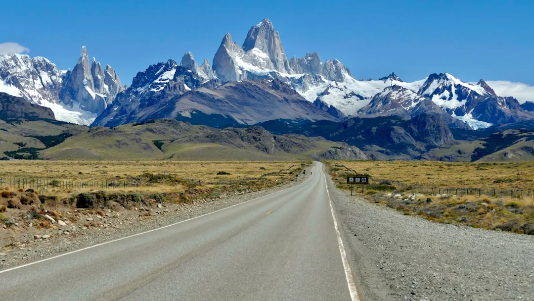
Stretching over 5,000 kilometers from north to south, Ruta 40 is a legendary highway that traverses some of Argentina’s most raw and breathtaking landscapes. The southern stretches through Santa Cruz are characterized by immense solitude, endless horizons, and a stark beauty that captivates long-distance road trippers and overlanders seeking the ultimate Patagonian experience.
The Patagonian stretch from Bariloche to El Calafate takes at least 7 to 10 days, especially if you stop for hikes or boat trips. The road is full of places you’ll want to stop at last minute, whether for a roadside view, a small museum, or just a quiet place to walk around.
Around 40 percent of Ruta 40 is still unpaved, especially in remote parts of Patagonia. These gravel sections, known locally as ripio, can get rough, and travelers should plan to drive slowly at around 40 to 60 kilometers per hour to avoid damaging their vehicle. Distances between fuel stations can exceed 200 kilometers in stretches, so carrying extra fuel is essential.
Ushuaia and the End of the World
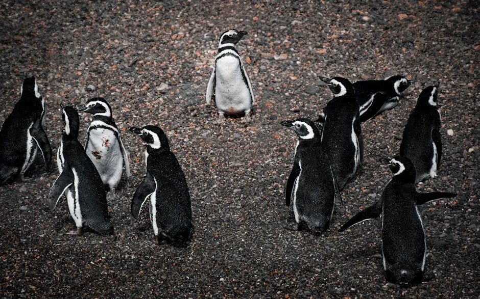
In Ushuaia, the southernmost city in the world, a must-see experience is sailing through the Beagle Channel, with marine wildlife such as sea lions, cormorants, and Magellanic penguins on Martillo Island. Another key attraction is Tierra del Fuego National Park, accessible via the historic End of the World Train or independently by car.
The bottom of South America is also the closest landmass to Antarctica, making it a popular jumping-off point for Antarctic voyages and cruises. The distance between continents here is only 600 miles. For travelers drawn to extreme geography, very few places come close.
Tierra del Fuego is Patagonia’s southernmost outpost, a place of epic mountain hikes, thick forests, wild glaciers, and penguin colonies as condors wheel high above.
Wildlife of the Steppe and Sky
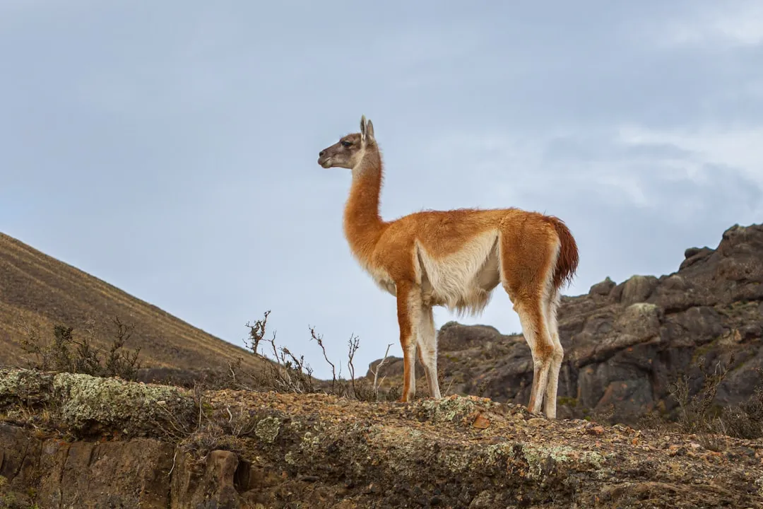
Patagonia is known particularly for pumas, but visitors also find the world’s smallest deer, flightless rheas, massive Andean condors, armadillos, fox, and slender guanacos.
Guanacos are camelids endemic to South America and one of the continent’s largest mammals, weighing between 200 and 300 pounds and standing approximately 3.5 feet at the shoulder. They can be found in forests, grasslands, deserts, and shrublands of the Andean foothills in areas ranging from sea level to 13,000 feet. The guanaco can run nearly 35 miles per hour, faster than any other Patagonian animal except the puma.
The National Huemul Corridor, established in 2024, aims to reconnect isolated huemul deer populations across Chilean Patagonia, enabling genetic exchange and habitat connectivity essential for the species’ long-term survival. Conservationists discovered a new huemul subpopulation in 2025 at Cape Froward, demonstrating that remote areas still harbor undocumented wildlife populations.
Cueva de las Manos: 13,000 Years of Human Presence
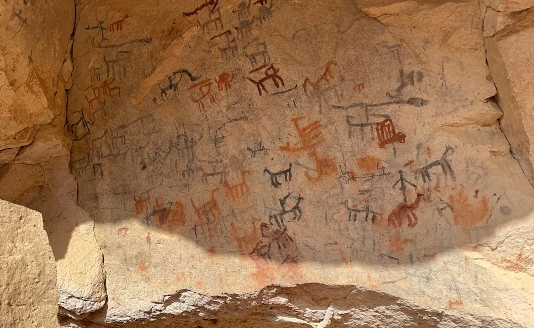
Named after its paintings of mainly hands, the Cueva de las Manos hosts a perfectly preserved collection of cave art dating back 13,000 years. This section of Ruta 40 connects, via entrance routes, to both Perito Moreno National Park and the Cueva de las Manos, a World Cultural Heritage Site.
The well-worn path into the cave was originally made by the Tehuelches who inhabited the area more than 10,000 years ago. The Tehuelches left their mark through rock paintings featured in the cave, including animal symbols and intriguing depictions of hands.
The very name Patagonia is said to be derived from Patagones, as the Tehuelche Indians, the region’s original inhabitants, were called by 16th-century Spanish explorers. That history runs quietly beneath every landscape here.
Tourism on the Rise, With Pressures to Match
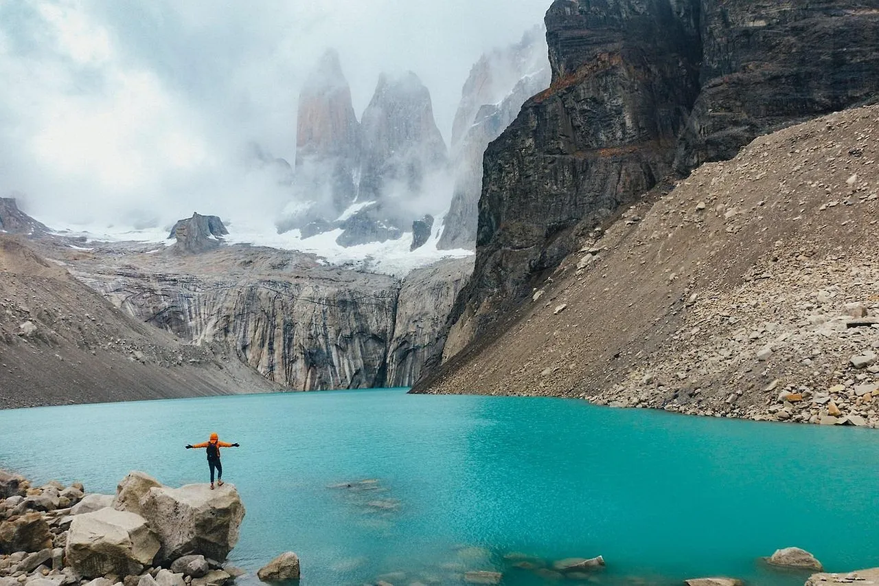
Argentina received an estimated 7.4 million international visitors in 2024, surpassing its pre-pandemic baseline and positioning the country among the most visited destinations in the Southern Cone. Average international spend in Patagonia typically runs higher than the national average, sitting toward the upper end of the USD 70 to 110 per day range.
Patagonia and Iguazú achieve peak occupancy above 75 percent during high season, and growth in boutique hotels and eco-lodges is notable in the region. Argentina faces environmental concerns including glacier retreat, protected area stress, and waste management in high-traffic zones.
Fresh booking data for 2025 and early 2026 shows South America travel accelerating, with Patagonia’s wild frontiers driving the strongest demand among adventure-focused travelers. Tour operators specializing in the region report that fixed departures for the 2025 to 2026 austral summer are filling well in advance, in some cases months before the season begins. The region’s draw is not softening. If anything, it intensifies with every passing season.
When to Go and How to Plan
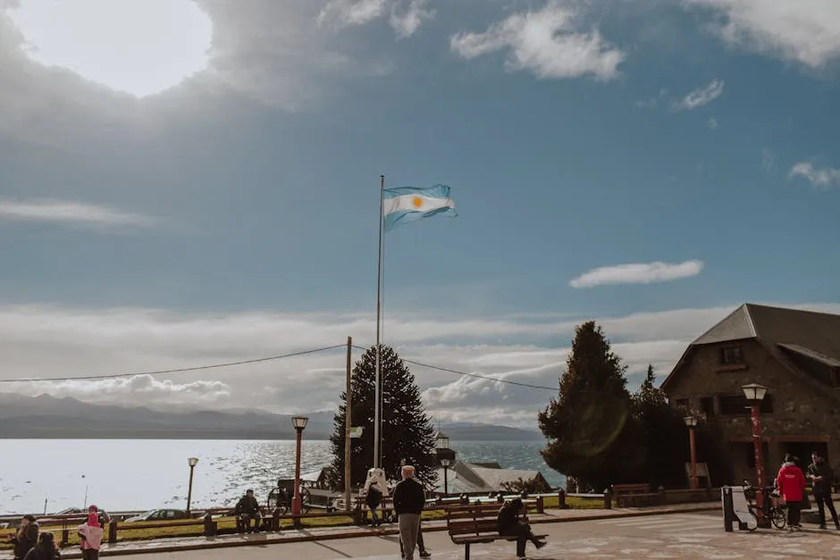
For Patagonia, October through March is the best travel window, offering the most stable conditions for trekking, glacier visits, and wildlife watching. Winter, from June through August, brings a ski season to resorts like Cerro Catedral in Bariloche, Cerro Bayo in Villa La Angostura, and Cerro Chapelco in San Martín de los Andes.
In 2022, Argentine Patagonia received nearly 3.9 million overnight visitors in accommodation establishments, with January being the peak month, recording over 454,000 visitors. Timing a trip outside the peak summer weeks pays off with quieter trails and more available accommodation.
Argentine Patagonia is one of the safest regions in the country, and most tourist destinations are safe to walk around at night. Accommodation ranges from roughly USD 40 for mid-range hotels up to USD 200 for luxury options, with prices notably higher in El Calafate and Ushuaia.
A Region Worth Protecting
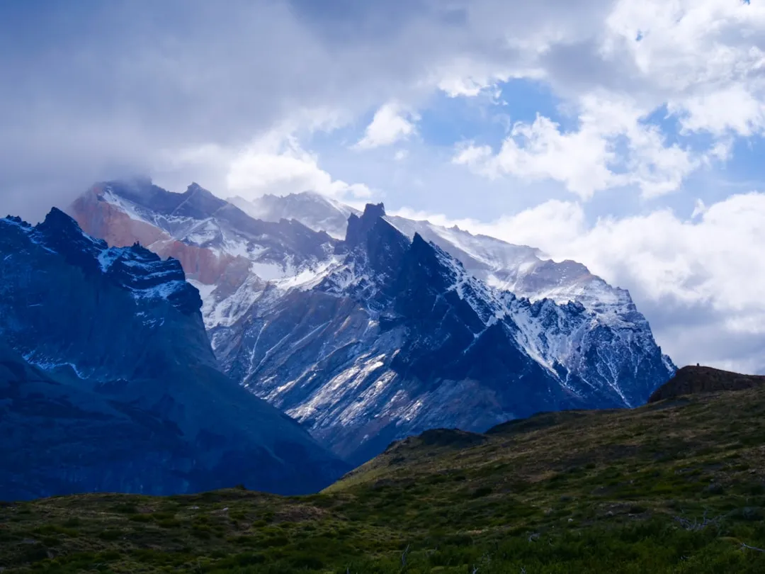
The Patagonian ice masses are experiencing one of the highest rates of mass loss on the planet. A 2024 state-supported report presented to Argentina’s Congress revealed that although Perito Moreno maintained a stable mass for nearly 50 years, the most significant and long-lasting ice loss has occurred since 2015.
Rewilding efforts have transformed degraded ranchlands into functioning ecosystems. Through removing livestock, dismantling fences, and restoring native vegetation, vast areas have rebounded, bringing back native wildlife and ecological processes. Species reintroductions have restored Darwin’s rheas and other extirpated fauna to places where they had disappeared decades earlier.
Climate change is having considerably detrimental effects on Patagonia’s glaciers. Conservation efforts and research are ongoing to understand and protect these precious natural resources. The region has always been defined by forces larger than any single human agenda. Whether that balance holds depends, in part, on choices being made right now.
The shadow of the Andes falls long across this landscape. It covers desert, ice, ancient rock art, and a coastline teeming with life. Argentine Patagonia rewards those who approach it with patience, because the more time you give it, the more it quietly and completely gives back.AI Disclaimer: This article was created with the assistance of AI tools and reviewed by a human editor.