


There’s a stretch of road in northern Washington that does something unusual. It makes you forget where you were going in the first place. You pull off at a viewpoint for five minutes and find yourself still standing there forty minutes later, staring at turquoise water and jagged peaks that look more painted than real.
That road is the North Cascades Highway, officially known as State Route 20, and it has quietly become one of the most talked-about scenic detours in the entire Pacific Northwest. Road trippers who take it rarely regret adding the miles.
The Highway That Became Washington’s Crown Jewel
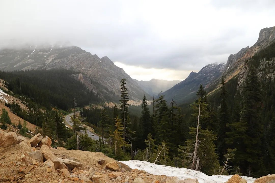
State Route 20, also known as the North Cascades Highway, is Washington’s longest highway, traveling 436 miles across the northern areas of the state from Discovery Bay on the Olympic Peninsula all the way to U.S. Route 2 near the Idaho state border. That’s an enormous span of terrain, but the section that road trippers keep coming back for is a specific mountain corridor that cuts through the heart of the Cascades.
With its hairpin turns and jaw-dropping vistas, many argue that the North Cascades Highway is the most scenic road trip in Washington State. That’s a bold claim in a state that’s overflowing with scenic routes, which is exactly what makes it worth paying attention to.
Why Road Trippers Call It a Detour Worth Every Minute
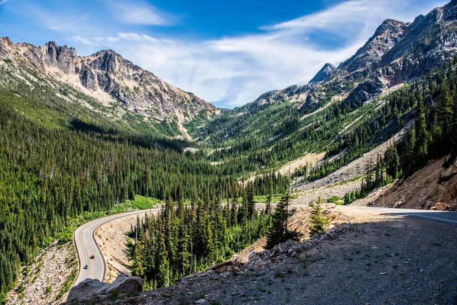
The most scenic part of the path lies in North Cascades National Park, where a 140-mile stretch of the road belongs to the Cascade Loop. This section of the highway begins at Twisp in the Methow Valley, ascends to North Cascades National Park, and follows through to Sedro Woolley in the Skagit Valley.
Each year, thousands of drivers travel Washington State’s breathtakingly beautiful North Cascades Highway, observing the region’s alpine flora and fauna and its dramatic geological features. Prepare for sweeping vistas, alpine meadows, wildlife watching opportunities, and recreation galore. Very few roads in the lower 48 states pack this kind of variety into a single drive.
The Diablo Lake Stop That Stops Everyone
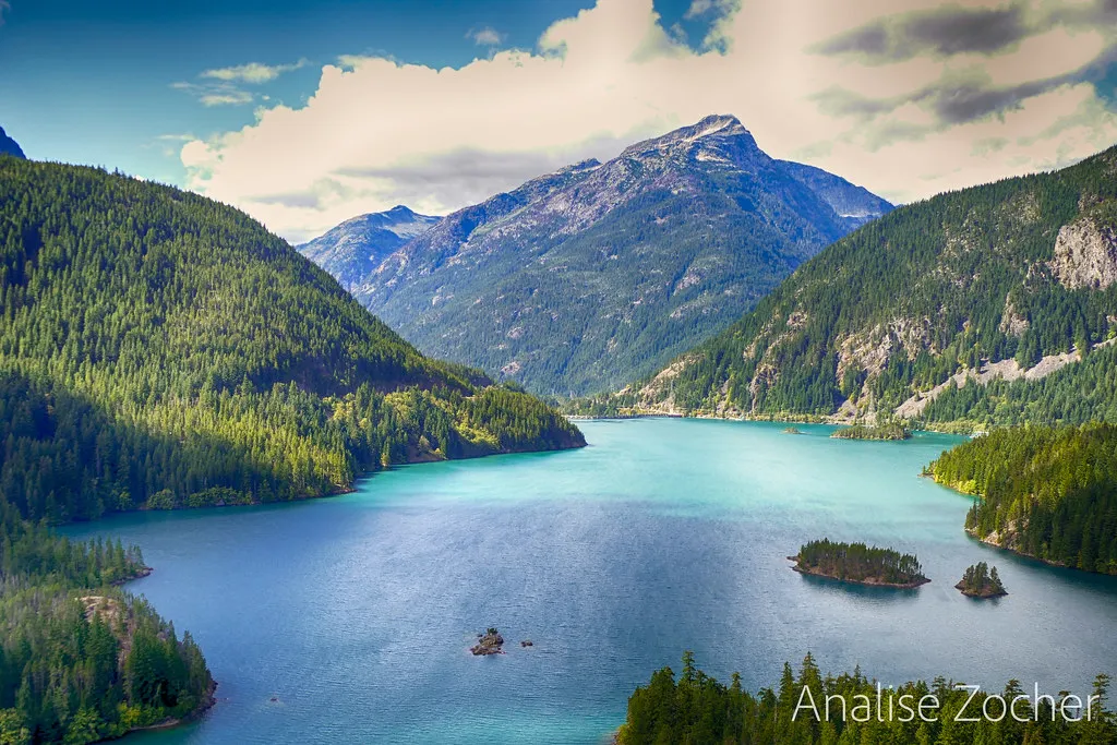
Diablo Lake, with its striking turquoise hue, is a man-made reservoir created by the construction of the Diablo Dam. The lake’s color is a result of “glacial flour,” fine rock particles suspended in the water. First-time visitors often think something has been done to the photo when they see it online. Then they arrive and realize it actually looks like that.
SR 20 heads through Newhalem and the narrow Diablo Canyon to the Diablo Dam and Diablo Lake, a reservoir that is colored turquoise blue. The viewpoint overlooking the lake is one of the most photographed spots on any Washington state highway, and with good reason.
The Washington Pass Overlook: The High Point of the Drive
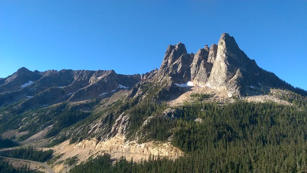
The North Cascades Highway is one of the highest paved roads in the Pacific Northwest, reaching an elevation of over 5,400 feet at the Washington Pass Overlook. This breathtaking viewpoint offers panoramic vistas of jagged, snow-capped peaks.
Passing by the massive bulk of Liberty Bell and Early Winters spires, the North Cascades Highway 20 climbs steadily through expansive, rugged beauty toward Washington and Rainy Pass viewpoints at milepost 157.6. If you only make one stop on this entire drive, the Washington Pass Overlook is it.
Glaciers, Wildlife, and Old-Growth Forest Along the Route
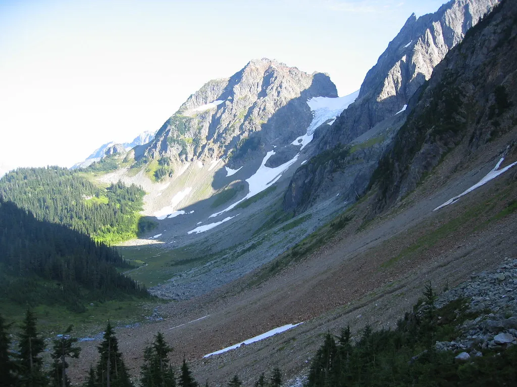
The highway passes through the heart of North Cascades National Park, home to over 300 glaciers, the largest concentration of glaciers in the contiguous United States outside of Alaska. That figure alone puts the scale of what you’re driving through into perspective.
Wildlife viewing opportunities abound along the highway, with chances to spot black bears, mountain goats, pikas, and the elusive wolverine, the largest member of the weasel family. The drive also passes through old-growth forest that has remained largely untouched, adding to the sense of deep wilderness even from the road.
The Cascade Loop: The Bigger Road Trip Context
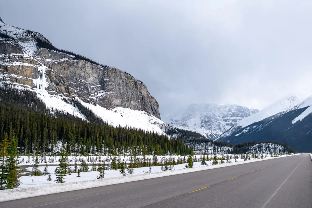
The Cascade Loop National Scenic Byway is comprised of nine unique regions that span a 440-mile loop from the salty sea air of the Puget Sound and the Salish Sea along lush river valleys of Western Washington, over mountain passes surrounded by dense evergreen forest, past apple orchards and vineyards, through acres of fields and farmland, and the shrub-steppe of Eastern Washington.
This 440-mile byway is so grand it contains three other road trips within it: Stevens Pass, Whidbey Island, and the North Cascades Highway. Many road trippers choose to drive only the North Cascades section as a detour, but those who do the full loop often say they’re immediately planning to come back and do it again.
The Town of Winthrop: A Surprise at the End of the Pass

The drive continues on WA-20 to Winthrop, known for its whimsical American Old West design of the town buildings. The climate here is remarkably drier and hotter than the first section of the drive. Winthrop is a hub for year-round recreation including horseback-riding, kayaking, rafting, fly-fishing, and in winter, prime cross-country skiing.
Extending from Pateros to the crest of the Cascade mountains, the Methow Valley is Washington state’s Wild West. Winthrop sits right at the edge of this valley, making it a natural stopping point for anyone who just descended from the high passes and needs food, fuel, and a moment to process what they just drove through.
When to Go and When to Stay Home
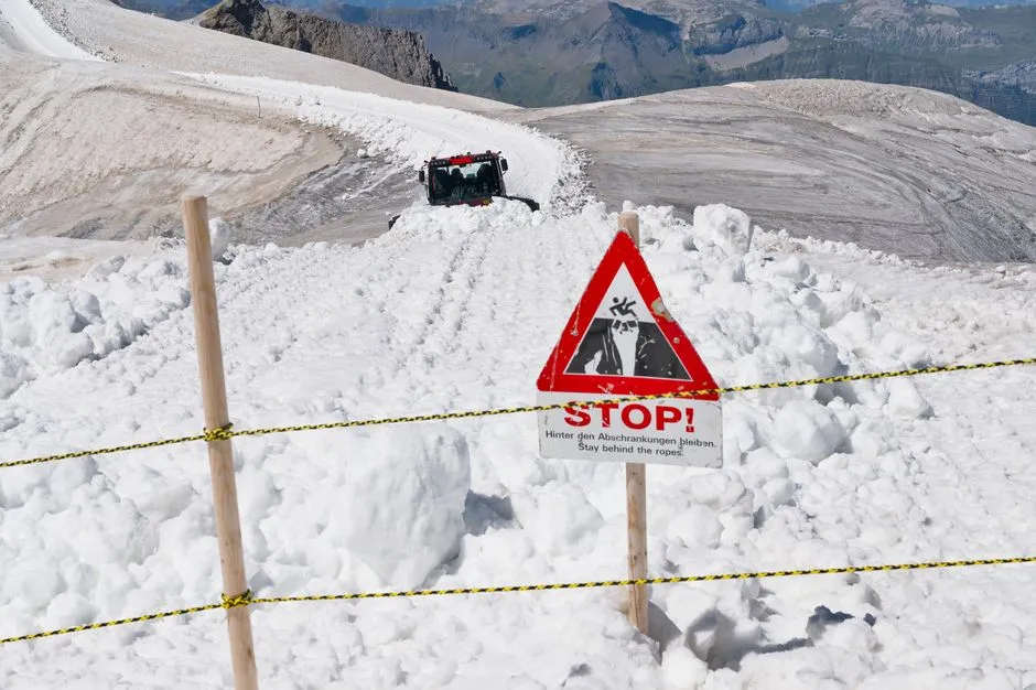
Depending on the snowfall, the highway typically opens in late May or early June. During the winter months it’s closed due to heavy snowfalls and avalanche danger. This is not a minor seasonal inconvenience. The closure is a genuine safety measure, and the highway takes the warnings seriously.
The road closes every winter when weather, snow conditions, and avalanche danger threaten safety. Avalanche hazard usually closes the highway sometime in late November or early December, and it usually reopens sometime between April and early May. The normal winter closure is between milepost 134 at the Ross Dam Trailhead and milepost 171 at Silver Star Creek. Late summer, particularly July through September, is consistently regarded as the prime window for this drive.
A Living Geological Classroom on Wheels
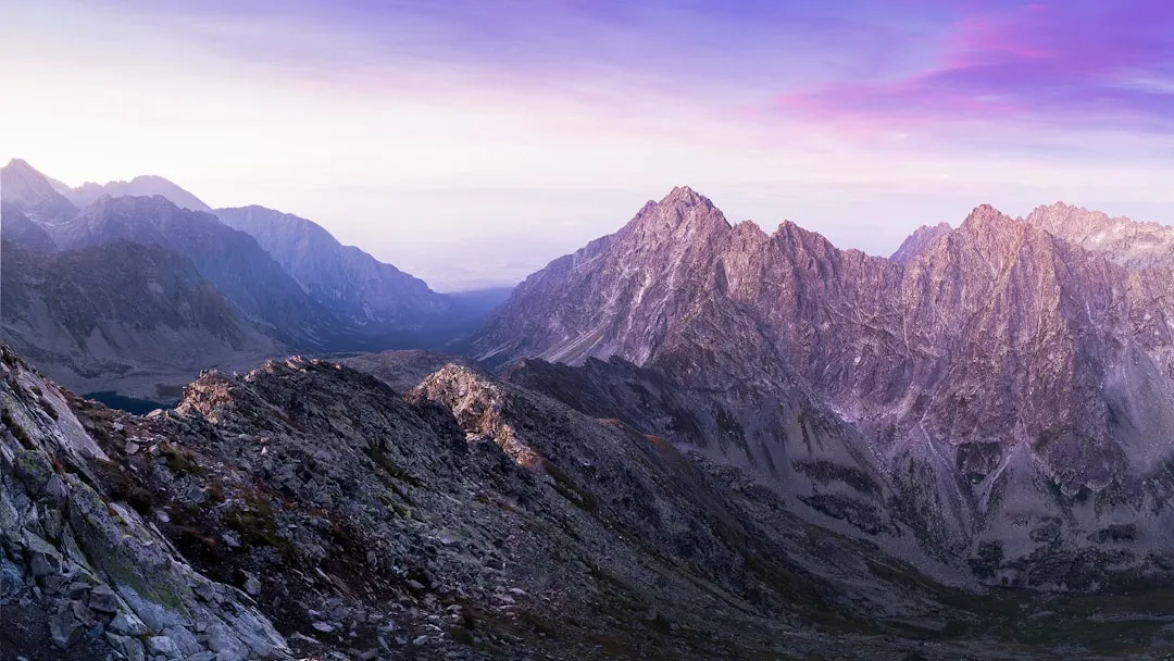
The highway traverses a geologically young mountain range, with many of the peaks formed less than 10 million years ago. This rapid uplift is due to the ongoing tectonic collision between the Pacific and North American plates. In other words, the drama you’re looking at from the road is still actively unfolding over geological time.
The highway’s dramatic drop in elevation, from the rugged high country to the lush Skagit River valley, creates a diverse array of microclimates and ecosystems along the route. You can go from alpine tundra to dense river-bottom forest within the span of an hour. Few drives anywhere in North America offer that kind of ecological compression.
Planning Your Detour: Practical Notes Before You Go
As you approach Marblemount, there are very few gas stations for the next 90 miles, making this a good time to check your gas tank. This is one of those practical realities that catches first-timers off guard. The remoteness is part of what makes the drive feel special, but it demands a small amount of preparation.
The highway is only about three hours from Seattle but feels fairly remote. Great stops to make include Diablo Lake and the hairpin turns on Washington Pass, many of which have shoulder pull-overs. Plan for the drive to take longer than the map suggests. Every viewpoint is a temptation, and the good ones have a way of adding unplanned hours to your day in the best possible way.
Why Road Trippers Keep Coming Back
The route is roughly 250 miles out and back from Sedro-Woolley to Winthrop, with the best time to drive being late summer in July, August, and September. The iconic Highway 20 is often called the North Cascades Highway, as it is the main road to nearly all the stops in the park. It was also the very first national scenic route in the United States, which means there is plenty to see.
The North Cascades Highway is the first National Scenic Highway in the United States. That designation carries real meaning. It’s not just a pretty drive. It’s a drive that helped define what a scenic highway is supposed to feel like in America, and Washington road trippers who have taken the detour once tend to treat it like something they quietly own and keep telling strangers about.
There are roads you take to get somewhere, and then there are roads that become the destination entirely. The North Cascades Highway is firmly in the second category, and the road trippers who have found it aren’t in any rush to tell you about it – though they always do.
AI Disclaimer: This article was created with the assistance of AI tools and reviewed by a human editor.