

There’s a moment every summer in Phoenix when the heat stops feeling like weather and starts feeling personal. Steering wheels too hot to grip at 8 a.m., electricity bills that sting by July, and a sky that offers no mercy for months. For a growing number of Arizona residents, that moment now ends with a drive north on the Beeline Highway.
The destination is Payson, a mountain town tucked into the pines of northern Gila County, roughly 90 miles from downtown Phoenix. It sits at the edge of a vast creek system and a ponderosa pine forest that most Valley residents don’t think about until the thermometer cracks a number that starts with 11. Then, suddenly, everyone remembers it exists.
Phoenix Heat Has Become a Public Health Emergency
In February 2026, the Phoenix Mayor and City Council approved the 2026 Heat Response Plan, with city leadership formally recognizing extreme heat as a public health emergency and noting two consecutive years of declining heat-related deaths. The progress is real, but the underlying conditions are not improving on their own. Preliminary 2025 data from Maricopa County showed an estimated 427 heat-related deaths, which, while a decline from 2024, still represents a grim seasonal toll.
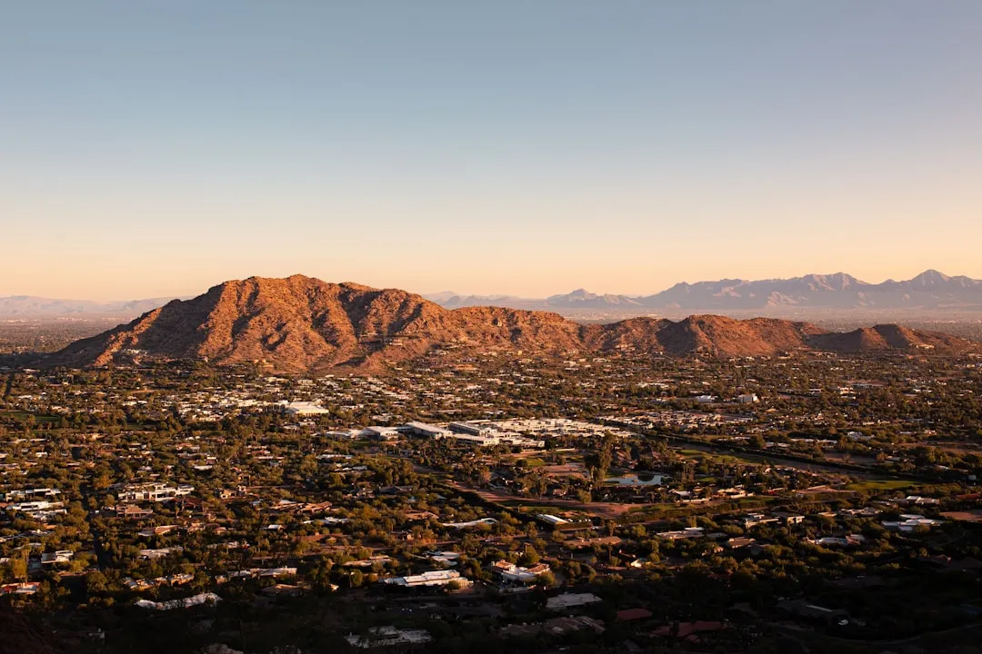
Urban heat in Phoenix continues to impact health, safety, comfort, and economic development, and projections suggest the situation will worsen over time, with the number of days above 110°F expected to more than double by 2060. In 2025, the American Lung Association ranked Phoenix the fourth most ozone-polluted metropolitan area in the country. For many long-term residents, these are no longer abstract statistics.
The Phoenix Metro Is Still Growing, but the Cracks Are Showing
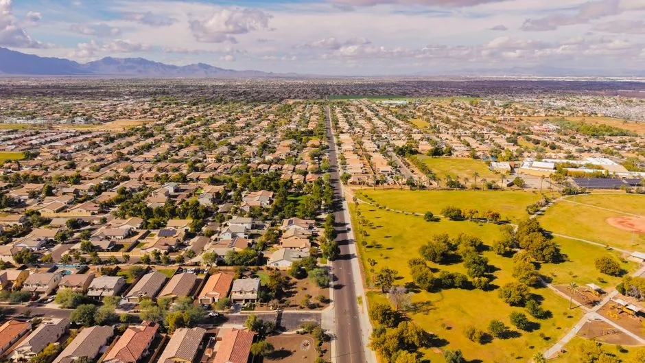
The Phoenix metropolitan area’s population reached 4,777,000 in 2024, marking a steady increase from the previous year. By 2026, the metro is projected to reach approximately 4.9 million residents, though the rate of net domestic migration has slowed compared to the post-pandemic boom of 2021 through 2023.
Despite a cooling housing market, affordability remains a critical issue in Phoenix, with income growth failing to keep pace with housing costs. Summer electricity bills for a typical Phoenix home can reach $300 to $400 a month, a burden that compounds quickly for households already stretched thin. Those two forces together, brutal heat and financial pressure, are nudging a portion of the population to look elsewhere.
Payson: The Mountain Creek Town Most Phoenicians Overlook
Payson is an incorporated mountain town in northern Gila County, set at roughly 5,000 feet elevation just below the Mogollon Rim, about 90 minutes north of the Phoenix metro on State Route 87, the Beeline Highway. The town is surrounded by the Tonto National Forest, the largest of the six national forests in Arizona and the ninth largest national forest in the United States.
Payson, with a population of nearly 17,000 people, is known as the gateway to the Mogollon Rim, a 200-mile escarpment where the Colorado Plateau meets the world’s largest continuous Ponderosa pine forest. It’s close enough to Phoenix that people treat it like a weekend escape, yet different enough in character that some are starting to stay permanently.
A Temperature Difference That Actually Changes Daily Life
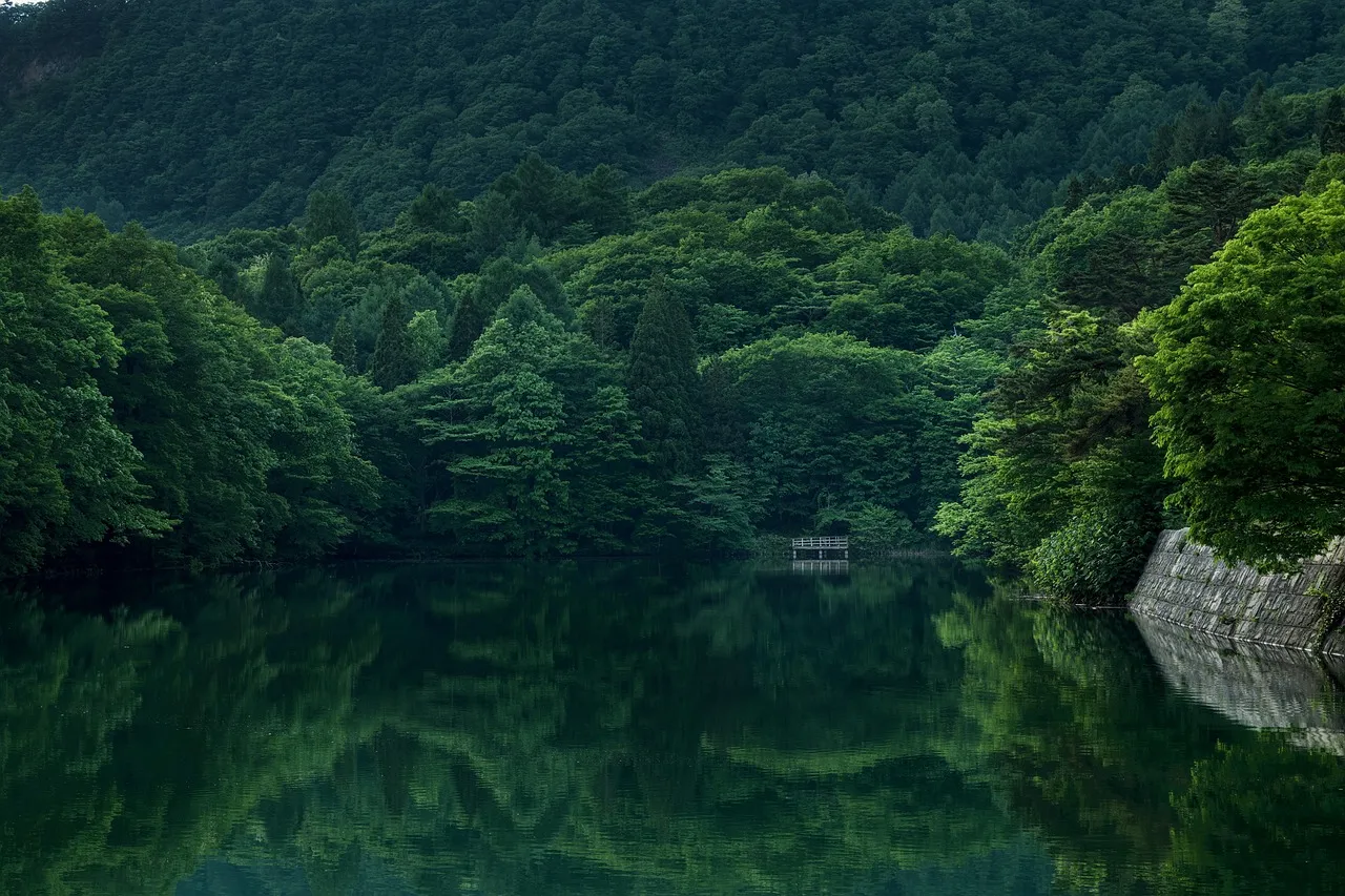
Sitting at approximately 5,000 feet in elevation below the Mogollon Rim, Payson offers a noticeably cooler climate than the Phoenix area, with four distinct seasons, mild summers, and crisp mountain air. Payson is typically 10 to 20 degrees cooler than Phoenix due to its higher elevation. In practical terms, that’s the difference between staying inside and actually going outside in July.
The region’s summer temperatures stay around 70 degrees Fahrenheit, peaking in the low 90s in July, while winter can dip as low as 25 degrees Fahrenheit in December. The top of the Mogollon Rim, which sits at around 7,500 feet, carries temperatures 10 to 15 degrees cooler than those in the town of Payson itself. So even on Payson’s warmest days, the forest is waiting just a short drive away.
Tonto Creek: The Real Draw for Outdoor Families
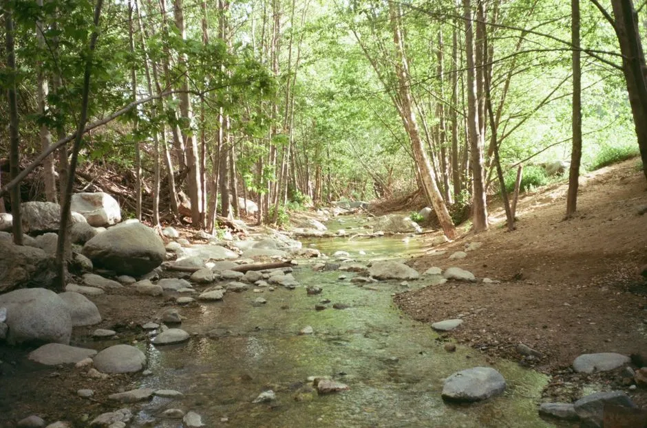
Tonto Creek forms as a runoff stream in the high elevations of the Sierra Ancha Mountains of Tonto National Forest on the southwest side of the Mogollon Rim, then flows south by southwest about 72.5 miles to Roosevelt Lake. It’s one of the most accessible mountain creek systems in the state for Phoenix families, and it defines the summer rhythm for those who live nearby.
Many recreationists visit the Payson Ranger District looking to relax and escape the heat, participating in activities such as hiking, mountain biking, horseback riding, OHV riding, and camping, with many developed campgrounds reaching capacity during the busy summer months. Each spring, Tonto Creek is stocked with rainbow trout, allowing anglers the opportunity to fish for rainbows as well as brook and brown trout.
Trails, Pines, and the Highline: Outdoor Recreation at Real Scale
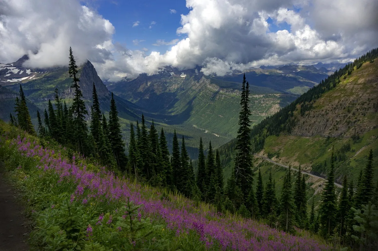
The Payson Area Trails System contains more than 20 miles of intersecting and connecting routes to explore. The 8.8-mile Horton Creek Trail is one of the most challenging in the Payson area, with a 2,450-foot elevation gain and diverse terrain. For those who want something longer, the forest delivers far more than a weekend hike.
For hikers, the Highline National Recreation Trail provides a 51-mile journey below the Mogollon Rim, showcasing the geological complexity of the region. The Tonto National Forest covers nearly 3 million acres of rugged, ecologically rich terrain, with elevations ranging from 1,300 to 7,900 feet, offering year-round opportunities for outdoor recreation. It’s the kind of scale that makes a weekend here feel like a trip to a different state entirely.
The Real Estate Picture: What Buyers Are Actually Finding
Payson is the largest population center in Rim Country and the regional commercial hub for second-home buyers, retirees, and full-time residents escaping desert heat. As of May 2026, the Payson market is a buyer’s market, with the median single-family sale price near $485,000, down about 4 percent year-over-year, while average days on market have stretched past 100 days.
Payson has a fixed land base, regulatory constraints on water that cap large-scale new construction, an aging owner-occupier base, and a steady inflow of Phoenix-metro retirees and remote workers, with the price softness in 2024 through early 2026 reflecting normal cycle behavior after the 2021 to 2023 run-up. Homes in Payson include manufactured homes, townhouses and condominiums, as well as sprawling luxury builds on acreage with mountain and forest views.
A Community With Deep Roots and Real Character
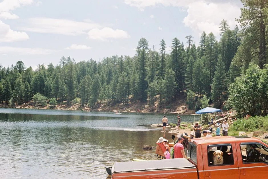
Due to Payson’s location being very near to the geographic center of Arizona, it has been called “The Heart of Arizona,” and the town serves as a gateway to the vast wilderness of the Colorado Plateau. Payson boasts a lively festival calendar, including the World’s Oldest Continuous Rodeo established in 1884, as well as the Arizona State Old Time Fiddlin’ Championship, which celebrates the area’s musical heritage.
When it’s time for some lakeside bliss, the main attraction is the 43-acre Green Valley Park, known as the “Jewel of Payson” and home to three lakes, with 3.8 miles of walking paths, a boat ramp, picnic areas, and fishing opportunities. Many retirees live in Payson, and the community tends toward a suburban-rural mix where most residents own their homes.
The Honest Tradeoffs Worth Knowing Before You Move
Payson is not for everyone, and it’s worth being clear-eyed about that. Residents with younger families have noted the town lacks certain infrastructure, with limited services compared to faster-growing Arizona towns like Prescott and Show Low that continue to expand. The town is also developing responses to its own environmental risks.
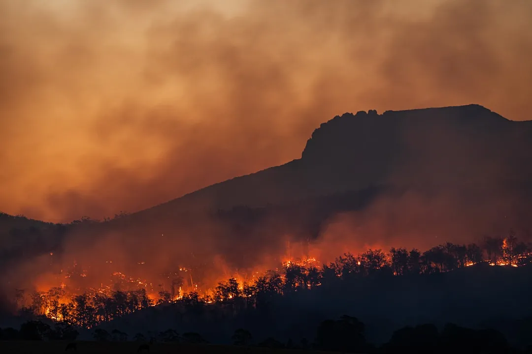
The Town of Payson is developing a Wildfire Structure Hardening Code to enhance wildfire resilience for new builds and major remodels. Living in a ponderosa pine forest means wildfire risk is a real factor in everyday planning. What has not changed, however, is the underlying draw: ponderosa pine forest, mild four-season climate, Banner Payson Medical Center as a regional anchor employer, and gated golf communities like Chaparral Pines and The Rim Club that continue to set the luxury ceiling.
Why This Shift Reflects Something Broader About Arizona Living
With roughly 60 percent of Arizona’s population concentrated around Phoenix, the heat constitutes a major public health concern that’s pushing residents to weigh their options more seriously than ever before. One notable change in 2026 is the increase in relocation to Phoenix suburbs and outer metro areas, a trend that Payson sits at the far, cooler edge of.
As the fifth-largest forest in the country, the Tonto National Forest is one of the most-visited urban forests in the United States, drawing about 5.8 million visitors annually, and a meaningful number of those visitors are quietly starting to ask what it would cost to stay. The road between Phoenix and Payson has always existed. What’s changed is why people are taking it.
Conclusion: Not Running Away, Just Choosing Differently
The story of Phoenix residents relocating to Payson isn’t really about fleeing. It’s about recalibrating. After years of extreme heat warnings, record electricity bills, and a city government that now formally treats summer as an emergency season, some households are doing quiet math about where life is actually livable on a daily basis.
Payson offers real tradeoffs, not a perfect escape. The infrastructure is thinner, the wildfire risk is present, and the winters bring a chill that Phoenix residents may not expect. Still, for families who want to fish a stocked creek on a Saturday morning without checking a heat advisory first, or retirees who prefer ponderosa pines to air conditioning reports, the calculus is shifting. Sometimes the most practical thing a person can do is simply go where the air is cooler and the creek is still running.
AI Disclaimer: This article was created with the assistance of AI tools and reviewed by a human editor.