
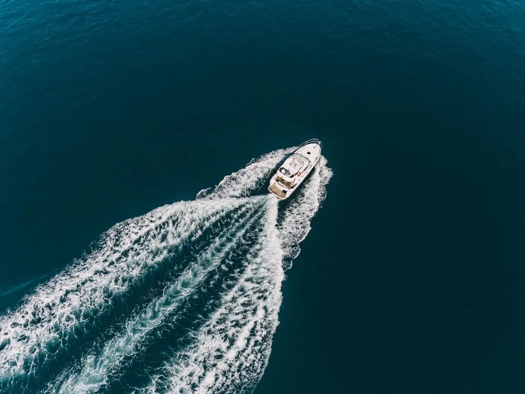

Most people picture Mississippi and think of the Delta, blues music, or the wide brown river itself. Very few picture turquoise water so clear you can see the bottom from the surface. Yet that’s exactly what’s waiting 12 miles off the coast, on a quiet barrier island that most Americans have never heard of.
Ship Island is a must-visit destination for those seeking the clearest waters in Mississippi, and it’s famous for its powdery white sand and turquoise waters that rival those of the Caribbean. It’s one of those places that makes you quietly wonder why you ever booked a flight to the tropics.
The Island That Sits Between Two Worlds
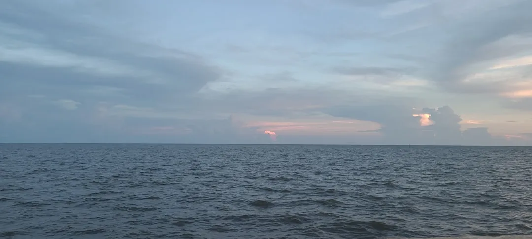
Ship Island separates the Mississippi Sound from the Gulf of Mexico, and the Sound between the island and the Mississippi coastline is relatively shallow, averaging only 12 to 15 feet deep.
Having the only deep-water harbor between Mobile Bay and the Mississippi River, the island served as a vital anchorage for ships bearing explorers, colonists, sailors, soldiers, defenders, and invaders.
The barrier islands of the Gulf Islands National Seashore create a buffer between the mainland and the Gulf of Mexico. That geographical positioning is part of why the water on Ship Island’s south side reads so blue and clean. The open Gulf does a lot of the filtering.
Why the Water Looks Like This

The water around the island is typically crystal clear, with visibility as much as 12 to 14 feet deep, making it an excellent destination for swimming and fishing.
The clarity isn’t accidental. As part of the Gulf Islands National Seashore, Ship Island’s natural beauty is protected by the National Park Service. That federal protection limits development and human disturbance, which directly benefits water quality.
According to the Mississippi Department of Environmental Quality, the Mississippi Sound receives flow from five major river systems that deposit sediment and organic matter, impacting water color and clarity. The MDEQ has stated these variations in water color are natural and don’t necessarily indicate pollution. Ship Island sits far enough out in the Gulf that it largely escapes this sediment influence.
How to Get There
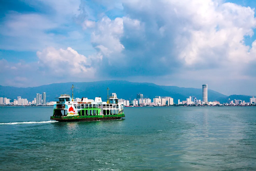
Despite being an island, Ship Island is relatively easy to access thanks to Ship Island Excursions, which offers the only public ferry service to and from the island. The island is about 11 miles from the state’s coast, so the boat ride takes about an hour.
Ship Island Excursions offers ferry services from Gulfport, turning the journey into a scenic, hour-long adventure on the water. The ride itself is part of the experience, with views of the open Gulf opening up as the Mississippi shoreline fades behind you.
Ship Island is also accessible by private or chartered boat, in addition to the privately owned ferry boat company running from Gulfport, Mississippi, 12 miles out to the island for a fee.
A Beach That Stays Remarkably Uncrowded
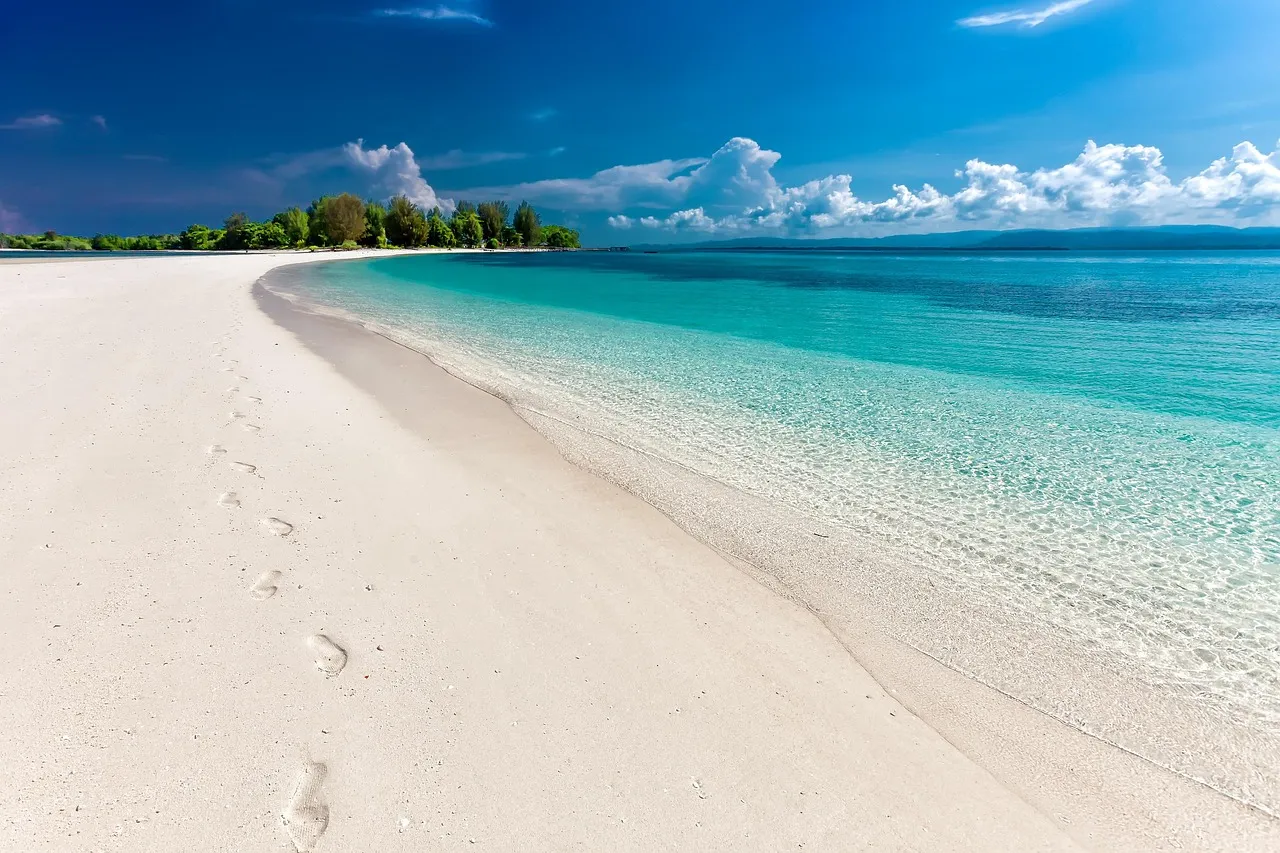
The island’s remote location means less foot traffic, which can lead to better shell finds and a more peaceful experience overall.
Once you arrive, you’ll discover pristine white sand and beautiful, shallow waters perfect for swimming and beachcombing. It’s an ideal beach destination near Gulfport for those seeking a more secluded and natural environment. You can spend the day relaxing, exploring the undeveloped barrier island, and enjoying a picnic lunch.
The ferry-only access model keeps the crowds naturally thin. There’s no parking lot sprawl, no condo towers, no beach bars. Just sand, water, and the occasional pelican.
Fort Massachusetts: History Carved Into Brick
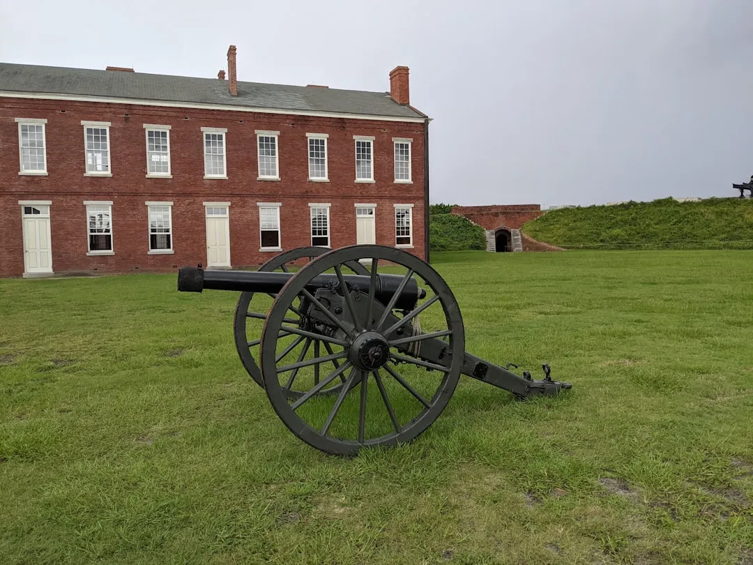
Ship Island isn’t only a beach destination. It carries a deep historical weight that most visitors find genuinely moving.
Located on Ship Island within the Gulf Islands National Seashore, Fort Massachusetts has a rich history dating back to the mid-19th century. The fort was built by the United States government between 1859 and 1866, and its construction was prompted by the need to fortify strategic coastal locations following the War of 1812. It was designed to defend the Gulf Coast against potential naval threats.
Ship Island was used as the staging area for the Union’s successful capture of New Orleans in the spring of 1862, and as many as 18,000 U.S. troops were stationed on the island at its peak. That number is striking for a place that feels so serene today.
Civil War Legacy and Living History
The French, Spanish, British, Confederate, and Union flags have all flown over Ship Island, giving it a layered past that very few small landmasses anywhere in America can claim.
There is a ranger-led discussion every Wednesday through Sunday at 10:15 am and 1:15 pm, where the ranger tells visitors about the island, the fort, its history, and more.
Fort Massachusetts also offers another presentation called “Twelve Miles to Freedom,” which takes place every Thursday at 11:30 am inside the fort and tells the story of eight local men who fought in the Civil War. Standing inside those thick brick walls while the Gulf shimmers beyond the ramparts is an experience that’s hard to describe and easy to remember.
Wildlife That Shares the Island With You
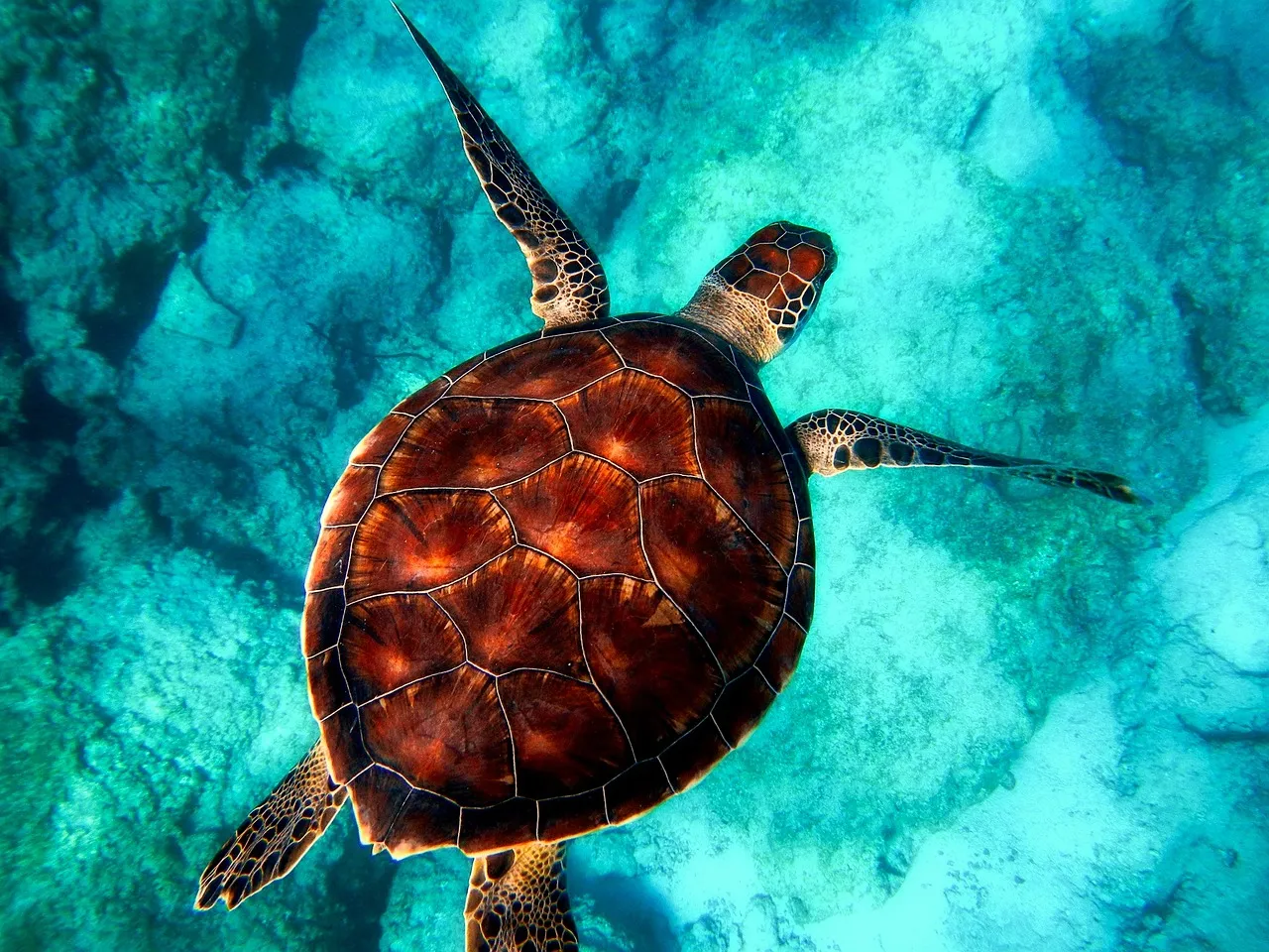
The natural ecosystem around Ship Island is as compelling as the history above the sand.
The Mississippi Coastal Improvement Program notes that five sea turtle species are found in the northern Gulf of Mexico, including loggerhead, green, Kemp’s ridley, leatherback, and hawksbill. Green, loggerhead, and Kemp’s ridley sea turtles are regularly documented in the waters surrounding the barrier islands of Gulf Islands National Seashore.
The barrier islands of the Gulf Islands National Seashore are a critical habitat for shorebirds and sea turtles, making the area an excellent location for birding and nature photography.
Along the island chain’s north shore are extensive seagrass meadows, including turtle grass, manatee grass, shoal grass, star grass, and wigeon grass. These seagrass beds provide food and habitats for a variety of aquatic fauna, including penaeid shrimp, blue crab, spotted seatrout, and other shellfish and finfish.
The Island’s Storm History and Resilience
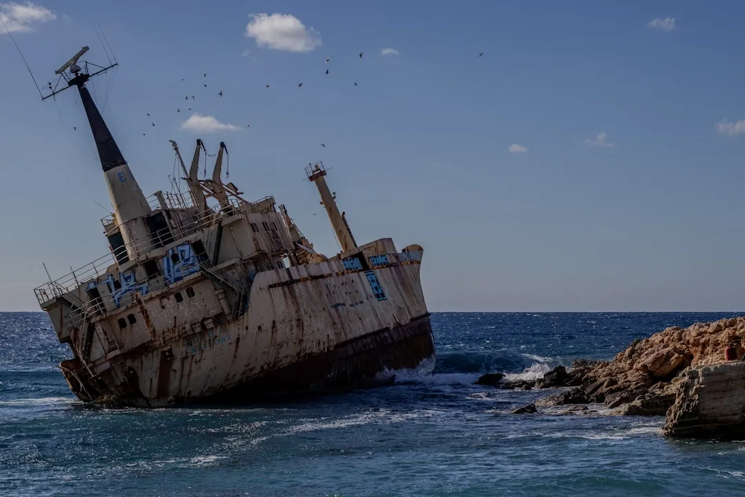
Ship Island’s story is also one of survival. Nature has tested it repeatedly.
Hurricane Camille split the island into two separate islands, West Ship Island and East Ship Island, in 1969. In early 2019, the US Army Corps of Engineers completed the first stage of a project rejoining the two islands and recreating one Ship Island.
In August 2005, Hurricane Katrina almost completely submerged East Ship Island. West Ship Island received most of the developed property damage as Katrina’s 30-foot tidal surge wiped out visitor and employee facilities on the island, as well as the island’s pier and boardwalk.
The fact that the island keeps coming back, and that the water around it remains this clear, says something about the resilience of well-protected natural coastlines.
What the Beach Monitoring Data Actually Says
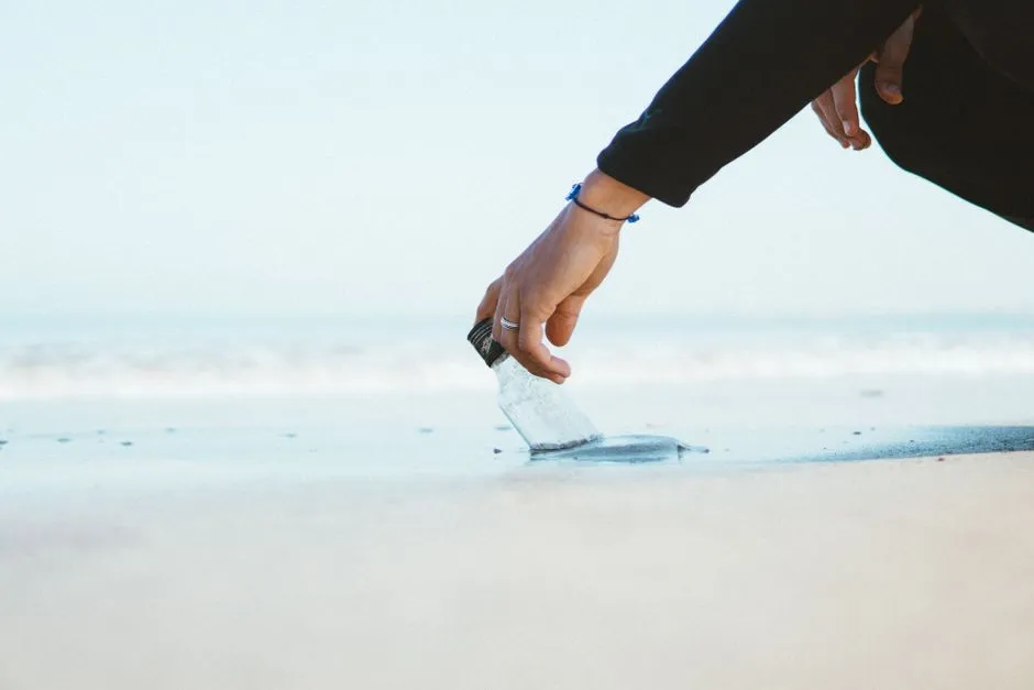
It’s worth being honest about water quality in context. Ship Island’s clarity is not the same story as every beach along the Mississippi Gulf Coast.
The Mississippi Beach Monitoring Program monitors a total of 21 beaches along over 40 miles of the Mississippi Gulf Coast shoreline for the presence of Enterococcus bacteria. Sampling and analysis of beach water quality is provided by the University of Southern Mississippi and Gulf Coast Research Laboratory.
A beach advisory is issued when bacteria numbers exceed a safe level and pose a risk to human health. When an advisory is issued, water contact should be avoided, including swimming, wading, fishing, jet skiing, and other recreational activities in the water. Checking the MDEQ’s beach monitoring portal before any visit is simply good practice, wherever you swim on the Gulf Coast.
Ship Island, sitting well offshore and away from river outflows, benefits from conditions that mainland beaches do not always share.
What to Bring and What to Expect
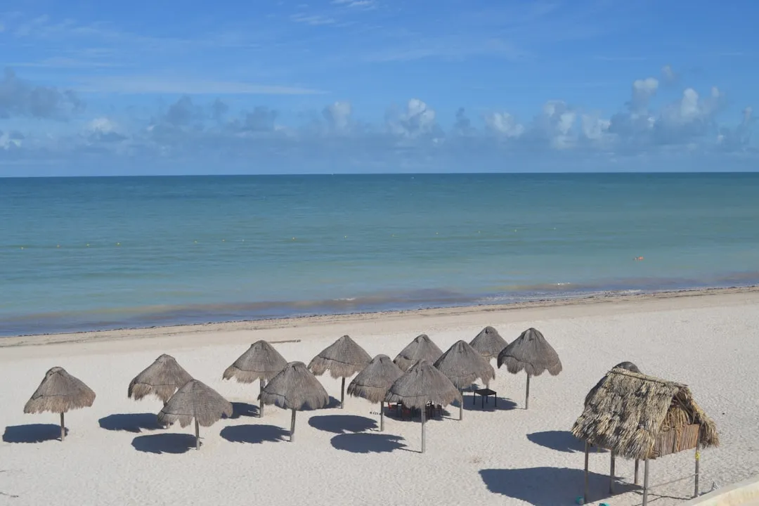
The island has some amenities for day trips, including restrooms, a concession store, and two pavilion areas. A historic fort adds interest for history buffs.
Aside from crystal clear water, the beach features a stretch of gorgeous white sand, a playground, a fishing pier, picnic tables, grills, and a volleyball court. The ferry ride does mean you’ll need to plan ahead, as there’s limited shade and the Gulf sun is strong. Sunscreen, water, and a good hat are not optional.
The clear gulf surf is perfect for swimming, snorkeling, and boogie boarding, and the shallow, calm nature of the water on the island’s north side makes it genuinely accessible for families with young children.
A Place Worth Keeping on Your Radar
According to Visit Mississippi, the area’s tourism industry generates $17.5 billion in economic impact, and a report from the state tourism organization shows that roughly 43 million visitors enjoy the Mississippi Gulf Coast’s amenities each year.
Yet Ship Island itself remains far less visited than its qualities deserve. The hour-long ferry ride filters out the casual crowd, leaving behind something rarer: a beach that still feels like a discovery.
Accessible only by boat, these islands offer rare encounters with undisturbed wilderness, windswept dunes, maritime forests, and nesting sea turtles, with no roads, buildings, or noise beyond wind and waves.
That combination of living history, protected ecology, and genuinely clear water makes Ship Island something most Gulf beaches simply can’t replicate. Some places earn their reputation quietly. This is one of them.
AI Disclaimer: This article was created with the assistance of AI tools and reviewed by a human editor.