
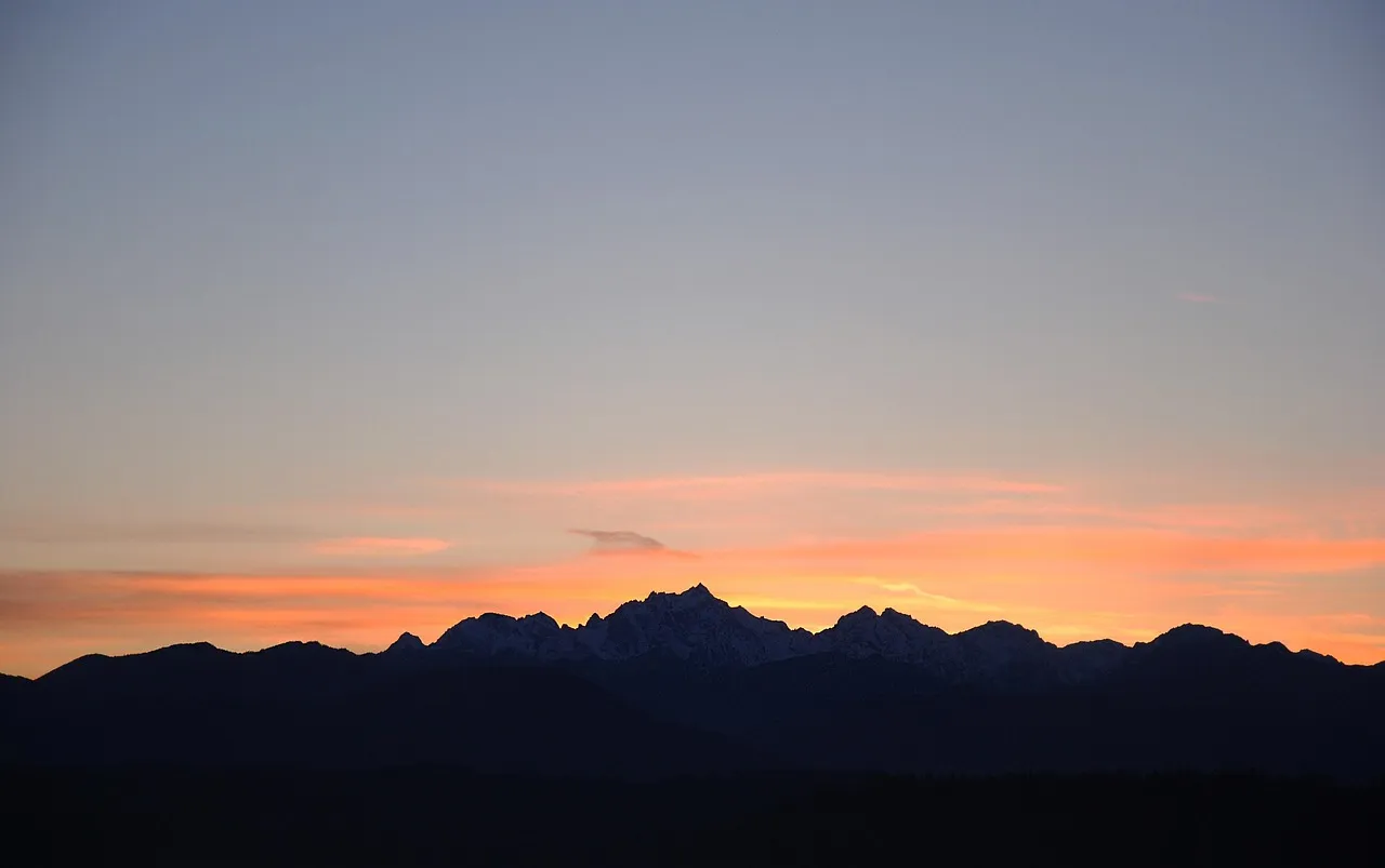

There’s a road in Washington State that genuinely earns the word “breathtaking.” Not in the loosely applied, travel-brochure sense, but in the literal sense of pulling over at an overlook and standing there quietly, not quite sure what to say. State Route 20, known as the North Cascades Highway, cuts through one of the most dramatic mountain landscapes on the continent. It has the jagged, vertical quality of something shaped over millions of years by ice and tectonic force – because it was.
The drive connects the foggy, forested valleys of western Washington to the dry, sun-washed Methow Valley on the east side of the Cascades, and those two worlds feel genuinely nothing alike. Between them lies a corridor of glaciers, turquoise lakes, towering granite spires, and cascading waterfalls that would feel excessive if the geology weren’t so earnestly real. This is not a highway you rush. It’s one you plan around.
The “American Alps”: What You’re Actually Driving Through
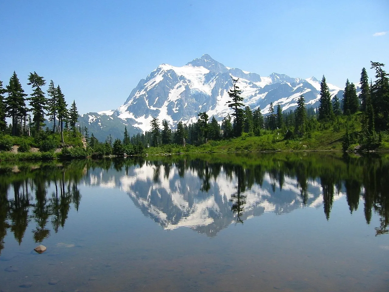
The North Cascades Highway passes over what is often called the “American Alps” for its rugged, snow-capped peaks and steep, forested valleys. The comparison is apt rather than boastful. The highway traverses a geologically young mountain range, with many of the peaks formed less than ten million years ago, a result of the ongoing tectonic collision between the Pacific and North American plates.
Spanning about 130 miles between Sedro-Woolley and Winthrop, it traverses some of the most dramatic terrain in the Pacific Northwest. The scale of the landscape doesn’t fully register until you’re inside it. The highway is surrounded by jagged peaks and valleys, waterfalls, and more than 300 glaciers within the North Cascades National Park, with several peaks rising well above 9,000 feet in elevation.
Elevation and Engineering: A Remarkable Road
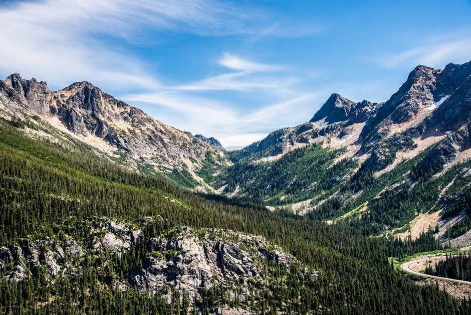
The North Cascades Highway is one of the highest paved roads in the Pacific Northwest, reaching an elevation of over 5,400 feet at the Washington Pass Overlook. Getting a road that high through terrain that unforgiving was no small undertaking. The highway’s construction in the late 1960s was an engineering marvel, with crews blasting through solid granite to create the winding, cliff-hugging roadway, a feat of civil engineering considered one of the most difficult highway projects ever completed in the United States.
State Route 20 is an important route for travelers that stretches across four Washington counties, including Skagit, Whatcom, Chelan and Okanogan counties, connecting Sedro-Woolley to Omak. To drive it is to understand why it took so long and so much effort to build. The mountain doesn’t make it easy.
Glaciers Everywhere – and Why That Matters Now
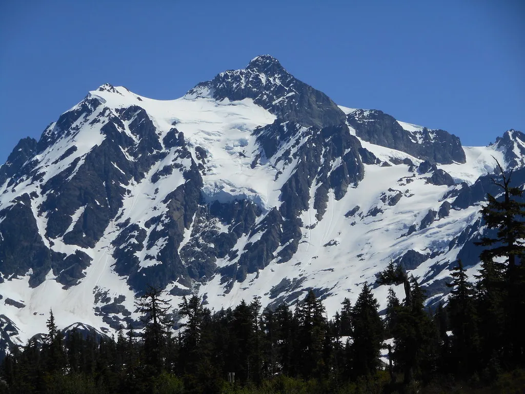
There are more glaciers at North Cascades National Park than anywhere else in the contiguous United States. That concentration is part of what makes the drive so visually extraordinary, with rivers of ancient ice draped across peaks at every turn. Glaciers including Neve Glacier and Inspiration Glacier can be spotted along the highway, as these icy rivers of snow and ice slowly carve away at the mountainsides, shaping the dramatic landscape.
The story of the North Cascades glaciers is also a sobering one. The data are conclusive: the glaciers of the North Cascades are receding, many with a predictable outcome of complete melting, and some have already disappeared, including the Lewis Glacier, which once sat closely above Highway 20. The waterfalls and icefalls of the North Cascades provide for lives and livelihoods of everything across the northern tier of Washington state, with the health of Puget Sound, salmon populations, orca populations, and human communities all intricately tied to the waters flowing off these mountains.
Diablo Lake: The Turquoise Jewel of Highway 20
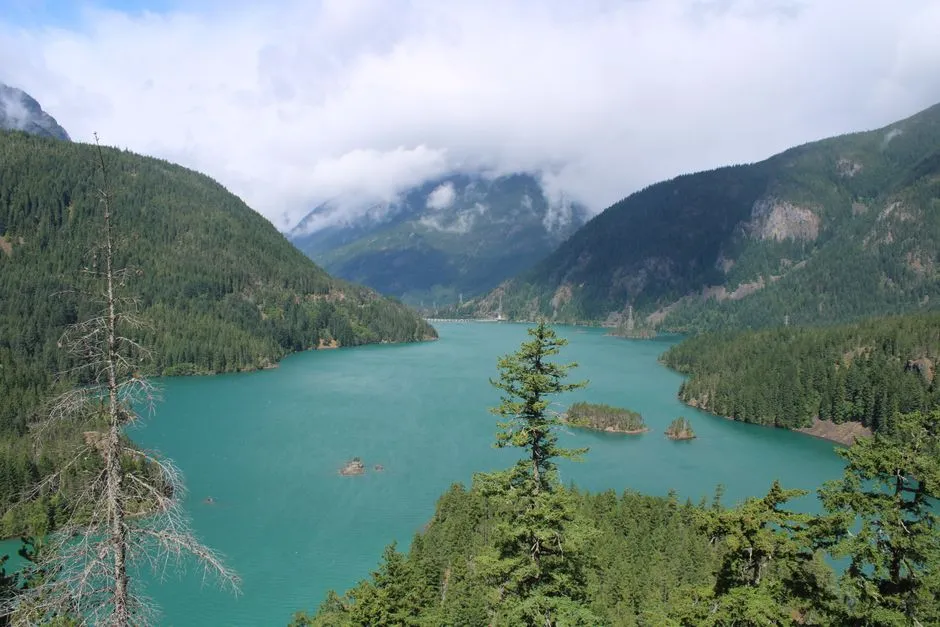
Diablo Lake Overlook is one of the most famous stops along the drive. The beautiful turquoise waters are the product of glacier-ground rock silt, carried down from the surrounding mountains by streams, with that silt reacting with light to give the lake its greenish-blue hue. The color is so vivid it looks implausible in photographs, and even more vivid in person.
Continuing onward and upward brings you to the brilliant turquoise-colored Ross and Diablo lakes, with views over these glacier-fed lakes reaching north to Canada and south into the most-glaciated valley in North America outside of Alaska. Diablo Lake Overlook is one of the most visited view areas on this stretch of the highway, and for good reason. It’s the kind of scene that makes even experienced travelers reach for a camera before they’ve fully parked.
Washington Pass Overlook: The High Point of the Drive
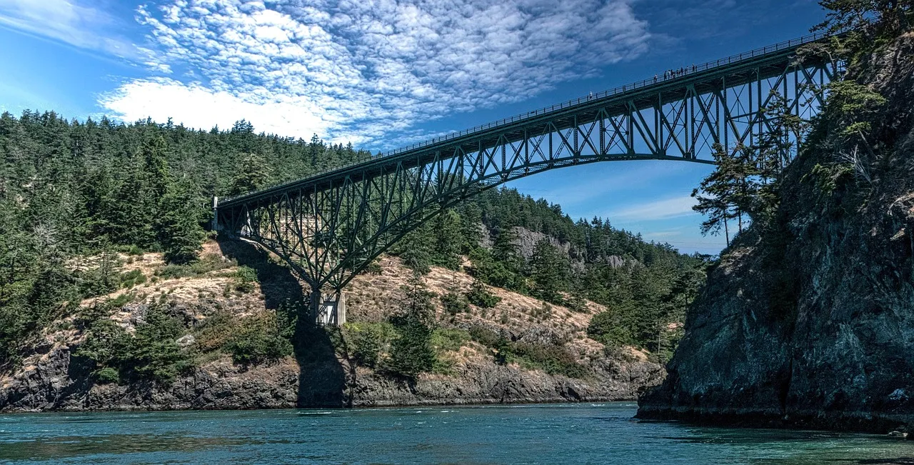
The North Cascades Highway reaches an elevation of 5,477 feet at Washington Pass, with this breathtaking viewpoint offering panoramic vistas of jagged, snow-capped peaks. At this altitude, the air is noticeably thinner and the silence is real. The overlook is technically located outside of the park, but it provides one of the most scenic and unobstructed views available from Highway 20.
Marked by the massive bulk of Liberty Bell and Early Winters Spires, SR 20, the North Cascades Scenic Highway, is a designated byway located on the Cascade Loop. Those twin spires frame the overlook in a way that feels almost staged. Washington Pass Overlook is an obligatory stop on the North Cascades Highway – and once you’re standing there, it’s hard to disagree.
Wildlife Along the Road: More Than Just Scenery
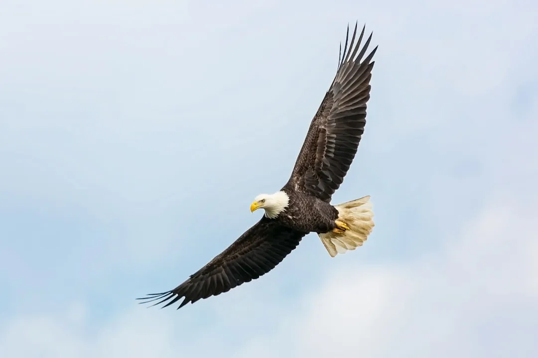
The North Cascades complex encompasses more than 300 glaciers and dozens of rivers and lakes, with nearly 400 miles of trails winding through dense forests and into the high alpine country, where wildlife abounds, from readily seen black bears, deer, and bald eagles to pikas, marmots, and wolverines at higher elevations. The highway runs through the heart of it, and animals don’t always wait for hikers to find them.
Salmon migrate up the Skagit River every autumn to spawn, drawing large numbers of bald eagles that feed on their carcasses and perch in trees along the riverbanks from around late December through early February. The Skagit Wild and Scenic River System is home to five species of Pacific salmon as well as two species of trout, with nearly 300 species of wildlife populating the area, including black-tailed deer, elk, black bears, bald eagles, great blue herons, and ospreys. Slow down through river sections. The wildlife is genuinely present.
The Seasonal Closure: When and Why the Highway Shuts Down
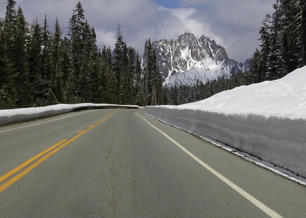
No article about this highway is complete without a frank word about its seasonal nature. The Washington State Department of Transportation closes the SR 20 North Cascades Highway for the winter due to conditions and avalanche risk, with snow loads in avalanche pathways and snow showers in the North Cascades determining when crews close for the safety of the traveling public. The most recent winter closure began December 4, 2025, per WSDOT records.
The North Cascades Highway fully reopened Sunday, June 14, 2026, following a more difficult-than-usual winter. The second emergency contract that began work May 13, 2026, focused on rebuilding embankment, restoring more than 1,000 feet of undermined and collapsed roadway and shoulder, and repairing damaged drainage, guardrail, and concrete barrier along a six-mile section of SR 20 between the Canyon Creek Trailhead and Granite Creek vicinities. It’s a reminder that this road earns its reputation in every season.
The Drive Itself: Practical Facts for Planning
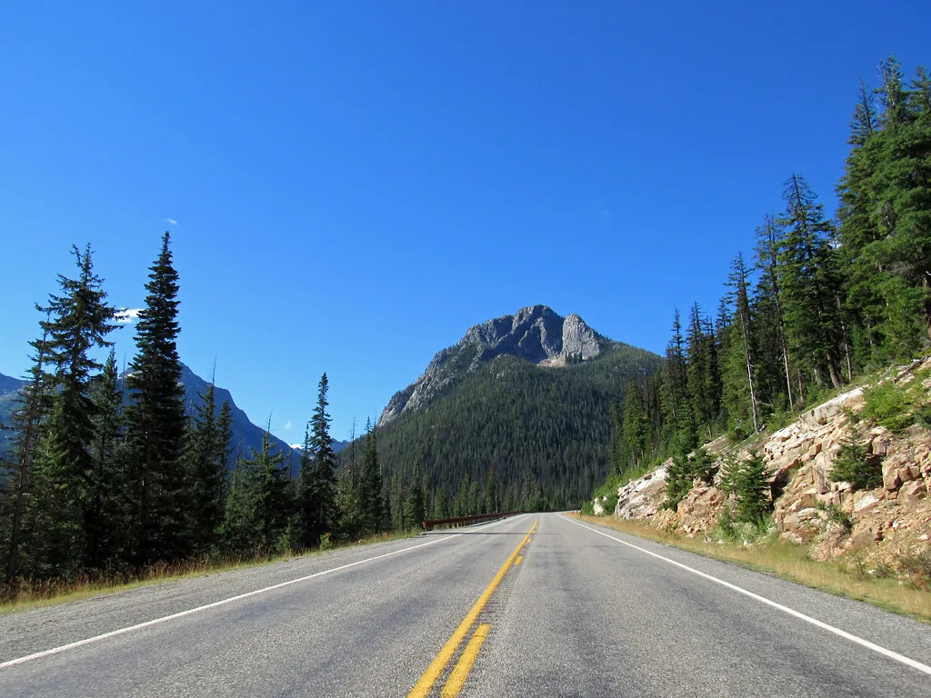
Total driving time is about two and a half hours without stops from Marblemount to Mazama, though plan four to five hours if you’re stopping at viewpoints and doing short walks. That four-to-five-hour window is the realistic minimum for anyone who wants to actually experience the drive rather than simply complete it. The best time to visit the North Cascades is July through September, when Highway 20 is fully open and most trails are snow-free.
There are no convenience stores on Highway 20, and mountain weather changes fast. A sunny morning can turn into afternoon thunderstorms, and October mornings at the pass can drop below freezing even if the valley is 50°F. Stock up before you arrive, carry layers, and check WSDOT conditions regardless of the season. A nice perk: North Cascades National Park has no entry fee, a rarity among national parks.
Winthrop and the Methow Valley: The Eastern Reward

Once you descend through the pass, the landscape changes completely. The forest gives way to open ranch land and a drier, sunnier climate. The drive continues on to Winthrop, known for the whimsical American Old West design of its town buildings, where the climate is remarkably drier and hotter than the first section of the drive, and the town serves as a hub for year-round recreation including horseback riding, kayaking, rafting, fly-fishing, and in winter, prime cross-country skiing.
The Methow Valley, part of the Cascade Loop, is considered the “Sun Corridor” of Washington, receiving over 300 days of sunshine annually, making it a prime destination for outdoor enthusiasts. It’s a genuine contrast to the cloud-draped western slopes. Communities like Winthrop and Twisp east of the Cascades have come to rely heavily on tourism, and the alternative routes when the highway is closed extend driving time by hours from the west side of the mountains, which speaks to how central this road is to the region’s economic and social life.
One of the Least Visited National Parks: A Quiet Gift
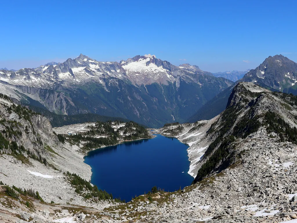
North Cascades is one of the least visited parks in the national park system, with only around 47,000 visitors in 2025, making it one of the least visited national parks in the United States, though for those who venture here, it is a peaceful, beautiful experience. That relative quiet is one of its most genuine gifts. You won’t find the gridlock of more famous parks at most viewpoints along Highway 20.
Despite its manifold charms, the North Cascades is one of the least visited national parks in the United States, with minimal infrastructure, and State Route 20 bisects the complex following the Skagit River and other waterways. Though within easy reach of two of the region’s largest urban areas, Seattle and Vancouver, North Cascades National Park is truly a world apart, with gorgeous views aplenty to delight casual visitors, but it requires time and effort to get to know in depth.
There’s something quietly significant about a highway this spectacular remaining this unhurried. The North Cascades Highway isn’t undiscovered – it’s just honestly committed to rewarding the people who make the effort. The road opened again in June 2026 after emergency repairs following a difficult winter. This summer, it’s ready. The question is whether you are.
AI Disclaimer: This article was created with the assistance of AI tools and reviewed by a human editor.