
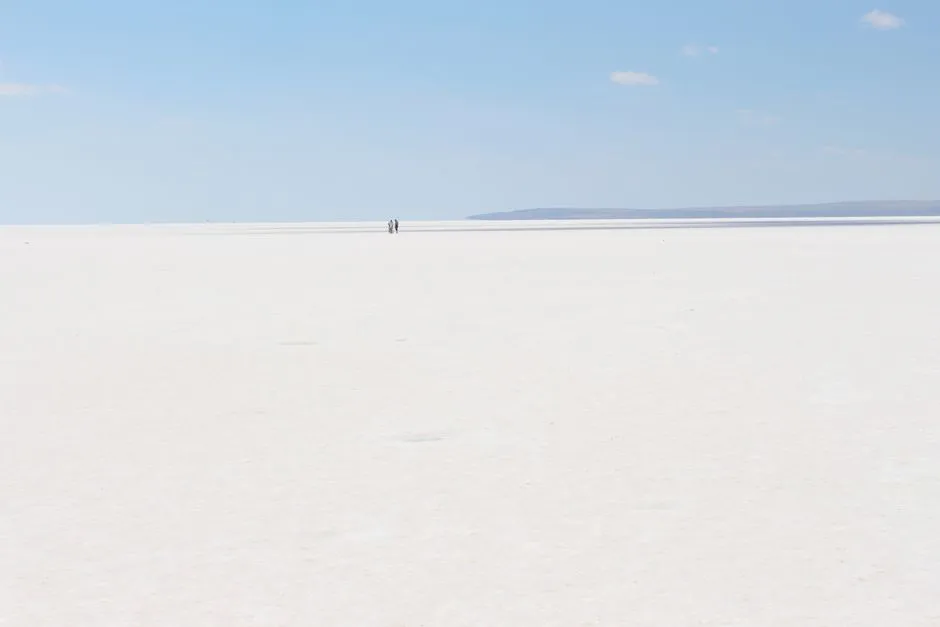

Ask most travelers where to find a dazzling white salt flat and they will probably mention Bolivia’s Salar de Uyuni. It is a fair answer, but it overlooks something closer to home. North America holds its own collection of salt pans, playas, and ancient lakebeds, each shaped by thousands of years of evaporation, tectonic shifting, and mineral deposits.
Some are famous for land speed records, others for rare crystals or migratory birds. Together, they form a quieter, less discussed chapter of the continent’s natural history.
Bonneville Salt Flats, Utah
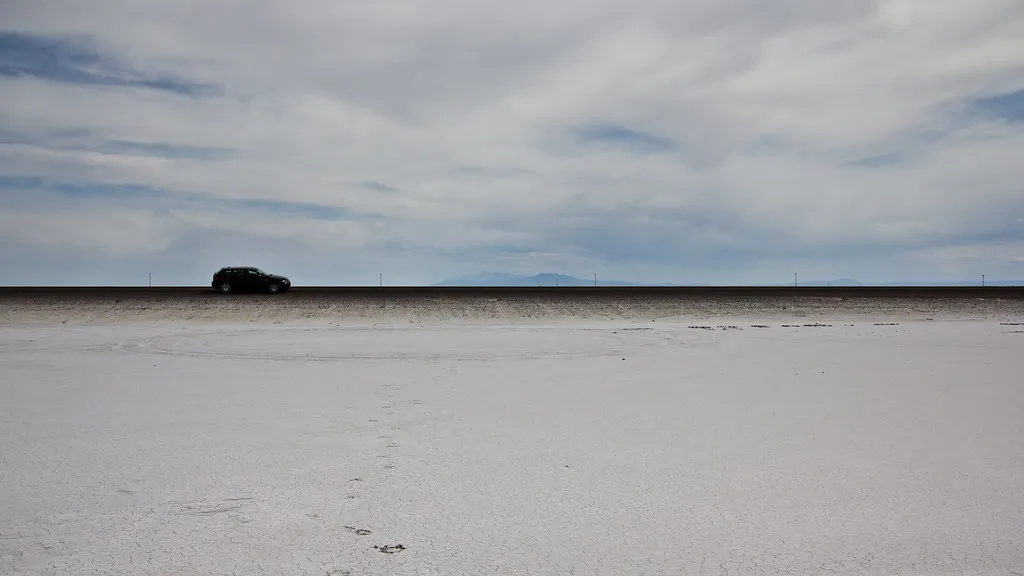
Located about 120 miles west of Salt Lake City near the Nevada border, the Bonneville Salt Flats are about 12 miles long and 5 miles wide, comprised mostly of sodium chloride, sitting as a 30,000 acre expanse of hard, white salt crust on the western edge of the Great Salt Lake Basin. They are a remnant of ancient Lake Bonneville, and since 1914 this landscape has served as the racing grounds for generations of land speed racers from around the world, with the first official Speed Week held there in 1949.
The flats are not static. While still quite vast, they have shrunk to a third of their former size, and the salt thickness has diminished due to several factors, forcing racers to shorten their courses over the years. Recent reporting notes that the Bonneville Salt Flats currently cover 35 square miles, though a drying West and human disruption have caused the salt crust’s size and volume to rapidly decline. A coalition involving the BLM, mining operators, and the nonprofit Save the Salt has spent years pumping brine back onto the flats each spring in an attempt to slow the loss, though scientists and racers alike acknowledge the outcome is still uncertain.
Badwater Basin, Death Valley National Park, California
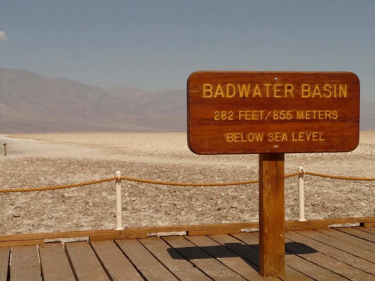
Badwater Basin holds a title that surprises many visitors. It is an endorheic basin in Death Valley National Park noted as the lowest point in North America and the United States, at 282 feet below sea level. The salt crust here is strikingly pure, made up of 95 percent table salt, ranging from 3 to 60 inches thick where it coats the basin floor.
Rain rarely lingers long in this part of the desert. The average rainfall of 1.9 inches is overwhelmed by a 150 inch annual evaporation rate, meaning any temporary lake vanishes within months. What remains are the famous hexagonal salt polygons, formed as repeated freeze-thaw and evaporation cycles gradually push the thin salt crust into hexagonal shapes, best photographed early or late in the day when the heat is more forgiving.
Devils Golf Course, Death Valley National Park, California
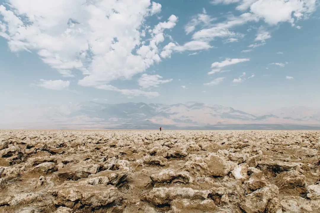
A short drive from Badwater sits a very different kind of salt terrain. Devils Golf Course is a jagged field of rock salt pinnacles, part of the same ancient Lake Manly basin, where crystallized salt has been sculpted by wind and the occasional flash flood into sharp, uneven spires. Walking here is genuinely difficult, which is part of the appeal for photographers seeking texture rather than a flat white plain.
The formation gets its name from an old park guidebook observation that only the devil could enjoy a round of golf on ground this rough. It is one of the few spots in Death Valley where salt behaves less like a smooth mirror and more like a sculpture garden, a reminder that not every salt flat looks the same.
Salt Plains National Wildlife Refuge, Oklahoma
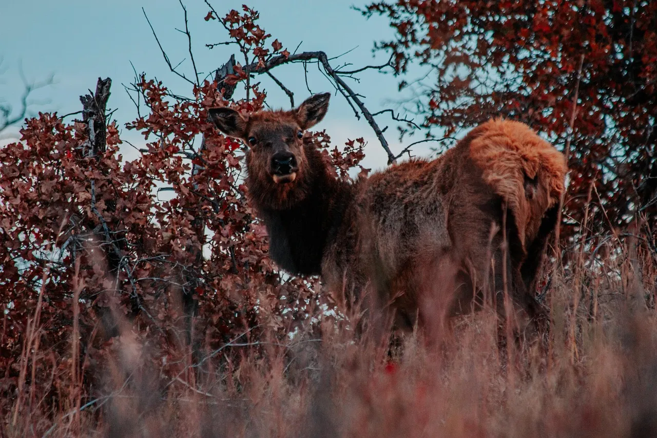
Tucked into north-central Oklahoma, this refuge covers 32,197 acres made up of wetlands, prairie, and about 12,000 acres of salt flats. What makes it genuinely unusual is what lies just beneath the surface. Visitors can dig for hourglass selenite crystals, and the salt flats are the only place in the world where you can dig for hourglass selenite crystals.
The digging season runs seasonally, and visitors can view the 11,200 acre salt flats and collect the state crystal free during the Crystal Digging Season, open every day from sunrise to sunset from April 1 through October 15. The refuge is far from just a novelty stop. It also shelters serious birdlife, since thousands of Sandhill Cranes, ducks, shorebirds, and some endangered Whooping Cranes use this important bird area.
Alvord Desert, Oregon
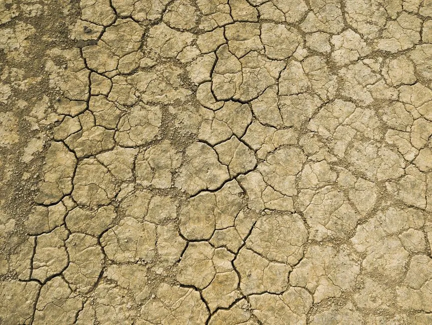
In the rain shadow of Steens Mountain, southeastern Oregon holds a dry lake bed that rivals Bonneville in scale. The Alvord Desert is a 12 by 7 mile dry lake bed that averages just 7 inches of rain a year, sitting at roughly 4,000 feet elevation. Tens of thousands of years ago the picture looked very different, since a lake almost 200 feet deep once covered the Alvord Desert and extended southward into Nevada.
Land speed history was made here too. The women’s world land speed record was set in 1976 by Kitty O’Neil at 512 miles per hour, later surpassed in 2019 by Jessi Combs at 522.783 miles per hour, though Combs died in the crash that followed. Today the playa draws campers, land sailors, and stargazers, though the BLM warns that even a small patch of damp clay can turn a visit into a costly tow, since the playa is made of fine clay sediments that become incredibly slick when damp, and what looks like a harmless puddle can quickly turn into thick, sticky mud that traps vehicles with little warning.
Guerrero Negro Salt Works, Baja California Sur, Mexico
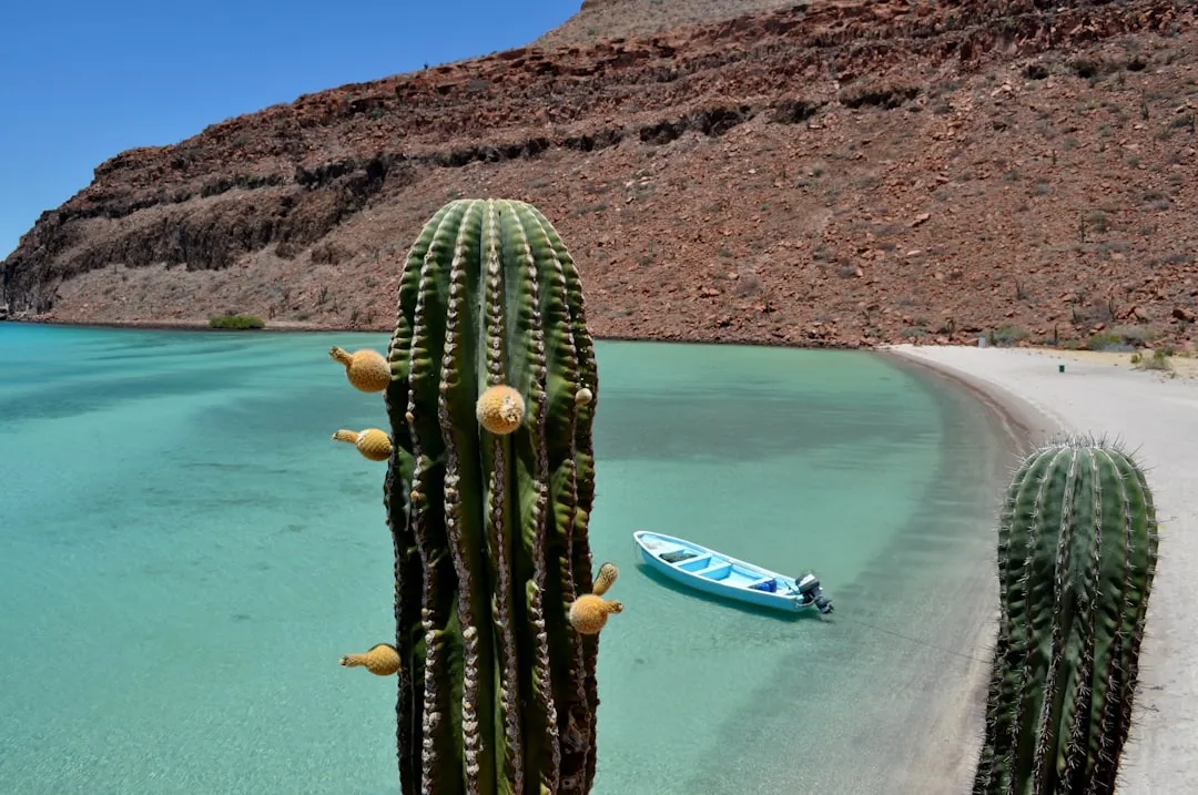
Crossing into Mexico, the salt flats around Guerrero Negro tell an industrial story as much as a natural one. Built around the Ojo de Liebre coastal lagoon starting in the 1950s, the operation grew into what is widely regarded as the largest salt works facility in the world. The evaporation ponds are enormous, covering 33,000 hectares of the Ojo de Liebre coastal lagoon and relying on nothing more than seawater, sun, and wind.
Ownership has shifted over the decades, and most recently in February 2024 the Mexican government paid 1,500 million pesos to buy the remaining 49 percent ownership from Mitsubishi, ending a long joint venture. The surrounding lagoon is far more than an industrial site, since it lies within the Vizcaíno Biosphere Reserve UNESCO World Heritage Site and is a Ramsar wetlands site, drawing thousands of gray whales each winter to calve in its sheltered waters.
Lake Lucero, White Sands National Park, New Mexico
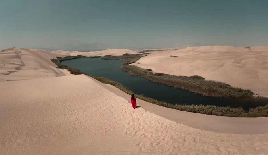
White Sands is best known for its rolling gypsum dunes, but their true origin lies at Lake Lucero, a dry lakebed tucked into the western edge of the park. This is where selenite crystals form and eventually break down into the fine gypsum sand that makes the dunes so distinctive. Unlike the main dune field, Lake Lucero is not open for casual walk-in visits.
Access is limited to a handful of ranger-guided tours scheduled each year, typically timed around dry winter conditions when the lakebed’s crystal formations are most visible. It is a quieter, less visited counterpart to the dunes, appealing to visitors who want to understand where all that brilliant white sand actually comes from.
Soda Lake, Carrizo Plain National Monument, California
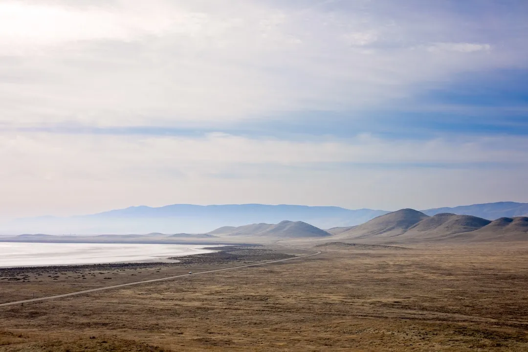
Soda Lake sits inside the Carrizo Plain National Monument, a stretch of protected grassland straddling the San Andreas Fault in central California. It is a seasonal alkali lake, filling with winter rains and drying into a cracked, pale flat by summer. The cycle repeats each year, and the timing of a visit changes the experience considerably.
When flooded, the lake becomes a haven for migratory shorebirds passing through the Pacific Flyway. When dry, it flattens into a stark white expanse that photographers often seek out for its simplicity, framed by the rolling hills of the monument in the distance.
Saline Valley, Death Valley National Park, California
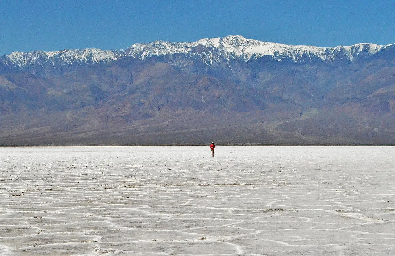
Saline Valley is one of the more remote corners of Death Valley National Park, reachable only by rough dirt roads that keep visitor numbers low. Its salt flat sits at the valley floor, a legacy of an ancient lake that once filled the basin before evaporating away over thousands of years. Nearby warm springs have made the valley a low key destination for those seeking solitude rather than crowds.
What sets Saline Valley apart historically is the aerial tramway once built to haul salt over the Inyo Mountains to the Owens Valley, an engineering effort considered remarkable for its era. Portions of that old tramway still stand today, a quiet reminder of how much labor once went into extracting salt from places this isolated.
Bristol Dry Lake, Mojave Desert, California
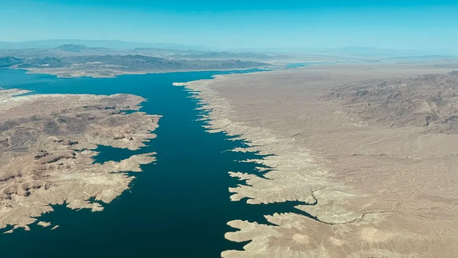
Along the old Route 66 corridor near Amboy, Bristol Dry Lake stretches out in a distinctive checkerboard pattern, visible clearly from the air and from passing vehicles on the ground. The pattern comes from a network of evaporation ponds used to extract calcium chloride and other minerals, an industry that has operated in this stretch of the Mojave for decades. It is less a scenic overlook than a working landscape, but it offers a different lens on how salt flats get used in North America.
For road trip travelers following historic Route 66, Bristol Dry Lake is often a passing curiosity rather than a planned stop. Still, pulling over for even a few minutes reveals a landscape shaped as much by industry as by geology, standing in contrast to the untouched flats found elsewhere on this list.
Planning a Visit
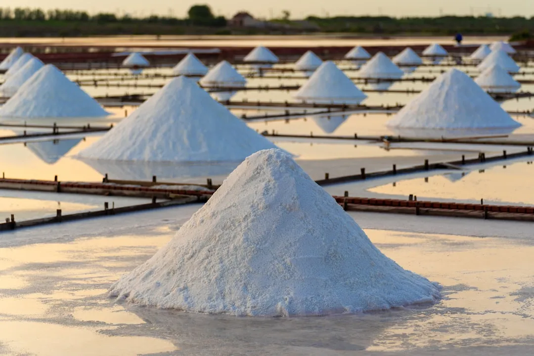
These ten locations span three countries, several climates, and very different levels of accessibility. Some, like Bonneville and Badwater, welcome large numbers of visitors with paved parking and interpretive signage. Others, like Lake Lucero or Saline Valley, require planning, permits, or a genuine willingness to drive down a rough road.
What unites them is a shared origin story written in evaporation and time, and a shared fragility that deserves respect. Several of these flats, Bonneville most notably, are visibly changing due to a mix of climate patterns and human activity, which makes visiting them thoughtfully, and leaving them undisturbed, more meaningful than ever. North America’s salt flats do not need to imitate Bolivia’s famous mirror to be worth the trip. They simply need to be seen for what they already are.
AI Disclaimer: This article was created with the assistance of AI tools and reviewed by a human editor.