

Off the rugged coastline of Washington, Oregon, and southern British Columbia, the seafloor drops away into a landscape most people never think about. Rockfish glide through canyon walls draped in cold-water coral, methane bubbles rise from cracks in ancient mudstone, and currents haul nutrients from the deep sea up onto the continental shelf. These are the submarine, and they’ve quietly become one of the more interesting frontiers in ocean science over the past few years.
A Margin Carved by Eleven Major Canyon Systems
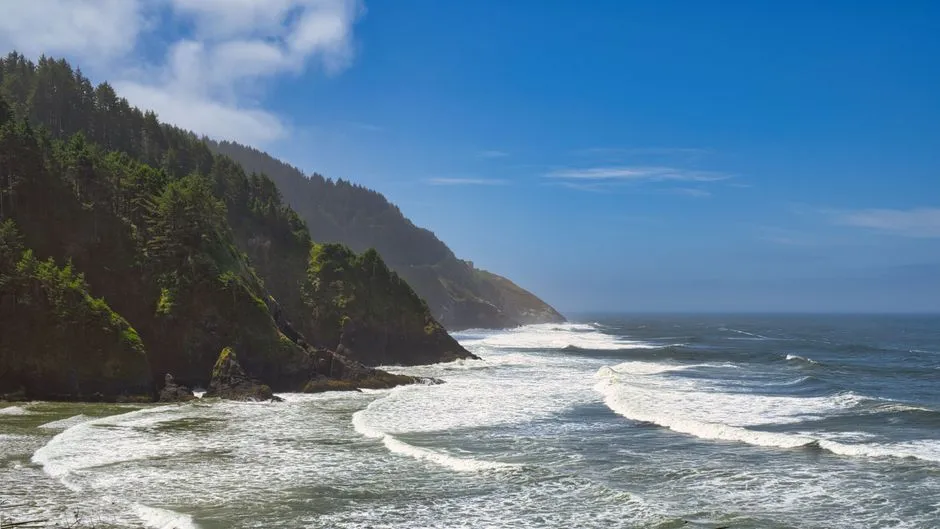
The seafloor off Washington and Oregon, known geologically as the Cascadia Margin, is not a smooth slope. The regional setting is the northern Cascadia Margin, where morphology is characterized by a 40 km wide continental shelf, steep continental slope, and abyssal trench which has been infilled by Plio-Pleistocene sedimentation. Research published in 2025 confirms that the Cascadia Margin contains eleven major canyon systems which fit the Pleistocene-Holocene timeframe of incision and infill, based on decades of seismic surveys and multibeam mapping. That’s a remarkable amount of underwater topography packed into a relatively narrow stretch of coast, and each canyon has its own personality, sediment history, and ecological role.
Astoria Canyon and the Columbia River Connection
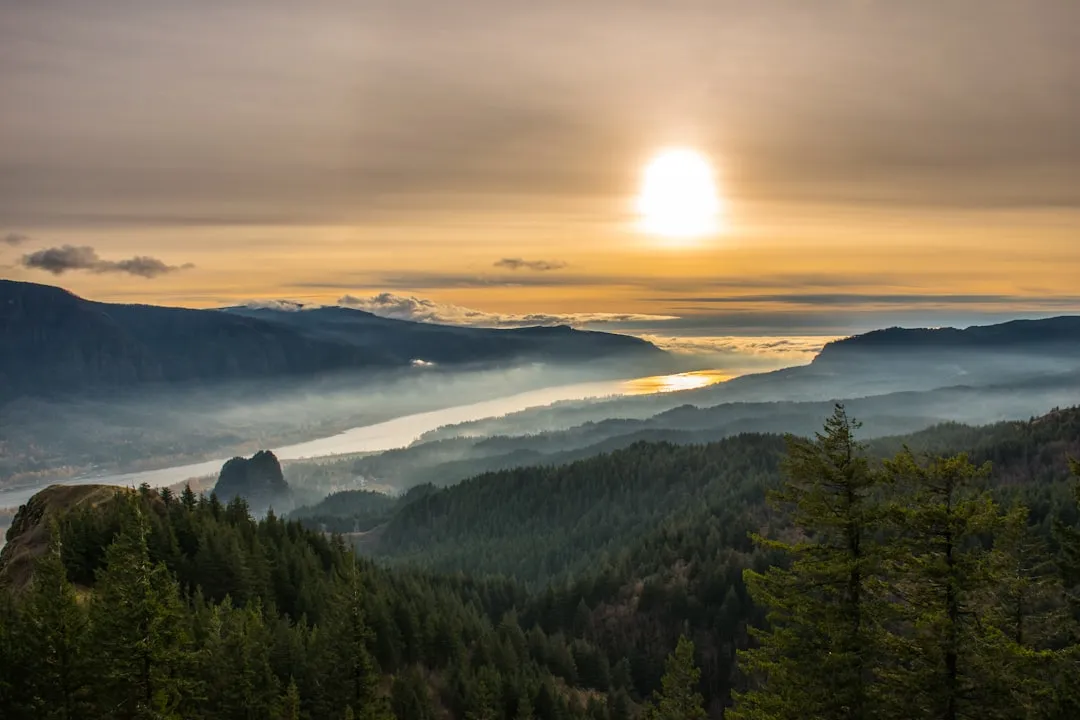
Just off the mouth of the Columbia River sits Astoria Canyon, one of the most studied features on this entire coastline. A 2025 study in Marine Geology notes something counterintuitive about canyons like this one: the majority of submarine canyons on Earth today do not directly intersect littoral or fluvial sediment sources, yet these systems are rarely studied, making Astoria’s direct link to a major river system scientifically valuable. Decades of prior work, funded partly through Oregon State University and NOAA’s Northwest Fisheries Science Center, has documented how sediment, nutrients, and organic material funnel through this canyon on their way to the deep sea. It functions almost like a chute, carrying material shed from one of the largest rivers on the West Coast straight down into abyssal depths.
Quinault Canyon, the Deepest of the Local Trio
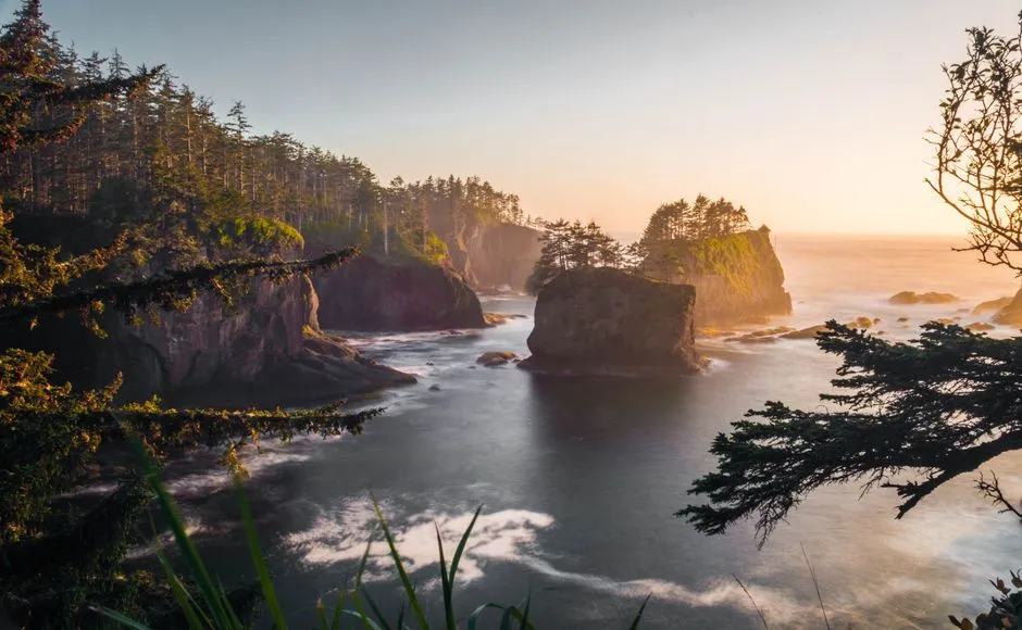
Off the Olympic Peninsula, Quinault Canyon stands out simply because of its scale. Of local submarine canyons, Quinault Canyon is deepest, with a maximum depth of 1,477 metres (4,846 ft). It also carries a long geologic memory. Both the 1980 eruption of Mount Saint Helens and the eruption of Mount Mazama in about 5677 BC left turbidites in Quinault Canyon, meaning the canyon floor still holds physical evidence of volcanic events thousands of years apart. On a more everyday basis, Quinault Canyon has acted as a funnel for north- and northwestward-moving sediment along Washington’s continental shelf, with silt and clay originating from the Columbia River moving down the canyon, tying it back to the same river system that shapes Astoria Canyon further south.
A Canyon Within Tribal Treaty Waters
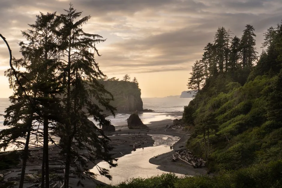
Quinault Canyon isn’t just a geological feature, it sits within waters of deep cultural and legal significance. Quinault Canyon lies partially within sanctuary boundaries and within the protected harvest areas for the Quinault Indian Nation, a sovereign tribal government with reserved rights to marine areas. Expeditions here have been designed with that relationship in mind, involving the Quinault Indian Nation directly as research partners rather than as an afterthought. Research partners for expeditions in this region have included NOAA Olympic Coast National Marine Sanctuary, NOAA Northwest Fisheries Science Center, the Quinault Indian Nation, and the University of Rhode Island. One stated goal of that collaborative work has been to map habitats that support many of the Quinault Nation’s treaty fisheries, sample for harmful algal blooms, map the ocean floor, check oxygen levels, and investigate ocean acidification.
Thousands of Methane Seeps Along the Margin
One of the more startling discoveries of the past decade is just how many methane seeps riddle this stretch of seafloor. Expedition reports describe more than 2,000 methane seep and hydrate locations identified in this region over the past decade, many of them clustered near canyon walls and shelf breaks. Earlier surveys had already turned up hundreds of methane seeps found along the Washington and Oregon shelf break during a 2016 Nautilus expedition, and later work built directly on those findings. Scientists studying the broader picture note that seafloor methane seeps are a critical component of the marine carbon cycle, emitting vast amounts of methane, a strong greenhouse gas, and fueling productive habitats.
Microbial Life Thriving at the Seeps
A 2023 peer-reviewed study dug into the microscopic side of this story, sampling sediment directly from two of the region’s canyons. Researchers collected sediment cores from six seep and non-seep locations from Grays and Quinault Canyons off Washington State, along with one non-seep site off the coast of Oregon, to quantify the scale of seep influence on biodiversity. The findings reinforce a broader pattern seen at cold seeps worldwide, that methane seeps are highly abundant marine habitats that contribute sources of chemosynthetic primary production to marine ecosystems. In plain terms, entire food webs can bloom around these seep sites, built on chemistry rather than sunlight, tucked into canyon walls that most of us will never see.
Barkley Canyon and a Decade and a Half of Wired Ocean Watching
North of the border, off Vancouver Island, Barkley Canyon has become something of a living laboratory thanks to an unusual piece of infrastructure. Since its installation in 2009, Ocean Networks Canada’s offshore cabled observatory has made it possible to study Barkley Canyon’s ecosystem in great detail, feeding a continuous stream of data to researchers on land. That network provides researchers with access to real-time data of benthic marine life and the main oceanographic processes governing their distribution and biodiversity. One striking discovery from this long-term monitoring involved large zooplankton species from the genus Neocalanus migrating as deep as one kilometer into the canyon to complete their reproductive cycle, a behavior that matters for how carbon moves from surface waters into the deep sea.
Cold Seeps and Oxygen Minimum Zones in the Same Canyon
Barkley Canyon has also served as a testbed for tracking how low-oxygen conditions interact with seafloor life. One study used a benthic crawler connected to the NEPTUNE cabled infrastructure operated by Ocean Networks Canada to monitor community changes across 60 square meters of a cold-seep area of Barkley Canyon, at roughly 890 meters depth within an Oxygen Minimum Zone. That kind of long-term, high-frequency monitoring, with transects run every few hours over more than a year, is rare in deep-sea science generally. It matters because, as researchers note more broadly, although canyons may have an increased diversity and abundance in fauna when compared to adjacent continental slopes, oxygen minimum zones can prevent colonization by fauna less tolerant to low oxygen concentrations, hence reducing the benefits of the locally elevated food availability.
The Olympic Coast’s Three Canyon Neighbors
Quinault Canyon doesn’t sit alone. Within the Olympic Coast National Marine Sanctuary, it forms a trio with Quileute Canyon and Juan de Fuca Canyon, and expeditions have repeatedly targeted all three together. Nautilus expeditions have explored and characterized seafloor resources and features of the Olympic Coast National Marine Sanctuary, particularly within these three prominent submarine canyons. The sanctuary itself is enormous in scope, encompassing nearly 8,250 square kilometers of coastal and ocean habitats, though the sanctuary mostly encompasses continental shelf habitats in water depths less than 200 meters, with several deeper submarine canyon features extending to depths of 1,500 meters, the deepest of which is Quinault Canyon. Repeated visits to Juan de Fuca Canyon specifically have aimed to revisit known deep sea coral locations from previous surveys to track the condition of benthic communities over time.
Earthquakes, Turbidites, and a Deep-Sea Record of Cascadia’s Past
Perhaps the most sobering discovery to come out of recent canyon research involves earthquakes. A 2024 to 2025 study, later published in Earth and Planetary Science Letters, examined how seismic shaking along the Cascadia subduction zone physically reshapes these canyons. Turbidites and other sedimentary structures emplaced by sediment transport events punctuate hemipelagic Holocene stratigraphy from submarine canyons and channels throughout the Cascadia Margin. Researchers found that some of these deposits have been attributed to large magnitude 7 to 9 subduction zone earthquakes, meaning the canyon floors themselves preserve a layered record of the region’s most powerful geologic events. It’s a humbling thought: every so often, a major Cascadia earthquake essentially flushes these canyons, sending sediment and organic carbon cascading into the deep sea in a single dramatic pulse, then the slow work of accumulation begins all over again.
Closing Thoughts
What stands out most about the Pacific Northwest’s deep-water canyons is how much remains genuinely unknown, even after a century of study. Researchers themselves acknowledge that while nearly 10,000 submarine canyons have been mapped worldwide to date, only a small fraction of them have been studied by the scientific community. The canyons off Washington and Oregon happen to be some of the better-documented examples on the planet, thanks to sustained partnerships between NOAA, Oregon State University, Ocean Networks Canada, and the Quinault Indian Nation, yet each new expedition still turns up something unexpected, whether it’s a coral bed no one had mapped or a seep no one had counted. That balance of familiarity and mystery is probably what makes this stretch of seafloor worth returning to, again and again, one careful ROV dive at a time.
AI Disclaimer: This article was created with the assistance of AI tools and reviewed by a human editor.