
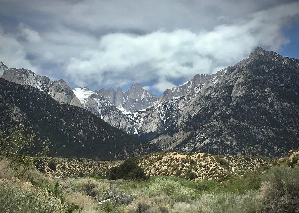
There’s a particular kind of relief that comes from trading asphalt for granite. While the Central Valley bakes and coastal cities wrestle with muggy air, a narrow band of peaks running through the middle of California quietly offers something different: cool mornings, thin crisp air, and views that stretch for a hundred miles. It’s not a hidden location exactly, but most people driving through the state on Highway 99 never think to look up and wonder what’s happening a few thousand feet above the heat shimmer.
Why the Sierra Stays Cool When the Valley Doesn’t

The physics behind this escape are straightforward once you understand elevation. For every thousand feet a hiker climbs, the air cools roughly five degrees Fahrenheit, a predictable pattern known as the lapse rate. For every 1,000 feet of elevation gain the air will cool about five degrees Fahrenheit. That means a scorching afternoon in Fresno or Bakersfield can translate into genuinely pleasant conditions once you’re standing above 9,000 feet.
Summer high temperatures in the Sierra average 42 to 90 degrees Fahrenheit, a range that reflects just how much elevation matters here. Meanwhile, in the foothills closer to the valley floor, summer daytime highs can exceed 100 degrees Fahrenheit. That gap, sometimes thirty degrees or more between trailhead towns and mountain passes, is exactly why climbers head uphill in July and August rather than avoiding the mountains altogether.
Mount Whitney and the Permit System That Protects It
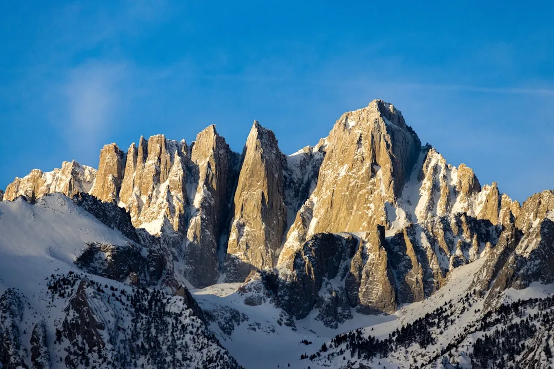
Mount Whitney rises to 14,505 feet, the highest point in the contiguous United States, and it remains the centerpiece of any High Sierra summer. The Mt. Whitney Trail starts in Inyo National Forest at Whitney Portal, 8,300 feet above sea level, and the trail gains over 6,200 feet of elevation before reaching the summit in Sequoia National Park. Roughly twenty-two miles round trip, it’s a serious undertaking even without technical climbing involved.
Because so many people want a piece of that summit, access is managed through a lottery. The Mount Whitney lottery begins each year on February 1st and ends on March 1st, with results posted to applicants’ recreation.gov accounts on March 15th. The permit system allots around 100 day permits and 60 overnight permits daily, a cap designed to protect the fragile alpine environment from being loved to death. Despite the dangers, between 25,000 and 30,000 people successfully hike Mount Whitney every year.
The Palisades: Glaciers Hidden in Plain Sight
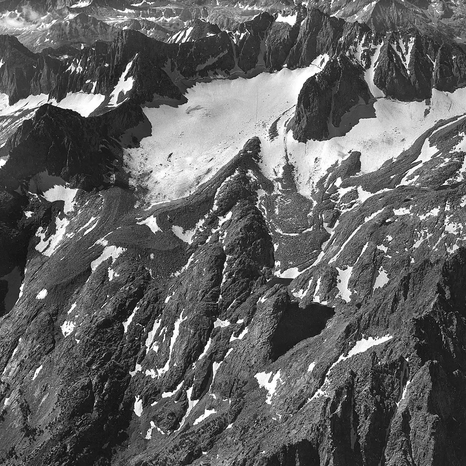
Northwest of Whitney, the Palisades group holds some of the most dramatic alpine terrain in the entire range. The Palisade Glacier is the largest glacier in the Sierra, tucked beneath North Palisade and its neighboring summits. Climbers who venture into this basin find themselves in a world that feels far removed from the dry desert basins just a few miles east.
Middle Palisade sits at the head of the South Fork of Big Pine Creek above its own smaller glacier, offering a quieter alternative to the more heavily visited routes nearby. The Palisades reward patience and skill rather than crowds, which is part of why serious mountaineers keep coming back season after season.
California’s Club of Fourteeners
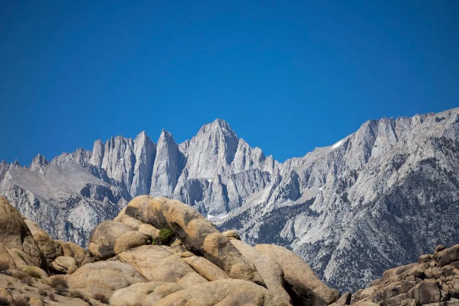
Mount Whitney isn’t traveling alone up there. California is home to fifteen summits above 14,000 feet, though only twelve are typically classified as official fourteeners, with most clustered along the Sierra crest between Yosemite and the southern range. Mount Shasta and White Mountain are the two exceptions that fall outside the Sierra Nevada proper.
White Mountain Peak, at 14,252 feet, is the third-highest peak in the state and doesn’t require a permit, making it a popular fallback for hikers who miss out on the Whitney lottery. For those chasing the full list, summer really is the only practical window, since snow and ice linger at these elevations well into the warmer months.
Mount Russell: The Overlooked Neighbor
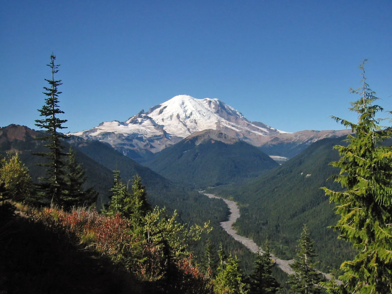
Just north of Whitney sits a peak that many hikers walk right past without realizing what they’re missing. Mount Russell is one of the finest climbers’ peaks in the High Sierra and would be far more popular if it weren’t overshadowed by its famous neighbor. Its East Ridge route delivers exposure and quality rock that rival anything on the more crowded trails nearby.
What makes Russell appealing isn’t just the climbing itself but the relative solitude. While Whitney’s trail can feel like a procession during peak season, Russell often means having an entire ridge to yourself, with the same cooling elevation benefits and none of the permit competition.
Bishop: The Eastern Sierra’s Basecamp Town
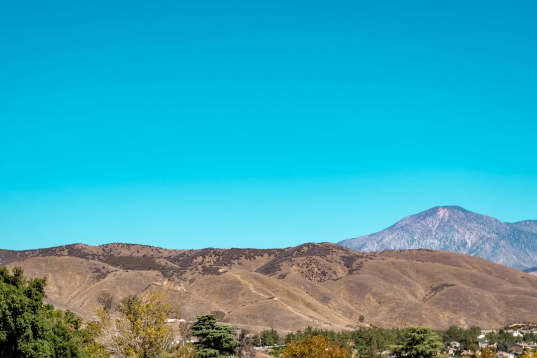
Almost every serious High Sierra trip in the southern range routes through Bishop at some point. The town sits along Highway 395 and serves as a supply stop, gear check, and acclimatization base before climbers head into the Palisades, Big Pine Creek drainages, or the John Muir Wilderness. Several established guiding outfits operate out of the area, connecting visitors with routes suited to their experience level.
The appeal of Bishop goes beyond convenience. It sits low enough to feel like civilization but close enough to the crest that within an hour’s drive, hikers are standing at trailheads well above 9,000 feet, already feeling the temperature difference the mountains provide.
Mammoth Lakes and the Range’s Northern Reach
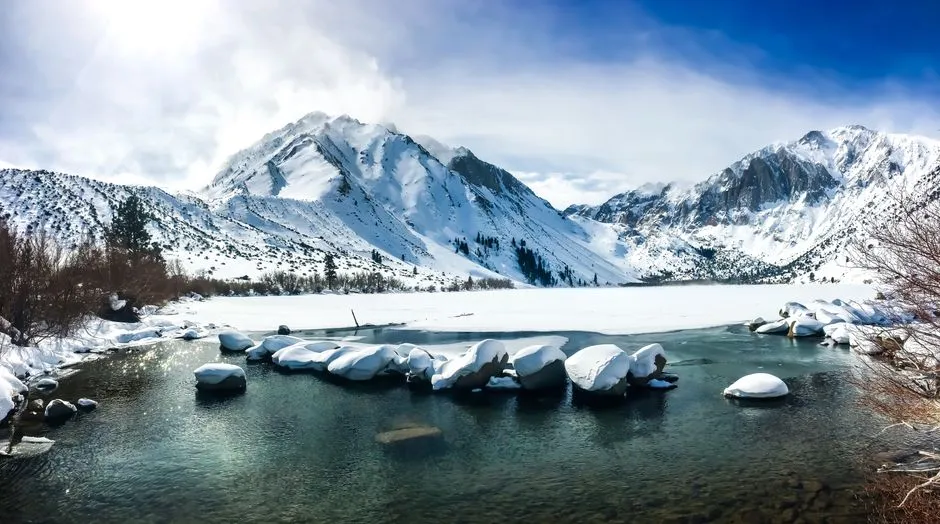
Further north, Mammoth Lakes anchors a different stretch of the High Sierra, one shaped as much by volcanic history as by granite. The John Muir Trail passes within a mile of Mammoth Mountain’s highest point, and in years with heavy snowpack, the ski resort has stayed open for skiing through July and sometimes August, an odd but telling reminder of how much winter can linger at elevation.
For summer mountaineers, Mammoth offers access to a quieter, less trafficked section of the range compared to the Whitney corridor. The trails here wind through subalpine forest before opening into granite basins that hold onto snow patches well into the warm months, keeping temperatures pleasant even during regional heat waves.
The John Muir Trail as a Summer Thread
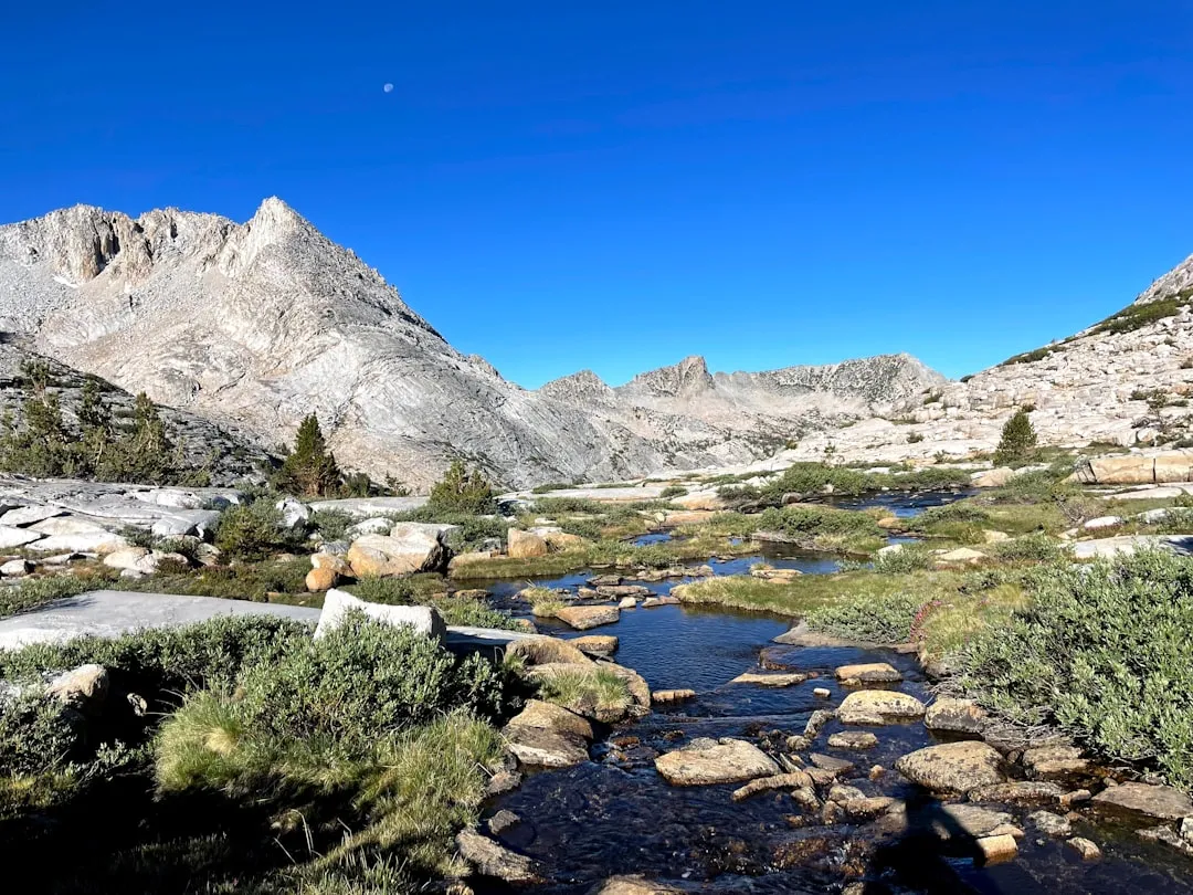
Stitching much of this together is the John Muir Trail, a route that has become something of a spine for High Sierra summer travel. The trail runs 211 miles, starting in Yosemite National Park near Half Dome and ending at Whitney Portal, crossing the summit of Mount Whitney in its final miles. Thru hikers moving along this corridor experience the same elevation relief that day hikers chase, just stretched across weeks instead of hours.
What’s notable is how the permit system treats this route differently than a standalone Whitney attempt. Since national forests and parks in the area don’t require permits for every zone thru-hikers pass through, someone hiking the JMT from Yosemite can summit Whitney on their final day without needing an additional Whitney-specific permit. It’s a small logistical quirk that rewards those willing to commit to the longer journey.
Reading the Sierra’s Unpredictable Summer Sky
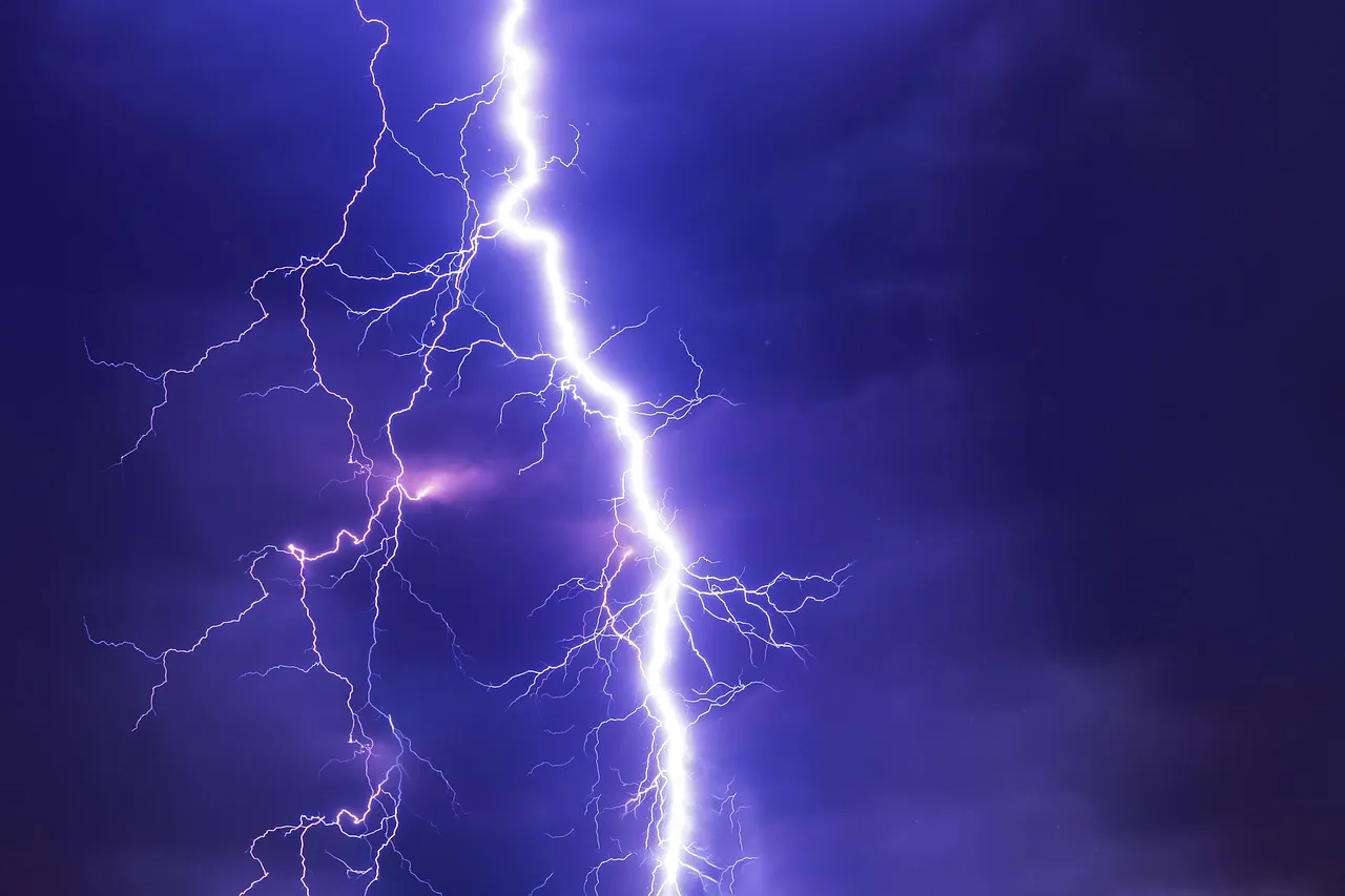
Even with cooler temperatures, the High Sierra summer isn’t without its own hazards. While most summer days are dry, afternoon thunderstorms are common, particularly during the North American Monsoon in mid and late summer, and some of these storms can drop over an inch of rain in a short period while sparking lightning-caused fires. Experienced climbers plan their days around this pattern, aiming for early starts and summit windows before clouds build in the afternoon.
Guides who work the Whitney corridor regularly point to timing as the single biggest factor in a safe trip. July to August is usually the best bet for good conditions, since while afternoon thunderstorms can happen, extreme weather is less likely during summer, and most rescues during this window stem from altitude sickness rather than falls. That distinction matters for anyone weighing when to enter the permit lottery.
A Warming Range and What It Means for Summer Travel
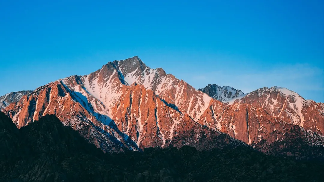
The High Sierra isn’t immune to the broader climate shifts reshaping California’s mountains. Winter 2025-2026 was the warmest on record across most of the American West, including much of the Sierra Nevada, and the following spring brought consequences that rippled well beyond the peaks themselves. The Sierra Nevada snowpack, which provides about a third of the state’s water supply, saw record March heat trigger unusually rapid snowmelt well ahead of its typical peak.
Longer term, the outlook points toward more of the same. Climate models predict warmer winters, earlier spring warm-up, and warmer summers for the Sierra Nevada, with temperatures potentially rising by roughly 3 to 10 degrees Fahrenheit by 2100 depending on emissions scenarios. For mountaineers, that likely means shorter snow seasons on approach routes and a summer window that shifts earlier, making careful attention to current conditions and permit timing more important than ever.
The High Sierra hasn’t changed its fundamental appeal: elevation still buys relief from heat, and granite still holds its quiet grandeur regardless of what’s happening in the valleys below. What has shifted is the need to plan more deliberately, whether that means entering the Whitney lottery with flexible dates or checking snowpack reports before committing to a route. For those willing to do the homework, the range still delivers exactly what it always has, a cool, high, and genuinely beautiful escape from a California summer.
AI Disclaimer: This article was created with the assistance of AI tools and reviewed by a human editor.