
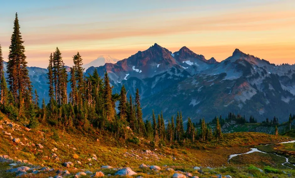
There’s a particular kind of quiet you notice driving along State Route 706 in southwest Washington, right before the trees part and the mountain fills the entire windshield. It happens fast, almost without warning, and it’s the same moment that has stopped photographers, hikers, and casual travelers in their tracks for well over a century. The town where that moment lives is small enough that you could miss it if you blinked, yet it has become one of the most recognized gateway communities in the entire national park system.
A Town Built Around A Mountain’s Shadow
Ashford, Washington is not a place that announces itself with billboards or big box stores. It’s a scattering of cabins, cafes, and outfitters strung along the highway, and its entire identity is tied to what sits just up the road. The Ashford CDP recorded a population of 303 as of the 2020 census, a number small enough that most American cities have more people in a single apartment building.
Yet that tiny footprint belies its outsized role in Pacific Northwest tourism. This is the town travelers pass through, stock up in, and sleep in before heading toward one of the most photographed volcanoes on the continent.
The Peak That Draws Photographers From Everywhere
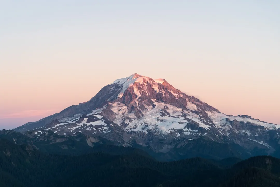
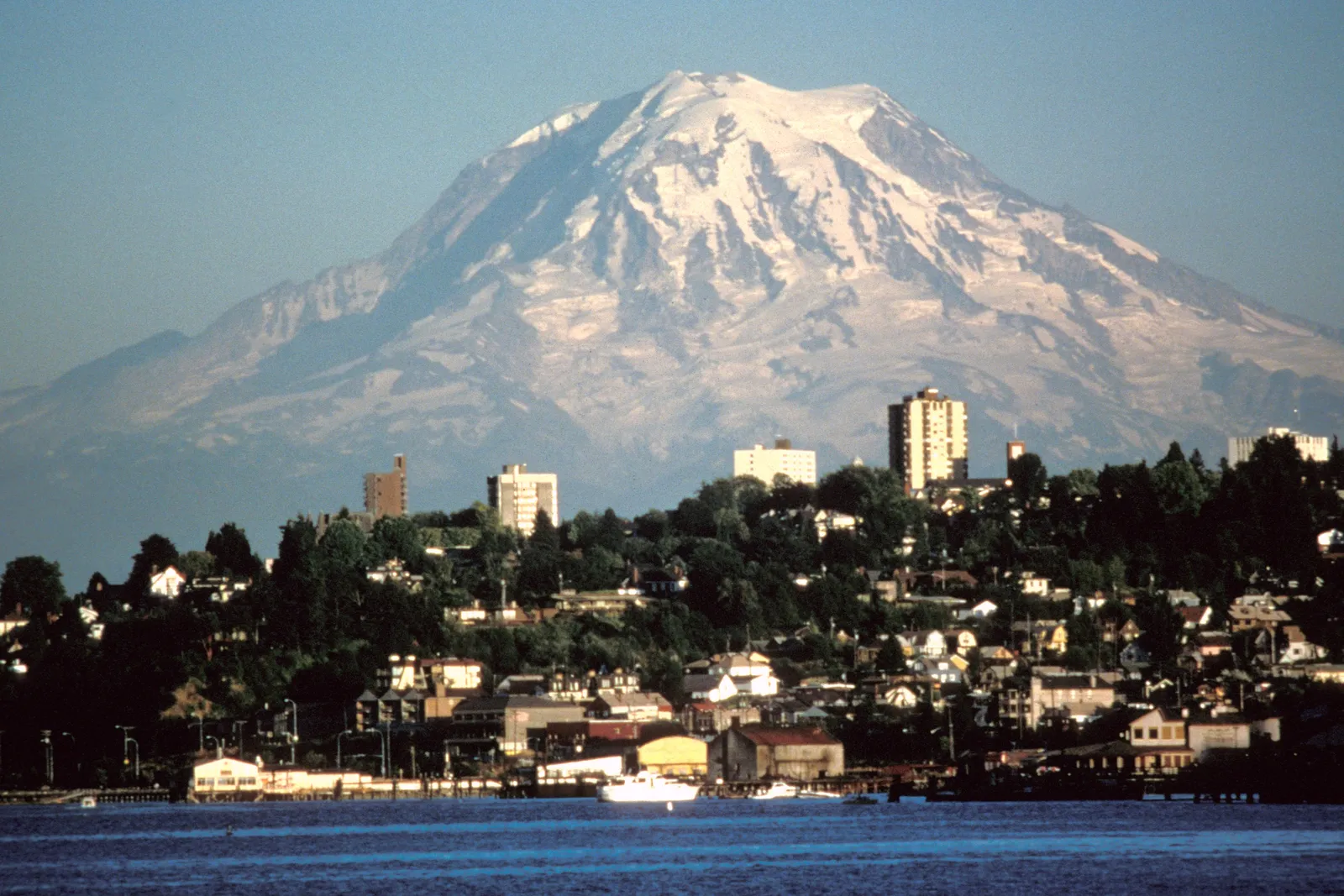
Mount Rainier is not just tall, it’s a presence. Rising to a 14,410 foot stratovolcano, it dominates the skyline of the entire South Sound region and is visible from Seattle on clear days. Writers and photography guides consistently describe it as one of the most photographed mountains in the country, noting that it is an icon in the Washington landscape and most accessible from Mount Rainier National Park.
Part of what makes it so compelling through a lens is its isolation. Unlike ranges where peaks blend together, Rainier stands almost entirely alone, a solitary white cone against dark forest and often against nothing but sky.
Where The Cascades Rise From The Nisqually River Valley
Ashford sits in a narrow, heavily forested valley carved by the Nisqually River, with mountains pressing in close on either side. According to geographic records, the town is west of the main Nisqually River entrance to Mount Rainier National Park, and surrounding mountains and the narrow Nisqually River valley are heavily forested.
The setting feels almost enclosed, tall Douglas firs and constant moisture giving the whole area a hushed, green density. It is the kind of landscape that makes the sudden appearance of the mountain, when the trees briefly clear, feel almost theatrical.
A Homestead Turned Gateway
Long before it became a staging ground for climbers and sightseers, this stretch of the Nisqually valley belonged to the Upper Nisqually people. Historical records note that the area was first settled by the Upper Nisqually nation, a Salish tribe, whose presence in the valley predates the arrival of European settlers by generations.
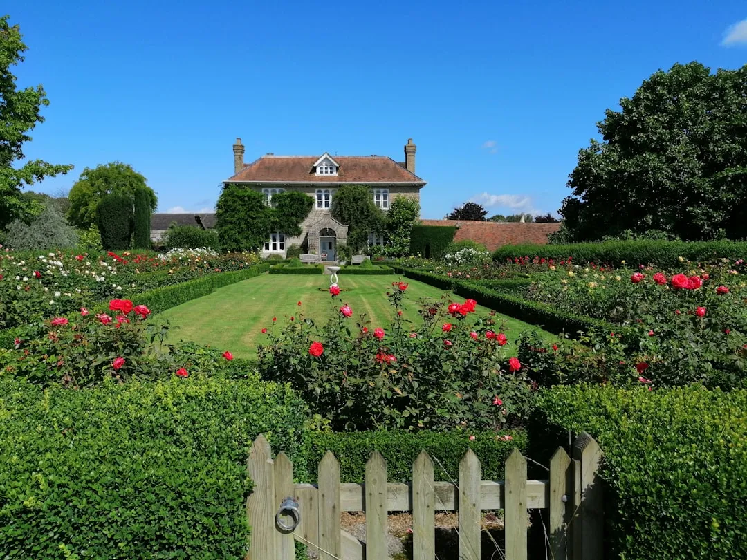
The town’s current name traces back to a single homesteader. Ashford was named for Walter A. Ashford, who homesteaded there in 1888, just over a decade before the mountain and its surrounding wilderness were formally protected. A tangible piece of that early era still stands today: the Ashford Mansion, built 1903, is now an NRHP listed building.
Life In The Shadow Of A Glaciated Volcano
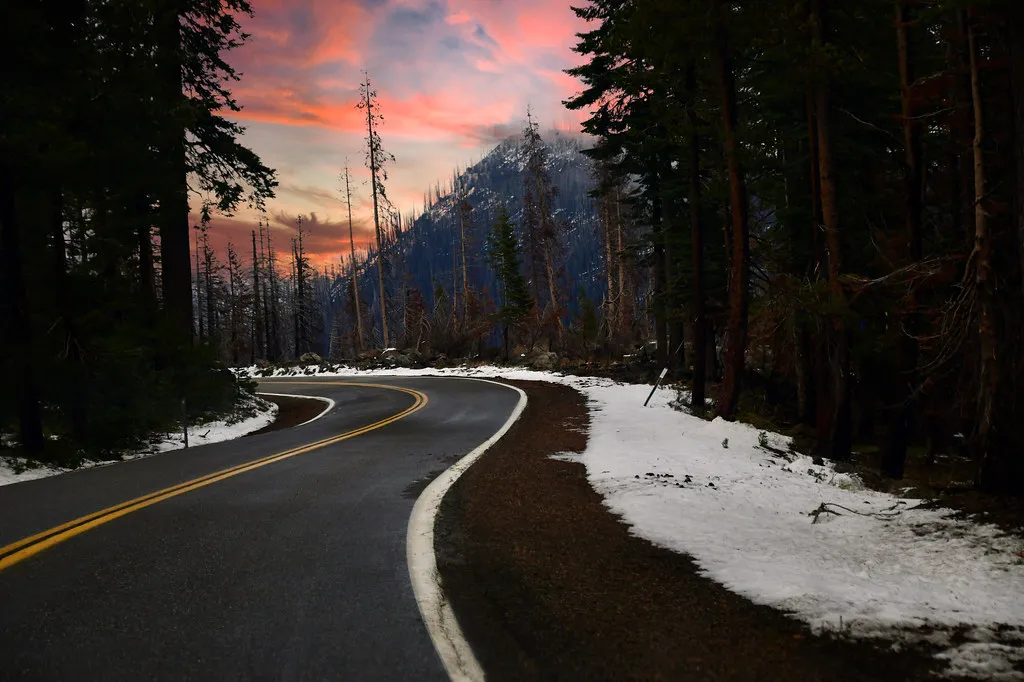
Modern Ashford runs on a rhythm dictated almost entirely by the mountain’s seasons. One travel writer who spent time there described the town plainly, noting that there’s a general store, a few cabins, a couple cafés, and a strong sense that people here came to climb, not complain. Locals and visitors alike gather at spots like Whittaker’s Bunkhouse, a rustic lodge where climbers sleep, swap stories, and lay out gear on picnic tables, simple, rustic, and soaked in climbing history.
Restaurants lean into the region’s outdoor culture as well. One well regarded spot in town, run by a Nepalese family, is known for hearty breakfasts fit for exhausted hikers, part of a dining scene where the dining scene in Ashford reflects the region’s emphasis on fresh, locally sourced ingredients, with hearty breakfasts, casual lunches, or gourmet dinners.
The Trails That Begin Where The Road Ends
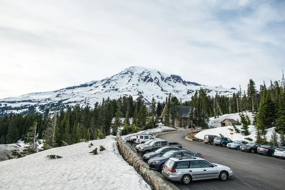
Ashford functions as the unofficial trailhead for some of the most demanding and rewarding routes in the Cascades. The Wonderland Trail, a multi day backpacking route, circles the entire mountain, and as one description puts it, it circles Mount Rainier in 93 rugged miles, but even a day hike from the Longmire area will give you a taste of alpine glory.
For those attempting the summit itself, the journey typically begins with a hike to Camp Muir, a shelter positioned just above 10,000 feet where climbers stage their final push. As one account explains, the standard route to the top is the seven mile non technical snow climb called Disappointment Cleaver, where climbers start from the Paradise parking lot and hike to the popular Camp Muir.
Managing The Crowds In A Park In High Demand
Popularity has brought its own set of challenges to the area around Ashford. Mount Rainier National Park has seen visitation climb steadily over the past decade, with the park service reporting that visitation has grown from just over 1.1 million in 2013 to about 1.6 million in 2022.
To manage the resulting congestion, the park introduced a timed entry system for its busiest corridors. Officials noted the change was necessary because the system was implemented due to increased crowding at the park between July and September, when 70 percent of the annual 1.6 million patrons visit and cause traffic congestion. The reservation requirements have since been adjusted year to year, with the Sunrise corridor requiring reservations in summer 2025 while Paradise access returned to a first come basis, according to park records.
Paradise And The Wildflower Meadows Beyond Ashford
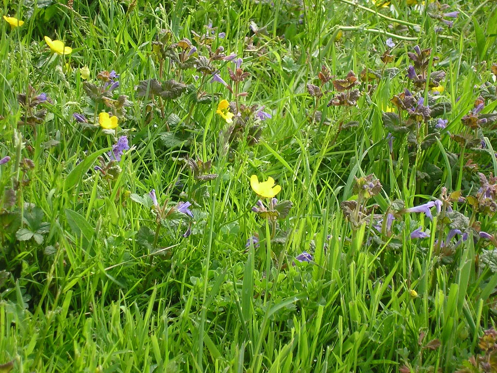
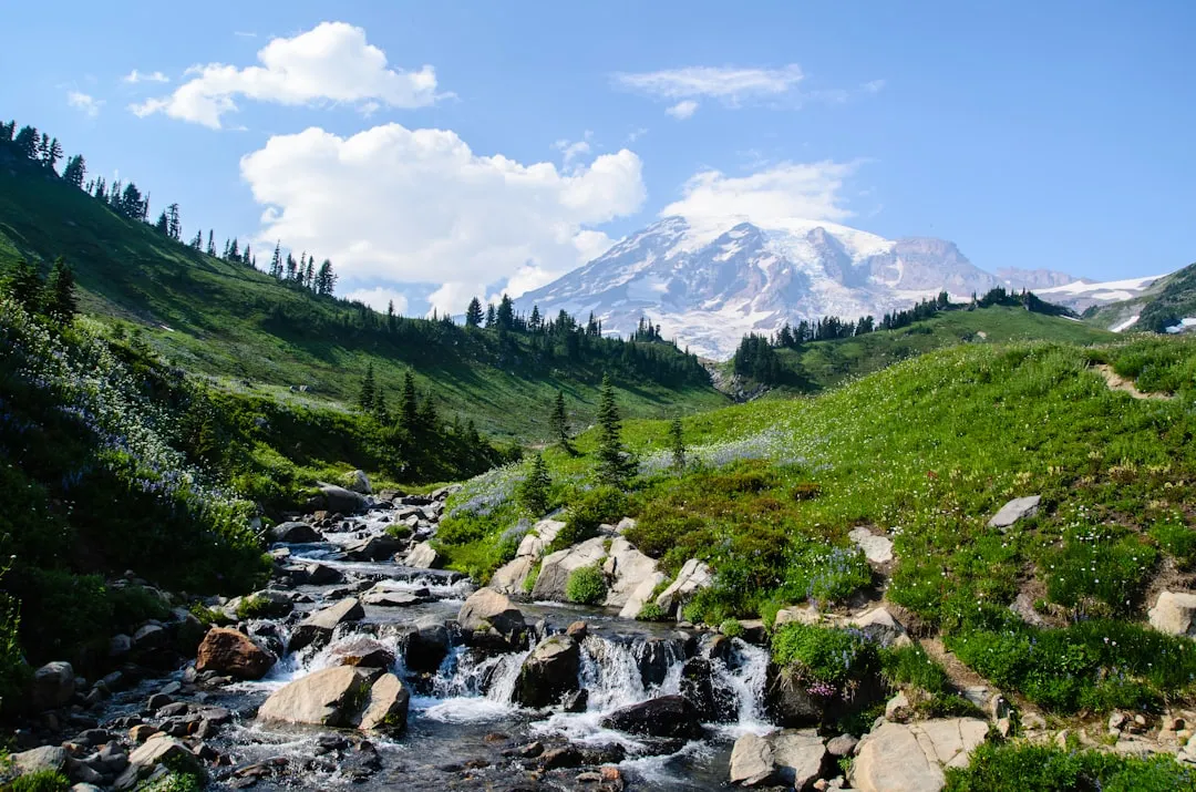
A short drive up from Ashford brings visitors into Paradise, the park’s most visited and most photographed subalpine area. The wildflower displays there are seasonal but spectacular, and local guides recommend timing a visit carefully, since the wildflower meadows in Paradise and Sunrise are in full bloom from late July to early August, offering spectacular photo opportunities.
Paradise also holds a curious distinction tied to weather rather than scenery. According to the National Park Service, Paradise is the snowiest place on Earth where snowfall is measured regularly, and during the 1971 to 1972 year, 93.5 feet of snow fell, setting a world record for that year. That kind of extreme, layered climate is part of what gives the mountain its dramatic, ever changing look throughout the year.
The Glaciers That Define The View
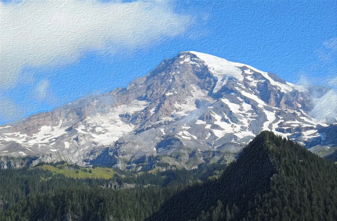
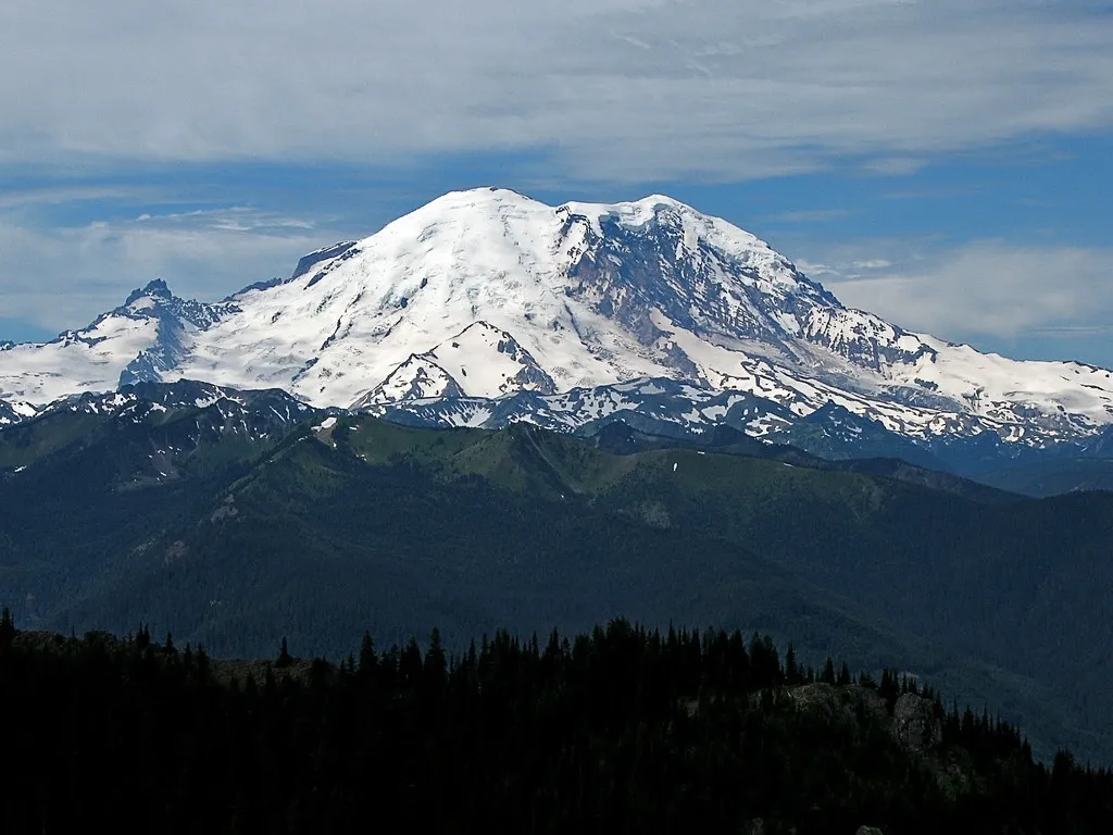
What separates Rainier from many other iconic American peaks is the sheer amount of ice clinging to its slopes, which shapes both its silhouette and its reputation among photographers. Geological summaries describe it plainly: more than 25 glaciers descend the flanks of the volcano, which is often shrouded in clouds that dump enormous amounts of rain and snow.
This glacial coverage makes Rainier the most heavily iced peak in the lower 48 states, a fact that contributes directly to its visual drama. Even in midsummer, when lowland Washington is warm and dry, the upper mountain retains bright white fields of snow and ice that catch the light differently depending on the hour, which is part of why the same viewpoint can produce entirely different photographs depending on when you show up.
A Small Community With An Outsized Reputation
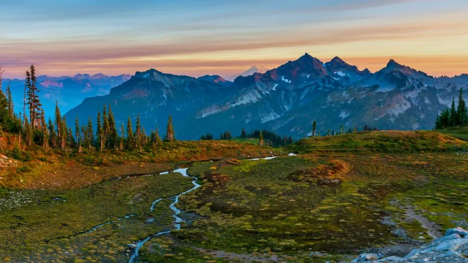
For a town of a few hundred people, Ashford carries a remarkable amount of weight in the world of American outdoor recreation. It has stayed largely unpolished on purpose, prioritizing function over polish, since as one visitor account summarized, Ashford doesn’t care about your gear, it cares if you know how to use it.
That kind of grounded, unpretentious character is increasingly rare near major natural landmarks, many of which have grown glossy and commercialized as visitor numbers climb. Ashford, so far, has resisted that shift, remaining a working base camp rather than a resort town, which may be exactly why the mountain looming above it still feels as awe inspiring today as it did to the earliest homesteaders who settled the valley more than a century ago.
AI Disclaimer: This article was created with the assistance of AI tools and reviewed by a human editor.