
Ask someone who has never been to Michigan what the state’s coastline looks like, and you will likely hear guesses about gray water, flat farmland, or maybe a lighthouse or two. The reality along the northern shore of Lake Michigan tells a different story, one built from turquoise bays, glacially carved lakes, and hillsides stitched together with cherry and apple trees. This stretch of the Lower Peninsula, anchored by Grand Traverse Bay and reaching north toward Little Traverse Bay, has quietly built a reputation among travelers who care about both scenery and substance.
What follows is a tour through ten places and experiences that define this region, from working orchards to lakes so clear they seem to belong somewhere tropical.
The Cherry Capital’s Bay Country
Traverse City sits at the base of Grand Traverse Bay, where two peninsulas, Old Mission and Leelanau, stretch north into Lake Michigan like fingers dividing the water. The geography here is not decorative. The area sits along Lake Michigan, whose waters moderate temperatures on land, keeping frosts at bay long enough for cherry trees to bloom and summers cool enough for the fruit to thrive, while the rolling hills of the Old Mission and Leelanau peninsulas provide ideal soil drainage.
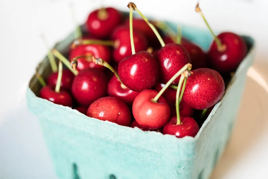
That combination has made the region one of the more productive fruit-growing corners of the country. Michigan produces roughly three quarters of all the tart cherries and more than one fifth of the sweet cherries grown in the United States, according to the Agricultural Marketing Research Center. Most of that harvest comes from this narrow band of counties hugging the bay.
Spring’s Brief, Brilliant Blossom Season
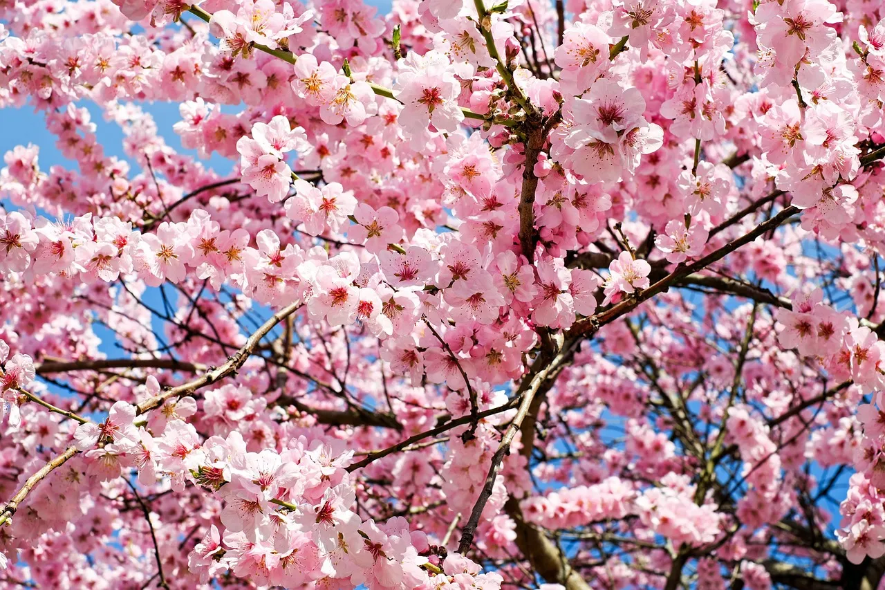
Long before the fruit ripens, the orchards put on a different kind of show. Cherry blossoms last an average of four to five days on the trees, though because different parts of the region bloom at different times, Traverse City’s blossom season can be enjoyed for most of May. Warmer inland spots tend to flower first.
Acme and Williamsburg usually have warmer temperatures, so their trees bloom first, followed by Benzie County and Leelanau County, with the final bursts of flowers showing up in Northport and at the tip of the Old Mission Peninsula. The staggered timing means a single spring drive can chase the blossoms from one township to the next.
Old Mission Peninsula’s Vineyard Drive
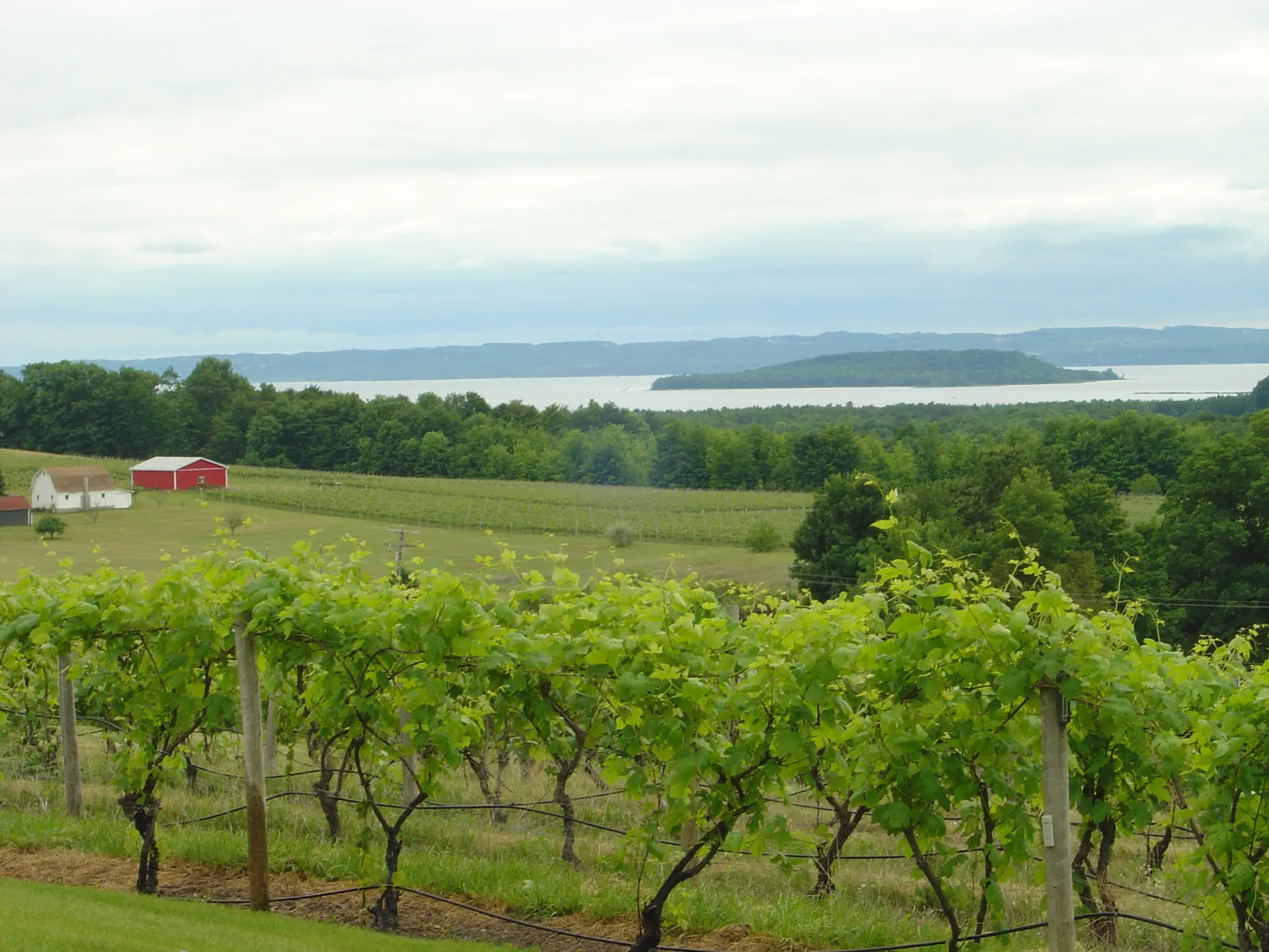
A single road, M-37, runs the full length of Old Mission Peninsula, and it might be the single best introduction to this landscape. The best way to see the Traverse City cherry blossoms on Old Mission Peninsula is to take a drive up M-37, which weaves through farms and orchards and offers stunning views of West and East Grand Traverse Bay.
The peninsula’s narrow shape means water is rarely out of view, whichever side of the road an orchard sits on. There are 10 wineries on the Old Mission Peninsula, many of them tucked between cherry rows with tasting rooms that look straight out over the bay.
Sleeping Bear Dunes National Lakeshore
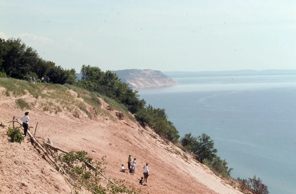
West of the peninsulas, the coastline changes character entirely at Sleeping Bear Dunes. The park extends along a 35-mile stretch of Lake Michigan’s eastern coastline, as well as North and South Manitou islands, preserving a total of 71,199 acres.
The dunes themselves are enormous, wind-sculpted mounds that plunge straight down to the water below. This is one of the busiest national park sites in the country, too. Sleeping Bear Dunes National Lakeshore recorded 1,670,025 visits in 2024, a figure that places it among the most visited units in the entire National Park System.
Glen Lake’s Twin Turquoise Basins
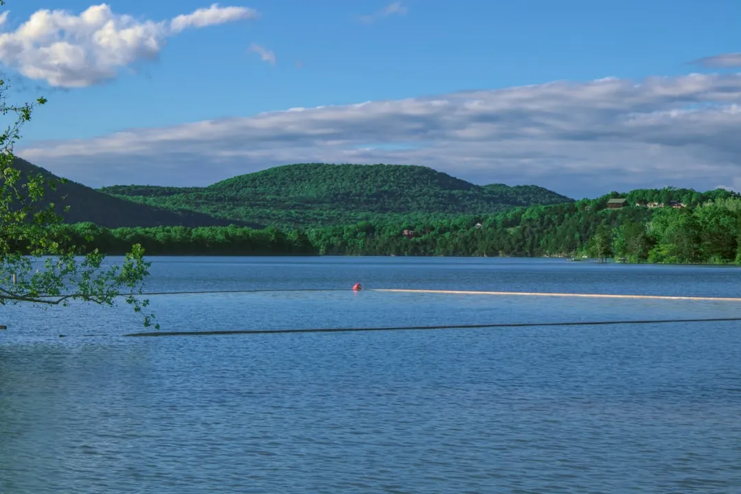
Tucked just inland from the dunes sit Big and Little Glen, a pair of connected lakes with a color that surprises most first-time visitors. Big Glen Lake and Little Glen Lake are a startlingly blue pair, presenting a postcard view of these interconnected twins framed by verdant hills, their bright blue waters stealing the show.
The two halves behave quite differently once you’re in the water. Little Glen, the smaller western part, is especially shallow and warm, while Big Glen reaches about 130 feet deep and stays a bit cooler, with drop-offs that create color gradients from aqua to deep blue. The Ojibwe name for the lake reflects exactly what visitors notice first. The indigenous Chippewa people once referred to this lake as ‘Majinabeesh,’ which roughly translates as ‘sparkling water.’
Torch Lake, the Caribbean of the North
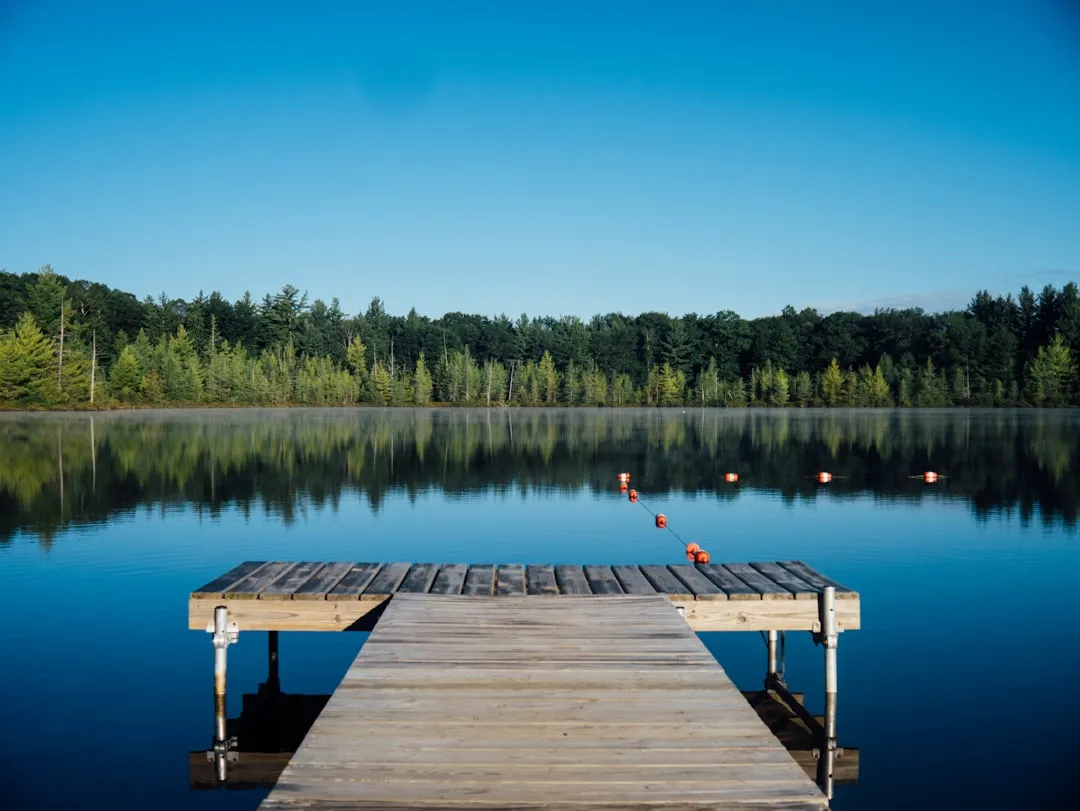
A short drive east, Torch Lake has earned a nickname that sounds like a stretch until you actually see it. Legitimately nicknamed the Caribbean of the North, this nineteen-mile-long lake stuns visitors with unreal clarity and color, reaching 310 feet at its deepest and owing its tropical hues to glacial history.
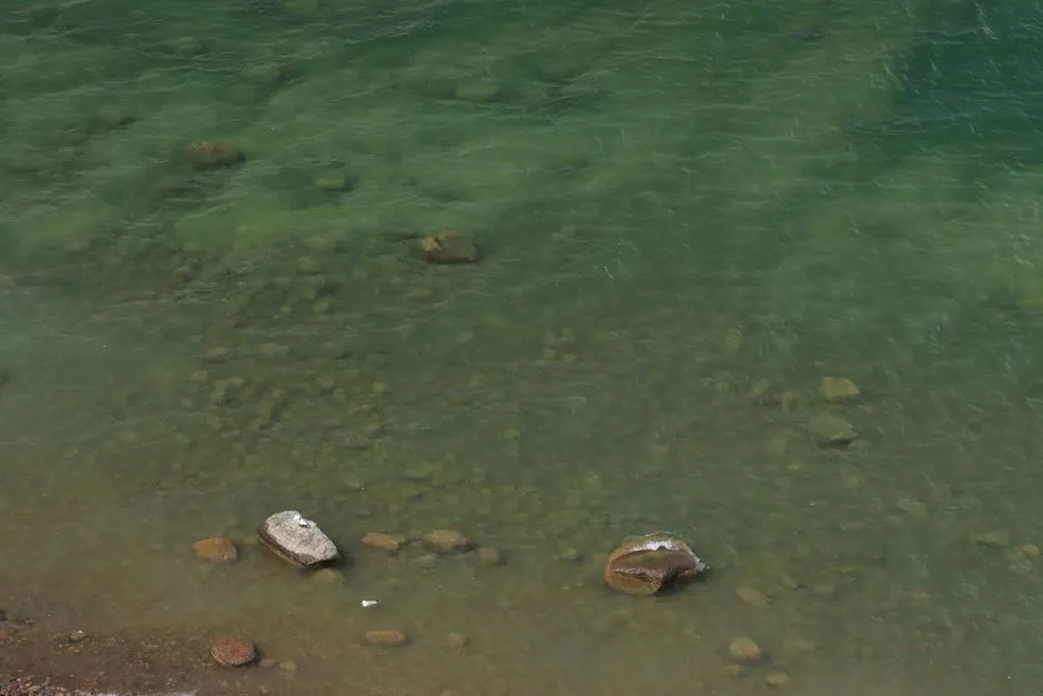
The science behind that color is straightforward. The incredible clarity of Torch Lake is primarily due to its limestone marl bottom, and because the lake has very low organic content and minimal decaying vegetation, there is very little sediment suspended in the water, allowing light to penetrate deeply and reflect off the white calcium carbonate floor.
Summer water temperatures can climb surprisingly high for a Michigan lake. Torch Lake warms to 85 to 90 degrees Fahrenheit in summer, with crystal-clear conditions especially near the sandbar.
Crystal Lake and the Quiet Side of Benzie County
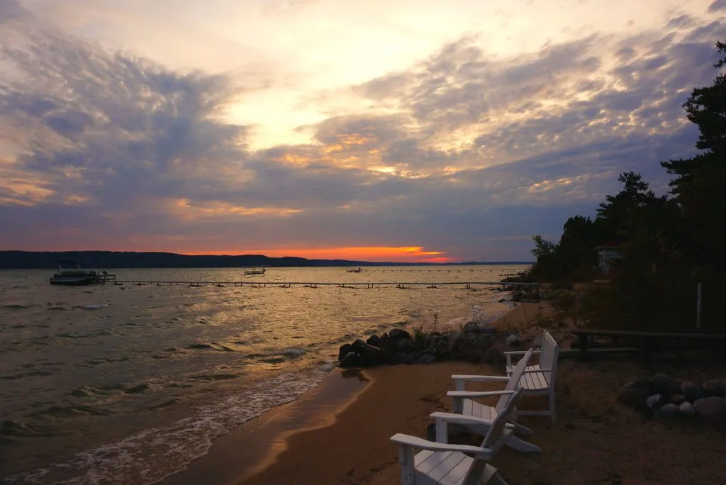
Not every remarkable lake in this region carries a famous name, and Crystal Lake in Benzie County is a good example. Crystal Lake, situated in Benzie County, is known for its clear, turquoise water, and while it’s a smaller lake, its beauty rivals any larger body of water.
Recent monitoring data backs up the reputation the lake has built over decades. Visitors can see the bottom of this lake at an average depth of 35 feet, according to the Cooperative Lakes Monitoring Program’s 2025 data. The town of Beulah sits right on its shore, small enough that a swim and an ice cream stop can happen within the same short walk.
The Leelanau Wine Trail
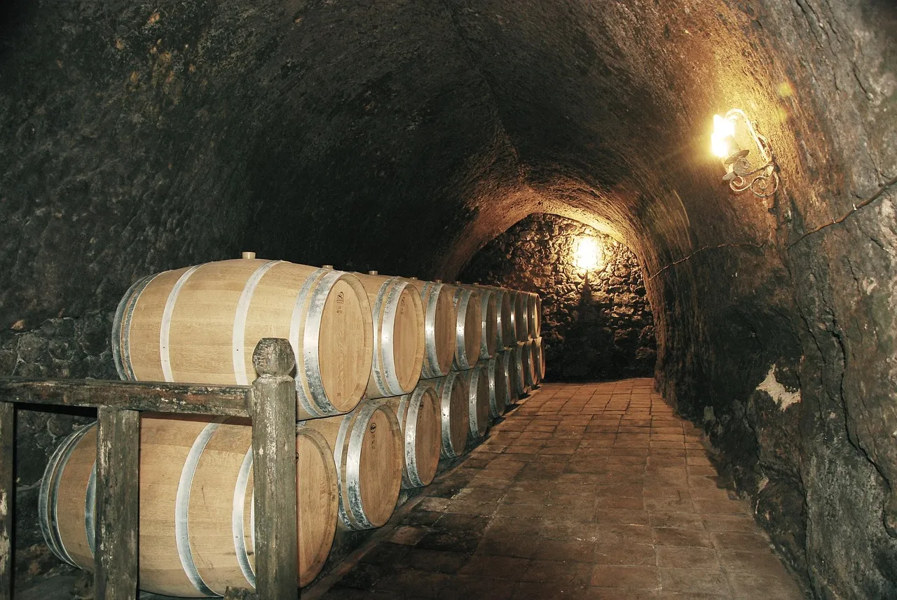
Across the bay from Old Mission, the Leelanau Peninsula covers more ground and holds an even larger concentration of wineries. The Leelanau Peninsula Wine Trail hosts 26 wineries, divided into the Sleeping Bear Loop, the Grand Traverse Bay Loop, and the Northern Loop. Port towns along the way give the drive a rhythm of stops and views.
Leelanau Peninsula is home to port towns such as Leland, Northport, and Suttons Bay, and while it has a lot more ground to cover than Old Mission Peninsula, it’s also blanketed with beautiful cherry orchards. Many tasting rooms here sit directly beside fruit farms, so a wine flight and a bag of fresh cherries often come from the very same afternoon.
M-22 and the Culture of the Coastal Drive
If one road symbolizes this entire region, it’s M-22, the scenic highway that traces the Leelanau shoreline before curling around toward Sleeping Bear Dunes. Within the park run scenic highways M-22 and M-109, and the M-22 shield has become such a popular cultural symbol to visitors that a company based out of Traverse City began selling merchandise with it in 2004.
The road itself connects some of the area’s best-known stops. Farms and vineyards along the M-22 highway, such as Cherry Republic and Black Star Farms, welcome visitors with blossom tours and local cherry products. Few highways in the Midwest have turned into a recognizable brand quite the way this one has, and driving it explains why almost immediately.
Little Traverse Bay and the Petoskey Wine Region
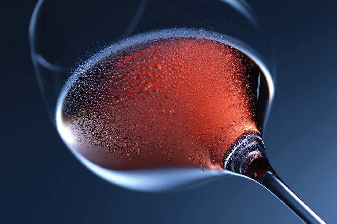
Farther north, past Charlevoix, the coastline opens into Little Traverse Bay, home to a newer but fast-growing wine region built around cold-climate grapes. The Petoskey Wine Region is made up of 14 unique wineries located along the Little Traverse Bay and Lake Michigan coastal region, part of the larger Tip of the Mitt American Viticultural Area, which encompasses 2,760 square miles across seven northern Michigan counties.
Instead of chasing familiar varietals, growers here have leaned into grapes bred for harsh winters. It’s cold-hardy grapes such as Marquette, a red varietal, that the region is embracing and that are putting Petoskey on the Michigan wine map. Just south, Lake Charlevoix adds its own visual signature to the trip, with turquoise shallows and a small downtown built around a working drawbridge that lifts for passing sailboats.
The thread running through all of it, from the cherry rows above Grand Traverse Bay to the marl-bottomed clarity of Torch Lake, is a landscape shaped by ice age geology and a few generations of patient farming. None of it needs exaggeration to make its case. Visit in blossom season or in the deep blue of a July afternoon, and the water and the orchards do the convincing on their own.
AI Disclaimer: This article was created with the assistance of AI tools and reviewed by a human editor.