


Florida has always had a complicated relationship with summer. The same warmth that fills the beaches and draws millions of visitors each year also fuels the Atlantic’s storm engine. Right now, heading into the heart of the 2026 hurricane season, travelers planning a Florida trip are asking a reasonable question: what does the forecast actually look like, and what should I do about it?
The good news is that this year’s outlook is notably calmer than recent seasons. The context, though, is just as important as the headline numbers, because in Florida, one storm is always enough to change everything.
The 2026 Season Forecast: Below Normal, But Not Risk-Free

NOAA’s official outlook for the 2026 Atlantic hurricane season predicts a 55% chance of a below-normal season, a 35% chance of a near-normal season, and just a 10% chance of an above-normal season. The agency is forecasting eight to fourteen named storms, three to six hurricanes, and one to three major Category 3 or higher storms for the season.
Both Colorado State University and NOAA have predicted below-average seasons for the 2026 Atlantic hurricane season. CSU’s most recent June 2026 forecast calls for up to eleven named storms, of which five could strengthen into hurricanes, and two could become major hurricanes. Even so, no forecaster is suggesting travelers simply ignore the season.
El Niño: The Climate Force Shaping This Season
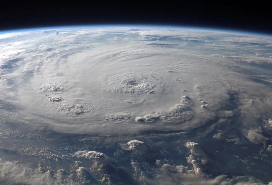
El Niño is now officially in place as of June 2026, and it is expected to strengthen during the season. This phenomenon produces higher-than-average vertical wind shear in the tropical Atlantic, which can prevent tropical cyclones from forming or intensifying.
NOAA’s Climate Prediction Center shows El Niño is expected to strengthen during the second half of 2026, with forecasters increasing confidence that the climate pattern will persist through the upcoming fall and winter. This phenomenon will disrupt typical atmospheric conditions, resulting in increased vertical wind shear, thus suppressing the formation and organization of major hurricanes throughout the Atlantic season.
El Niño seasons, on average, see about ten named storms and five hurricanes, while La Niña years produce about fifteen storms and eight hurricanes. That is a meaningful statistical difference, though forecasters are careful to note it offers no guarantees for any individual location.
Why “Below Normal” Doesn’t Mean “Safe to Ignore”
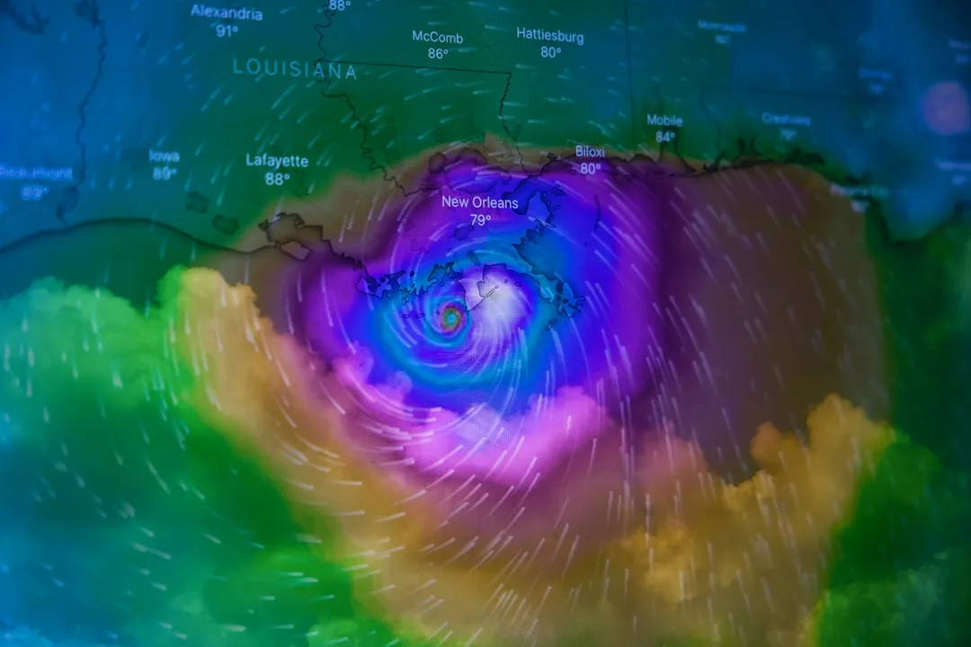
Experts at Colorado State University, like those at the National Hurricane Center, continue to emphasize that even a less active season can produce dangerous landfalling storms. CSU calculated just a 24% chance of a major hurricane making landfall along the entire U.S. coastline in 2026, compared to a historical average of 43%. Still, forecasters stress that even a below-average season can still produce damaging landfalling storms.
Forecasters warn that the risk of U.S. impacts remains elevated due to the potential for rapid intensification over very warm waters and homegrown development near the U.S. coastline. AccuWeather lead hurricane expert Alex DaSilva has urged that regardless of the forecast, travelers and residents from South Texas to Maine should prepare equally for each and every hurricane season.
The Lessons Florida Carried Out of 2024 and 2025
For residents and frequent visitors still carrying memories of Hurricanes Milton and Helene in 2024, the below-average 2026 forecast brings some relief. A third hurricane, Debby, also made landfall in Florida in 2024. The Atlantic basin finished the 2024 season with eighteen named storms, eleven hurricanes, and five that intensified to major hurricanes, with five making landfall in the continental U.S.
The 2025 season, by contrast, was a quiet year for the U.S. with no hurricane landfalls, something that had not happened since 2015. Tropical Storm Chantal was the only storm to make landfall in the U.S., bringing excessive rainfall and flooding to North Carolina. However, the Atlantic Basin still produced four major hurricanes, including three that became powerful Category 5 storms. The pattern of recent seasons serves as a reminder that quiet and dangerous can coexist within the same year.
When Florida’s Storm Risk Peaks: Know the Calendar
The Atlantic hurricane season runs from June 1 through November 30, with the statistical peak of the season falling around September 10. The most activity happens between mid-August and mid-October, according to the National Hurricane Center.
The most active months are typically August, September, and October. The Atlantic season actually has two peaks: mid-September and mid-October, though activity tends to drop quickly after the second peak. If you are planning a Florida trip and these months fall in your window, that timing is worth factoring into your booking decisions.
Which Parts of Florida Face the Greatest Exposure
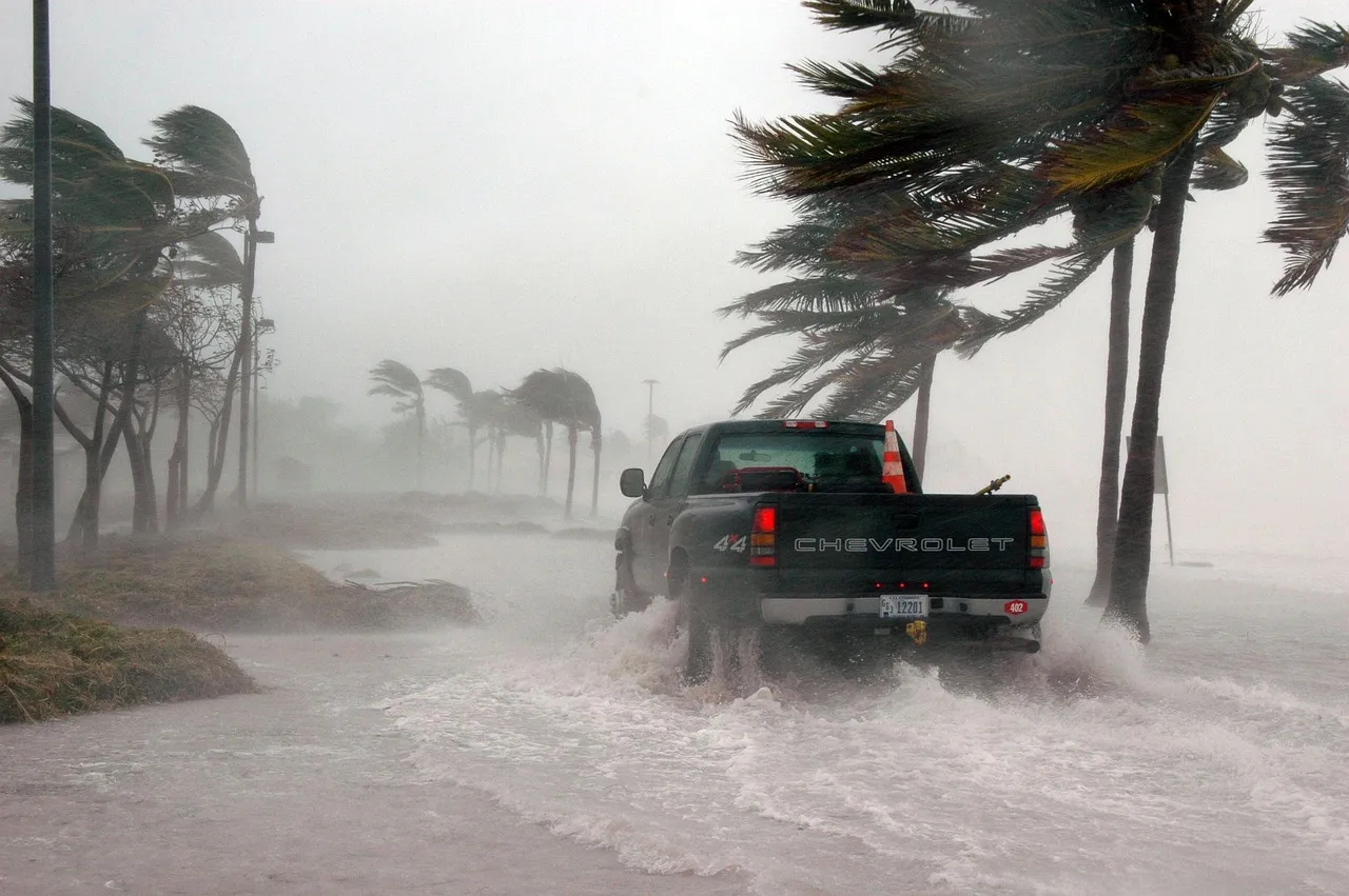
Parts of the country at elevated risk of tropical impacts in 2026 include the central and eastern Gulf Coast, roughly from around New Orleans to Tampa, Florida, as well as the Carolinas and parts of the Virginia coastline. Florida’s geography creates a unique vulnerability: the state extends far enough south that it can be approached from the Atlantic or the Gulf, depending on a storm’s path.
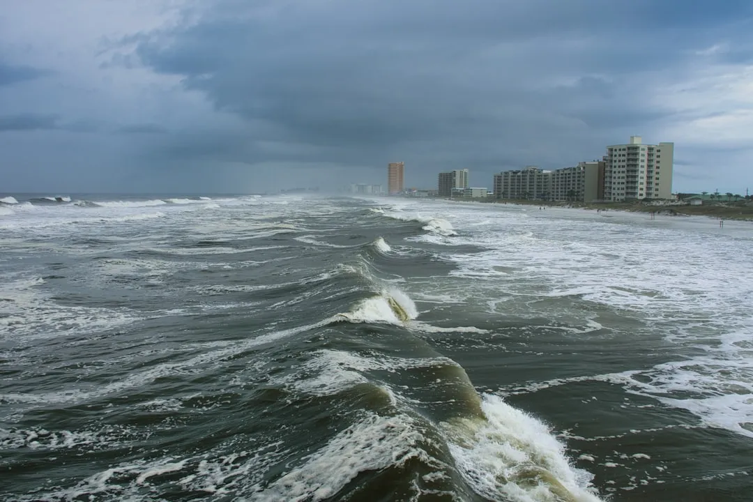
Storm surge, inland flooding, tornadoes, rip currents, and power loss can all create danger even when a storm weakens before landfall or tracks well offshore. Travelers staying anywhere on the Florida coast, not just in areas directly under a storm warning, can experience disrupted conditions. Florida’s tornado risk also overlaps with severe summer weather more broadly, not just named storms.
New Tools Helping Forecasters Track Storms Earlier
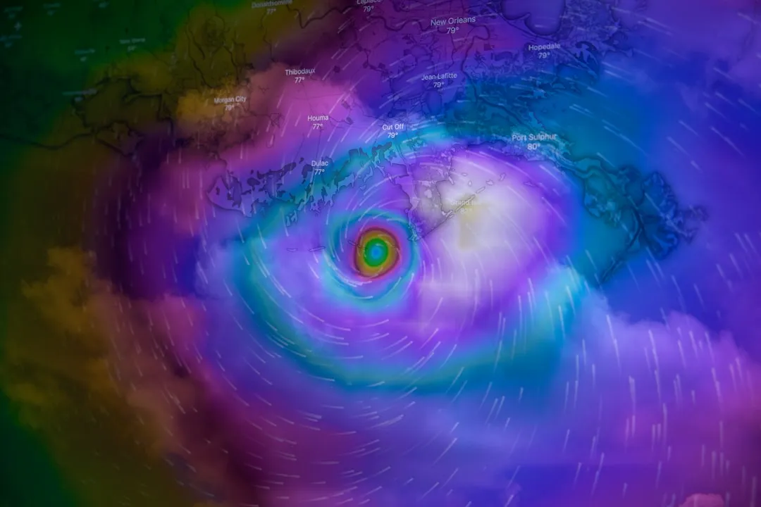
The updated Hurricane Analysis and Forecast System, known as HAFS, offers roughly five percent better prediction accuracy in both path and strength on top of recent gains, doubling the accuracy of four-day forecasts compared to twenty years ago. That improvement matters practically: it means evacuation decisions and travel adjustments can be made with more confidence and less lead time wasted.
For the 2026 season, forecasters are also highlighting the debut of the National Hurricane Center’s new inland forecast cone, and AI technology is now being used to help revolutionize how storm landfalls are tracked. The NHC is introducing a new operational hurricane track cone map for the 2026 hurricane season. These upgrades are meaningful, especially for travelers trying to interpret storm graphics in real time.
What to Do if a Storm Develops During Your Trip

Use official sources first: the National Hurricane Center, the National Weather Service, and local emergency management instructions. If local authorities issue evacuation or shelter instructions, follow them. Do not decide that a storm is harmless because the category number looks lower than expected; flooding and surge can still be severe.
Emergency officials recommend preparing before the season starts, building an emergency kit should you need to evacuate, ride out the storm, or have no power for several days. Those in low-lying areas prone to flooding, in mobile homes, or unsafe structures may be ordered to evacuate during a hurricane, either voluntarily or under a mandatory order. Visitors should identify their accommodation’s evacuation zone before a storm is even named.
Booking Strategies and Theme Park Policies
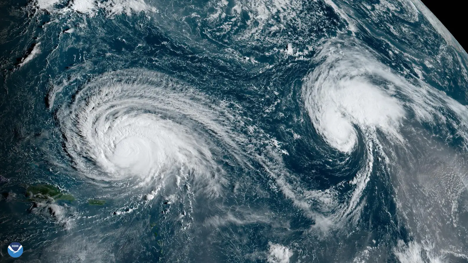
The cheapest stretch for Florida travel runs from late August through September. Domestic airlines tend to offer lower fares during this window, and upscale resort rates can fall significantly. The catch is real: this is the peak of the Atlantic hurricane season, so booking here means watching the forecast closely and accepting that a trip could be disrupted at the last minute.
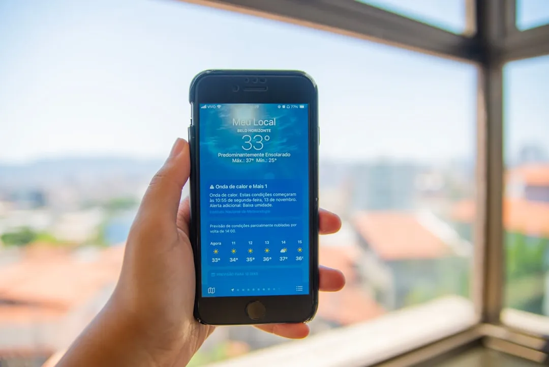
Travelers should monitor forecasts from the National Hurricane Center in the days before a trip and during longer stays. Consider flexible bookings or travel insurance that includes coverage for named storms, and review your hotel or rental policies carefully. If the National Hurricane Center issues a hurricane warning for the Orlando area within seven days of your arrival date, Disney does allow people to reschedule or cancel Disney-booked hotels and vacation packages. Universal Orlando has similar provisions tied to official warnings or declared states of emergency.
The Smart Traveler’s Checklist Before Any Florida Trip This Season

The National Hurricane Center’s daily tropical outlooks are updated four times a day on the NHC’s website and social media accounts. When needed, the NHC will issue a special tropical outlook between those times with updates on a potential disturbance’s development, direction, or intensity. Checking in daily once you are within seven to ten days of departure is a straightforward habit to adopt.
Travel with insurance that clearly covers storm disruption. Know whether your hotel, villa manager, or resort has a hurricane procedure. Do not treat evacuation zones as local trivia if you are staying on or near the coast. Experts recommend assembling at minimum a three-day supply of food and water in preparation for the season.
Looking Ahead: A Manageable Season With Eyes Wide Open
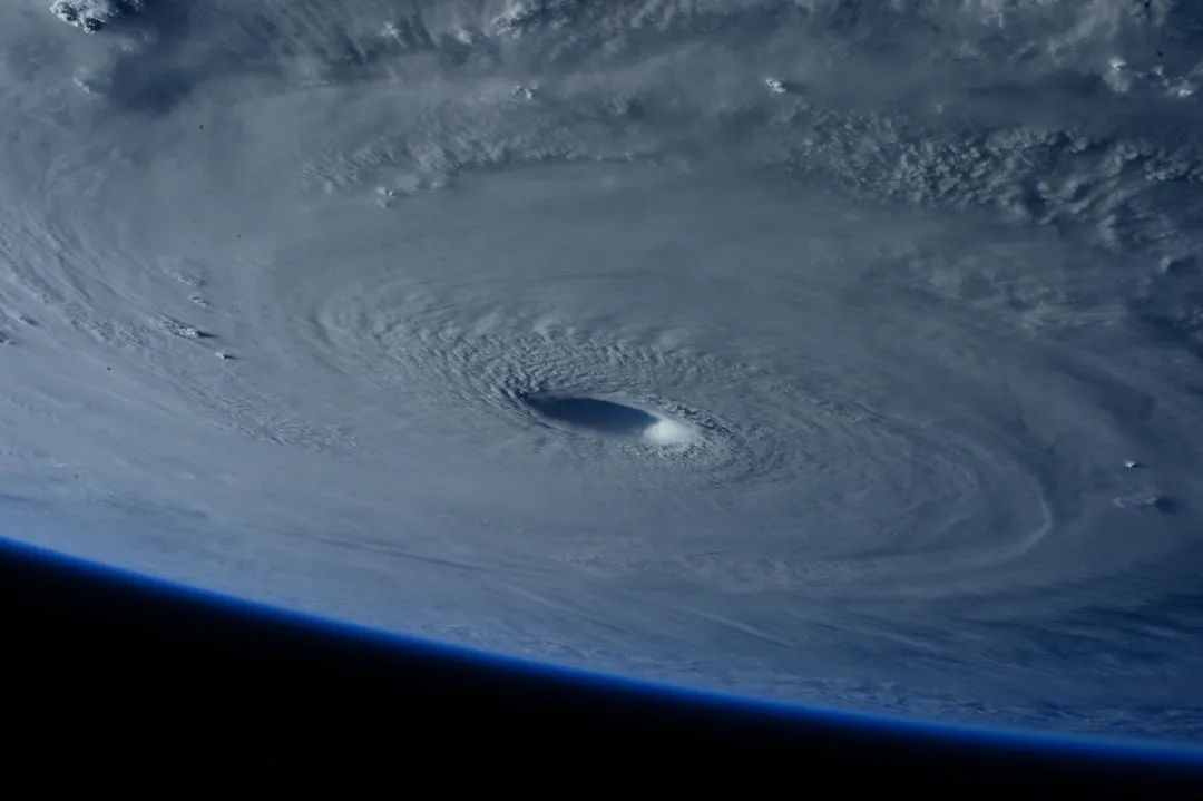
The 2026 hurricane season comes as a genuine reprieve after several intense years for Florida. NOAA has issued its seasonal outlook for the 2026 hurricane season reporting a 55% probability of a below-average season, a prediction primarily driven by a strong El Niño event expected to emerge in the Pacific basin. That is real, measurable good news.
Still, Florida’s beauty has always come packaged with its weather, and the state’s storm history is long enough to counsel consistent respect. That doesn’t mean travelers should let down their guard when visiting Florida and other potentially vulnerable destinations during hurricane season. Plan thoughtfully, stay informed, and let the forecast guide your decisions rather than override them entirely. That balance is really what good Florida travel has always required.
AI Disclaimer: This article was created with the assistance of AI tools and reviewed by a human editor.