
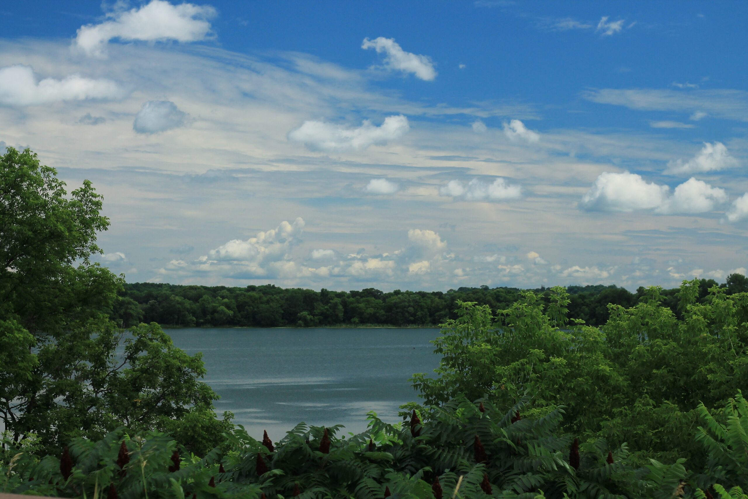

Most people who fly over northern Minnesota see nothing but an endless green carpet of boreal forest interrupted by flashes of silver. Those flashes are the lakes. Hundreds of them, many without names on casual maps, sitting quietly in a landscape that hasn’t changed much since the last glacier retreated roughly ten thousand years ago.
Lake Winnibigoshish in Minnesota is among the cleanest lakes in the United States, which is no small achievement given that it has competition from the rest of Minnesota’s more than ten thousand lakes, not to mention the rest of the country. That kind of distinction tends to draw curious travelers. Still, the broader region where “Winnie” sits, along with Deer Lake, the lakes of Itasca County, and the waterways threading into the Boundary Waters Canoe Area Wilderness, remains largely under the radar of mainstream tourism. That obscurity is part of why the water stays so clean.
The Region at a Glance: Where Exactly Are We Talking About?
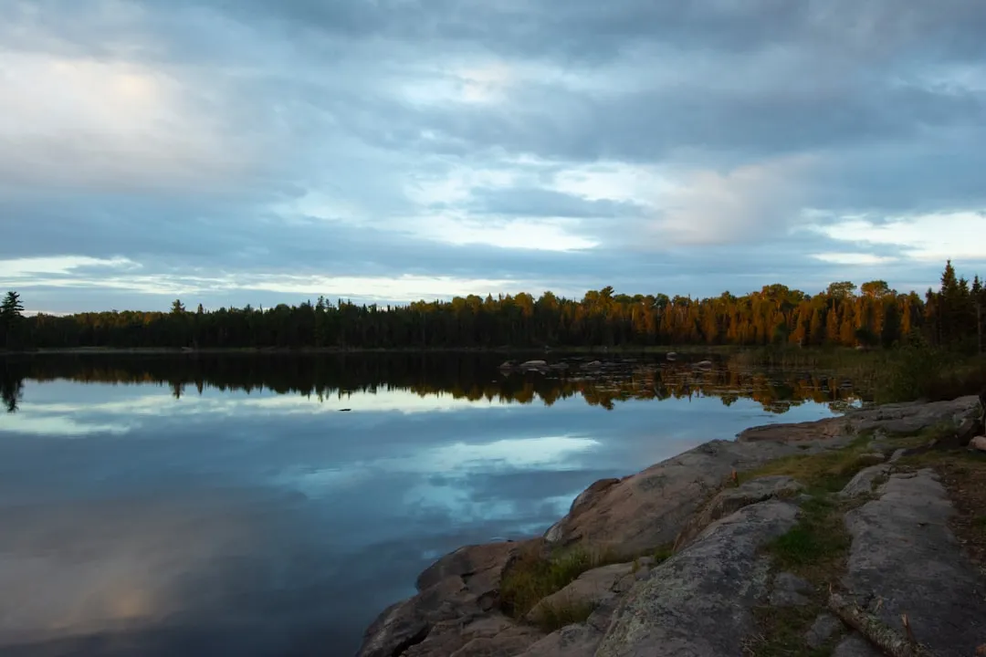
The focus here is north-central and northeastern Minnesota, centered loosely around Itasca County and extending into the Boundary Waters corridor. This is a landscape defined by boreal forest, shallow glacial basins, spring-fed drainage lakes, and some of the least-developed shoreline in the continental United States.
The Boundary Waters Canoe Area Wilderness is located in the northern third of the Superior National Forest. At over one million acres, it extends nearly 150 miles along the international border adjacent to Canada’s Quetico Provincial Park and is bordered on the west by Voyageurs National Park.
The BWCAW contains 1,175 lakes varying in size from 10 to 10,000 acres, more than 1,200 miles of canoe routes, 12 hiking trails, and over 2,000 designated campsites. The sheer scale of the protected landscape is one reason the water quality is so exceptional here.
What “Clean Water” Actually Means: The Science Behind the Score
Water quality isn’t just about how clear a lake looks on a sunny afternoon. Researchers use a combination of specific measurements to assign meaningful grades to individual bodies of water.
Grades are based on water clarity (Secchi depth in feet), phosphorus levels, and chlorophyll-a concentration, using Metropolitan Council standards. A Secchi disk, lowered on a line until it disappears from view, gives scientists a reliable read on light penetration. Lower phosphorus means fewer algae blooms. Less chlorophyll-a means cleaner, clearer water.
The concentration of total phosphorus, chlorophyll, and Secchi depth are the three components used to assess lake trophic status or health. A Secchi disk measures water transparency and indicates the depth of light penetration into a lake. Secchi depth also provides an indirect measure of the amount of suspended material, algae, or sediment in the water.
East Fox Lake: The Cleanest-Rated Lake in the Midwest, Right Here in Minnesota
If you want a single data point that makes the case for Minnesota’s lake region, this is it. Crow Wing County sits at the southern edge of this northern belt, and it holds the top spot on a twelve-state comparison.
The cleanest lake on the index is East Fox Lake in Crow Wing County, Minnesota, earning a Grade A with 16.4 feet of water clarity and phosphorus at 10 µg/L. The rest of the top ten fall in a tight clarity band, with the gap between the first and tenth ranked lakes typically less than three feet of Secchi depth.
Across 5,469 monitored lakes in 12 states, only roughly a quarter earn an A grade for water quality, and about half earn an A or B. The top 50 cleanest lakes in the index draw entirely from Minnesota, with deep, low-nutrient northern waters like Minnesota’s Boundary Waters lakes over-represented at the very top. That’s not a coincidence. It’s geology combined with decades of protective stewardship.
Deer Lake, Itasca County: The Lake That Changes Color
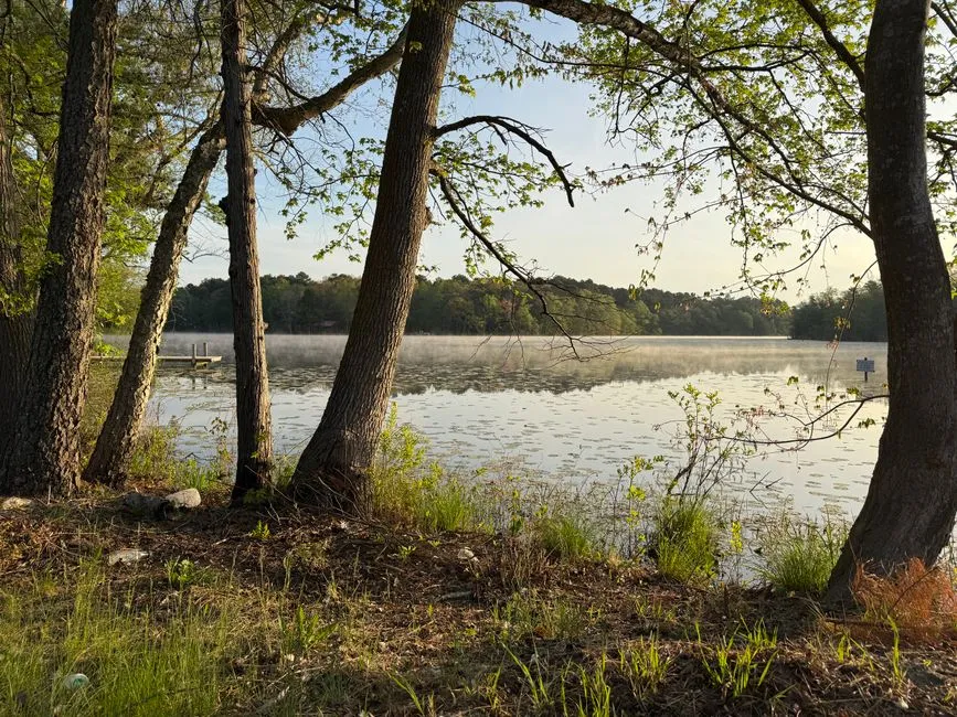
Deer Lake, located in Itasca County north of Grand Rapids, has a loyal following among people who know it well. It’s a large glacial lake, spring-fed and remarkably deep for the region.
Deer Lake covers 4,156 acres and is roughly five miles long and 1.5 miles wide. It is fed by three sources: rainfall, underwater springs, and one inlet from Little Deer Lake. That spring-fed hydrology is a major reason the water stays cold and low in dissolved nutrients year-round.
Often called the “Lake of the Changing Colors,” Deer Lake’s crystal-clear water displays a wide range of magnificent colors on sunny days. Long-term monitoring data show that the lake is oligotrophic, with a trophic state index of 37, maintaining clear water conditions all summer and excellent recreational opportunities. An oligotrophic classification is one of the best water quality designations a lake can receive.
The Boundary Waters: A Wilderness-Scale Filter for Pristine Lakes
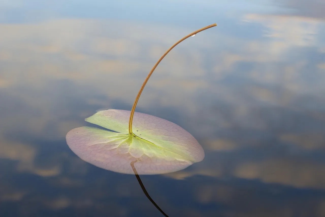
The Boundary Waters lakes aren’t just clean because of geography. They’re clean because the land surrounding them is almost completely free of the agriculture, urban runoff, and development that degrade lake quality elsewhere in the Midwest.
Established in 1964 as federally designated wilderness, the Boundary Waters Canoe Area Wilderness covers over one million acres of rugged and remote boreal forest in the northern third of the Superior National Forest in northeastern Minnesota. Large, intact forests surrounding a watershed act as a natural sponge, absorbing and filtering water before it reaches the lakes.
The BWCAW contains the largest contiguous areas of uncut forest remaining in the eastern United States. That unbroken canopy is one of the region’s most important water quality assets, even if you never think about it while paddling.
Indigenous Stewardship: A Story the Data Doesn’t Always Tell
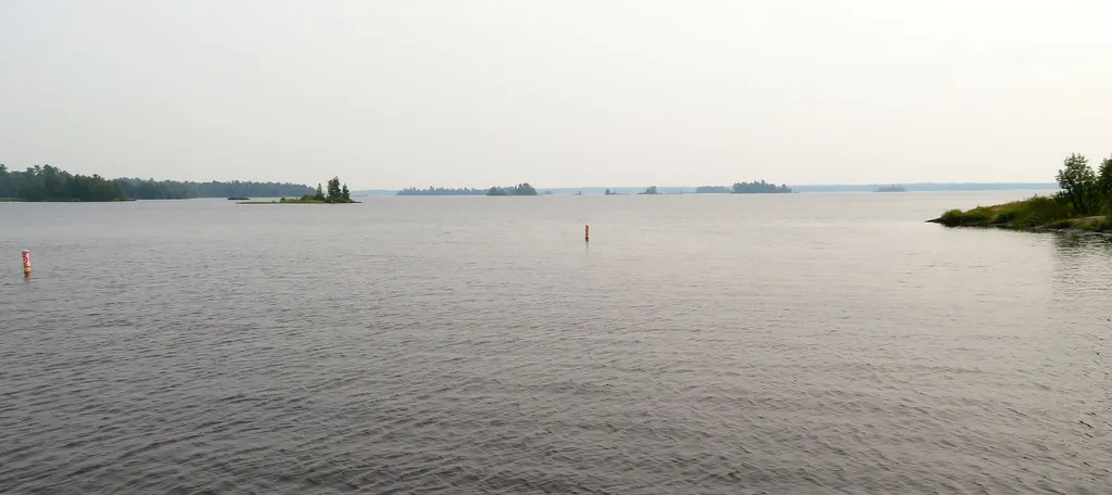
Long before federal wilderness designations were written, the Indigenous nations of this region lived in careful relationship with these waters. Their presence shaped the landscape in ways that modern conservation science is only beginning to fully appreciate.
The entire wilderness lies within 1854 Ceded Territory. Members of the Bois Forte Band of Chippewa, the Fond du Lac Band of Lake Superior Chippewa, and the Grand Portage Band of Lake Superior Chippewa retain the right to hunt, fish, trap, and gather within the Territory in perpetuity.
These sustained relationships with the land reflect a land ethic rooted in thousands of years of knowledge. Traveling through this region means moving through a place that is deeply meaningful to Ojibwe communities, and visiting with that awareness is a form of basic respect.
How Minnesota’s Water Quality Is Actually Trending
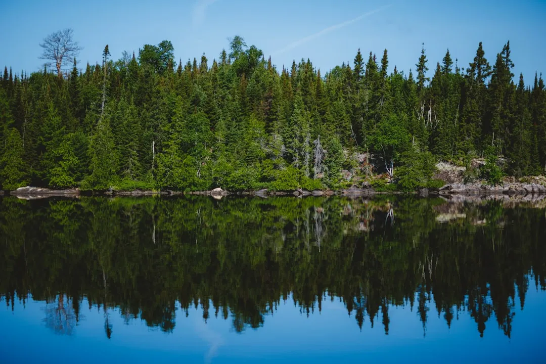
Good news from the data released by state monitoring programs in 2025: the direction of change in Minnesota’s water quality is largely positive. That said, ongoing vigilance is still needed across the state.
Published in September 2025, the MPCA’s “Flowing Forward” report highlights how Minnesota’s waters are changing. Long-term monitoring shows that fish and insect populations in rivers and streams are improving in most regions. Phosphorus levels in major rivers are stabilizing or decreasing, and water clarity in many lakes and streams is also improving, supported by decades of volunteer-collected data.
At the same time, new and persistent challenges such as climate impacts, land use, and pollutants like PFAS require ongoing vigilance. The north’s pristine reputation is earned, but it isn’t a guarantee without continued protection.
The Role of Air Quality in Keeping the Water Clean

One detail that surprises many visitors: the air quality over the Boundary Waters region is directly connected to its water quality. Acid rain and atmospheric deposition have historically threatened clear-water lakes across the Northeast, and the BWCA’s air protections have helped shield it from those effects.
The BWCAW is a Class I air quality area as defined by the Federal Clean Air Act. It is the only wilderness in the country that has an airspace reservation that prohibits flights below 4,000 feet.
This combination of protected air and protected land creates a kind of double insulation for the water. Fewer pollutants fall from the sky, fewer enter from the land, and the lakes reflect that accumulated protection in their exceptional clarity measurements.
The Quiet Threat: Why Local Stewardship Still Matters

Even the cleanest lakes aren’t immune to local pressures. Water quality monitoring on Deer Lake illustrates how even a well-protected, spring-fed system can show stress when shoreline development and septic systems are not managed carefully.
Over roughly the past decade, from 2015 to 2022, water clarity on Deer Lake decreased by an average of between 5 to 14 inches annually, resulting in a total clarity loss of around 3 to 8 feet. That’s a meaningful shift in a lake celebrated for its crystal visibility.
The Deer Lake Association has been active in responding to these trends, working with county officials and lakeshore residents on septic inspections and shoreline buffer management. Their work is a useful model for what community-level stewardship looks like in practice, and a reminder that clean water requires more than just a remote location.
Bearskin Lake: The Lake That Helped Set the National Standard

Among the many remarkable lakes in this region, one stands apart for a reason most visitors would never guess. Bearskin Lake, located between Lake Superior and the Boundary Waters, occupies a singular place in American environmental science.
Bearskin Lake is located in northern Minnesota between Lake Superior and the Boundary Waters Canoe Area Wilderness. The lake is so clean that it serves as a control sediment in the federal government’s toxicity tests and was used to develop the U.S. EPA’s toxicity testing methods.
That is a rare distinction. When scientists need a baseline, a reference point for what “clean” actually looks like in freshwater ecology, they’ve used this Minnesota lake. That says something about the region that no tourism brochure ever quite captures.
Visiting Responsibly: How to Experience This Region Without Diminishing It
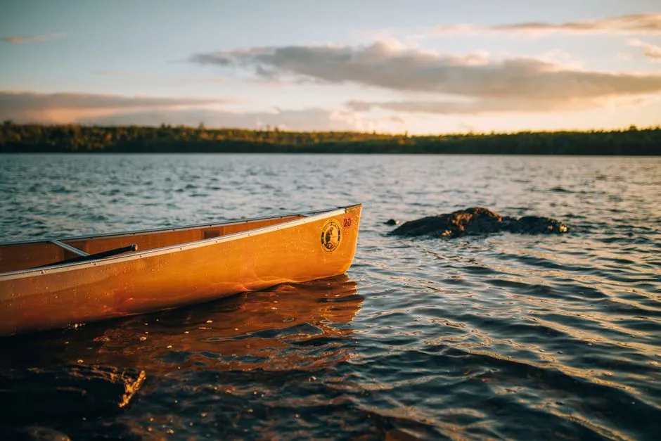
The north Minnesota lake region rewards travelers who approach it slowly and thoughtfully. A canoe trip into the Boundary Waters, a quiet morning on Deer Lake, a sunset paddle on Winnibigoshish: these experiences depend entirely on the water staying clean, which means visitors carry a real responsibility.
Visitors can connect with the wilderness on some 1,200 miles of canoe and kayak routes, more than 230 miles of overnight hiking trails, and 2,000 primitive campsites. Entry into the BWCAW requires a permit, which helps manage the number of visitors and reduces impact on the ecosystem.
Pack out everything you carry in. Use established campsites. Follow Leave No Trace principles not as a bureaucratic requirement but as an expression of genuine care for a place that takes decades or centuries to recover from damage. Protections here are threatened by sulfide-ore copper mining, which risks polluting these waters, and once damaged, they can never fully be restored. Traveling responsibly is one of the small ways visitors add their weight to the side of protection rather than harm.
The Takeaway: A Region That Earns Its Reputation
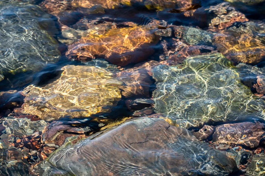
The clean water of northern Minnesota is not an accident. It’s the product of ancient geology, a largely intact boreal forest, federal wilderness protections, Indigenous land stewardship, Class I air quality designations, and the steady work of lake associations and monitoring programs running sometimes for decades.
All water quality grades in the major lake indexes come from EPA National Aquatic Resource Surveys and state monitoring programs, including the Minnesota Pollution Control Agency. The data is real, the measurements are rigorous, and the results consistently place this region at or near the top of every Midwest water quality comparison.
What makes this lake region genuinely special isn’t just the clarity of the water, though that clarity is extraordinary. It’s the fact that this level of quality is fragile, hard-won, and dependent on choices made every day by the people who live near it and visit it. Come to paddle, fish, or simply sit with the silence. Just bring the understanding that places like this exist because many people over many years decided they were worth protecting.
AI Disclaimer: This article was created with the assistance of AI tools and reviewed by a human editor.