
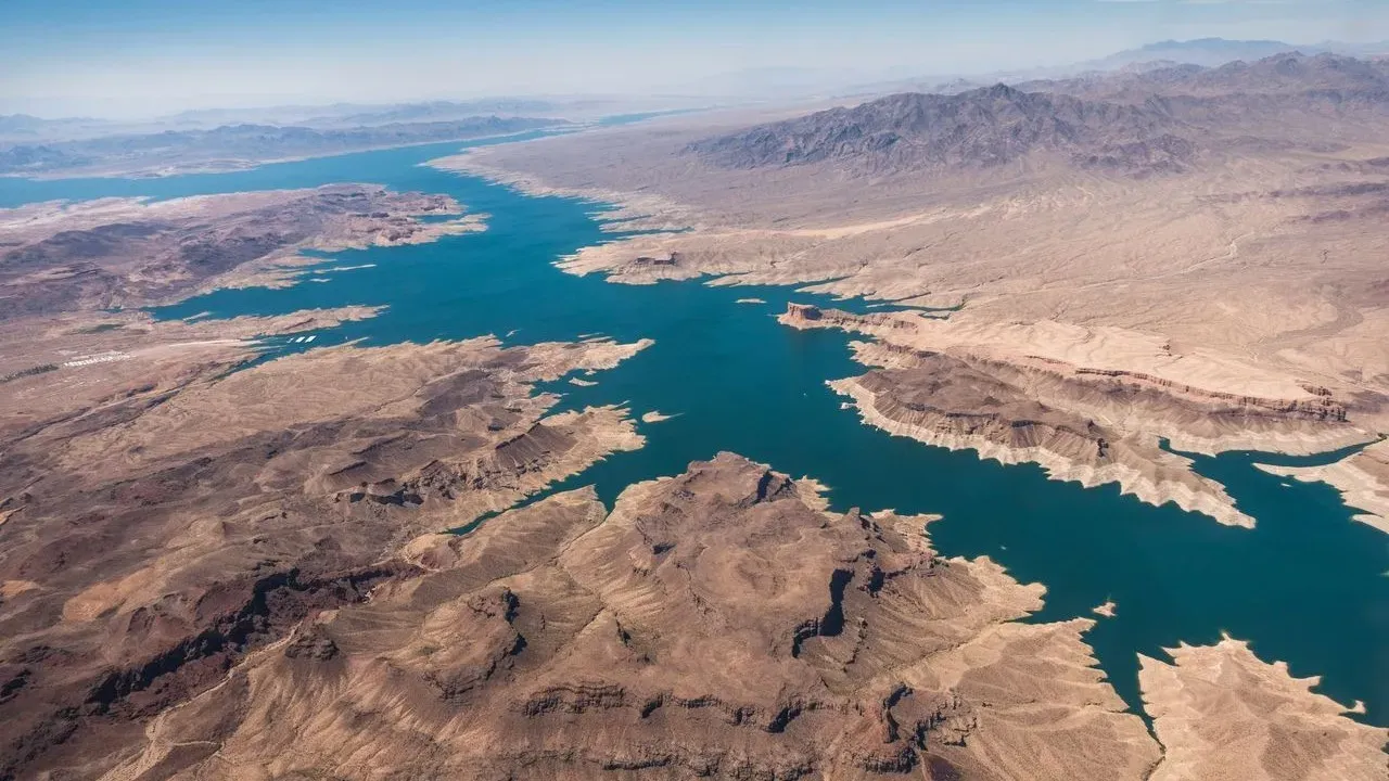

Travelers drawn to the American West often find themselves standing at the edge of vast waters that have long defined the region. Lake Mead and Lake Powell, the country’s two largest reservoirs, sit along the Colorado River and continue to shape both the landscape and the journeys of those who visit. Recent satellite comparisons now make visible the extent of change these bodies of water have undergone, offering a new layer to the experience of anyone planning time on their shores.
The Enduring Place of the Colorado River
The Colorado River serves as a central lifeline across the American West, supporting communities, agriculture, and ecosystems that stretch for hundreds of miles. Lake Mead and Lake Powell stand as its most prominent reservoirs, created to store water and generate power while also providing space for recreation. Their scale and setting have made them destinations where visitors return year after year to boat, camp, and explore the surrounding desert terrain.
These reservoirs hold more than water. They anchor a sense of place for people who have lived along the river for generations and for newcomers discovering its canyons and open skies. The river’s flow connects distant regions, reminding travelers of the shared resources that sustain life in arid country.
What Satellite Comparisons Reveal
Side-by-side satellite images taken over time show clear differences in the surface area and shoreline of both lakes. The most recent views place water levels at record lows, a development that has altered the visible footprint of each reservoir. These images provide an objective record of how the landscape appears from above, allowing anyone to observe the shift without needing to be on site.
The changes captured in the photos reflect broader patterns along the Colorado River system. Viewers can trace the retreat of the waterline and the emergence of previously submerged landforms. Such documentation adds a temporal dimension to visits, inviting travelers to consider how the scene they encounter today fits into a longer story of the river.
Planning a Visit Amid Visible Change
Those preparing trips to Lake Mead or Lake Powell will find that the reservoirs remain accessible and striking, even as their water levels fluctuate. Boating routes may require updated charts, and some shoreline access points have shifted, yet the core appeal of wide horizons and dramatic canyon walls persists. Houseboating and kayaking continue to draw enthusiasts who appreciate the quiet expanses and the chance to witness geology up close.
National park areas surrounding the lakes offer additional ways to experience the region on foot or by vehicle. Trails lead to overlooks where the altered waterline becomes part of the view rather than a barrier. Visitors often report that the changing conditions prompt thoughtful conversations about water use and conservation during their stays.
Traveling Responsibly at These Reservoirs
Approaching Lake Mead and Lake Powell with care enhances both the journey and the places themselves. Simple practices make a difference:
- Check current water levels and access updates before departure so plans align with present conditions.
- Pack out all waste and follow leave-no-trace principles to protect the desert shoreline.
- Choose operators and outfitters who prioritize low-impact operations on the water.
- Learn about the river’s role in the region through local visitor centers to deepen appreciation for its history and ongoing importance.
These steps allow travelers to enjoy the reservoirs while contributing to their long-term health.
The satellite record of Lake Mead and Lake Powell invites a quiet reflection on how landscapes evolve and how people continue to find meaning in them. For those who make the journey, the experience remains one of scale, light, and the steady presence of the Colorado River itself.
AI Disclaimer: This article was created with the assistance of AI tools and reviewed by a human editor.