
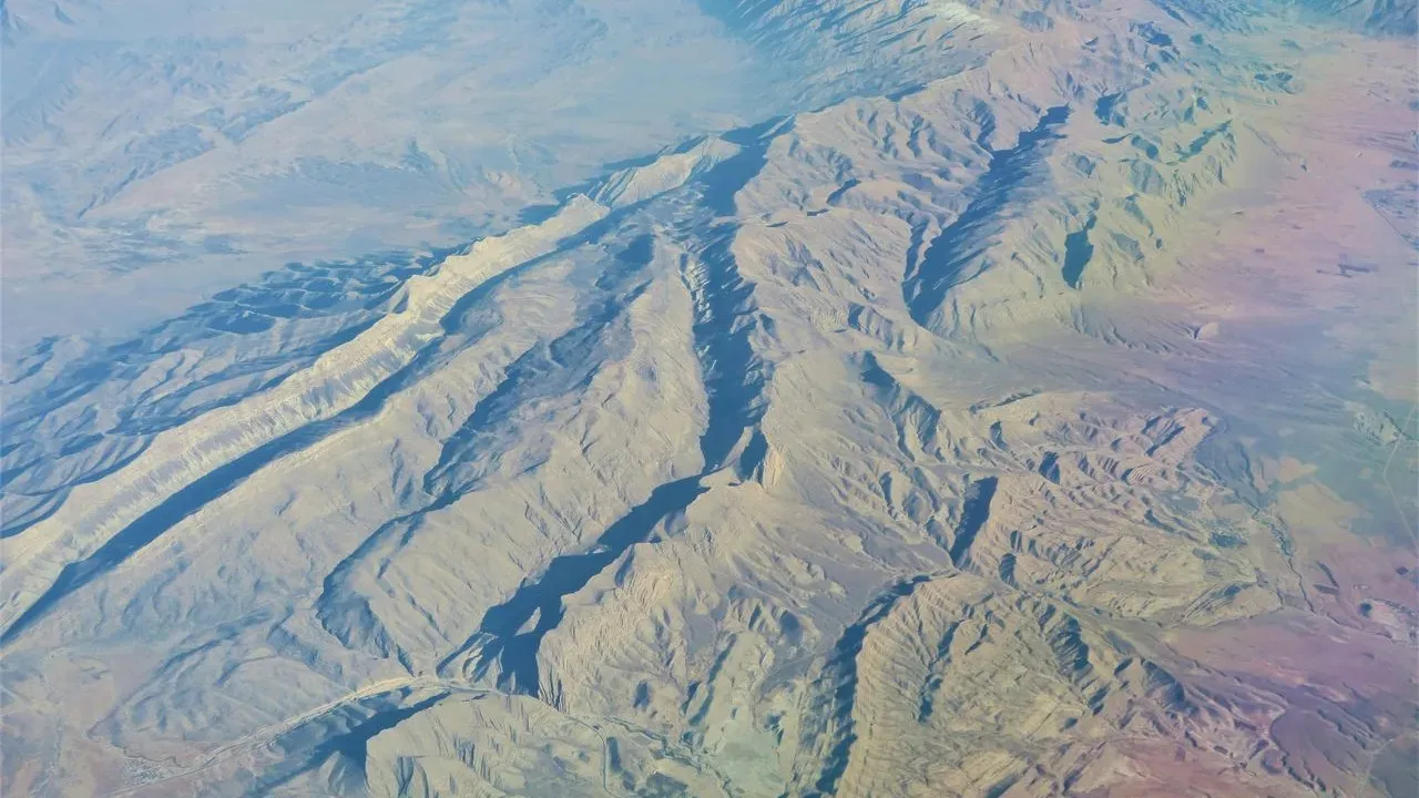

New research from San Jose State University suggests the San Andreas Fault has been moving at a steadier and somewhat faster rate than earlier estimates indicated over the past 10,000 years. The findings come from careful study of preserved landforms and add a layer of fascination for anyone drawn to California’s dramatic geology. Rather than framing the fault solely as a hazard, the work invites a deeper appreciation for one of the continent’s most accessible examples of active plate-boundary landscape.
The Science Behind the Slip Rate
Professor Kim Blisniuk and colleagues examined offset features at Sanborn County Park that record multiple past earthquakes. Their analysis shows the fault’s movement has remained relatively constant across that long window, aligning more closely with rates measured farther north along the same system. Because the study has not yet undergone peer review, the precise numbers remain preliminary, yet the core observation – that slip appears consistent rather than decreasing – offers a clearer picture of how this section of the fault behaves over time. Travelers who visit these landscapes can stand on the very features the researchers measured. The visible offset streams, ridges, and terraces make the abstract idea of plate motion tangible in a way few other places allow.
Carrizo Plain National Monument: Where the Fault Cuts Across Open Country
In the Carrizo Plain, the San Andreas Fault traces a remarkably straight line across the valley floor, creating a subtle yet unmistakable scarp that runs for miles. Wallace Creek offers one of the clearest demonstrations of lateral offset anywhere along the fault; a stream channel has been shifted nearly 40 feet in a single event, with cumulative displacement visible across successive terraces. Visitors arrive to wide skies, seasonal wildflower displays in spring, and the quiet presence of the Temblor Range rising to the east. The monument’s remote setting encourages slow exploration on foot or by car along Soda Lake Road, where interpretive signs explain the geology without overwhelming the sense of scale. Responsible travelers pack out all waste, stay on designated paths, and time visits to avoid disturbing nesting birds or sensitive habitats.
Parkfield: A Small Town on the Fault’s Most Studied Stretch
Farther north, the tiny community of Parkfield sits directly astride the fault and has hosted continuous monitoring for decades. The landscape here shows gentle folds and linear features that mark repeated movement. A short drive or walk along the fault trace reveals how the ground has adjusted over centuries, with offset fences and roads serving as quiet reminders of ongoing adjustment.
The area’s rural character makes it ideal for reflective travel. Local lodging remains modest, supporting nearby ranching families while giving visitors a chance to experience the Central Coast’s slower rhythm. Many who come combine a fault visit with nearby wine country or coastal drives, creating itineraries that balance curiosity about the earth with appreciation for the communities that call this dynamic region home.
Practical Ways to Experience the Fault Responsibly
Several straightforward approaches help travelers engage with these sites thoughtfully. Begin with maps from the U.S. Geological Survey or California Geological Survey to locate accessible segments. Combine a visit with a stop at a visitor center or museum that presents the science in context, reinforcing that preparation and awareness coexist with wonder.
– Choose shoulder seasons when possible to reduce pressure on fragile soils and wildlife.
– Support local businesses that emphasize low-impact practices.
– Carry water, sun protection, and a basic understanding of Leave No Trace principles.
– Consider joining a guided geology walk led by knowledgeable naturalists when available.
These steps turn a simple outing into a contribution to the places that make such experiences possible. The new measurements from San Jose State University remind us that the San Andreas Fault continues its patient work beneath the surface, shaping the very ground visitors walk upon. Standing at Wallace Creek or along the Carrizo Plain trace, travelers gain a rare, grounded sense of deep time and the quiet forces that continue to sculpt California.
AI Disclaimer: This article was created with the assistance of AI tools and reviewed by a human editor.