

A Scale That Defies Easy Comparison
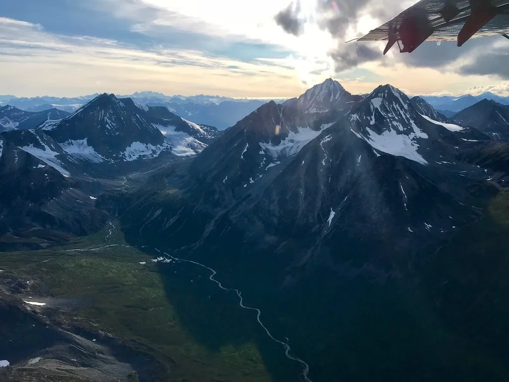
At 13.2 million acres, Wrangell-St. Elias is the same size as Yellowstone National Park, Yosemite National Park, and Switzerland combined. That figure takes a moment to absorb. It is larger than nine U.S. states, including the entire country of Switzerland, and bigger than Yellowstone, Yosemite, and Grand Canyon combined.
Wrangell-St. Elias alone covers more than 20,000 square miles. For New England context, Connecticut covers roughly 5,500 square miles, making this single park nearly four times the size of that entire state. Katmai National Park in Alaska, to offer another comparison, covers approximately 6,395 square miles, which is already larger than Connecticut, Delaware, and Rhode Island.
How It Became a National Park
On November 16, 1978, Wrangell-St. Elias was first created as a national monument, and on December 2, 1980, the monument was changed to a national park by the Alaska National Interest Lands Conservation Act. That same legislation transformed several other Alaskan wilderness areas into protected parks simultaneously.
In 1979, Wrangell-St. Elias, along with Glacier Bay National Park and Kluane National Park and Tatshenshini-Alsek Provincial Park in Canada, was named a UNESCO World Heritage Site. This cross-border designation recognized the region as one of the most significant intact wilderness ecosystems on the planet.
Mountains on a Monumental Scale
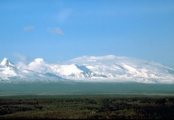
The park’s name comes from the towering Mount St. Elias, more than 18,000 feet above sea level, and Mount Wrangell, a shield volcano. Nine of the top sixteen peaks in the United States gather here where three mountain ranges meet.
Mount Wrangell, at 14,163 feet, is one of the largest active volcanoes in North America. The sheer concentration of extreme peaks within one boundary is unlike anywhere else in the U.S. national park system. Within the park’s confines are parts of four mountain ranges with nine of the tallest mountains in the country, and the park includes 25 percent more mountains than all of Switzerland.
A World of Ice
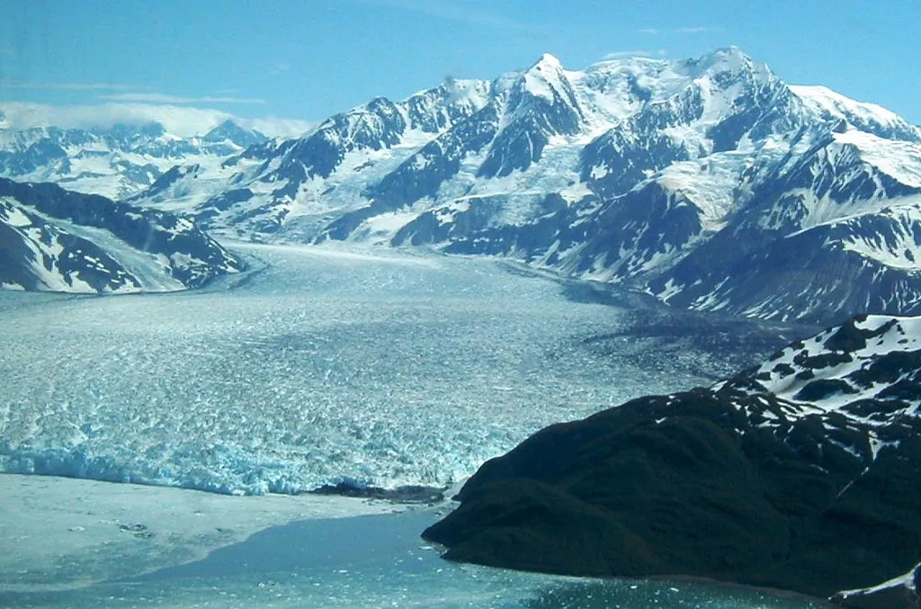
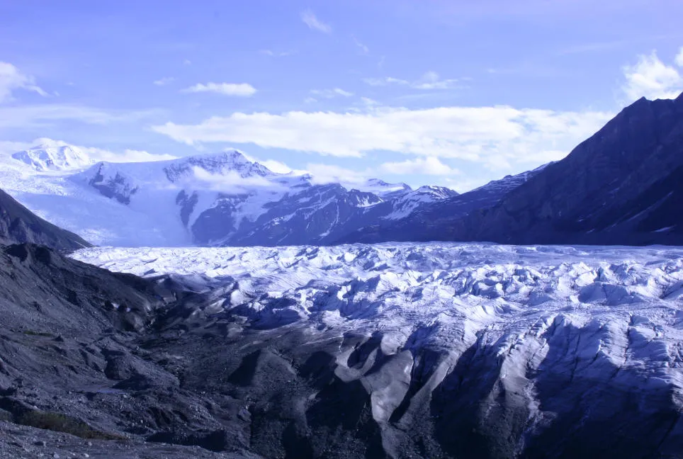
Spanning over 20,000 square miles, Wrangell-St. Elias includes four mountain ranges, thousands of miles of glaciers, and the largest icefield in North America. That’s not a regional superlative. That’s a continental one.
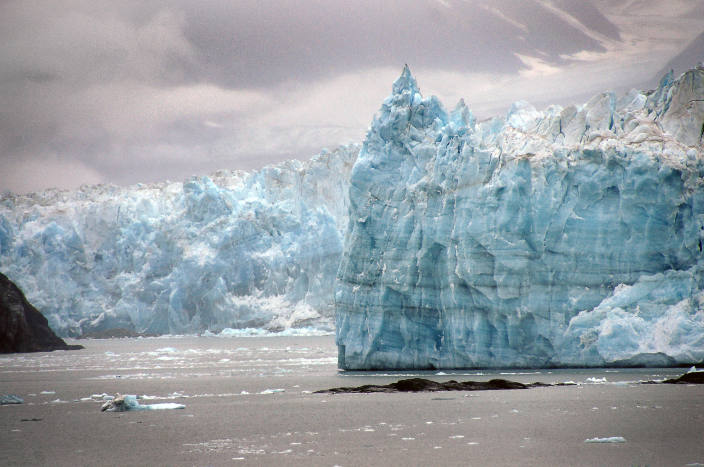
There is a single piedmont glacier, Malaspina, that alone is the size of Yellowstone. Hubbard Glacier, a tidewater glacier reaching all the way to the ocean, is the longest tidewater glacier in Alaska at 76 miles from its snout to its end. These are not features you visit easily, which is exactly why they remain so pristine.
The Land’s Indigenous Roots
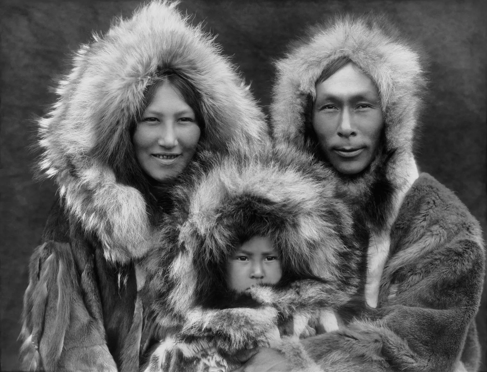
Long before copper mines or backcountry expeditions, the Indigenous peoples of the Wrangell Mountains moved across this land with deep knowledge and connection. The Ahtna Athabascan people have lived in this region for thousands of years, navigating the rivers, glaciers, and forests that are still central to life in the area.
The land remains the traditional and present-day homeland of the Ahtna, Eyak, Tlingit, and Upper Tanana peoples. Visiting with that awareness matters. Within this wild landscape, people continue to live off the land as they have done for centuries. Their relationship with this place predates any boundary drawn on any map.
The Kennecott Copper Story

After copper was discovered in the area in 1900, a group of wealthy investors formed the Kennecott Copper Corporation, named when a clerical worker misspelled “Kennicott.” The operation that followed was one of the most ambitious industrial ventures in early Alaskan history.
The Kennecott story is outsized: early 20th-century exploration, engineering innovation, and a full company town that produced nearly $200 million in copper between 1911 and 1938. A number of the buildings from that era still stand in both Kennicott and McCarthy, making the area the best remaining example of early 20th-century copper mining.
McCarthy: The Town That Time Preserved
Since no gambling or drinking were allowed at the company town, the town of McCarthy quickly sprang up nearby as a place where miners would find entertainment in its saloons, restaurants, hotels, and pool halls. Today, McCarthy is a tiny community that serves as the human heartbeat of an otherwise nearly roadless park.
In McCarthy and Kennicott, visitors can take guided tours of the Kennicott Mill Town, attend ranger talks, or explore the McCarthy-Kennicott Historical Museum, which offers a self-guided walking tour. The Copper River and Northwestern Railway once connected the port town of Cordova to the Kennecott copper mines, hauling ore across glaciers, rivers, and rugged terrain between 1911 and 1938.
Getting There Is Part of the Journey
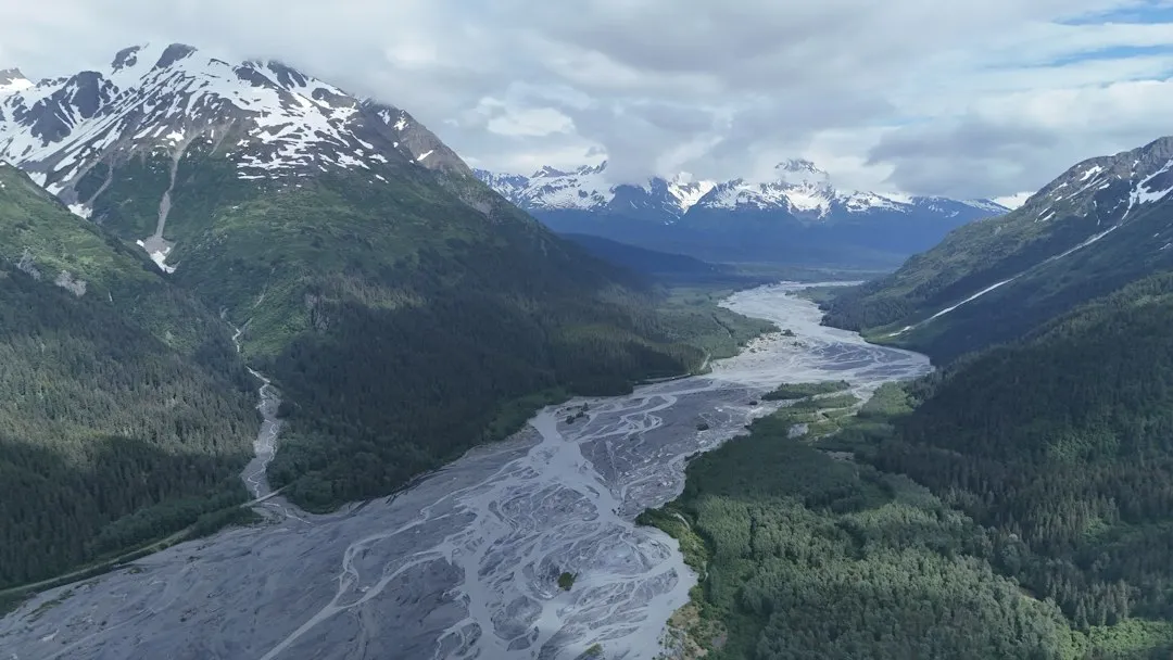
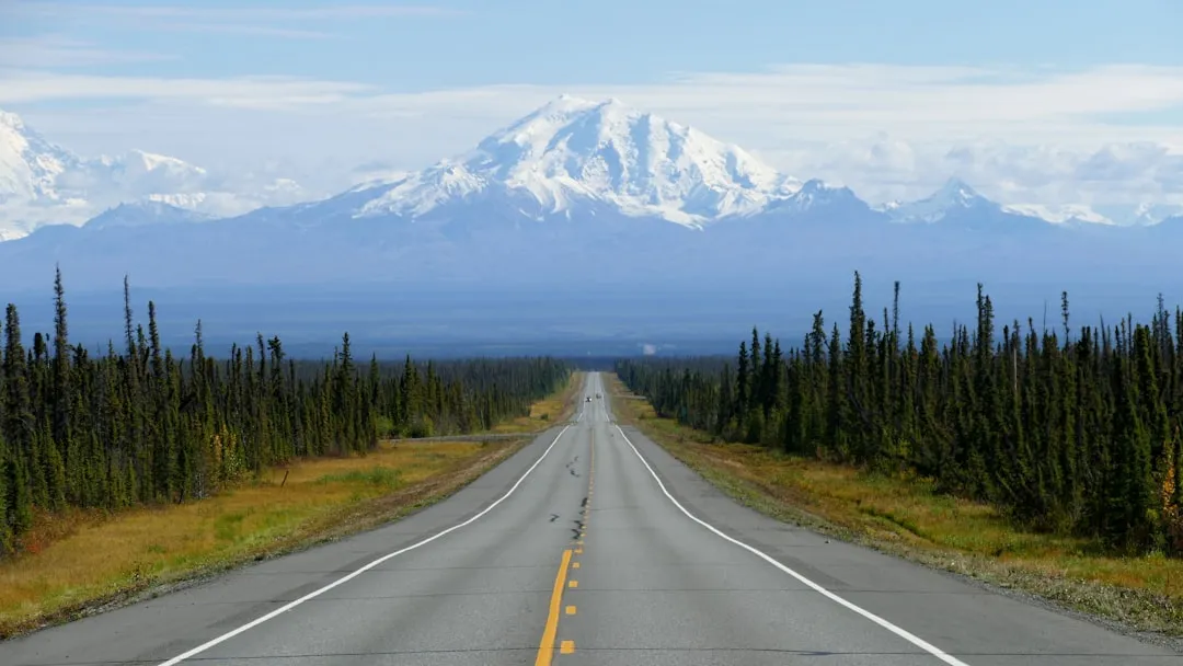
Most of the park is roadless wilderness reachable only by bush plane or two gravel roads. That’s not a small detail. For the majority of the park’s 13.2 million acres, there are simply no roads at all. Wrangell-St. Elias National Park is located in southcentral Alaska, about four hours from Anchorage.
Two largely gravel roads provide the only ground access, and the degree of difficulty ranges from doable to treacherous, depending on weather, mudslides, and road maintenance. On the north side of the park, the 42-mile Nabesna Road travels through lands traditionally used by Upper Tanana Athabascan people, passing lakes, volcano views, wildlife habitat, and trailheads.
One of America’s Least Visited Parks
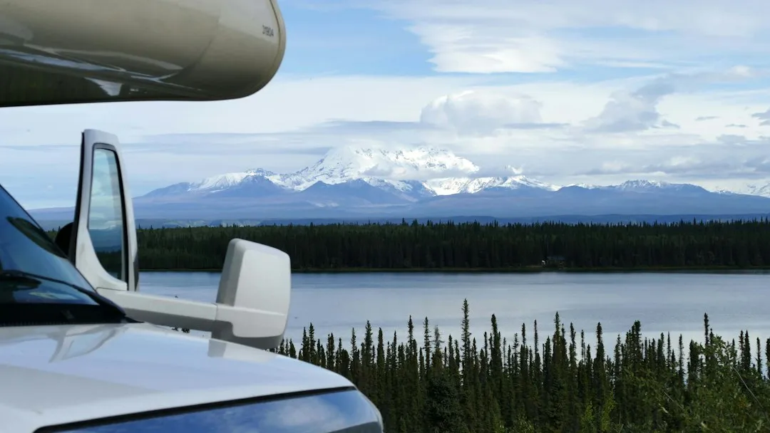
According to Wikipedia, drawing on NPS data, Wrangell-St. Elias received 108,840 visitors in 2025. Compare that to the millions who visit Yellowstone or the Great Smoky Mountains each year, and the contrast is striking. The park’s remoteness is its greatest preservation tool.
The relative quiet here is not a flaw but a feature. There is no entrance fee for Wrangell-St. Elias National Park. Visitors who do make the journey find opportunities for hiking, camping, rafting, glacier trekking, wildlife viewing, and stepping back in time into Alaska’s mining history. The park rewards the effort of arrival generously.
Wildlife Across an Untamed Ecosystem
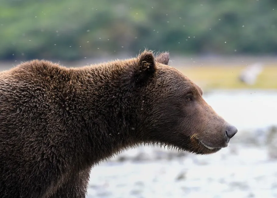
The park’s landscape includes mountains, valleys, glaciers, and fjords, as well as a variety of wildlife, including bears, moose, caribou, and wolves. The sheer expanse of the terrain means animals move across it much as they have for millennia, without the pressures that fragment wildlife corridors in smaller, more visited parks.
The park’s footprint nearly encapsulates the entire 43,440-square-mile Saint Elias mountain range, and stretches out to Yakutat Bay, the Tongass National Forest, and the Gulf of Alaska. That ecological reach, from ocean to summit, creates a richness of habitat that few protected areas anywhere in the world can claim. The Pacific Plate is colliding with the North American Plate here at a rate of roughly 2 to 2.5 inches per year, the slow-motion geological process that keeps building these mountains higher.
A Quiet Case for Going
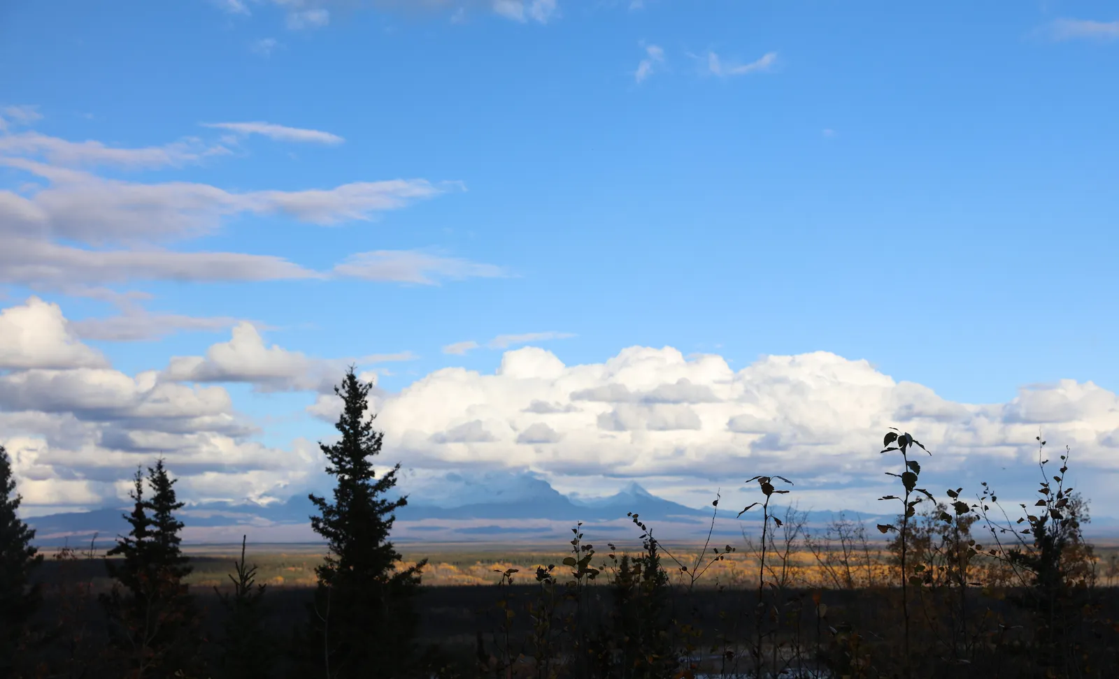
There’s something worth sitting with here. Wrangell-St. Elias is not just large in the way statistics are large. It is large in the way that changes how you think about wilderness. Most of it will never be seen by human eyes in a given year. Most of its glaciers will calve without a single witness. Most of its peaks will see only clouds.
That kind of scale is increasingly rare. Wrangell-St. Elias is by far the largest national park in the United States. At over 13 million acres, it is nearly six times the size of Yellowstone, a huge national park itself. If you’ve ever wanted to feel genuinely small in the best possible way, this is the place to go.
AI Disclaimer: This article was created with the assistance of AI tools and reviewed by a human editor.