


What the International Date Line Actually Is

The International Date Line (IDL) is the boundary between one calendar day and the next, extending between the South and North Poles, passing through the Pacific Ocean and roughly following the 180-degree line of longitude while deviating to pass around certain territories and island groups.
Crossing the date line eastbound decreases the date by one day, while crossing it westbound increases the date. In practice, this means a traveler flying from Los Angeles to Tokyo can depart on a Monday and land on a Wednesday, even though the flight takes only around eleven hours.
The line is a cartographic convention, not defined by international law, which has made it difficult for cartographers to agree on its precise course and has allowed countries through whose waters it passes to move it at times for their own convenience.
The 1884 Conference That Set It All in Motion

In 1884, during the International Meridian Conference in Washington D.C., the Prime Meridian at 0 degrees longitude was established at Greenwich, England, and the IDL was set roughly at 180 degrees longitude on the opposite side of the Earth, where time resets to coordinate with the Prime Meridian.
The concept of the International Date Line had actually emerged much earlier, with the advancement of global exploration in the 16th and 17th centuries, when sailors circumnavigating the globe noticed that they gained or lost a day depending on the direction of travel, creating a need for a designated line to resolve that discrepancy.
Though initially set up in 1884 and theoretically opposite from the Prime Meridian, there is really no single body that regulates who falls behind and ahead of the International Date Line. That absence of a governing authority is precisely why the line’s shape has remained so negotiable ever since.
The Core Reason It Bends: Keeping Nations on One Day
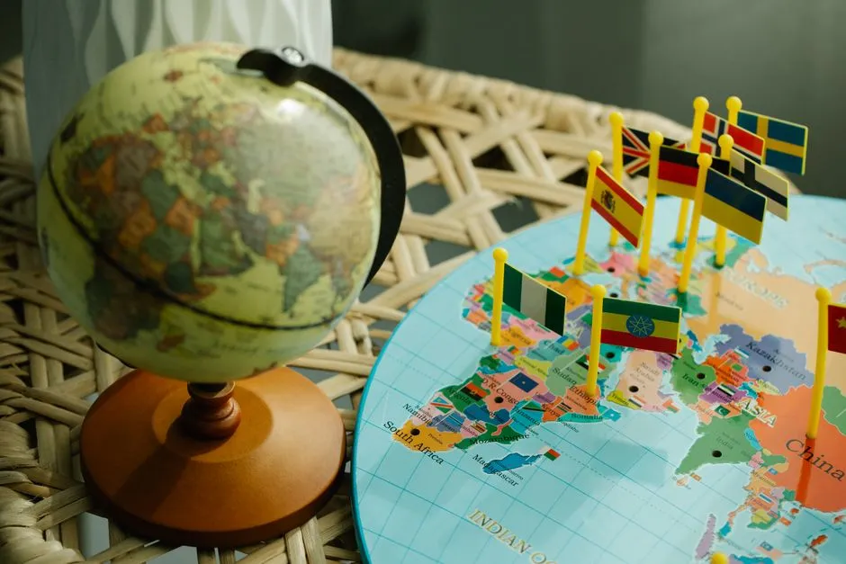
The International Date Line isn’t straight because it zigzags to avoid splitting countries and islands into different calendar days, keeping local time and dates consistent within political and cultural boundaries.
Simply drawing a straight line down the 180-degree meridian would bisect numerous countries and island chains, creating significant confusion and disrupting daily life. Imagine half of a nation conducting business on one date while the other half is a day behind.
Since its inception, the IDL has undergone several major deviations, and it now swerves, zigzags, and jogs in a seemingly arbitrary pattern around prominent landmasses and certain Pacific islands, with most of these deviations resulting from practical considerations such as avoiding splitting a country into two time zones, or for political and economic reasons.
The Bering Strait: Where Russia and Alaska Almost Share a Day

The line is not straight but curves around landmasses and national borders. For example, it leans toward the east at the Bering Strait between Asia and North America, leaving Cape Dezhnev in Siberia, Russia, a day ahead of Cape Prince of Wales in Alaska, even though they are only about 80 kilometers apart.
Along its northern path, the line corresponds to the 180th meridian of longitude but deviates eastward through the Bering Strait to avoid dividing Siberia, and then deviates westward to include the Aleutian Islands with Alaska.
The result is a striking geographical quirk. Two points of land that you can nearly see across the water from one another exist on entirely different calendar days. It’s one of the clearest illustrations of how the line serves political logic, not geographical tidiness.
Kiribati’s 1995 Decision: Creating a New Time Zone

When the Republic of Kiribati was founded in 1979, it had three time zones, with the Gilbert Islands to the west of the international dateline and the Phoenix and Line Islands to the east of it, meaning the Gilbert Islands were nearly a full day ahead of the eastern islands.
On New Year’s Day 1995, Kiribati declared that it was adding a huge eastward bulge to its section of the dateline so all 33 of its islands would have the same date. Before this change, government offices on opposite sides of the line could only communicate by radio or telephone on the four days of the week when both sides experienced weekdays simultaneously.
The revision of Kiribati’s time zone meant that the international date line in effect moved roughly 1,000 kilometers eastward to go around this country. This created UTC+14, the world’s most ahead time zone.
Samoa’s 2011 Leap: Skipping an Entire Day

In December 2011, Samoa decided to jump the line overnight, skipping December 30 entirely to align its weekdays with Australia and New Zealand, its biggest trade partners.
In order to improve trade and travel connections with New Zealand and Australia, it was decided to move the islands to the Asian side of the International Date Line, put into effect by announcing that Thursday, December 29, 2011, would be followed by Saturday, December 31, 2011.
When Samoa changed sides, it became one of the first places on Earth to greet the new day, while American Samoa, just 80 kilometers away, remained almost a full day behind. Two neighboring islands, separated by a short stretch of ocean, now live on opposite sides of the calendar. It’s hard to think of a better example of how human decisions shape the geography of time.
No International Law Governs the Line

Even today, the IDL is not a matter of international law, nor is it enforced by the dictates of an international governing board. It is accepted by all nations and has been adopted because it is crucial for global interconnectivity, instantaneous communication, time measurement, and consistent international databases.
These deviations are not regulated by any international treaty or organization. No governing body owns the date line. Countries near 180 degrees longitude simply choose which side they want to be on, and mapmakers adjust the line accordingly.
Each country may decide which side of the line to place itself on, which is why the IDL is not a straight line but bends around island nations and territories. The line is, in effect, a product of ongoing consensus rather than any fixed authority.
Aviation, Shipping, and the Digital Age Still Need It

A straight Date Line would create headaches for airlines, shipping routes, and even data centers. Imagine an airplane flying over islands that technically switch dates mid-flight. A curved line prevents confusion, keeping air and sea navigation simpler.
The irregular shape also helps digital systems that rely on synchronized timestamps. Global companies, from satellite networks to finance hubs, benefit when local regions share the same day. That’s why governments maintain the bends, even in the age of internet precision.
Modern logistics, from container shipping timetables to international banking cut-off times, depends on predictable, unified dates within a given territory. The IDL’s curves are, in a very real sense, practical infrastructure as much as they are cartographic convention.
The Fiji Exception and the 180-Degree Curiosity

The midway point of the line actually crosses very few bits of land. Three islands that are part of Fiji, namely Vanua Levu, Rambi, and Taveuni, are the only islands actually crossed by the 180-degree line, according to the Royal Observatory in Greenwich.
South of the equator, another eastward deviation allows certain island groups to have the same day as New Zealand. Tonga also benefits from this arrangement, keeping its calendar aligned with its closest regional neighbors and economic partners to the south and west.
The fact that so little land sits directly on the 180th meridian is partly why the line’s deviations are so extensive in the southern Pacific. The ocean swallows the geometry, leaving room for political negotiation to fill the gaps.
How Maps Still Get It Wrong

Since the Kiribati, Samoa, and Tokelau adjustments of the International Date Line, many mapmakers and chart publishers still publish maps and atlases which depict the former location of the International Date Line. This means a significant portion of printed world maps in circulation today are quietly out of date on one of geography’s most dynamic boundaries.
The International Date Line’s longitude varies since it is not a straight line and does not follow a single longitude. However, the proposed International Date Line longitude is 180 degrees, and this is the position it reverts to when it is not shifting to accommodate a country.
For travelers, students, and planners alike, the takeaway is worth keeping in mind: the map you’re looking at may not reflect the current reality. In a world of constant GPS updates, the humble International Date Line still manages to catch people off guard.
The Deeper Story the Line Tells

Few features of the world map are as instructive about human nature as the IDL. It begins as a mathematical concept, a clean line at 180 degrees, and ends up as something far messier and more interesting: a record of negotiations, trade pressures, island identities, and the quiet power of small nations to rewrite their own relationship with time.
There is no official international organization that enforces the line’s shape. Changes occur through national declarations, not global votes. That freedom has produced the zigzag we see today, and there is every reason to think it will continue shifting as island economies evolve and regional relationships deepen.
The International Date Line isn’t broken. It was never meant to be a ruler. It was meant to work for the people who live near it, and in that sense, it does exactly what it’s supposed to do. The bends are the point.
AI Disclaimer: This article was created with the assistance of AI tools and reviewed by a human editor.