

The Bridge Never Sleeps
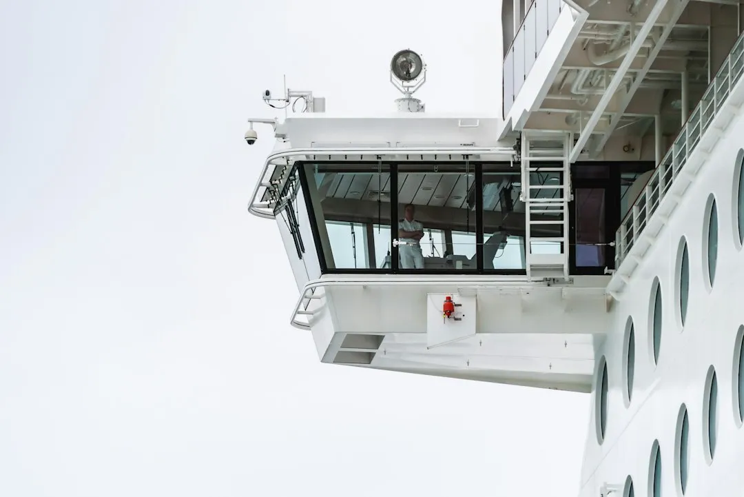
For twenty-four hours each day, the bridge is occupied by two Deck Officers and two Able Seamen, traditionally in four-hour shifts. This constant rotation ensures that someone with full situational awareness is always monitoring weather, traffic, and the ship’s systems. The main job of the Officer of the Watch is to monitor the ship’s systems and surroundings; during extreme weather, docking, or other special cases, the captain is also present on the bridge to guide the deck officers.
The bridge of a ship functions as the command center where officers steer and navigate the vessel, monitoring the ship’s course, speed, weather conditions, nearby traffic, and safety systems. It is a collaborative workspace in every sense. The elevated location helps officers maintain better visibility during rough seas, allowing them to see above waves and judge distances more accurately, and during critical moments, multiple officers work together to manage different tasks simultaneously.
Storm Detection Starts Days Before Passengers Notice
Modern cruise ships are equipped with onboard radar, satellite tracking systems, and dedicated meteorologists who monitor weather conditions around the clock, typically detecting storms three to five days in advance. That lead time is everything. It transforms what could be a reactive scramble into a measured, deliberate rerouting process.
Advancements in weather routing, satellite forecasting, and onboard stabilization systems have reshaped how vessels navigate storm regions. Weather routing teams work closely with bridge officers to adjust latitude and longitude minute by minute, with each turn and speed change calculated to reduce wave impact. Access to high-resolution model output lets operators see bands of precipitation and wind shifts hours before arrival.
The Captain’s Options When a Storm Appears
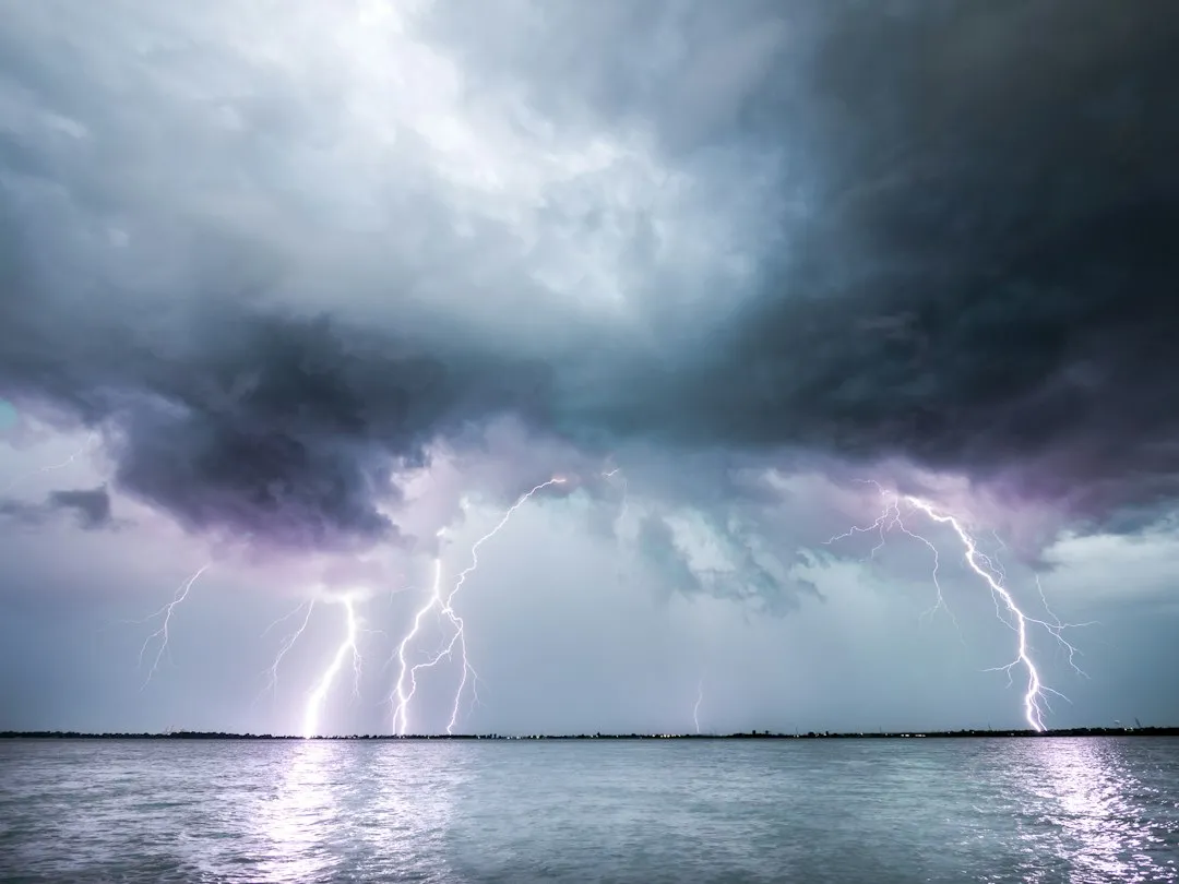
When a storm is identified in the ship’s path, the captain has several options: alter the route to sail around it, change the order of port stops, skip an affected port and add an alternative, delay departure from a port, or extend time at sea. The goal is always to find the cleanest path around a system rather than through it. If a storm or hurricane develops during a cruise, the ship will almost always reroute to avoid it rather than sail through it.
The captain has absolute authority over routing decisions, and no cruise line executive overrides a captain’s weather call. Fleet operations centers provide continuous forecast data, and many lines have dedicated meteorologists analyzing systems days in advance, but the final decision sits on the bridge. That is an important distinction. The passenger’s safety is a maritime and legal matter, not a commercial one.
Weather Routing as a Precise Science
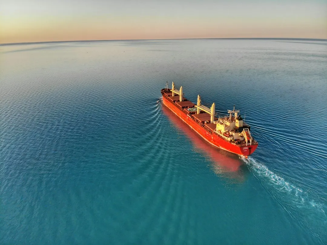
Ship weather routing aims to optimize vessel trajectories by leveraging sea weather and ocean surface information to enhance safety, efficiency, and overall performance. For maritime operators, this can help reduce fuel consumption, shorten voyage time, and lower operational risks. It is not simply about avoiding danger; good routing creates a better voyage overall.
Running AI inference onboard is computationally faster and cheaper than waiting for high-resolution updated forecasts from external weather services, providing an advantage for rapid decision-making under limited bandwidth conditions. New frameworks enable rapid what-if analyses where users can interactively define avoidance zones and compare alternative routes to evaluate safety and emissions trade-offs. The sophistication of these tools has grown considerably in recent years.
What the Beaufort Scale Means on the Bridge
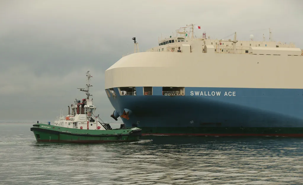
Rough seas for a cruise ship start at Beaufort Force 6 to 7, where stabilizer fins and hull design do the work passengers don’t feel. Serious conditions at Force 8 and above can cause discomfort and injury, but the captain controls routing and diversions to minimize that exposure. Most passengers never experience anything beyond a gentle roll precisely because threshold levels trigger action well before conditions become uncomfortable.
Port cancellations and route diversions typically trigger at Force 8 winds combined with swells over three to five meters, particularly when those conditions would make tendering or docking unsafe. These are not arbitrary calls. They are evidence-based decisions grounded in engineering limits and safety margins built into the ship’s design and operational procedures.
Stabilizers: The Technology Passengers Feel the Least
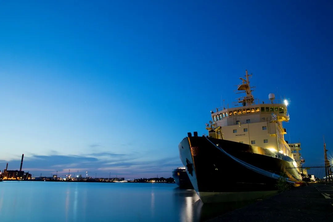
Inside the ship, stabilizers, which are large fins that extend from the hull, reduce roll motion by up to roughly ninety percent, so even in rough seas most passengers feel only mild movement. These fins work by generating lift that counteracts the rolling motion produced by beam-on waves. The physics is elegant, and the result is often invisible to anyone in the dining room or on a deck chair.
V-shaped bows cut through waves rather than slamming into them, and the wide beam of a large ship provides natural buoyancy and resistance to roll. The critical technology is the stabilizer fin system. Hull engineering and stabilization together form the first line of defense long before any rerouting decisions are made. Ships are built to handle choppy conditions, using features like stabilizers to reduce the sensation of movement.
ECDIS and the Digital Chart Room
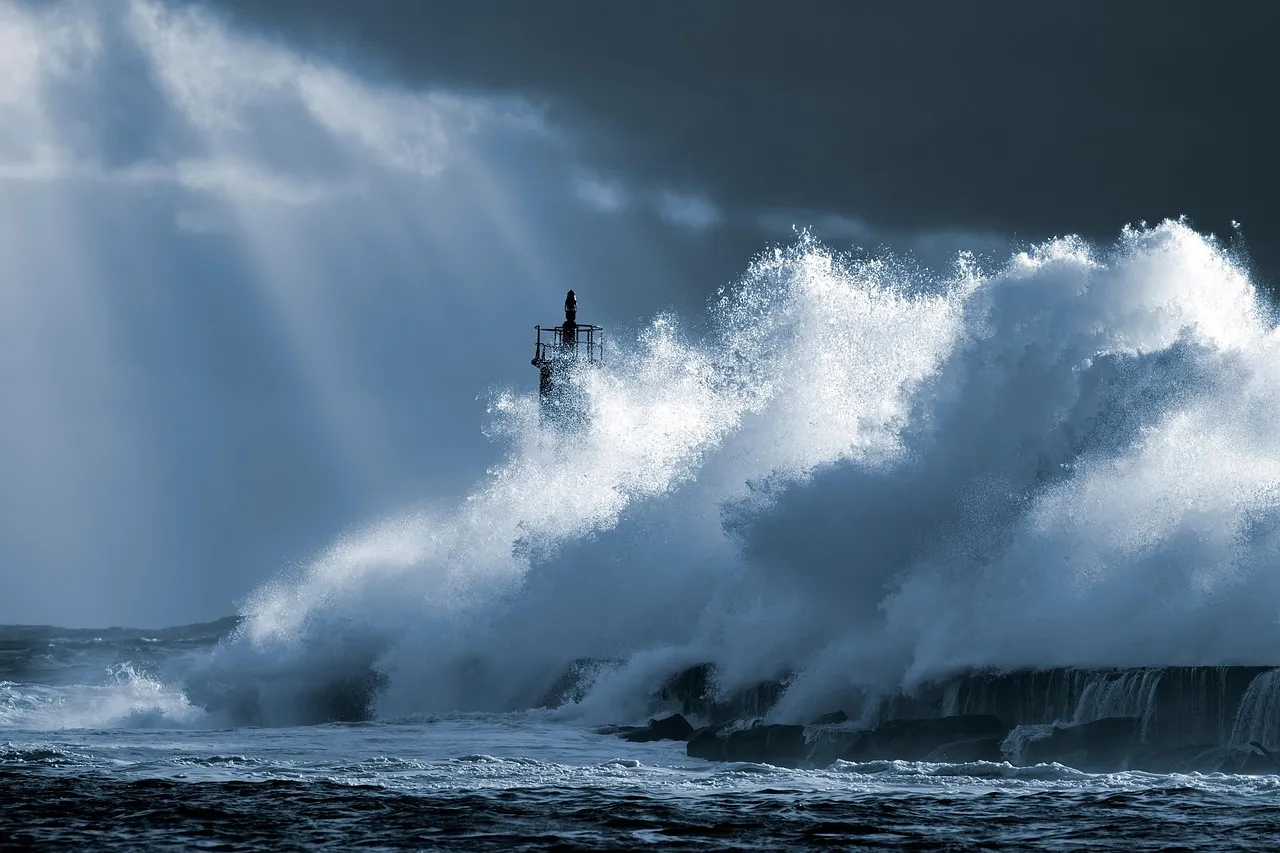
Electronic Chart Display and Information Systems have fundamentally transformed maritime navigation, and modern bridge teams navigate increasingly complex waters where traditional seamanship must merge seamlessly with digital precision. Officers now work with charts that update in real time rather than paper documents requiring manual correction. On the bridge, the crew will have nautical charts, either paper or, in many cases, digital charts that are updated by the second.
S-100 standards enable dynamic data integration, combining traditional charts with real-time information on water levels, currents, and high-resolution bathymetry. This evolution improves navigation safety through four-dimensional spatial awareness. From January 2026, S-100-compliant ECDIS became legal for use, with all new systems required to comply by January 2029. Storm navigation increasingly depends on how well this digital picture integrates all available data streams.
Communication Between Ship and Shore During a Storm
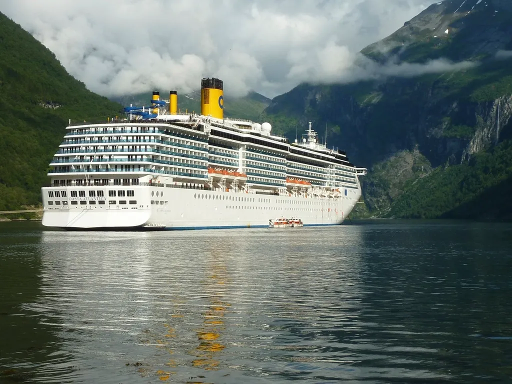
Cruise ships are equipped with state-of-the-art weather forecasting equipment, enabling them to anticipate and navigate around storms and rough seas. Satellite communications, NAVTEX, and VHF radio communications from nearby vessels provide real-time information. The bridge is never operating in isolation. It draws on shore-based meteorological services, fleet operations centers, and direct vessel-to-vessel radio contact simultaneously.
Cruise lines work with weather services and authorities to avoid the path of hurricanes, and operations teams track storms in real time and report back. This allows captains to reroute to calmer waters or different ports when necessary. During Hurricane Melissa in October 2025, live tracking maps showed cruise ships moving away from Jamaica, Cuba, and Haiti to avoid the worst of the storm, with many safely docked and others sailing close to the shoreline.
Crew Roles During Heavy Weather
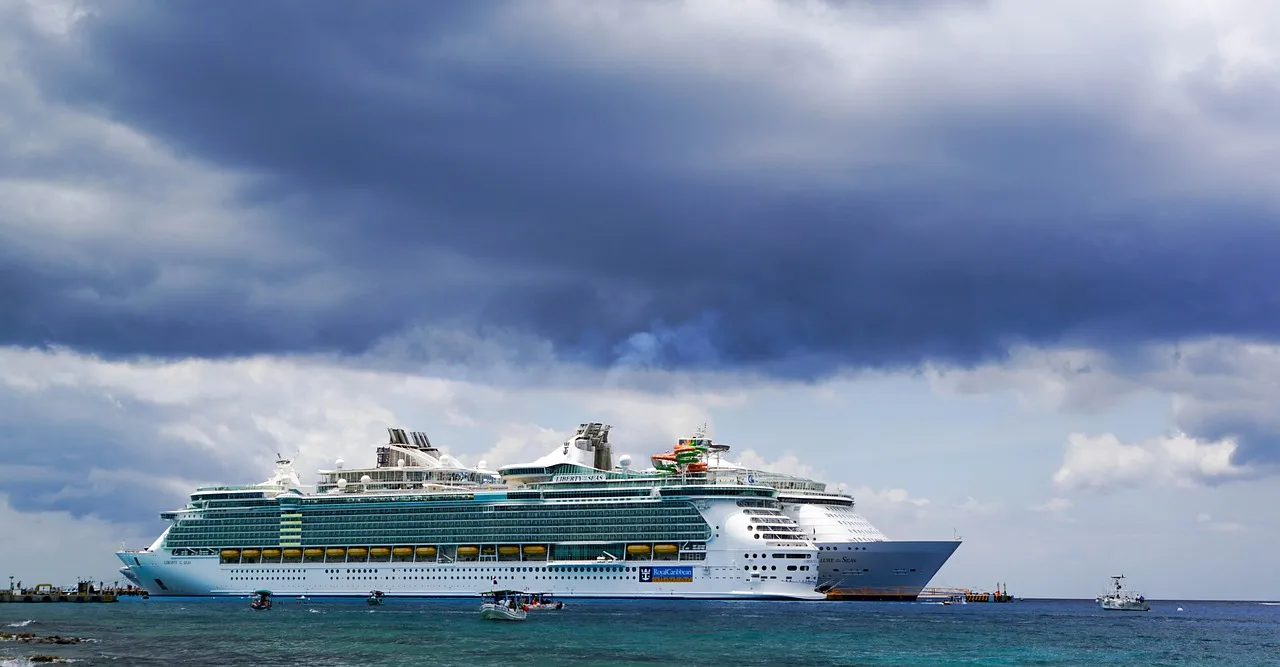
When conditions intensify, standard briefings are reinforced and crew members move to assist key public areas. Announcements focus on factual updates, helpful guidance, and reassurance rather than dramatization. This deliberate tone matters. Calm, clear communication from the crew has a measurable effect on how passengers experience rough conditions.
The staff captain plays a role that might include overseeing safety drills, lifeboats, cargo loading, and mooring operations, and is also based on the bridge, taking charge whenever the captain is off duty. During storm conditions specifically, the bridge must be staffed around the clock, and either the captain or staff captain should always be present. Responsibility is shared, but it is never diffuse.
When Avoidance Isn’t Fully Possible
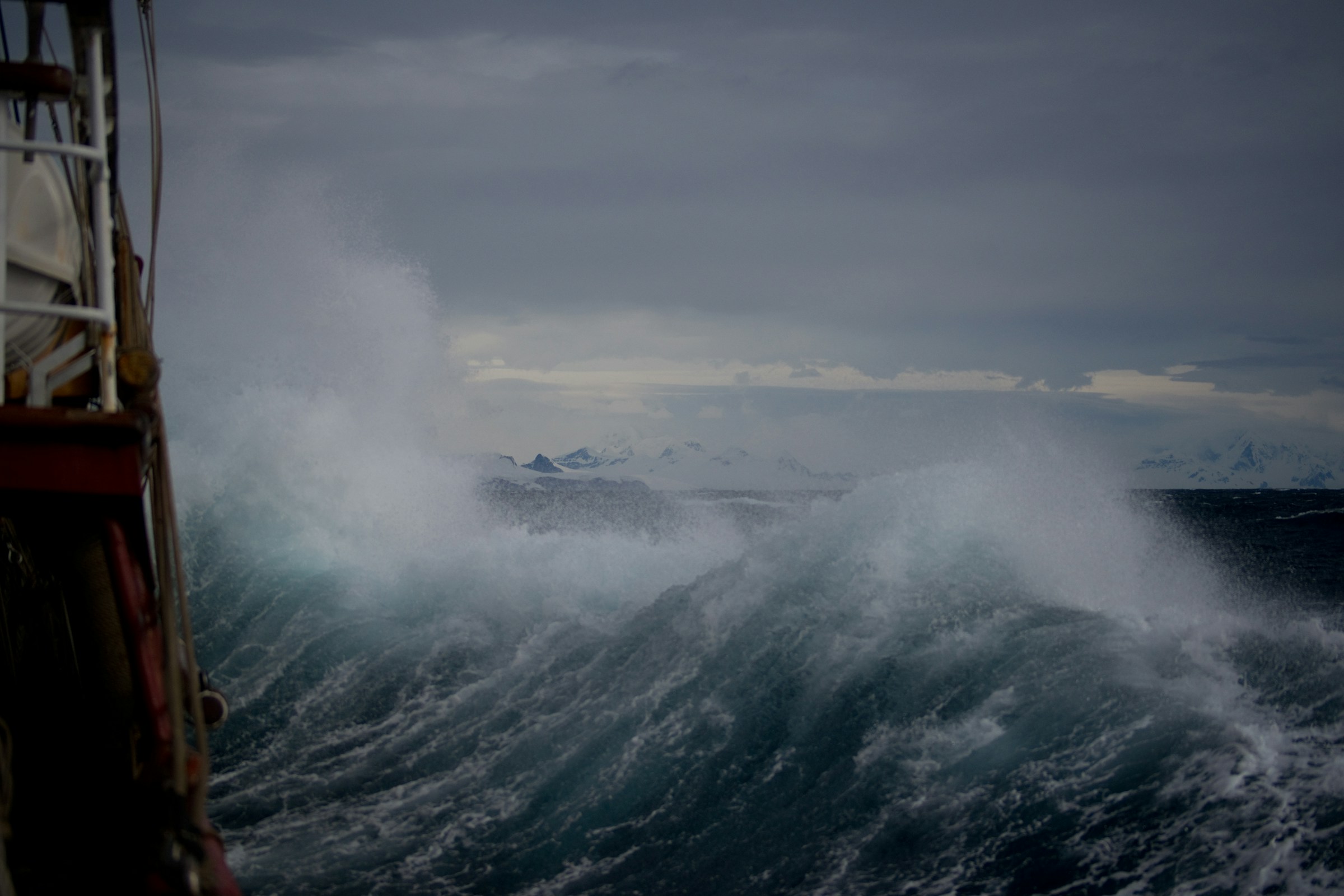
Real incidents illustrate what Force 8 to 9 looks like in practice. When the Spirit of Discovery encountered heavy weather in the Bay of Biscay, propulsion failure during the storm caused violent rolling and over a hundred passenger injuries from falls. These events are rare, but they happen, and they underscore why weather routing exists as a standard operational priority.
The cruise industry invests heavily in weather routing and advanced navigation systems specifically to avoid exposing ships to the most severe conditions. The vast majority of weather-related disruptions on cruises result in nothing more than a rough night and an itinerary adjustment. Officers on the bridge take those outcomes seriously as the baseline they work to protect, not as a given.
The Takeaway
There is a quiet competence at the heart of modern cruise navigation that rarely makes headlines precisely because it works so well. Bridge officers monitor, calculate, communicate, and decide across a continuous loop of incoming data, and the result, for most passengers, is an uneventful adjustment they learn about over breakfast. A common misconception is that the open water is the most dangerous place to be in inclement weather. It is actually the opposite: if a storm is coming your way on land, you have fewer options. On a cruise ship, captains can sail out of the way quickly.
That mobility, combined with the technology now available to bridge teams and the authority captains hold to act on safety calls without commercial pressure, makes the modern cruise ship a genuinely capable platform for navigating an unpredictable ocean. The storm doesn’t stop. The ship simply finds a better way around it.
AI Disclaimer: This article was created with the assistance of AI tools and reviewed by a human editor.