
The Place With No Roads Within 21 Miles
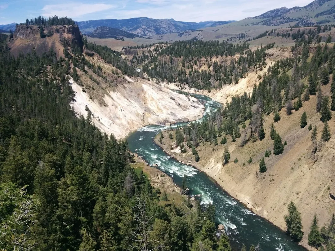
Nowhere in the Lower 48 can you stand more than 21.64 miles from a road, and that spot is the southeast corner of Yellowstone. It sits deep inside the Thorofare region, a vast, mountain-cupped valley where the Yellowstone River drains southward before bending west toward the lake. The sheer distance from pavement is almost hard to process when you’re used to the density of the American road network.
The point in the contiguous US that is farthest from a road of any kind is located in the southeast corner of Yellowstone National Park in Wyoming. Reaching it isn’t a casual weekend trip. It is 21.7 miles from a road, and requires a week-long, 75-mile hike to get there and back.
Where Exactly the Thorofare Sits
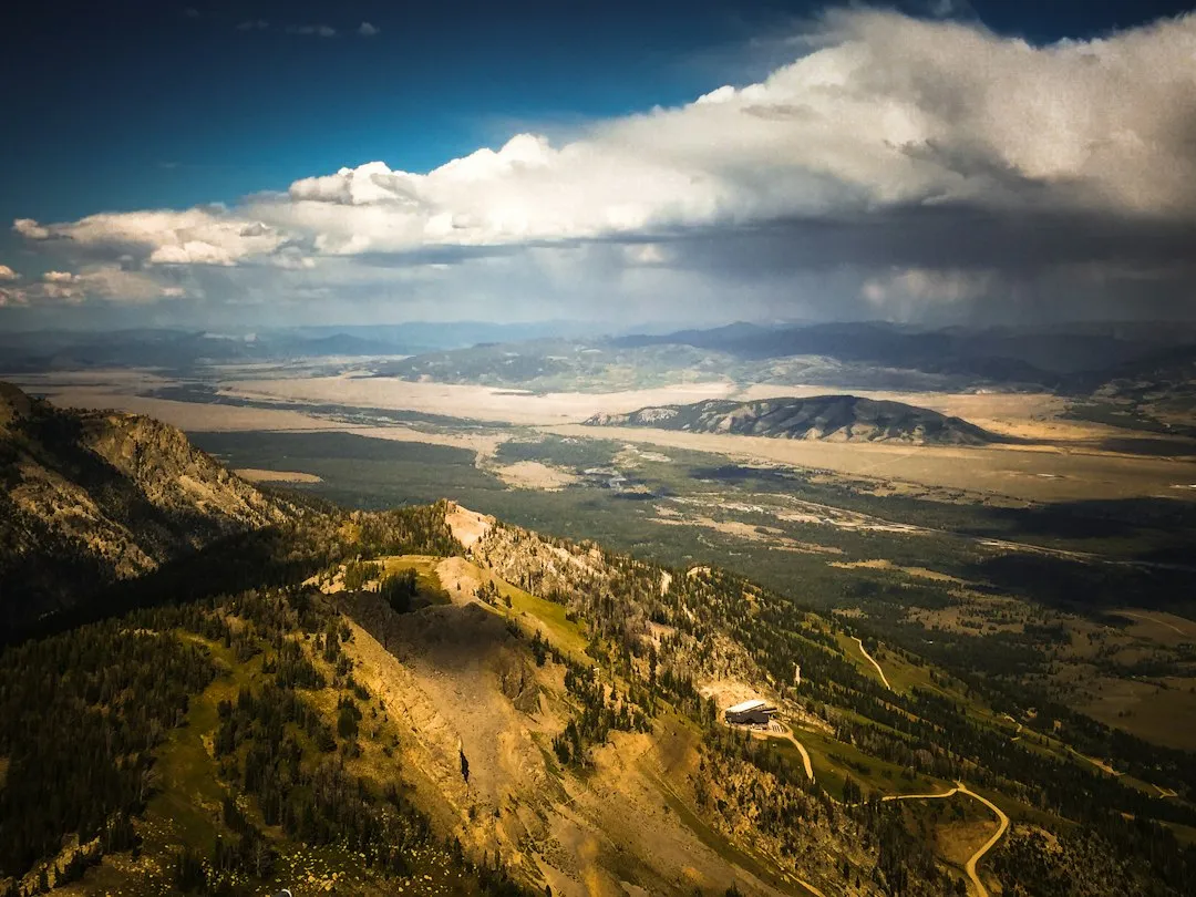
The Teton Wilderness is notable for having the most remote location of any place in the contiguous 48 states, occurring very close to Bridger Lake, near the confluence of the Thorofare and Yellowstone Rivers, not far from the USFS Hawk’s Rest Ranger Station. This is not technically inside Yellowstone’s boundaries at its most remote point, but the overlapping wilderness areas form one seamless roadless block.
The Thorofare region covers 2,600 square miles right where the southeast tip of Yellowstone National Park meets the Bridger-Teton National Forest and the Shoshone National Forest. The convergence of three protected land units is a large part of why this corner of Wyoming has remained so intact.
Why the Desert West Doesn’t Win This Contest
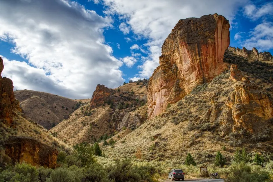
At first glance, you’d expect Nevada or Arizona to claim the title of most roadless. Vast, flat, and empty-looking from a satellite view, those desert states feel remote. The data tells a different story.
The Owyhee Desert in Nevada drops from nearly 20 miles when only roads are counted to just 0.42 miles when unpaved tracks are included. The Frank Church Wilderness in Idaho falls from over 17 miles to just 2.25 miles under the same measure. The Thorofare, by contrast, doesn’t budge. The two wilderness areas that hold their distance are designated Wilderness and national park backcountry, where a drivable track legally cannot exist.
The Numbers That Put American Wilderness in Perspective
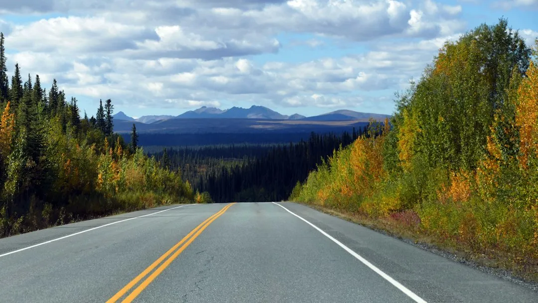
Twenty-one miles only means something against what is normal, and what is normal is that there is a road right there. Across all 340 million land cells of the Lower 48, the median distance to the nearest road is just 0.26 miles, and nearly half of all land sits within a quarter mile of a road.
The share of land within one mile of a road is over four-fifths of the entire Lower 48. The fraction lying beyond twenty miles from a road is just four thousandths of one percent, about 118 square miles out of three and a half million, an area smaller than Detroit. That statistic lands differently the more you sit with it.
East of the Mississippi: Remoteness Barely Exists
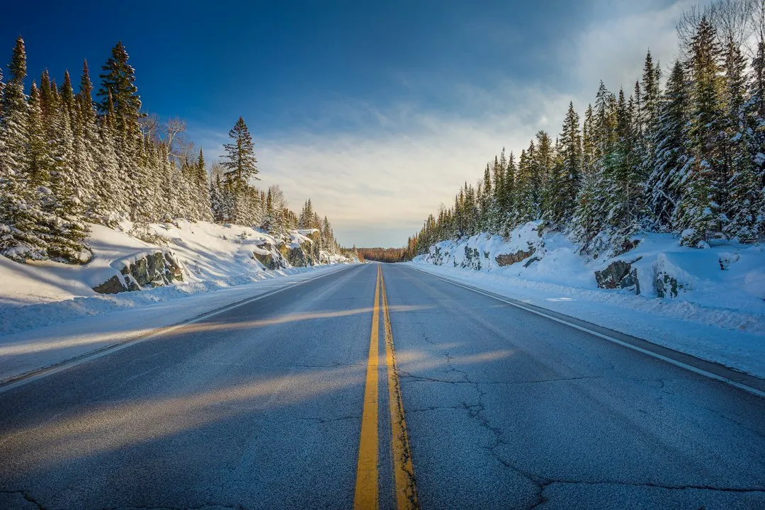
East of the Mississippi, the nation is so heavily highwayed that remoteness hardly exists; it is not possible to be more than 10 miles from a road. The populated east has been laced with pavement for so long that even its designated wilderness areas offer only a brief illusion of solitude before a county road reappears.
Even in the West, there are only four places where one can truly escape roads: Utah’s Escalante region north of the Grand Canyon; the Frank Church/River of No Return Wilderness in Idaho; Montana’s Bob Marshall Wilderness; and the Yellowstone National Park, Teton Wilderness, and Washakie Wilderness trinity in northwestern Wyoming. Of those four, only the Yellowstone complex breaks the 20-mile threshold.
The Thorofare Ranger Station: The Most Isolated Building in the Lower 48
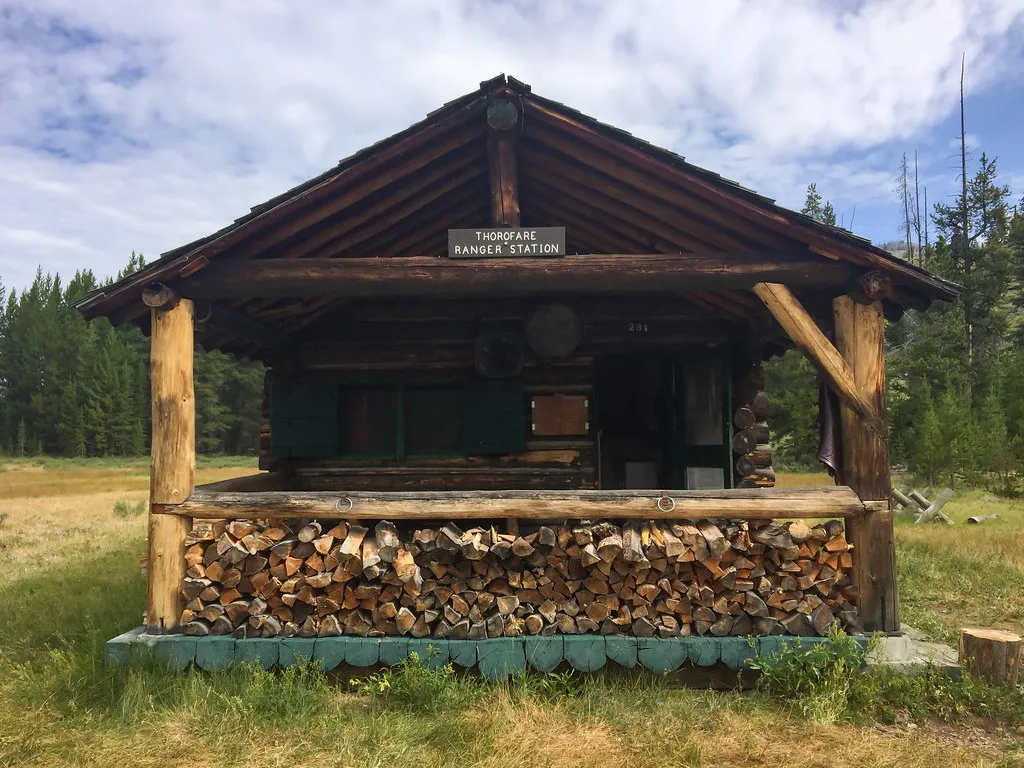
The Thorofare Ranger Station is the furthest building from any road in the contiguous United States. Rangers stationed there rely on horseback and foot travel to do their work, and resupply runs are logistical operations in themselves.
The region contains a network of trails, backcountry patrol cabins, and even some scientific equipment. The University of Utah is one of the institutions with equipment in the Thorofare. Their seismometer on the summit of Hawks Rest, in the Teton Wilderness just southeast of the park, is the most remote station they manage, and it takes a big effort and a few days of horseback riding to service it.
A Wildlife Sanctuary Like No Other
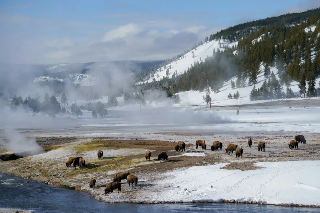
The Thorofare’s distance from roads isn’t just a geographic curiosity. It has real ecological consequences. Grizzly bears, wolves, elk, and moose use this corridor freely, largely undisturbed by human activity at the scale found elsewhere in the West.
The estimated Greater Yellowstone Ecosystem grizzly bear population increased from 136 in 1975 to a peak of 1,030 estimated individuals in 2024. Currently, they occupy 27,066 square miles in the Greater Yellowstone Ecosystem. The Thorofare’s intact backcountry is central to that recovery story.
The region’s exceptional remoteness has preserved pristine wildlife habitat and a wilderness experience increasingly rare in the modern world. The distance from pavement acts as a natural buffer that few other protected areas in the country can replicate.
How Researchers Calculated the Most Remote Point
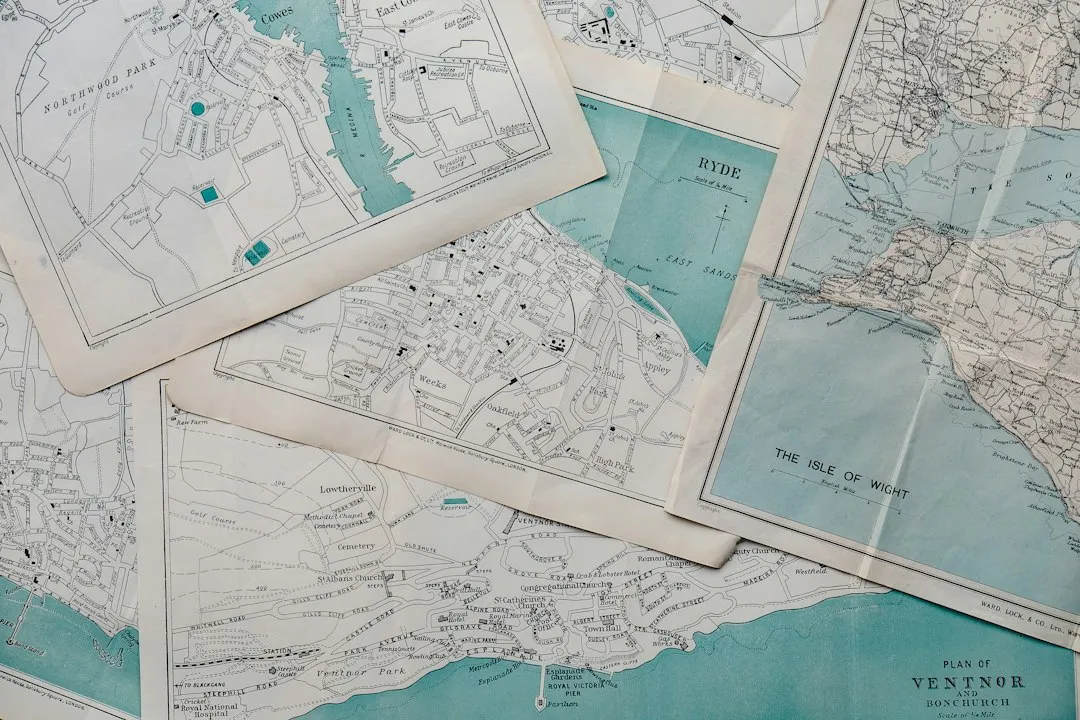
The measurement is not folklore. It comes from rigorous GIS analysis using road network data. Rebecca Means, a professional with the GIS satellite cartography tool, calculated the coordinates in each state farthest from roads and settlements. Similar calculations have since been independently replicated using updated OpenStreetMap data.
Roads and trails used in the most detailed analyses come from Overture Maps with OpenStreetMap lineage, plus the Forest Service’s national trail layer. Every road and trail is then burned onto the grid and the distance to the nearest one computed for all 601 million cells. The consistency across multiple independent analyses is what gives the Thorofare’s claim such credibility.
What It Actually Takes to Get There
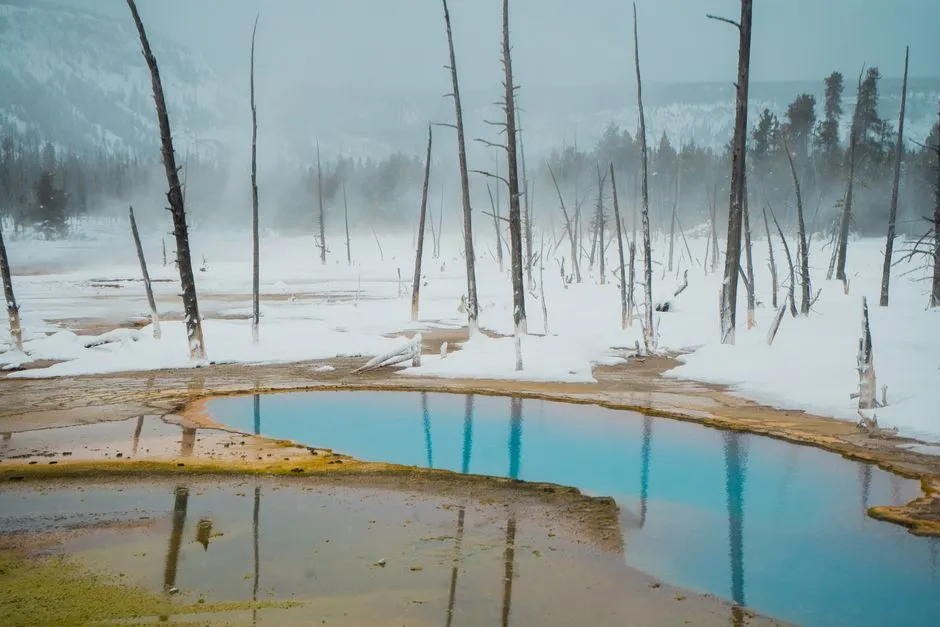
The Thorofare’s isolation stems not only from distance but also from surrounding topography and seasonal conditions. Winter renders the area completely inaccessible except by ski or snowshoe expeditions that require exceptional wilderness skills. Even in summer, the route demands careful planning.
Despite being within America’s first national park, the Thorofare remains a genuine wilderness rarely experienced by park visitors. Most of the millions who visit Yellowstone each year never venture more than a few hundred yards from a paved road. The southeast corner might as well be a different world.
The Legal Protections That Keep It Roadless

U.S. Wilderness Areas do not allow motorized or mechanized vehicles, including bicycles and all-terrain vehicles. This legal framework is the reason the Thorofare remains intact when so many other seemingly remote desert areas crumble under scrutiny once two-track routes are factored in.
Most states in the U.S. include federally designated wilderness areas, roadless by definition, but major swaths of road-free outback are few and far between. The Wilderness Act’s prohibition on mechanized access is, in a practical sense, what makes the Thorofare’s title mathematically unassailable. Without it, a dirt track would close the gap within a generation.
The Quiet Meaning of 21 Miles
There is something worth sitting with in the knowledge that the most remote point in all of the contiguous United States is barely a marathon’s distance from pavement. In the entire continental US, coast to coast, Mexico to Canada, there is only one place left where you can get more than 20 miles from a road, and that is in the greater Yellowstone region.
The Thorofare doesn’t need hyperbole. Its statistics speak plainly. In a country of 330 million people and millions of miles of road, one quiet valley in Wyoming is the last place where you can stand on solid ground and know, with certainty, that civilization is at least a full day’s hard walk in every direction. That’s not nothing. That’s almost everything.
AI Disclaimer: This article was created with the assistance of AI tools and reviewed by a human editor.