
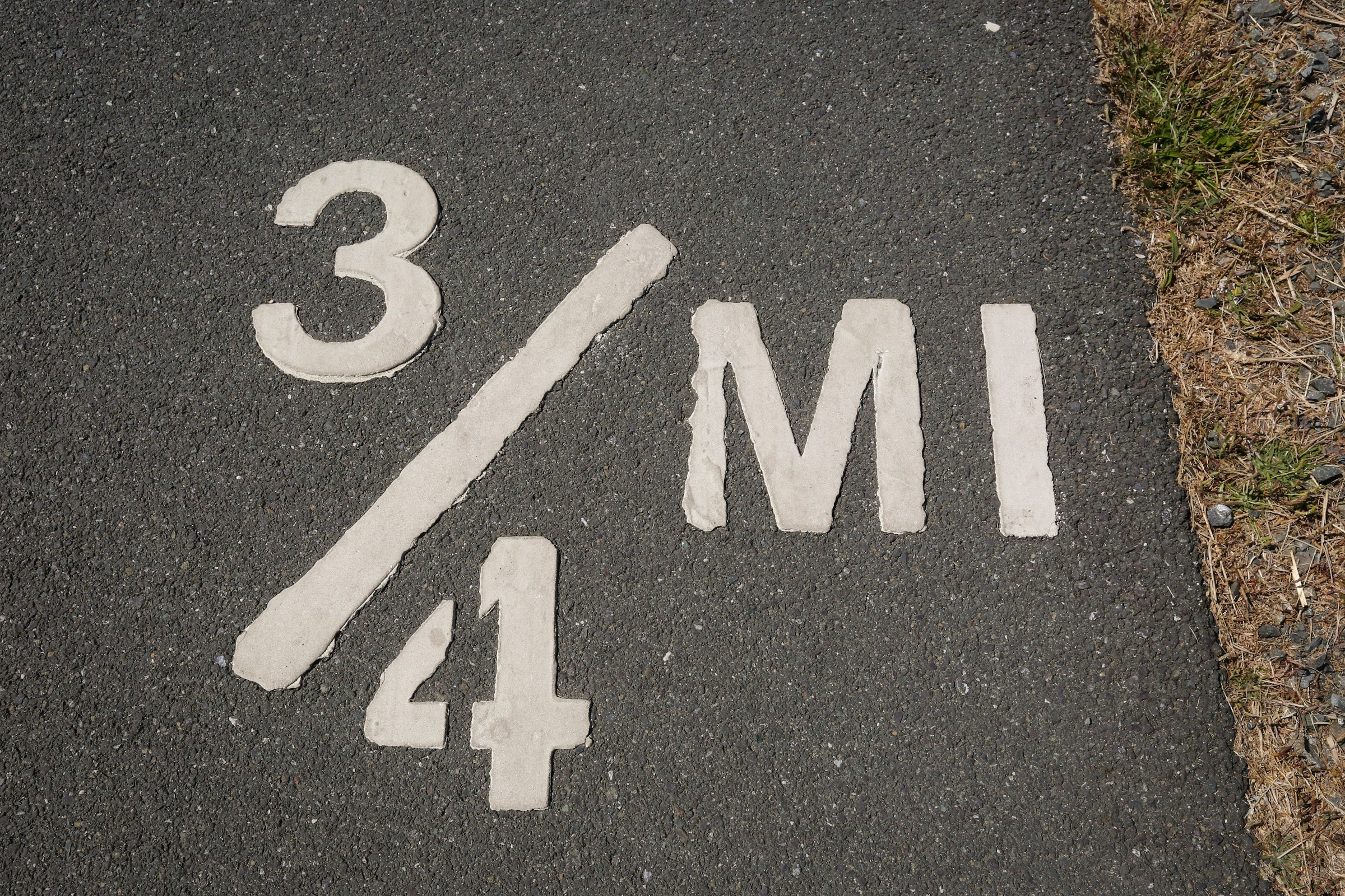
They Started With the Romans, Not the Interstate Era
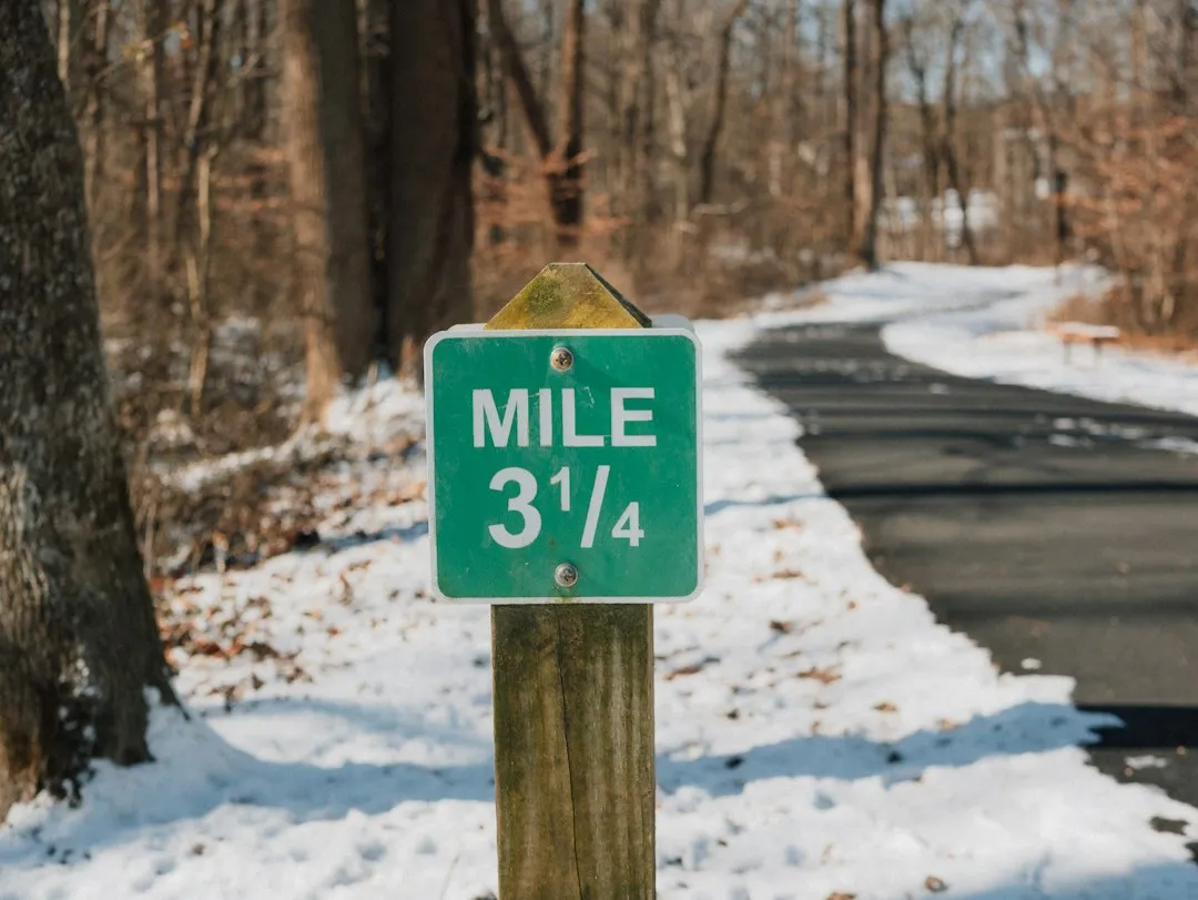
The concept of mile markers traces back to ancient Rome, where stone obelisks known as “miliarium” were erected to mark distances along extensive road networks. These weren’t decorative. They were a functional communication system for armies, merchants, and travelers navigating thousands of miles of paved roads.
In the United States, the establishment of mile markers began in the early 19th century during the era of turnpikes and toll roads, where the markers initially served to assist toll collectors in calculating fees based on the distance traveled. Utility, not scenery, has always driven this system.
The Federal Highway Administration and the Manual on Uniform Traffic Control Devices formalized the system in the 1960s and 1970s, shifting from named routes or letter-based markers to numeric mileposts aligned with the Interstate grid, with even numbers for east-west routes and odd numbers for north-south. That grid logic remains intact today.
The Numbers Tell You Which Direction You’re Heading

Mile markers reflect how many miles you are from where the Interstate route entered the state. The numbers start at the state line in the south for north-south routes and in the west for east-west routes, increasing as you travel east or north and decreasing as you travel west or south.
This means a quick glance at a mile marker can orient you without a GPS signal. If the numbers are climbing, you’re heading north or east. If they’re dropping, you’re going south or west. It’s a built-in compass hiding in plain sight.
Interstate mileposts begin at zero at the western state line and go up as you travel west to east, while for north-south interstates, the lowest numbered mile marker is at the southern state line or international border. The logic is consistent across the country.
Each State Gets Its Own Count, Starting From Zero
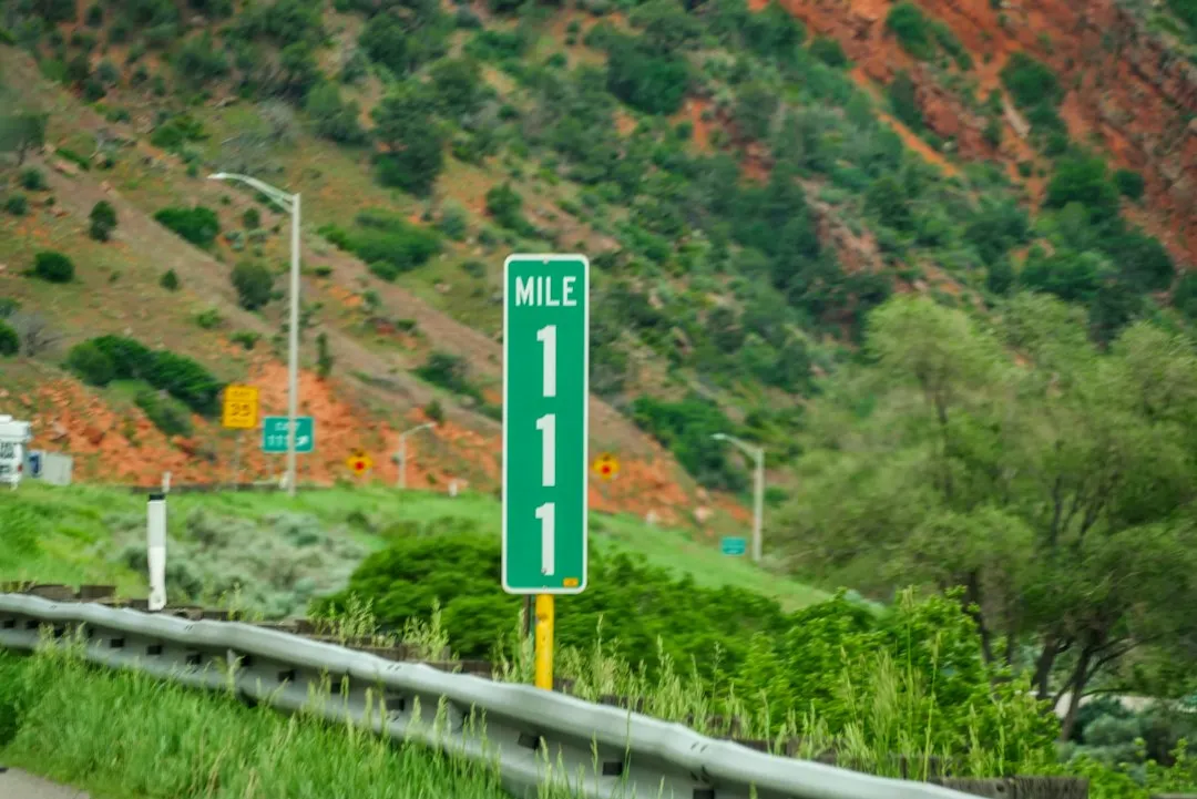
Mile markers change numbering at state borders. So if Texas is roughly 877 miles across on I-10 and you start at mile marker 1, you know you’re approaching the state line around mile marker 877, after which the count resets to 1 as you enter Louisiana. The numbers never stack up coast to coast.
This reset system was a deliberate choice. It simplified state-level road management and gave each department of transportation its own clean reference frame. A highway maintenance crew in Georgia doesn’t need to think in thousands of miles to locate a pothole or a downed sign.
Mile markers were installed to follow the interstate grid pattern within each state, starting from west to east and south to north, indicating how many miles one had traveled within a state and how many miles remained before reaching the next one.
Exit Numbers Are Often Just Mile Markers in Disguise
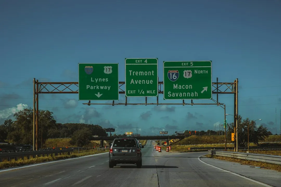
The most widely used method for numbering interstate exits is based on the mile marker system. The first exit number as you travel south to north or west to east is determined by its distance from the state line. For example, if an exit is located between mile markers 4 and 5, it is numbered as Exit 4. The next exit, if located at mile marker 8.7, would be numbered Exit 8.
This approach is genuinely practical. Knowing that exit numbers align with mile markers means you can calculate the distance between exits just by subtracting. Exit 47 to Exit 61 is roughly 14 miles of driving. No mental gymnastics required.
Some states number interstate exits with the mile marker, so Exit 50 is near mile 50. In contrast, some states number their exits in consecutive order that does not correspond to mile markers at all. If exits seem oddly sequential where you’re driving, you’re likely in one of those consecutive-numbering states.
California Does It Completely Differently
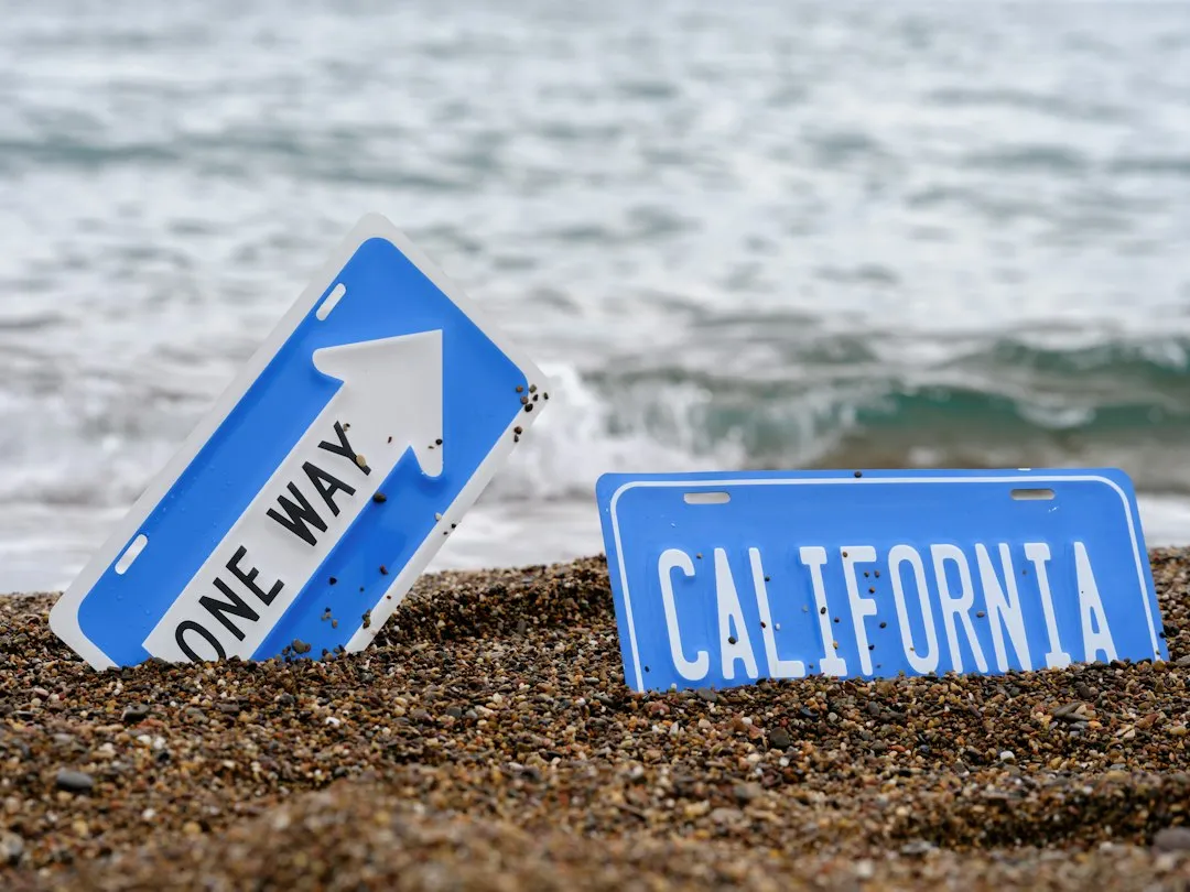
California is the only state that does not use standard mile markers. Instead, it uses a Post Mile system with numbering that begins and ends at county lines rather than state borders. It’s a fundamentally different frame of reference.
California uses a postmile system on all its state highways, US routes, and interstate highways, where the postmile system indicates the distance a route travels through individual counties instead of the entire state. This can make cross-referencing with neighboring states a bit awkward.
California was also the last state in the country to adopt mile markers, and exit numbers were not implemented until 2002. It took decades of growth in interstate travel before the state aligned with the broader national framework.
The Design Standards Are More Precise Than You’d Think

Green rectangular signs with “MILE” and white numerals, placed every integer mile on the right shoulder, are governed by MUTCD Chapter 2H for uniformity and visibility. That federal chapter defines everything from letter height to reflectivity requirements.
Most states now post mile markers every 0.2 to 0.1 miles, as opposed to every mile when the system was first in use. The denser spacing exists precisely because emergency response depends on precision, and a full mile of uncertainty can mean a lot of time lost.
Evaluations have shown that closer-spaced markers, such as every 0.2 miles, improve incident location accuracy and support quicker responder deployment, alongside better integration with navigation apps for real-time use. The stakes are real, not administrative.
In an Emergency, That Number on the Sign Could Save Your Life
State troopers and emergency crews use mile markers to locate stranded drivers or those involved in crashes. If you ever have to call 911 on a state highway or interstate and you’ve paid attention to the mileposts, emergency crews will be able to find you faster.
Each year, more than 200 million calls are made to 911, and many of them are to report incidents on highways, roads, and streets. A significant number of those callers struggle to describe where they are, particularly on rural interstates with no visible landmarks.
In rural areas, the limitations of 911 callers to specify crossroads, mile markers, and other identifiable location markers actively hampers emergency response. Knowing your mile marker number is one of the simplest things a driver can do to help responders reach them in time.
Cell Phone GPS Isn’t as Reliable on Highways as You Might Assume

The FCC requires carriers to deliver an accurate location for only 80 percent of wireless 911 calls, and highways are often the worst-case scenario, where cell towers line up in a row and triangulation can fail. That gap in coverage is precisely where mile markers step in.
Mile markers offer a standardized grid that transcends GPS reliance in remote areas or during signal loss. They function as an analog backup that requires no battery, no signal, and no satellite connection to work. The number is right there on the sign.
GPS didn’t retire the mile marker. It actually exposed how much emergency response, dispatch, and the entire highway data system still depend on it. The two systems complement each other rather than compete.
Road Maintenance and Infrastructure Are Tracked by Mile Markers Too
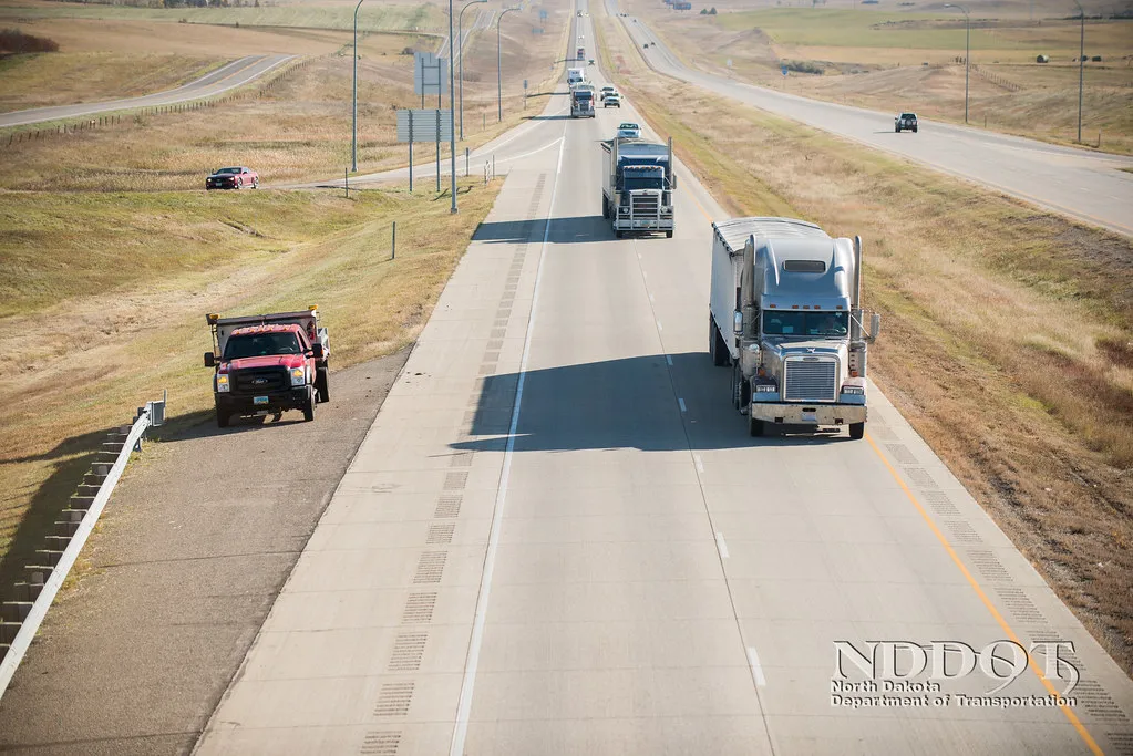
Much of highway maintenance work revolves around mile markers. They’re how crews track where sand, salt, and brine have been applied, and how dispatchers coordinate a response to road hazards and closures. The sign you pass in a snowstorm is the same reference point guiding the plow truck behind you.
Departments of transportation locate nearly everything by route plus milepost, from crashes and work zones to signs and 511 alerts. Since 2014, the FHWA’s ARNOLD mandate requires every state to maintain milepost-referenced inventories of all public roads. That mandate transformed what was once a navigation aid into a full infrastructure database.
Mile marker data is layered into GIS systems, providing precise location information for everything from road signs to bridges. The small green sign on the shoulder is, in effect, a data anchor for the entire road network around it.
Some Mile Markers Have Become Cultural Landmarks
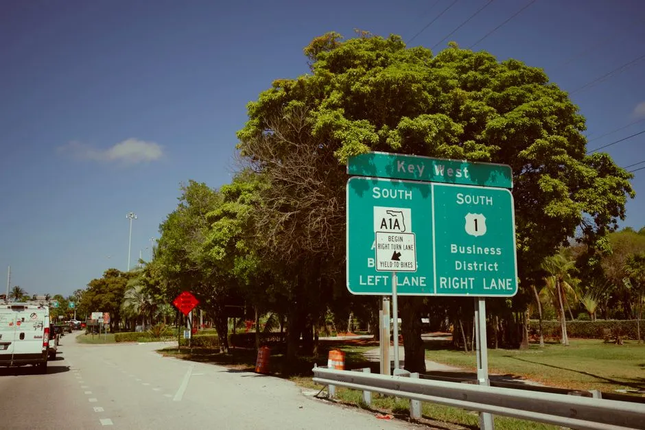
Key West is home to the most photographed mile marker in the country, the mile zero sign that marks the beginning of US Highway 1. It’s one of those rare cases where a purely functional object has taken on meaning well beyond its original purpose.
The Florida Keys uses mileposts to mark points of interest and businesses along the Overseas Highway, with milepost numbers functioning as part of actual street addresses. In that stretch of road, the highway’s mile markers became the addressing system for an entire island chain.
Along the National Road in Ohio, a stone marker on the north side of every mile told travelers how many miles they were from Cumberland, Maryland, the beginning point of the highway. To date, more than 83 of these original stone markers remain along the old routes of US 40. They’ve outlasted the horses that once passed them by generations.
The Takeaway
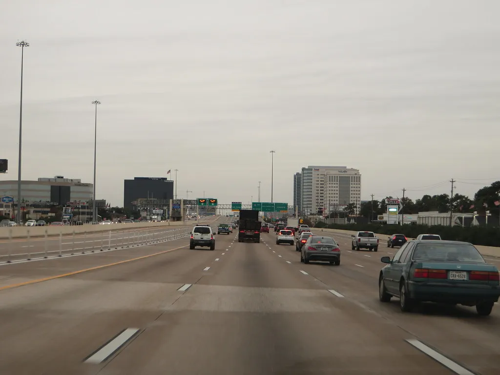
Mile markers are one of the most information-dense features on any highway, and most drivers never fully register what they’re communicating. Direction, distance, state position, emergency location, infrastructure data: all of it compressed into a small green sign standing quietly at the road’s edge.
The next time you’re on an interstate, pay attention to those markers. Note the number when you pull over. Reference it when you call for help. The system was built with purpose, and it still works exactly as intended, whether your phone has signal or not.
There’s something quietly reassuring about a navigation tool that has worked continuously since the age of Roman stone roads, survived the GPS revolution, and still forms the backbone of how emergency responders find you. Some ideas are simply good enough to keep forever.
AI Disclaimer: This article was created with the assistance of AI tools and reviewed by a human editor.