

The Numbers Don’t Lie: Exact Coordinates

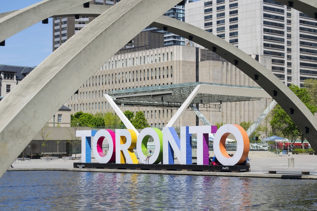
Portland, Oregon sits at 45.52 degrees north latitude, which is farther north than Toronto, which clocks in at 43.70 degrees. That is a difference of nearly two full degrees of latitude. In practical terms, two degrees of latitude is roughly 220 kilometers, or about the distance from Toronto to Kingston, Ontario.
Portland is at latitude 45.5234 degrees north. Toronto, meanwhile, is located at approximately 43.6532 degrees north. These are not rough estimates or map approximations. They are fixed, verified geographic coordinates that make the comparison unambiguous.
How the US-Canada Border Creates the Illusion
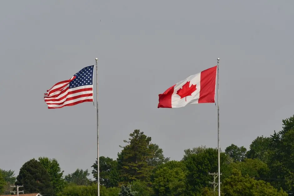
The US-Canada border along the 49th parallel is what most people unconsciously use as a mental dividing line between “American” and “Canadian” space. That border runs at 49 degrees north, well above both Toronto and Portland. The assumption that everything Canadian must be north of everything American is simply a geographic misreading of how unevenly the continent is divided.
It’s easy to underestimate just how far south Canada projects itself into what are popularly considered to be American latitudes. At 43.7 degrees north, Toronto lies at almost the same latitude as Sioux Falls, South Dakota, which sits at 43.5 degrees north. That also means the capital city of Ontario sits south of the capital of South Dakota, Pierre, which is located at 44.3 degrees north.
Toronto Is Actually Canada’s Most Southerly Major City

Toronto is the southernmost major city in Canada, with a latitude of 43.6 degrees north. That position at the southern edge of Canada is part of what has made it such an attractive economic hub over the centuries. The city benefits from a geography that puts it closer to the American industrial heartland than any other major Canadian urban center.
Toronto stretches 43 kilometres east to west and sits in southern Ontario on the northwest shore of Lake Ontario, at 43 degrees 39 minutes north, covering 641 square kilometres, according to the City of Toronto’s 2024 Toronto at a Glance. Its position along that shoreline has shaped everything from its trade routes to its daily weather.
Montreal Lines Up With Portland, Not Toronto
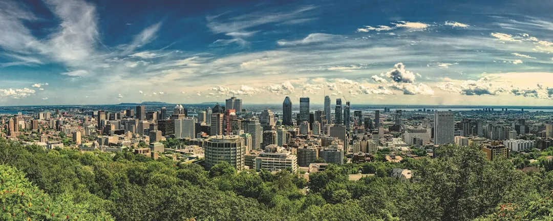
If you’re looking for a Canadian city that truly shares Portland’s latitude, Toronto is not the one. The match actually belongs to Montreal. Aside from Ottawa, folks in Montreal are roughly equal in latitude to Oregon’s Portland, Italy’s Milan and Venice, and China’s Harbin. That places Quebec’s most famous city in league with some of Europe’s most celebrated destinations.
Toronto is at the same latitude as Marseille, France, while Portland shares its latitude with Montreal. That means Toronto aligns more with the French Riviera than with the Pacific Northwest, which is a genuinely strange thing to sit with the first time you hear it. The continent tilts your assumptions.
Ottawa Is Almost Exactly Level With Portland

Ottawa, the nation’s capital, lies at a latitude of 45.4 degrees north, which is actually slightly south of the latitude of Portland, Oregon, at 45.5 degrees. Canada’s own political capital barely clears Portland on the latitude scale. For a city that has a reputation for being cold and remote, that geographic reality is striking.
Portland, Oregon is situated at 45.5 degrees north latitude, while Ottawa is located at 45.4 degrees north latitude. Another interesting effect of sharing the same latitude is that both cities experience similar daylight hours throughout the year. Daylight hours are tied directly to latitude, which means Ottawa and Portland wake to essentially the same length of day in any given season.
The “We The North” Moment That Made Headlines

The geographical irony became a minor sports news story that brought the latitude gap to a much wider audience. The Toronto Raptors’ marketing campaign to brand themselves as the NBA’s northern success story hit a snag when they played Portland. The team not only lost to the Trail Blazers, Portland torched them on social media too, pointing out they are not truly “the north.”
It was a lighthearted jab, but the geography behind it was real. The Minnesota Timberwolves then added their two cents, pointing out that Minneapolis, where they play, is also farther north than Toronto. Suddenly a city branding itself as the great northern outpost had to reckon with the fact that several American teams play in colder latitudes.
What the Latitude Actually Means for Toronto’s Climate

Toronto’s latitude of 43.6532 degrees north places it in a humid continental climate zone, characterized by warm summers and cold winters. Despite sitting farther south than Portland, Toronto does not enjoy Portland’s famously mild, maritime winters. The continental interior of North America brings cold air masses that Portland, sheltered by the Pacific Ocean’s moderating influence, mostly avoids.
Toronto’s continental climate is moderated by Lake Ontario, and its climate is among the mildest in Canada east of the Rocky Mountains, given its southerly latitude within the country. Its weather is heavily moderated by its location on the northwestern shore of Lake Ontario, which keeps the city warmer in the winter and cooler in spring and early summer compared to further inland. The lake is doing meaningful work here.
Lake Ontario’s Role in the Geography Story

The city sits at 43.7 degrees north latitude, similar to Vermont and northern Italy, but is moderated by Lake Ontario, which delays both freezing and warming by two to three weeks. That lag effect is something residents feel without always understanding its source. Spring feels late; autumn lingers longer than you might expect.
Lake Ontario’s proximity consistently moderates Toronto’s climate, ensuring milder transitions between seasons and mitigating extreme temperature variations that are otherwise expected for a city of its latitude. Without the lake, Toronto at 43 degrees north would feel considerably different, swinging more sharply between summer heat and winter cold than it currently does.
Global Cities at the Same Latitude as Toronto
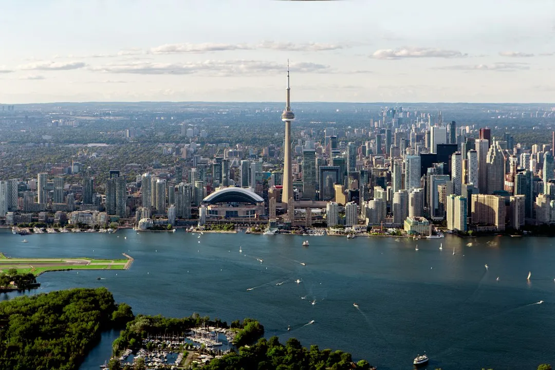
Toronto is at 43 degrees 42 minutes north, which is the same as Monaco and Nice, France, and slightly farther south than Florence, Italy. That is not a comparison many Canadians would instinctively make when describing their home city. Yet the sun angle in Toronto at midsummer is essentially the same as in those Mediterranean locations.
Some of Toronto’s global neighbours by latitude include Sochi, Russia, which hosted the Winter Olympics in 2014, as well as Sapporo, Japan, one of the snowiest major cities in the world. The range is telling. Cities at the same latitude can have radically different climates depending on proximity to oceans, prevailing winds, and continental position. Latitude is a starting point, not a forecast.
Why This Misconception Persists

The mental map most people carry is built on political boundaries, not geographic ones. The US-Canada border, the presence of Canadian flags, the association of Canada with cold and snow: all of these cues override the underlying latitude data. Canada is vast, and its most recognizable symbols, the tundra, the Far North, the Arctic, do represent real northern places. They just don’t represent Toronto.
Canada is pretty far removed from the densest global population centres. Nearly half of the world’s population lives within the tropics, or between the latitudes of 23.5 degrees north and 23.5 degrees south. Canada as a whole is genuinely northern by global standards. The confusion comes from applying that national impression uniformly to individual cities, which sit in very different spots on the map.
The Takeaway
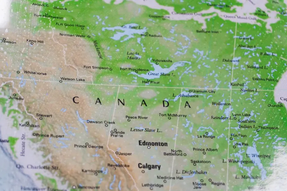
Geography has a way of quietly outlasting the stories we tell about places. Toronto will always be a Canadian city, with Canadian winters and Canadian identity. None of that changes because Portland sits two degrees farther north on the globe. What does change is the easy shorthand that puts Canada uniformly above America, in every sense of the word.
The latitude gap between Toronto and Portland is not a trivial footnote. It reframes what it means to be northern or southern in North America, and it reminds us that borders are political lines drawn through an indifferent physical landscape. The globe does not care what flag a city flies. It only records where that city sits.
AI Disclaimer: This article was created with the assistance of AI tools and reviewed by a human editor.