
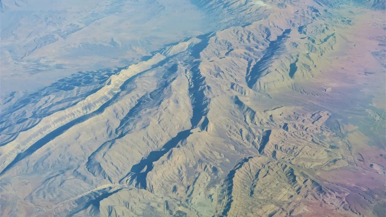

California – Three minor earthquakes registered along the San Andreas Fault overnight, each in the mid-magnitude 2 range and centered in separate parts of the state. A 2.7-magnitude event struck near Petrolia around 4:31 a.m., followed closely by a 2.6-magnitude shake near Santa Barbara at 4:39 a.m. A 2.5-magnitude quake had rattled Westley the previous evening. ([1]) No damage or injuries were reported. These small events serve as a quiet reminder of the dynamic geology that shapes much of California’s landscape. The San Andreas Fault itself remains one of the most accessible geological features in the United States, offering travelers a chance to stand directly on the boundary between two tectonic plates. **A Living Landscape** The fault traces a visible scar across the state, from the deserts of the south to the coastal ranges of the north. In places the ground has shifted so dramatically over millennia that the evidence is plain to see in offset streams, linear ridges, and exposed rock faces. Visitors who approach with curiosity rather than concern discover a terrain that tells a story of slow, steady movement rather than sudden drama. Carrizo Plain National Monument preserves one of the clearest surface expressions of the fault. Here, the trace cuts straight across the plain, marked by subtle changes in vegetation and the alignment of ancient lake beds. Point Reyes National Seashore offers another window, where the fault runs along the coast and hikers can follow trails that cross the boundary between the Pacific and North American plates. Farther inland, Pinnacles National Park showcases dramatic rock formations created by the same tectonic forces that continue to reshape the region. **Traveling With Awareness** Responsible visitors treat these protected areas with care. Staying on established trails protects fragile soils and cultural sites. Checking current conditions with the National Park Service before heading out ensures that access remains open and safe for everyone. Many of these locations also lie within traditional lands of Indigenous communities; learning a bit about the local history beforehand deepens appreciation for the place. The U.S. Geological Survey maintains straightforward resources on earthquake preparedness that apply anywhere in California. Simple steps such as securing heavy furniture and knowing basic safety actions during shaking help residents and travelers alike feel more at ease. ([1]) **A Place Worth Knowing** The overnight tremors were minor and expected in a region defined by active geology. They do not alter the fact that the San Andreas Fault has created some of California’s most striking scenery. Travelers who visit with respect and preparation find a landscape that rewards quiet observation and thoughtful exploration. The fault line is not a hazard to avoid but a remarkable natural feature to understand and appreciate on its own terms.
AI Disclaimer: This article was created with the assistance of AI tools and reviewed by a human editor.