
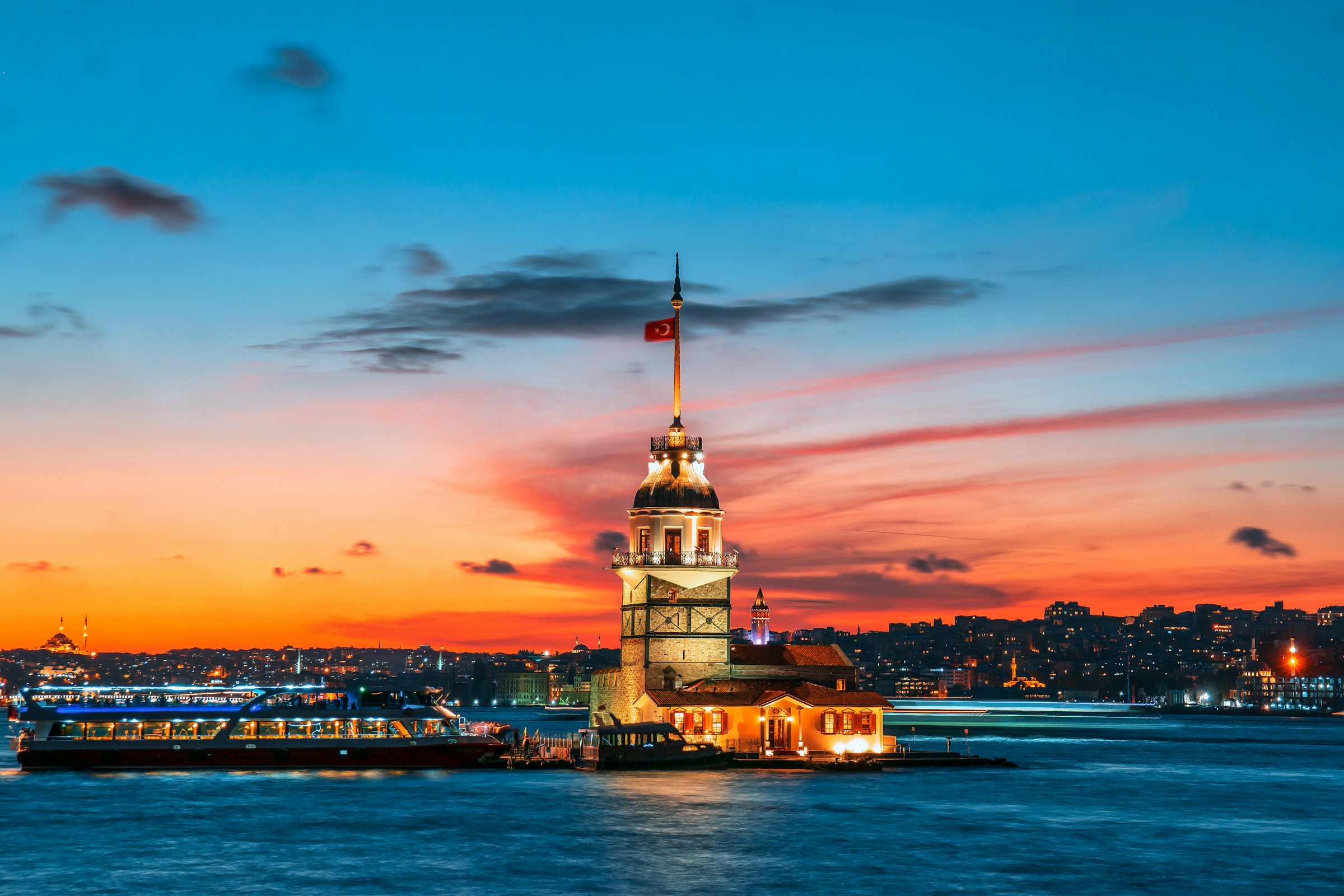

The Strait That Divides the World
At the heart of Istanbul’s continental split is the Bosphorus, a narrow ribbon of water that has shaped the destiny of civilizations. The Bosphorus is about 30 kilometers long and has a maximum width of roughly 3.7 kilometers at its northern entrance and a minimum width of just 750 meters between the Ottoman fortifications of Rumelihisarı and Anadoluhisarı. That narrowest point is startlingly tight, barely wide enough for some cargo ships to pass safely.
It is the world’s narrowest strait used for international navigation. Despite its modest dimensions, it functions as a hard continental boundary, separating the region of Thrace in Europe from the Anatolian peninsula in Asia. Its depth varies from roughly 36 to 408 feet in midstream, making it as deep as it is narrow.
A City Claimed by Two Continents
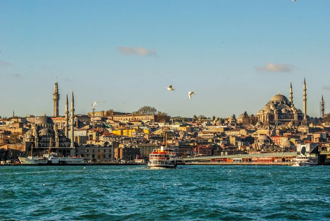
Istanbul extends both on the European side, known as Thrace, and on the Asian side, known as Anatolia, and is thereby the only metropolis in the world situated on two continents. That distinction is not shared by any other major city on earth. Three cities along the Ural River, including Orenburg and Magnitogorsk in Russia and Atyrau in Kazakhstan, are also considered transcontinental cities straddling Europe and Asia, but none comes close to Istanbul’s scale or historical weight.
Istanbul is Turkey’s largest city, with an area of about 2,063 square miles. That immense footprint makes the two-continent claim something more than symbolic. It is a lived, daily reality for millions of residents who wake up on one continent and commute to the other.
Where the Population Divides
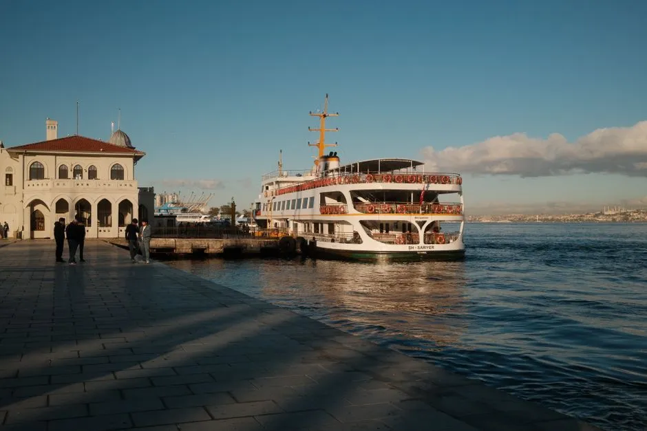
Istanbul is notable for being split between two continents, Europe and Asia, by the Bosphorus, and around one third of Istanbul’s residents live in Asia, east of the Bosphorus, while the rest live in Europe. That demographic split has persisted for generations, though the Asian side has grown considerably in recent decades as the city has expanded outward.
The European side is the city’s commercial center, home to banks, stores, and corporations, and hosts roughly two thirds of the population. Yet the Asian side, sometimes called Anatolia or the Anatolian shore, is increasingly popular for residential life, known for its quieter neighborhoods, local markets, and a more unhurried pace.
Bridges That Stitch Two Worlds Together
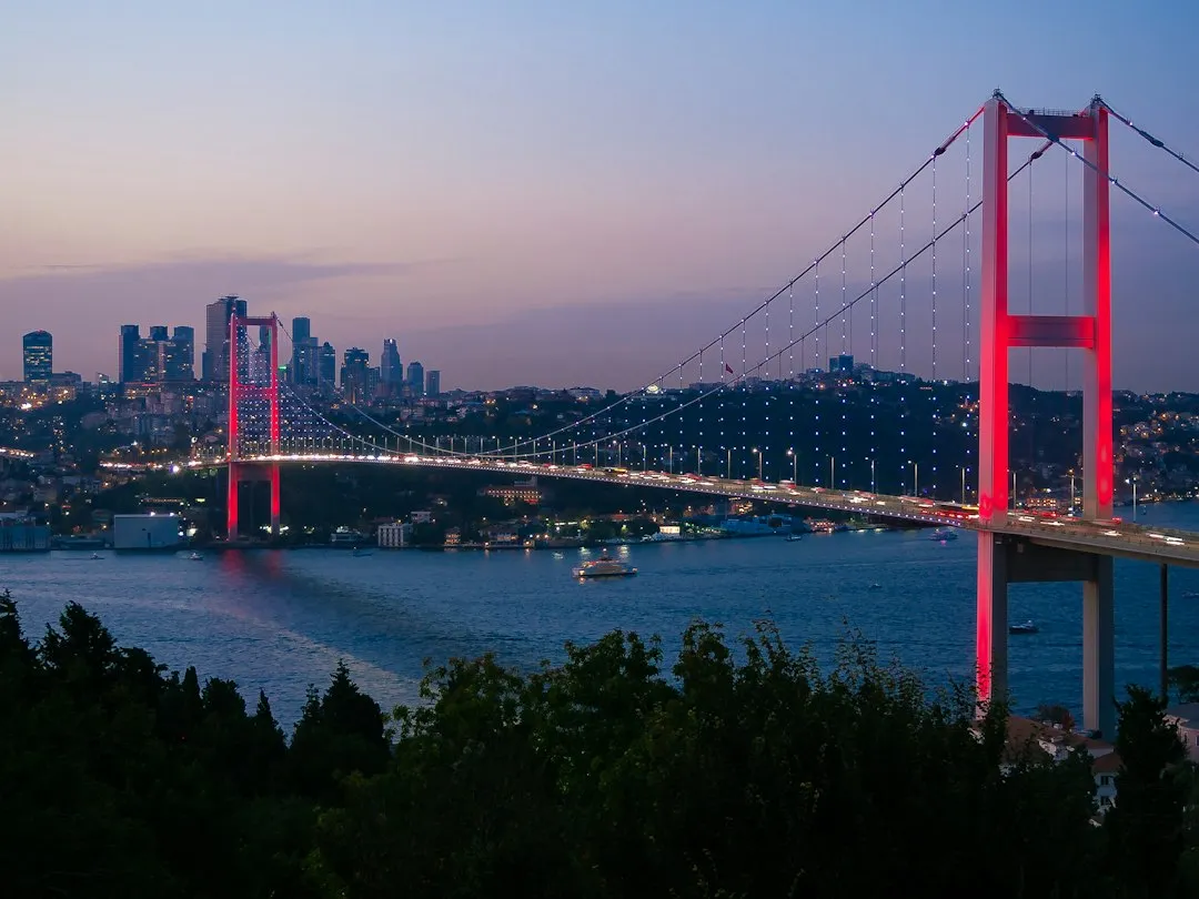
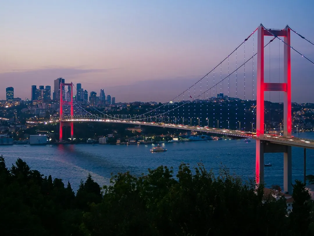
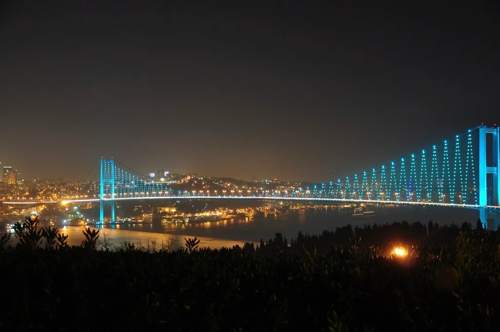
Three suspension bridges now cross the Bosphorus, each one a feat of engineering in its own right. The Bosphorus Bridge, officially known as the 15 July Martyrs Bridge, is the oldest and southernmost of the three suspension bridges spanning the Bosphorus strait in Istanbul, connecting Europe and Asia. It stretches 1,560 meters in length with a deck width of 33.40 meters.
The third crossing, the Yavuz Sultan Selim Bridge, is 2,164 meters in length with a main span of 1,408 meters, making it the longest of the three. Together, the bridges carry millions of vehicles each year, weaving the two sides of the city into one functioning urban fabric. The sight of any of them at dusk, lit against the water, is one of the more quietly spectacular views Istanbul offers.
Going Under the Bosphorus
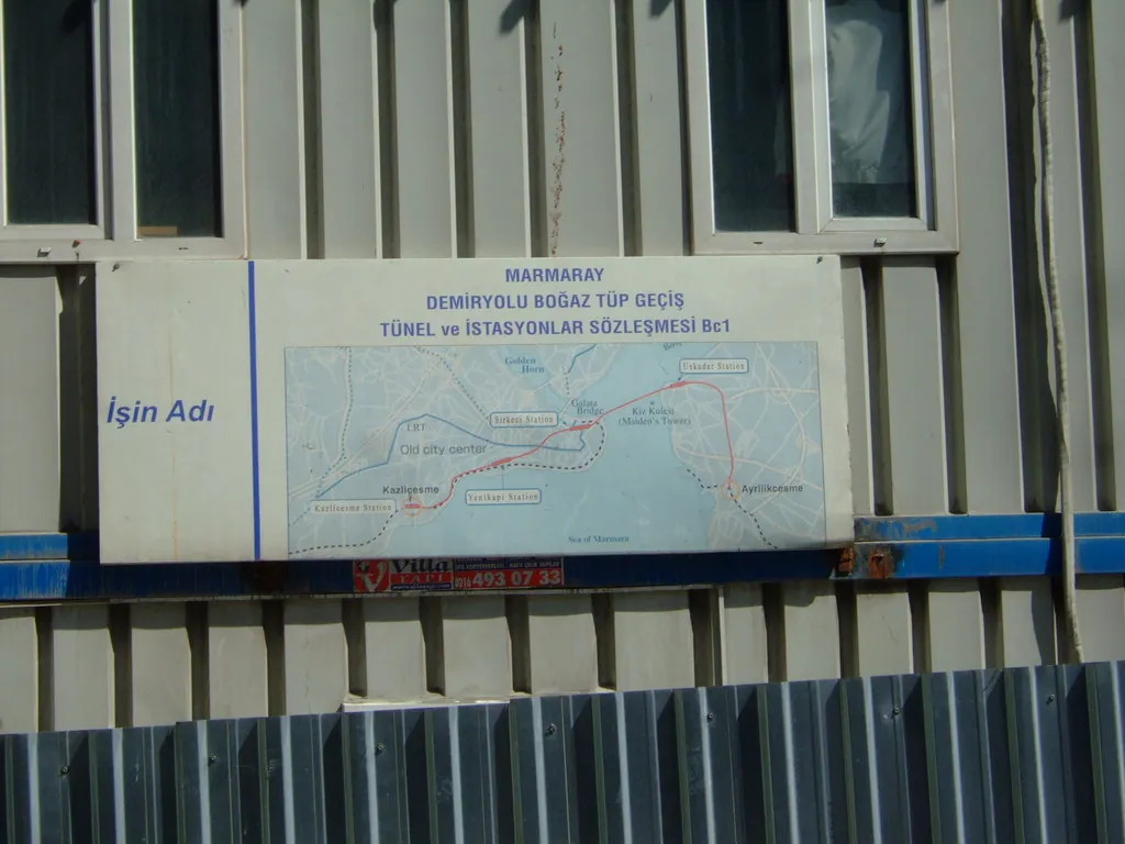
Bridges are not the only way across. Istanbul has bored through the seafloor to connect its two halves underground. The two sides of Istanbul’s metro are connected under the Bosphorus by the Marmaray Tunnel, inaugurated in 2013 as the first rail connection between Thrace and Anatolia, with a total length of 13.5 kilometers. The Marmaray Tunnel is the deepest immersed tube tunnel in the world.
Istanbul is stitched together across the Bosphorus with multiple bridges, two underwater tunnels, and ferries, and the newest road tunnel, the Eurasia Tunnel, opened on December 20, 2016, allowing cars to travel between the two continents in just 15 minutes. That convenience has fundamentally changed how Istanbulites think about the intercontinental divide.
The Ancient City That Started It All
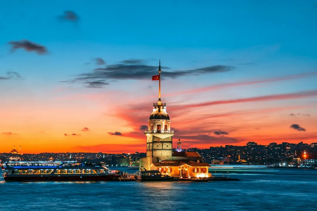
It was on the European side of the Bosphorus that the city of Byzantium was founded by the ancient Greeks around 660 BCE, the city which later became Istanbul. The founders chose the location with a clear eye for advantage: commanding hilltops, natural harbors, and the ability to monitor and control all maritime traffic between the Black Sea and the Mediterranean.
Because of its strategic location, Istanbul was central to the region’s trade routes, which linked Europe, Iran, the Arabian peninsula, the Horn of Africa, the Caucasus, the Russian steppe, the Balkans, and the Mediterranean Basin. Few cities in history have ever sat at such a concentrated intersection of the world’s most important corridors.
Empires Built on the Divide
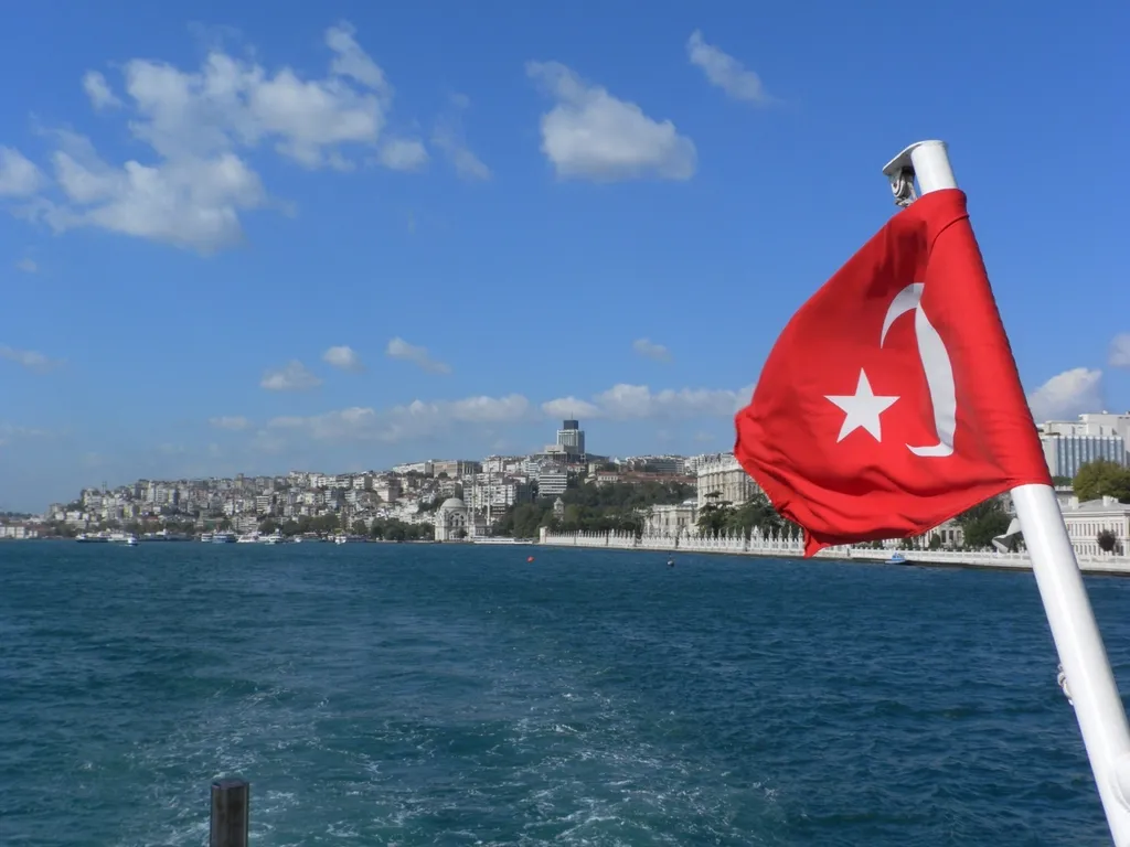
Istanbul was the capital of both the Byzantine and Ottoman empires, and strolling this sprawling, modern megalopolis today is like walking through a history book that spans thousands of years. The Byzantine Empire used the city’s continental position to guard itself from threats on multiple fronts. Because of the strait’s strategic importance for the defense of Constantinople, the Byzantine emperors and later the Ottoman sultans constructed fortifications along its shores, especially on the European side.
Originally one of many small Turkish states that formed in Anatolia in the 14th century, the Ottomans conquered the Byzantine Empire in 1453, established their capital in the newly renamed city of Istanbul, and moved on to conquer the rest of Anatolia and much of the Balkan Peninsula. For the Ottomans, controlling both sides of the Bosphorus was not just a military priority. It was an assertion of imperial identity.
Hagia Sophia: A Monument Shaped by Two Worlds
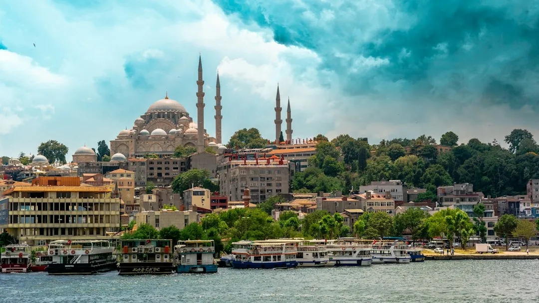
The current Hagia Sophia was built in the 6th century when Constantinople, as Istanbul was then called, was the heart of the Orthodox Christian Byzantine Empire that emerged as Ancient Rome’s domination dwindled and ruled swathes of Europe and northern Africa. It is considered the epitome of Byzantine architecture, and from its dedication in 360 until 1453, it served as the cathedral of Constantinople in the Byzantine liturgical tradition.
Built as a Christian church under Byzantine rule, it became a mosque after the Ottoman conquest in 1453, and was later secularized as a museum, only to regain its mosque status in 2020. Few buildings anywhere on earth carry the layered identities of two continents and multiple civilizations as visibly as Hagia Sophia does.
An Everyday Commute Between Continents
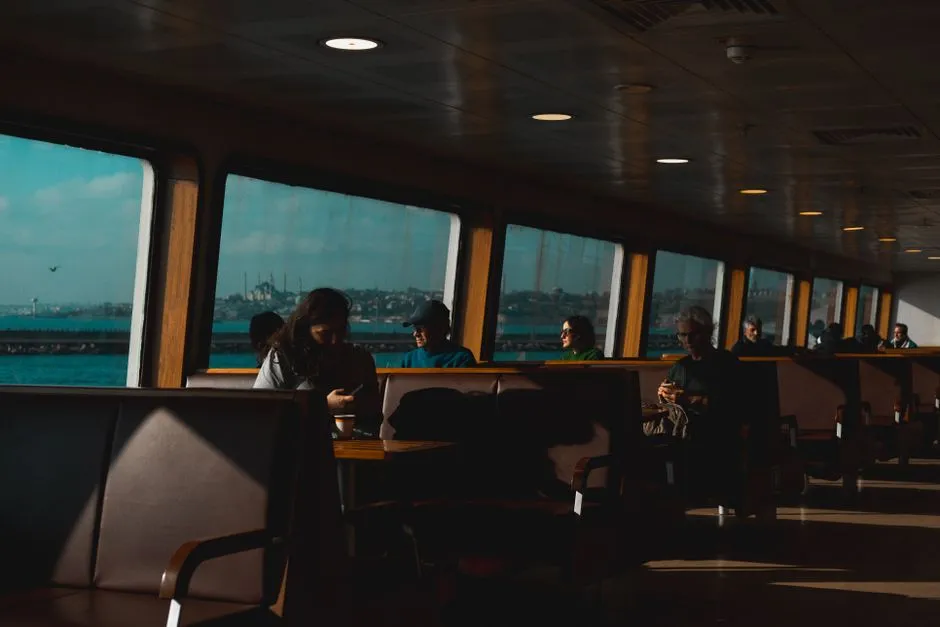
For most people, traveling to a different continent is a major trip involving passports and planes. In Istanbul, it is just a daily commute. Thousands of people cross the Bosphorus bridges or take underwater tunnels like the Marmaray every morning to go to work in Europe and return home to Asia in the evening. The sheer ordinariness of that journey is something visitors often struggle to absorb.
There is something genuinely unusual about watching a ferry slide across the Bosphorus at rush hour, loaded with commuters glued to phones or sipping tea, casually crossing one of the most historically significant waterways on the planet. The intercontinental commute is, in Istanbul, completely unremarkable.
A Name, an Identity, and Two Addresses
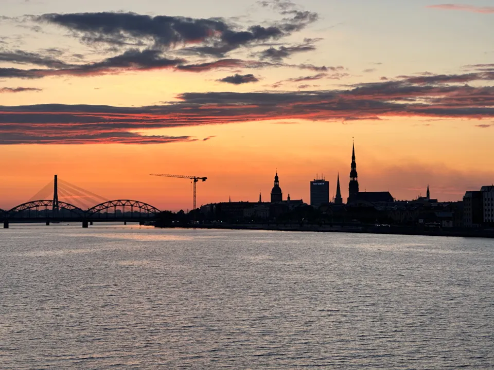
Previously, the city was known as Byzantium as well as Constantinople. In 1923 the capital moved to Ankara, and in 1930 the city that since 1453 had been called both Constantinople and Istanbul was officially given the sole, legal name of Istanbul. Each name reflects a different empire, a different faith, a different cultural center of gravity.
As the only major city spanning two continents, Istanbul is the physical and cultural bridge between Europe and Asia. That role is not just geographical metaphor. It shows up in the food, the architecture, the language borrowings, and the temperament of the city itself. Istanbul does not belong entirely to either continent, which may be precisely what has made it one of the most enduring cities in human history.
The Takeaway
Istanbul’s two-continent status is sometimes framed as a geographic curiosity, something to mention in a travel quiz or drop into a dinner conversation. In truth, it is much more than that. The Bosphorus created the conditions for one of the most strategically valuable, culturally layered, and historically consequential cities the world has ever produced. The city was not built despite the divide. It was built because of it.
Standing on any of its three great bridges, watching cargo ships move slowly beneath your feet from the Black Sea toward the Aegean, with Europe on one side and Asia on the other, it is hard not to feel the weight of that geography. Some cities are shaped by rivers. Istanbul was shaped by the edge of the world itself.
AI Disclaimer: This article was created with the assistance of AI tools and reviewed by a human editor.