
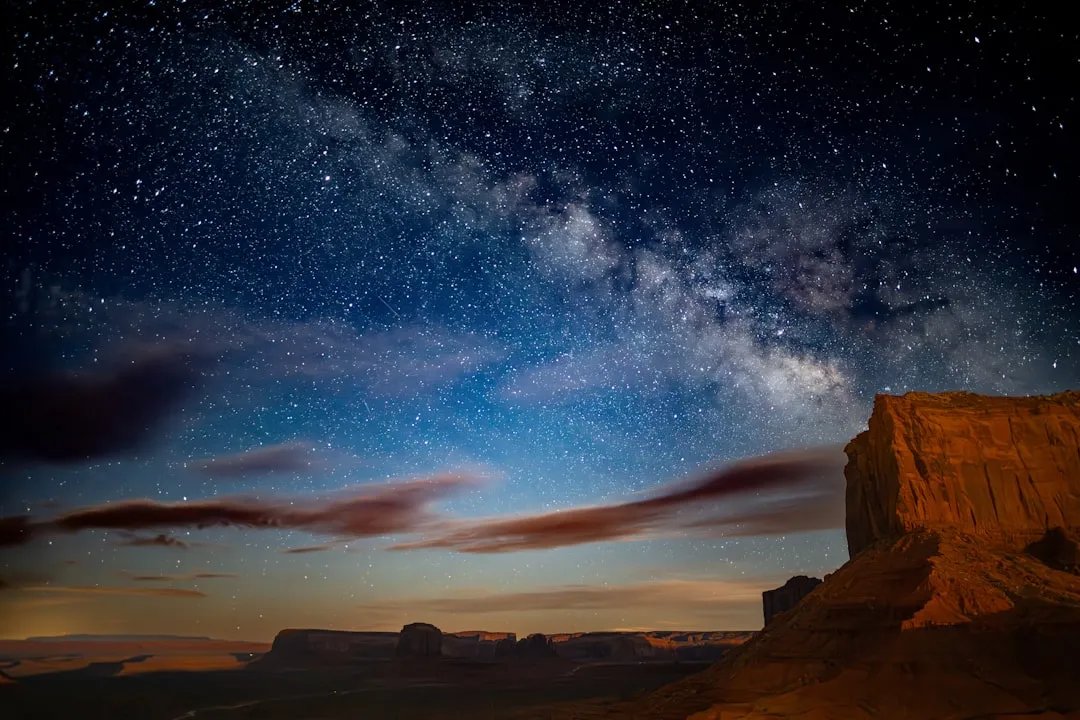

There is something quietly disorienting about standing in the middle of a high desert and realizing the ground beneath your feet is hollow. Vast stretches of the American West are underlain by ancient volcanic plumbing, carved not by water or wind but by rivers of molten rock that once moved silently underground. These landscapes look, at first glance, like barren wastelands. Look closer, and they reveal some of the most dramatic geology on the continent.
From the remote basalt fields of Idaho to the sun-scorched floors of the Mojave, America’s high deserts hide a world worth exploring slowly and with care. The lava tubes, craters, cinder cones, and spatter ridges scattered across these regions are not museum pieces. They are living chapters in one of Earth’s most active geological stories.
How Lava Tubes Actually Form
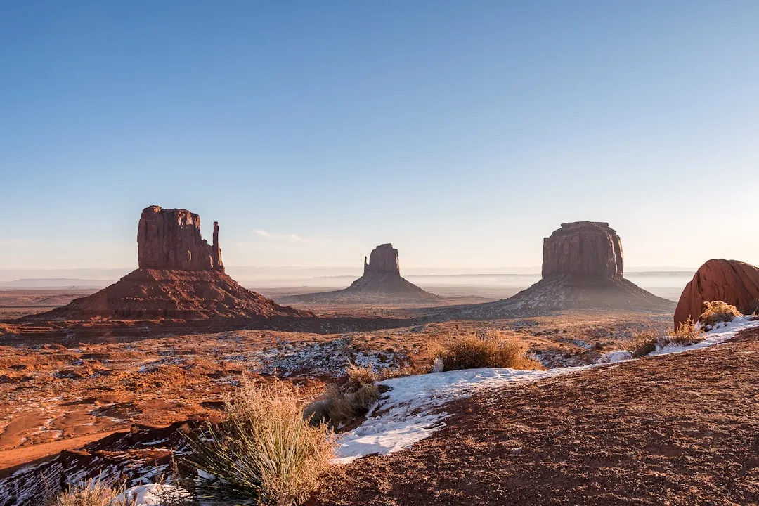
A lava tube is a type of lava cave formed when a low-viscosity lava flow develops a continuous and hard crust, which thickens and forms a roof above the still-flowing lava stream. The mechanics are surprisingly elegant. Near eruptive vents, lava flows are commonly fed by channels, and with time, the channel edges can build upwards and arch over the stream, eventually forming a roof and becoming a lava tube.
When the supply of lava stops at the end of an eruption or lava is diverted elsewhere, lava in the tube system drains downslope and leaves partially empty conduits beneath the ground. What remains is a cave. Such drained tubes commonly exhibit “high-lava” marks on their walls, generally flat floors, and many lava stalactites that hang from the roof.
Pahoehoe flow fields are often fed by a well-insulated underground tube system that carries the lava long distances and prevents it from cooling appreciably. This insulating efficiency is part of why some tubes extend for extraordinary distances beneath the desert surface, connecting vent to flow front over several miles.
Craters of the Moon, Idaho: A Geological Blueprint
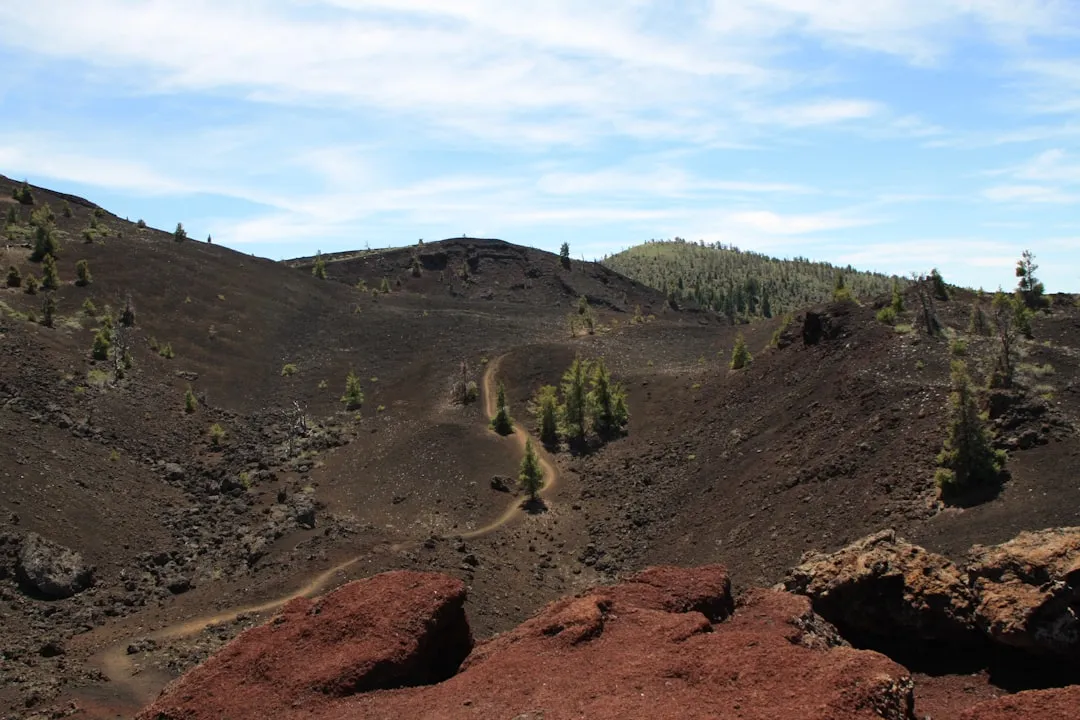
Craters of the Moon National Monument and Preserve is a 750,000-acre geologic wonderland, and its central feature is the Great Rift, a 52-mile-long crack in the Earth’s crust. The scale of it is genuinely hard to absorb in person. Exposed fissures, lava fields, lava tubes, craters, and cinder cones form a strangely beautiful volcanic sea on central Idaho’s Snake River Plain, shaped by eruptions that started 15,000 years ago – with the most recent activity occurring just 2,100 years ago, likely to continue in the future.
The 60 distinct solidified lava flows that form the Craters of the Moon Lava Field range in age from 15,000 to just 2,000 years. Within the monument, visitors can find nearly 618 square miles of exposed fissures, cinder and spatter cones, lava tubes and rivers, tree molds, and lava beds. Few places on the planet pack so much volcanic variety into a single protected landscape.
The Apollo Connection: When NASA Came to the Desert

In 1968, astronauts who were part of the Apollo 14 mission were sent to Craters of the Moon. The men – Eugene Cernan, Joe Engle, Alan Shepard, and Edgar Mitchell – were sent to explore the rugged terrain of the lava fields, because NASA felt they should learn how to take samples of volcanic rock in preparation for their mission to the moon. It’s a remarkable footnote that this Idaho desert served as a stand-in for the lunar surface.
Researchers have pointed out that Craters of the Moon lava tubes support diverse microbial communities and have some structural similarities to lava tubes on Mars. These Martian features, shielded from less hospitable surface environments, are of particular interest to scientists because of their potential to harbor biological communities. The scientific interest in Idaho’s high desert has only deepened in recent years.
Lava Beds National Monument, California: The Densest Tube Network in North America
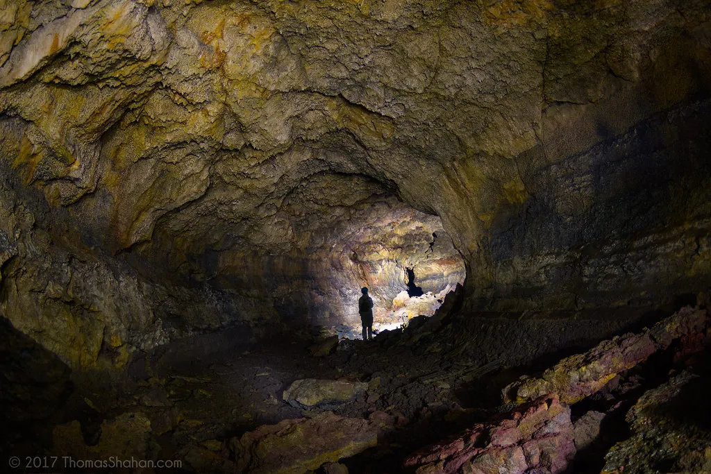
Lava Beds National Monument lies on the north slope of Medicine Lake shield volcano and contains the highest concentration of lava tube caves in North America. That is a remarkable distinction for a park that many visitors still overlook. At Lava Beds National Monument, visitors can explore more than 500 lava tube caves, created over the last half-million years by volcanic eruptions.
The monument lies on the northeastern flank of Medicine Lake Volcano, which is the largest volcano by area in the Cascade Range. Over the last half-million years, volcanic eruptions on the Medicine Lake shield volcano have created a rugged landscape dotted with diverse volcanic features, and more than 800 caves, Native American rock art sites, historic battlefields, and a high desert wilderness experience await visitors.
Sunshine Cave stands out from the rest due to its immense entrance and intense illumination, which has allowed plants to grow within the cave. The range of cave environments within a single park is striking – from ice formations in Indian Well Cave to the golden mineral deposits that coat the walls of Golden Dome Cave.
The Mojave’s Hidden Underground: Pisgah and the Cima Volcanic Field
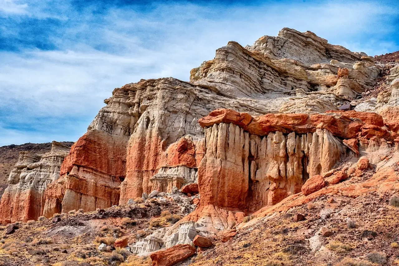
Pisgah Crater, or Pisgah Volcano, is a young volcanic cinder cone rising above a lava plain in the Mojave Desert, between Barstow and Needles, California in San Bernardino County. Despite its remote setting, it draws a steady flow of geology enthusiasts and curious hikers. Some say the volcano last erupted 2,200 years ago, though the general view based on paleomagnetic and cosmogenic dating suggests the last eruption probably took place around 20,000 years ago.
The mountain contains a large number of lava tubes which are frequented by cavers, with the most well-known being the 1,300-foot-long SPJ Cave. Nearby, the Cima volcanic field covers a surface area of 600 square kilometers within the Mojave National Preserve west of the Cima Dome, and consists of about 40 volcanic cones with about 60 lava flows. These overlapping volcanic systems give the eastern Mojave an almost layered geological depth that rewards patient exploration.
Two Kinds of Lava, Two Very Different Surfaces
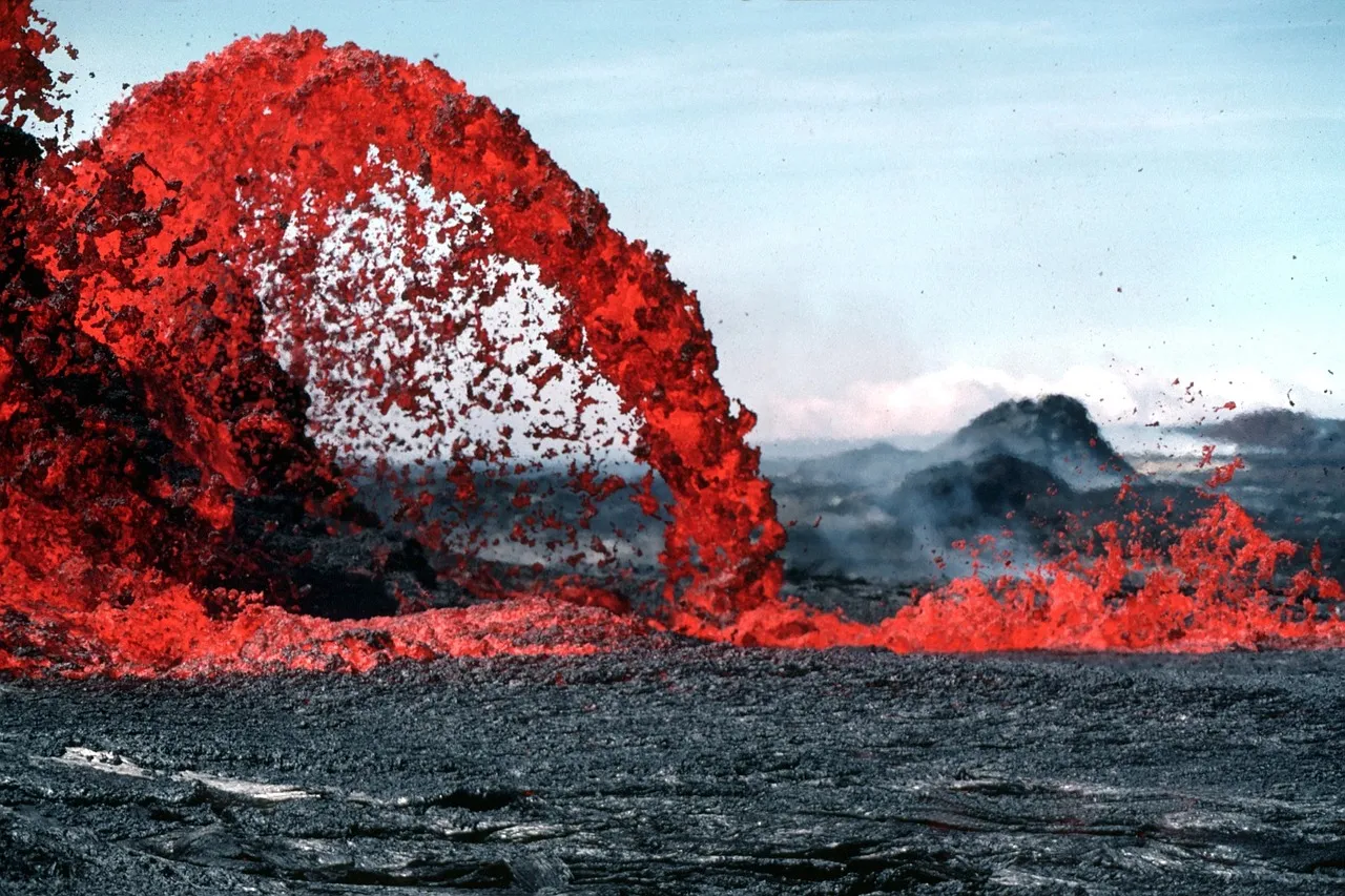
One of the most practical things to understand before walking any volcanic desert is the difference between the two main lava types you’ll encounter. Pahoehoe lava flows have surfaces that are typically ropy, billowing, hummocky, or smooth. They’re dramatic to look at and generally safer to walk on than their counterpart. Aa, pronounced “ah-ah,” is characterized by its rough-textured, loosely piled, and jagged appearance, and is notoriously difficult to travel across – sturdy hiking boots are strongly recommended.
Pahoehoe lava flows have an entirely different form, with a smooth, ropy texture, and lava flows can actually begin as pahoehoe and change to aa, as seen at Tabernacle Hill in Utah’s Black Rock Desert. Understanding which surface you’re crossing changes how you plan your route, how long it takes, and whether your boots survive the trip.
Utah’s Black Rock Desert: Volcanic Features in Plain Sight
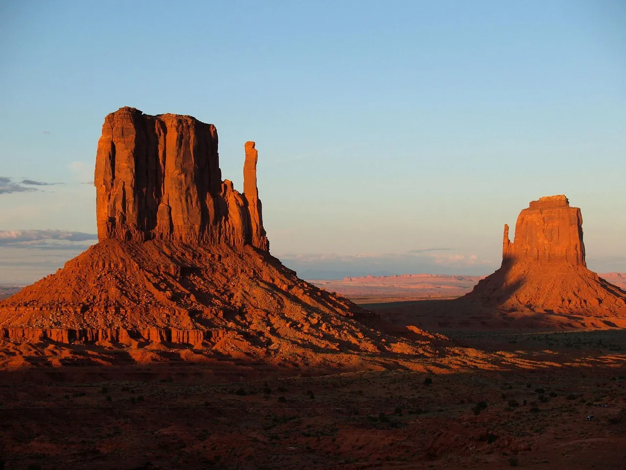
The Black Rock Desert is a volcanic area covering more than 700 square miles in eastern Millard County, where episodic volcanic activity has occurred from a couple million years ago up to a few centuries ago, leaving intriguing landforms including volcanic cones, lava tubes, pressure ridges, and craters. It’s one of the more accessible yet underappreciated volcanic landscapes in the American West.
Tabernacle Hill is reached by way of Lava Tubes Road, named for the caves in the area, where the lava tubes extend for hundreds of yards and formed as the surface of lava streams cooled, solidified, and crusted over. The subterranean lava then vacated the tubes as the supply of lava diminished, leaving behind empty conduits. Walking above these hollow chambers on a quiet morning, you can feel the geological strangeness of the place without really being able to explain it.
Cinder Cones, Spatter Cones, and the Craters Themselves
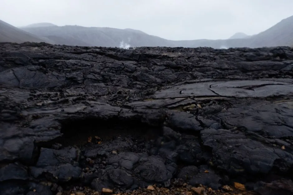
Not every volcanic feature in these desert landscapes is underground. The craters themselves are just as worth understanding. At Craters of the Moon, both the Spatter Cones and Big Craters sit directly along part of one of the fissures of the Great Rift. Spatter cones are created by accumulations of pasty, gas-poor lava as they erupt from a vent, and two of the spatter cones in the area can be accessed by short trails where visitors can look inside the cones.
The Tree Molds Trail at Craters of the Moon is an area where lava flows overran part of a forest. The trees were incinerated, but as some burned they released enough water to cool the lava to form an impression, and some of these casts survived the eruption and mark the exact location and shape of the burning trees in the lava. It’s the kind of detail that makes ancient geology feel startlingly immediate.
Practical Wisdom: Visiting These Landscapes Responsibly
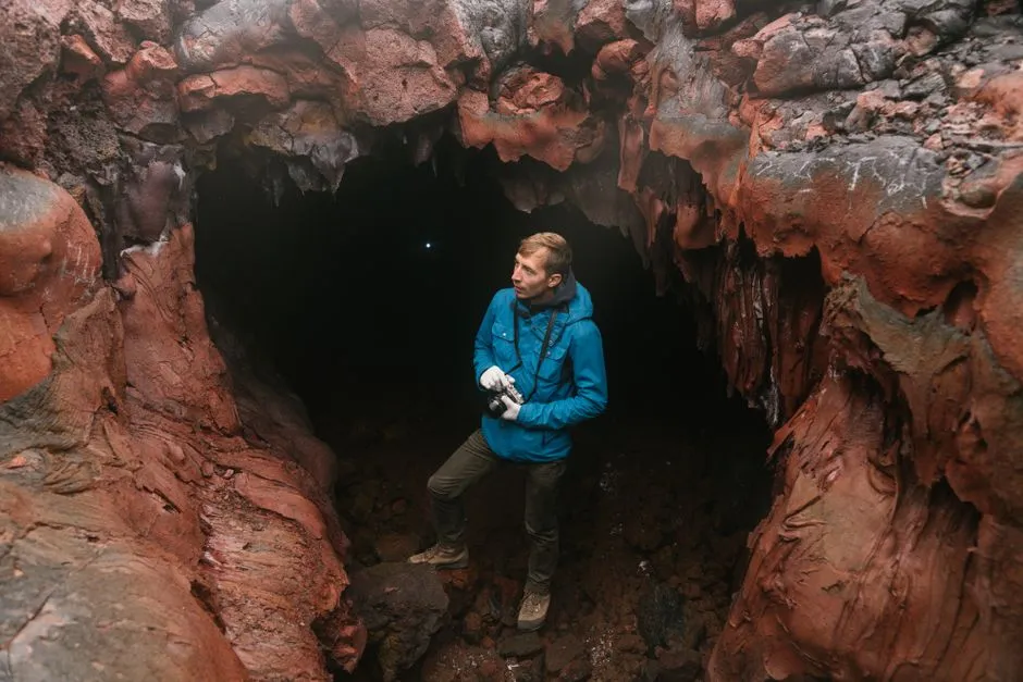
These desert volcanic landscapes are as fragile as they are dramatic, and there are real considerations worth taking seriously before you go. A free cave permit is required to enter the lava tube caves at Craters of the Moon, obtainable during business hours at the visitor center. Cave permits also serve to protect bats, and flashlights and closed-toe shoes are strongly recommended for all cave visits.
The lava tubes can pose real dangers – it is hard to see inside the caves without good light, and the rocks can be sharp. Comfortable temperatures above ground can shift quickly, particularly in the Mojave where temperature extremes are common; winter daytime temperatures can be pleasantly in the upper 50s Fahrenheit but drop into the 30s at night. Going prepared matters as much as going at all.
Dark Skies, Starlight, and the Full Desert Experience

One unexpected reward of visiting these high desert volcanic parks is what happens after sunset. Craters of the Moon was designated an International Dark Sky Park in 2017, which means there will be no shortage of stars to observe. The combination of dark lava fields and unpolluted skies creates conditions for stargazing that rival some of the best spots in the country.
Lava Beds National Monument is also considered a dark-sky preserve – the high altitude and remote environment of the park limits the amount of artificial light pollution. Spending a night in either of these places, with ancient volcanic rock beneath you and a clear desert sky above, puts the geological timescales you’ve been reading about into something approaching perspective. The craters were formed by eruptions thousands of years ago. The stars you’re looking at are older still.
Conclusion
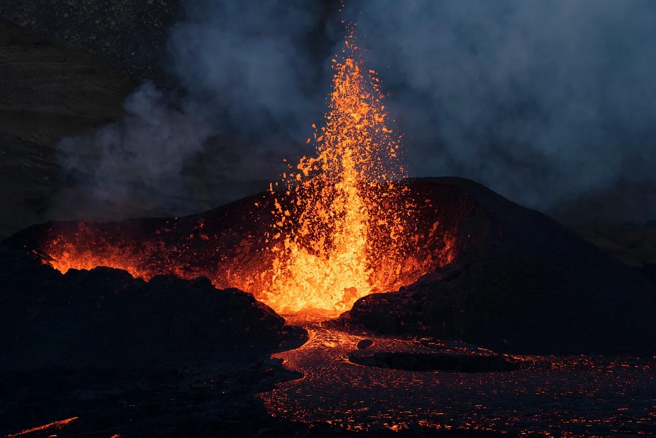
America’s high desert volcanic landscapes are not the most immediately obvious destinations for travelers seeking beauty or inspiration. They ask something of you – patience, sturdy footwear, a headlamp, and a genuine curiosity about what lies beneath the surface of things. In return, they offer geology that is rare, history that runs from ancient Indigenous cultures to Apollo astronauts, and a quietness that is increasingly hard to find.
Whether you’re crouching inside a lava tube in northern California, standing on the rim of a cinder cone in Idaho, or watching the low desert light shift across a pahoehoe field in the Mojave, these places reward slow attention. The Earth made something extraordinary here. It’s still worth going to see it.
AI Disclaimer: This article was created with the assistance of AI tools and reviewed by a human editor.