
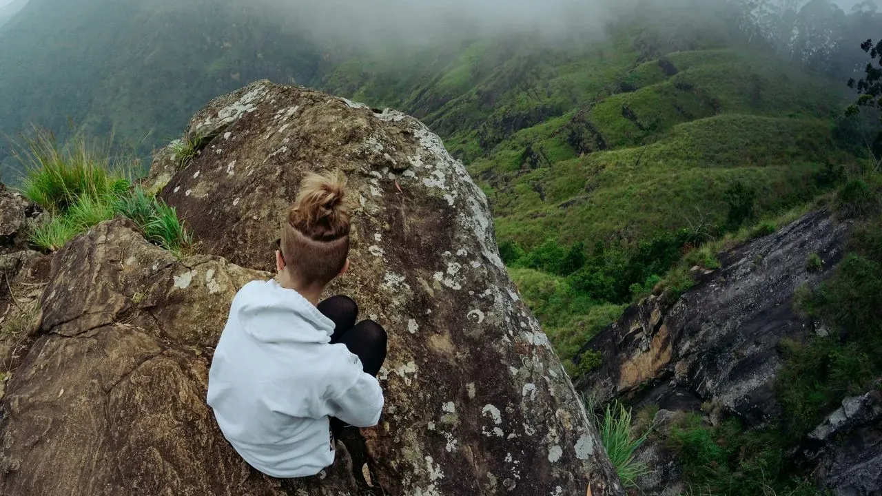

Ella sits in Sri Lanka’s central highlands, where rolling tea estates meet dramatic ridges. The village itself draws visitors with its mix of quiet lanes and bustling main street, yet the real draw lies beyond the shops and cafes. A walk to the summit of Ella Rock reveals the broader landscape that defines this corner of the island. The route begins at the railway station and follows a working line before branching into plantations and steeper ground. Hikers who prepare with basic navigation tools and an early start often find the journey both straightforward and memorable.
Leaving the Station Behind
The trail starts at Ella railway station, where walkers step onto the tracks and head toward Kithalella. This initial stretch runs alongside the active line, offering open views of the surrounding hills. Trains pass regularly, so stepping aside remains essential when one approaches. After roughly forty minutes the path reaches the smaller Kithalella station. Continuing past it keeps the route on course. Local signs and occasional offers of guidance can appear along the way, yet staying with the tracks and later markers prevents unnecessary detours.
Turning Toward the Plantations
A short distance beyond Kithalella, a rock marked with a blue arrow signals the left turn onto the footpath. The marking has changed over time yet remains recognizable to those watching for it near the kilometer posts. From there the trail crosses a footbridge and enters the tea fields. The path climbs steadily through the plantations. Tall grass sometimes obscures the way, but keeping straight rather than branching off maintains progress. An interim viewpoint appears after the grass gives way, providing a first broad look across the valleys before the final ascent.
The Final Climb and Summit Views
Beyond the interim point the trail steepens toward the rocky summit. The effort rewards with sweeping vistas of tea estates, distant ridges, and the layered hill country that stretches in every direction. Many visitors linger here to rest and take in the scene before descending. On the return, some walkers choose an alternate path from the viewpoint that follows other groups heading downhill. Recent updates note a modest entry fee now collected at the main viewpoints, with facilities added for visitors.
Planning a Respectful Visit
An early departure from the station helps avoid the strongest midday sun. Sensible footwear, water, and sun protection support comfort on the steeper sections, which can turn slippery after rain. Staying on the established route also helps protect the surrounding vegetation and reduces encounters with unofficial guides.
Travelers often combine the hike with time in the wider region, where the railway itself offers another way to experience the landscape. The full round trip covers about ten kilometers and typically takes three to four hours plus time at the top. The walk to Ella Rock connects the village with the wider highlands in a direct, physical way. Those who follow the route with care return with a clearer sense of the terrain that shapes daily life and scenery in this part of Sri Lanka.
AI Disclaimer: This article was created with the assistance of AI tools and reviewed by a human editor.