
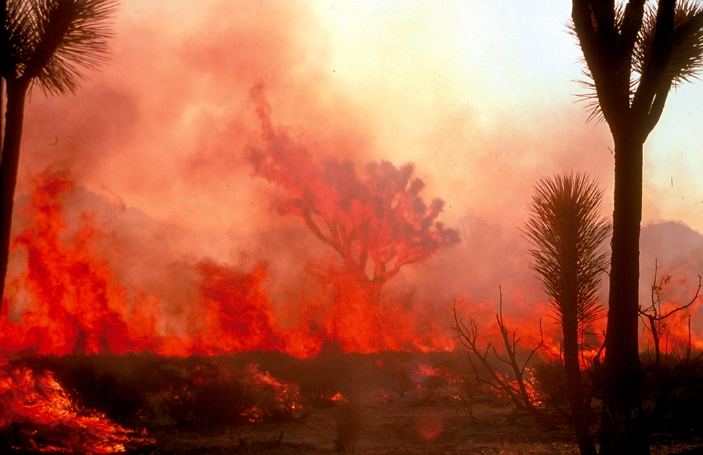

The Scale of the Problem Is Bigger Than Most People Realize
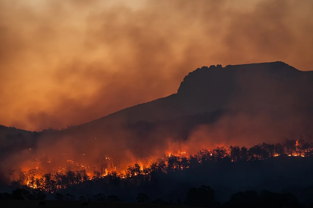
The numbers behind recent wildfire seasons are striking. In 2024 alone, nearly 65,000 fires burned across the United States, consuming over 8.9 million acres in total. By mid-August 2024 specifically, approximately 5.3 million acres had burned in the western US, triggering fire advisories and large-scale resource deployment.
Per-person exposure to harmful wildfire smoke in the US was four times higher during 2020 to 2024, on average each year, than during 2006 to 2019, according to data from Stanford University’s Environmental Change and Human Outcomes Lab. That jump isn’t a rounding error. It represents a genuine shift in what everyday life, and everyday travel, looks like across the region.
Smoke Season Now Stretches Beyond Summer
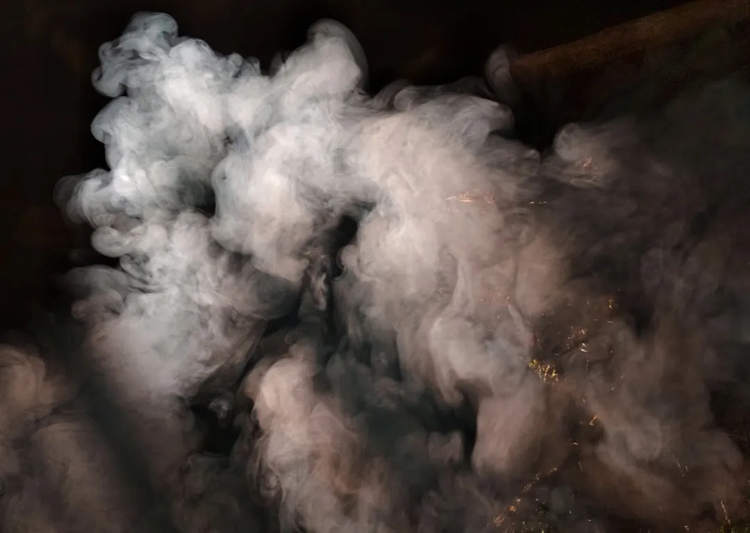
While most wildfires in the United States occur from May to November and peak in August, the length and severity of recent wildfire seasons have increased due to climate shifts. That extended window matters enormously for travelers who once considered shoulder seasons a safe workaround.
In January 2025, multiple fires in Los Angeles County, including the Palisades, Eaton, and Hurst fires, prompted smoke advisories and unhealthy air quality conditions, an important reminder that smoke risk isn’t limited to peak summer months. Wildfires outside of the traditional fire season are becoming more common due to climate change and changing weather patterns.
Smoke Travels Far Beyond the Fire Lines
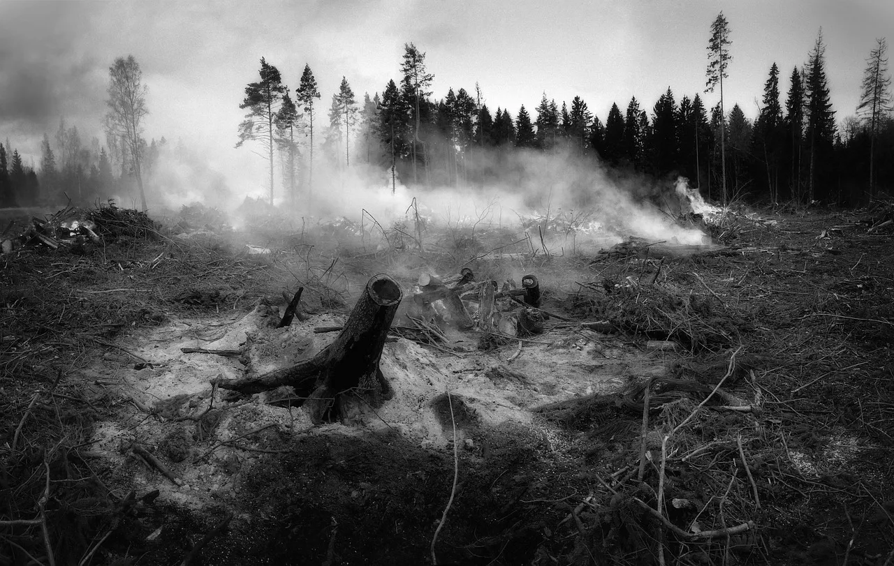
Wildfire smoke can spread hundreds or even thousands of miles away, harming health far from areas with active fires. For Western travelers, this means a perfectly clear destination can turn hazy within hours, depending entirely on where the wind is blowing.
One of the defining characteristics of recent wildfire seasons is the enormous geographical reach of wildfire smoke. Even regions located hundreds or thousands of kilometers away from active fires have experienced declining air quality as atmospheric conditions transport microscopic particulate matter across international borders. During several periods this season, air quality alerts affected numerous major urban centers including Minneapolis, Detroit, Toronto, New York City, and Boston. The reach of western smoke is now a national issue, not a regional footnote.
National Parks and Scenic Destinations Are Feeling the Pressure
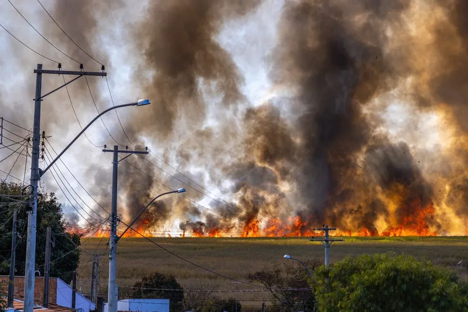
Firefighters and emergency air support teams are defending popular destinations ranging from California’s Big Sur coastline along Highway 1 to the Yellowstone and Glacier national park regions, where heavy smoke drift and trail closures have forced travelers to cancel holiday itineraries. These are among the most iconic landscapes in the country, and they’re increasingly vulnerable to smoke disruption during peak visitor months.
National parks, scenic highways, wilderness lodges, campgrounds, and outdoor adventure operators are all experiencing greater uncertainty surrounding seasonal demand. Bad weather has a notoriously big impact on small businesses in the tourism sector, and smoke, for many operators, has become an unpredictable new form of weather.
Colorado Tourism Is Navigating Real Trade-Offs
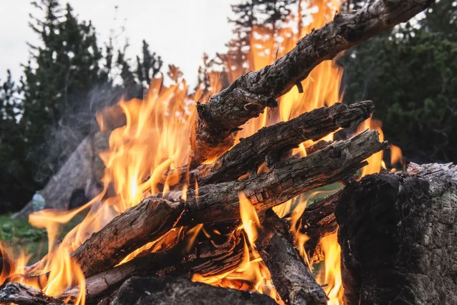
Colorado’s tourism office said it is working closely with impacted destinations while continuing to promote responsible travel across the rest of the state, noting that while some communities are experiencing significant wildfire impacts, much of Colorado remains open and ready to welcome visitors. It’s a careful message, and a necessary one.
Multiple roads are affected by wildfires around Colorado, and wildfires are now reaching areas that never worried before. For outdoor enthusiasts like rafters, wildfire smoke is just one more thing to contend with, layered on top of Colorado’s severe drought, which remains the biggest underlying challenge.
How the Health Risks Are Reshaping Outdoor Activity
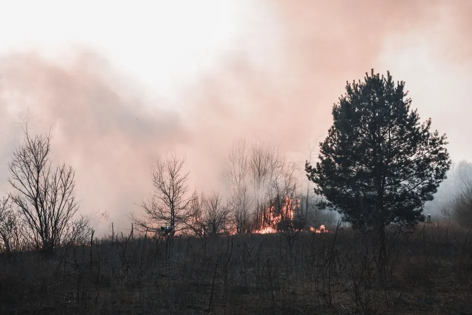
The health effects of short-term PM2.5 exposure from smoke can range from relatively minor, such as eye and respiratory tract irritation, to more serious health effects including exacerbation of asthma and heart failure and premature death. These aren’t abstract risks for hikers and cyclists spending full days outdoors in smoky mountain air.
When people breathe in wildfire smoke, tiny particles can make their way deep into the lungs and even into the bloodstream, causing a range of health effects from minor irritation to serious cardiovascular and respiratory illness. Wildfire smoke is hazardous for everyone, but some people face higher risks, including the elderly, pregnant people, children, and those with chronic conditions such as asthma, COPD, and heart disease. Families planning multi-week wilderness trips have genuinely new factors to weigh.
Travelers Are Adjusting Their Behavior, Quietly but Noticeably
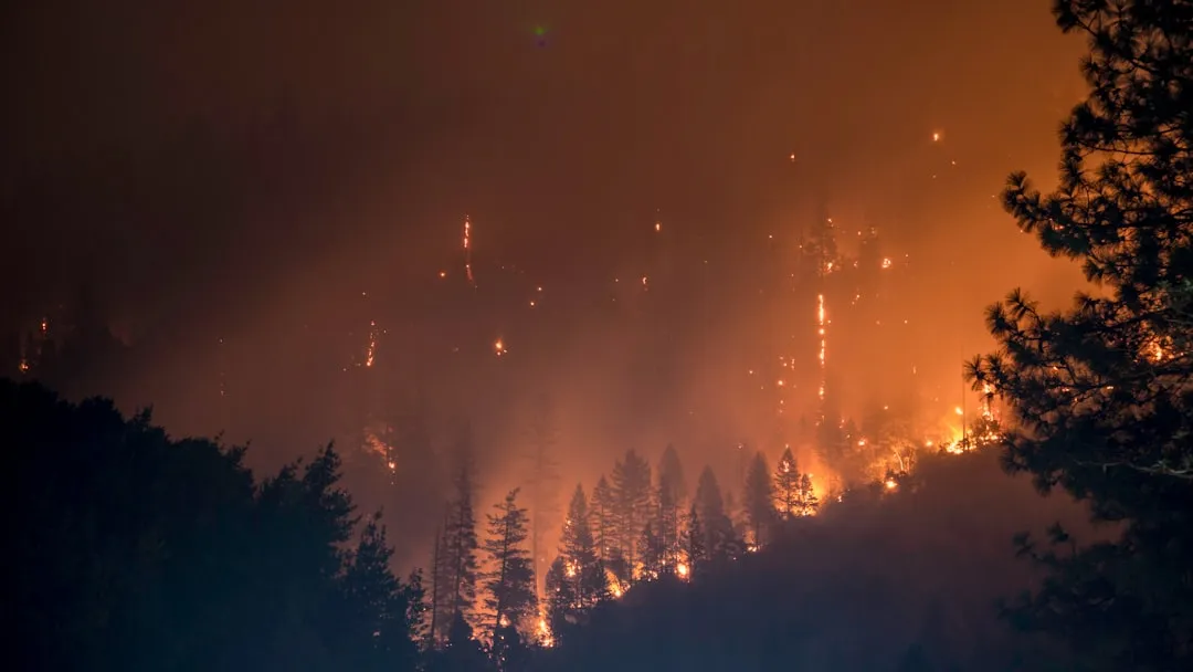
Visitors are increasingly monitoring wildfire conditions alongside weather forecasts before confirming holidays. Air quality apps and real-time fire maps have gone from niche tools to standard pre-trip research. The behavior shift is subtle, but it’s consistent.
Given the health risks, people want to reduce their exposure to outdoor PM2.5, and air pollution forecasts offer a potential mechanism for modifying individual behavior to achieve this reduction. Apps like Watch Duty let users see a real-time map of current wildfires, and their adoption among Western travelers has grown considerably in recent seasons.
Insurance and Cancellation Policies Haven’t Fully Caught Up
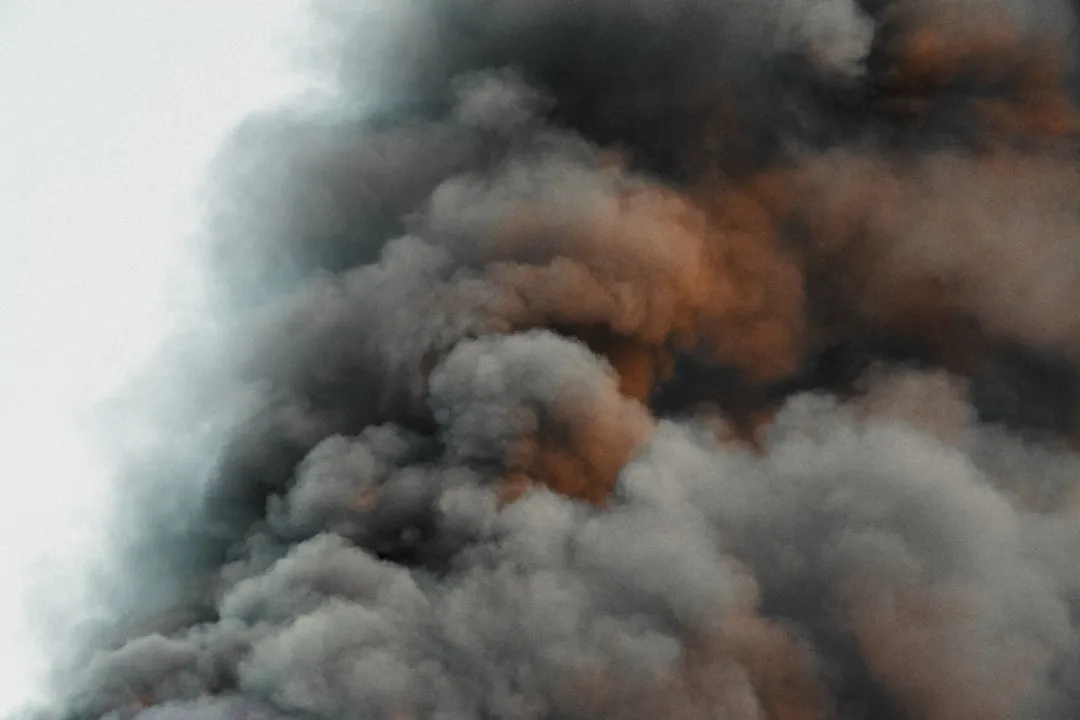
One of the quieter frustrations travelers are running into involves what happens financially when smoke disrupts a trip. To travel insurers, a heat wave, smoke, or a bad forecast alone are not covered reasons for cancellation, yet widespread evacuations, destroyed accommodations, or an official order preventing access can change the equation.
Airbnb’s Major Disruptive Events Policy covers unforeseeable natural disasters and severe weather, plus mandatory government evacuation orders, but weather common enough to be foreseeable in a given location is usually excluded. During the January 2025 Los Angeles fires, for instance, one guest with a rental near Pacific Palisades was told her cancellation didn’t qualify. It’s a gap that leaves many travelers without a clear safety net.
Local Communities and Tourism Businesses Are Adapting
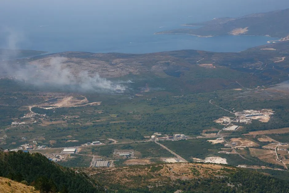
Visit Central Oregon, the tourism marketing agency, has been promoting a hyperlocal smoke map this summer, partly to prevent unnecessary cancellations in towns that weren’t affected. Hyper-local communication has become an essential tool for destinations that want to reassure visitors without overpromising.
Summer businesses that rely on all the summer tourism have really been turned off during the worst smoke events, as officials in Minnesota described in July 2026. For those who do decide to cancel, being mindful of the small businesses affected matters. Respecting cancellation policies, even without a full refund, and opting for a credit toward a future trip where possible can meaningfully support local operators through a difficult season.
The Climate Drivers Are Not Going Away
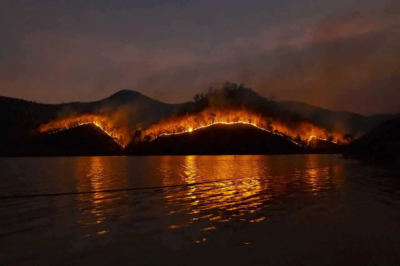
Human-caused climate change has fueled more fire activity in the western US, increased the frequency and intensity of fire weather, and expanded burned areas across the country. Warmer temperatures are causing snow to melt earlier in spring and delaying fall precipitation, drying out vegetation and soils. These are the structural conditions that make each new season more combustible than the last.
Wildfires are happening more often and becoming more extreme due to conditions exacerbated by climate change, among them warmer temperatures, reduced precipitation and snowpack, drought, and tree deaths. The economic costs of poor air quality include lost workdays, reduced productivity, increased healthcare costs, environmental damage, and lost ecosystem services, including tourism, agriculture, and flood protection.
The Takeaway for Western Travelers
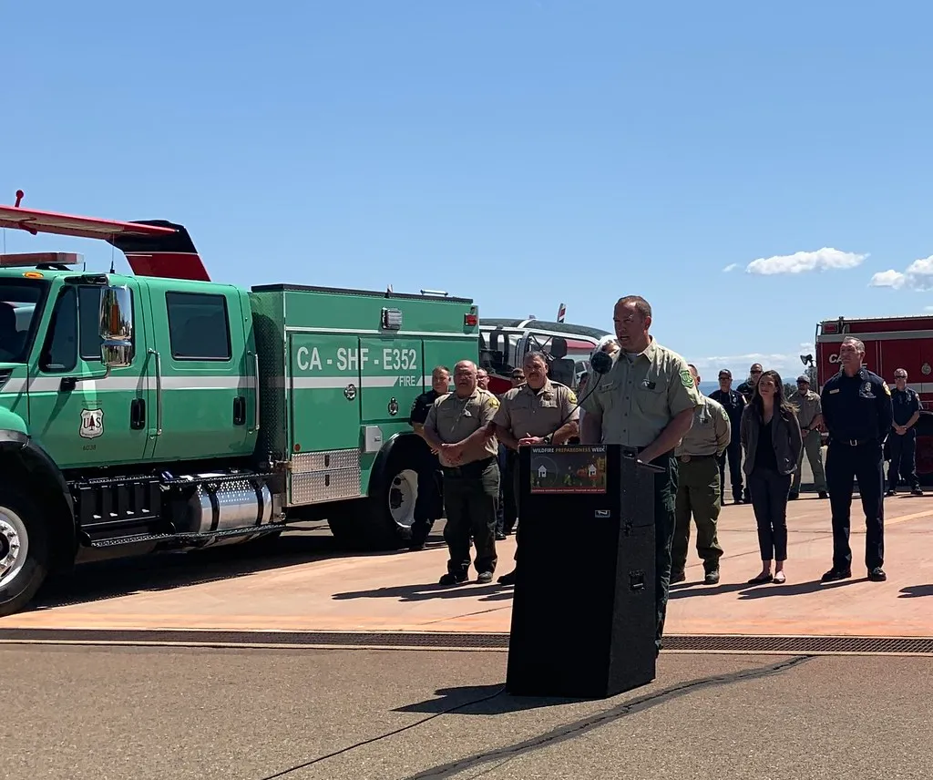
Planning a trip to the American West in 2026 means thinking in layers. Fire maps, AQI trackers, and flexible booking policies have joined the packing list as genuine travel essentials. From a practical standpoint, the best approach is to monitor active incident maps on InciWeb and cross-reference road closure databases before driving into fire country, and to carry N95 masks while checking indoor filtration options and limiting outdoor activities when AQI levels exceed safe limits.
The West’s landscapes are still extraordinary. The trails, rivers, and canyon country haven’t gone anywhere. What has changed is that traveling through them now requires a kind of environmental literacy that simply wasn’t expected of visitors a generation ago. That’s not a reason to stay home. It’s a reason to show up better prepared, more flexible, and with a genuine understanding of what the region’s communities are navigating each season.
AI Disclaimer: This article was created with the assistance of AI tools and reviewed by a human editor.