

Most travelers driving Highway 101 zip right through without stopping. The fog is thick, the turnoffs are easy to miss, and the villages are small enough that the GPS barely registers them. Yet tucked along Oregon’s central and north coast are places where the clocks seem to have genuinely stopped, where fishing boats still outnumber tourist shuttles and the loudest sound at dusk is the tide pulling back over basalt.
Oregon is famous for Portland, Crater Lake, and the stunning coast, but hidden between those big attractions are tiny towns most travelers zoom right past. The one this article is about isn’t one place exactly. It’s a feeling, a specific quality of stillness that a handful of these villages share. The clearest example of it lives in two communities in particular: Yachats and Oceanside.
A Village That Refused to Grow Up: Yachats at a Glance
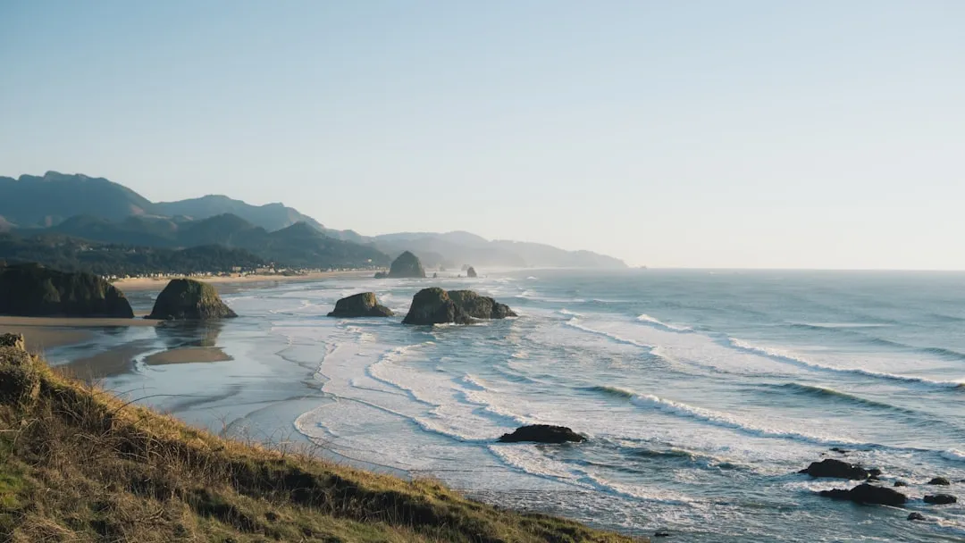
Yachats is a tiny village of roughly 700 residents sitting at the foot of Cape Perpetua, and it’s home to Thor’s Well, a natural sea drain that appears to swallow the ocean whole at high tide. That relatively unchanged population is part of what defines the place. Along Oregon’s Pacific shoreline, Yachats has been a fishing, logging, and farming community since the 1800s, and while it has transformed into an artsy seaside retreat over time, wandering its streets still feels like a modest fishing village with small, shiplap cottages and narrow city streets.
The name “Yachats,” pronounced “YAH-hots,” comes from a Siletz Indian word meaning “dark water at the foot of the mountain.” That etymology alone tells you something about the depth of history embedded here. This is not a place that was invented for tourists. It evolved slowly, reluctantly, on its own terms.
The Indigenous Roots That Shape the Ground Beneath Your Feet

For at least 6,000 years, Native Americans hunted for mussels, crabs, sea urchins, and clams along the coast near Cape Perpetua. Cape Perpetua was part of the southern territory of the Alsea people, and in their language the cape was named Halqaik, which might mean something like “exposed place.” The land here carries memory in a way that most visitors sense without quite being able to articulate.
Yachats’ early history throughout the early 1800s is filled with painful accounts involving local native tribes who occupied the region, such as the Coos, Lower Umpqua, and tribes with names similar to Alsea and Yachats. One version of the tribal name garbled through colonial records is Ya’hatc, which is likely closest to the original pronunciation. Forced relocations drove indigenous peoples from their hunter-gatherer existence by the sea. Understanding this history is part of traveling these shores with the full weight of awareness they deserve.
The Town That Got Its Name in 1922: Oceanside’s Unusual Origin
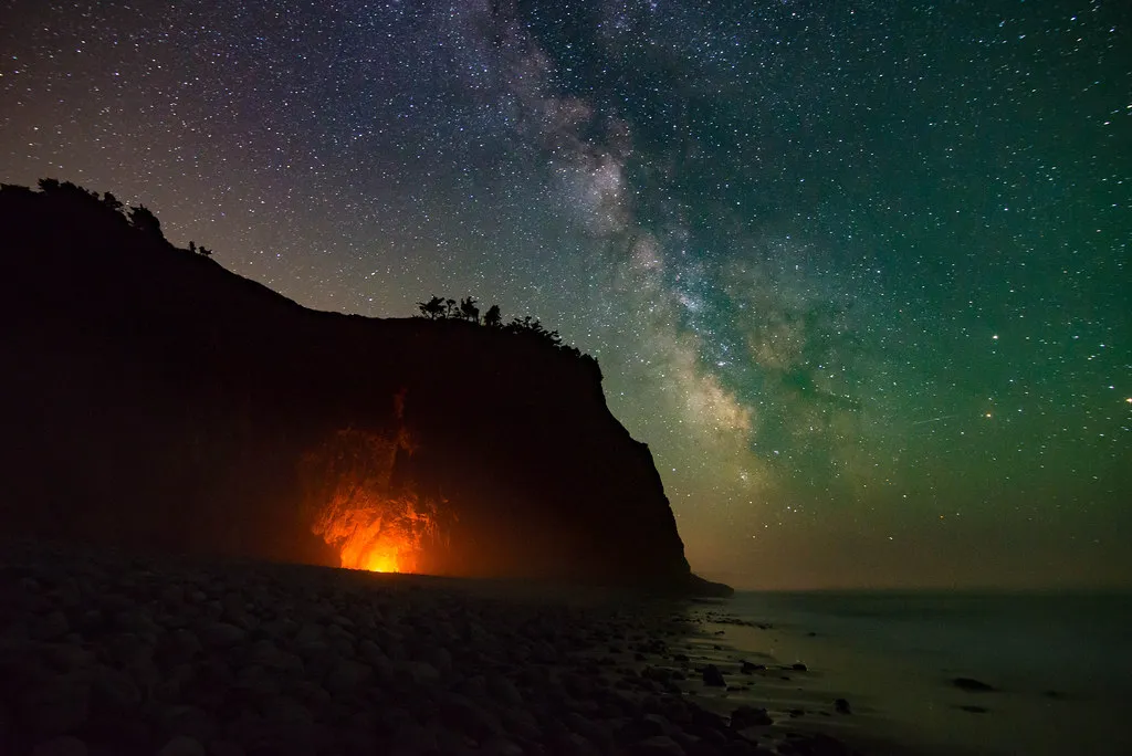
The Rosenberg brothers bought 320 acres of oceanfront from the estate of John W. Maxwell in 1921, platted the town of Oceanside in 1922, and attempted to build a coast resort to rival Cliff House. In 1926 they hired a miner with blasting powder to drive a 90-foot passage through the base of Maxwell Point so resort guests could reach the beaches on the other side. That tunnel still exists today, and walking through it remains one of the more disorienting and wonderful things you can do on the entire Oregon coast.
The village consists of homes cascading down the hillside, with no stoplights or chain stores to break the spell of coastal authenticity. Its transformation into a resort never fully materialized, which is precisely why it retains this quality of incompletion, of something waiting. From certain angles, the village appears unchanged from a century ago, exactly how residents prefer it.
The Tunnel That Splits the Beach in Two
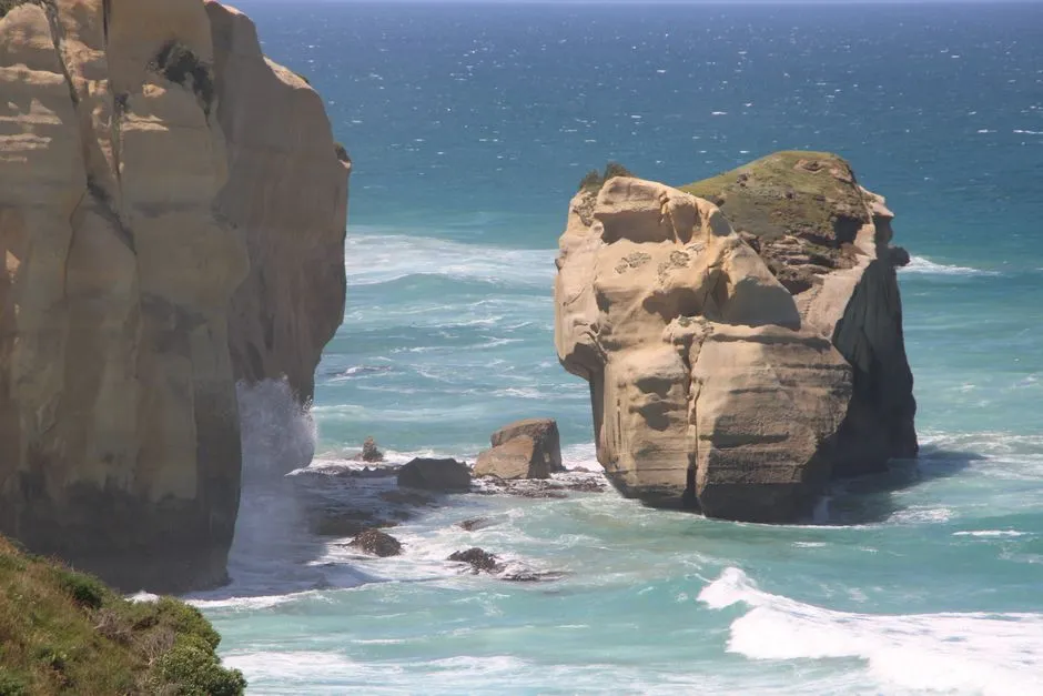
Tunnel Beach is a stretch of sand, cobble, and driftwood that you cannot see from anywhere in Oceanside. It sits behind Maxwell Point, a 161-foot basalt headland that once cut off the entire north stretch of beach. To get there, you walk through a 90-foot tunnel that two brothers blasted through that headland in 1926 with dynamite and shovels. The tunnel itself has been through its own dramas over the decades.
The exterior has been covered over numerous times over the last hundred years as landslides smother it. It was closed for years in the 1980s. The most recent shutdown happened at the end of 2020, but only lasted for a week or two. Timing your visit around the tides is essential. The simplest plan that works for almost any visit: aim to enter the tunnel two to three hours before low tide. That gives you a falling tide on the way in, low tide while you are exploring, and a generous buffer on the way back before the tide turns.
Three Arch Rocks: America’s First Wildlife Refuge West of the Mississippi
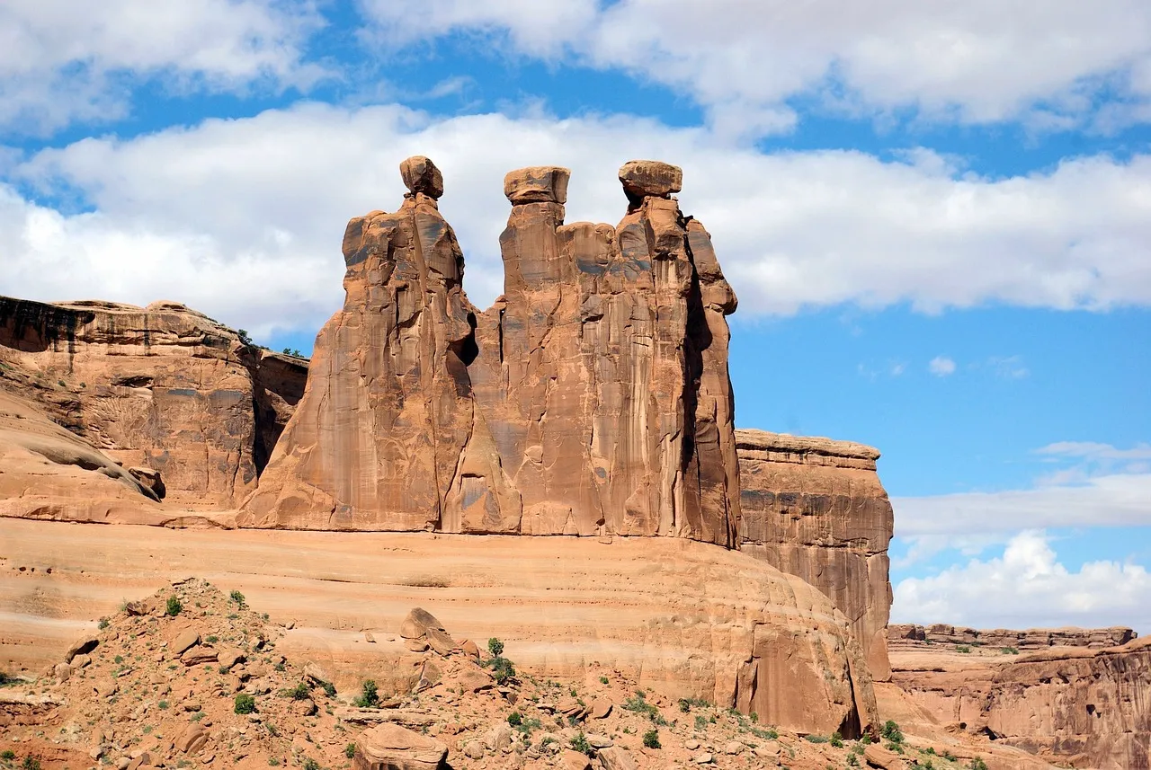
Three Arch Rocks and six smaller rocks are situated a half mile offshore at Oceanside, Oregon, nine miles west of Tillamook. President Theodore Roosevelt signed an Executive Order on October 14, 1907, declaring the three monoliths the first wildlife refuge west of the Mississippi. In 1970, Congress designated Three Arch Rocks as wilderness. That’s a remarkable civic legacy for a place this quiet.
Three Arch Rocks National Wildlife Refuge protects the largest seabird nesting colony on the Oregon coast and includes roughly 30 percent of Oregon’s common murres and 60 percent of the tufted puffins. It is also the only pupping site for the Steller sea lion in northern Oregon. The entire protected area consists of just 15 acres spread across three large and six small rocky islands. Size is clearly not the point here.
Thor’s Well: The Drainpipe of the Pacific
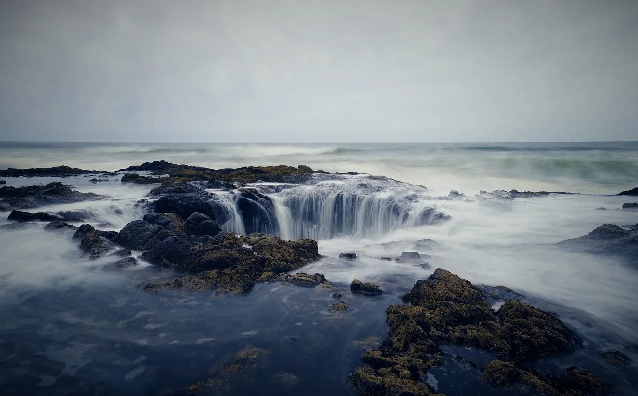
Sitting on the edge of the Oregon coast near Cape Perpetua, a gaping, seemingly bottomless sinkhole swallows the unbroken stream of seawater around it. Thor’s Well, as the natural wonder is known, is not actually bottomless. It is, however, very dangerous. Also known as the drainpipe of the Pacific, the well is actually a hole in the rock that only appears to drain water from the ocean.
According to some researchers, the well probably started out as a sea cave dug out by the waves, before the roof eventually collapsed and created openings at the bottom and top through which the ocean sprays. The huge hole is likely only around 20 feet deep, but it still manages to produce amazing sights. Both Thor’s Well and Spouting Horn are best seen approximately an hour before high tide to an hour after high tide, and how spectacular the sights are depends on the height of the tide and the direction and size of the swells.
Cape Perpetua: 800 Feet Above a Forgotten Shore
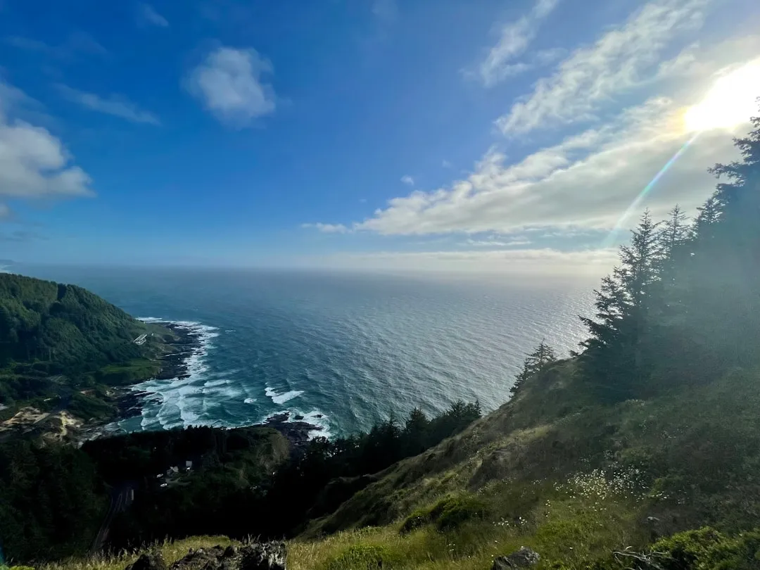
At its highest point, Cape Perpetua rises to over 800 feet above sea level. From its crest, an observer can see 70 miles of Oregon coastline and as far as 37 miles out to sea on a clear day. That view hasn’t changed in any meaningful way for centuries. The U.S. Forest Service designated a 2,700-acre Cape Perpetua Scenic Area in the 1960s and built the Cape Perpetua Visitor Center to highlight the beauty and ecological uniqueness of the area.
The Scenic Area has twenty-six miles of hiking trails through old-growth temperate rainforests, including a trail leading to the Silent Sentinel of the Siuslaw, a 600-year-old Sitka spruce. This tree was designated an Oregon Heritage Tree by the State of Oregon in 2007 to protect it and to recognize its exceptional age and size. Standing next to a tree that was already ancient when the first Europeans mapped this coastline has a certain grounding effect. The Civilian Conservation Corps established a camp in 1933 at the foot of Cape Perpetua and completed several projects, including the campground, a network of trails, and the West Shelter observation point near the top of the cape, as well as stretches of rockwork walls.
Wheeler and the Art of Staying Small
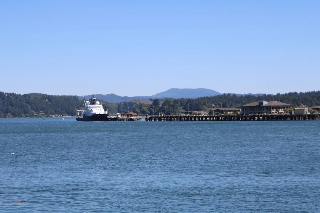
Red-brick buildings from the early 1900s line Wheeler’s waterfront, housing treasure-filled antique shops where time seems suspended. This former lumber boom town now moves at the pace of the tides washing into Nehalem Bay. Wheeler sits further north on the coast and is quieter still, closer in spirit to a working-class coastal town than a destination.
Kayak rentals operate from the old marina, offering peaceful paddles through protected waters where herons stalk the shallows. The town’s population barely tops 400, creating an intimate atmosphere where everyone waves hello. That number, 400 residents, makes the village one of the smallest populated communities on Oregon’s entire coastline. Beachcombers here sometimes discover Japanese glass floats washed ashore after storms, a tradition that connects the beach to the far side of the Pacific.
What the Oregon Coast’s 363 Miles Keep Hidden
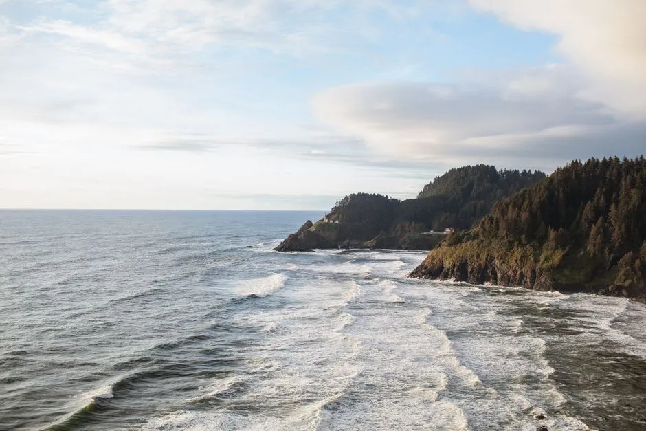
Oregon has 363 miles of public coastline, with sea stacks, tide pools, lighthouses, and coastal towns with legitimately great food. Every inch of that coastline is publicly accessible by law. That legal protection is a detail many visitors don’t know, and it’s worth naming. The south coast is wilder and emptier, and better if you want to feel like you’ve escaped somewhere.
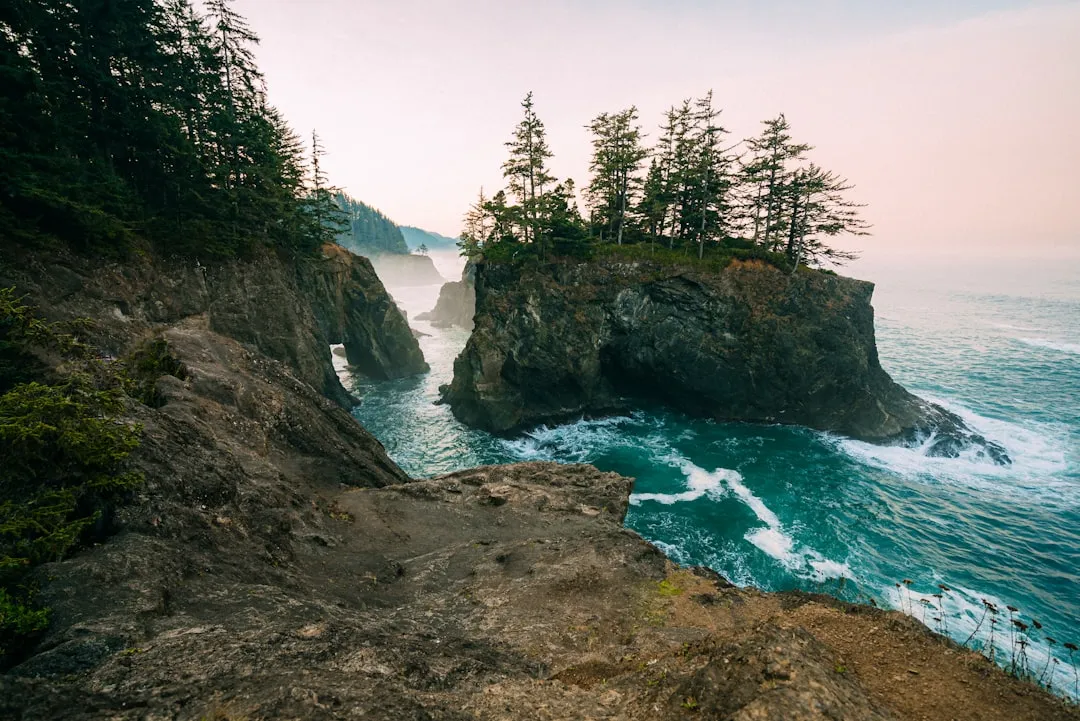
The Samuel H. Boardman State Scenic Corridor begins south of Gold Beach: the most dramatic 12-mile stretch of coastline in Oregon, with sea stacks, natural bridges, and coastal trails. Few people make it this far south. That’s the point. The villages that cluster along the coast’s less-trafficked stretches share something intangible, a willingness to be overlooked that most travelers, eventually, find irresistible.
How to Visit Without Disrupting What Makes These Places Remarkable
Oceanside offers front-row seats to Three Arch Rocks without the crush of tourists found at more famous spots. It’s small, scenic, and blissfully low-key, exactly the kind of place locals whisper about rather than post. That whisper-rather-than-post quality is worth honoring. When you visit places this small, the choice of where to eat, where to park, and how much noise you make in the morning has a measurable impact on the people who live there year-round.
Three Arch Rocks National Wildlife Refuge is off-limits to the general public to prevent disturbing nesting birds, and boats cannot approach closer than 500 yards between May 1 and September 15. These are not suggestions. They exist because the wildlife here is genuinely vulnerable. Roseanna’s Café in Oceanside serves legendary seafood in an unpretentious setting with panoramic ocean views, and supporting restaurants like that, locally owned places that have lasted for decades, is one of the most direct ways to keep these villages alive.
The Quiet Case for Going Slowly
There’s something specific about what it means for a place to feel frozen in time. It doesn’t mean nothing has changed. Some of these coastal towns are so quaint that they feel like a step back in time, while others have managed to preserve their historic charm while still providing the conveniences of today. The distinction matters.
Yachats still hosts a Celtic music festival every November. Oceanside’s tunnel still fills with seawater during winter king tides. Three Arch Rocks still shelters puffins that most visitors never get close enough to see clearly. The stretch from Yachats to Florence is the most scenic 30 miles of driving on the entire coast. Don’t rush through it.
The villages along Oregon’s coast that feel frozen in time aren’t actually frozen at all. They’re simply moving at the speed the ocean sets, patient, indifferent to trends, and quietly extraordinary for exactly that reason.
AI Disclaimer: This article was created with the assistance of AI tools and reviewed by a human editor.