
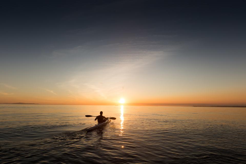
There’s a particular kind of quiet that only paddlers know. It happens after you’ve pushed away from a shoreline most people drive straight past, when the noise of the parking lot fades and the water opens up ahead of you. Most tourists never reach that moment because they’re lined up at the same overcrowded launch ramp everyone else already knows about.
The people who do know tend to have had a conversation with a local outfitter first. Those conversations are where the real geography of a paddling destination lives – not on the tourist board map, not in the resort brochure. What follows draws on what outfitters and experienced paddlers consistently share about how to find the launch spots most visitors never discover.
The Gap Between the Map and the Water
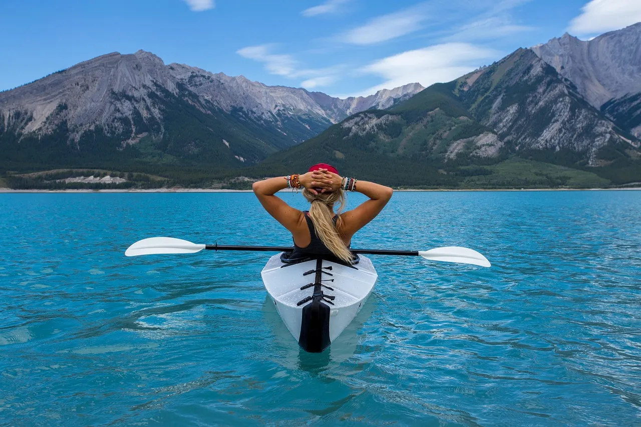
Most travelers plan a kayaking trip using the same tools: a quick search, a travel app, a tourism website. Those resources are genuinely useful, but they tend to surface the same handful of well-publicized put-ins that already see heavy foot traffic. County parks departments often maintain detailed guides to water access points not listed on major platforms. These lesser-known listings are rarely promoted and don’t appear in a standard search result.
These guides include information about seasonal closures, special events, and permit requirements specific to that jurisdiction. That level of detail takes time to find, which is exactly why most tourists skip it. The reward for doing the extra research is often a launch point with a fraction of the crowd.
Why Outfitters Hold the Best Intelligence
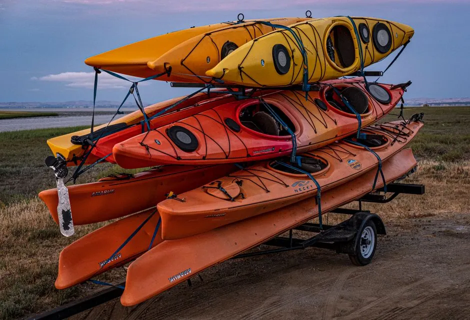
Local kayak shops provide insider knowledge about hidden gems, seasonal conditions, and water levels that no database can match. Their knowledge isn’t theoretical. It’s built from daily use, from shuttling clients to and from access points across multiple seasons, and from watching conditions change year by year.
Local kayak rental shops know every launch within 50 miles and current water conditions – their livelihood depends on accurate local knowledge. That’s a meaningful distinction. An outfitter recommending a put-in is staking their reputation and their repeat business on that recommendation being sound. Paddling clubs and community groups also maintain private lists of member-recommended spots with detailed information on conditions and hazards.
The Scale of the Paddling Boom
Part of why certain launch spots have become so crowded is simply the scale of growth in the sport. Kayaking specifically experienced 8.1% year-over-year growth in participant numbers throughout 2024 and 2025, outpacing traditional leisure activities such as golf and tennis. More paddlers on the water means more pressure on visible, easy-to-find launch sites.
The market for kayaking tourism was estimated at 1.3 billion dollars in 2024 and is anticipated to increase to 2.1 billion dollars by 2030. That trajectory isn’t slowing down. The Adventure Travel World Summit 2025 reported that more than half of international travelers now prioritize adventure components in vacation planning, up from roughly a third in 2015. The appeal of paddling is broad, which makes it all the more important to know where the quieter water is.
What Outfitters Look for in a Good Hidden Put-In
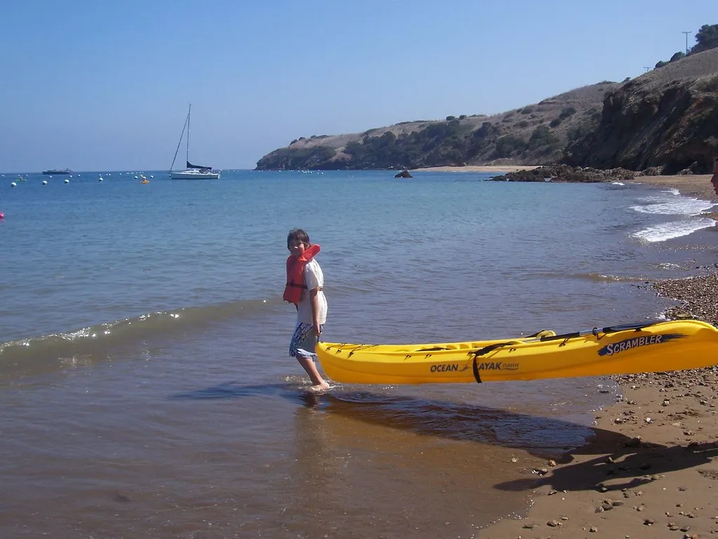
The criteria experienced outfitters use to evaluate a launch spot go well beyond “can you slide a kayak in here.” They evaluate locations based on factors including parking proximity, launch surface quality, water conditions, and available facilities – protected coves and sheltered bays offer calmer waters than exposed shorelines or fast-moving rivers. A concrete ramp or firm gravel put-in makes a significant practical difference, especially on a loaded touring boat.
Timing matters just as much as geography. Popular launch sites can get busy on weekends, so arriving before 9 AM makes a real difference. The hidden spots outfitters tend to recommend often have lighter infrastructure but much lower use. That tradeoff is usually worth it for paddlers who prioritize solitude and wildlife over convenience.
The Role of Tributaries and Blueways
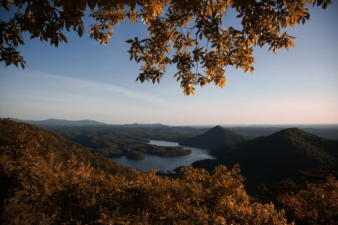
Seasoned paddlers consistently steer toward designated water trails and blueway systems that receive far less attention than main-stem rivers. The Hiwassee River Blueway threads through Cherokee National Forest and quiet towns, mixing glassy sections with friendly riffles – launching near Delano, paddlers drift past hardwood stands, gravel bars, and surprisingly clear water. Routes like this exist across the country, often just a county or two away from the most visited destinations.
Pennsylvania alone is home to more than 2,000 miles of water trails in 28 designated waterways. The depth of available paddling geography across North America is genuinely staggering, and much of it sees very few visitors. While many paddlers check off the larger, well-known rivers, smaller scenic waterways are known for their high-quality fishing and non-motorized water recreation.
What a Great Hidden Launch Actually Looks Like

It won’t always look impressive from the road. Some of the best put-ins are gravel pull-offs beside a bridge, a narrow path through tall grass that opens onto still water, or a quiet corner of a reservoir far from the main marina. Perry Lake in Kansas, for example, offers 160 miles of forested shoreline, clear water, and spectacular spring wildflower displays visible from water level. Most visitors to the region don’t know it exists as a paddling destination at all.
Kaw Point Park in Kansas City, where two rivers converge, is considered sacred ground by local paddlers. The convergence creates interesting currents perfect for practicing river navigation skills. Places like this are often hiding in plain sight, underused because they’re not packaged as tourist experiences. That’s precisely their value.
How Ecosystems Reward Those Who Go Quietly
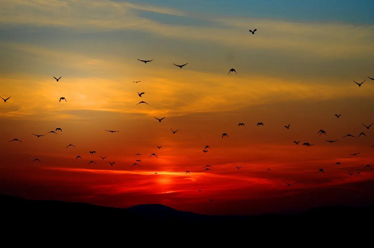
One of the most consistent things outfitters mention about their preferred hidden launch spots is the wildlife. When fewer boats are on the water and the human presence is quieter, the natural behavior of the ecosystem becomes visible. Along the Buffalo River in Tennessee, paddlers may see wildlife including deer, turtles, bald eagles, fish, and reptiles, alongside caves, springs, and waterfalls.
Coves on the wind-shadow side of a lake tend to attract remarkable wildlife – outfitters report encounters with white pelicans, river otters, and even bobcats coming down to drink at dawn. Those moments don’t happen at the main boat ramp with twenty cars in the parking lot. They happen at the spots most tourists never find.
Sustainability and the Ethics of Discovery
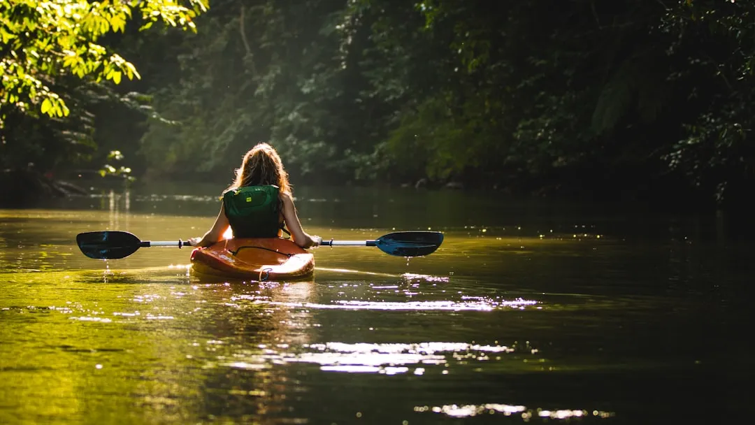
The rise of eco-tourism consciousness has propelled demand for kayak tours, as paddling aligns well with sustainable travel values and low-impact exploration. That alignment comes with responsibility. When a hidden launch spot becomes widely shared on social media, it tends to follow a predictable trajectory toward overuse, eroded banks, and disturbed wildlife.
Outfitters who protect their best spots aren’t being secretive for its own sake. They’re managing the long-term health of the resource. Unlike many adventure sports requiring months of training, kayak tours can accommodate participants with zero prior experience – which is wonderful for accessibility, but it also means that without thoughtful guidance, some paddlers arrive at sensitive spots unprepared for the care those places require. Respecting the outfitter’s judgment about where and when to paddle is part of ethical engagement with the sport.
Using Technology Wisely Without Giving Everything Away
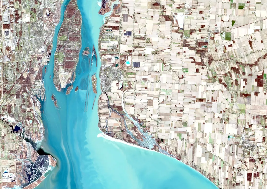
Digital tools have genuinely improved the ability to find good water access, as long as you use them thoughtfully. Satellite imagery lets paddlers verify whether a road actually reaches a river bank, check parking areas before driving two hours, and scout for potential obstacles. State DNR websites provide official, detailed information about water trails, regulations, and access points that mainstream apps often miss.
The most effective approach combines digital research with a direct conversation. County parks departments often maintain detailed guides to water access points not listed on major platforms, including information about seasonal closures, special events, and permit requirements. Cross-referencing those official sources with what a local outfitter tells you in person tends to produce the most accurate picture of where to actually launch and when.
The One Step Most Tourists Skip

Everything in this article converges on a single point that most visitors overlook: picking up the phone and calling the local outfitter before you arrive. Not to book a tour necessarily, though that’s a fine option. Just to ask. Calling local kayak rental shops is one of the most efficient ways to gather information, because they know every launch within 50 miles and current water conditions – their livelihood depends on that knowledge being accurate.
That conversation, brief as it might be, almost always surfaces something useful. A mention of a gravel put-in down County Road something-or-other that hardly anyone uses. A note about water levels making one spot better than another this week specifically. Even outfitters themselves recommend starting early on weekdays near popular ramps to avoid the light traffic that does accumulate. The best launch spot in any region isn’t hidden in a guidebook. It’s known by the person who paddles that water every week, and they’re usually happy to share it with someone who asks respectfully.
The Takeaway
The gap between the launch spot most tourists use and the one locals actually prefer is rarely about distance. It’s almost always about the willingness to ask, to dig one layer deeper than a search result, and to trust the knowledge of people who spend their working lives on that water. The global kayak market continues to grow, driven by a worldwide interest in outdoor recreation and adventure tourism underpinned by increasing consumer focus on health, wellness, and experiential travel.
That growth makes the hidden spots even more worth protecting and seeking out. The water is out there, quieter and more beautiful than the crowded ramp suggests. You just need to know who to ask.
AI Disclaimer: This article was created with the assistance of AI tools and reviewed by a human editor.