
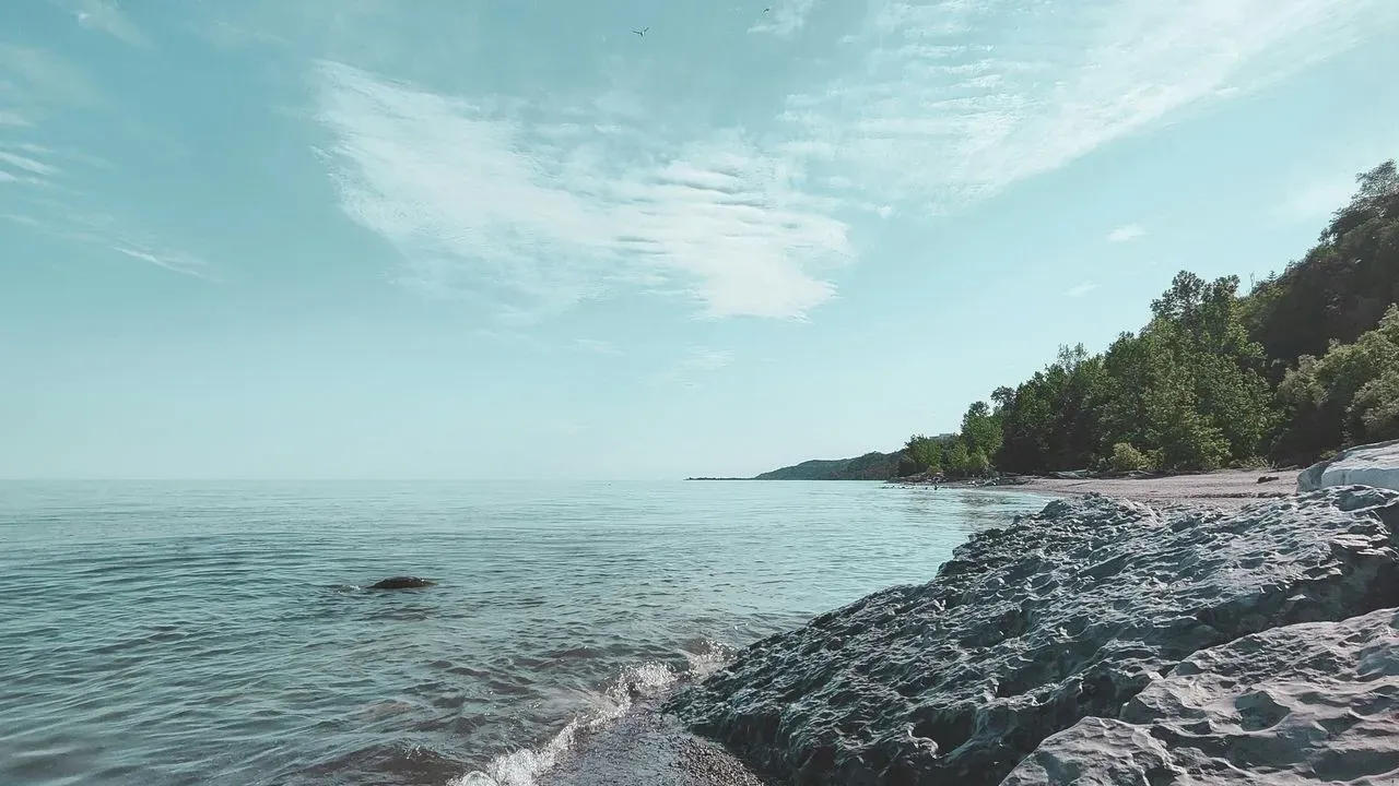

Travelers planning journeys along North America’s Great Lakes may encounter a notable update when consulting Google Maps from within the United States. The waterway traditionally identified as Lake Ontario now appears under the label Lake America for those users. The change stems from a presidential order and follows Google’s established practice of aligning with names in the U.S. Geographic Names Information System.
How the Name Appears Across Borders
Google has clarified the display rules for this shared body of water. Users inside the United States see the new designation, while those in Canada continue to view the longstanding name. Viewers located outside both countries encounter both labels side by side. This approach mirrors the company’s handling of other international waterways where official names differ by nation.
The update began rolling out in recent days and reflects a consistent policy rather than a one-off adjustment. Travelers crossing the border or using devices set to different regions can therefore expect varying labels depending on their location.
Practical Effects for Great Lakes Travelers
For visitors relying on digital navigation while driving scenic routes or boating along the shoreline, the label shift represents a minor but noticeable detail. Route planning apps and search functions within the United States will reference the updated name, yet the underlying geography and access points remain unchanged. Those coordinating cross-border itineraries may find it helpful to note both designations when communicating with local operators or checking regional resources. The lake itself continues to serve as a vital waterway connecting communities on either side of the international boundary, offering consistent opportunities for exploration regardless of the digital label.
| Region | Name Displayed on Google Maps |
|---|---|
| United States | Lake America |
| Canada | Lake Ontario |
| Outside U.S. and Canada | Both names |
The Enduring Character of the Region
Lake Ontario forms one of the five Great Lakes and stretches along a border that has long supported trade, recreation, and cultural exchange. Its waters remain central to the identity of nearby cities and rural shorelines alike, providing habitats for diverse wildlife and scenic vistas that draw visitors year after year. Travelers drawn to the area often seek out its lighthouses, waterfront trails, and opportunities for quiet reflection by the water’s edge. The map adjustment does not alter these physical attributes or the lake’s role as a shared natural resource between two nations.
Preparing for Your Next Visit
Before heading out, it can be useful to cross-reference mapping tools with local tourism sites or printed charts to maintain full situational awareness. Many travelers also appreciate learning the historical and Indigenous names associated with the lake, which add depth to any itinerary. Whether paddling near the Thousand Islands, visiting preserved wetlands, or simply enjoying a lakeside meal, the region’s appeal lies in its natural beauty and welcoming communities. Digital navigation updates serve as reminders that maps evolve, yet the experience of being present on these waters stays rooted in the landscape itself.
AI Disclaimer: This article was created with the assistance of AI tools and reviewed by a human editor.