
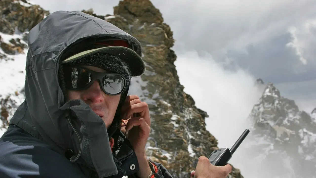

Mount Shasta, California – Three novice hikers from Roseville set out with an AI-generated itinerary for a summit attempt on Mount Shasta. They established camp near 8,400 feet on a Saturday and left with daypacks the next morning. By Monday the Siskiyou County Sheriff’s Office had located and assisted the group after they became stranded on the mountain. The incident offers a clear window into how digital tools are shaping wilderness travel decisions today.
Planning the Route with Gemini
The three young men turned to Google’s Gemini AI for guidance on their Mount Shasta outing. They sought route suggestions, timing, and basic logistics for the climb. The tool supplied an outline that the hikers followed when they chose their campsite and departure time for the summit push. Novice travelers often appreciate the speed and accessibility of such platforms. In this case the AI output helped frame an initial plan for a mountain that draws thousands of visitors each season. The group’s decision reflects a broader pattern of outdoor enthusiasts blending technology with real-world experience.
Stranded at Elevation
After breaking camp the hikers encountered conditions that left them unable to continue or return safely on their own. They had carried only daypacks, limiting their supplies once the situation changed. Rescue teams from the Siskiyou County Sheriff’s Office reached the party and brought them to safety. Mount Shasta’s high-elevation terrain can shift quickly with weather, snow, and route-finding demands. The elevation of roughly 8,400 feet sits well above treeline in many areas, where preparation for variable conditions becomes essential. The swift response by local authorities prevented a more serious outcome.
Practical Takeaways for Wilderness Travel
This episode underscores the value of layering multiple planning resources when heading into remote terrain. AI platforms can spark ideas and organize basic information, yet they work best alongside maps, current weather reports, and advice from experienced local guides or ranger stations. Travelers benefit from verifying digital suggestions against official sources before departure. Carrying appropriate gear for the full duration of a trip, including extra layers and navigation tools, adds a critical margin of safety. Checking in with regional authorities about trail conditions remains a reliable step for any mountain journey. Responsible preparation also includes sharing detailed itineraries with someone outside the group and knowing when to adjust or turn back. These habits support both personal well-being and the work of search-and-rescue teams who serve mountain communities year-round. Mount Shasta continues to reward careful visitors with its striking volcanic landscapes and expansive views. When technology and traditional outdoor judgment work together, the experience stays rewarding and grounded in respect for the place itself.
AI Disclaimer: This article was created with the assistance of AI tools and reviewed by a human editor.