
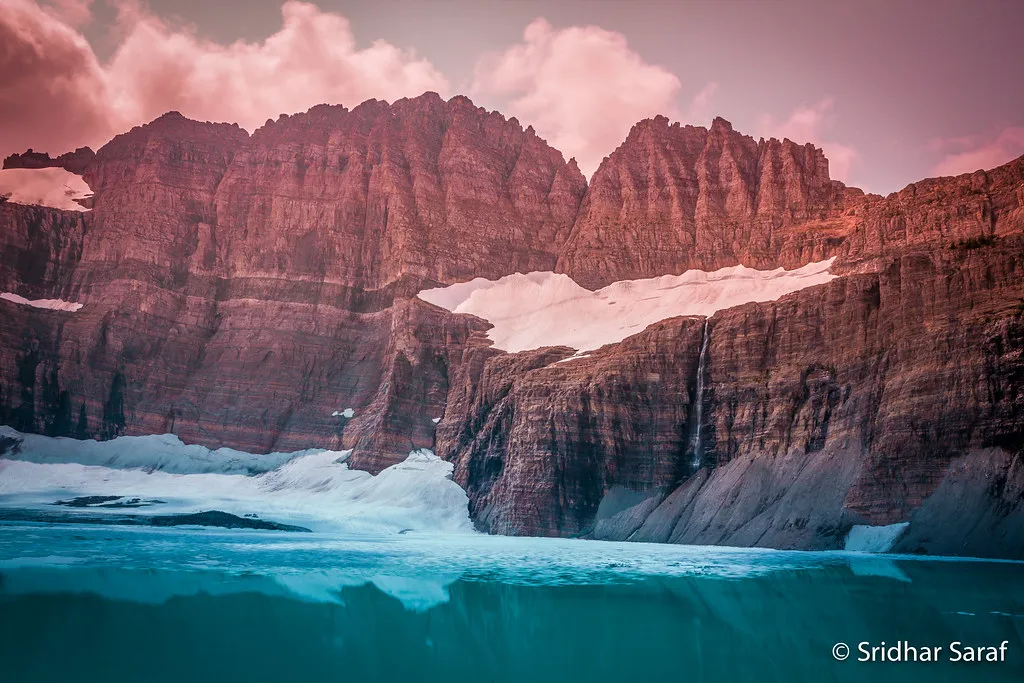

There’s a certain kind of quiet that only exists above 8,000 feet, when the last trail sign is miles behind you and the only sound is meltwater threading through granite. Montana’s most celebrated glaciers are well documented, endlessly photographed, and increasingly crowded on summer mornings. The ones that don’t appear in travel magazines are a different story entirely.
Glaciers are found in the Lewis and Livingston ranges of Glacier National Park, the Flathead, Madison, Mission, and Swan ranges, and the Cabinet, Crazy, and Beartooth-Absaroka mountains. That’s a remarkable spread of ice across a single state, and much of it receives almost no visitor attention. For anyone genuinely seeking mountain solitude, knowing where to look makes all the difference.
A State Defined by Ice – and Its Loss
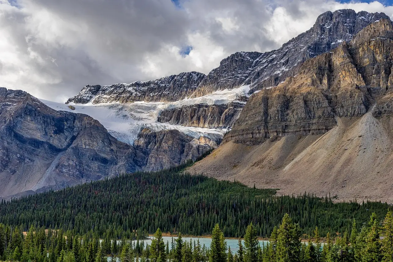
Before heading into the backcountry, it helps to understand what you’re looking at and why it matters right now. In 1850, there were about 150 documented glaciers in this area of the Rocky Mountains, and most were still there when the national park was established in 1910. The numbers since then tell a sobering story.
Maps of the glaciers in 1968, surveyed by airplane by the USGS, counted 83 ice-and-snow bodies with areas greater than 0.1 square kilometers. Today the number of ice bodies is 25. That’s a staggering reduction across just a few decades. The warming climate has dramatically reduced the size of 39 glaciers in Montana since 1966, some by as much as 85 percent, according to data released by the USGS.
A global analysis published in 2025, combining satellite and ground-based measurements, highlighted a recent acceleration, finding that about 41 percent of the total glacier loss since 1976 occurred during the last decade from 2015 to 2024. Visiting these ice fields this summer isn’t just a travel experience. It’s a form of witnessing something genuinely irreplaceable.
Sperry Glacier: Accessible, Stunning, and Still Undervisited
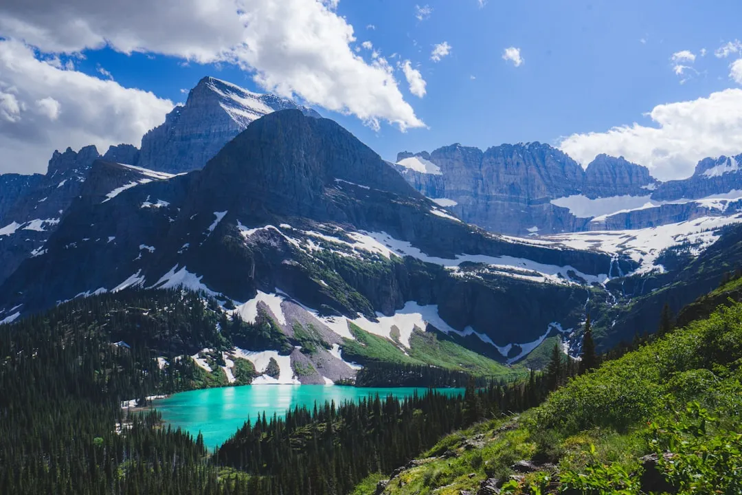
Sperry Glacier is a small alpine glacier located in Glacier National Park in the U.S. Rocky Mountains of Montana, occupying a broad, shallow cirque along the Continental Divide, which results in climatic influences from both maritime and continental air masses. Despite being one of the park’s more reachable glaciers, the approach demands real commitment.
The hike to Sperry Glacier is an extremely long day hike, covering 18.4 miles and climbing over 4,800 feet, and only extremely fit, well-acclimated hikers should attempt the trail as a day hike. Most thoughtful visitors instead break the journey over two days using the backcountry campground. From Comeau Pass, the Flathead Valley is visible below, but turn toward the glacier and you find snow, ice, rocks, and small tarns in colors of emerald and turquoise; mountain goats frequent this area and can be somewhat bold around people.
Once one of the largest glaciers in the park, the surface area of Sperry Glacier has retreated 75 percent since the mid-19th century, from an estimated 930 acres at the end of the Little Ice Age to just 216 acres as measured in 2005. The glacier you see today is a fragment of its former self, which somehow makes the visit feel more meaningful, not less.
Vulture and Carter Glaciers: Where the Trails End
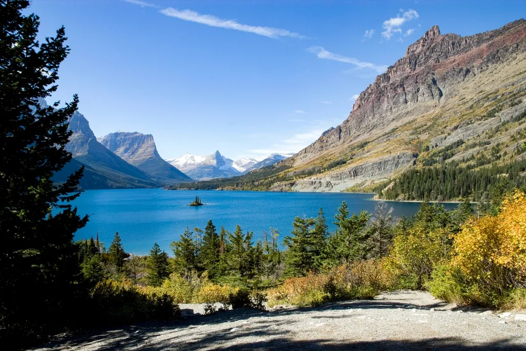
Vulture and Carter are some of the most remote glaciers in the park and are far from any trails. That’s not a deterrent for the right kind of visitor. It’s an invitation. These two glaciers sit in the kind of terrain that requires route-finding skills, solid wilderness experience, and a willingness to earn every step.
Artist and professor Jonathan Marquis is currently working on his Glacier Drawing Project, visiting and drawing all the glaciers of Montana, alongside mountaineers with extensive experience in the park. Their accounts of reaching Vulture and Carter describe hours of scrambling over loose rock far beyond the park’s maintained trail network. The physical challenge is real.
The payoff, by all accounts, is proportionate. Visiting these glaciers places you inside a cirque that sees only a handful of human visitors each season, surrounded by silence and raw geological history. That kind of solitude is increasingly rare, and Glacier National Park’s remotest ice fields still offer it freely to those willing to work for it.
The Absaroka-Beartooth Wilderness: Glaciers Beyond the Park Boundary
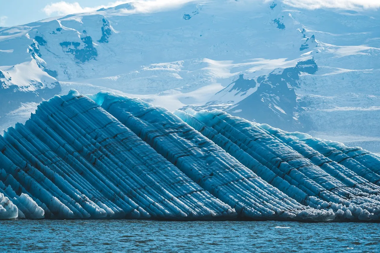
The Absaroka-Beartooth Wilderness is a 943,377-acre tract of land covering portions of three states, boasting over 20 peaks greater than 12,000 feet in elevation and dotted with more than 950 alpine lakes, located in south-central Montana with a small portion in northern Wyoming, just north of Yellowstone National Park. It’s one of the most dramatic alpine landscapes in the American West, and most people have never heard of it.
Despite its proximity to Yellowstone and covering an area nearly as large as Glacier National Park and having about as many miles of trails as Glacier, roughly 700, the Absaroka-Beartooth exists in relative anonymity compared to its much more famous neighbors. That anonymity is its greatest gift. Approximately 25 small glaciers exist in the Beartooths, with Grasshopper Glacier being one of the more unique.
Between 50 and 60 million years ago, a massive uplift created the Beartooth Plateau, and at roughly 3,000 square miles, it is one of North America’s largest land masses rising above 10,000 feet. The scale of the place is hard to grasp until you’re standing in the middle of it, looking out over tundra that feels closer to Alaska than to the lower 48.
The Mission Mountains: Glaciers Above Tribal Lands
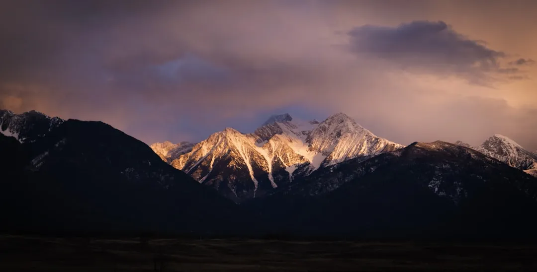
The Mission Mountains are among Montana’s most scenic, characterized by their many glaciers, meadows, jagged peaks, and slopes formed by rock debris, and the range connects travelers to the Mission Mountain Wilderness Area, covering almost 74,000 acres of northwestern Montana. Access requires thoughtful planning, as part of the range borders the Flathead Indian Reservation.
Known for snowy and jagged peaks, alpine lakes, meadows, active glaciers, and talus slopes, the Mission Mountains’ highest peak is McDonald Peak, which towers up to 9,820 feet, and the range is composed chiefly of Belt Rock, also known as the American Alps. The nickname feels earned when you see those spire-like ridgelines catching morning light.
Visitors accessing any portion of the range bordering the Flathead Reservation must obtain the proper tribal recreation permit from the Confederated Salish and Kootenai Tribes, whose traditional relationship to this landscape extends far deeper than any trail register. Approaching this area with respect for that heritage is not just courtesy; it’s the foundation of responsible travel here.
The Crazy Mountains’ Grasshopper Glacier: A Truly Singular Ice Field
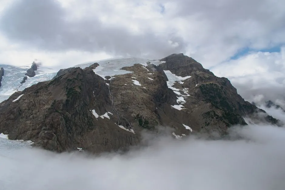
The Crazy Mountains stretch for 40 miles from the Yellowstone River in the south to the Musselshell River in the north, and this Rocky Mountains sub-range features 40-plus beautiful lakes and a single named glacier called the Grasshopper Glacier. That name is not metaphorical. The glacier is genuinely embedded with preserved grasshoppers, an unusual glaciological curiosity that has fascinated scientists for generations.
The Crazy Mountains feature steep slopes and jagged peaks, with more than 30 peaks having elevations in excess of 10,000 feet, the tallest being the 11,214-foot Crazy Peak, and visitors may want to spend time camping at the Halfmoon Campground located just north of Big Timber Creek. The Crazies are isolated, stark, and deeply quiet in summer.
Characterized by jagged peaks formed from water erosion, ice, and wind, the Crazies contain more than 40 glimmering lakes, and presently a sole glacier, the Grasshopper Glacier, remains as the range’s remnant from the ice age. The fact that only one glacier holds on here tells its own climate story.
What Glacier Melt Means for the Streams You’ll Cross
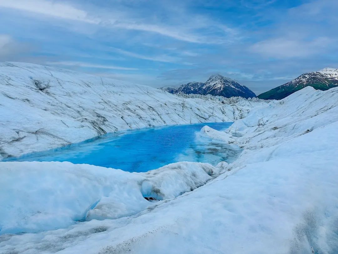
Meltwater from these glaciers helps to regulate stream temperatures and maintains streamflow during late summer and drought periods when other sources are depleted, and as glaciers disappear, summer stream temperatures will increase and may cause the local extinction of temperature-sensitive aquatic insects, disrupting the basis of the aquatic food chain. The ecological stakes are high.
Such changes in stream habitat may also have adverse effects for the threatened native bull trout and increase hybridization of native cutthroat trout, leaving the native population at risk. The cold, clear streams lacing Montana’s glacier basins support ecosystems that have evolved around the reliable release of summer meltwater for thousands of years. Hiking through these drainages, you’re walking above that entire web of life.
Mountain ecosystems are particularly sensitive to temperature changes because they are generally cooler to begin with, and less year-round snow increases heat absorption. This is why even the smallest glaciers carry significance well beyond their modest dimensions on a map.
Reading the Ice: What Scientists Are Still Monitoring
The U.S. Geological Survey Benchmark Glacier Project conducts glaciological research and collects field measurements across select North American glaciers, including Sperry Glacier located in Glacier National Park, and these records provide direct evidence of glacier change. The monitoring program has produced decades of carefully documented data.
While some early climate change models predicted that all of the park’s glaciers would disappear by 2030, USGS research ecologist Dan Fagre noted that those models did not account for things learned since then, and the glaciers may have a little more time. More recent projections, according to Fagre, push the timeline to 2050 or later for some individual glaciers. The science is genuinely uncertain in its precise timing.
Ongoing glaciological research will enhance physical understanding and forecasting capabilities; however, the continued retreat and ice mass loss of small glaciers in Glacier National Park is certain. That certainty is worth sitting with on a summer morning when the ice is right in front of you, blue-white and still.
Practical Reality: Getting to Remote Glaciers Requires Honest Preparation
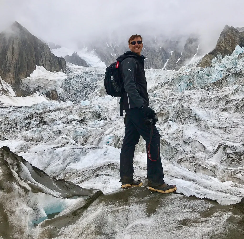
Montana’s remote glaciers are generally tucked away in the Rockies, often requiring bushwhacking and scrambling to reach. This isn’t country for casual wandering. Anyone visiting the more remote glaciers beyond established trails should be proficient with navigation, carry appropriate gear for rapid weather changes, and ideally have experience in off-trail mountain terrain.
Sunny mornings with clear chilly nights are typical in the Beartooths, but afternoon thunderstorms can build up quickly, and at these altitudes it’s necessary to be prepared for anything from cold rain and snow to high heat. That variability applies broadly across Montana’s high mountain ranges. An early start is rarely optional; it’s structural.
Wilderness permits are required for overnight backcountry stays in Glacier National Park, and reservation windows fill early. Planning for a summer 2026 trip means acting now. The logistics are part of the commitment, and they’re genuinely worth working through.
Traveling Responsibly Around Fragile Ice Environments
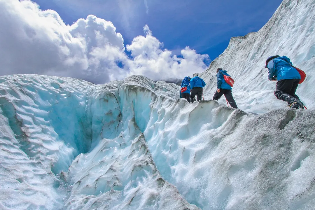
The total area of all the mapped snow and ice in Montana is about 68.6 square kilometers. That’s not a large number. Spread across a state the size of Montana, these ice fields are relatively small and sensitive. Human footfall on and around glaciers leaves a trace, and the tradition of minimum-impact travel matters more than usual in these environments.
Stay on established routes where they exist. Avoid walking on glacial ice without proper equipment and experience. Leave no trace protocols aren’t bureaucratic box-checking here; they directly protect soil crusts, fragile periglacial plant communities, and the stream ecosystems downstream that depend on undisturbed meltwater patterns.
Montana’s Glacier National Park is a mosaic of rock, ice, forest, and water, and one of the most intact ecosystems in the United States. Keeping it that way requires visitors who treat it with that awareness rather than as a backdrop for an experience. Ethical travel in a place like this means letting the landscape remain what it is.
The Deeper Invitation of Montana’s Ice
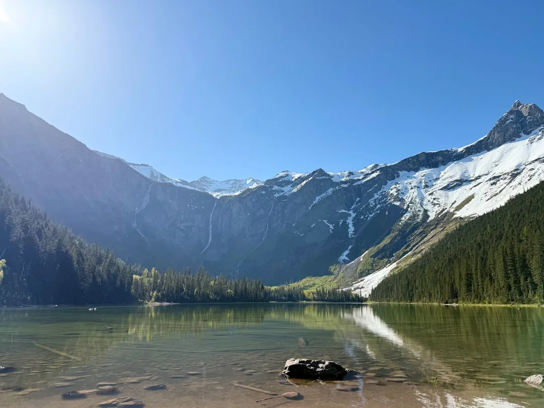
Summer 2026 offers something worth considering: the chance to visit glaciers that are genuinely hard to reach, rarely photographed, and increasingly finite. Based on preliminary data, 2023/24 was the 37th year in a row that reference glaciers tracked by the World Glacier Monitoring Service lost rather than gained ice. That streak makes every visit to a living glacier feel like a form of attention paid to something the world is slowly letting go of.
Glaciers interact with the landscapes and communities of Montana in ways that go beyond simple loss and change, and spending time exploring these landscapes offers something more complex than climate grief alone. That framing resonates. There’s real beauty still present in these ice fields, beauty that rewards the long walk and the willingness to go somewhere most people don’t.
Montana’s lesser-known glaciers aren’t a consolation prize for missing the famous ones. They’re often the more honest version of the same experience: ice in its natural context, without a crowd, under a sky that has no particular obligation to be anything other than itself. That might be the most accurate description of mountain solitude there is.
AI Disclaimer: This article was created with the assistance of AI tools and reviewed by a human editor.