

The Numbers Are Clear
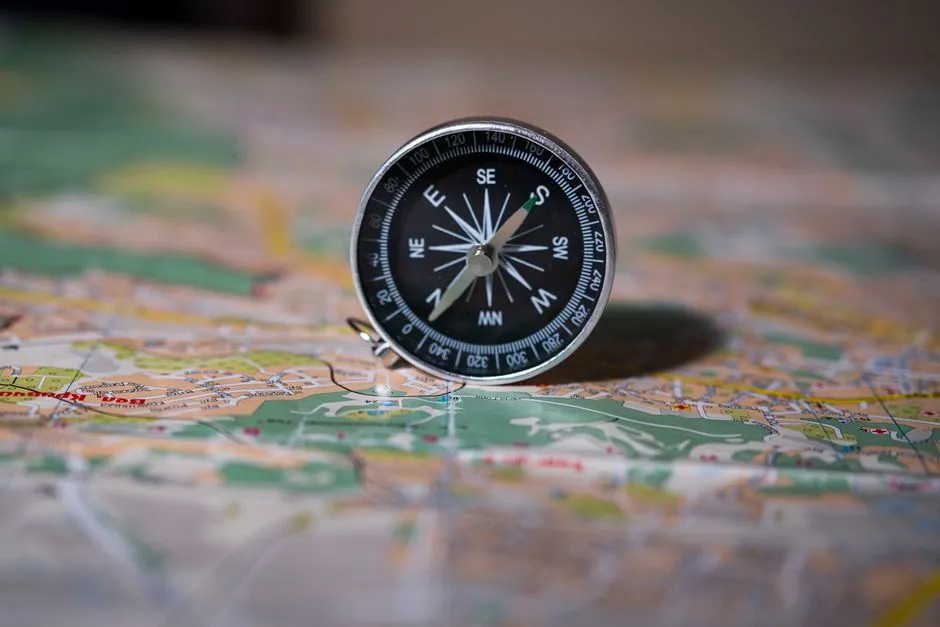
Reno runs along the longitude of 119 degrees and 49 minutes west, while Los Angeles sits along a longitude of 118 degrees and 15 minutes west. That gap of roughly one and a half degrees might sound small, but it places two entirely different landscapes on opposite sides of an invisible line most people never think about.
Reno’s longitude is around 119.8 degrees west, while Los Angeles’ longitude is approximately 118.2 degrees west, making Reno about 1.6 degrees farther west than its widely known counterpart. Longitude, not proximity to the ocean, is the true measure of east-west position on Earth.
How Longitude Actually Works

The critical piece of information here is the longitude. Both Reno and Los Angeles have west longitude coordinates, and to determine which is further west, we need to compare their numerical values. Since 119.8138 is a larger number than 118.2437, Reno’s longitude is further west of the Prime Meridian than Los Angeles’.
On a map, Reno’s line of longitude sits to the left of Los Angeles’ line of longitude, meaning Reno is west of Los Angeles. It’s a clean and simple rule once you know what to look for. More degrees west means more west – full stop.
California’s Coastline Bends Inward
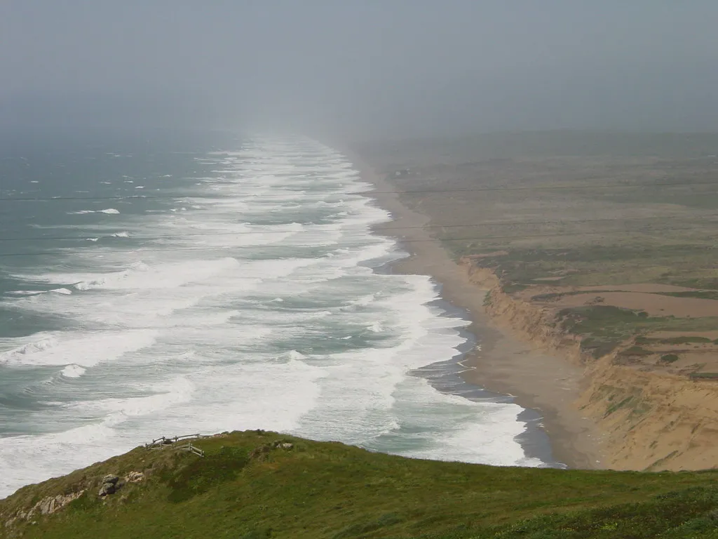
If you look at a map, California doesn’t run straight north-south. The coast angles significantly to the southeast as you go from Northern to Southern California. By the time you reach LA, you’ve traveled a lot of degrees east compared to where the coast was near San Francisco or the Oregon border.
Reno, which is located in the northwest corner of Nevada, is further west than Los Angeles because California arcs inward to the east as it moves south. That southeastward arc is the whole story, really. The state of California essentially pivots away from the Pacific as it moves toward its southern end.
Reno Sits Just Over the California Border

Reno is only 14 miles over the California border. That proximity is easy to forget. Northern Nevada hugs the California state line, and Reno in particular is pressed right up against the eastern edge of the Sierra Nevada. It just happens that this eastern edge of Northern California is already farther west than Los Angeles.
Reno sits just east of the Sierra Nevada, which runs along California’s eastern edge – but that eastern edge of Northern California is still farther west than the southern coast of the state. Geography doesn’t always behave the way our rough mental sketches suggest.
Other Cities West of Los Angeles May Surprise You Too
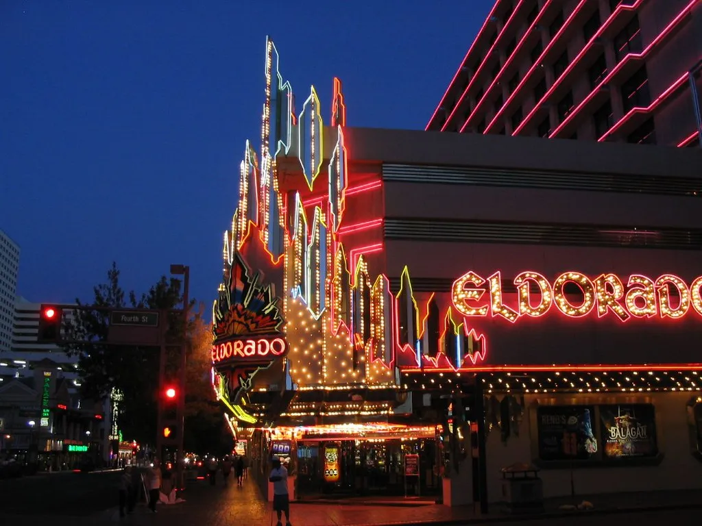
Carson City, the capital of Nevada, is likewise west of Los Angeles, as are five other state capitals. Reno is located at 119°49′ West and Los Angeles is 118°14′ West. Those other capitals are Juneau, Honolulu, Sacramento, Salem, and Olympia – representing Alaska, Hawaii, California, Oregon, and Washington respectively.
Reno is also further west than the coastal California cities of Santa Barbara and San Diego. That last one tends to surprise people even more. San Diego sits right on the Pacific Coast, yet Reno still edges it out in terms of westward longitude.
The Sierra Nevada as the Dividing Backbone
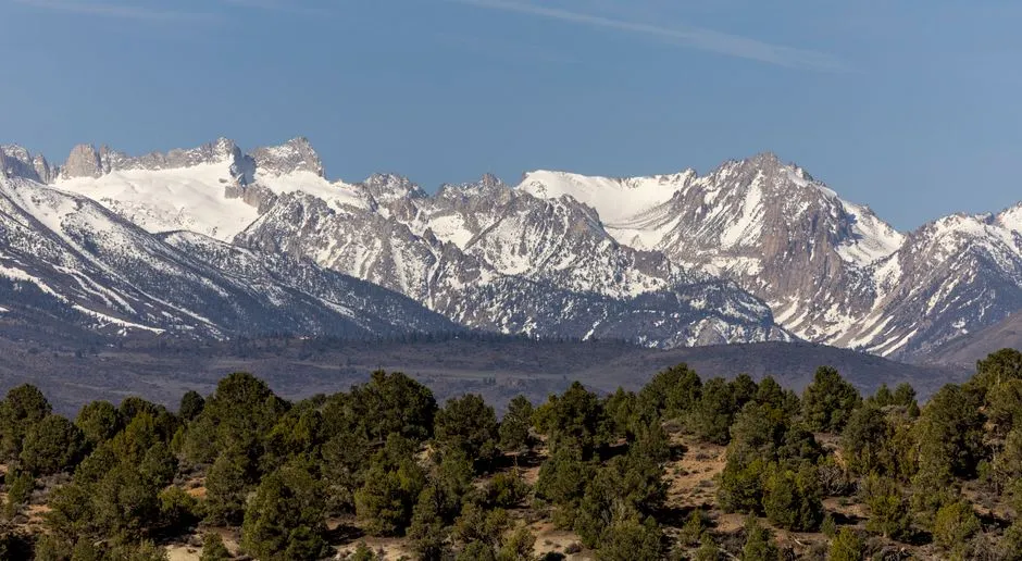
The Sierra Nevada stretches nearly 650 kilometers in length and approximately 110 kilometers in width, with its rugged ridges trending northwest-southeast, crowned by numerous peaks soaring above 14,000 feet. This massive north-south wall defines the geography of the region in a way few other mountain ranges do.
The block containing the Sierra Nevada is tilted westward, creating a striking contrast between its two sides. The western slopes descend gradually into the fertile San Joaquin Valley, while the eastern escarpment plunges steeply into the Owens Valley, creating one of the most dramatic vertical reliefs in North America. Reno lies on the Nevada side of that escarpment, perched just beyond the steep drop.
Why This Defies Our Mental Maps
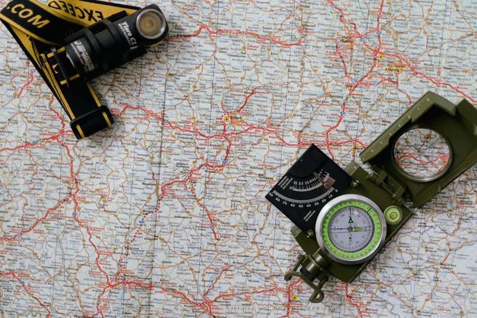
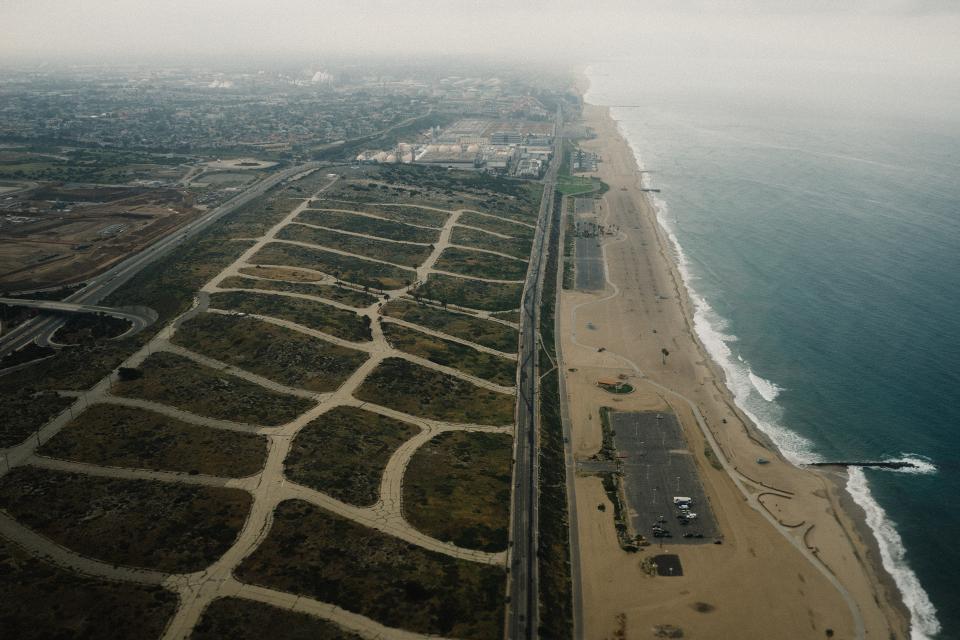
At first glance, this information may seem counterintuitive, as Los Angeles is often associated with being the westernmost major city in the United States due to its proximity to the Pacific Ocean. The ocean’s edge feels like the edge of the continent, and in a literal sense, it is. But the West Coast isn’t a straight line running due north to south.
This geographic truth showcases the nuances of longitude and reminds us that the concept of “west” is not solely determined by proximity to the Pacific Ocean. The curvature of the Earth’s surface and the arcing lines of longitude contribute to the variation in distance between locations. Our intuitions are shaped by simplified maps, not the full geometry of the land.
Both Cities Share the Same Time Zone

The differences in longitude between the two cities are slight enough that they are both located in the Pacific Standard Time Zone. So while Reno is technically farther west, neither city carries a time advantage over the other. They wake up, broadly speaking, at the same moment relative to the sun.
Los Angeles and Reno are about 389 miles apart. That distance underscores how a relatively short stretch across the American West can still hold genuinely surprising geographic truths.
What This Reveals About Geography and Perception
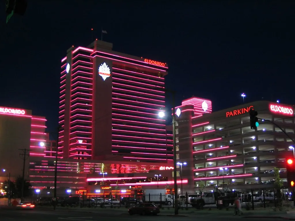
Though Nevada is California’s eastern neighbor and Los Angeles sits on the Pacific Coast, Reno is farther west than Los Angeles. This fact cuts against the way we typically categorize these two states – California as coastal and western, Nevada as inland and eastern. Real geography is rarely so tidy.
The distinction between these two locations reflects broader cultural narratives as well as geographical ones. Los Angeles often represents urban sprawl filled with entertainment opportunities, while Reno embodies a different kind of allure – a gateway city for outdoor enthusiasts seeking adventure amidst nature’s grandeur. Their identities feel poles apart, even if their longitudes aren’t.
How the Coastal Arc Explains Everything
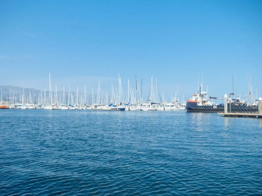
The California Coast Ranges extend southward for more than 60 miles to where the coastline turns eastward along the Santa Barbara Channel, around the area of Point Conception. Here the southern end meets the Los Angeles Transverse Ranges. It’s at this bend where California’s orientation shifts notably toward the east, pulling Los Angeles well to the right of where the northern coastline sits.
That eastward pivot is the crux of the whole phenomenon. Once the coast tilts away from the Pacific, the latitude lines carry Los Angeles noticeably inland in longitude terms – further east than a Nevada desert city sitting at the foot of the Sierra. Reno didn’t move. California’s southern coast simply arced away from it.
The Takeaway
Geography rewards careful attention. The assumption that ocean proximity equals westward position is deeply intuitive, but it only holds when a coastline runs perfectly north to south. California’s coastline doesn’t. It curves. Reno, planted firmly in the high desert east of the Sierra Nevada, ends up sitting measurably west of Los Angeles simply because the Pacific shoreline had already swept far to the southeast by the time it reached Southern California.
It’s a small fact with a surprisingly elegant explanation. The next time someone maps the American West in their head, this particular detail is worth keeping in mind. The real shape of the land is always more interesting than the mental shortcut.
AI Disclaimer: This article was created with the assistance of AI tools and reviewed by a human editor.