
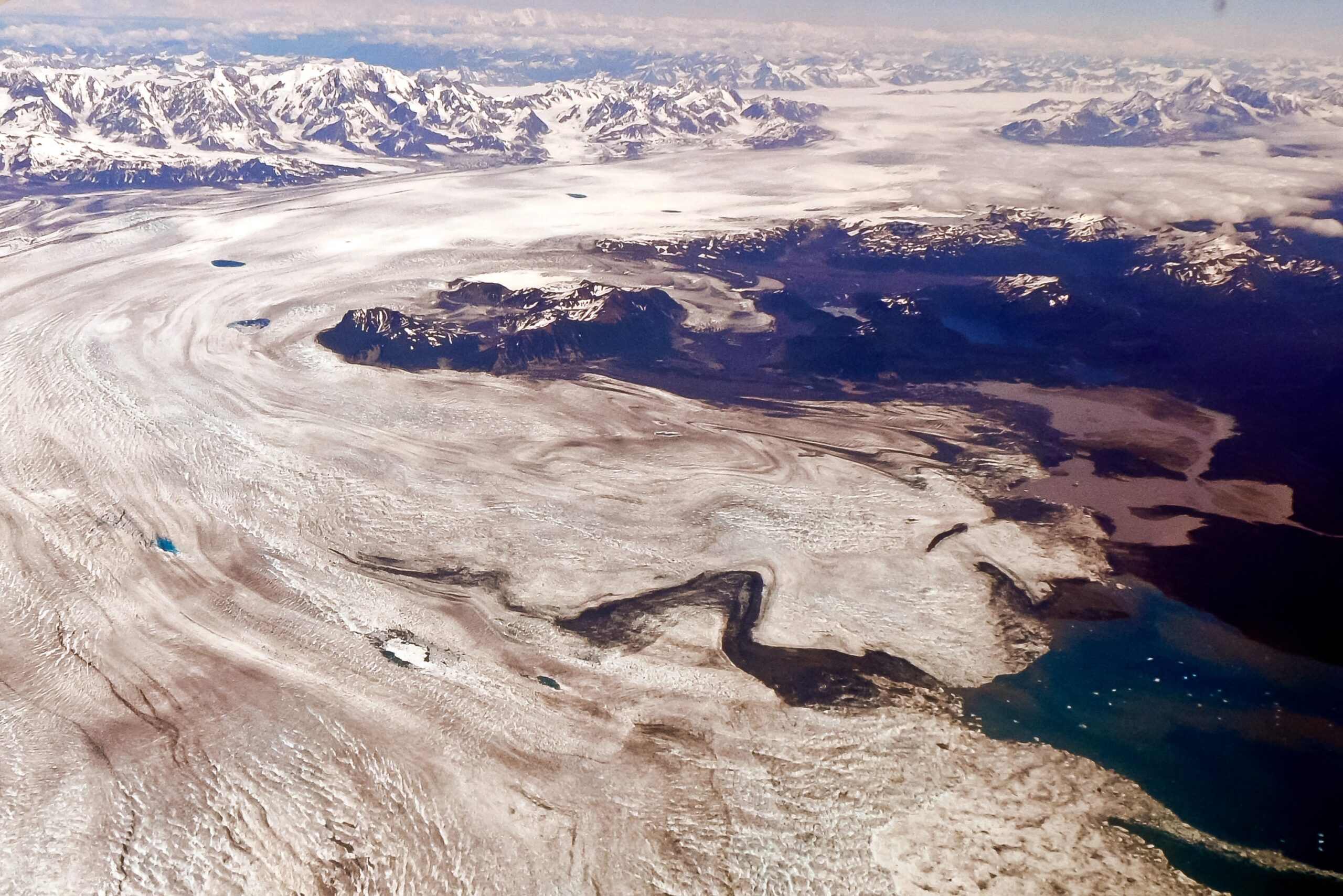

There’s a slab of ancient ice in Alaska so immense that it tends to defy easy comprehension. It doesn’t look dramatic on a roadside pull-out or a cruise ship itinerary, which is perhaps why it doesn’t get the attention it deserves. Yet by raw scale, nothing on the continent comes close to it.
This is the Bering Glacier, and it’s a place that rewards curiosity far more than familiarity. Here’s what makes it genuinely extraordinary.
A Scale That’s Hard to Wrap Your Head Around
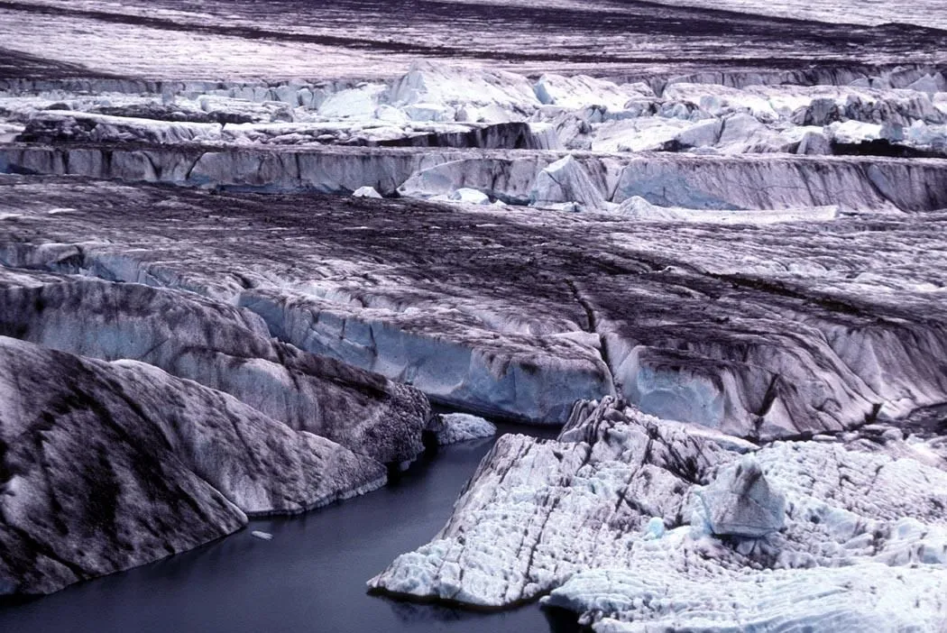
The largest glacier in the United States is the Bering Glacier, near Cordova, Alaska. With its associated icefield feeders, it stretches 203 kilometers (126 miles) in length and covers an area of more than 5,000 square kilometers, or roughly 1,900 square miles. To put that in perspective, the state of Rhode Island covers just over 1,200 square miles. The glacier’s size would cover one and a half Rhode Islands.
Most people instinctively picture a glacier as a scenic blue wall of ice calving into the sea. The Bering is something else entirely: a slow-moving, continent-spanning mass of compacted snow and ancient ice that occupies an area most people associate with an entire small state, not a single landform.
Where Exactly It Lives
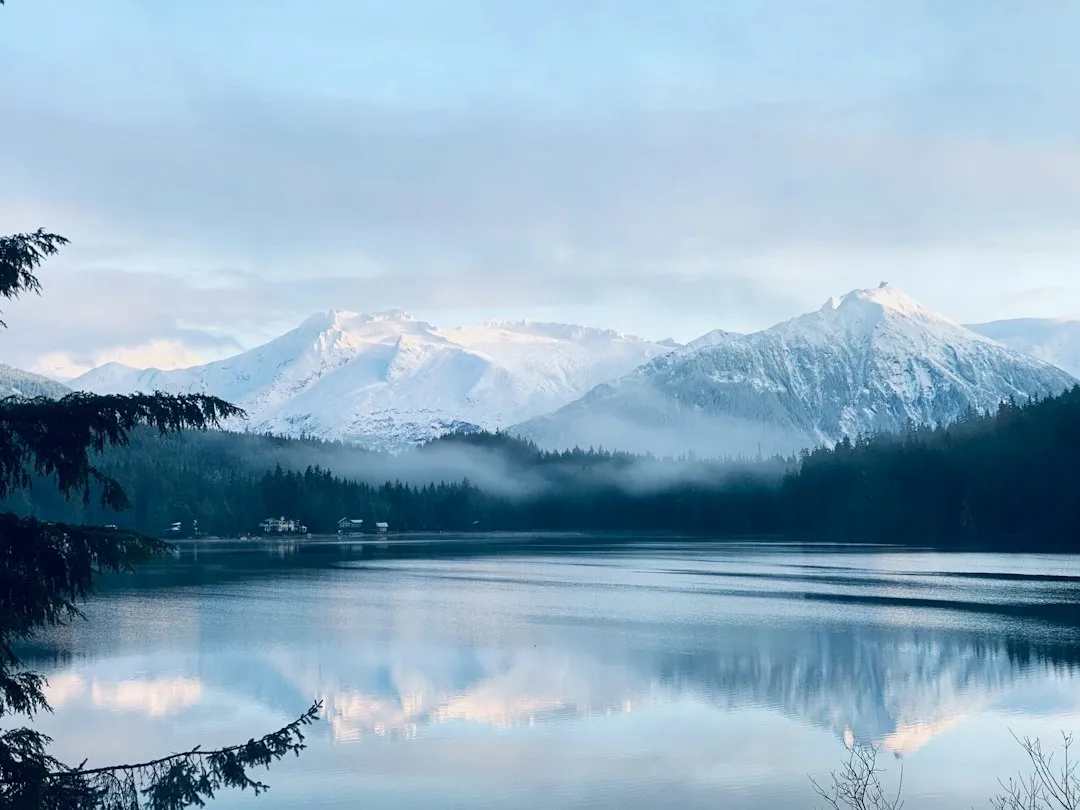
Alaska’s biggest glacier is located about 225 miles southeast of Anchorage, near the ocean east of Prince William Sound and the Copper River Delta. It flows from one of the most formidable mountain ranges in the world. The glacier flows from the St. Elias Mountains into the Gulf of Alaska, and is classified as a surge-type valley glacier.
The Bering Glacier ends at the edge of Vitus Lake, which is located outside the Wrangell-St. Elias National Park and Preserve area. Vitus Lake empties into the Gulf of Alaska by way of the Seal River. It’s a remote and genuinely wild corner of the planet, rarely visited, and all the more striking for it.
The Bagley Icefield: The Engine Behind the Giant
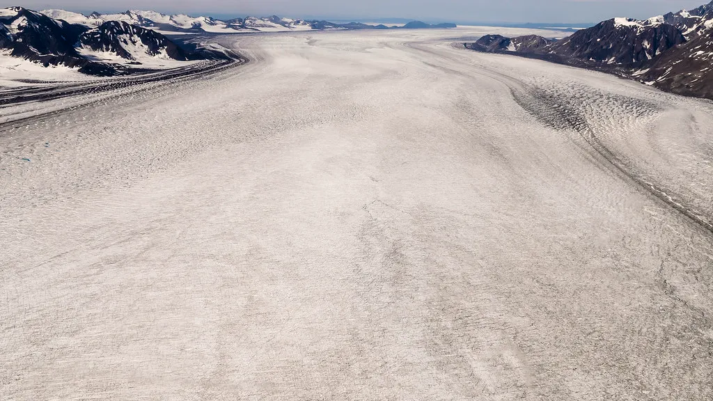
The glacier is part of the Bagley Icefield, which is recognized as the largest of its kind outside of the polar regions of North America. Think of the icefield as the glacier’s accumulation zone, the enormous high-altitude reservoir that keeps feeding ice downhill over centuries. The snow and low temperatures of the icefield have contributed to the development of the Bering Glacier over time.
The Bagley Icefield sits at a genuinely impressive elevation, and the sheer volume of snow it captures each year is what allows the Bering to maintain its extraordinary size despite ongoing melt. Without it, the glacier would be a very different story.
How It Compares to Other US Glaciers
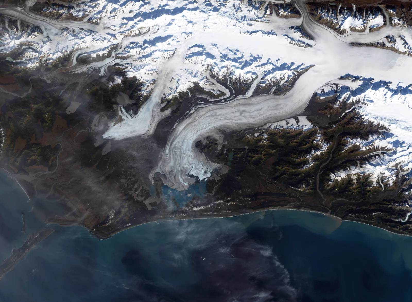
Bering Glacier, not Malaspina, holds the title of the largest glacier in the United States. Stretching over 125 miles and covering approximately 1,900 square miles, Bering is a surge-type glacier with a complex internal plumbing system and a long history of dramatic advances and retreats. The distinction matters, because the two are often confused.
As a valley or terrestrial glacier, Bering is less photogenic than Malaspina, perhaps more remote, more layered, and more difficult to grasp in a single image. Malaspina, for its part, is the world’s largest piedmont glacier and spreads in a dramatic fan shape near Yakutat Bay. Both are remarkable, but the Bering wins on sheer scale.
Alaska’s Stunning Glacial Abundance
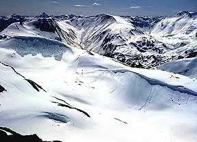
In the United States, glaciers currently cover over 90,000 square kilometers (35,000 square miles). Most of those glaciers are located in Alaska, which holds 87,000 square kilometers (34,000 square miles) of glacial ice. That is a staggering concentration of ice for a single state.
According to the National Park Service, there are an estimated 100,000 glaciers in Alaska, with only 616 officially named. This figure includes a wide range of glacier types, from small, unnamed glaciers to massive ice fields. Most visitors to Alaska never see the majority of them, including the Bering itself, which remains genuinely inaccessible to casual tourism.
A Glacier That Surges
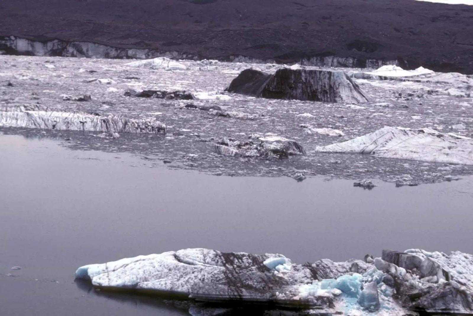
Surges are caused by some instability inside the glacier, driven by the supply of meltwater to the base. The Bering Glacier is North America’s largest and longest glacier, at 125 miles in length, and in 2008 it staged one of the great ice surges of the century. During a surge, a glacier can advance dramatically in a very short period of time by geological standards.
The Bering Glacier is notable not only for its size but also for its dynamic nature: it is constantly moving and changing. Surge-type glaciers are relatively rare globally, and the Bering’s surging behavior has made it one of the most studied glacier systems in North America. Researchers have tracked its cycles of advance and retreat with growing interest.
Its Relationship With Seismic Activity
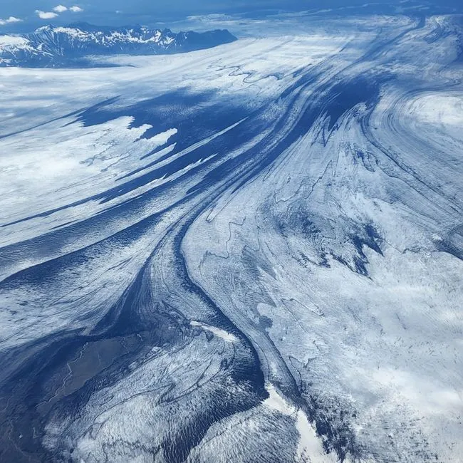
Bering Glacier is not only the largest glacier on the continent – it prevents earthquakes by stabilizing the fault line. This is one of the less intuitive facts about the glacier, and it speaks to just how integrated it is with the geology beneath it. The sheer weight of glacial ice can suppress seismic movement in ways that are still being actively researched.
The glacier also has a broader relationship with seismic activity in the region. As the glacier loses mass over time, the reduction in ice pressure on underlying rock raises real scientific questions about what happens to fault behavior when that stabilizing weight is removed.
What the Glacier Gives to the Ocean
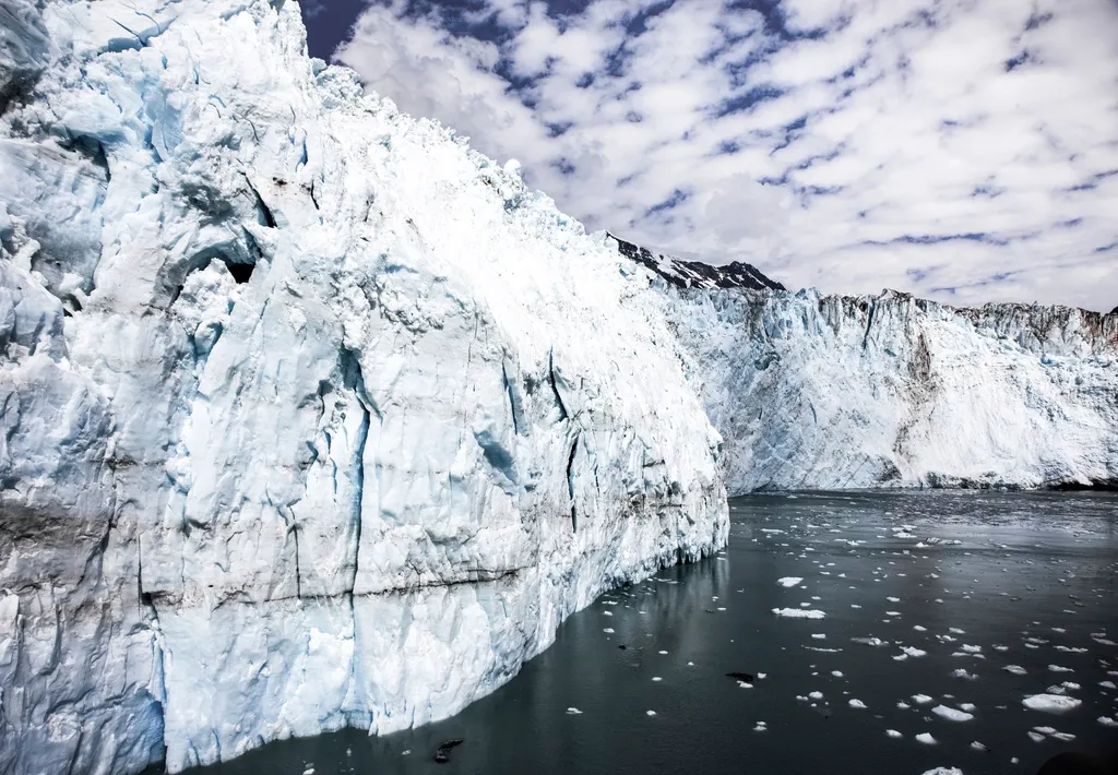
Runoff from the glacier is responsible for providing 6.5 trillion tons of water to the Gulf of Alaska each year. That number is almost too large to be intuitively meaningful, but it speaks to the Bering’s role as a hydrological force of nature. It doesn’t just sit there: it actively feeds one of the world’s most productive marine ecosystems.
The Gulf of Alaska supports an immense fishery, and glacial meltwater plays a role in regulating temperatures, salinity, and nutrient flows in those waters. The Bering Glacier isn’t separate from that ecosystem. It’s deeply woven into it.
The Retreat That’s Already Underway
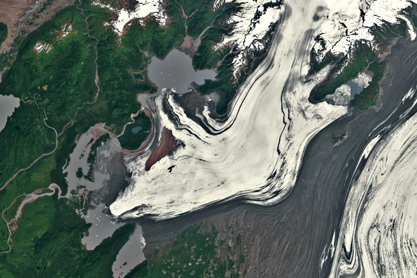
Like all glaciers around the world, the Bering Glacier is currently threatened by global climate change. Increasingly warmer temperatures and inconsistent levels of precipitation threaten to continue decreasing its size. Researchers have determined that the glacier has already lost several hundred feet in thickness over the last century.
Named after explorer Vitus Bering, the glacier has retreated up to 12 kilometers since 1900 due to rising temperatures and changing precipitation patterns documented through satellite imagery. Meanwhile, the broader picture is sobering. Due to a warming climate, glaciers worldwide are retreating at a faster rate than at any other point in history and are predicted to lose roughly a third of their mass by 2050.
What Scientists Are Watching Now
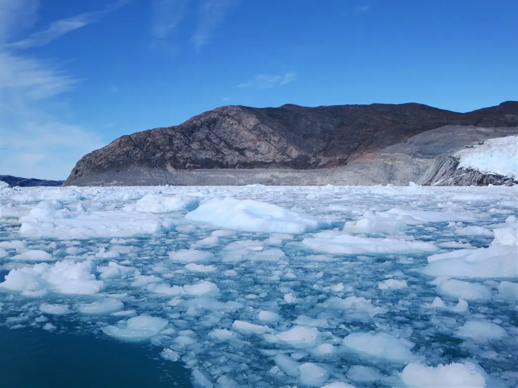
A paper published in Nature Reviews Biodiversity shed further light on how glacial retreat drives unmitigated changes to ice, water, and land, and how the loss of glaciers threatens the health of our planet. The research analyzed more than 160 studies focused on specific aspects of glacial retreat to reveal the global impact on biodiversity and ecosystem function.
When glaciers melt rapidly, the immense water runoff stresses local ecosystems, reduces water security for people, flora, and fauna, and contributes to rising sea levels. Retreating glaciers can also change ocean currents and have been linked to destructive global weather patterns and the collapse of fisheries around the world. For a glacier as massive and ecologically interconnected as the Bering, those stakes feel especially real.
A Place Worth Knowing, Even From a Distance
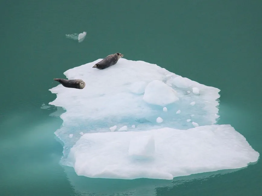
The Bering Glacier will never be an easy place to visit, and honestly, that’s part of what makes it worth knowing about. It sits in one of Alaska’s most remote stretches, largely out of sight, doing what it has done for millennia: carving, feeding, stabilizing, and slowly yielding to a warmer world.
It is bigger than Rhode Island. It feeds trillions of tons of water into the sea each year. It influences fault lines and ocean currents. Today, roughly ten percent of land area on Earth is covered with glacial ice. The Bering Glacier represents one of the finest concentrations of that ice outside the polar regions, and the decisions we make in the coming decades will determine how much of it remains for the generations that follow.
AI Disclaimer: This article was created with the assistance of AI tools and reviewed by a human editor.