
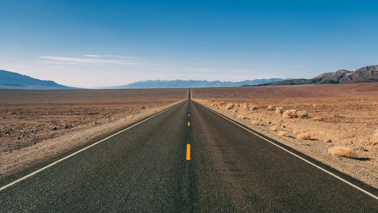

The Blue Ridge Parkway stretches 469 miles along the crest of the Appalachian Mountains, linking Shenandoah National Park in Virginia with Great Smoky Mountains National Park in North Carolina. Travelers who choose this route discover a corridor where elevation shifts and forest cover create distinct seasonal rhythms, from spring wildflowers to autumn foliage. The experience rewards those who drive slowly, stop often, and move with respect for the land and the communities that call these mountains home.
Why This Parkway Endures
The road was conceived during the Great Depression as a public-works project that would connect two national parks while providing jobs. Construction spanned decades, and the final segment opened in 1987. Today the Parkway remains one of the few long-distance routes in the United States designed explicitly for scenic travel rather than speed. ([1])
Its gentle curves and frequent overlooks encourage drivers to linger. Stone tunnels, arched bridges, and rustic visitor centers reflect the Civilian Conservation Corps aesthetic that still defines the corridor. Because commercial development is limited along most of its length, the drive retains a quiet, almost timeless quality even on busy weekends.
Landscapes That Shift With Elevation
At lower elevations near the southern end, the road passes through cove forests rich with rhododendron and mountain laurel. Higher sections near Mount Mitchell, the tallest peak east of the Mississippi, open onto grassy balds and spruce-fir stands more typical of northern latitudes. These rapid changes in plant communities create the sensation of traveling through multiple climate zones in a single day.
Small historic sites punctuate the route. Mabry Mill, with its working waterwheel and blacksmith shop, offers a glimpse of early-20th-century mountain life. Farther north, the Blue Ridge Music Center celebrates the region’s old-time and bluegrass traditions with live performances on summer weekends. Each stop rewards visitors who arrive curious rather than rushed.
Four Distinct Seasons on the Road
Spring arrives first at lower elevations, where dogwood and serviceberry bloom in April and May. Higher elevations follow weeks later, extending the wildflower season for those willing to drive the full length. Summer brings lush greenery and frequent afternoon thunderstorms that clear the air for dramatic sunsets.
Autumn is the most celebrated season, yet the color progression still surprises first-time visitors. Peak foliage moves from north to south and from high to low elevations over several weeks, allowing repeat trips to capture different palettes. Winter quiets the Parkway; many sections close due to ice, but the stretches that remain open offer stark views of snow-dusted ridges and the chance to experience the mountains in near solitude.
Traveling With Care
Responsible visitors keep speeds low, stay on pavement, and pack out all trash. The Parkway crosses both public and private land, so respecting posted boundaries protects the very views that draw travelers. Local outfitters and farm stands along connecting roads benefit when visitors choose to purchase crafts, produce, or meals rather than relying solely on chain services farther from the route.
Weather can change quickly at elevation. Checking the National Park Service road-status page before departure and carrying layers, water, and a full tank of fuel remain simple habits that support both safety and enjoyment. Those who plan overnight stays in nearby towns rather than camping directly on the Parkway help distribute economic benefits more evenly across mountain communities.
AI Disclaimer: This article was created with the assistance of AI tools and reviewed by a human editor.