
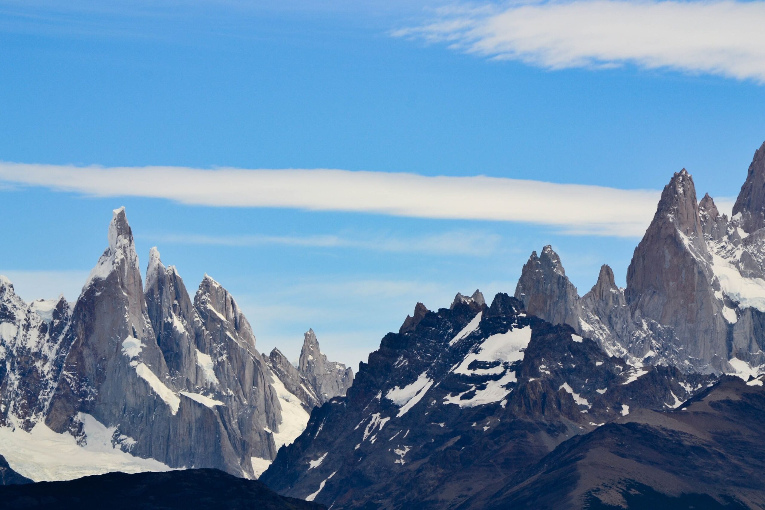

A Range That Redefines Scale
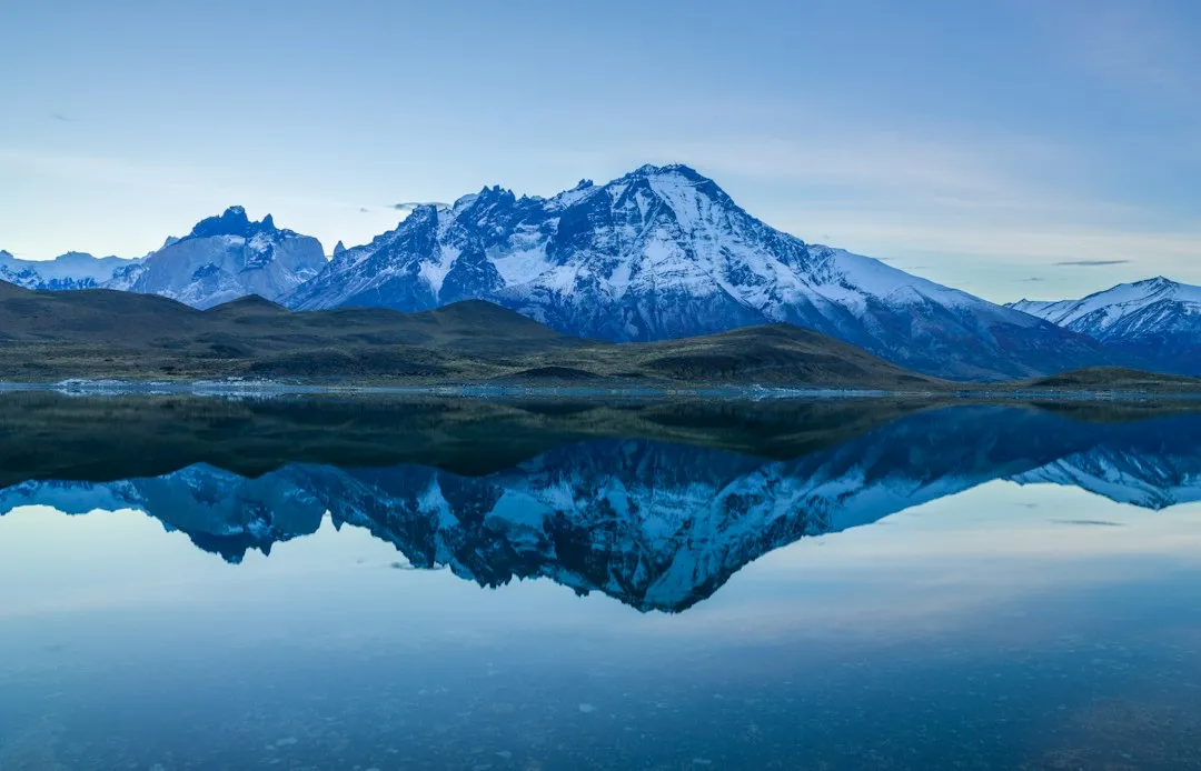
Located along the entire western coast of South America, the Andes mountain range is about 4,500 miles long by some measurements, though many sources now place the total length closer to 5,500 miles. The variation in figures comes down to how the range’s northern and southern extremities are defined, but every serious estimate dwarfs the width of the United States.
The mountain range spans seven countries: Venezuela, Colombia, Ecuador, Peru, Bolivia, Chile, and Argentina. The Andes are the longest exposed mountain range in the world, and the second-highest after the Himalayas. No other continental mountain system on Earth comes close to matching its reach.
How the Andes Were Born
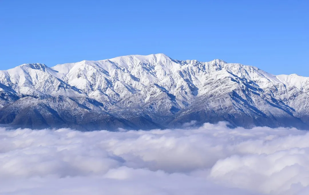
The Andes are the longest continental mountain range in the world, formed through subduction, a process involving the collision and interaction of tectonic plates. The Andes are the result of plate tectonic processes, caused by the subduction of oceanic crust beneath the South American continental plate. Specifically, it was the subduction of the Nazca Plate beneath the South American Plate that formed the Andes.
The Andes range has many active volcanoes distributed in four volcanic zones separated by areas of inactivity. This geological restlessness is not incidental. It is the same subduction process that raised the peaks in the first place, and the range remains geologically active to this day. The Andes are, in a very real sense, still being built.
The Heights That Take Your Breath Away
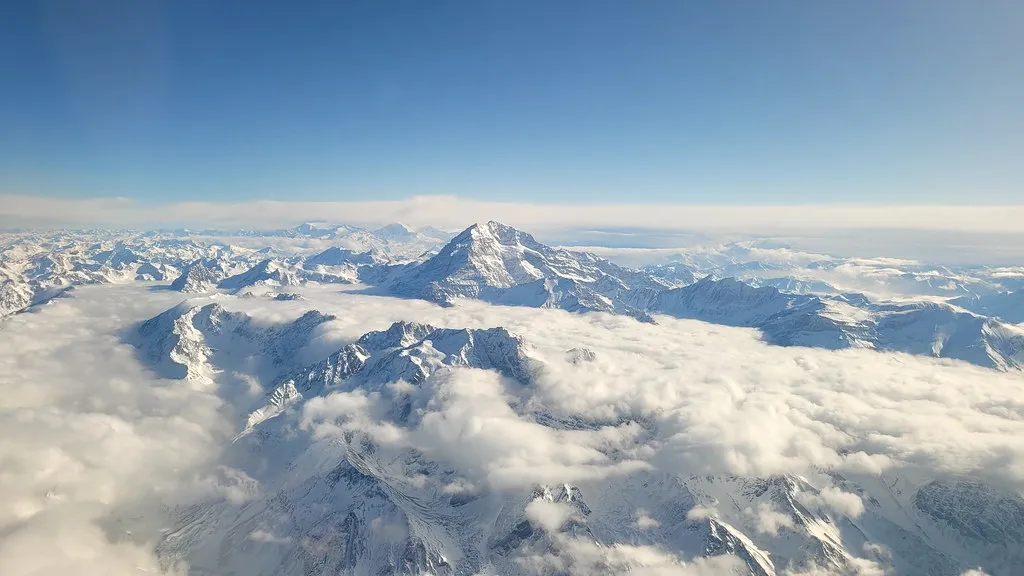
The average elevation in the Andes is about 13,000 feet. That is not the peak of a dramatic summit. That is the average across the entire range. For context, 13,000 feet is higher than any point in the continental United States outside of Colorado.
The highest elevation in the Andes is Mount Aconcagua in Argentina, which stands at 22,841 feet above sea level. The only mountains taller than the Andes are the Himalaya Mountains and their adjacent ranges, including the Hindu Kush. Every serious mountaineer in the Western Hemisphere measures ambition against Aconcagua.
Width, Breadth, and Dramatic Geography
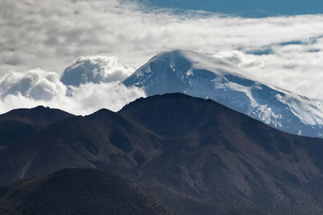
The Andes range is about 200 kilometers wide throughout most of its length, except in Bolivia where it is 640 kilometers wide. That Bolivian bulge is home to the Altiplano, one of the world’s largest high-altitude plateaus, sitting above 12,000 feet for much of its expanse.
Rainforests exist just kilometers away from the snow-covered peak of Cotopaxi. This kind of compressed ecological contrast is what makes the Andes genuinely unlike any other mountain system. The range doesn’t just divide climates. It stacks them vertically within the same view.
Seven Countries, One Spine
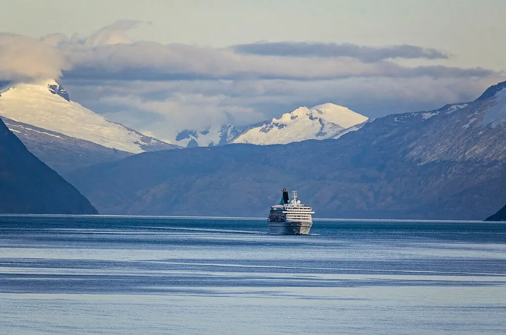
The Andes pass through seven countries, including Venezuela, Colombia, Ecuador, Peru, Bolivia, Chile, and Argentina, making it the world’s longest continental mountain range. Each of these countries has built its identity, in part, around the mountains. The Andes do not respect borders. They predate them by millions of years.
In Colombia, north to the border with Ecuador, the Andes split into three parallel ranges: western, central, and eastern. This branching adds complexity to the system that maps rarely capture. The Andes are not a single wall. In places, they are a labyrinth.
The Name and Its Origins
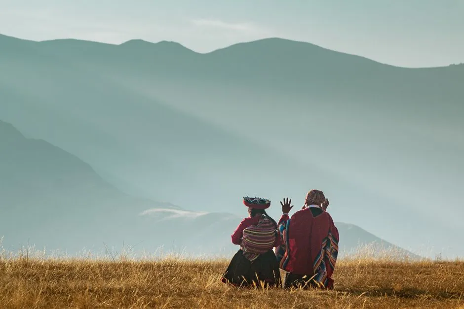
The origin of the name Andes has not been definitively determined. Most agree that it comes from the Quechua word “anti,” which translates to “high crest.” A minority argue that it comes from Anti Suyu, which is one of the four regions of the Incas who once inhabited the range.
The Quechua language itself is still spoken by millions of people across the Andes today. That the mountains carry a name rooted in Indigenous language is fitting. For thousands of years before European arrival, Andean peoples built civilizations at altitudes that most of the world would consider uninhabitable.
A Treasure Chest of Minerals and Resources
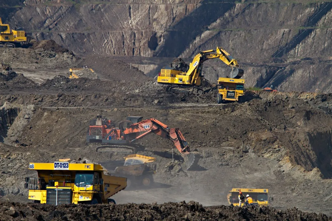
Increasing numbers of people have become involved in mining in the Andean region, which is one of the world’s richest sources of minerals. The Andes hold enormous deposits of copper, silver, gold, lithium, and tin, resources that have shaped the economic and political histories of every Andean country for centuries.
Meltwater from snow, glaciers, and ice sheets supplies freshwater, generates hydroelectric power, and supports farming across the Andes. The mountains are not just a geological spectacle. They are infrastructure, supplying water and energy to cities and farms across an entire continent.
Glaciers Under Threat
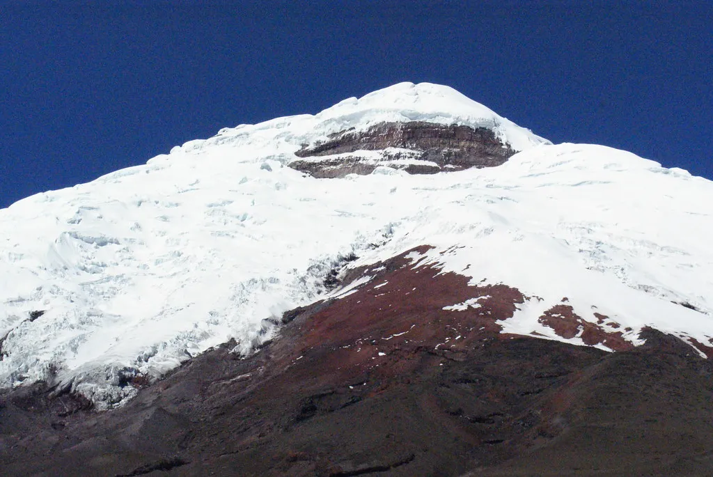
The Andean glaciers are thinning by 0.7 metres a year, 35 per cent faster than the global average. The shrinking of the glaciers has accelerated in recent decades, with unprecedented rates of ice loss post-2000, coinciding with increased greenhouse gas emissions worldwide.
A recent study published in the journal Science shows that glaciers in the tropical Andes have now retreated further than at any other time in the entire Holocene, which covers the whole history of human civilisation since the invention of agriculture. The Andes are home to more than 99% of all tropical glaciers on Earth. Under high emissions scenarios, almost all tropical Andean glaciers could be gone entirely by 2100.
Ninety Million People at Risk
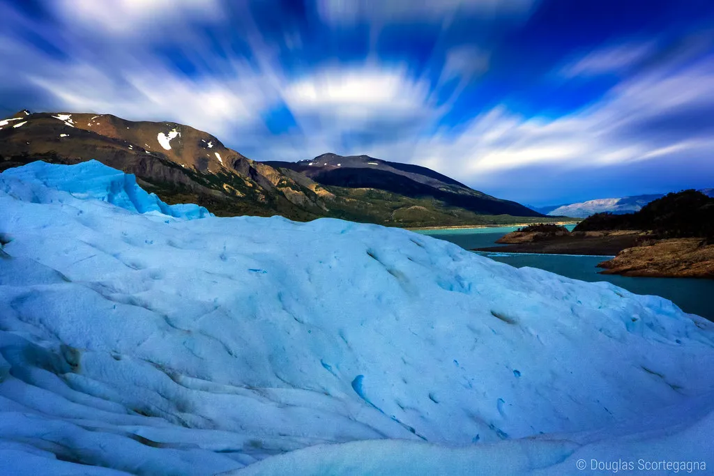
A policy brief titled “The Future of the Andean Water Towers,” presented in March 2025 by scientists from the Universities of Sheffield and Newcastle, warned that climate change is raising air temperatures, causing more frequent extreme weather events, decreasing snowfall, and increasing droughts across the Andes, all of which threaten the stability of the glaciers as a water source.
Nearly 90 million people depend on Andean glacial meltwater for drinking, farming, and survival. Glaciers across the rest of the Andes will experience significant losses under an optimistic climate scenario, and up to 58 percent of the present ice volume will be lost under a higher emissions scenario. This is not a future problem for a distant population. It is happening now, and the communities feeling it most are those with the fewest resources to adapt.
Restoration Efforts and a Path Forward
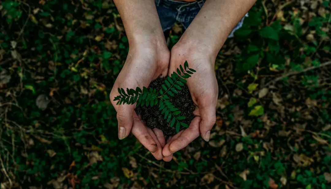
Between the 2024 and 2025 planting season, the organization Acción Andina planted over 2.4 million native trees in the Andes as part of ecosystem restoration efforts designed to protect watersheds and high-altitude biodiversity. It is one of many initiatives underway to address what glacial retreat is taking away.
Andean restoration helps communities adapt to the climate crisis, while protecting high-Andean ecosystems, biodiversity, and high-altitude glaciers and watersheds. The retreat of glaciers has forced communities along the Andes to adapt. Those adaptations, rooted in both Indigenous knowledge and modern science, represent the resilience that this remarkable range has always demanded of the people who call it home.
What the Andes Teach Us
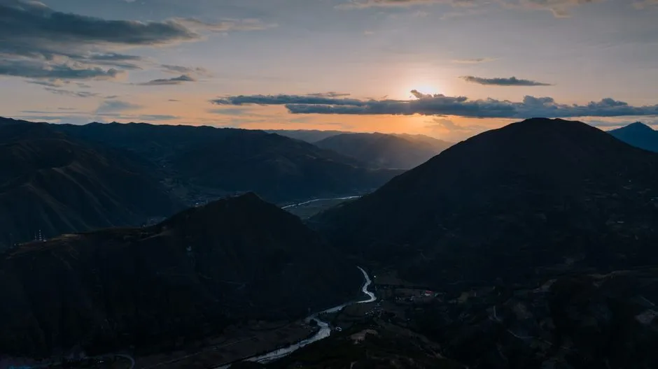
A mountain range longer than the width of a continent-spanning nation is easy to describe in numbers. It is harder to truly comprehend. The Andes are not a backdrop. They are a living system, a geological engine, a water source, a cultural homeland, and one of the most biologically diverse corridors on the planet, all running in a single unbroken chain from the tropics to the southern ocean.
What happens to the Andes in the coming decades will shape the lives of tens of millions of people, the flow of major rivers, the stability of food systems, and the survival of ecosystems found nowhere else on Earth. The scale of the range makes the scale of the responsibility impossible to ignore.
AI Disclaimer: This article was created with the assistance of AI tools and reviewed by a human editor.