
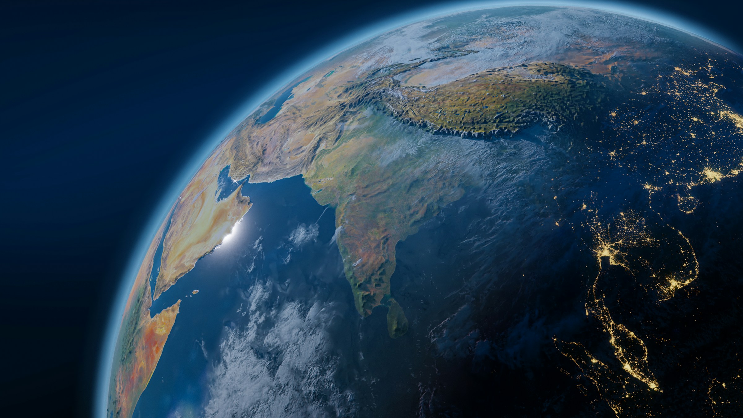
Most countries occupy one, maybe two hemispheres. A handful straddle three. Only one on earth manages to exist in all four simultaneously, spanning the invisible lines that divide our planet north from south and east from west. That country is Kiribati, and its story is far more remarkable than its modest size suggests.
Pronounced “Kiribas,” this Pacific island nation is rarely mentioned in the same breath as geographic giants, yet it holds a distinction no other sovereign state can claim. Stretched across an almost incomprehensible stretch of ocean, it quietly redefines what it means to belong to the world.
What Makes All Four Hemispheres Possible
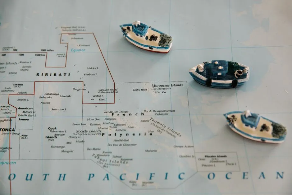
The earth is divided into four hemispheres by two lines: the equator, which divides north from south, and the prime meridian and its opposite the antimeridian, which divide east from west. For a country to exist in all four hemispheres, its territory must cross both of these dividing lines, and Kiribati does exactly that. This is not a technicality or a quirk of cartographic convention. It is a straightforward consequence of how its islands are scattered across the Pacific.
The Gilbert Islands, which consist of 16 atolls, are found on both the Southern and Northern hemispheres. The same island chains also straddle the antimeridian, the 180-degree line of longitude, placing Kiribati in both the Eastern and Western hemispheres simultaneously.
A Nation Scattered Across 3.5 Million Square Kilometres
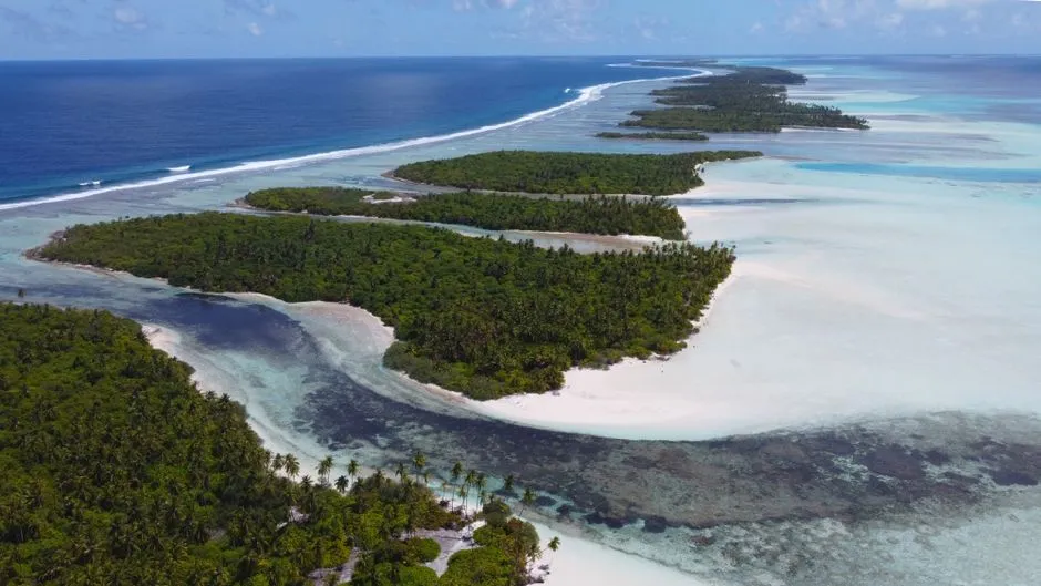
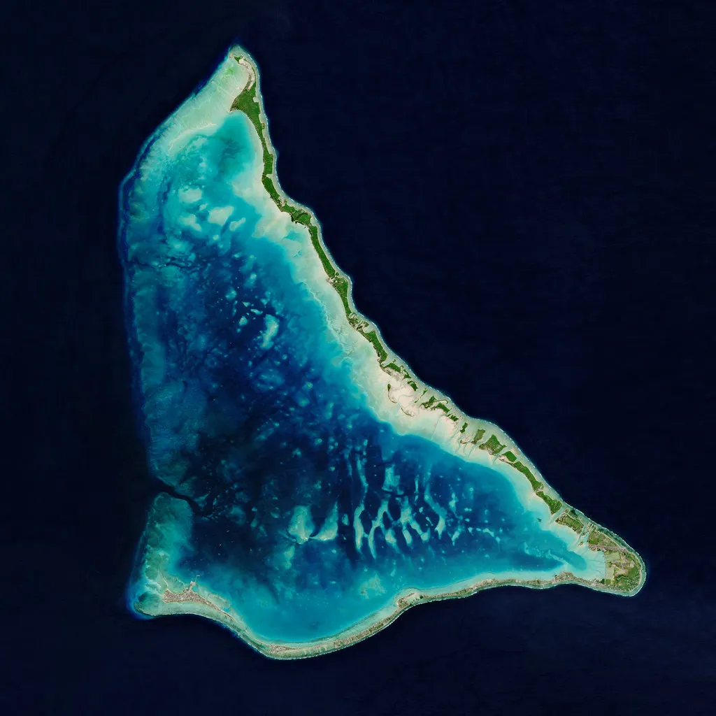
Kiribati is a Pacific island nation made up of 33 coral atolls scattered across 3.5 million square kilometres of ocean, more maritime territory than the land area of India. The sheer scale of that ocean territory is worth sitting with for a moment. The total land area of all 33 atolls combined is only about 811 square kilometres, making it one of the smallest countries in the world by land area despite its enormous ocean territory.
While the country’s land area is a mere 811 km², it has an Exclusive Economic Zone of 3,441,810 km², making it roughly four thousand times larger. Thus, while the country is only the 187th largest in the world, its EEZ is slightly larger than all of India. That contrast between tiny land and vast sea is one of the defining paradoxes of Kiribati.
The Four Island Groups That Span the Globe
The nation consists of four island groups: the Line Islands, Gilbert Islands, Banaba Island, and Phoenix Islands. Each group occupies a different pocket of the Pacific, and together they stretch from just north of the equator to just south, and from just west of the antimeridian to just east. There is almost 4,000 kilometres between the easternmost and westernmost parts of Kiribati, which is almost as wide as Australia.
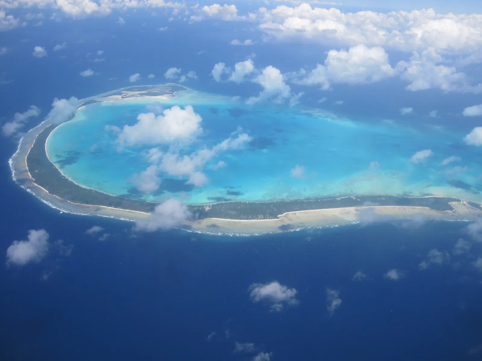
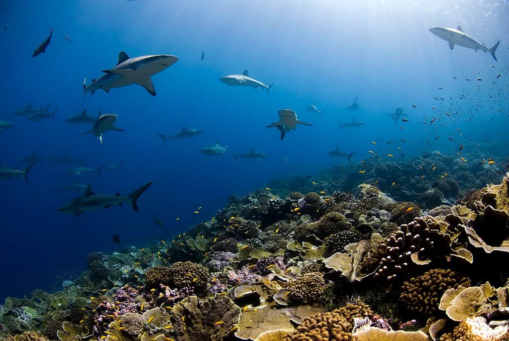
Kiribati is made up of 33 atolls, ring-shaped reefs or series of islets caused by submerged volcanoes, of which only 20 are inhabited. The uninhabited atolls are not wastelands, though. Many support fragile coral ecosystems and seabird populations that thrive precisely because human footfall is so rare.
The Date Line Was Moved for Kiribati

In 1995, the International Date Line was realigned so that it does not divide the country, to accommodate all of the islands in the same working day. Before that adjustment, the Line Islands in the east and the Gilbert Islands in the west existed on different calendar days, creating practical difficulties for governance, commerce, and communication.
Kiribati adjusted the International Date Line in 1995 to ensure the entire country shares the same calendar day. As a consequence, the New Year arrives first in Kiribati and then in any other country in the world, because Kiribati is furthest ahead of Greenwich meantime at GMT+14. It is, by that measure, always the first place on earth to greet a new day.
A Population of Modest Size in an Ocean of Scale
As of 2026, Kiribati has a total population of 138,445, ranking as the 193rd most populous nation in the world. Kiribati has a net population change of approximately 5 people per day, driven by 9 births, 3 deaths, and net emigration of 1 person. That daily rhythm of arrivals and departures tells its own quiet story about a nation under demographic pressure.
The country’s population is concentrated in the Eastern Hemisphere and Northern Hemisphere. Life expectancy at birth stands at 66.6 years, a figure shaped by geographic isolation, limited healthcare infrastructure, and the practical challenges of delivering services across dozens of dispersed atolls.
Ancient Roots in a Remote Place
The first settlers in Kiribati came from Southeast Asia via Micronesia around 4,000 to 5,000 years ago. These early navigators read ocean swells, stars, and bird flight patterns to cross thousands of kilometres of open water without instruments. Kiribati was a British protectorate from 1892 until 1979, when it became independent and was officially renamed Kiribati.
The name itself carries something of the country’s identity inside it. “Kiribati” is the Gilbertese spelling of “Gilberts,” and the “ti” in the language is pronounced “s,” which is why the name sounds like “Kiribas” rather than how it looks on paper. The name Kiribati was adopted upon the country’s independence in 1979.
An Economy Built on the Edge of Possibility
Due to the lack of natural resources, Kiribati is among the world’s poorest countries. The country supports its economy with the help of tourism, which constitutes almost 20% of its GDP. Fishing license revenues from foreign fleets operating in its vast Exclusive Economic Zone also provide a meaningful income stream, one that depends entirely on the health of the surrounding ocean.
GDP stands at around $349 million and GDP per capita at roughly $2,559. Those numbers place Kiribati among the lower-income nations globally, though the informal economy, subsistence fishing, and community-based food sharing mean that headline figures don’t fully capture daily life on the atolls.
What It Actually Feels Like on the Ground
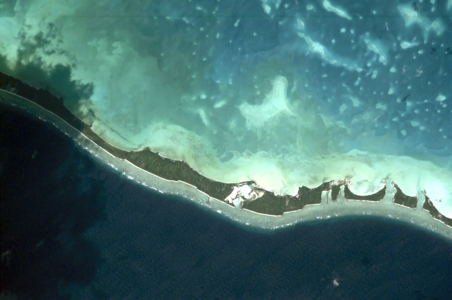
The country’s atolls average less than two metres above sea level. Walking across South Tarawa, the capital atoll, the ocean is never more than a short distance away on either side of the narrow strip of land. The capital South Tarawa on Tarawa atoll is served by Air Kiribati and Fiji Airways connections from Fiji, which is the main hub for onward travel to the country.
Kiribati is one of just 21 countries that do not have an army. Security relies on a small police force and coast guard. Daily life on most atolls centres on fishing, tending gardens in sandy soil, and navigating a tight-knit community culture where extended family networks remain the primary social safety net.
The Climate Crisis Is Not Abstract Here
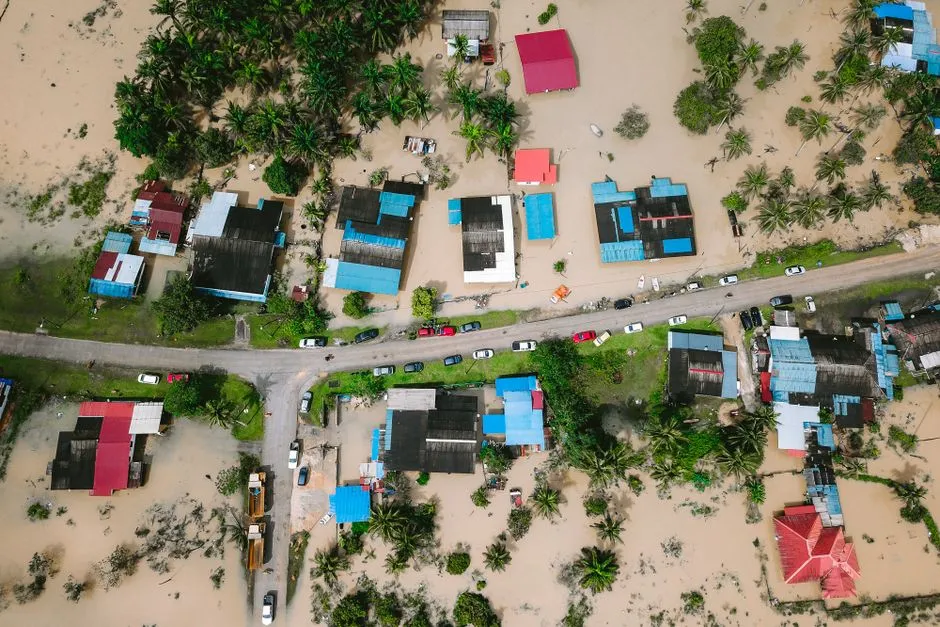
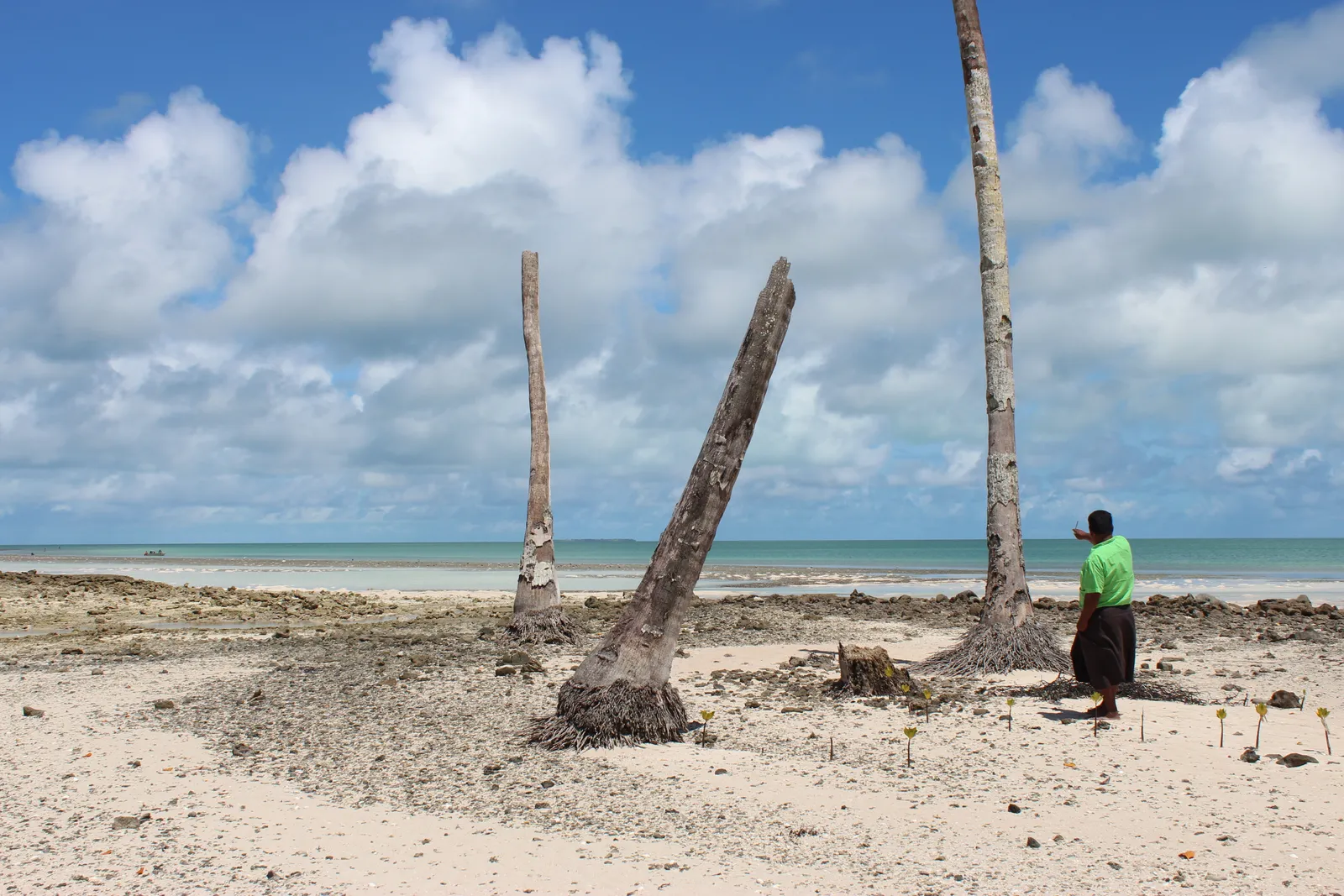
With an average elevation of just 2 metres above sea level, Kiribati is extremely vulnerable to rising seas. Climate change-induced sea level rise, intensified storm surges, and coastal erosion have placed the country in a state of existential crisis, threatening homes, infrastructure, and freshwater supplies.
A scientific study from February 2025 confirmed accelerated rates of sea-level rise around the Marshall Islands and Kiribati, leading to updated projections showing the potential for some inhabited atolls to become uninhabitable within the next two decades without large-scale adaptation. NASA predicts that Kiribati will experience a further 15 centimetres of sea level rise in the next three decades, even if greenhouse gas emissions are brought under control.
Rising sea levels push saltwater further inland, contaminating wells and making water undrinkable. Many communities now rely on rainwater collection systems, but irregular rainfall patterns, another effect of climate change, make this an unreliable solution.
How Kiribati Is Responding to an Existential Threat
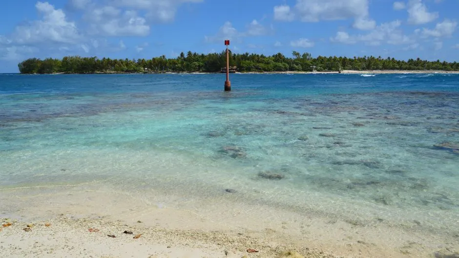
Addressing climate change has been a central part of Kiribati’s international policy, as a member of the Alliance of Small Island States. Plans have been unveiled to combat rising sea levels by raising Kiribati’s islands, using dredged material to elevate the land above future flood lines. It is an ambitious engineering strategy with no historical precedent at this scale.
Countries like Kiribati are taking drastic measures, including relocation agreements and land purchases, to safeguard their futures. Despite not being major contributors to the climate crisis, they are bearing the brunt of its impact. Kiribati is among the first countries that will cease to exist because of rising sea levels, underscoring the urgent need for support to help build the island nation’s climate resilience.
Why Kiribati Matters Beyond the Geography Trivia
It would be easy to reduce Kiribati to a footnote in a geography quiz, the answer to “which country exists in all four hemispheres?” filed away and forgotten. That framing does it a disservice. Kiribati is home to a living culture, a deeply rooted people, and a set of governance challenges that will shape how the international community responds to climate displacement for generations.
The phenomenon of “climate refugees” has emerged, with populations in nations such as Kiribati already facing potential relocation due to environmental impacts. Kiribati’s survival strategies may signal a new era of international agreements focused on mitigating the societal impacts of climate change, seeking to preserve entire nations and their cultures through mass or even total migration. No map, however cleverly redrawn, can fully account for what it means to lose a homeland.
A Final Thought
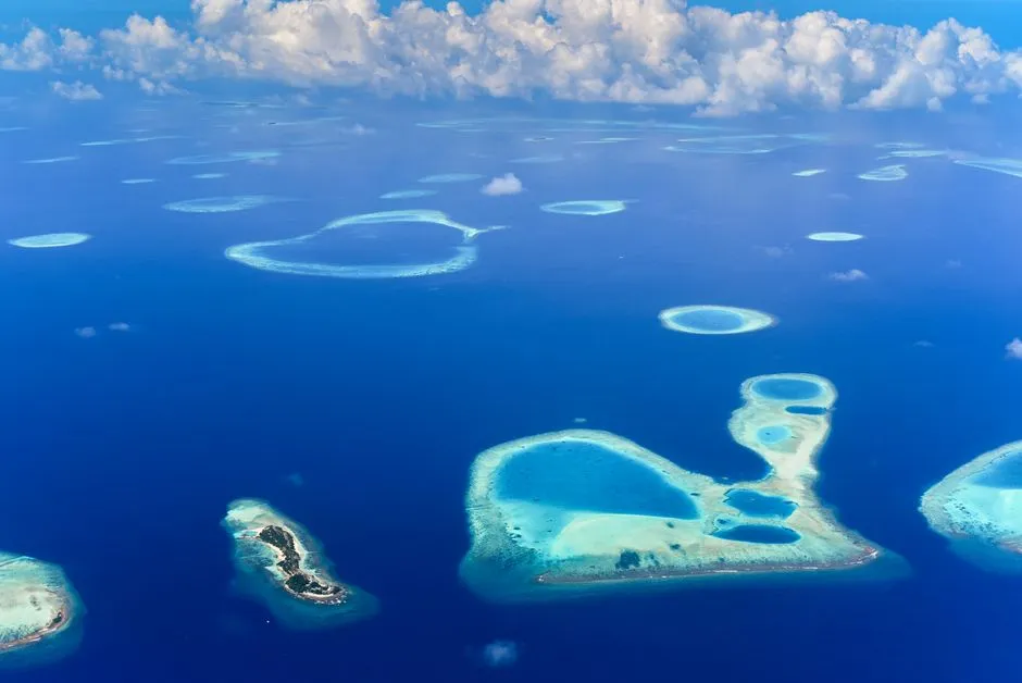
Kiribati occupies a position that no other country on earth can claim, straddling every hemisphere at once while remaining, in most conversations, almost invisible. Its geographic uniqueness is real and verifiable, but it sits alongside something more urgent: the question of whether a nation defined by water will survive the water’s rise.
The answer matters not just for the roughly 138,000 people who call these atolls home, but for every coastal community watching the same tide come in a little higher each year. Kiribati is not just an outlier on a map. It is, in some ways, a preview.
AI Disclaimer: This article was created with the assistance of AI tools and reviewed by a human editor.