
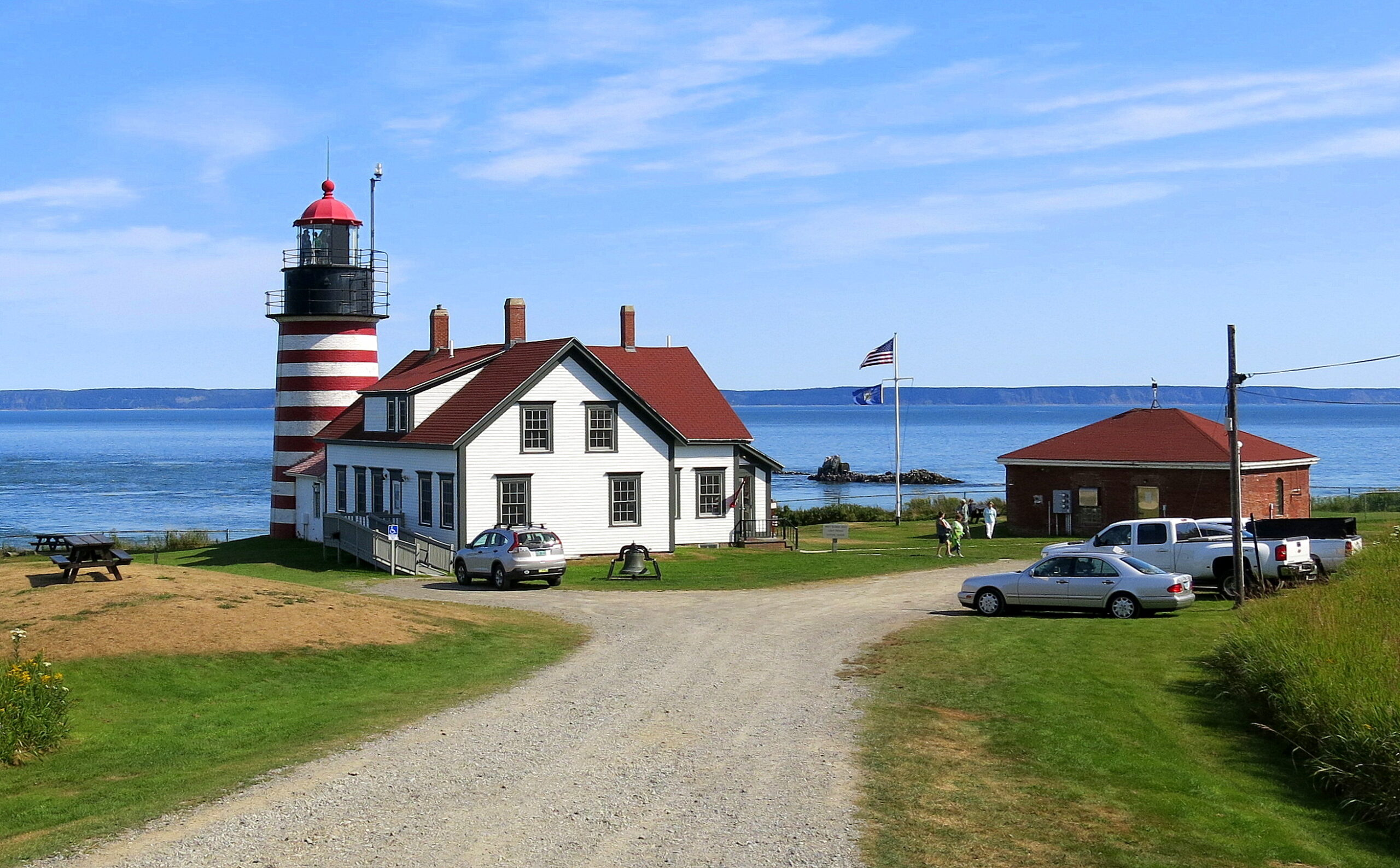
The Place: West Quoddy Head, Lubec, Maine
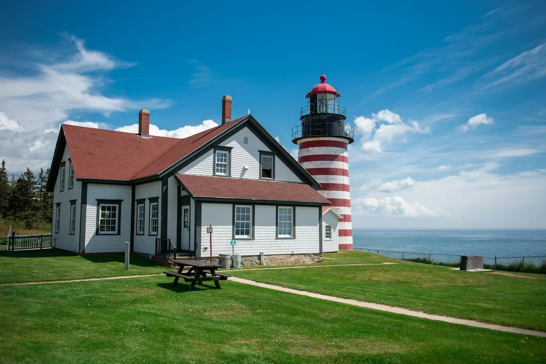
The easternmost point of Maine is Quoddy Head State Park, in the town of Lubec. West Quoddy Head in Lubec, Maine, is the easternmost point of the contiguous United States. It sits on a rocky, wind-swept peninsula that juts into the Atlantic with a kind of stubborn confidence, bordered by cold gray water on three sides.
The town of Lubec had a population of 1,237 at the 2020 census and is home to Quoddy Head State Park. Lubec is located about 210 kilometres, or 130 miles, east of Bangor, Maine. It’s not a tourist hub in the conventional sense – it’s small, unhurried, and genuinely off the beaten track.
The Distance: How Far Is Africa, Really?

According to geographical data and great-circle calculations, the shortest path over Earth’s surface, Maine’s easternmost point, West Quoddy Head, sits closer to Africa than any other U.S. state. Specifically, it’s about 3,154 miles (5,076 km) from El Beddouza, Morocco.
Maine’s Quoddy Head Lighthouse, the easternmost point of the continental U.S., is the closest to Africa. It stands 3,154 miles west of Africa, closer than Florida at 4,085 miles, North Carolina’s Cape Hatteras at 3,625 miles, and Cape Cod, Massachusetts at 3,332 miles.
Why Everyone Assumes It’s Florida
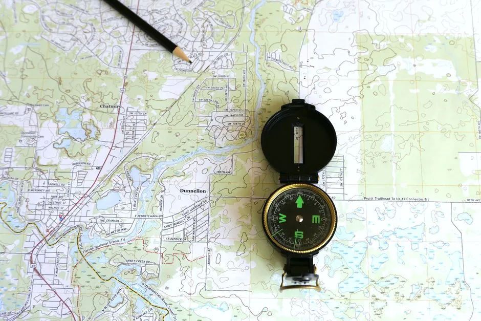
This fascinating fact challenges how we visualize maps. On flat projections, Florida seems to extend farthest east, but when you follow the globe’s curvature, Maine’s longitude gives it the lead.
Florida’s easternmost point, near Palm Beach, is roughly 80° West longitude, whereas Maine’s West Quoddy Head lies around 66°57′ West. That’s a difference of over 13 degrees, equivalent to several hundred miles of “eastward reach.” Florida goes south. Maine goes east. In the race to Africa, east wins.
The Science of Great-Circle Distance
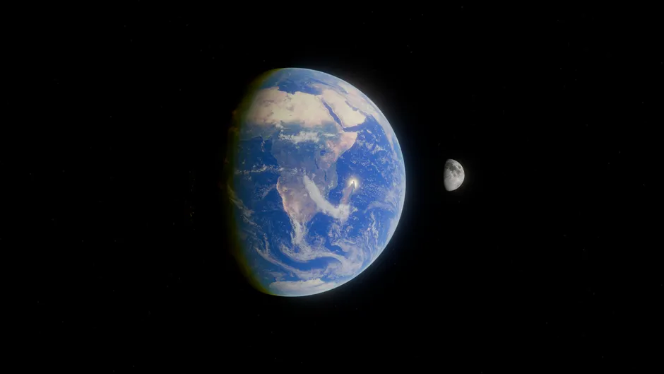
The Earth’s spherical shape means that the shortest distance between two points on its surface, also known as the great-circle distance, is not always what it seems on a flat map. This is the same principle that explains why flights from New York to London arc northward over Canada rather than cutting straight across the Atlantic.
To understand why Maine ends up being closer to Africa than one might initially think, it’s essential to visualize the globe rather than relying on a two-dimensional map. The curvature of the Earth plays a significant role in determining these distances. As one moves north along the eastern seaboard of the United States, the distance to western Africa actually decreases due to the Earth’s curvature, making points in Maine and neighboring areas the closest to certain parts of Africa.
The African Counterpart: El Beddouza, Morocco
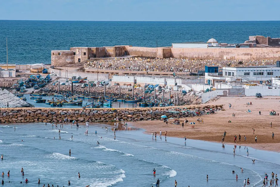
The closest point in Africa to the United States is in Safi Province, Morocco. El Beddouza in the northwest African country of Morocco is a sandy beach that is popular with tourists. It’s a quiet stretch of Atlantic coastline, warm and windswept, worlds apart in culture and climate from the rocky Maine coast it faces across the ocean.
The distance between these two points is the shortest between the US and the African continent. Two very different worlds, separated by one very wide ocean, yet geographically closer to each other than most travelers would ever guess.
The Iconic Lighthouse That Marks the Spot
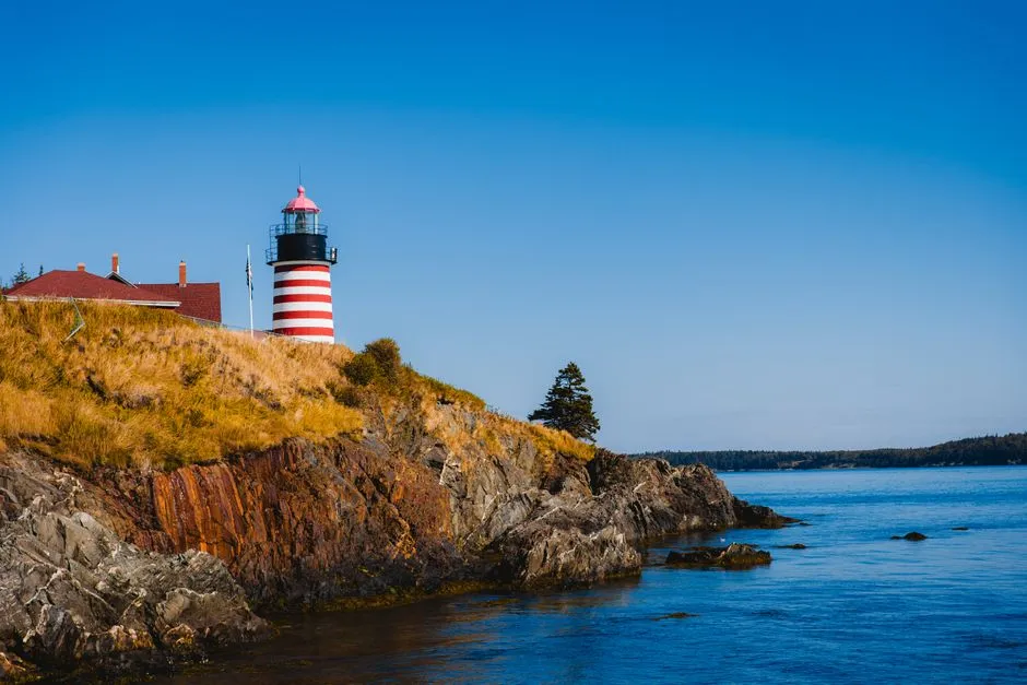
The West Quoddy Head Light station was established in 1808 and became the easternmost lighthouse in the United States. The West Quoddy Head Light is a well-known and photogenic red and white, candy-striped lighthouse in Maine on the easternmost point in the continental U.S.
The current lighthouse on the point was built in 1858 and features an original and unique third-order Fresnel lens that can reach up to 18 miles offshore. The attractive red-and-white-striped tower is only 49 feet tall and made of brick. The light station was added to the National Register of Historic Places on July 4, 1980.
The original tower was built in 1808 under orders from President Thomas Jefferson. That’s a detail that tends to linger – a lighthouse commissioned by a founding father, standing today as the easternmost sentinel of an entire continent.
Visiting the Park Today
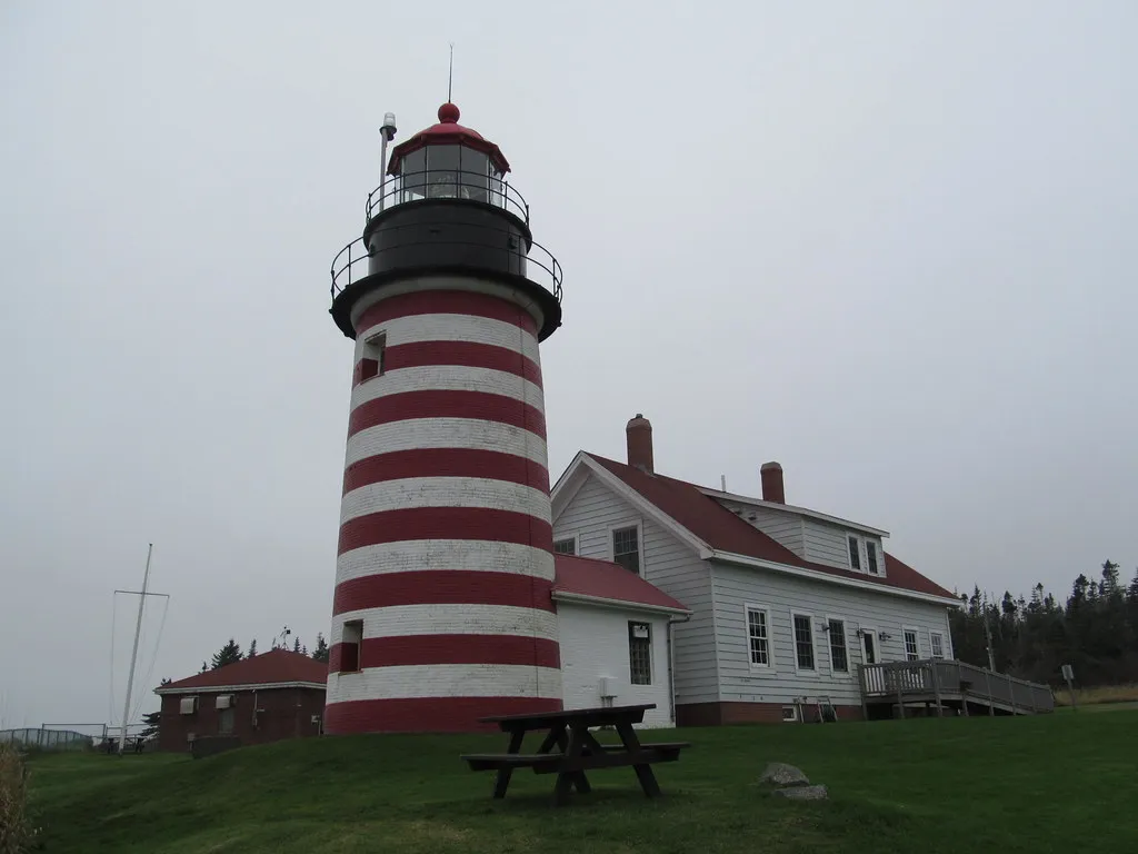
Quoddy Head State Park recorded 81,637 visitors in 2024, which tells you something about the quiet momentum this place has built. It’s not a blockbuster destination, but it draws a loyal, curious crowd – hikers, history lovers, and geography enthusiasts who enjoy knowing exactly where they’re standing.
The 532-acre state park that surrounds the lighthouse offers hiking and several miles of trails, and activities like whale watching and nature walks. The state park opens May 15th to October 15th for visitors and boasts 541 protected coastal acres. The Visitor Center, housed inside the historic lightkeeper’s residence, is currently closed for restoration and is anticipated to reopen in 2027.
The Sunrise Distinction
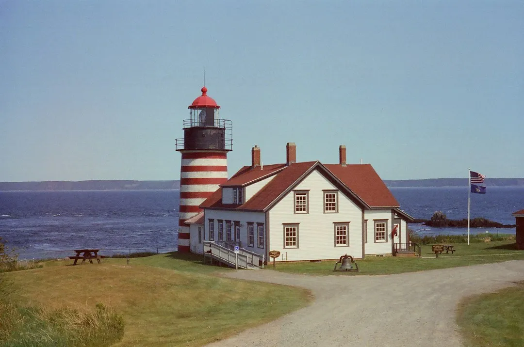
The Quoddy Head State Park is located about four miles off State Route 189 in Maine and is the first place in the country to witness the sunrise on the equinoxes. That’s a quietly remarkable thing to stand and experience. The first light in the entire United States touches this stretch of Maine coast before it touches anywhere else.
Of the many thousands of visitors who come to West Quoddy Head Light each year, many are photographed next to the granite marker depicting the Easternmost Point in the U.S.A. The marker was dedicated in July 2005 by the West Quoddy Head Light Keepers Association in collaboration with the Maine Department of Conservation. It’s a simple stone marker, but standing beside it feels like standing at a genuine edge.
Florida’s Actual Position in the Race
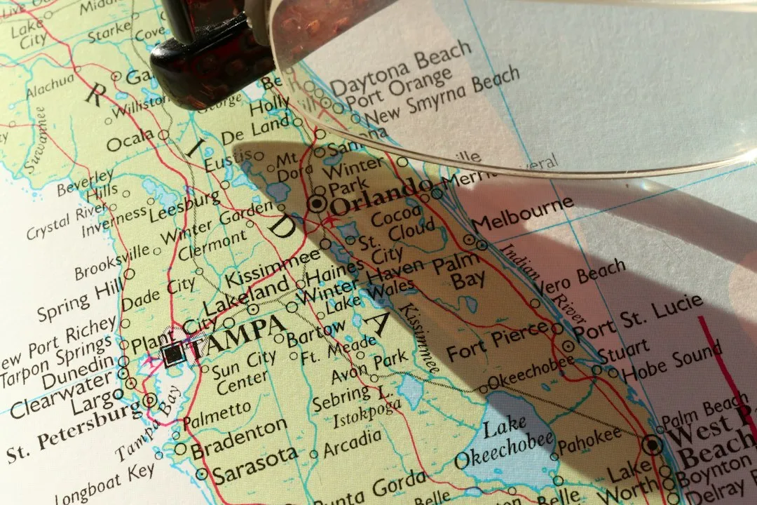
The state of Florida is a peninsula that juts out of the contiguous US and is often mistakenly assumed to be the closest point to Africa. Singer Island on the coast of Palm Beach County, in Florida, is the nearest point to Africa in that state. From Singer Island, Guerguerat in Africa is the closest point, about 4,085 miles or 6,574 kilometers away.
That gap of nearly a thousand miles between Florida and Maine isn’t trivial. Maine is closer to Africa than Miami by about 600 miles. Florida simply doesn’t reach far enough east on the globe to compete, however far south it stretches.
How Maine Compares to Its North American Neighbors

The closest part of North America to Africa is Newfoundland, Canada. In fact, it’s closer to fly from St. John’s airport in Newfoundland to Rabat, Morocco, than it is to fly from St. John’s to Denver. That comparison alone reframes how vast the American interior is relative to the Atlantic crossing.
Within the United States itself, the New England states cluster near the top of the rankings. New Hampshire’s seacoast, though small, lies near Massachusetts and Maine, making it one of the closer states to Africa. The distance from New Hampshire to the northwest coast of Africa is roughly 3,180 miles or 5,117 kilometers. Still, none of them edge out Maine’s westward reach into the Atlantic.
What This Tells Us About the Maps We Trust
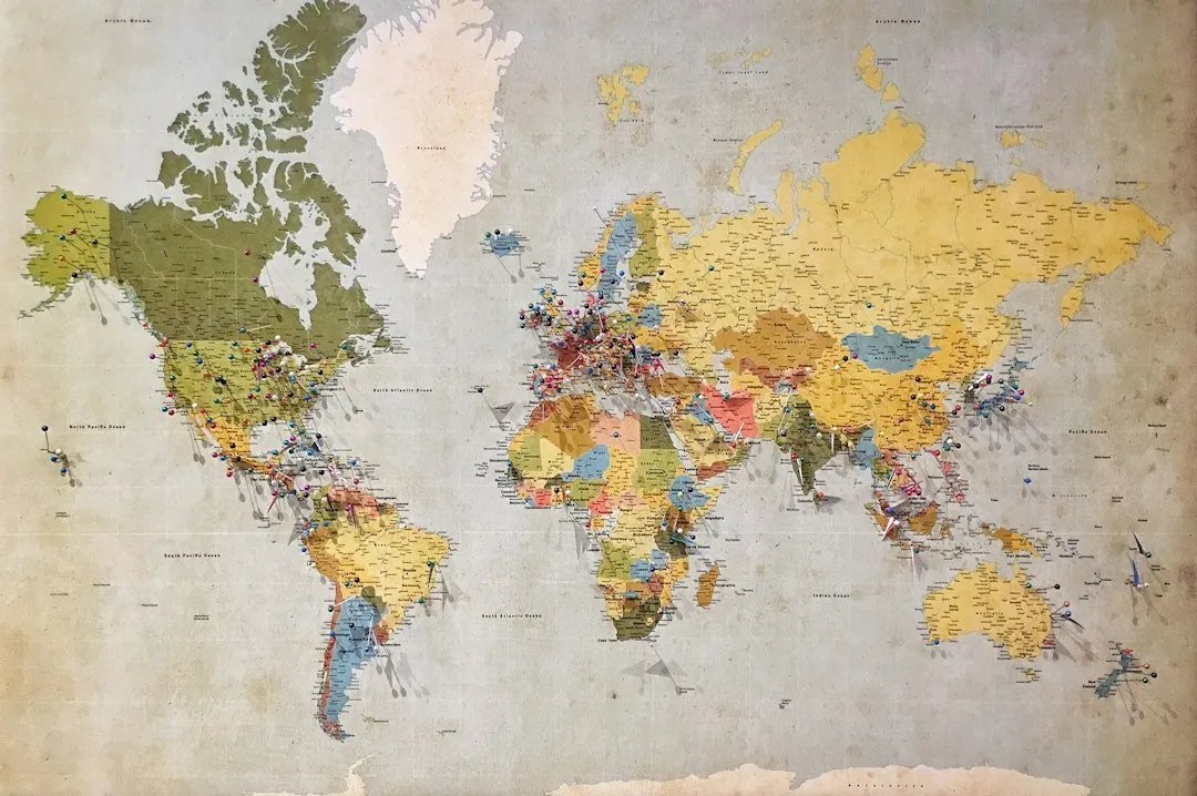
The Mercator projection, the flat map most of us grew up with, distorts distances dramatically as you move toward the poles. It makes Greenland look the size of Africa, and it makes Florida look closer to Morocco than Maine does. Neither is true. The globe has always told a different story.
The surprising geographic fact comes from the way the Atlantic curves, placing parts of New England farther east than many people realize. The straight-line distance between Maine and Africa is roughly 3,000 miles, helping explain why transatlantic shipping routes and early aviation paths often passed through the North Atlantic. Geography written on a sphere rarely matches our flat-map intuitions.
A Place Worth Visiting on Its Own Terms
Lubec and its surrounding coastline reward visitors who come with patience and genuine curiosity. The tidal patterns here are dramatic, the coastal ecology is rich, and the sense of being at a real geographic edge is palpable in a way that no monument or marker can fully manufacture. It earns its significance.
“Quoddy” means fertile and beautiful place in the language of the Passamaquoddy tribe, known as the “People of the Dawn.” That name carries a poetic truth. This is where American daylight begins, on a windswept coast that happens to be closer to Casablanca than to Chicago.
The Takeaway
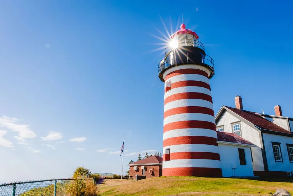
West Quoddy Head doesn’t announce itself the way major landmarks do. There’s no grand visitor complex, no souvenir sprawl. There’s a striped lighthouse, a granite marker, a wide cold sea, and the knowledge that somewhere roughly 3,154 miles east, the Atlantic meets the coast of Morocco. That’s a lot of ocean, but it’s less than most people imagine.
Geography is full of these quiet corrections, places that matter more than the map suggests. Maine’s far eastern tip is one of them. The closest spot in America to Africa turns out to be somewhere cold and tucked away, facing east with quiet determination at the very edge of the continent.
AI Disclaimer: This article was created with the assistance of AI tools and reviewed by a human editor.