
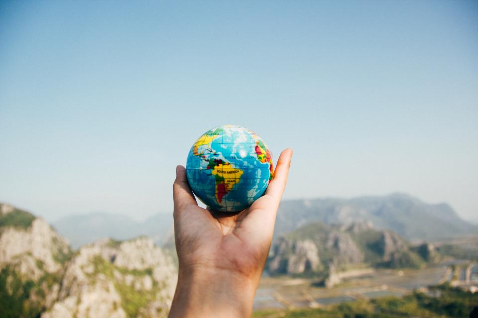

Geography has a way of quietly humbling even the most seasoned travelers. You’ve crossed time zones, navigated airports on three continents, and still confidently get a question wrong that a twelve-year-old might catch. It happens to nearly everyone.
The truth is, our mental maps of the world are full of confident mistakes. Some of them were planted in school, others crept in through popular culture, and a few simply feel so logical that questioning them never occurs to us. What follows is a gallery of ten of the most stubbornly persistent travel trivia traps, each one a tiny window into just how surprising the real world turns out to be.
The Capital of Australia Is Not Sydney
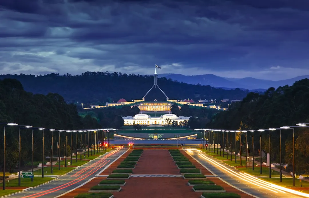
This classic geography question stumps even seasoned travelers. While the iconic Sydney Opera House or the bustling laneways of Melbourne might come to mind first, neither is Australia’s capital. The correct answer is Canberra, a city specifically designed and built for this role.
When people think of Australia, they picture the Sydney Opera House or the Sydney Olympics, so it’s no wonder the country’s largest city gets mistaken for the capital. The rivalry between Sydney and Melbourne was actually part of the reason a compromise city had to be created at all. Canberra, carved out of a purpose-built site between the two, became the official capital in 1913.
France Has More Time Zones Than Russia

Owing to the number of territories it governs beyond Europe, France has 12 (and for a period of the year 13) time zones. Metropolitan France operates on Central European Summer Time, while its dependencies range from Tahiti Time in French Polynesia to Wallis and Futuna Time in the South Pacific.
History, colonization, and politics have crowned France as the world’s time-zone champion. All of mainland France resides in one singular time zone, Central European Time. The other eleven come from dependencies like French Polynesia, which houses three time zones across an archipelago of 118 islands.
Seeing as Russia is the largest country in the world by land area, you might suppose it also contains the most time zones. It does have a lot, eleven to be precise, but it actually has fewer than France, which contains twelve. Most people never question that assumption, which is exactly why this one catches almost everyone off guard.
South Africa Has Three Capital Cities
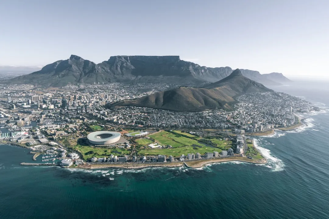
South Africa’s capital situation is genuinely a trick question: Pretoria serves as the administrative capital, Cape Town as the legislative capital, and Bloemfontein as the judicial capital. No single city holds all three functions, which is unusual on a global scale.
The three-capital arrangement is a legacy of post-unification compromise politics from the early twentieth century, when different regions held different centres of power. Ask someone on the street to name South Africa’s capital and the vast majority will say Johannesburg, which doesn’t feature on the list at all.
Greenland Is Not Anywhere Near as Large as It Looks on a Map
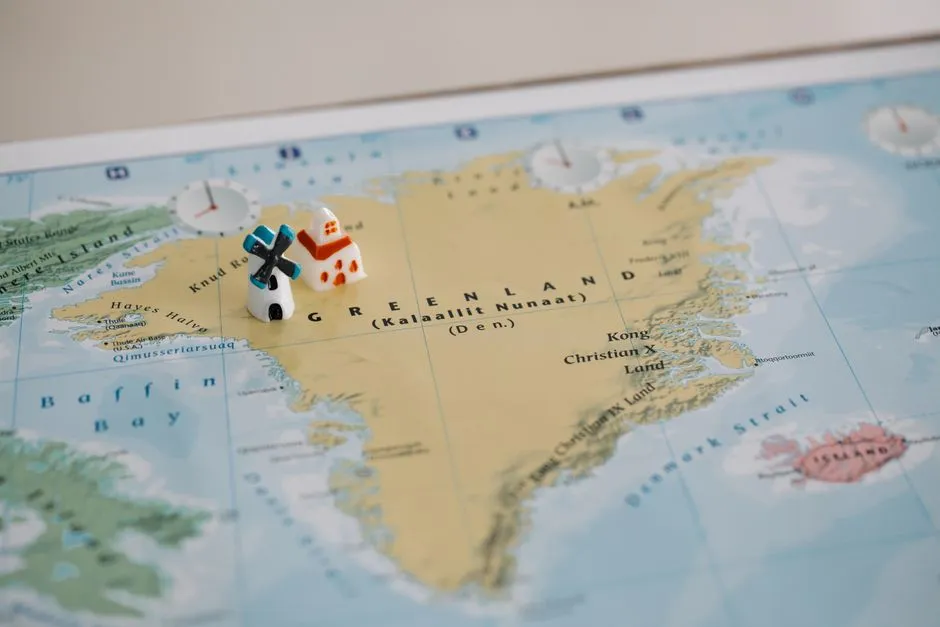
On the Mercator projection, Greenland appears to be roughly the same size as Africa. In reality, Greenland is about 2 million square kilometres while Africa is 30 million square kilometres, making Africa nearly fourteen and a half times larger.
The Mercator projection creates size misconceptions that are surprisingly persistent, with areas near the poles often appearing stretched. The practical result is that generations of travellers have walked away with a fundamentally distorted sense of scale for two of the world’s most important landmasses. Africa is, in fact, large enough to contain the continental United States, China, India, and most of Europe simultaneously.
Most of Africa Sits North of the Equator
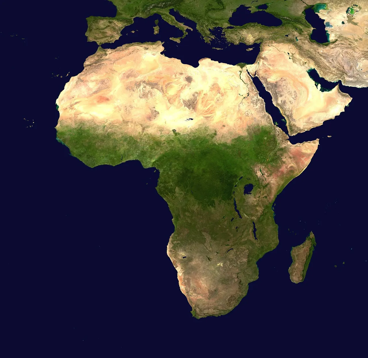
Most of Africa is north of the equator, though on many mental maps it is depicted as mostly in the southern hemisphere. North Americans in particular tend to think of Africa as located almost entirely in the southern hemisphere, similar to South America.
It is surprising to discover that two thirds of the African continent actually lies north of the equator. The association with desert heat, tropical wildlife, and lush jungles leads many people to mentally anchor the continent further south than it actually sits. Egypt, Morocco, Nigeria, and Ethiopia, among many others, all lie comfortably in the northern hemisphere.
The World’s Largest Desert Is Not in Africa
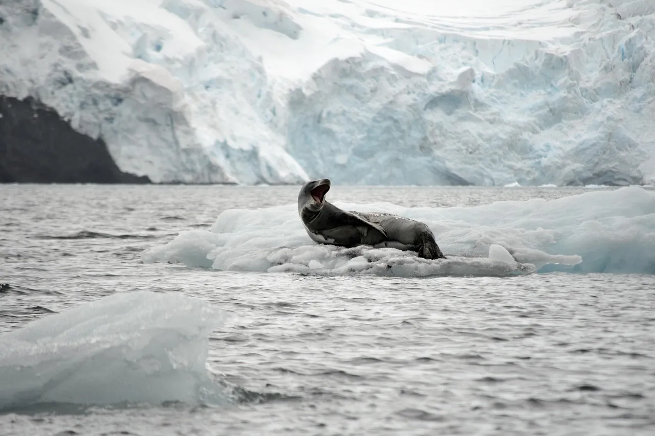
The largest desert in the world is actually the Antarctic Polar Desert, a frigid landscape defined by its extremely low precipitation. The Sahara, magnificent as it is, ranks third. The Arabian Desert in second place surprises most people too.
A desert is defined by its lack of precipitation, not by its heat or sand dunes. Antarctica receives so little annual snowfall in most of its interior that it technically qualifies. This is one of those facts that sounds wrong even after you’ve looked it up and confirmed it twice.
Virtually All of South America Is East of Florida
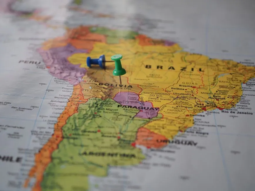
We all know that South America is south of North America. But virtually the entire South American continent is east of Florida. There are lots of possible reasons for this geographical misconception, and cartographer John Nelson suspects the misplaced Americas may be partly a result of their names.
Most of us have a rough map of the world in our minds that we use any time we think about places. These mental maps aren’t necessarily reliable. In fact, many of the maps in our heads share the same errors, some of which are quite large and surprisingly resistant to correction. The Americas feel like they should stack neatly, one above the other, like two books on a shelf. Reality doesn’t cooperate.
Iceland Is Actually Quite Green, and Mild
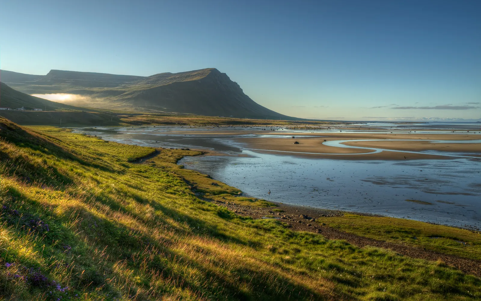
Despite its name, the small island nation in the North Atlantic is actually fairly mild. Thanks to the warm North Atlantic Current nearby, the coasts of Iceland remain ice-free all winter.
There are glaciers, certainly, but there are also geysers and lots of volcanic activity, such as the Eyjafjallajökull eruption of 2010, which threw so much ash into the air that it stopped air travel across Europe for days. Meanwhile, Greenland, which sounds friendlier, is largely ice-covered year-round. The naming swap is historically intentional, believed to have been used by early Norse settlers to manage migration incentives.
Sweden Has More Islands Than Almost Anyone Expects
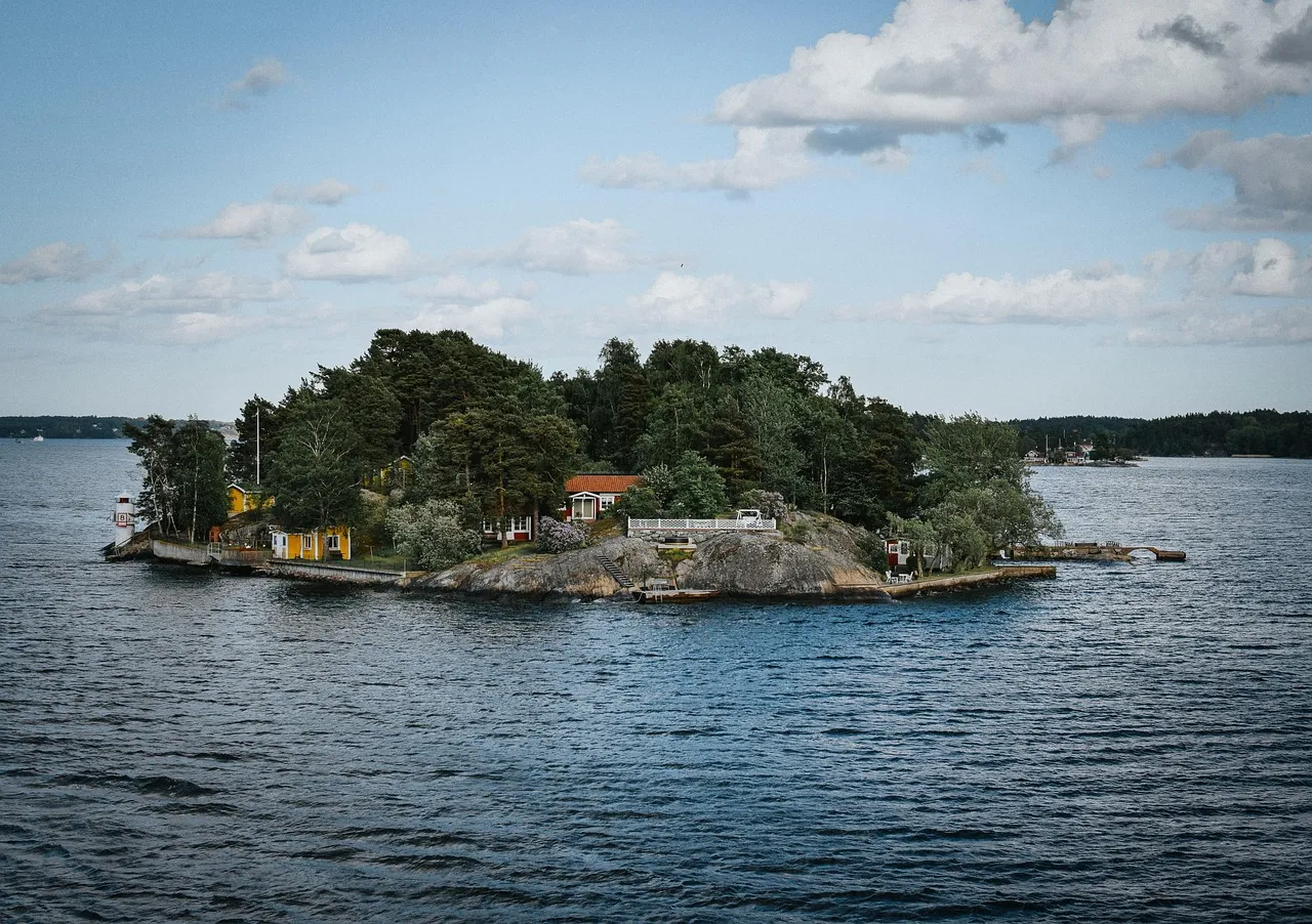
Sweden holds the title of the country with the most islands in the world, with over 267,000 islands. The vast majority are small, uninhabited, and scattered through the Baltic Sea and along Sweden’s extensive coastline. Most travellers picture Sweden as a mainland Scandinavian country and rarely associate it with island geography at this scale.
The sheer number gives Sweden a coastline complexity that rivals far more famous archipelago nations. Only a few thousand of those islands are permanently inhabited, but they form the backbone of a deeply cherished archipelago culture that has shaped Swedish life, literature, and art for centuries.
China Operates on a Single Time Zone Across a Continent-Sized Country

As the world’s third-largest country by area, China could reasonably be expected to have many time zones. It observes only one, Beijing Time, which was implemented by the Communist Party in 1949 in the name of national unity. Reducing the number of time zones from five to one means that residents of the western city Ürümqi now keep the same time as those in Shanghai, despite being more than 2,000 miles apart.
This has resulted in any number of oddities and logistical issues, including midnight sunsets and confusing business hours. Travellers arriving in China’s far west expecting the clock to match the daylight hours are in for a real surprise. In summer, the sun can still be blazing at what the clock insists is nine in the evening.
The Bigger Picture Behind These Mistakes
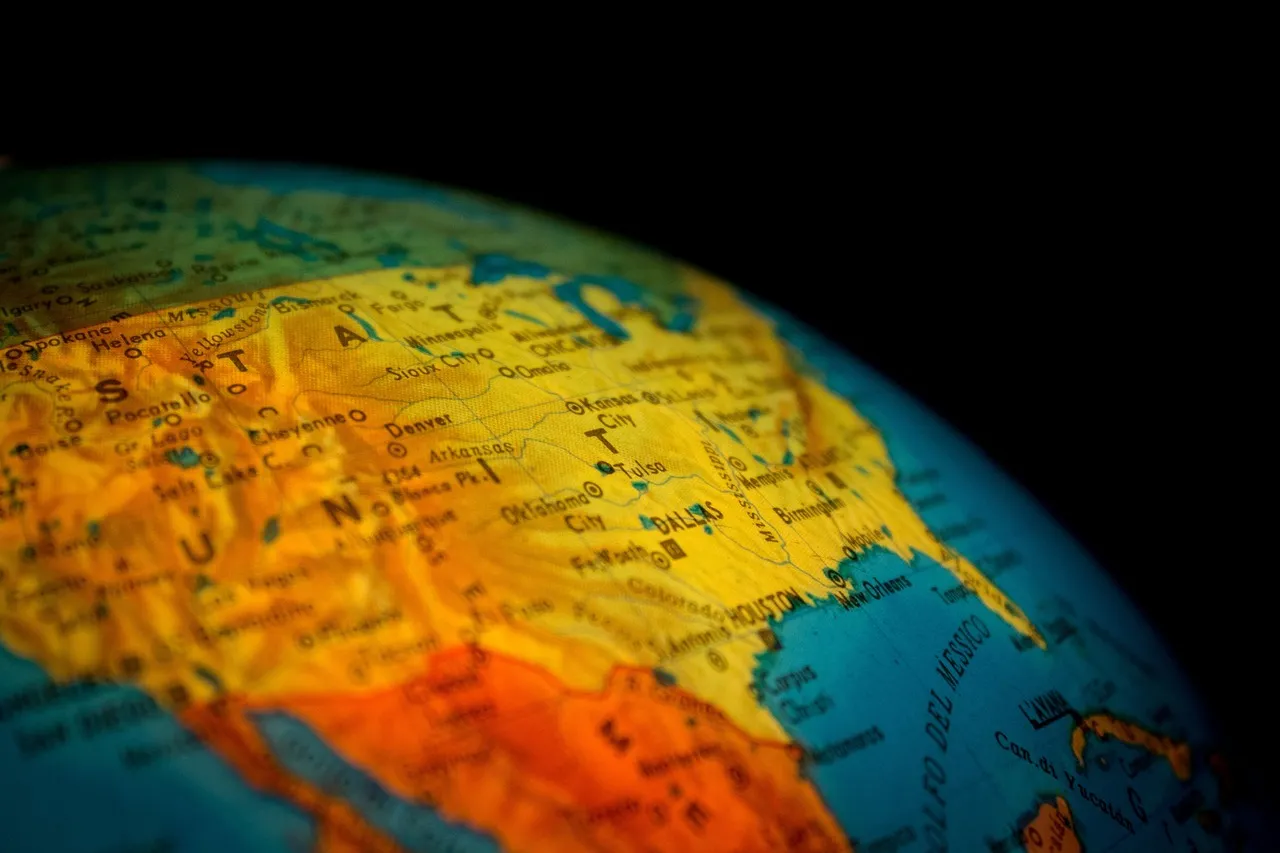
Many geographical errors persist because they’ve been repeated so often that they become accepted as truth. Extraordinary errors in regional geography can survive for generations despite being corrected in academic journals.
When you’re confronted with a specific landmark or border, you’re engaging memory and spatial reasoning in a genuine way. It’s also a way to connect the data we see on a screen with the real-world cultures and physical beauty of our planet. That’s the quiet gift of travel trivia: it doesn’t just expose gaps in knowledge. It opens doors.
The world, it turns out, doesn’t arrange itself according to the mental shorthand we’ve inherited from school maps and cultural assumptions. Getting these questions wrong isn’t embarrassing. It’s an invitation to look more carefully, travel more curiously, and hold our confident certainties just a little more lightly.
AI Disclaimer: This article was created with the assistance of AI tools and reviewed by a human editor.