
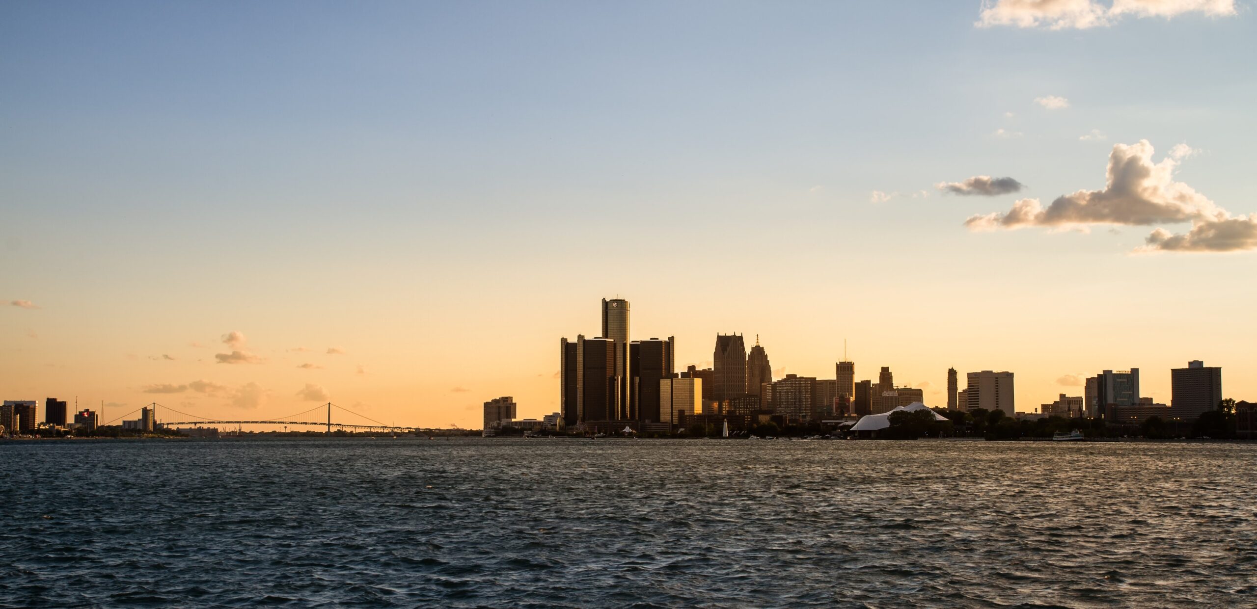

Most people carry a simple mental map of North America: Canada sits above the United States, Mexico lies below, and the compass rarely lies. That assumption holds true for nearly every mile of the border shared between the two countries. Nearly every mile – but not all of them.
Detroit, Michigan, breaks the rule in a quietly remarkable way. Stand on its riverfront, look across the water toward your Canadian neighbor, and you’re gazing south. It’s one of those geographic truths that genuinely stops people in their tracks the first time they encounter it.
The Geographic Quirk That Confounds Every Assumption
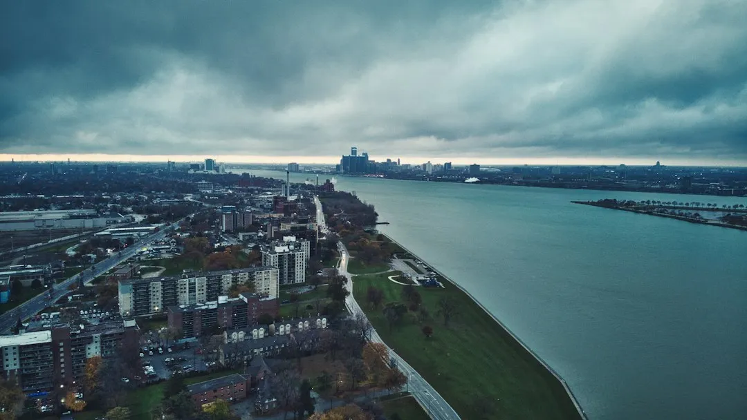
A curve in the Detroit River creates a situation where Windsor, Canada, is in fact due south of Detroit – contrary to conventional wisdom. The Detroit River is the narrow ribbon of water joining Lake St. Clair to Lake Erie. The river doesn’t run in a neat east-west line the way most people imagine the border does.
Most of the U.S.-Canada border runs east to west, which means that in nearly every border city, Canada lies to the north. Detroit is the rare exception – it’s the only U.S. city where you can stand on American soil and look south into Canada. That single bend in the river rewrites everything you think you know about which direction is “up.”
Why the River Bends the Way It Does
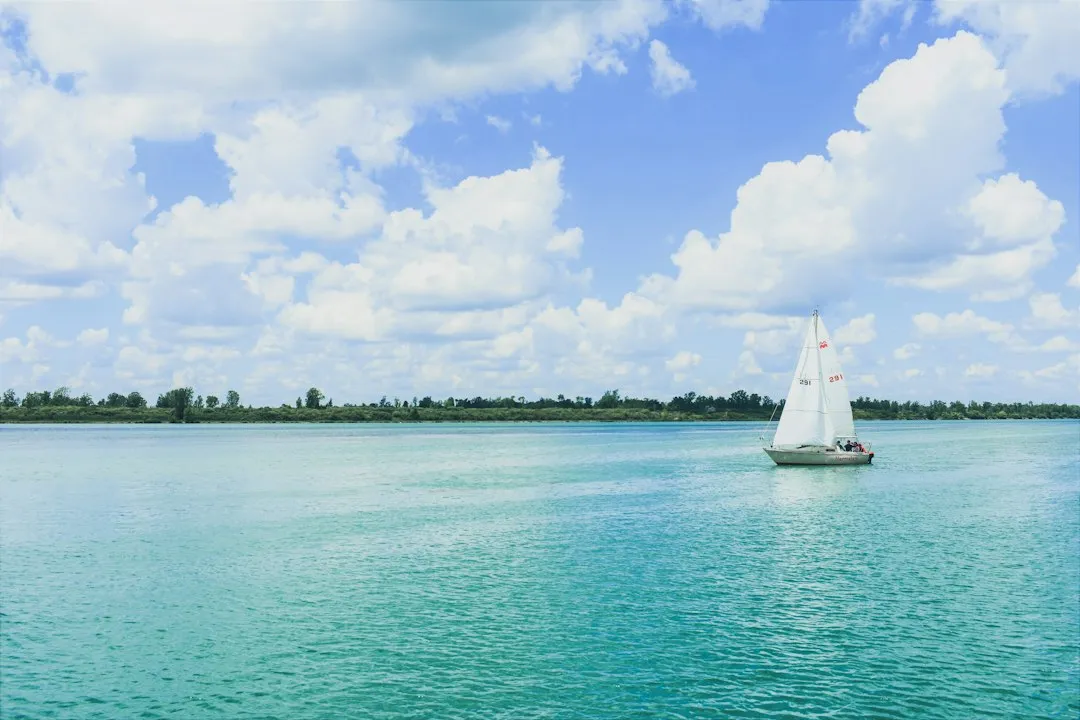
A river serves as a convenient means to mark an international border. Its curvature results in one small portion of Canada that protrudes south of land within the United States. Rivers were practical boundary markers for early treaty-makers, chosen precisely because they were visible, stable, and hard to dispute.
The Detroit River has long served as a natural dividing line, and its role in marking the U.S.-Canada border is rooted in centuries of history and international treaties. When European powers and later the emerging nations were carving up territories in North America, natural landmarks like rivers were often used to define borders because they were clear, unchanging features on the landscape. The Detroit River, flowing between what is now Windsor and Detroit, naturally lent itself to this role.
Windsor: Canada’s Southernmost Major City
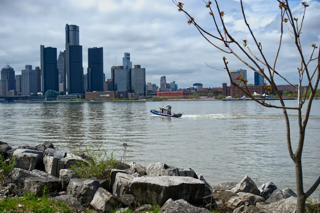
Windsor is the southernmost major city in Canada and marks the southwestern end of the Quebec City–Windsor Corridor. That distinction feels almost paradoxical when you consider that it sits directly across from a major American city. The city’s population was 229,660 at the 2021 census, making it the third-most populated city in Southwestern Ontario, after London and Kitchener.
Windsor is a major contributor to Canada’s automotive industry and is culturally diverse. Known as the “Automotive Capital of Canada,” Windsor’s industrial and manufacturing heritage is responsible for how the city has developed through the years. The shared identity of the two cities across the river is something both communities take a quiet pride in.
Detroit’s Scale and Significance at the Border
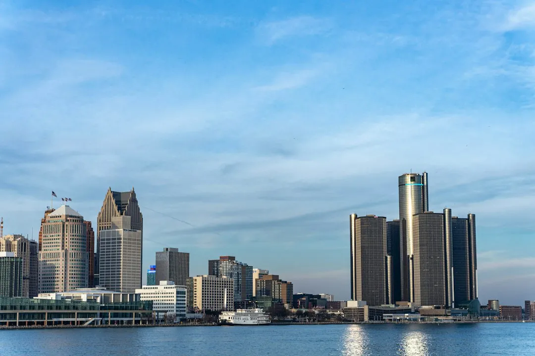
The city of Detroit, Michigan, is the only major U.S. city that sits directly on the Canada-USA border, and it’s the 14th largest metro area in the U.S. too. For a city so deeply associated with industrial American identity, that border position shapes daily life in ways that are easy to overlook from a distance.
More than 70% of Canada’s exports go to the U.S., making America its largest trade partner, and Detroit is the number one port for truck traffic on the U.S.-Canada border, according to the U.S. Department of Transportation. The geographic oddity here isn’t just a trivia curiosity – it sits at the center of one of the most economically consequential borders in the world.
The Busiest International Land Crossing in North America

The Detroit-Windsor corridor is the busiest land border crossing in North America. Roughly a quarter of all trade between the U.S. and Canada passes through the region, supporting manufacturing, automotive supply chains, health care systems, and daily commuting between the two countries. Those numbers take on a different weight when you realize they move through a corridor where the compass direction of “into Canada” is south.
Canada and the U.S. already ship about one billion dollars daily through the Windsor-Detroit corridor, according to an estimate from Invest WindsorEssex, making it the busiest international land border crossing in North America. Few geographic quirks in the world carry that kind of economic weight alongside them.
Three Ways to Cross the Detroit River
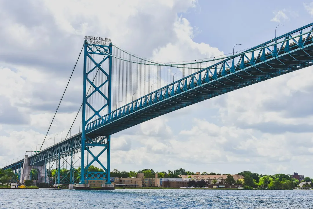
The Detroit River has three automobile traffic crossings connecting the United States and Canada: the Ambassador Bridge, the Gordie Howe International Bridge, and the Detroit-Windsor Tunnel. Each serves a distinct role in the daily movement of people and freight across this unusual southward border.
The Ambassador Bridge border crossing is the busiest commercial crossing on the Canada-United States border, carrying about one-quarter of the two countries’ trade volume. The tunnel, running beneath the river, offers a more compact crossing option for passenger vehicles and has been in use for nearly a century.
The Gordie Howe International Bridge: A 2026 Milestone
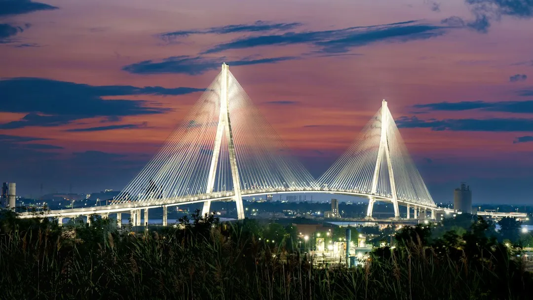
Construction of the Gordie Howe International Bridge was completed in June 2026, inaugurated on July 24, 2026, and opened to traffic on July 27, 2026. It’s a significant infrastructure moment for the corridor, arriving after years of delays and political friction on both sides of the border.
The Gordie Howe International Bridge hosts six lanes of vehicular traffic, a pedestrian and cyclist pathway, and large ports of entry for customs and border inspection operations at both ends. The Cross-Border Institute projected in a 2021 report that the new bridge would speed up truck border crossing times, saving about 850,000 hours annually, leading to billions of dollars in economic savings over the crossing’s service lifetime.
Windsor’s Deep Roots and Surprising History
The city’s access to the Canada-U.S. border made it an essential stop for refugee enslaved people gaining freedom along the Underground Railroad. Many went across the Detroit River to Windsor to escape pursuit by slave catchers. There were estimated to be 20,000 to 30,000 African-American refugees who settled in Canada, with many settling in Essex County, Ontario.
During Prohibition, Windsor was a liquor-smuggling hub. The neighborhood of Walkerville is named after the American entrepreneur Hiram Walker, who founded a whiskey distillery there in 1858 and proceeded to build a town around it. Layers of cross-border history run beneath this city’s surface in ways that a simple geography lesson can’t quite capture.
The Detroit Riverfront as a Window South
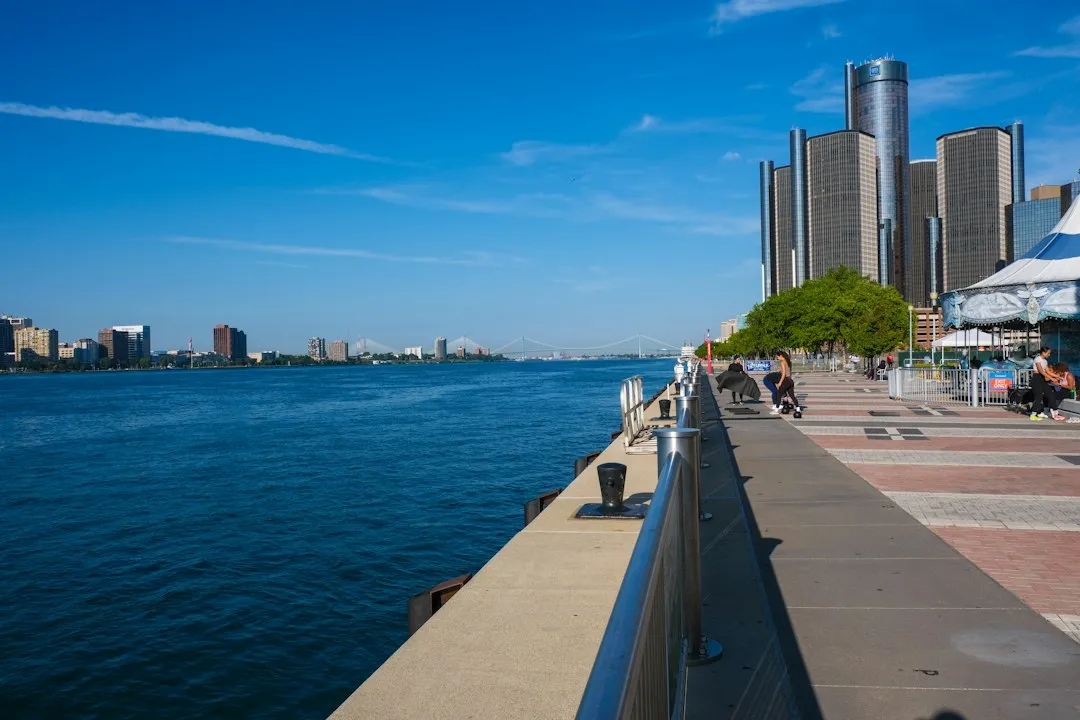
The Detroit Riverwalk is the best place to see Canada to the south while enjoying a day of exploration. Stretching more than five miles, this beautiful pathway features splash pads, playgrounds, and plenty of benches for relaxing and taking in the views. It’s a genuinely pleasant place to absorb the strangeness of looking south and seeing another country.
The Detroit-Windsor area acts as a critical commercial link straddling the Canada-United States border and has a total population of nearly six million. It is North America’s largest cross-border conurbation. From the riverfront, you can watch cargo ships, pleasure craft, and commuters all move through the same narrow waterway that has defined this place for centuries.
What This Quirk Actually Tells Us About Borders
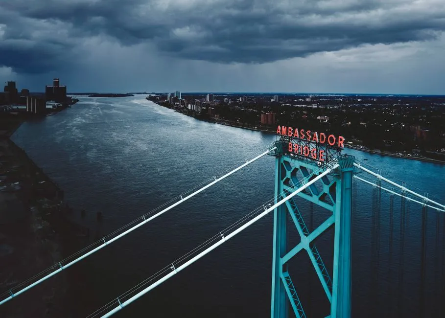
Today, this historical arrangement means that if you’re in Windsor, Ontario, and you drive north across the Detroit River, you’re crossing an international border into Detroit, Michigan. The decision to use the river as the dividing line has persisted, reinforcing how historical treaties and natural geography can create quirky, memorable borders.
The reason this confounds common conception is that one naturally thinks of Mexico as being south of the United States rather than Canada. Generally this is true, but geography doesn’t often follow straight lines. The Detroit-Windsor relationship is a quiet reminder that the world’s map is messier, and more interesting, than the mental shorthand we rely on every day.
A Destination Worth the Southward Drive

Detroit rewards the curious traveler with a rich industrial heritage, a genuinely revived riverfront, and the unusual satisfaction of watching Canada appear on the southern horizon. Windsor-Essex, Canada’s southernmost destination, offers 100 miles of waterfront, a fascinating rum-running past with Hiram Walker’s iconic Canadian Club whisky, outdoor adventure at Point Pelee National Park, Caesars Windsor, and more.
There are three border crossings to get you between Windsor and Detroit. Whichever route you choose, you’ll cross south into Canada – and that alone makes the trip worth telling people about when you get home.
The Takeaway
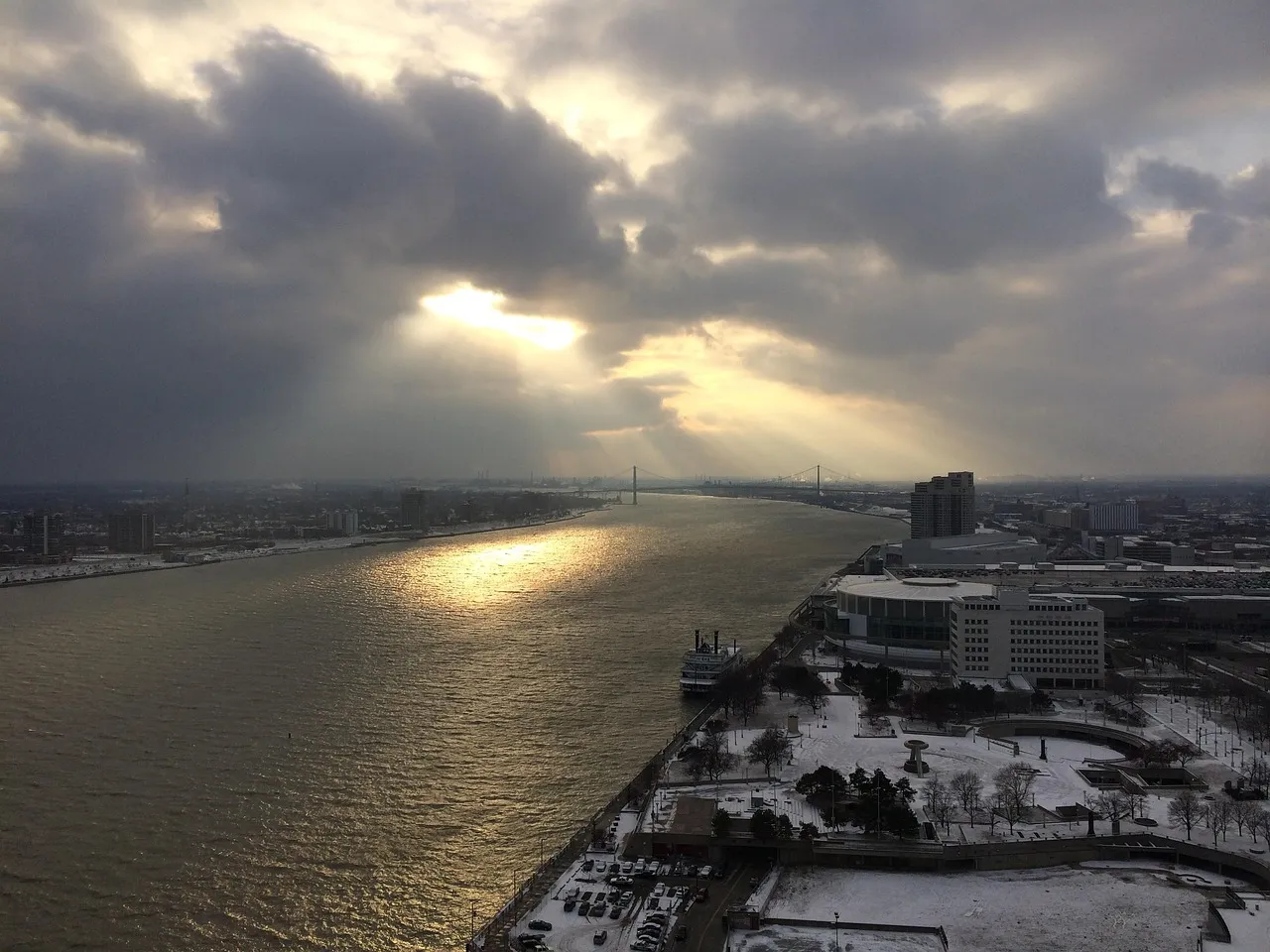
Detroit’s southward-facing border is one of those rare facts that geography textbooks mention in passing but that feels genuinely surprising when you experience it in person. It’s a place where a river’s natural curve quietly overturned the logic of an entire continent’s layout.
The corridor’s importance, from its Underground Railroad legacy to its role carrying roughly a quarter of all U.S.-Canada trade, gives this geographic oddity a weight well beyond trivia. The compass says south. The passport says Canada. Both are correct.
AI Disclaimer: This article was created with the assistance of AI tools and reviewed by a human editor.