
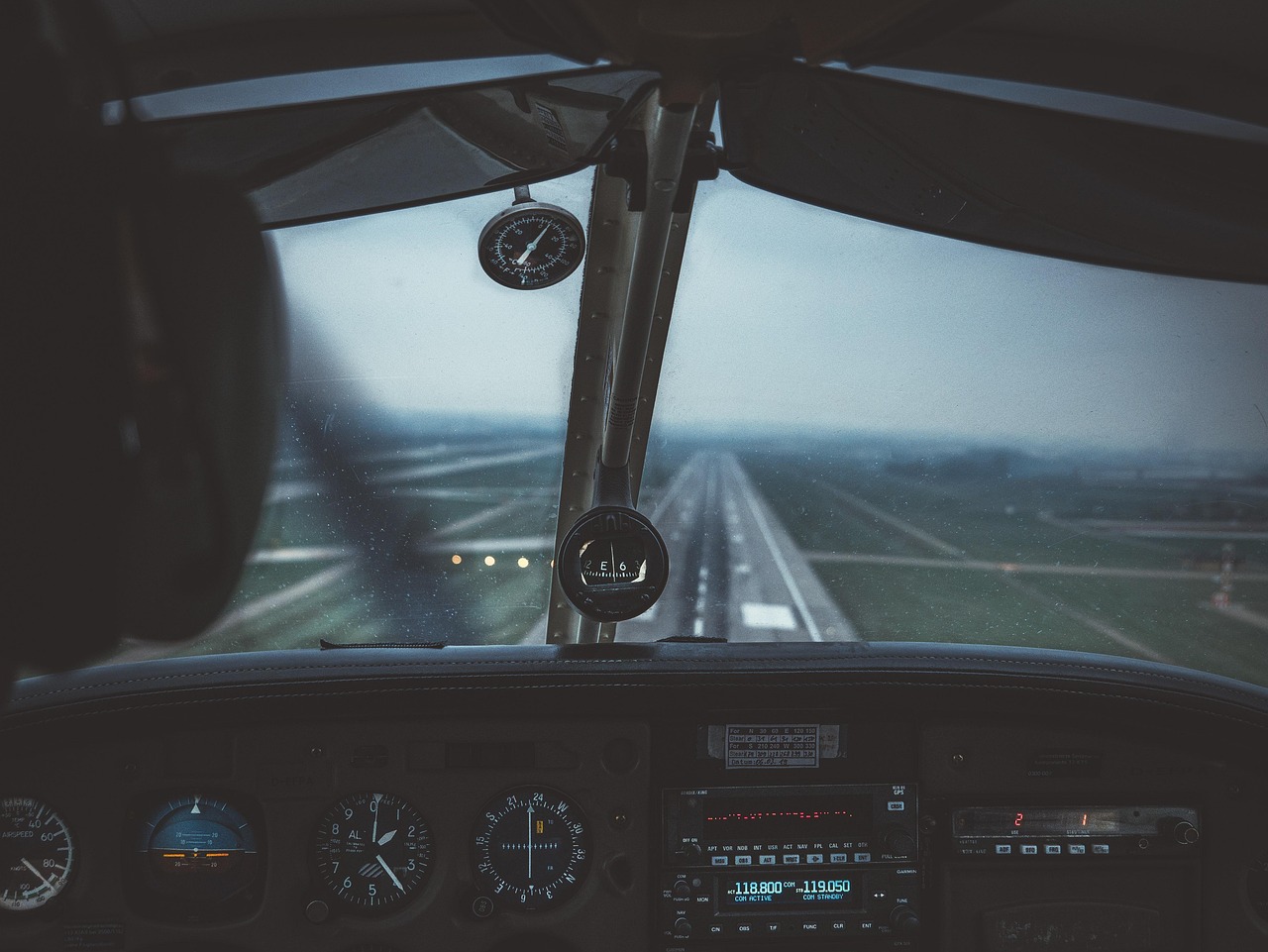

Most people assume summer is the worst time to fly. Thunderstorms, packed airports, the sheer volume of vacation traffic – it all feels obvious. Yet fall carries its own subtle mechanics, and they’re easy to miss precisely because they don’t announce themselves with dramatic headlines.
The seasonal shift from summer to autumn reshapes the atmosphere in ways that ripple directly into departure boards at airports across the country. Understanding what actually drives those delays, and why they cluster the way they do, can genuinely change how you plan a trip.
Fall’s Deceptively Calm Reputation
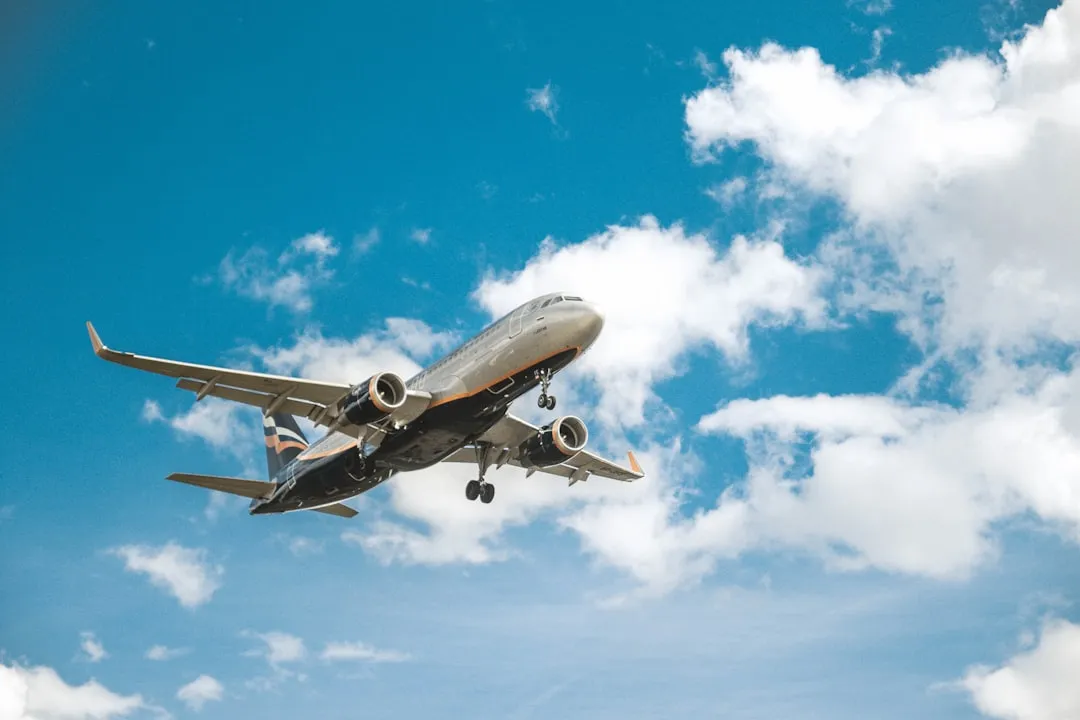
On the surface, fall looks like a great time to fly. September and October historically record some of the highest percentages of on-time flight arrivals among all calendar months. That statistical edge is real, but it comes with fine print that most travelers never read. Beneath that generally good performance, specific weather systems are already setting up across the continent – and they tend to mature quietly before anyone pays them much attention.
Flight disruption follows a predictable, seasonal pattern: it’s highest in summer and winter, and lowest in spring and autumn. Fall sits in a relatively favorable window, yet the tail end of the season, particularly November, can pivot hard in the other direction. Cancellation percentages climb again in November, reaching levels comparable to July.
The Jet Stream Begins Its Seasonal Descent
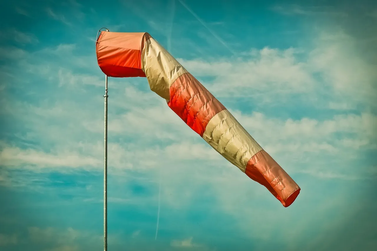
The jet stream refers to winds in the upper levels of the atmosphere that travel from west to east, and they form when warm air masses from the south collide with cold air masses from the north. As autumn progresses, that collision zone shifts southward and intensifies, dragging the jet stream with it. The result is a ribbon of fast-moving air sitting directly over the most trafficked flight corridors in North America and the North Atlantic.
The jet stream is characterized not only by great speeds but also by strong transverse horizontal and vertical gradients of speed. Those gradients are what complicate flight planning most severely. Rapidly moving weather systems make forecasting the location and strength of jet streams less accurate, and this can lead to delayed departures as flight plans are optimized for wind patterns that have since changed.
Why Westbound Flights Take the Hardest Hit
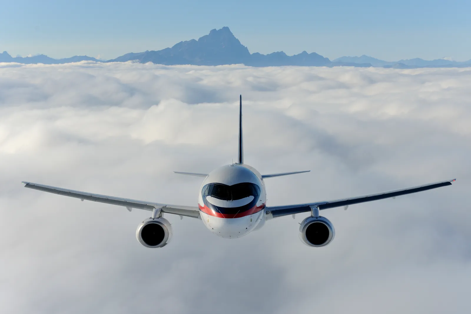
The delay of westbound flights is more significant in the positive phases of large-scale climate patterns, and the increase in travel time for westbound routes is greater than the reduction in travel time for eastbound routes. This is not intuitive. You’d expect gains on eastbound legs to offset losses going the other direction, but the math doesn’t work that way. The slowest part of the journey, which takes longer, contributes more to the average flight time.
Jet streams are fast-flowing, narrow bands of zonal wind that are crucial for aviation because they can affect flight times by providing headwinds or tailwinds at cruising altitudes. In fall, those headwinds become a persistent factor for flights crossing the continent from east to west, adding fuel burn and sometimes forcing route adjustments that cause cascading downstream delays. The effect is quiet, incremental, and cumulative across entire networks.
Atmospheric Rivers and the West Coast Bottleneck

Jet streams are essential in forming and moving atmospheric rivers, which are narrow and concentrated bands of moisture in the Earth’s atmosphere. As the guiding currents of these rivers, jet streams determine their strength, duration, and pathways, directly affecting precipitation distribution and extreme weather events. When an atmospheric river locks onto the West Coast in October or November, it doesn’t merely bring rain. It can effectively ground operations across multiple major hubs simultaneously.
In November 2024, a powerful storm system was the first of two systems to impact the U.S. West Coast during a single three-day period, and the storm was associated with an atmospheric river that dropped large amounts of rain across Oregon and California. Events like this are not anomalies. They are a recurring feature of fall atmospheric patterns along the Pacific Coast, and they regularly stack delays from San Francisco to Seattle within the same 24-hour window.
Fog: The Delay Trigger That Nobody Sees Coming
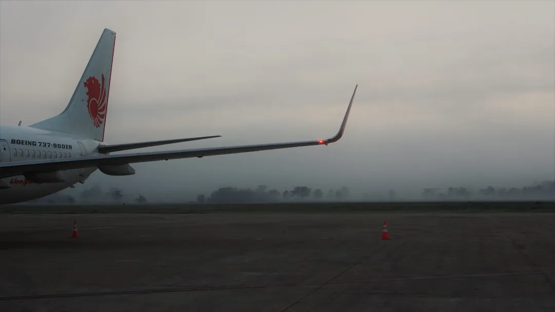
Fog rarely makes the weather highlights on the evening news. It doesn’t carry the visual drama of a lightning strike or a nor’easter. Yet few weather phenomena are more effective at grinding airport operations to a halt. Low clouds and fog can trigger major delays, and fall is precisely the season when radiation fog and advection fog become more frequent as overnight temperatures drop while daytime moisture lingers.
Storms and associated weather can create unfavorable conditions at airports, leading to flight cancellations and delays. Visibility issues due to rain or fog can hinder takeoff, while strong wind shear gradients can alter the lift an airplane experiences. In fog, airports that normally run three or four arrival streams may be reduced to a single instrument approach path. The compression that follows touches almost every connecting flight in the system.
The September Probability Spike
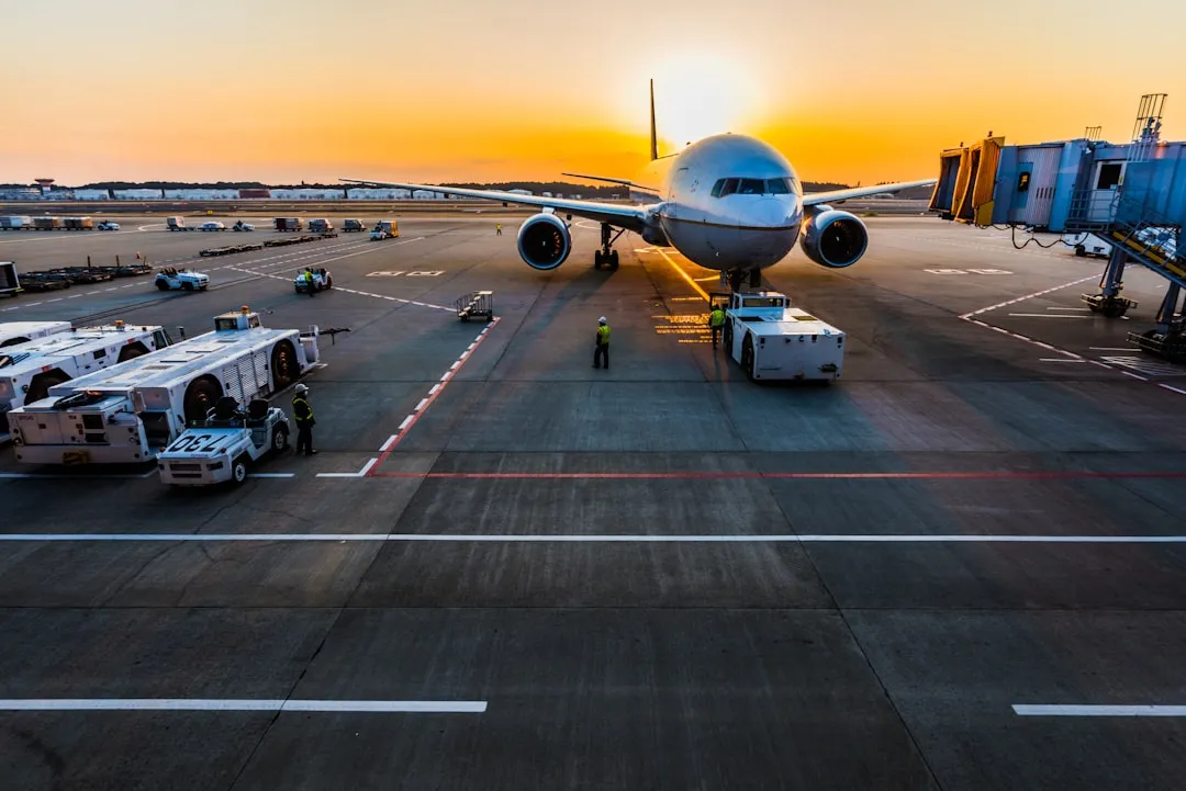
Here is a detail that consistently surprises frequent flyers. Among all calendar months, September records the highest probability of flight delays when measured as the ratio of delayed flights to total scheduled flights. This stands in apparent contrast to September’s on-time arrival statistics, which look healthy on the surface. The explanation lies in the difference between arrival delay and overall delay probability, two metrics that measure different things.
September sits at the inflection point where summer’s operational congestion hasn’t fully faded, yet early fall weather systems are already beginning to develop. Airlines are still running dense summer schedules into the first weeks of the month, and any weather disruption – even a modest one – finds a system with little slack to absorb it. Delays often cause ripple effects that affect flights throughout the day.
How the Numbers Stack Up Nationally
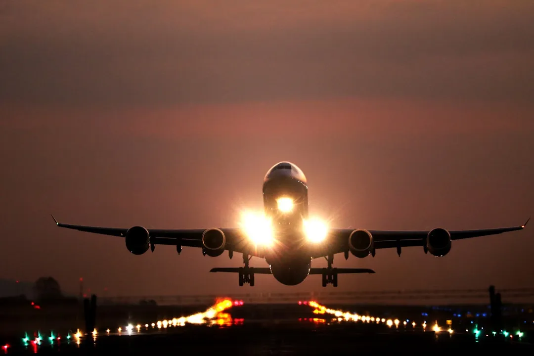
Nearly one in four flights across the U.S. runs late or is canceled, according to data from July 2024 to June 2025. That is a broad annual figure, but weather’s contribution to it becomes sharper in specific seasonal windows. According to the U.S. Department of Transportation, about 29% of all arrival delays from August 2024 through July 2025 were due to weather, amounting to over 423,000 weather-delayed arrivals totaling more than 32 million minutes.
Airlines for America estimated delays cost U.S. airlines an average of $100.76 per minute in 2024. Multiply that against tens of thousands of delayed minutes on a single foggy October morning and the scale of the financial impact becomes striking. The cost is spread invisibly across ticket prices, fuel surcharges, and airline operational reserves – not always visible to the passenger holding the boarding pass.
Mid-Latitude Storms and a Changing Climate Signal
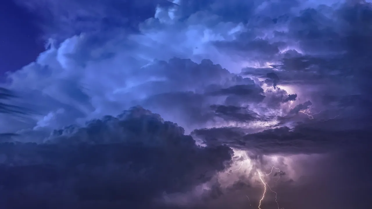
The atmospheric mechanisms driving fall delays are not entirely static. Interannual to decadal fluctuations, such as those affecting the North Atlantic jet and storm-track regimes, can substantially alter the frequency and intensity of extratropical atmospheric patterns. Research published in 2025 specifically examined how anthropogenic climate change has already increased the severity of mid-latitude storms and affected airport operations.
In some cases, the contribution of internal climate variability has been shown to be of comparable magnitude to forced climate signals, complicating the attribution of observed changes. What this means practically is that the fall weather window that historically felt reliable is now harder to characterize with the same confidence. The envelope of what a “normal” October storm can do has widened, and planners – both at airlines and among individual travelers – are still calibrating to that reality.
The Airports Most Exposed to Fall Weather Risk
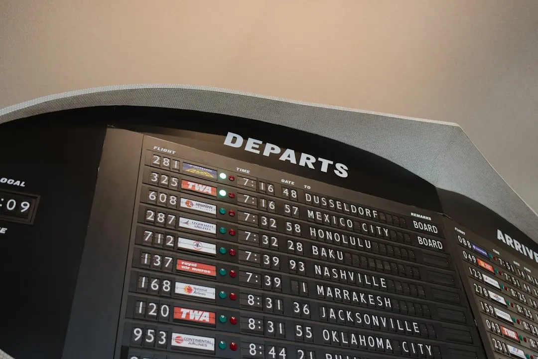
According to the U.S. Department of Transportation, about 26% of all arrival delays from September 2023 through August 2024 were due to weather, amounting to over 371,000 weather-delayed arrivals totaling more than 28 million minutes. That burden is not evenly distributed. Some airports carry a disproportionate share of weather-related disruption through fall and into early winter.
New York’s JFK airport averages roughly 100,000 weather-related flight delays per year, and its high percentage of delay time attributable to weather places it among the most affected major U.S. hubs. Along the West Coast, all airports in the San Francisco and Los Angeles areas are forecast to see rain during atmospheric river events, potentially sparking delays and cancellations across the region. Travelers routing through these hubs in October and November face compounding probabilities.
What the Cascading Effect Actually Looks Like
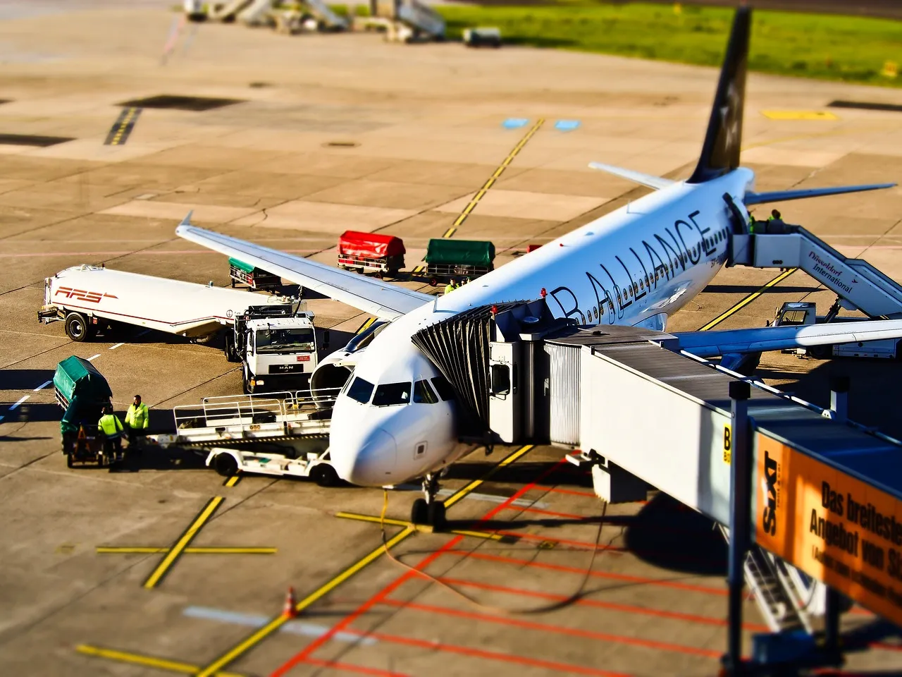
A single weather event rarely stays contained to one airport or one departure. The airline network is built on the assumption of connectivity, and that interdependence is both its strength and its vulnerability. Most delays are linked to operational challenges including gates not being ready, taxiway congestion, runway queues, and aircraft holding patterns, with crew availability, equipment issues, and weather restrictions also playing major roles.
When fall fog grounds arrivals at Chicago O’Hare for two hours on a Tuesday morning, the aircraft that were supposed to continue east to Boston or south to Atlanta sit waiting. Those aircraft then carry their lateness forward through the rest of the day. Staff shortages combined with foul weather can compound each other in the complex, interconnected web that is the air travel system. Fall rarely delivers a single clean disruption. It delivers a sequence.
The Quiet Advantage of Knowing the Pattern
None of this means fall travel is something to avoid. The statistics are clear that, in aggregate, September and October still outperform the summer peak and the winter crunch. The point is simply that the fall atmosphere is more active than its gentle reputation suggests, and that activity follows a logic worth understanding. Choosing morning departures, building in connection buffers at fog-prone airports, and avoiding late October transatlantic westbound itineraries on tight schedules are all small adjustments rooted directly in the meteorology.
The weather pattern that quietly shifts delays every fall doesn’t announce itself. It builds gradually, shaped by the jet stream’s southward migration, the first atmospheric rivers of the wet season, and the cooling nights that lay fog across valley airports by dawn. The traveler who knows to look for it has already done most of the work.
AI Disclaimer: This article was created with the assistance of AI tools and reviewed by a human editor.