
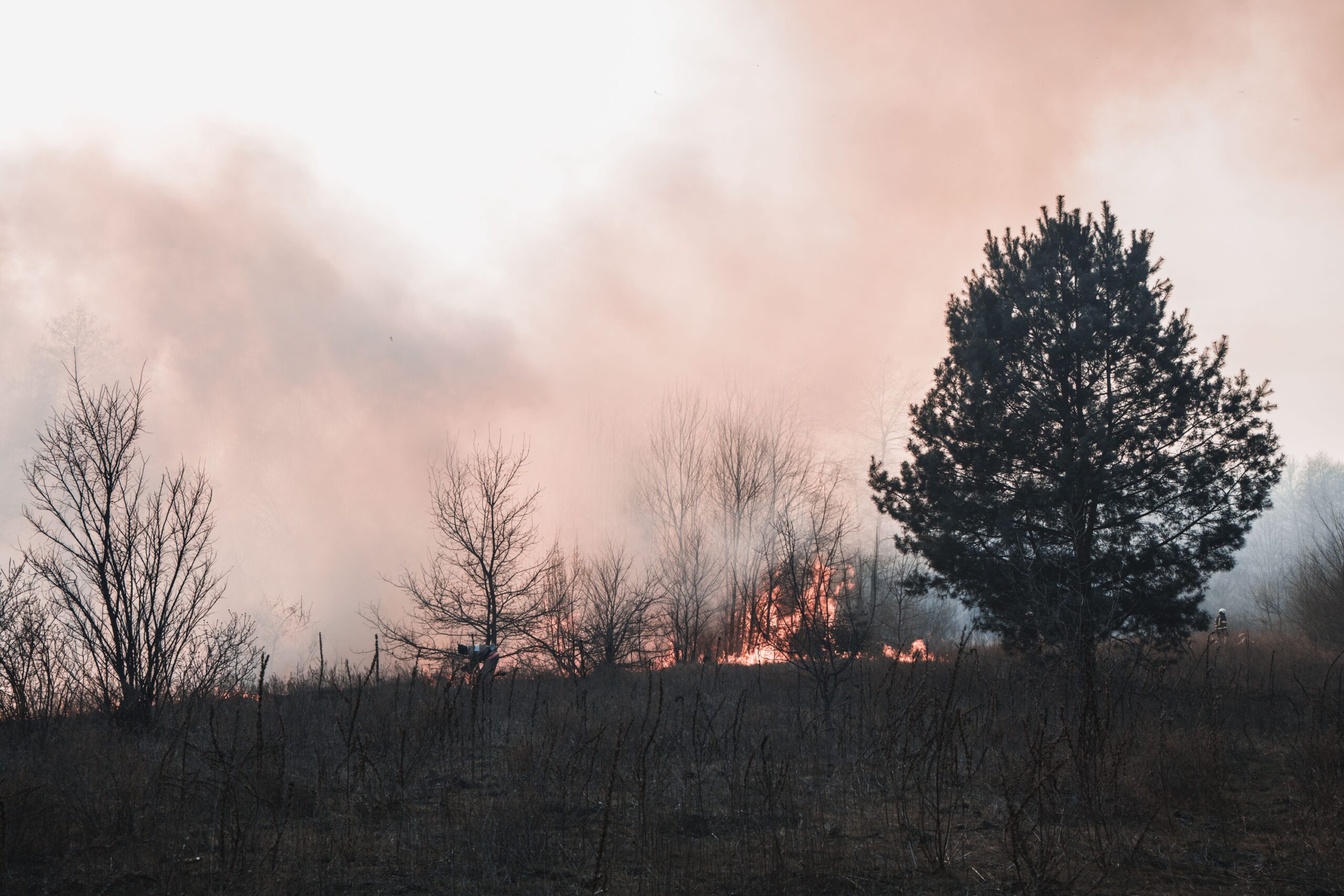

Understand That Fire Season No Longer Has a Fixed Calendar
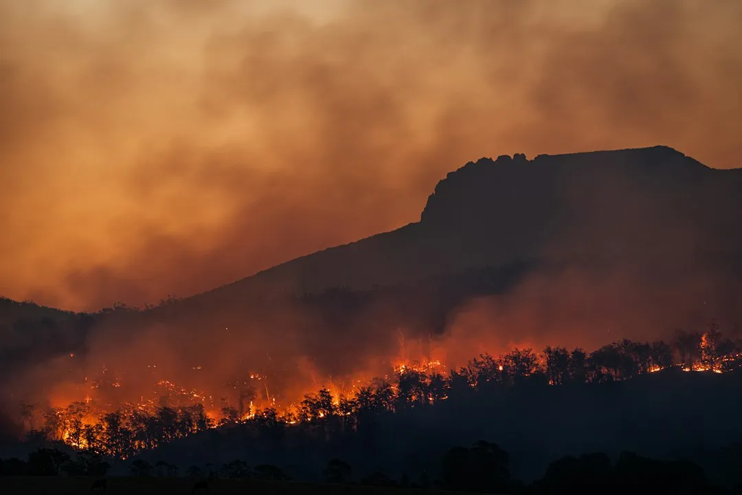
The first thing any western road tripper should accept is that there’s no longer a “safe” window to travel through fire country. While most wildfires occur from May to November, with peak activity typically in August, fires outside of the traditional season are becoming more common due to climate change and shifting weather patterns.
The length and severity of recent fire seasons have increased due to climate shifts, with warmer temperatures causing snow to melt earlier in spring and delaying fall precipitation, which dries out vegetation and soils. A February road trip through Oklahoma or Kansas is no longer automatically low-risk, as 2026 demonstrated.
According to research by World Weather Attribution, global wildfire burn areas in the first half of 2026 were already more than 50 percent above recent averages and nearly double the same period in 2024. For road trippers, this means the question is not whether fire risk exists on a given route, but how prepared you are to respond to it.
Learn the Three-Level Evacuation System Before You Leave Home
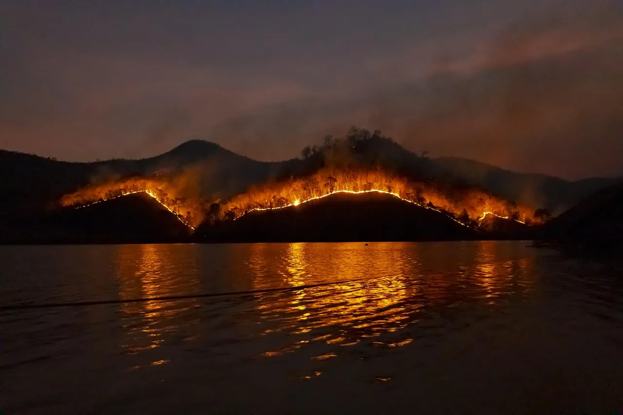
Across most of the western United States, local emergency agencies use a standardized three-tier evacuation system. During wildfire season, it is critical to understand the different evacuation levels, because knowing how to prepare and what to do when each level is announced can help you make the correct decisions. There are three levels of evacuation, based on the degree of imminent danger in the area.
Level 1, called “Be Ready,” signals a potential evacuation, meaning residents and visitors should monitor emergency services websites and local media outlets for information. Level 2, called “Be Set,” means you must prepare to leave at a moment’s notice.
Level 3, “Go Now,” is the last notice you will receive. It signals an immediate threat to life, it is a lawful order to leave now, and the area is lawfully closed to public access. As a traveler, you may not receive a Level 1 or 2 alert at all. That’s why understanding what each level means before your trip, not during it, matters so much.
Know That Road Closures Can Happen With Almost No Warning
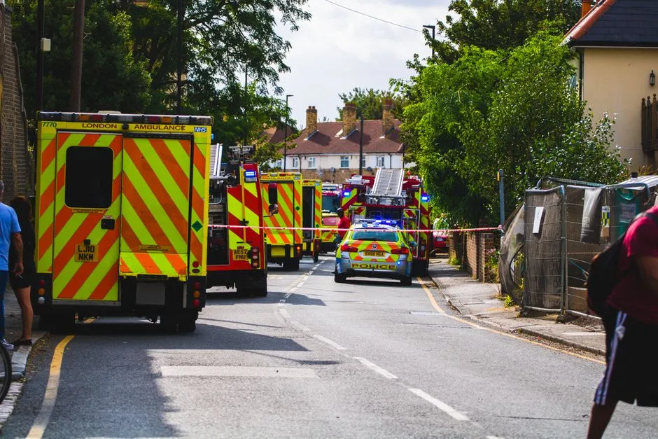
One of the most disorienting experiences for road trippers is discovering that an evacuation has closed the only road out of an area. This is not rare. In June 2025, Oregon’s Rowena Fire closed Interstate 84, forced evacuations for The Dalles, and placed at least 2,000 residential structures under evacuation notices, while also shutting down a portion of Washington State Route 14.
In California in 2024, the Post Fire began near Gorman and burned parallel to Interstate 5, causing the evacuation of roughly 1,200 people in nearby recreation areas. Highways that carry road trippers through scenic mountain corridors are often the same roads that become clogged or closed when fire approaches.
The key lesson here is simple: always identify at least two ways out of any area you plan to camp or stay overnight in. A small town may only have one or two major outbound roads, and Temporary Fire Refuge Areas can increase the likelihood of survival if those roads become impassable.
Download the Watch Duty App Before You Set Off
One of the most practical tools available to western travelers right now is the Watch Duty app, a free, real-time fire tracking application used extensively by emergency managers and the public alike. The app provides live fire perimeter maps, evacuation zone statuses, and official incident updates, often faster than local news can broadcast them.
A national evacuation-zone platform used by CAL FIRE and many county emergency agencies, it allows you to search any address to see your zone and its current status, whether that’s Normal, Warning, or Order. For a road tripper, this means you can check the status of your next overnight stop before you’re already driving toward it.
Pair Watch Duty with the National Weather Service alerts. Official Red Flag Warnings, Fire Warnings, and emergency alerts from the National Weather Service are essential reference points, though terminology varies by area, and you should always follow your local authority’s exact wording. These two tools together give you a far clearer picture of road conditions than any general navigation app.
Sign Up for Local Emergency Alerts as Soon as You Arrive

Most counties across the western United States operate their own emergency notification systems, and many allow temporary visitors to register for alerts. This is not widely advertised, but it’s often possible. In the event of a wildfire, law enforcement and fire agencies issue evacuation warnings or orders for impacted areas called zones, and authorities use zone names in emergency alerts, media releases, and on social media to notify people which areas are affected.
If you don’t know your zone name, those alerts won’t mean much. In order to understand whether your area is under an evacuation warning or order, you need to know and remember your zone name. When you check into a campground, hotel, or rental, simply ask the host or front desk what zone you’re in. It takes thirty seconds.
Evacuation guidelines are regional, so for information specific to your immediate area, always check with your local emergency management agency. A quick internet search for your county’s emergency management office will show you exactly how to opt into their alert system, often by phone number or a simple web form.
Recognize That Wildfire Smoke Is a Travel Hazard in Itself
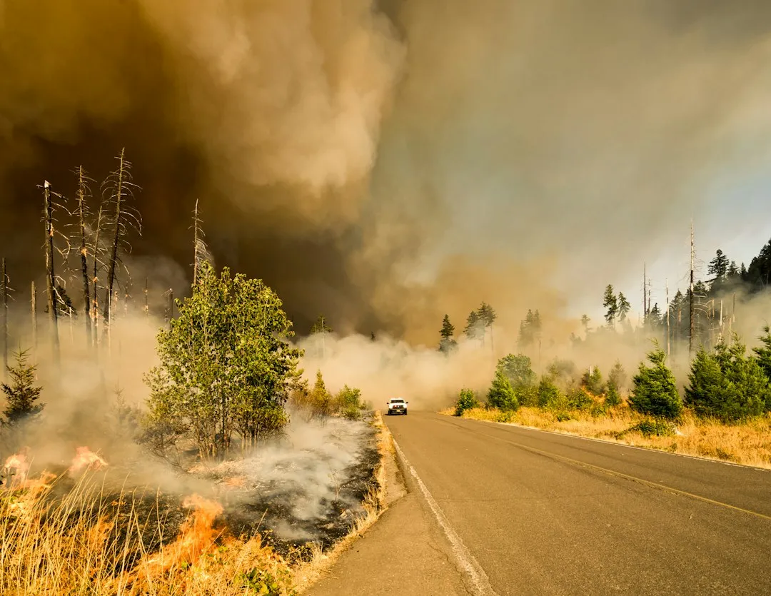
Even if fire never gets close to your route, smoke can make driving dangerous and unhealthy across enormous distances. In July 2026, the Elephant Fire in the Lassen and Plumas area of California prompted evacuation warnings northeast of Loyalton and impacted air quality in the Reno-Sparks metropolitan area, hundreds of miles from the fire’s edge.
In Washington in 2026, several wildfires burning across the state led to evacuations and smoky conditions throughout the state simultaneously. Smoke at those concentrations makes driving disorienting and can trigger serious respiratory distress, especially for children, older adults, or anyone with asthma.
Carrying a set of N95 or KN95 masks in your vehicle is now a reasonable precaution for any western road trip. Check the AirNow.gov air quality index for your route the night before each driving day, the same way you’d check for rain.
Understand That Even Popular Destinations Can Be Suddenly Closed
Road trippers sometimes assume that major parks or well-trafficked corridors are somehow insulated from fire closures. They’re not. In 2025, the Dragon Bravo Fire in Arizona burned more than 145,000 acres along the Grand Canyon’s North Rim, one of the most visited landscapes in the country.
In Washington in 2026, evacuation orders were in effect for the Snoqualmie Pass area, and multiple campgrounds and trails were closed, including sections of the Pacific Crest Trail. These closures happen fast, and they affect reservations, resupply plans, and routes that travelers have prepared for months.
Before any leg of your trip, check the specific land management agency’s website for closures. The U.S. Forest Service, National Park Service, and Bureau of Land Management all maintain updated closure maps. A five-minute check the morning of your drive can prevent a long, frustrating detour in a smoke-filled canyon with no cell signal.
If You’re Caught on the Road, Know What to Do
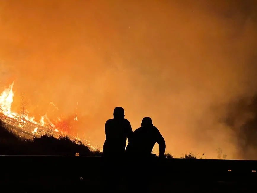
The worst scenario is being on a highway when a fire moves toward or across it. This is not unimaginable. Wildfires move fast, and they can reduce communities to ash in a matter of hours. If you find yourself on a road that is becoming compromised, stopping safely and sheltering in your vehicle may be your best option if escape is no longer possible.
If you become trapped during a wildfire evacuation, park your vehicle in an area clear of vegetation, close all vehicle windows and vents, cover yourself with a wool blanket or jacket, lie on the vehicle floor, and use your cell phone to advise officials by calling 911.
If you are outside the vehicle, go to an area clear of vegetation or a ditch or depression on level ground if possible, lie face down and cover your body, and use your cell phone to call 911. These steps are not intuitive under stress, which is exactly why they’re worth reading before you ever need them.
Plan Flexible Bookings and Keep Your Tank Full
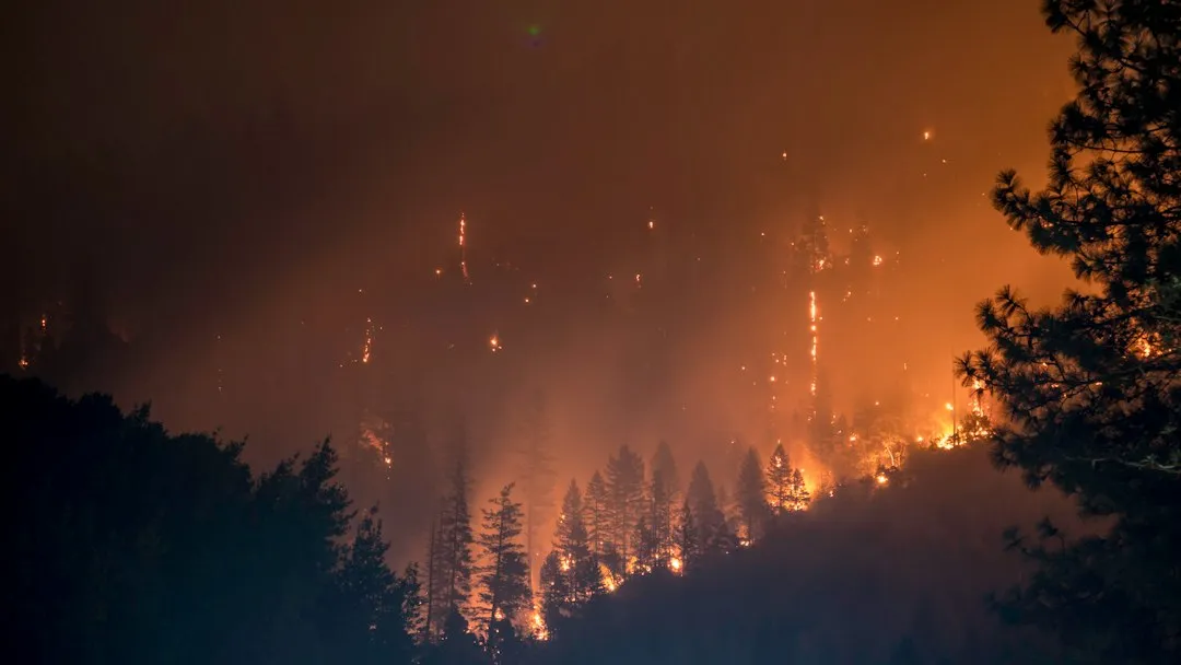
One underappreciated practical habit for western road trippers is maintaining a nearly full gas tank throughout fire country. When evacuations are ordered, gas stations in affected areas can run dry within hours as residents and visitors flood them simultaneously. In June 2026, the Cottonwood Fire forced evacuations near Beaver County, Utah, destroying more than 100 condos, 30 cabins, and ski infrastructure at Eagle Point Resort, displacing a significant number of travelers with little warning.
Flexible accommodation bookings matter for the same reason. Many travelers in fire-prone western regions now prefer refundable reservations through August and September. It costs a little more sometimes, but it gives you the freedom to reroute without financial penalty when conditions change overnight.
Wildfires are no longer just a localized environmental issue; they have the potential to trigger immediate and complex threats to mobility, public health, and community safety, and factors such as careful planning and contingency strategies can greatly enhance traveler safety. Building flexibility into your itinerary is now a basic part of responsible western travel planning.
Check Washington State’s Real-Time Travel Advisory System as a Model
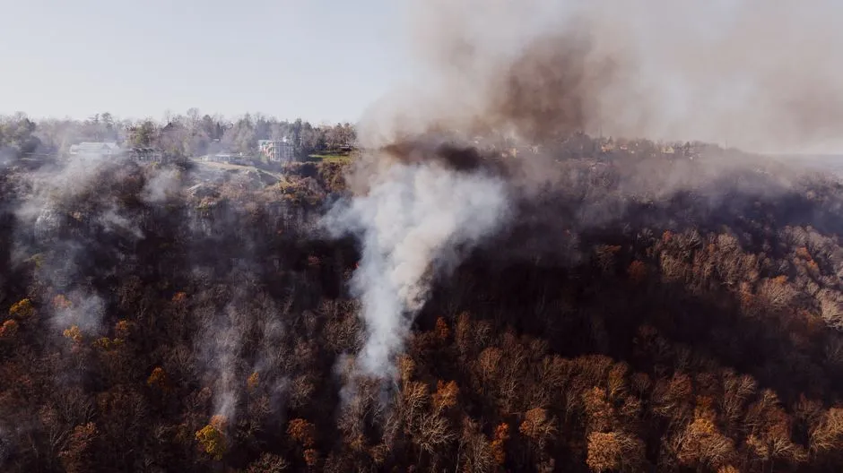
The 2026 Washington wildfire season, as an ongoing example, burned more than 425,000 acres and resulted in approximately 11,000 people being evacuated. Washington’s response to its escalating fire seasons has led to some of the most organized public communication infrastructure in the West.
The Washington state legislature appropriated 120 million dollars for firefighting in 2026, twice the previous year’s budget. Part of that investment went toward improved real-time public communication. The Washington State Tourism Office maintains a live travel advisories page, and travelers can view the status of large wildfires on the Northwest Interagency Coordination Center’s Large Fire Information Map and monitor air quality through the Washington Smoke blog.
Most western states have equivalent systems, though they vary in how clearly they’re surfaced for travelers versus residents. Before a trip through any western state, find that state’s equivalent page and bookmark it on your phone. It’s the kind of resource you’ll hope you never need and be profoundly grateful for if you do.
The Takeaway
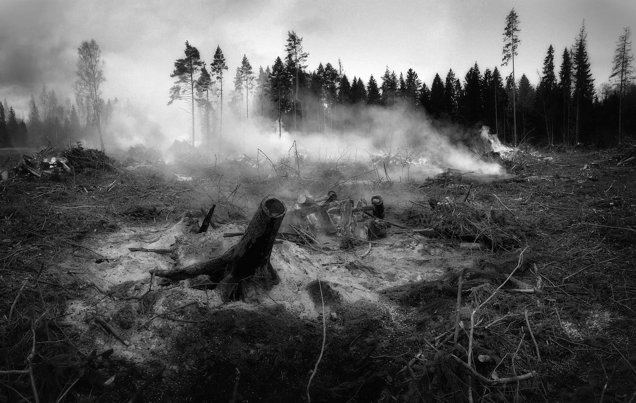
Western road trips remain among the most extraordinary travel experiences available anywhere. The landscapes are irreplaceable, the routes are genuinely inspiring, and the communities along the way are worth knowing. None of that has changed.
What has changed is the environment those roads pass through. Wildfires are becoming increasingly frequent and severe across the globe, and in the Americas, large areas from Canada through the western United States are at risk, with rising numbers of fires, widespread evacuations, and significant land disruption already on record.
The single step that matters most is preparation before departure: learn the three-tier evacuation level system, download real-time fire tracking tools, know your zone, keep your tank full, and build flexibility into your plans. Traveling responsibly through fire country doesn’t mean avoiding it. It means arriving informed, staying alert, and knowing exactly what to do if the sky turns orange before you reach the next state line.
AI Disclaimer: This article was created with the assistance of AI tools and reviewed by a human editor.