

Most people passing through coastal Georgia are headed somewhere specific. Jekyll Island, Savannah’s squares, the shops of St. Simons. The marshes in between barely register as scenery, let alone a destination. That’s a significant oversight, because what lies between those barrier islands and the mainland is one of the most productive and biologically fascinating ecosystems anywhere in the eastern United States.
These are not empty wetlands. They’re teeming, layered, ancient systems that support entire food chains, filter water, buffer coastlines from storms, and quietly store carbon while the cars speed past on the causeway.
A Scale That’s Hard to Comprehend
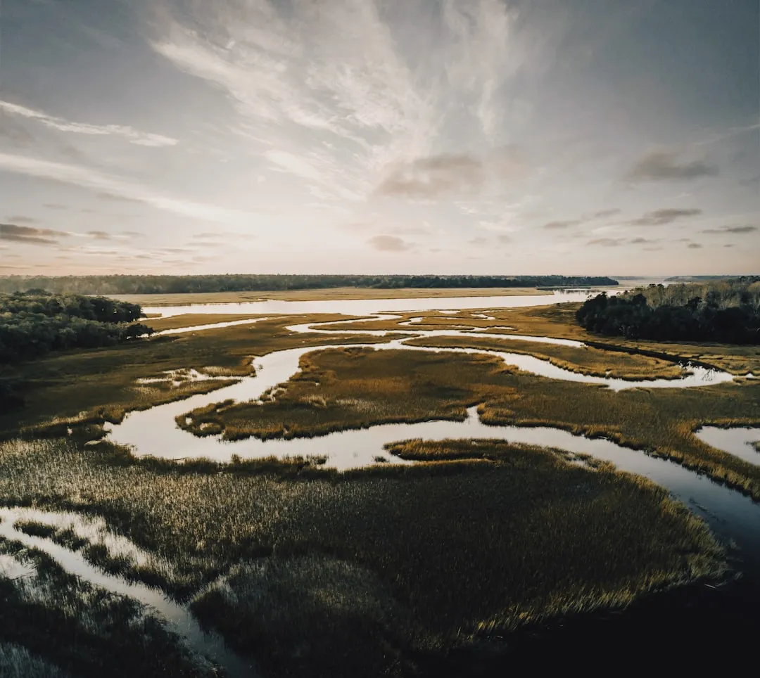
The hundred miles of Georgia’s coast holds approximately half a million acres of marshland, with each marsh ranging from four to eight miles wide. Georgia has the second largest amount of salt marshes in the United States, and the marshland on Georgia’s coast makes up an estimated one-third of all the salt marshes on the entire East Coast.
Georgia’s coastal marshlands encompass approximately 368,000 acres in a four to six mile band behind the barrier islands, and they’ve been identified as one of the most extensive and productive marshland systems in the United States. To put that in perspective, that’s a strip of living, breathing wetland ecosystem wider than many American cities are long.
A major reason for Georgia’s extensive expanses of salt marsh is that its coast experiences the highest tides along the southeastern shoreline. In general, the higher the tidal range, the greater the production potential of the marsh.
The Grass That Runs Everything
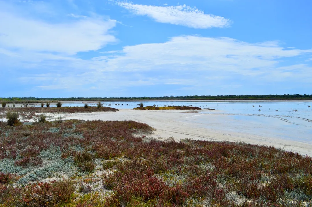
Symbolic of the salt marshes is a tall cord-like grass called Spartina alterniflora, which virtually covers the coastal marsh area. The environment in which this Spartina grass flourishes is neither all terrestrial nor all marine, but rather a combination of both.
Producing nearly twenty tons to the acre, it is four times more productive than the most carefully cultivated corn. Georgia’s salt marshes produce more food energy than any estuarine zone on the eastern Seaboard. That number is worth sitting with for a moment.
The incoming tide nourishes and feeds the grasses of the marsh, and the outgoing tide harvests its products and, through tidal energy, breaks down the grasses and feeds the resources to the sea. The tides here average around six and a half feet and can exceed ten feet during high spring tides, according to the Georgia Department of Natural Resources.
Zones Within Zones: How the Marsh Is Organized
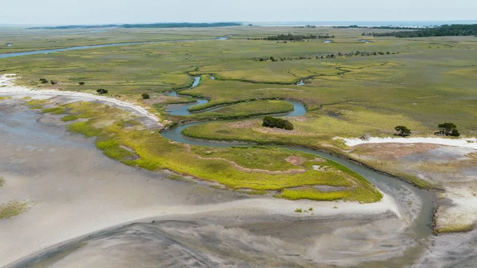
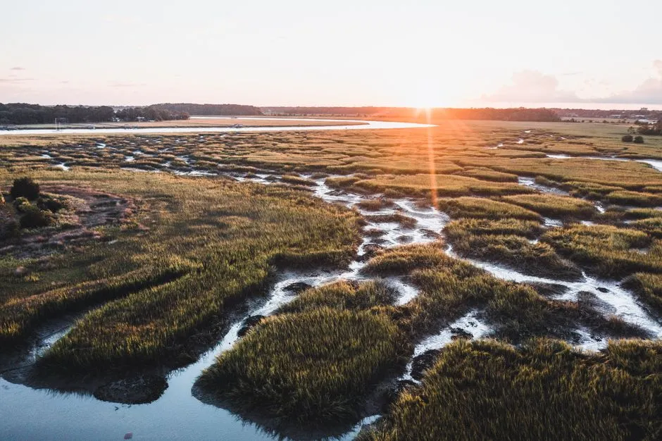
The salt marsh may appear to be a homogenous, table-flat expanse of grass. Biologists, however, usually divide the salt marsh into ecological zones based on increasing elevation from creek banks to the landward edge. With each change in elevation, tide inundation is to a lesser depth and for a shorter period of time.
Spartina is at its most luxuriant, growing as tall as ten feet, along creek banks, where the tides bring in abundant nutrients and clay and sand sediments and efficiently wash away salt, dead matter, and other waste. Further inland, conditions shift dramatically.
Salt-resistant species such as glasswort, saltwort, and salt grass thrive in the high marsh. Bare sandy areas, known as “salt pans,” occur where the salt concentration has become great enough to prevent all plant life. Each zone supports its own distinct community of creatures, layered one above the other like floors in a building.
The Remarkable Animals Living Here
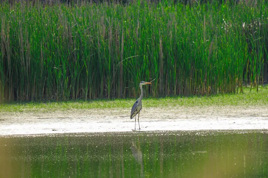
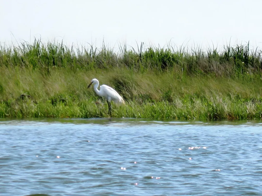
Migratory and water birds, sea turtles, mud snails, diamondback tortoises, various insects, alligators, mink, raccoons, marsh rabbits, and rice rats are common in the marshes. Great blue herons, snowy egrets, and willets are also common, and three bird species nest in the marshes: clapper rails, seaside sparrows, and long-billed marsh wrens.
Endangered and threatened species found along this coast include the Southern bald eagle, peregrine falcons, ospreys, brown pelicans, wood storks, Wilson’s plovers, American alligators, loggerhead sea turtles, northern right whales, and manatees.
Several mammal species feed in the salt marsh. Raccoons are among the most abundant. Marsh rabbits are common along the marsh edges adjacent to high ground. Mink and otter are common but seldom seen. That last detail is one reason kayakers and patient paddlers get a very different experience from highway travelers.
A Nursery for the Sea
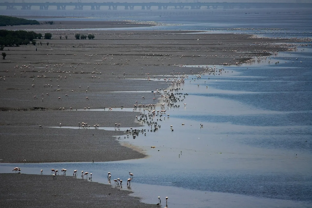
Although the marsh is not home to many permanent residents, various land and aquatic species visit the marsh in order to feed and take shelter, and the marsh’s shallow tidal water is home to the young of many marine species before they return to the open sea.
Scientific studies have shown the immense value of the marshes as a nursery area for more than seventy percent of Georgia’s economically important crustaceans, fish, and shellfish. White shrimp, blue crabs, and intertidal Georgia oysters all rely on these tidal corridors during critical early life stages.
Researchers helped reveal how microorganisms broke down the marsh grass into particles small enough to be consumed by tiny organisms that were, in turn, eaten by the larger fish, birds, shrimp, and crabs. They also helped establish the importance of coastal areas as nurseries for shrimp, oysters, and other ocean organisms. The marsh doesn’t just host wildlife. It builds it.
The Carbon Conversation
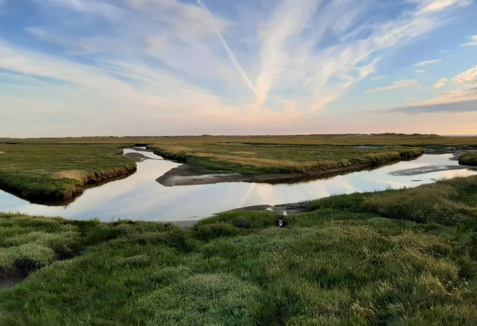
In addition to providing habitat for oysters, shrimp, crab, and fish, Georgia’s marshes are quite important for trapping carbon, known as “carbon sequestration.” Research from the Skidaway Institute of Oceanography has found that the marshes’ surface sediments can contain as much as ten to fifteen percent natural organic carbon.
Researchers at the Georgia Coastal Ecosystems Long Term Ecological Research site on Sapelo Island have been measuring vertical carbon fluxes from a Spartina alterniflora tidal salt marsh using the eddy covariance method from 2014 to 2024. This decade-long dataset, published in early 2026, gives scientists one of the most detailed pictures yet of how these marshes function as carbon sinks.
Coastal habitats like salt marshes provide nursery grounds for fish and protection from storms, while also playing an important role in addressing climate change by removing greenhouse gases like carbon dioxide from the atmosphere and storing them. The case for protecting them keeps getting stronger.
Sapelo Island: Where Science Meets Wild Marshland
Much of the world’s pioneering research on salt marshes took place at the University of Georgia Marine Institute on Sapelo Island. Established in 1953, the institute was the country’s first and is one of its most renowned centers dedicated to the exploration of salt-marsh and estuarine ecosystems. The remote location of the institute provides researchers unparalleled access to largely undisturbed salt marshes, which offer an ideal laboratory for studying how natural systems function as a whole.
The Sapelo Island National Estuarine Research Reserve occupies over one-third of Sapelo Island, the fourth largest Georgia barrier island and one of the most pristine. The reserve comprises 2,110 acres of upland maritime forest and hammock land and 4,000 acres of tidal salt marsh.
Birdwatchers come to Sapelo from all around the world, as the island has over 250 permanent or migratory species, many of which are rare and endangered. Getting there requires a ferry, which is part of what keeps the experience so uncrowded and authentic.
The Protective Function People Rarely Think About
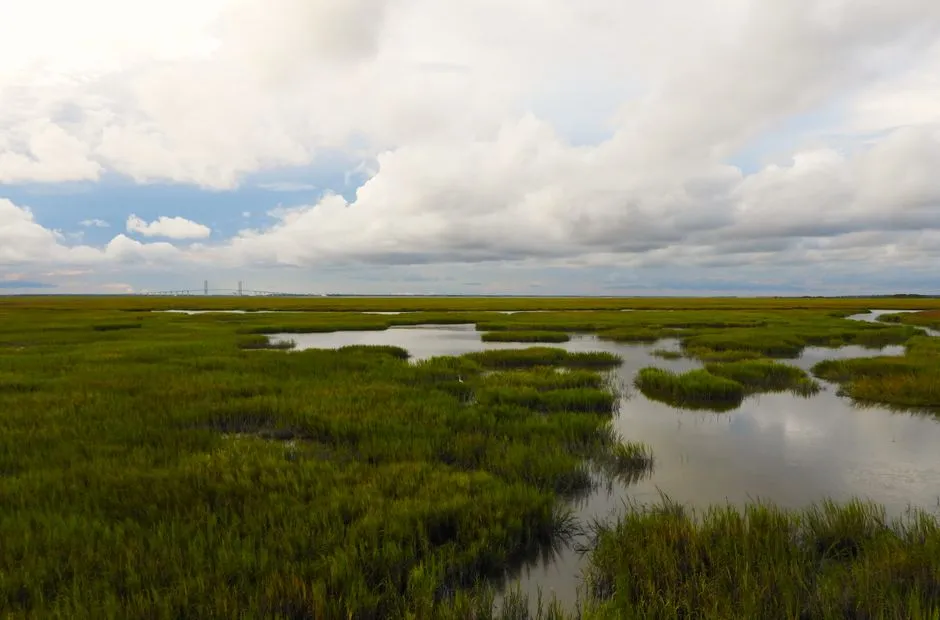
In addition to serving as habitat for specific organisms, salt marshes also function as feeding grounds for terrestrial vertebrates, as a buffer to protect against coastal storm surge, and as a natural filtration system to improve water quality, transform nutrients, and retain sediment.
Without these marshes, hurricanes and northeasters on the Atlantic coast would do considerably more damage. The destructive fury of large storm-spawned waves and tides is greatly reduced by their passage across the marsh. The grass absorbs most of the energy, which lessens the damage that can be done.
Coastal Georgia’s subtropical ecosystem is a mosaic of barrier islands, marsh hammocks, freshwater wetlands, salt marshes, estuaries, and rivers. Marsh hammocks have been named as one of the most endangered landscapes by Scenic America, a national conservation organization. That designation rarely makes the travel brochures, but it matters.
How the Marshes Are Protected
In 1970, Georgia legislators, fearing the state’s coastal salt marshes would be irrevocably damaged by a proposed phosphate mining operation and other industrial activities, passed the Coastal Marshlands Protection Act. The jurisdiction of the act includes marshlands, intertidal areas, mudflats, tidal water bottoms, and salt marshes.
Georgia was among the first states in the nation to take such steps to protect the marshes from development and other encroachments. The law requires permits for any structure, dredging, or fill activity within marsh areas, administered through the Coastal Resources Division of the Georgia Department of Natural Resources.
In April 2024, the Coastal Resources Division released the 10th annual Coastal Georgia Ecosystem Report Card, a comprehensive assessment that evaluates the health of Coastal Georgia’s ecosystems through twelve key indicators. Overall, Coastal Georgia received a grade of B, signifying a moderately good score of 78 percent. Conservation work here is ongoing and measurable.
How to Actually Visit
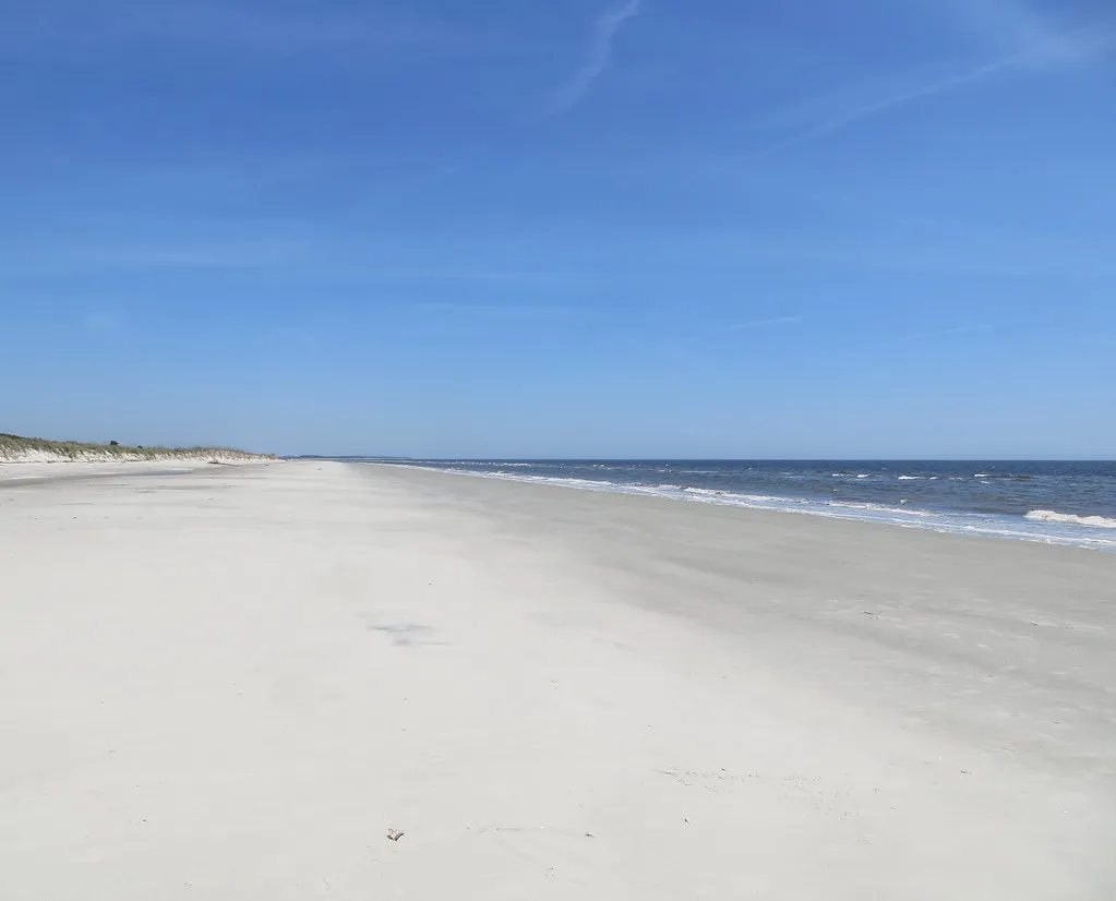
Tours conducted by Sapelo Island National Estuarine Research Reserve staff include a marsh walk, a beach walk, and a tour of Hog Hammock, Reynolds Mansion, and other historic ruins on the island. It’s one of the more genuinely immersive coastal experiences available anywhere on the East Coast.
Sapelo Island stands apart from many other coastal destinations because of its strong commitment to preservation and cultural protection. While many beaches have become crowded with hotels and resorts, Sapelo remains a place where nature, history, and community traditions still shape the landscape. This balance between conservation and tourism allows visitors to experience the Georgia coast in a way that feels authentic and meaningful.
Beyond Sapelo, the marshes are accessible by kayak or canoe from multiple public launch points along the Georgia coast. Moving slowly through the tidal creeks at dawn, you’ll see why early ecologists were so captivated. The marsh has a way of revealing itself only to those willing to slow down.
Conclusion: A Living System Worth the Detour
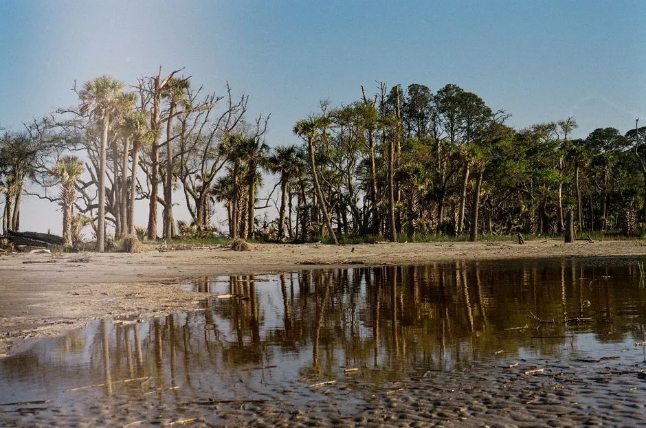
Georgia’s coastal marshes have been filtering water, sheltering wildlife, absorbing storms, and building fisheries for thousands of years, all without much recognition from passing motorists. The science behind their value grows richer every year, and the 2026 publication of decade-long carbon flux data from Sapelo Island is only the latest reminder of how much work these ecosystems quietly do.
The estuarine marshlands of coastal Georgia are among the richest providers of nutrients in the world. Such marshlands provide a nursery for commercially and recreationally important species of shellfish and other wildlife, provide a great buffer against flooding and erosion, and help control and disseminate pollutants.
There’s something humbling about standing at the edge of a tidal creek and watching the water pull away, exposing black mud thick with fiddler crabs and ribbed mussels, knowing that this same rhythm has sustained life here since the glaciers melted and the sea crept in. The marshes were here long before the causeways, and with care, they’ll outlast them too.
AI Disclaimer: This article was created with the assistance of AI tools and reviewed by a human editor.