

An Island of Staggering Size
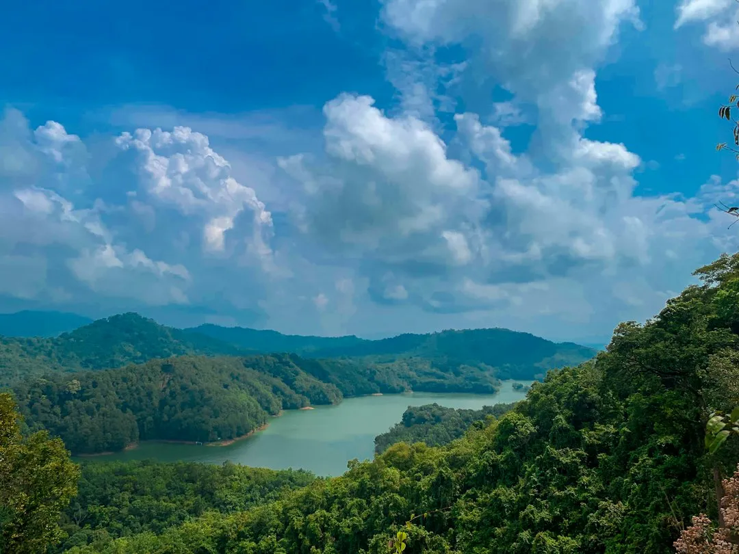
With an area of 743,330 square kilometers, Borneo ranks as the third-largest island in the world. To put that in perspective, it’s larger than many recognized countries, including France or Ukraine.
Borneo is the world’s third-largest island, surpassed only by Greenland and New Guinea. Its scale is easy to underestimate on a standard map, where the visual weight of continents tends to dwarf even very large islands.
Borneo is not only the world’s third-largest island but also the largest island in Asia. That distinction alone makes it a kind of geographic anchor for the entire region.
Three Countries, One Island
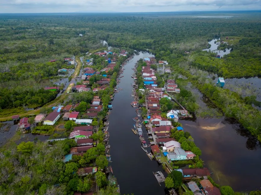
Borneo has the distinction of being the only island in the world shared by three countries: Malaysia, Indonesia, and Brunei. That’s a remarkable political fact, with borders drawn through rainforest, river systems, and mountains.
The island is divided between three countries: Indonesia at roughly 73 percent, Malaysia at roughly 26 percent, and Brunei at approximately 1 percent. These proportions haven’t changed significantly in decades, though what happens within those borders certainly has.
The division of Borneo among three nations creates complex border arrangements that influence everything from wildlife conservation to infrastructure development. Cross-border cooperation, when it happens, is genuinely consequential.
Kalimantan: Indonesia’s Vast Southern Territory
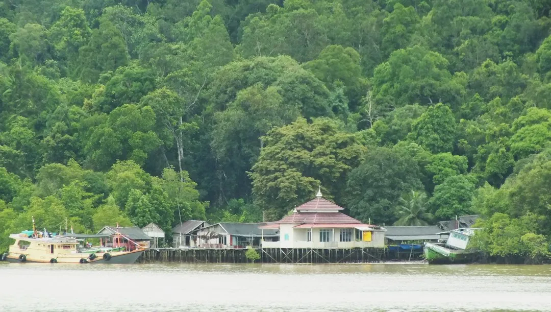
The southern two thirds of the island is controlled by Indonesia and is known as Kalimantan, a name that translates as “diamond river.” It’s a name that hints at the island’s long history as a place of natural wealth.
Approximately 73 percent of the island is Indonesian territory, consisting of five provinces: Central Kalimantan, East Kalimantan, North Kalimantan, South Kalimantan, and West Kalimantan. These five provinces collectively make Kalimantan one of the largest territorial units in all of Indonesia.
Indonesia’s Kalimantan occupies the largest portion of the island and is set to play an even greater role in the country’s future, with the new capital, Nusantara, under development in East Kalimantan. Much of Kalimantan remains wild and sparsely populated, its great rivers carving through remote interior landscapes.
Malaysian Borneo: Sabah and Sarawak
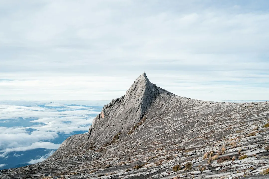
The Malaysian states of Sabah and Sarawak make up the northwestern part of the island. Together they represent Malaysian Borneo, a region that feels culturally distinct from peninsular Malaysia in many ways.
The Malaysian state of Sabah is the most densely populated jurisdiction in Borneo, though the most populous city on the island, Samarinda, is located in the East Kalimantan province of Indonesia.
The island’s highest point is Mount Kinabalu in Sabah, Malaysia, with an elevation of 4,095 meters. Mount Kinabalu is a UNESCO World Heritage Site and one of the most climbed peaks in Southeast Asia, drawing visitors from around the world every year.
Brunei: Small but Sovereign
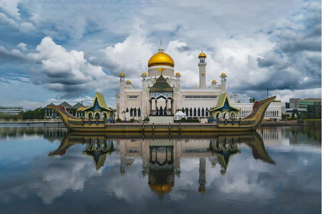
Brunei is a sovereign state located almost entirely on Borneo. It consists of two coastal tracts within the Malaysian state of Sarawak, and also includes several small adjacent islands. Its geographic fragmentation makes it one of the more unusual national configurations on earth.
The sovereign state of Brunei, located on the north coast, comprises about 1 percent of Borneo’s land area, consisting of four districts including Belait, Brunei-Muara, Temburong, and Tutong.
Brunei Darussalam has a rich culture and royal heritage dating back some 500 years. Local attractions include the world’s largest water village, Istana Nurul Imam, and the Ulu Temburong National Park. Despite its small footprint, Brunei carries significant cultural and historical weight on the island.
Population Across a Vast Landscape
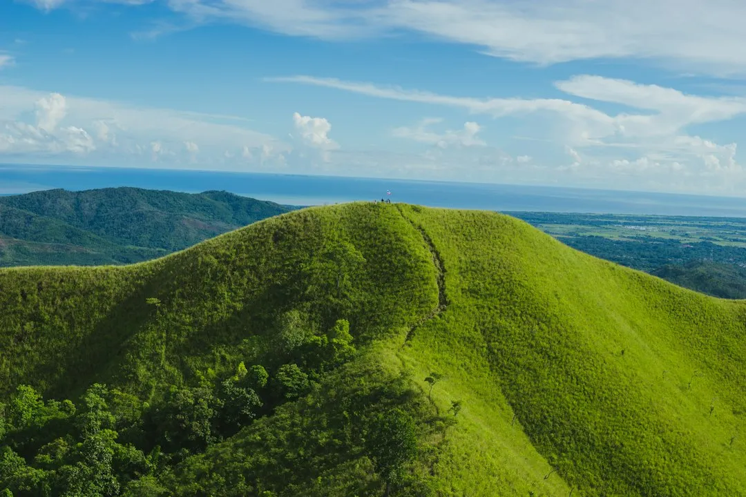
The total population in Borneo is 23,053,723 according to 2020 national censuses. For an island of this size, that number is relatively modest, reflecting just how much of the interior remains forested and difficult to access.
According to 2023 statistics, Borneo has a population of 21.25 million, with 30.8 people per square kilometer. Population density varies dramatically between the coasts and the interior, where river transport has long been the primary way to move through the landscape.
The island is projected to have a population of 24 million by 2040. The population of Nusantara alone had grown from just around 153,000 in 2022 to 488,409 in 2024, recording very high growth in just two years. The new Indonesian capital is reshaping migration patterns across Kalimantan at a remarkable pace.
Ancient Rainforests of Extraordinary Age
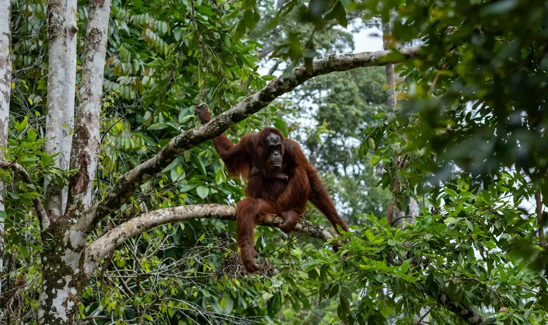
The Bornean rainforests are estimated to be around 140 million years old, more than twice the age of the Amazon rainforest. That age matters enormously for biodiversity, since species have had far longer to evolve and specialize in Borneo’s ecosystems.
This ecologically rich habitat is considered to be among the most biologically diverse places on earth, with rainforests so dense that scientists continue to discover new species every year. New insects, amphibians, and even mammals have been formally described in recent decades.
With seven unique ecoregions, including large expanses of some of the oldest tropical rainforests in the world, Borneo is rich in biodiversity and endemic species. The island’s mix of lowland forests, montane zones, peat swamps, and coastal mangroves creates habitat layers found almost nowhere else on earth.
Wildlife Under Pressure
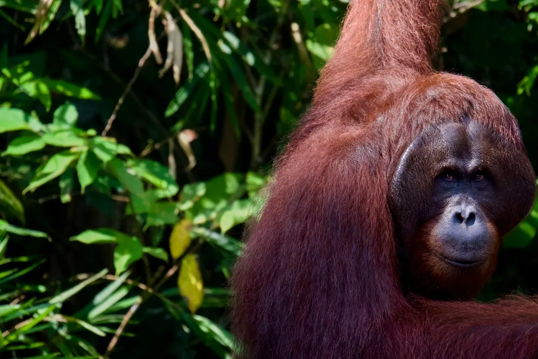
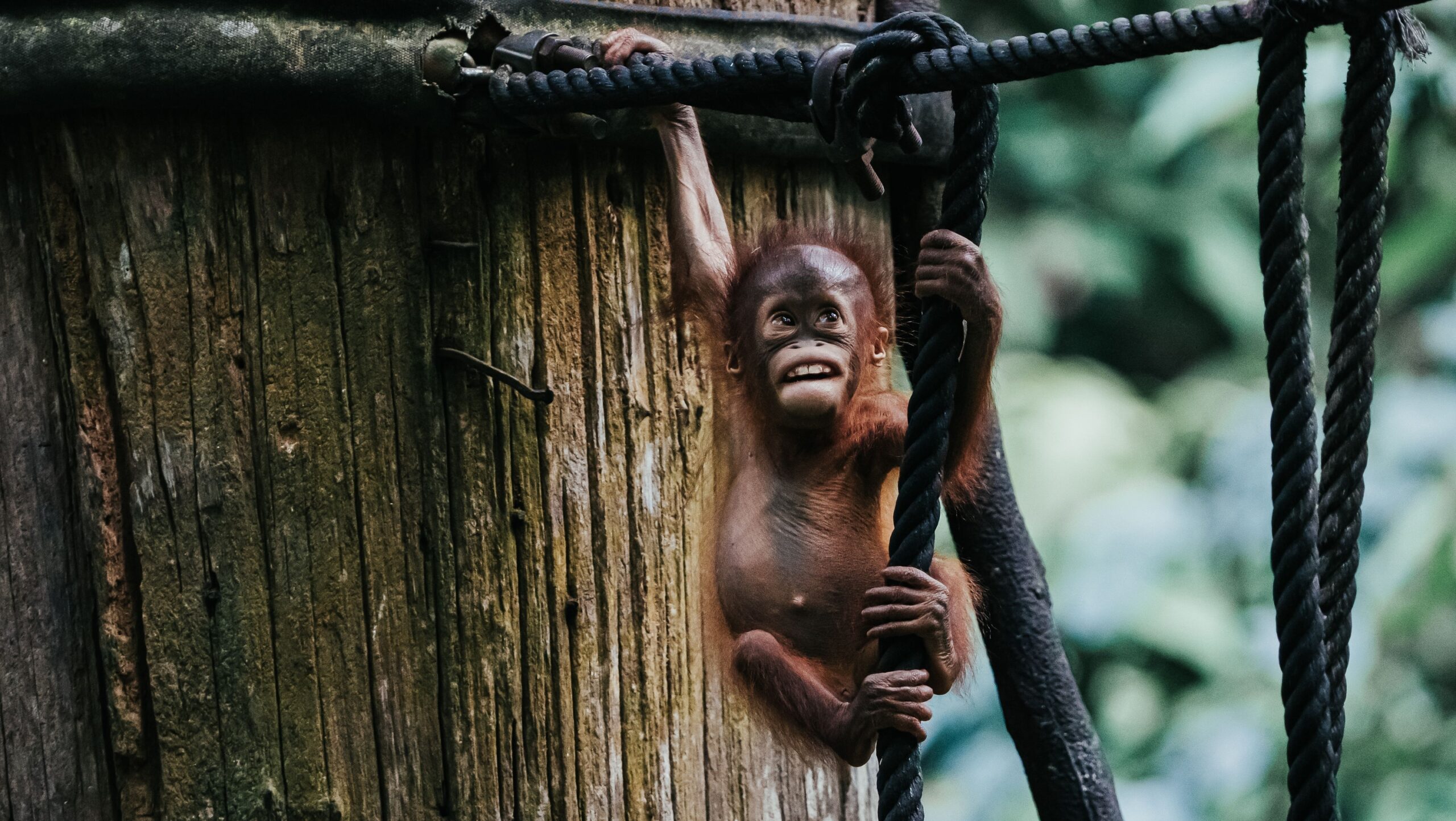
Borneo is home to more than 600 species of birds, including rhinoceros hornbills. Its mammal list is equally impressive, including orangutans, pygmy elephants, sun bears, and proboscis monkeys, many of which are found nowhere else.
Due to deforestation in Borneo and the resulting destruction of habitats, many species are endangered, such as the Bornean orangutan, or critically endangered, such as the Borneo elephant, along with many species of birds and mammals that are endemic to the island.
Reforestation efforts in Sabah, Borneo, are bringing wildlife back, with sun bears, elephants, and more returning as new wildlife corridors reconnect rainforest patches. These conservation gains are real, though they remain fragile against the broader pressures on the land.
The Deforestation Crisis
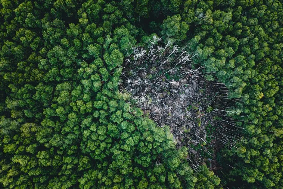
Borneo, shared by Indonesia, Malaysia, and Brunei, is one of the world’s richest biodiversity hotspots and a critical carbon store. Over the past 50 years, more than 30 percent of its forests have been lost to oil palm expansion, mining, peatland drainage, and urbanization, pushing wildlife to the brink of extinction and increasing the risks of floods, fires, and landslides.
According to research using historical and modern satellite data, Indonesian Borneo lost 11 million acres of old-growth forest between 2001 and 2023, with additional acres destroyed each year. The numbers are sobering, and they represent an irreversible loss of habitat that took millions of years to develop.
In 2024 alone, Indonesia, which governs the Kalimantan portion of Borneo, cleared around 264,000 hectares of forest, an area larger than Luxembourg, in a single year. That rate of clearance, sustained year after year, defines one of the most urgent conservation challenges on the planet.
Nusantara: A New Capital Changes Everything
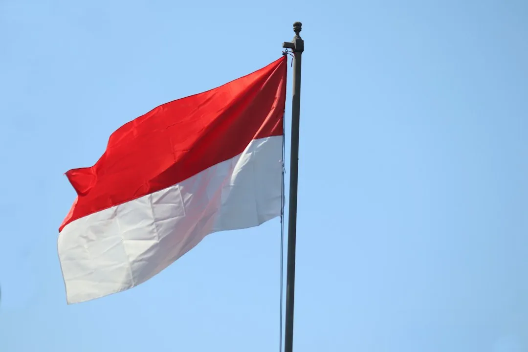
Indonesia’s Kalimantan is set to play an even greater role in the country’s future, with the new capital, Nusantara, under development in East Kalimantan. This is one of the largest infrastructure projects anywhere in the world right now, and it sits directly on Borneo’s soil.
The population of Nusantara alone had grown from just around 153,000 in 2022 to 488,409 in 2024, recording very high growth in just two years. The speed of that demographic shift is extraordinary by any measure.
The tension between economic development and ecological preservation makes Borneo one of the most consequential islands on the world map. The decisions made here, across all three national governments, will carry weight far beyond the island’s own coastlines.
Conservation Efforts Across Borders
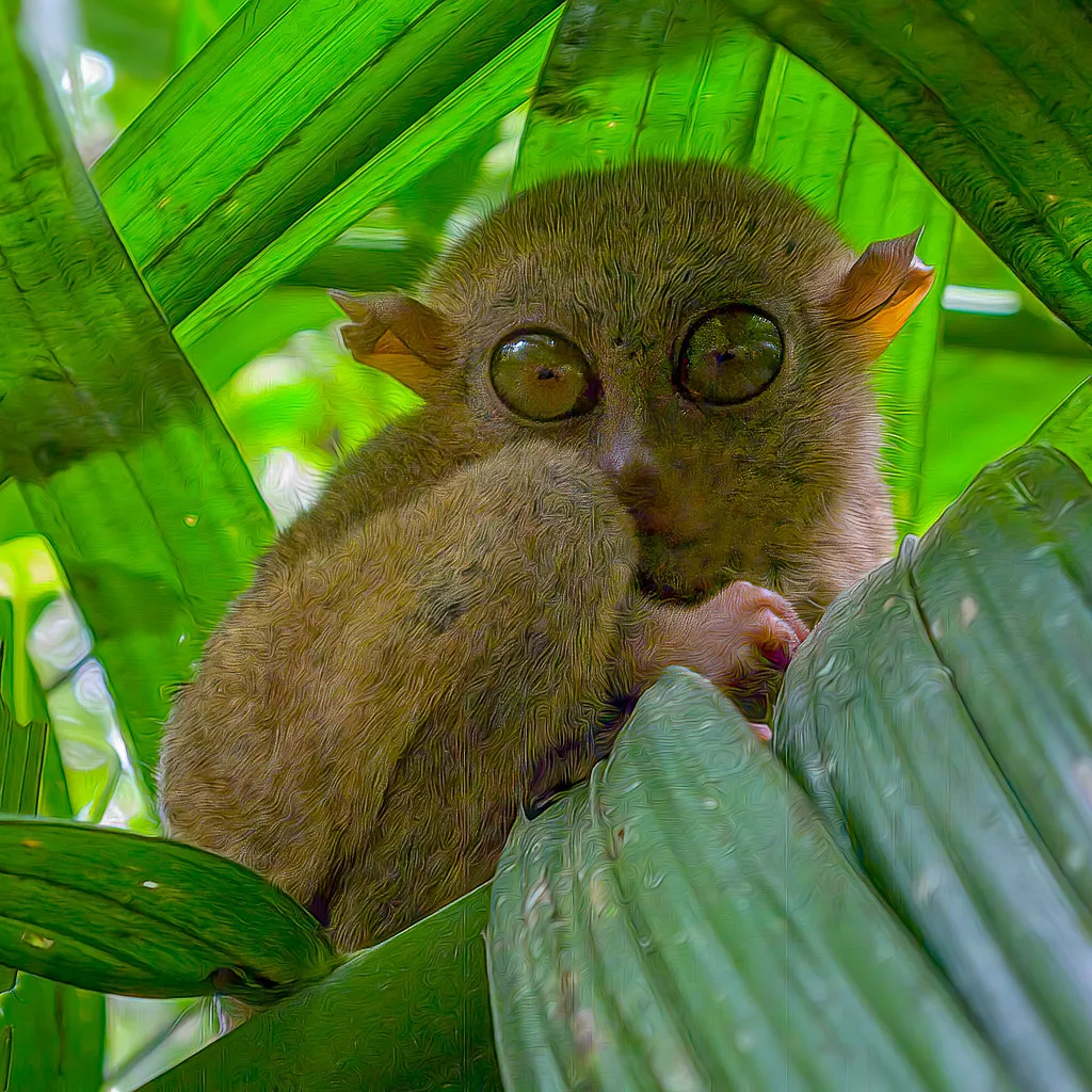
The 2025 Borneo Assessment Report synthesizes insights from seven thematic clusters to present a roadmap for ecosystem restoration and sustainable growth. This kind of coordinated, cross-border planning represents a meaningful shift in how the three nations approach the island’s future.
In northern Tabin, where a forest connection to adjacent areas was created in 2012, the canopy finally closed in 2024. Conservation groups are now proposing the creation of a new wildlife corridor in Segama to improve ecosystem connectivity in the greater Tabin landscape. Progress, when it comes, tends to come quietly and in hectares.
At the end of 2025, an additional 32 hectares of former plantation land in the Tabin-Kulamba wildlife corridor were officially integrated into the Tabin Wildlife Reserve. While this may seem like a relatively small area, it connects over 200,000 hectares of key habitats essential for the survival of Borneo’s threatened flora and fauna.
What Borneo’s Story Tells Us
AI Disclaimer: This article was created with the assistance of AI tools and reviewed by a human editor.