
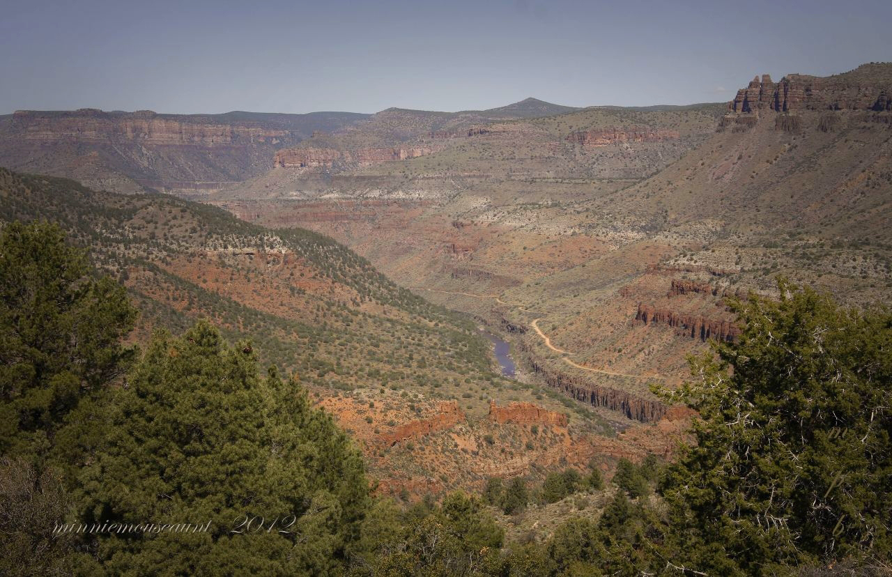

Most road trips through Arizona funnel toward the same postcard spots, the South Rim overlooks, the red rocks of Sedona, the crowded pullouts along Route 66. Somewhere between Phoenix and the White Mountains, though, a two-lane highway drops without warning into a gorge that catches almost everyone off guard. There are no shuttle buses here, no timed entry tickets, and no lines at the rim. Just a river far below, cliffs rising on either side, and a string of small towns nearby where a room for the night rarely stretches the budget.
A Canyon Often Called Arizona’s Mini Grand Canyon
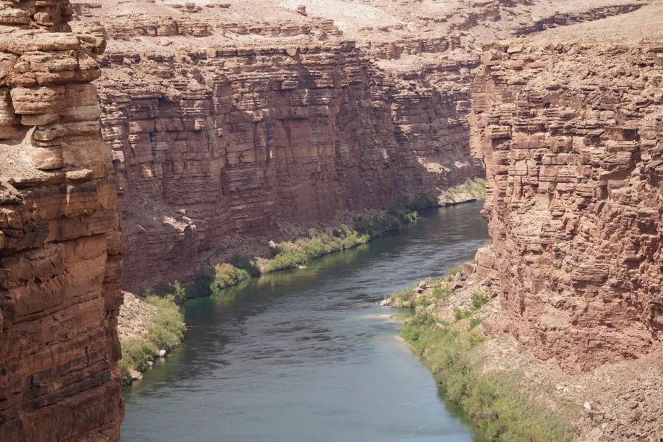
Salt River Canyon sits along US Highway 60 between the towns of Globe and Show Low, cutting through the White Mountains region of eastern Arizona. Driving between Globe and Show Low in the White Mountains east of Phoenix, US 60 curves and descends dramatically into the Salt River Canyon, with some calling it the mini Grand Canyon. The comparison is not just marketing talk. The highway snakes down some 2,000 feet before climbing back up, with several parking areas allowing visitors to pull off the two lane road and stretch their legs on Apache land.
What makes the canyon feel different from its famous neighbor to the north is the pace. There is no visitor center funneling thousands of people through a single overlook. You simply pull over, walk to the railing, and take it in.
The Scenic Drop Along US Highway 60
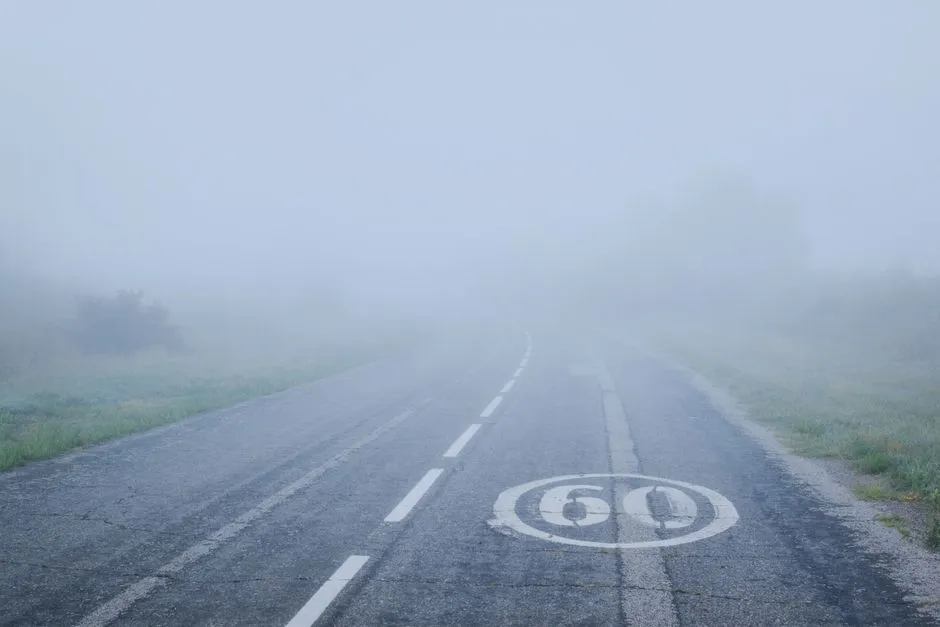
The drive itself is part of the experience, not just a means of getting there. From Phoenix, US 60 climbs through rolling hills as it approaches the Salt River Canyon, with the terrain changing from high desert with cactus and mesquite trees to forests of ponderosa pine, before the highway descends sharply into the canyon after entering the San Carlos Reservation, making a series of hairpin turns to reach the Salt River.
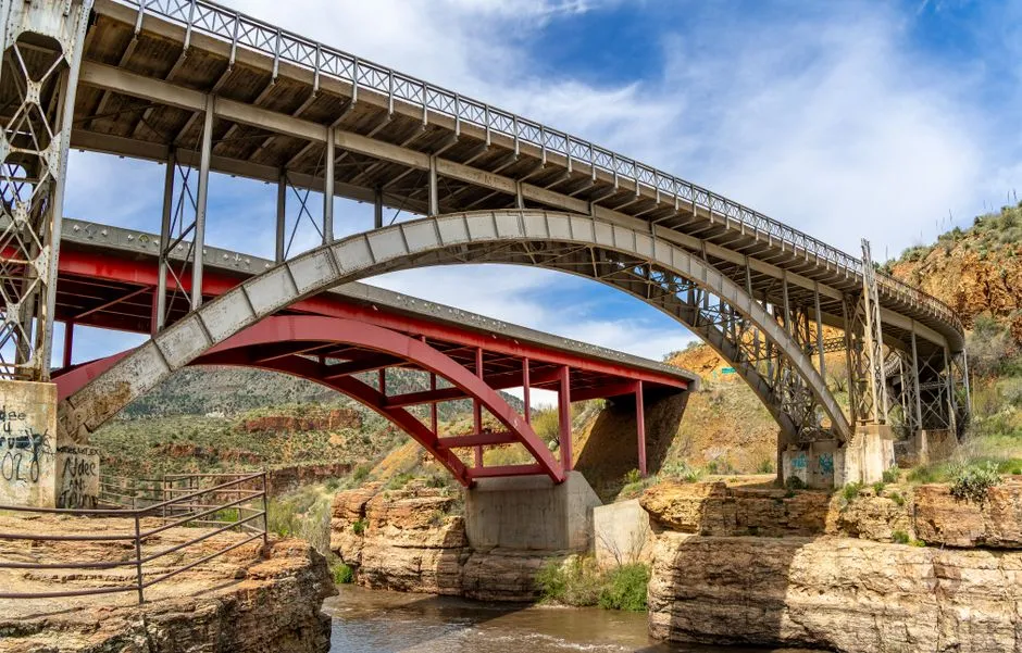
Along the way, Hieroglyphic Point is one of the viewpoints along the scenic drive, where visitors can stop to stretch their legs at the viewing and interpretive display area before crossing the bridge, wander along the banks below to enjoy the rock strewn rapids, and on hot days slip their shoes off to dip their feet into the chilly water. It is a modest stop by national park standards, yet it delivers a real sense of scale without a crowd standing behind you waiting for a turn at the rail.
Land of Two Apache Nations
The canyon is not empty land waiting to be discovered. It has been home to Apache communities for generations, and understanding that context changes how a visit should feel. The Salt River forms the boundary between two large Apache reservations in eastern Arizona.
The government eventually established the San Carlos Apache Reservation in 1871 and the Fort Apache Reservation in 1897, and both tribes hold on fiercely to their cultures, with the native language still spoken and taught in schools and tribal ceremonies continuing to be held. Visitors passing through are guests on tribal land, and that is worth remembering at every overlook and every trailhead along the way.
Whitewater Rafting on the Salt River
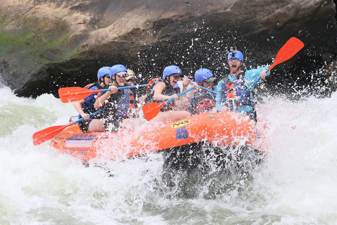
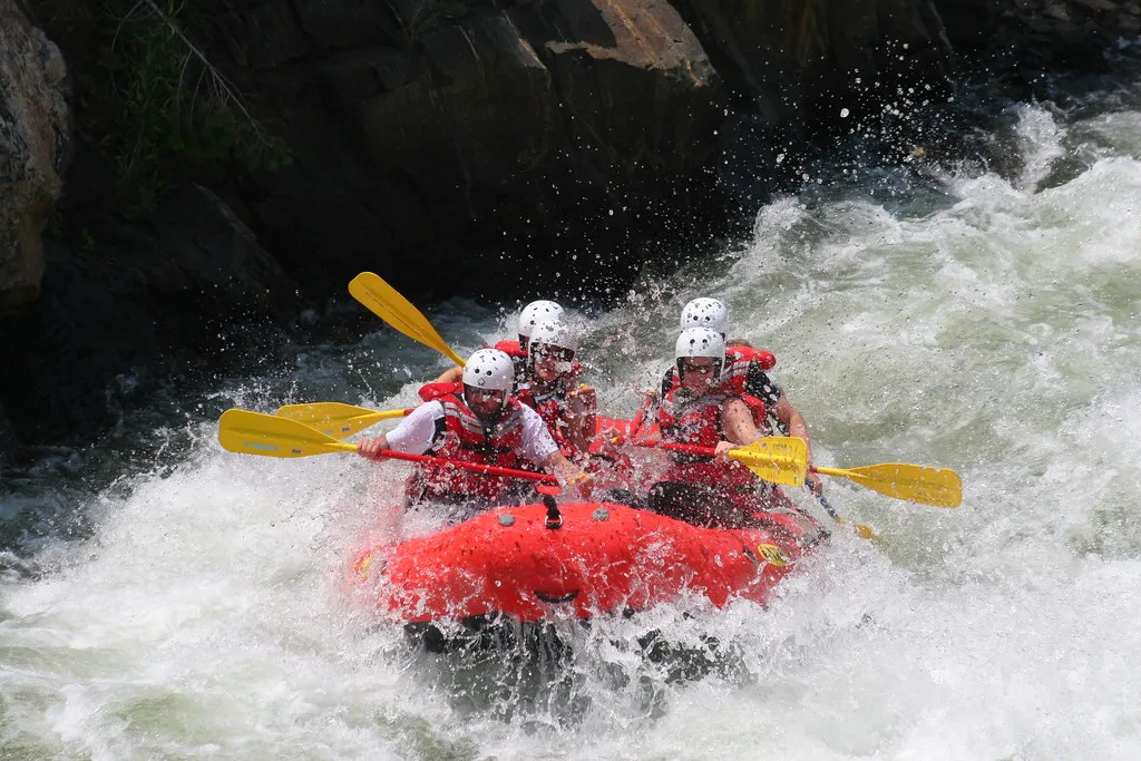
For a stretch each spring, the canyon becomes one of Arizona’s more serious whitewater destinations. Salt River Canyon provides excellent whitewater rafting opportunities, with single and multi day trips available and rapids reaching up to Class 4, single day trips running about 10 miles and often including a pack lunch and short hikes in side canyons, while two, three, and five day trips are also available.
Because the river runs through tribal land, a permit is required before anyone puts in a boat. An Apache Permit Fee of twenty dollars is charged for all trips. The river and canyon are open to hiking, fishing, and white water rafting, but a permit is required since this is tribal land, and information along with recreational permits can be obtained from the San Carlos Apache and White Mountain Apache tribes. The season is short and weather dependent, so timing a trip around the spring snowmelt matters more here than at most rivers in the state.
Apache Falls, the Salt Banks, and Hidden Corners
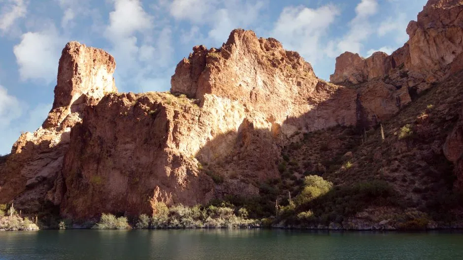
Away from the main highway, a rough dirt road follows the river and leads to a couple of lesser known features. Father Eusebio Francisco Kino visited the canyon in 1698, naming it Salado for the salt springs in the area, and there are great views of the canyon from US 60 as the highway swoops down to a bridge 48 miles southwest of Show Low, with a dirt road that parallels the river offering a highly scenic route past towering cliffs and the river below.
Further along that same road sit the Salt Banks. The Salt Banks, three miles past Cibecue Creek, are a long series of salt springs that have deposited massive travertine formations, with minerals and algae coloring the springs orange, red, and dark green, and the site has long been sacred to the Apache, who draw salt here and perform religious ceremonies, though it is closed to the public. Respecting that closure is a simple, necessary part of visiting the canyon responsibly.
Camping Inside the Canyon Itself
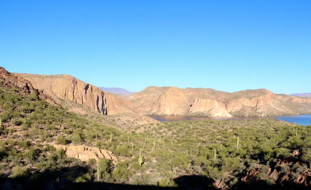
For travelers who want to spend a night closer to the river than any hotel allows, primitive camping is available directly on Apache land. Salt River Canyon on the Apache Tribe offers primitive camping spots in a pristine, uncultivated natural setting, with dispersed camping opportunities where visitors can experience the rugged beauty of the Arizona wilderness, though facilities are minimal so it is important to come prepared with all necessary supplies including water.
A permit is required before setting up camp. Camping in Salt River Canyon Wilderness requires a permit from the Apache Tribe since the area is on tribal land, and visitors must respect tribal regulations which typically include fire restrictions, waste disposal requirements, and limitations on length of stay. It is not a glamping situation by any stretch, but for the price of a permit, waking up beside the river with canyon walls on either side is hard to match anywhere else in the state.
Affordable Home Bases Nearby: Show Low, Pinetop, and Payson
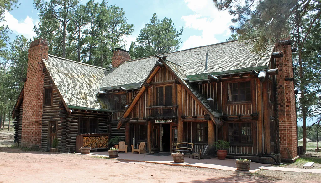
Anyone who prefers a real bed can find one within a short drive of the canyon, without paying resort prices. Show Low and the neighboring Pinetop-Lakeside area sit just north of the canyon along the same general corridor. Home to over 4,000 residents, Pinetop-Lakeside is a mountain town that sits at an elevation of over 7,000 feet, surrounded by the Ponderosa Pine Forest. The Pinetop Studio Suites offer a convenient and affordable stay, with pricing as low as $84.54 a night and towering Ponderosa pines enveloping the area outside the front door.
South and west of the canyon, Payson offers another reasonably priced option with its own mountain scenery. Hotel Kohl’s Ranch Lodge provides commanding views of both the pine trees and the Mazatzal range, with a studio room and king bed available for well under $100 or a standard room for $136. Neither town charges anything close to what a night near a national park entrance typically runs, which makes stretching a trip out over a couple of days a far easier decision.
Practical Tips for Visiting Responsibly
A trip to Salt River Canyon takes a bit more planning than a stop at a national park, mostly because so much of the land is tribal territory rather than federally managed park land. Permits are required for rafting, fishing, and camping, and those permits along with current regulations are best confirmed directly with the San Carlos Apache and White Mountain Apache tribes before setting out. Cell service is spotty in the canyon itself, so downloading directions and checking river or weather conditions ahead of time saves a lot of guesswork.
Spring tends to bring the best combination of flowing water and comfortable hiking temperatures, though the river and rock strewn rapids stay accessible enough that even a short stop to dip your feet in the water rewards the detour. Summer heat at the lower elevations can be intense, so an early start or a late afternoon visit tends to work better than midday.
Why This Detour Is Worth Taking
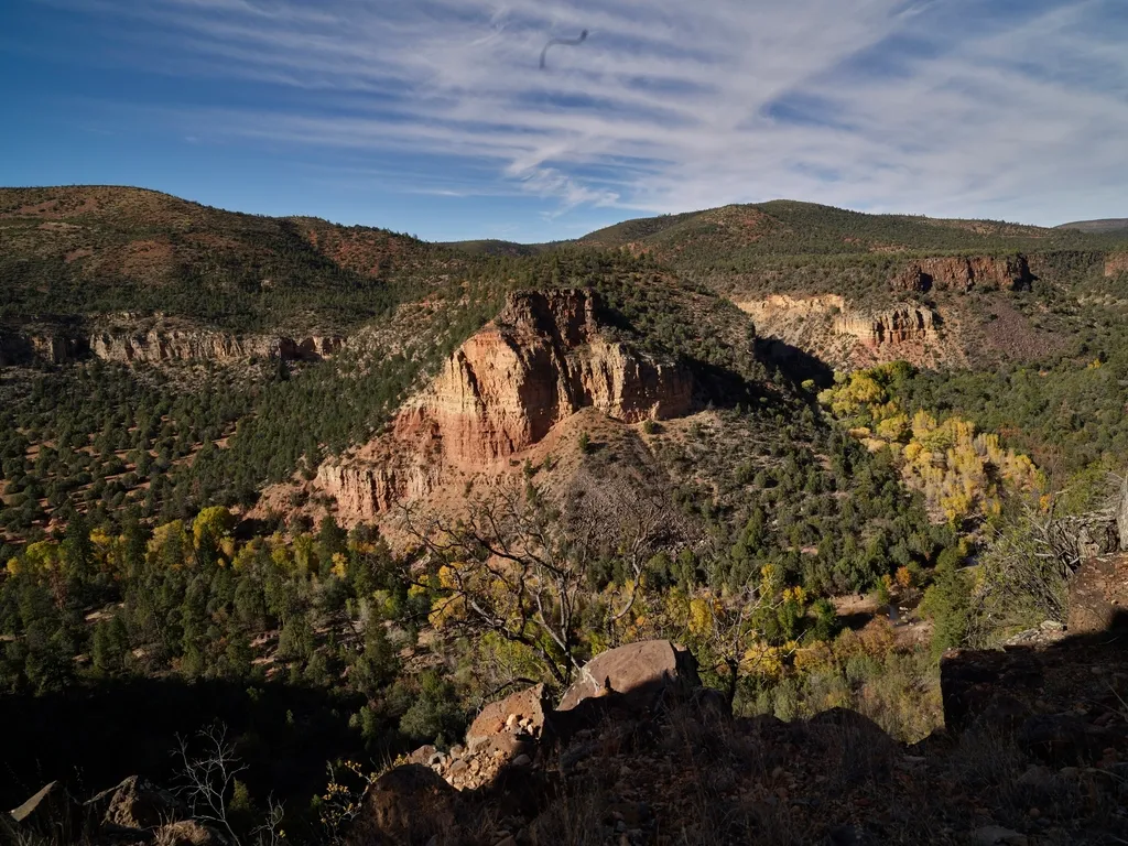
Salt River Canyon will never draw the crowds that gather at the Grand Canyon’s South Rim, and that is precisely its appeal. The views from the highway pullouts rival plenty of better known overlooks, the river below offers real adventure for those willing to secure a permit, and the towns ringing the area still charge honest, affordable rates for a room.
It is the kind of place that rewards a little curiosity and a willingness to slow down, a reminder that some of Arizona’s most memorable landscapes are found not at the end of a long line, but along a quiet stretch of highway most people drive past without a second glance.
AI Disclaimer: This article was created with the assistance of AI tools and reviewed by a human editor.