
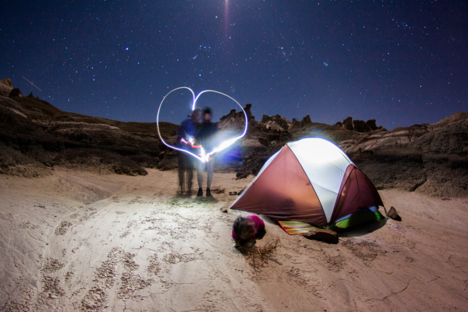

Most people who plan a desert road trip in the American West aim straight for Moab, Zion, or the Grand Canyon. They book crowded campgrounds months in advance, pay nightly fees that rival budget hotel rooms, and spend half their vacation next to someone else’s generator. There’s a better way, and it runs along a 126-mile ribbon of remote asphalt through southeastern Utah that most road-trippers never think to find.
Utah’s State Route 95, one of the state’s most remote stretches of highway, runs 126 miles between Hanksville and Blanding, traversing miles of canyons and rock formations while passing through Natural Bridges National Monument and sections of both Glen Canyon National Recreation Area and Bears Ears National Monument. The scenery is extraordinary. The solitude is real. The camping, in many places along the route, costs absolutely nothing.
The Route That Time Forgot
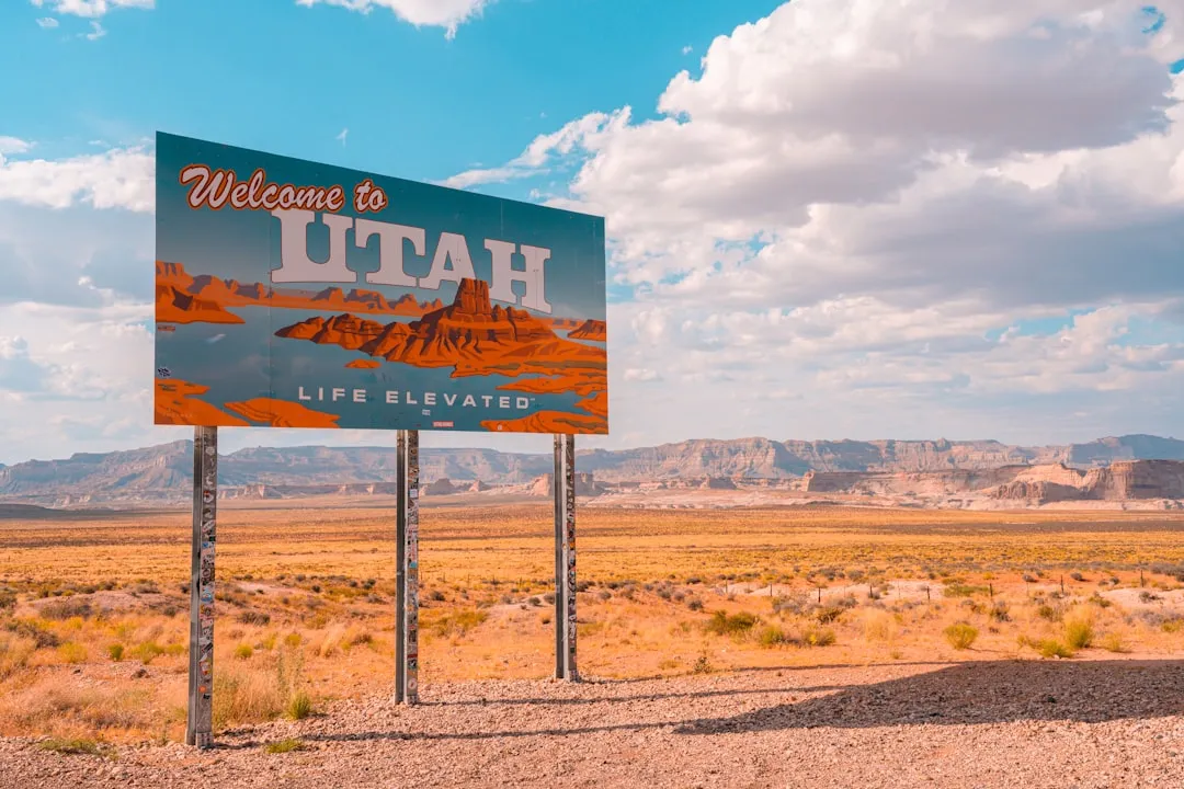
SR-95 first became part of Utah’s state highway system in 1935 as a route connecting Blanding with Natural Bridges. The road was extended to Hanksville in 1949 but remained unpaved for more than 25 years, with paving and improvement completed in 1976 just in time for the U.S. Bicentennial celebration, earning it the name Bicentennial Highway.
The highway bisects Bears Ears National Monument and provides the only road access to Natural Bridges National Monument, while also serving as an access route for the Lake Powell and Cedar Mesa areas. Despite all that, SR-95 draws a fraction of the visitors who crowd the region’s more famous corridors. Drive it on a Tuesday in April and you may not pass more than a dozen other cars.
Why Free Camping Here Is So Accessible
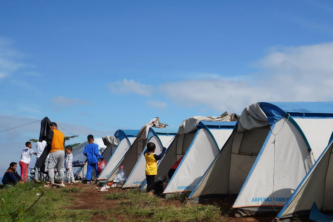
Based on verified government data, two federal agencies provide the majority of free camping opportunities: the Bureau of Land Management manages 245 million acres, and the US Forest Service manages 193 million acres across 154 national forests. BLM land concentrates in 12 western states, including Nevada, Utah, Arizona, and Wyoming.
Utah holds roughly 22.8 million acres of BLM land, making it the second-largest BLM state in the lower 48 after Nevada, alongside 8.1 million acres across five national forests and the Mighty Five national parks. That enormous public land base is the foundation that makes the SR-95 corridor so rich for free camping. Much of the land flanking the road falls under BLM jurisdiction, where dispersed camping is the default expectation rather than the exception.
What Dispersed Camping Actually Means Here
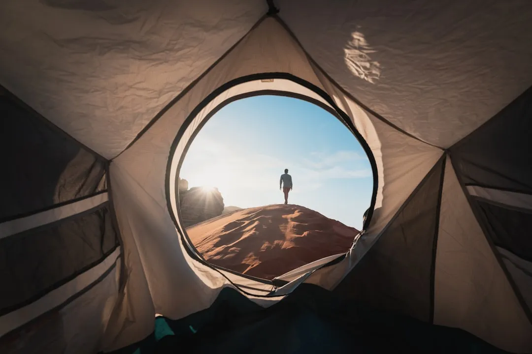
Dispersed camping is broadly defined as setting up camp outside of developed or established campgrounds, most often on public lands. The vast majority of dispersed camping sites are found in National Forests or on BLM lands, and it is entirely free, with no campground fees, permit fees, or entrance fees to be paid.
Most BLM areas allow dispersed camping outside developed campgrounds at no cost, meaning camping outside the boundaries of any developed campground on public land. Along SR-95, that translates to pulling off onto an established dirt track, setting up camp among the canyon formations, and staying for up to 14 days under the standard rule. The catch is that desert camping is not mountain camping. There’s no shade, no water, no forgiving weather, and roads dissolve in rain. Summer heat can be genuinely dangerous.
Comb Wash: The Most Approachable Free Site on the Route
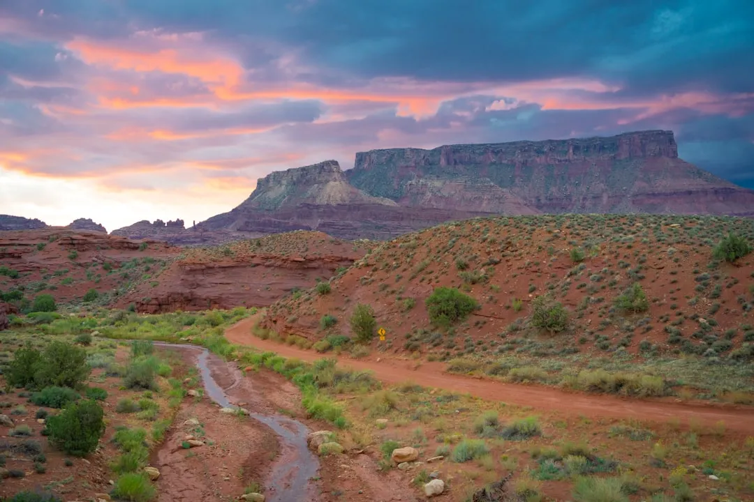
The Comb Wash camping area is a partially developed dispersed camping area located on UT-95 at the base of Comb Ridge. The camping area is mostly open with some mature cottonwood trees and no designated campsites, though it’s obvious from the landscape where others have camped before.
Cedar Mesa, Grand Gulch, Comb Ridge, and the surrounding BLM and US Forest Service lands offer public campgrounds, dispersed camping, and backcountry camping for those exploring Bears Ears. Comb Wash sits right at the foot of a long, dramatic sandstone reef that stretches for miles north and south. Waking up beneath that ridge wall at sunrise is one of those experiences that makes this route feel genuinely private, like the landscape belongs to you for a morning.
Bears Ears National Monument’s Free Camping Depth
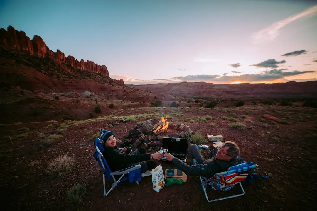
There are many camping opportunities in and around Bears Ears National Monument in southeast Utah. The BLM Monticello Field Office oversees 1.8 million acres of public lands in southeastern Utah, including Bears Ears, and most of the camping opportunities on these lands are dispersed camping.
You can camp anywhere on BLM land within the monument. Butler Wash Road has many turn-offs to various trailheads and camp spots, and the same freedom applies once you leave Highway 261 or 95 onto Cedar Mesa. The landscape here is deeply layered with Ancestral Puebloan history, and the BLM asks that visitors treat archaeological sites with corresponding respect, staying on existing tracks and leaving everything exactly as found.
The Natural Bridges Area and Its Camping Options
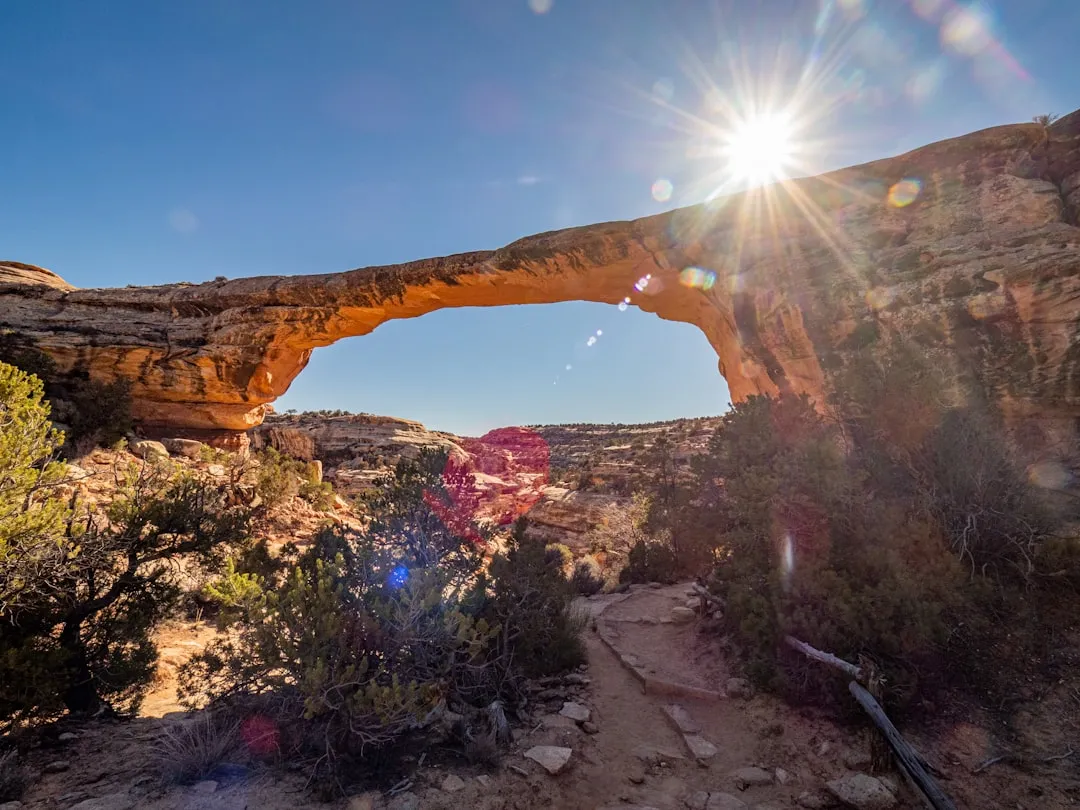
Traversing miles of canyons and rock formations, SR-95 includes Natural Bridges National Monument along its corridor through Glen Canyon National Recreation Area and Bears Ears National Monument. Natural Bridges itself has a small, first-come campground, and Natural Bridges has water and trash disposal, which makes it a useful resupply point even for those camping on nearby BLM land rather than at the monument itself.
Natural Bridges is located off UT-95, 35 miles west of US-191. The monument protects three naturally carved stone bridges, Sipapu, Kachina, and Owachomo, each visible from a short loop road. Camping on the surrounding BLM land outside monument boundaries means you get the views at no cost, with far fewer neighbors.
The Fuel and Logistics Reality
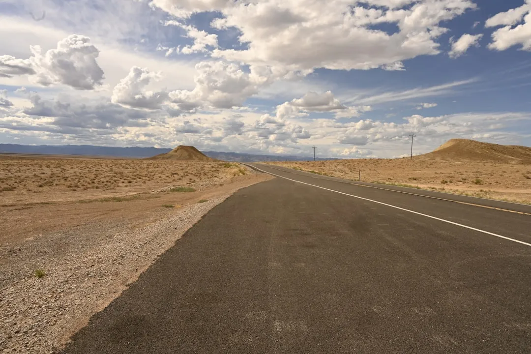
Motorists driving the 126-mile stretch of Utah State Highway 95 between Hanksville and Blanding will need sufficient fuel, as the nearest towns with fuel available are Hanksville, 51 miles to the west, and Blanding, 79 miles to the east. This is not a route for last-minute planning. Fuel, water, and food all need to be thought through before you leave the last town.
Anyone considering the rougher side roads should first check with the BLM office in Hanksville for detailed information before setting out. Cell coverage along much of SR-95 is unreliable, which means paper maps and downloaded offline guides matter far more than usual. Gaia GPS paired with MVUM maps provides excellent dispersed camping research, and offline mapping becomes critical in remote areas without service.
Timing Your Visit for Space and Comfort
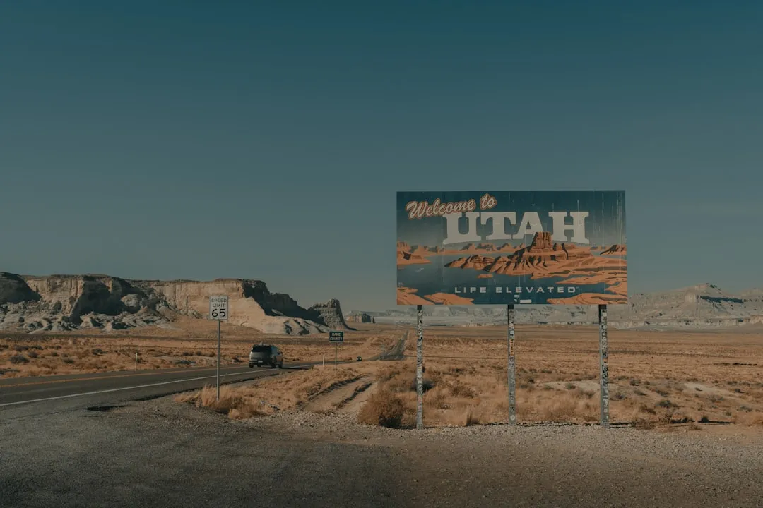
Spring and fall weekends along Utah BLM corridors can be packed. Arriving at 2 PM on a March Saturday may mean driving past 30 occupied sites before finding an open pulloff on a popular road. The SR-95 corridor is less crowded than the Moab area, but that is a relative term. It still draws serious desert travelers, especially in spring when temperatures are ideal.
Weekday visits in October or early November hit a reliable sweet spot: temperatures drop to manageable levels, the angle of desert light becomes extraordinary in the late afternoons, and the competition for sites essentially disappears. High-desert plateaus in Utah above 5,000 feet are summer-focused, typically June through September. The SR-95 corridor, sitting mostly between 4,000 and 5,500 feet, follows a similar rhythm, with shoulder seasons offering the best overall experience.
Leave No Trace in a Landscape This Fragile
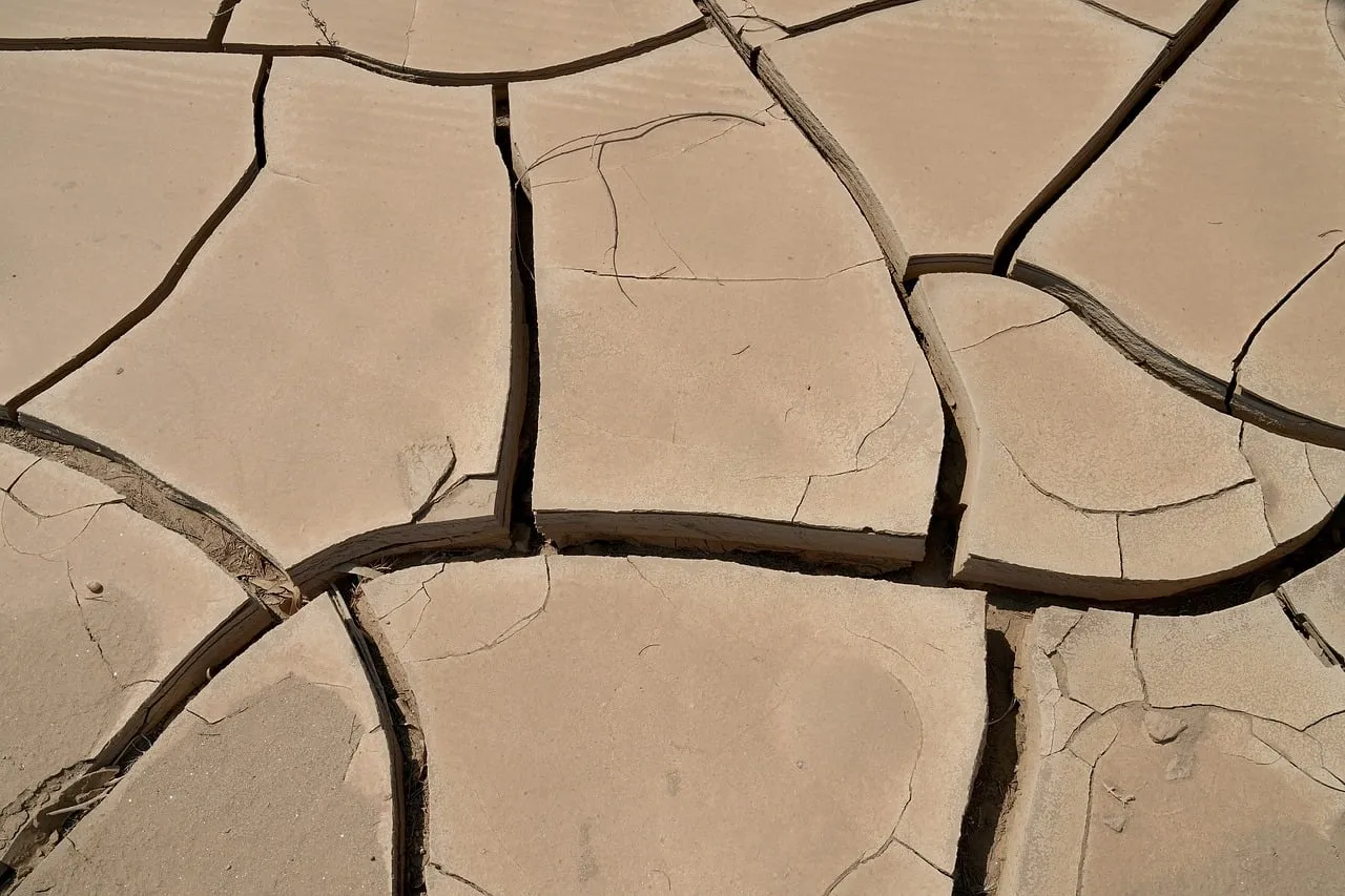
Dispersed campsites are generally located on or adjacent to roads and can be accessed by car, though you’ll typically want a higher-clearance vehicle or 4WD to reach the best sites, even if that isn’t required for all areas. The desert soils along SR-95 are notably fragile. Cryptobiotic soil crusts, the dark, lumpy biological networks that stabilize desert ground, take decades to form and can be destroyed in a single footstep off a hardened surface.
Camping on previously used sites, driving only on established tracks, and packing out every piece of waste are not optional courtesies along this route. They’re what keeps the experience available for the next person. Both BLM and National Forest areas allow free dispersed camping under a 14-day stay limit, and respecting that limit is also part of keeping the system functional. The land is generous. Campers need to be, too.
How This Route Compares to More Famous Desert Alternatives
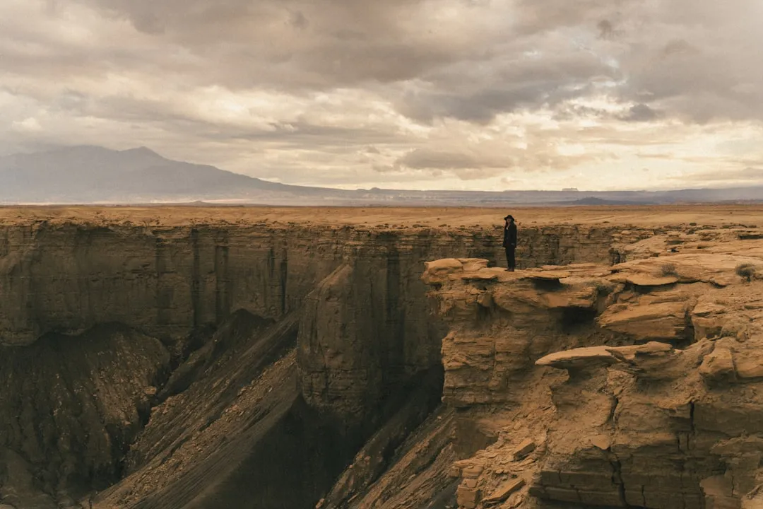
Utah’s five national park campgrounds book out months in advance at rates of $30 to $50 a night. Meanwhile, the state holds 22.8 million acres of BLM land where you can camp for free, tonight, with no reservation, and the contrast between a sold-out park campground and a free BLM site ten minutes down the road never stops being remarkable.
Vast BLM land surrounds all five of Utah’s national parks, offering free camping with incredible red rock scenery near Moab, Capitol Reef, and the Grand Staircase-Escalante. SR-95 threads through several of those zones simultaneously, giving it an almost unfair concentration of free camping quality per mile. Of all the routes in southern Utah, this traverse from Hanksville to Blanding through a civilization-free expanse stands out as one of the most rewarding for free camping.
The Takeaway
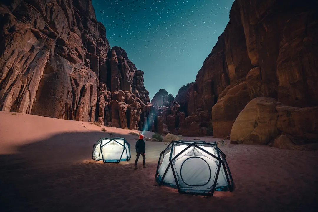
There’s a particular kind of quiet that comes from camping in the desert with no fees paid, no reservation number, and no campground host. You wake up when the light comes over the canyon wall, not when the neighbor’s alarm goes off. SR-95, the Bicentennial Highway, offers that experience at a scale that’s hard to match anywhere else in the country.
The route doesn’t ask for much in return. Carry enough fuel, bring your own water, respect the land beneath your feet, and stay within the 14-day dispersed camping window. Do those things, and one of the most quietly spectacular desert corridors in the American West is yours to explore at no charge, on your own schedule, with space to actually breathe. Some of the best things still don’t cost anything.
AI Disclaimer: This article was created with the assistance of AI tools and reviewed by a human editor.