
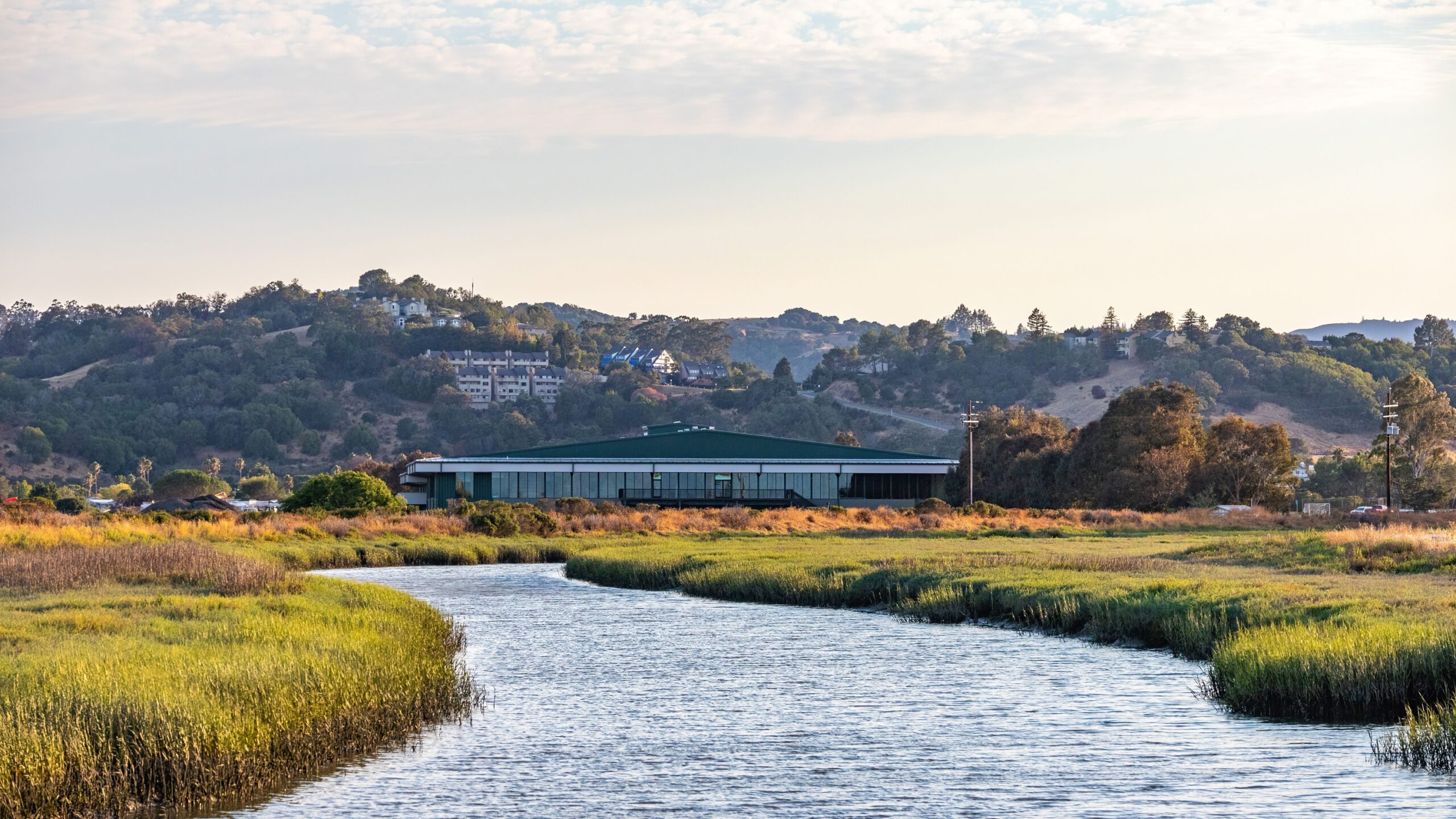
There’s a particular quiet that settles over a place where water has been rising from the ground for thousands of years, long before anyone thought to name it. In San Marcos, Texas, that quiet lives right alongside a university campus, a busy downtown, and one of the clearest bodies of water most visitors will ever stand beside.
The town doesn’t shout about what it has. It just keeps the springs flowing, the way they always have.
A Small City Sitting on Ancient Water
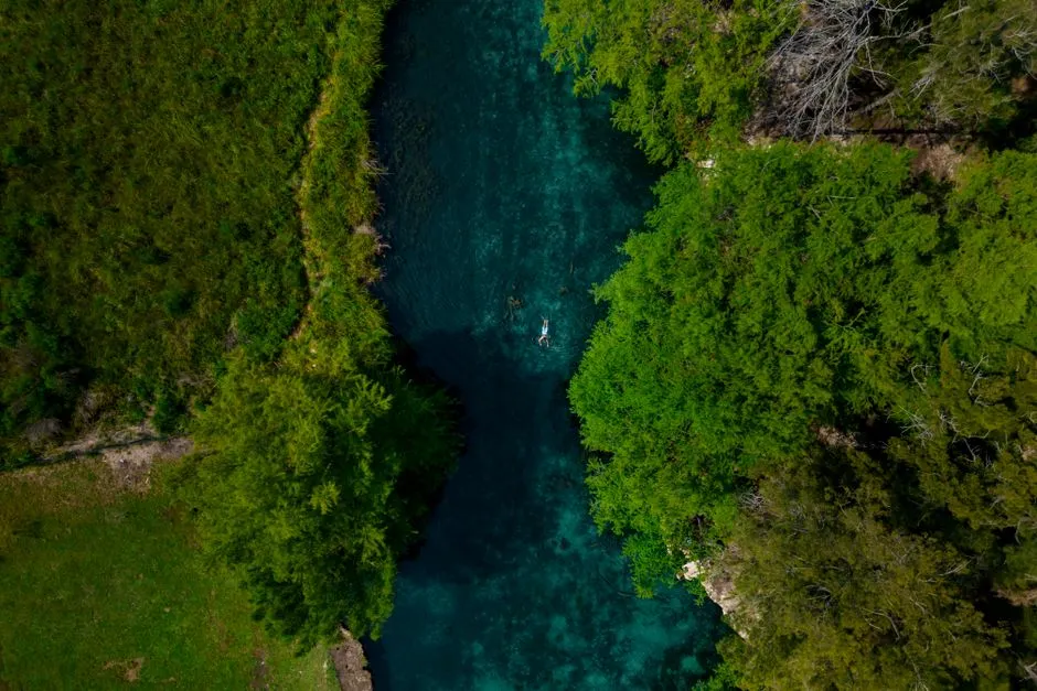
San Marcos sits in the eastern reach of the Texas Hill Country, roughly halfway between Austin and San Antonio. The springs are located in the city of San Marcos, about 30 miles southwest of Austin and 46 miles northeast of San Antonio. What makes the town distinct isn’t just its location along Interstate 35, but what bubbles up from beneath it. The San Marcos Springs have shaped everything from the city’s earliest human settlements to its modern identity as a river town built around water.
One of the Largest Spring Systems in Texas
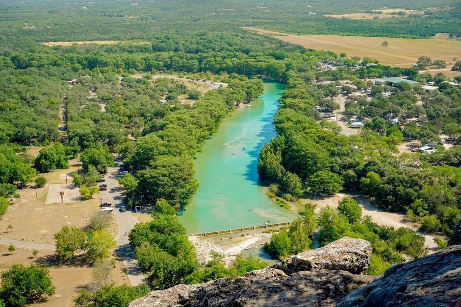
San Marcos Springs is the second largest natural cluster of springs in Texas. Only the Comal Springs in nearby New Braunfels produce more water on average. The springs’ artesian flow issues from the Edwards and associated limestones in three large fissures and some 200 smaller openings along the Balcones fault zone, forming Spring Lake and the San Marcos River.
Historical records show that between 1892 and 1978 the average flow from the springs was estimated at 4,300 liters per second, a figure that translates to roughly 150 cubic feet per second, enough to sustain an entire river system year round.
Spring Lake, the Source of It All
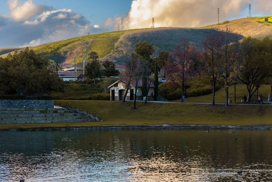
Almost all of that water surfaces beneath a single, glassy body called Spring Lake. In 1849, General Edward Burleson constructed a “crib and rock” dam at the headwaters of the San Marcos River to power a saw and grist mill, and this dam resulted in the formation of Spring Lake above the San Marcos Springs.
The lake essentially submerged the springs rather than eliminated them, so today visitors can watch sand and water swirl upward from vents on the lake floor. It remains one of the most visually striking natural features in the region, prized for water so transparent that the springs themselves are visible from the surface.
A Place Humans Have Called Home for Millennia
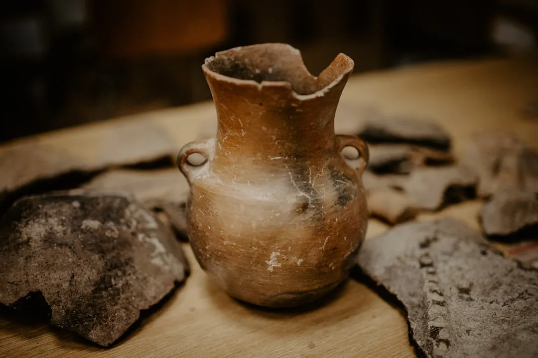
Long before European explorers arrived, this stretch of water was already central to life in the region. Archaeologists believe that the San Marcos Springs area may be the oldest continually inhabited site in North America, with sediment core evidence of human activity dating back approximately 11,500 years, and excavations uncovering Paleo Indian artifacts dating back as much as 19,000 years.
Different Indigenous peoples gave the springs their own names and meanings over time. The Coahuiltecan called them “Ajehuac Yana,” meaning spirit spring, while the Tonkawa called them Canocanayesatetlo, or warm water, a reference to the springs’ relatively warm 72 degree Fahrenheit year round temperature.
From Cattle Trail Stop to Roadside Attraction
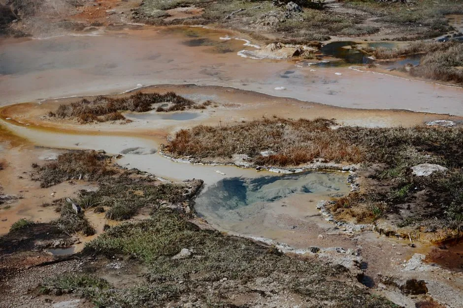
The springs’ role kept evolving as Texas itself changed. White Americans began settling the area in 1835, and the springs became a major stop on the Chisholm Trail. By the twentieth century, the site had transformed into something else entirely.
From 1928 until 1996, a resort and amusement park known as Aquarena Springs was located at the site, and it welcomed more than 350,000 people a year at its peak, complete with glass bottom boats, an underwater theater, and a swimming performer act that older San Marcos residents still remember fondly.
A University Takes Over Stewardship

The amusement park era eventually gave way to something more focused on conservation. Texas State University purchased the surrounding area in 1994, and the site is now known as The Meadows Center for Water and the Environment.
The last traces of the old amusement park, including the submarine theaters and the Sky Spiral, were carted away in 2012, clearing the way for a facility centered on research and education rather than entertainment. Visitors today can still ride glass bottom boats, but the emphasis has shifted toward understanding the aquifer beneath their feet rather than simply marveling at it.
Home to Species Found Nowhere Else
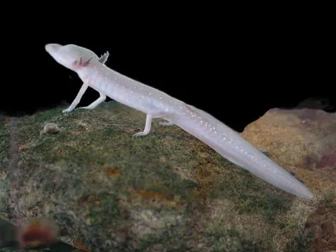
The ecological stakes here are considerable. San Marcos Springs is home to eight threatened or endangered species, including the fountain darter, the Texas blind salamander, the San Marcos salamander, the San Marcos gambusia, Texas wild rice, and several rare aquatic beetles and amphipods.
Many of these species exist only within this specific spring system and nowhere else on Earth. That kind of concentrated rarity is part of why the site draws biologists and hydrologists from across the country, not just tourists.
A Natural Area Worth Wandering

Beyond the lake itself, the surrounding land offers its own rewards. Spring Lake consists of 252 acres of undeveloped parkland that sits just above the headwaters of the San Marcos River, with more than six miles of trails traversing the acreage.
The terrain includes Edwards Plateau meadows and woodlands, and certain hillside trails are closed from March through May for golden cheeked warbler nesting season. It’s the kind of quiet, walkable landscape that rewards patience more than speed, especially for anyone interested in the plant and bird life unique to this part of the Hill Country.
Why the Flow Sometimes Shifts
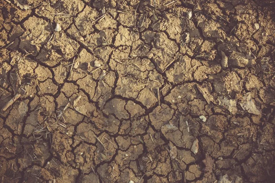
The amount of water rising from these springs isn’t fixed, and recent years have shown just how sensitive the system can be. During a stretch of drought in 2024, San Marcos Springs flows were recorded at about 83 cubic feet per second, well below the long term average of roughly 152 cubic feet per second. That same year, because Comal Springs flows had dropped even further, San Marcos Springs briefly became the largest active spring system in the state. It’s a reminder that these numbers move with rainfall, aquifer levels, and regional water use, not just geology.
Visiting the Springs Today
For anyone planning a stop in San Marcos, the springs remain genuinely accessible. Spring Lake is accessible to visitors through the Meadows Center for Water and the Environment, which offers glass bottom boat tours among other opportunities to explore and learn about the ecosystem. The surrounding downtown mixes historic buildings with a college town energy, and the San Marcos River itself remains a popular spot for paddling and tubing downstream from the springs. It’s a rare combination: a functioning small city built directly around a fragile, ancient natural resource, with both treated as worth protecting rather than one sacrificed for the other.
San Marcos doesn’t need embellishment to make its case. The springs have been running for longer than recorded history can fully account for, and the town built around them has, for the most part, learned to treat that water as something worth understanding rather than simply using. That balance, between a living city and a genuinely ancient natural feature, is what makes a visit here feel less like sightseeing and more like standing next to something that predates almost everything else nearby.
AI Disclaimer: This article was created with the assistance of AI tools and reviewed by a human editor.