
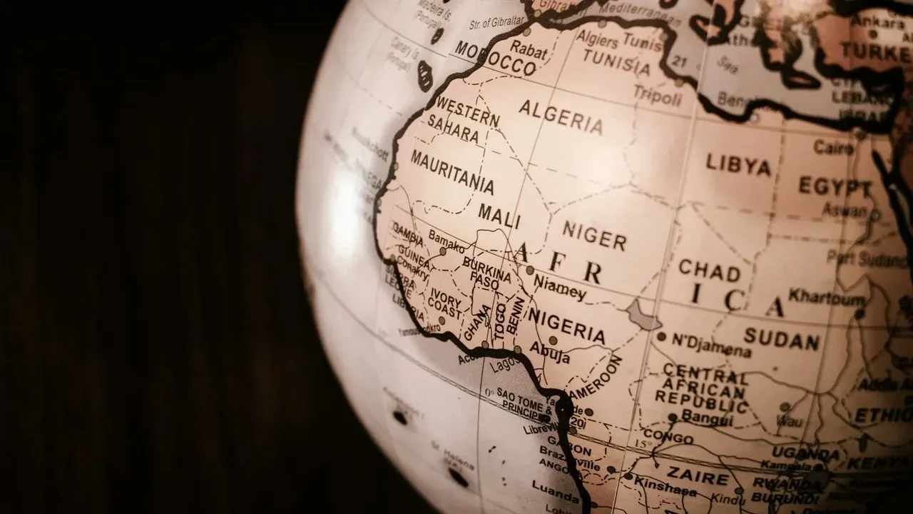

The United Nations General Assembly has endorsed a new world map designed to represent Africa’s actual scale more faithfully than the projections long used in classrooms and atlases. The decision reflects a quiet but meaningful shift in how global geography is presented. For travelers, the change offers a clearer sense of the continent’s immense reach across latitudes and landscapes.
The familiar distortion travelers inherit
Most world maps still rely on the Mercator projection, a centuries-old system that stretches landmasses near the poles while compressing those near the equator. Africa, straddling the equator, appears noticeably smaller than it is in reality. The effect has shaped generations of mental images, making the continent seem more compact than the combined land area of the United States, China, India, and much of Europe. This visual shorthand influences how people plan journeys and compare destinations. A traveler scanning a standard map might underestimate the time needed to cross from Dakar to Dar es Salaam or the variety of ecosystems between the Mediterranean coast and the Cape of Good Hope. The distortion is not malicious, yet it quietly narrows expectations before any itinerary begins.
What the updated map corrects
The newly adopted projection restores Africa’s proportions without sacrificing readability for other regions. The continent now occupies the space its actual measurements warrant, revealing a landmass larger than many combined national territories. Viewers see at a glance how the Sahara alone rivals the size of several European countries and how the Congo Basin and the savannas of East Africa extend across distances that rival transcontinental routes elsewhere. The update does not erase other continents; it simply stops shrinking one of them. For anyone who has traced routes on paper or screens, the difference is immediately noticeable and more intuitive for estimating travel times and seasonal windows.
Why accurate scale matters on the ground
Responsible travel planning benefits when distances and proportions align with reality. Knowing Africa’s true extent encourages more thoughtful pacing – allowing time for the slow unfolding of landscapes rather than rushed checklists. It also highlights the continent’s ecological and cultural range, from ancient rock-hewn churches in Ethiopia to the coastal forests of Mozambique and the high plateaus of southern Africa. Travelers who internalize the corrected scale often approach itineraries with greater respect for local rhythms and the sheer variety of experiences available within a single country or region. The map becomes an invitation rather than a limitation.
What matters now
The revised map quietly reframes how the world is taught and imagined, giving travelers a more honest starting point for exploration across Africa’s many horizons. ([1])
Accurate representation supports the kind of purposeful journeys that value depth over breadth. As more people consult updated references, the continent’s full presence on the global stage becomes easier to appreciate in both planning and experience.
AI Disclaimer: This article was created with the assistance of AI tools and reviewed by a human editor.