
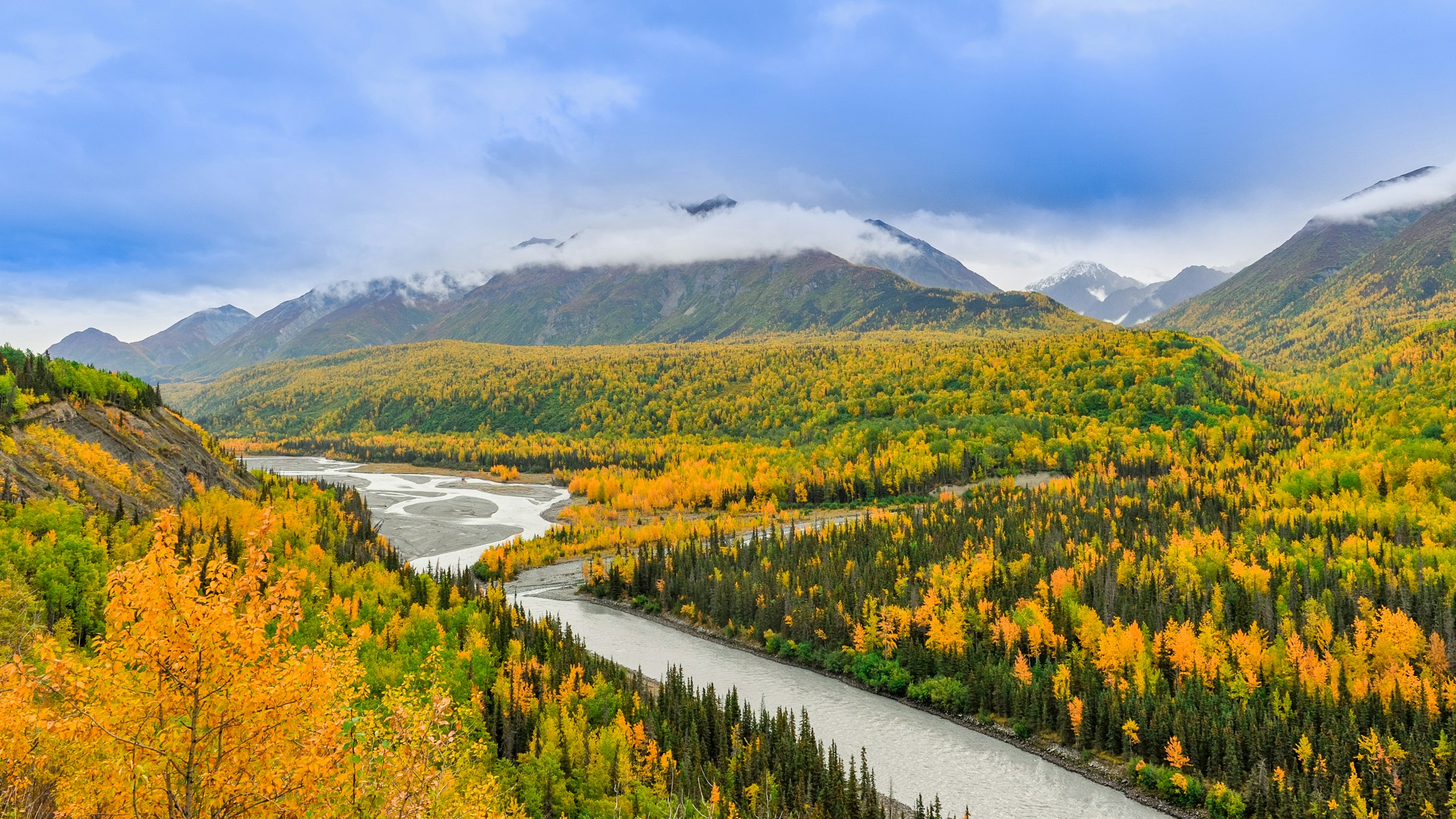
A State Unlike Any Other in the Union
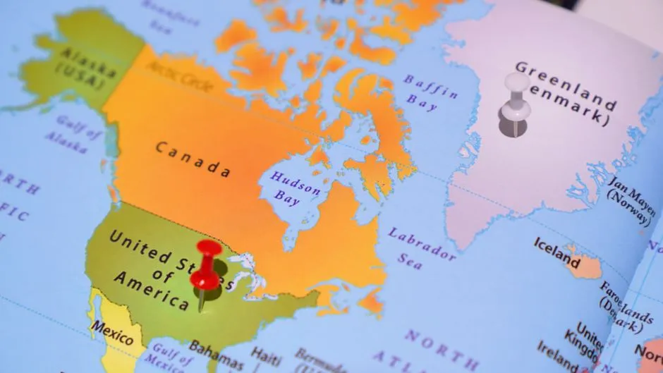
Alaska is considered to be the northernmost, westernmost, and, longitudinally, the easternmost state in the United States. That triple distinction is genuinely rare, and no other U.S. state comes close to matching it. It was admitted to the union as the 49th state on January 3, 1959, which means this geographic peculiarity has been an official American reality for well over six decades.
Alaska is a semi-exclave of the U.S., bordering the Canadian territory of Yukon and the province of British Columbia to the east. It shares a western maritime border in the Bering Strait with Russia’s Chukotka Autonomous Okrug, and is closer to another continent, Asia, than any other U.S. state. That proximity to Asia is not just a trivia footnote. It shapes the state’s geography, climate, and even its claim to three directional extremes at once.
Just How Large Is Alaska, Really?
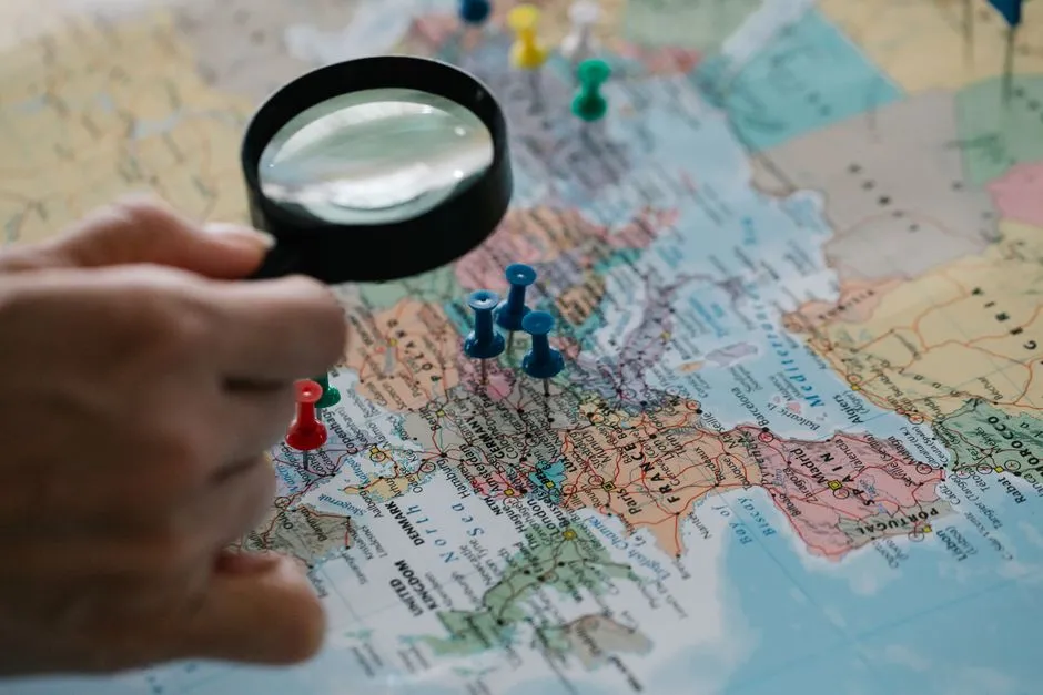
Alaska is the largest state in the United States in terms of land area at 570,380 square miles, over twice, roughly 2.47 times, as large as Texas, the next largest state, and is the seventh largest country subdivision in the world and the third largest in North America. Those numbers are almost too large to absorb. Texas looms large in the American imagination, yet Alaska dwarfs it by a factor of nearly two and a half.
If the state’s westernmost point were superimposed on San Francisco, California, its easternmost point would be in Jacksonville, Florida. Alaska is larger than all but 18 sovereign nations, being slightly larger than Iran but slightly smaller than Libya. Its sheer width is precisely what makes the directional records possible. A smaller state could never stretch far enough to cross the critical boundary that creates the east-west paradox.
The Northernmost Point: Point Barrow

Point Barrow, also known as Nuvuk, is a headland on the Arctic coast in the U.S. state of Alaska, 9 miles northeast of Utqiagvik, formerly known as Barrow. It is the northernmost point of all the territory of the United States, at 71°23′20″N, 1,122 nautical miles south of the North Pole. Standing there, you’re looking across a frozen expanse that stretches uninterrupted toward the top of the world.
Point Barrow demarcates the limit between two important marginal seas of the Arctic Ocean, the Beaufort Sea in the east and the Chukchi Sea in the west. Alaska is the only state with land north of the Arctic Circle. No other state can make that claim, which makes the northernmost designation straightforward and uncontested.
The Westernmost Point: Amatignak Island
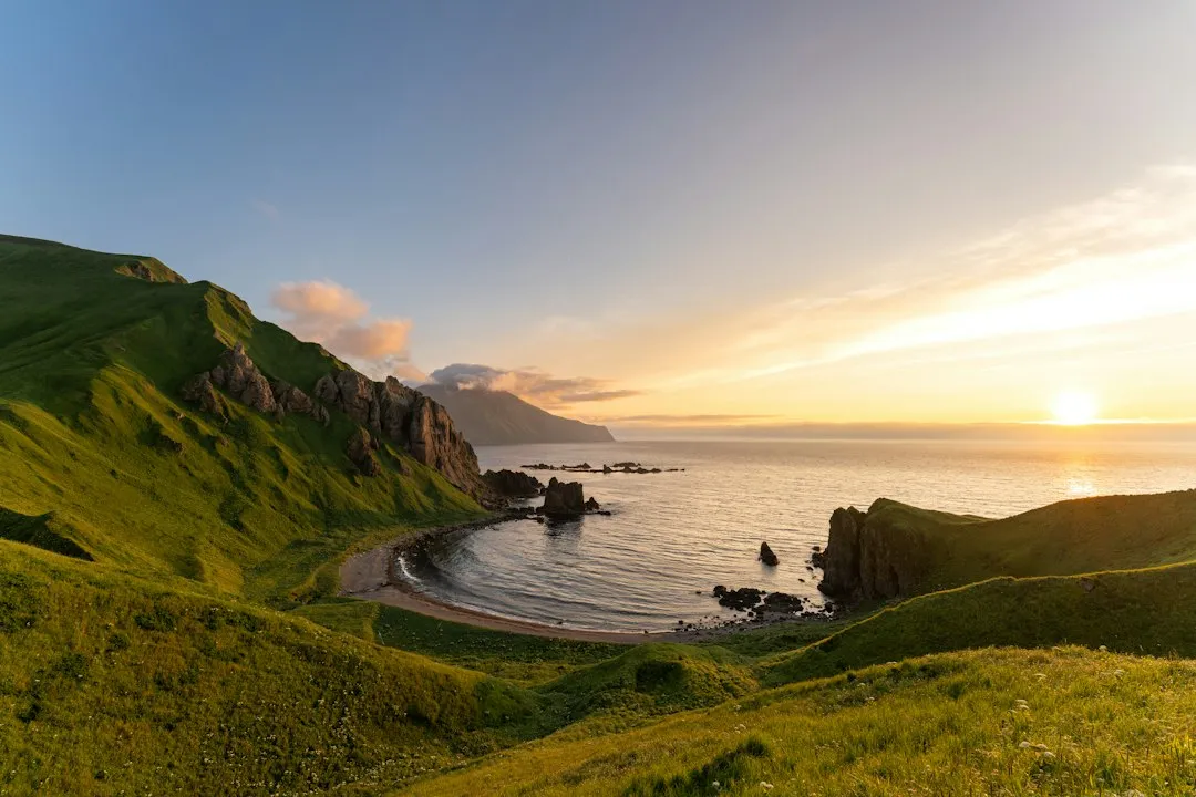
Alaska’s Aleutian Islands arc right up to the edge of the Western Hemisphere at the 180th Meridian, making Amatignak Island at 179 degrees West, Alaska’s westernmost point in the U.S. The island is a distant, wind-battered scrap of volcanic rock sitting near the very edge of the hemisphere boundary. Few people have ever set foot there, yet it represents a genuine geographic extreme.
Alaska’s Aleutian Islands arc across nearly 1,900 kilometers, or 1,200 miles, of open ocean, reaching right up to the edge of the Western Hemisphere. That sweep of ocean-crossing island chain is what makes everything else possible. Without the Aleutians, Alaska would still be the northernmost state, but the west-east paradox would not exist.
The Easternmost Point: Semisopochnoi Island
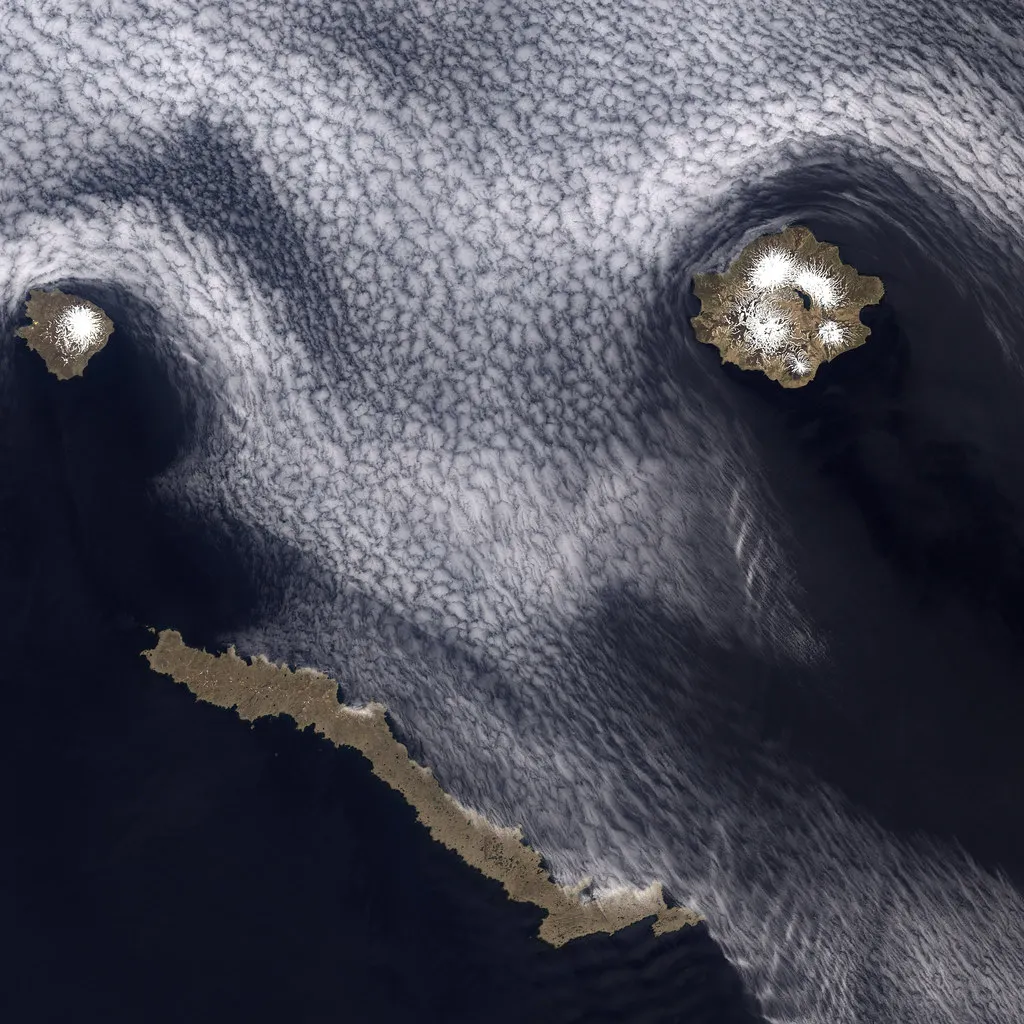
You might think that the easternmost point of the United States is somewhere in Maine, but you would be wrong. It’s actually in Alaska, on a remote island called Semisopochnoi. The name is a mouthful, and the island itself is nearly unknown outside of geography circles, yet it holds a legitimate national record.
The reason Semisopochnoi Island is considered the easternmost point in the U.S. is because of its location relative to the 180th meridian, which is the line of longitude that defines the boundary between the Eastern and Western Hemispheres. At 179°46′ East in the Eastern Hemisphere, the easternmost tip of Semisopochnoi is, by longitude, the easternmost land location in the United States and North America. Semisopochnoi Island is part of the Rat Islands group in the western Aleutian Islands of Alaska. The island is uninhabited and provides an important nesting area for maritime birds.
The Role of the 180th Meridian
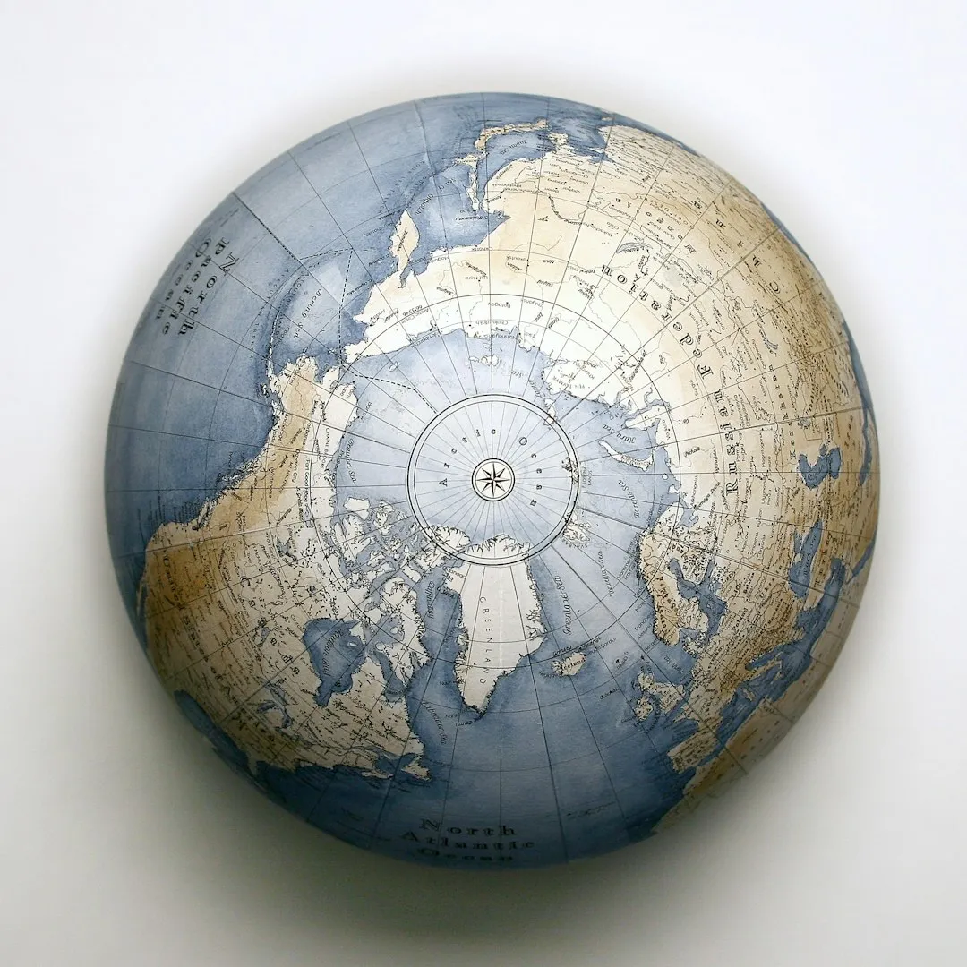
In order to determine why Alaska is the easternmost state, we need to look at two particular lines: the Prime Meridian, which is Longitude 0 degrees, and the Anti-Meridian at 180 degrees on the complete opposite side of the world. These two lines meet at the north and south poles and divide the globe into two halves, known as the Eastern and Western Hemispheres.
The Anti-Meridian cuts through Alaska’s Aleutian Islands, meaning part of the state is in the Eastern Hemisphere and the rest of the state is in the Western Hemisphere, which explains why Alaska is simultaneously the easternmost and westernmost state. Because the 180th meridian passes through the state’s Aleutian Islands, Alaska’s westernmost portion is in the Eastern Hemisphere. Thus, technically, Alaska is in both hemispheres.
Why the International Date Line Bends Around Alaska
The International Date Line jogs west of 180° to keep the whole state, and thus the entire continental United States, within the same legal day. This is a deliberate cartographic decision, not a geographic one. Without that bend in the Date Line, parts of Alaska would technically be a calendar day ahead of the rest of the country, which would create obvious legal and logistical complications.
The reason why Alaska is also the easternmost state is that part of the Aleutian Islands crosses the international date line, 180 degrees longitude, into the Eastern Hemisphere. The Date Line and the 180th meridian are not identical, even though they’re often confused. The meridian is a fixed geometric line. The Date Line is a practical human boundary drawn to avoid calendar chaos, and it deliberately curves to leave Alaska on the same side as the lower 48.
The Aleutian Islands: A Chain That Rewrites Geography
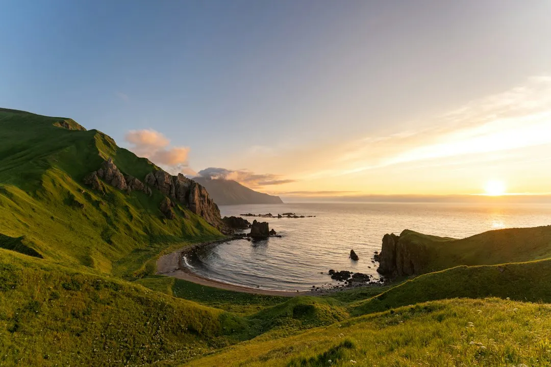
The Aleutian Islands are a series of 14 large and 55 small volcanic islands belonging to the American state of Alaska and the Russian territory of Kamchatka Krai. The islands occupy 6,821 square miles and extend 1,200 miles from Alaska to the Kamchatka Peninsula. The Aleutian Islands demarcate the Pacific Ocean’s boundary to the south and the Bering Sea to the north.
Crossing longitude 180°, at which point east and west longitude end, the archipelago contains both the westernmost and easternmost parts of the United States by longitude, Amatignak Island and Semisopochnoi Island, respectively. The fact that one continuous island chain holds both the easternmost and westernmost coordinates in the entire country is the kind of geographic detail that sounds like a riddle but is simply, quietly true.
What About the Southernmost Title?
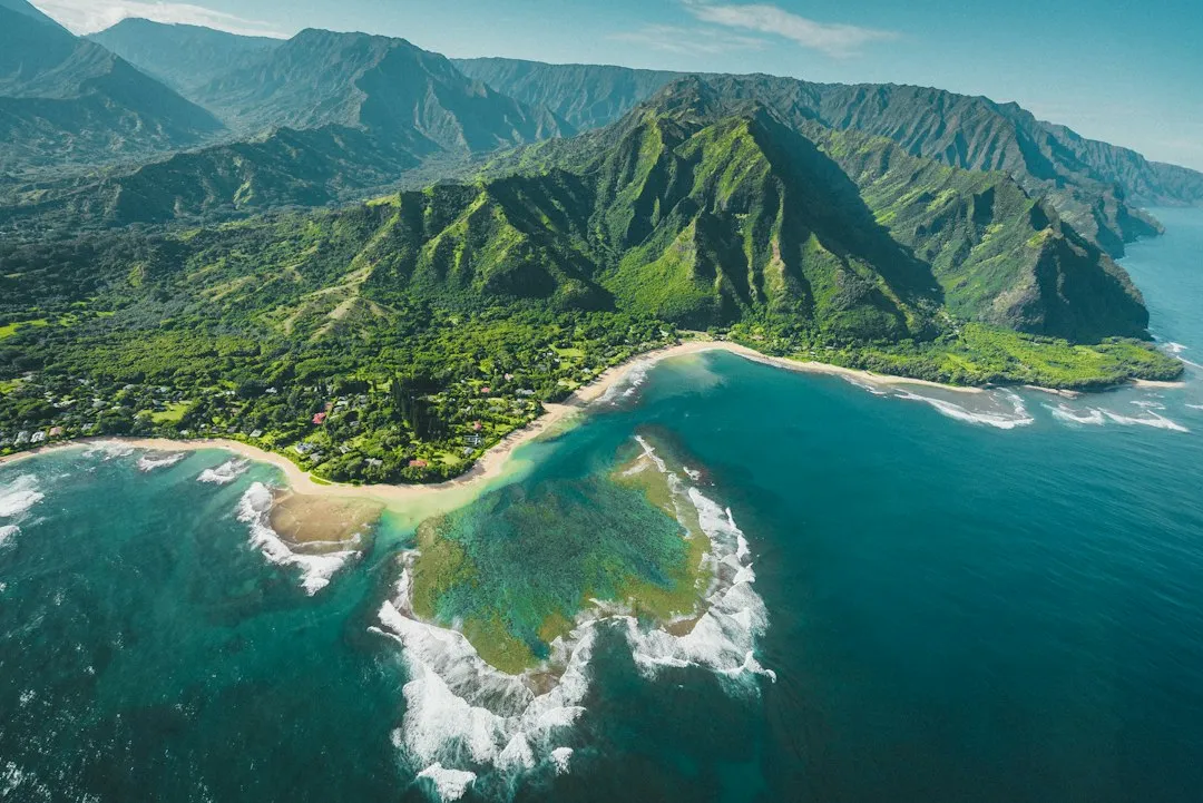
Alaska is simultaneously the northernmost, westernmost, and easternmost state in the country. Only the southernmost title escapes it, belonging to Hawaii. Hawaii claims that fourth cardinal record by virtue of Ka Lae, the southernmost tip of the Big Island, which sits at roughly 18 degrees north latitude, well below anything Alaska can offer.
Between Alaska and Hawaii, the United States holds all four directional extremes across just two non-contiguous states. Alaska is one of the two non-contiguous U.S. states, alongside Hawaii. It’s a fitting pairing: two states separated from the mainland, each defining opposite ends of the country’s geographic reach.
The Arctic Circle and Alaska’s Northern Reach
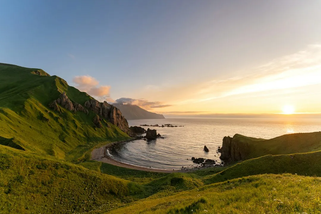
Alaska measures 2,400 miles east to west and 1,420 miles north to south. Those dimensions explain why a single state can span enough longitude and latitude to anchor so many geographic records. Alaska isn’t just large in area. It’s long, wide, and oriented in a way that pushes it into multiple extremes at once.
The northernmost region of Alaska has an arctic climate. Utqiagvik, formerly known as Barrow, is the largest city in that region, as well as the northernmost settlement in the USA. Utqiagvik sees roughly two months of continuous polar night each winter and around two months of midnight sun each summer, a lived reality that underscores just how far north this state actually sits.
The Takeaway
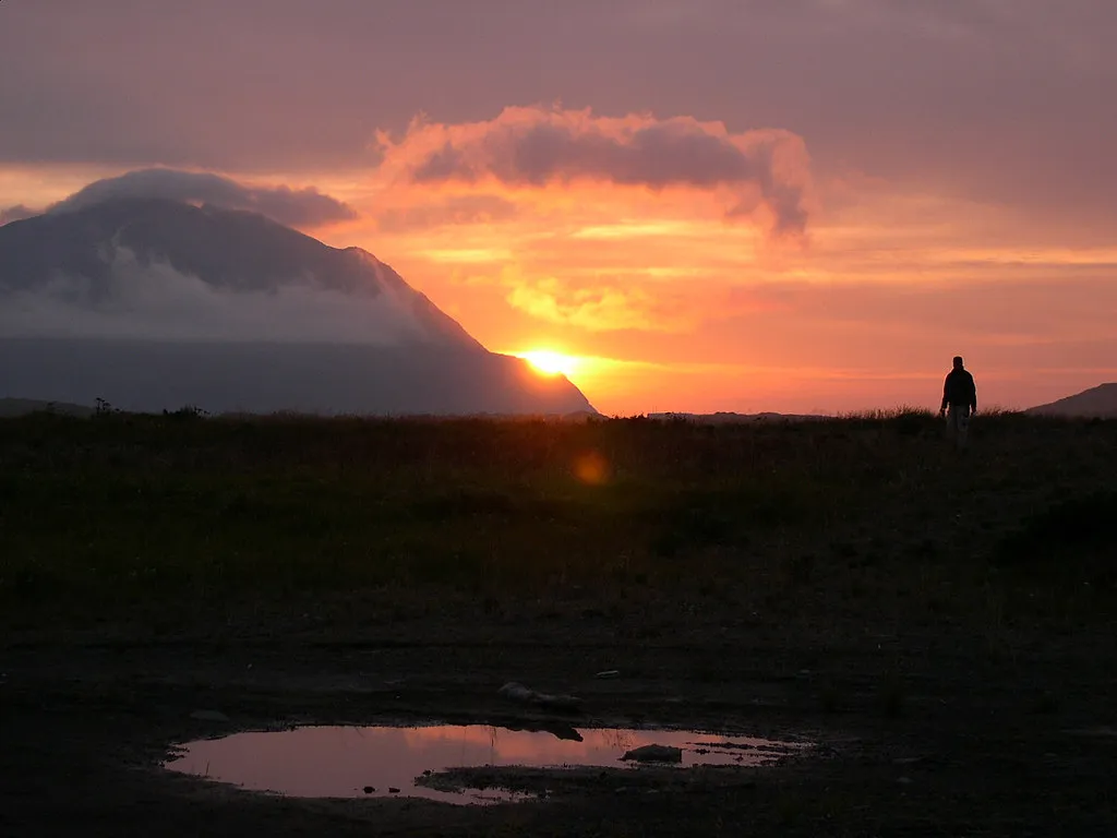
Alaska’s triple directional record isn’t a technicality to be dismissed. It’s a genuine consequence of geography: a vast state anchored to the Arctic, stretching a volcanic island chain so far across the Pacific that it crosses the line separating east from west. The paradox is real, documented, and quietly remarkable.
The easternmost and westernmost points depend on whether you look at it from the global geographic perspective considering the longitudinal meridians, or just west-left, east-right. The 180th meridian, halfway around the world from the Prime Meridian at Greenwich, England, is the global dividing line between all eastern and western longitudes and happens to pass through Alaska’s Aleutian Island chain. That means, when taking the global geographic perspective, Alaska has both the easternmost and westernmost spots in the entire country. Three records from one state. The map, as usual, rewards those who look closely.
AI Disclaimer: This article was created with the assistance of AI tools and reviewed by a human editor.