

What Exactly Is a Chinook Wind?
Chinook winds are warm, dry downslope winds on the eastern slopes of the Rocky Mountains. They belong to a global family of mountain winds known as föhn winds, and they share the same core mechanism wherever they appear. They are the North American variety of föhn: strong, warm and dry westerly winds that descend lee mountain slopes, occurring east of the Rocky Mountains, extending from Central Alberta southward to New Mexico.
A chinook is a type of föhn wind, a warm, dry wind that occurs on the leeward side of mountain ranges. These winds are known for causing rapid temperature increases and snow melt, hence the nickname “snow-eater.” The name itself has Indigenous roots, connecting the wind to the Chinook peoples of the Pacific Northwest coast, whose traders brought warm weather from the sea.
The Mountain Mechanism: How Chinooks Form

The process begins with a strong, moist wind originating from the Pacific Ocean. That air is forced upward by the terrain near the Continental Divide. As it rises, it expands and cools, forming clouds and precipitation on the windward, or west, side of the mountains.
By the time that air crosses the divide, it is much drier. As it moves downward, it compresses and warms. Because dry air warms faster than moist air, the air arriving on the eastern side is significantly warmer than what started on the west side of the divide.
When the now-drier air descends the far side, it warms by compression at the faster dry rate, about 5.5°F for every 1,000 feet. It reaches the lee valleys warmer and much drier than it started. The result is air that has essentially been wrung out like a wet cloth and then compressed into warmth.
The Temperature Numbers That Define a Chinook
Chinook winds can be as much as 50 degrees Fahrenheit warmer than the air they displace. That’s not a gradual warming. It can happen over the course of a morning. Chinook winds have been observed to raise winter temperature, often from below −20°C to as high as 10–20°C, for a few hours or days, then temperatures plummet to their base levels.
By the time the wind reaches the plains of eastern Montana, it can be 30–40°F warmer than the air it’s replacing, with relative humidity often dropping below 20%. That combination of heat and dryness is precisely what makes these winds so lethal to snowpack.
Two Ways Snow Disappears: Melt and Sublimation
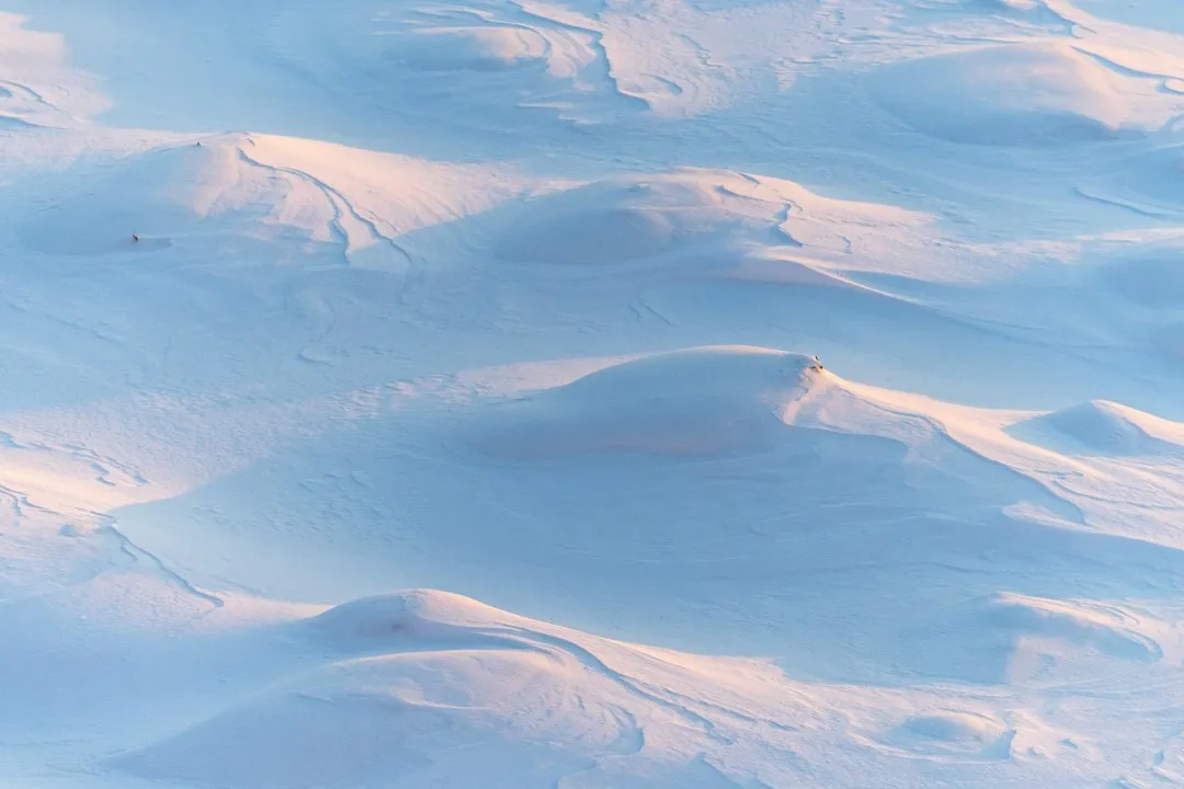
Warm, dry, fast-moving air removes snow in two ways. It melts it, and it sublimates it, turning ice straight into water vapor. Wind makes both faster. Sublimation is the key distinction here. The snow doesn’t just melt into a puddle. Much of it simply skips the liquid stage entirely.
When the warm, dry, fast-moving Chinook winds pass over snow-covered areas, the snow often vaporizes before it has a chance to melt, according to the U.S. Geological Survey. Even if the snow does not melt directly, it can disappear through sublimation, where ice changes straight into water vapor. This is why a field can look dry and bare so quickly, with almost no meltwater in sight.
A strong Chinook can remove 30 cm of snow in a single day through this combination. Melt rates reach approximately 2.5 cm of ice per hour. That adds up fast.
World Records Set by Chinook Winds
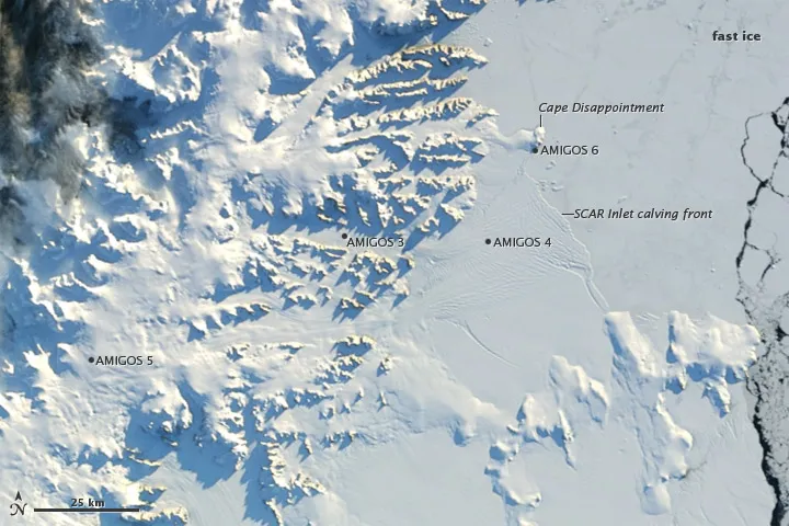
Loma, Montana holds the world record for the most extreme temperature change in 24 hours. On January 15, 1972, a powerful Chinook caused temperatures to rise 103 degrees in a single day. That figure is almost difficult to process. The greatest recorded temperature change in 24 hours was caused by Chinook winds on 15 January 1972, in Loma, Montana; the temperature rose from −48°C to 9°C.
Great Falls International Airport also made history during a Chinook event. On January 11, 1980, the temperature leaped from -32°F to 15°F in just seven minutes, a 47°F rise which still holds the U.S. record for the fastest temperature change. Seven minutes. That’s the kind of number that makes weather feel genuinely wild.
The 1943 Spearfish Event: A Story of Two Minutes
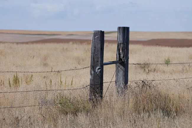
An extreme example of a Chinook wind was recorded in South Dakota in January 1943. The recorded temperature at 7:30 a.m. was minus 4°F and when the Chinook winds began shortly after, the temperature increased 49 degrees F in just two minutes, and by 9 a.m., when the Chinooks died down, residents were experiencing 54-degree weather.
When the winds died down, it took 27 minutes for the temperature to drop 58 degrees, back to where it was in the morning. The Spearfish event remains one of the most dramatic single Chinook episodes in recorded history, capturing the speed at which these winds can flip a winter day.
Wind Speed: The Force Behind the Snow Removal
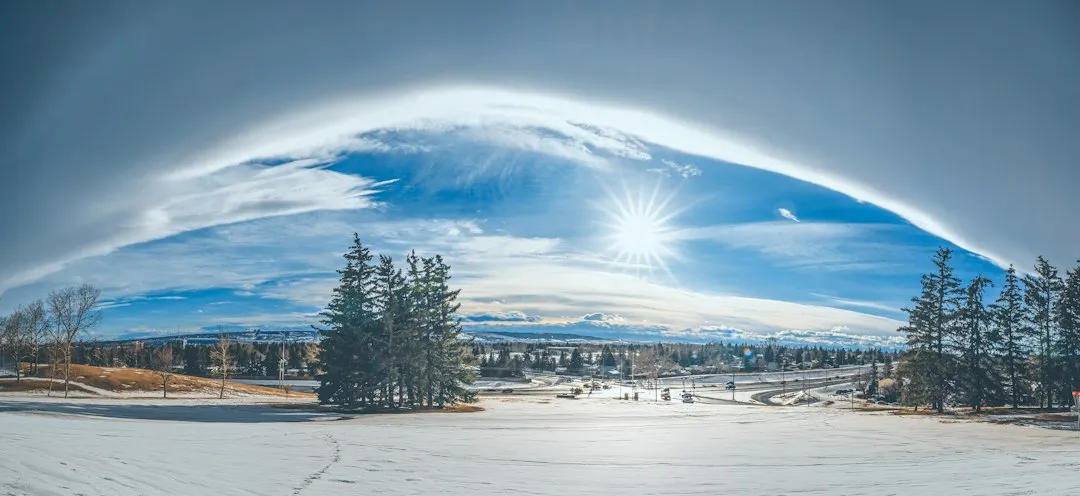
The gusts can also reach up to 80 mph (128 km/h) as the winds come down the mountains and pass over the plains. High wind speeds don’t just feel uncomfortable. They physically scour snow from the ground, lifting and transporting it while simultaneously accelerating the rate at which sublimation and melting occur.
Chinook winds do not happen in isolation. They are usually tied to a larger pressure setup involving storms, mountain passes, and pressure differences across a range. When air is pushed from the high-pressure side toward the lower-pressure side, it accelerates downslope. The speed is partly a product of that pressure gradient, which can intensify significantly depending on the synoptic weather pattern.
What Happens to the Water: Hydrology and Runoff
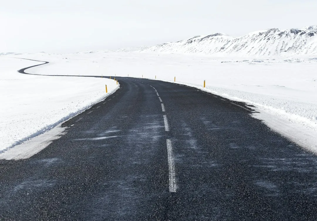
Chinooks can alter the water balance via snowmelt, sublimation, blowing snow transport, ground thaw and evaporation. This means the effect goes well beyond what you see on the surface. When a snowpack is thinned quickly, the ground may not store water as long. That can alter local moisture availability and shift the timing of meltwater into streams.
Rapid snowmelt generates flash flood risk. The 1962 Pincher Creek event strained local water systems as 41°C of warming converted snowpack to runoff within hours. The same warming that clears roads can saturate drainage systems and push rivers above their banks. It’s a reminder that a weather event that looks like relief can carry real consequences downstream.
The Agricultural Double-Edged Sword
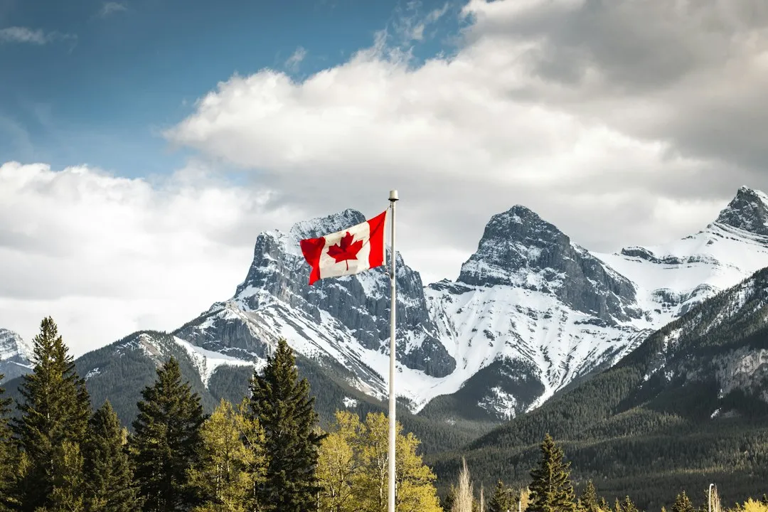
The warm winds of the Chinook are a plus for agriculture in regions like Alberta in Canada and Montana in the US, extending the growing season. Exposed pasture in midwinter gives ranchers relief when cattle need forage and frozen ground would otherwise be a serious problem. That’s historically why farmers and Indigenous communities in the region welcomed these winds.
Agricultural effects include soil drying so rapid that irrigation becomes necessary within days of a Chinook, and plants breaking dormancy during warm spells, leaving them exposed when Arctic air returns. In the Taber agricultural region south of Lethbridge, Chinook frequency is high enough that spring snowmelt rarely occurs. The snow disappears during winter events instead, requiring extensive irrigation to compensate. That’s a significant shift in how water is managed through the growing year.
Calgary and the Urban Chinook Experience

In Calgary, similar events have produced swings of up to 32°C, from -27°C to +5°C within 24 hours, as observed in February 2025. For a major city, that kind of swing is simultaneously welcomed and disruptive. Roads go from icy to slushy, and then back to icy again overnight as temperatures rebound.
Airports located in areas that frequently see Chinook winds can experience significant changes in temperature within a short space of time. On the 22nd of November 2017, there was a temperature difference of 16°C between Calgary International Airport and Springbank Airport only 15 nautical miles away. That kind of spatial variability makes forecasting, flight planning, and road management genuinely challenging for local authorities.
The Takeaway
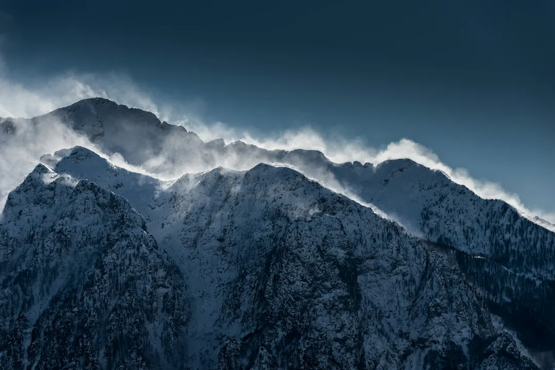
A foot of snow disappearing in a single day isn’t a magic trick. It’s the product of a well-understood chain of events: Pacific air climbing a mountain range, shedding its moisture on the way up, then compressing and heating on the way down until it arrives at the plains warm, dry, and moving fast. The snow has almost no defense against it.
What makes Chinook winds worth understanding, beyond the record temperatures and dramatic timelines, is the web of effects they leave behind. Water that skipped spring runoff, soil that dried out in January, rivers that rose without warning. The wind passes quickly. The consequences take longer to sort out. That, in many ways, is the real story of the snow eater.
AI Disclaimer: This article was created with the assistance of AI tools and reviewed by a human editor.