


It All Began on the Floor of an Ancient Sea
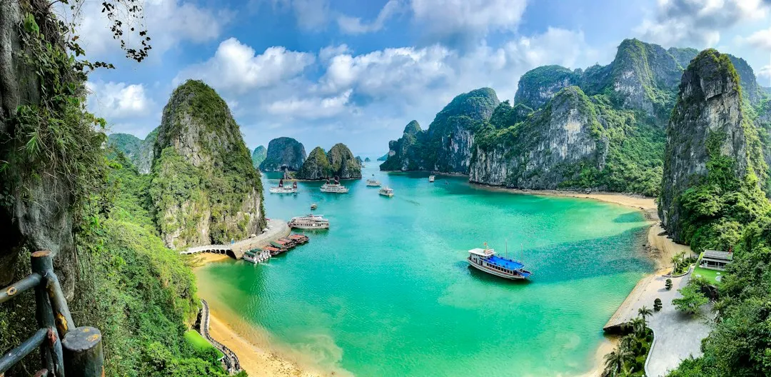
The foundation of the bay is composed mainly of limestone, a sedimentary rock formed from the accumulation of marine organisms such as coral, shellfish, and microorganisms. Around 500 million years ago, during the Paleozoic era, the area that is now Ha Long Bay was submerged under a shallow sea.
Carbonate sediments were deposited in a shallow sea in dry, hot conditions, gradually building into thick beds of limestone. Over an enormous period, those deposits compacted and hardened into the bedrock that now defines the bay’s character.
The foundation of Ha Long Bay’s geology is limestone formed over 340 to 250 million years ago, during the Paleozoic Era. Without that deep platform of pure carbonate rock, nothing that exists in the bay today would have been possible.
Tectonic Forces Pushed the Rock Skyward
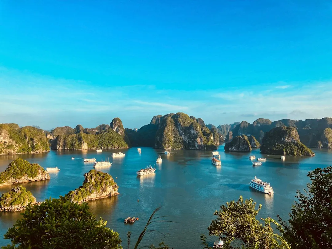
Over a hundred million years, a blanket of limestone more than a kilometer thick built up. Then, about 40 million years ago, faulting and plate tectonic activity uplifted the limestone, subjecting it to the forces of erosion that produced the steep islands we see today.
As tectonic plates moved, they caused the limestone bedrock to rise above sea level, exposing it to erosion and weathering. Faulting and folding during these movements helped create the fractures and vertical cliffs that define many of the bay’s islands.
The directional distribution of fracturing of the calcareous rocks is characterized by the influence of two major fault zones: the Red River fault zone and the Tan-Lu fault zone. Karst development was favoured by intense fracturing according to these two major directions, and reactivated during recent tectonics by compressional and extensional regimes that led to significant vertical movement. These fracture lines essentially pre-cut the landscape into its eventual tower shapes.
Rainwater Did the Sculpting

As sea levels changed and the land rose and fell over time, the limestone deposits were exposed to the elements. The acidic rainwater slowly eroded the limestone, creating a network of underground rivers and caves. As the water continued to flow, it gradually wore away the softer parts of the limestone, leaving behind the distinctive karst formations we see today.
The geomorphology of Ha Long Bay is known as “drowned karst” due to the unusual combination of its limestone karst features, which have been subject to the repeated rise and fall of the sea over millions of years.
The limestone formations of Ha Long Bay have been eroded into a mature landscape of fengcong (clusters of conical peaks) and fenglin (isolated tower features), modified later by the invasion of the sea. The smaller islands consist of fenglin towers that are 50 to 100 meters high. This dual erosion by both freshwater and seawater is what makes the bay’s topography so distinct from other karst regions in Southeast Asia.
The Ice Ages Shaped the Final Landscape
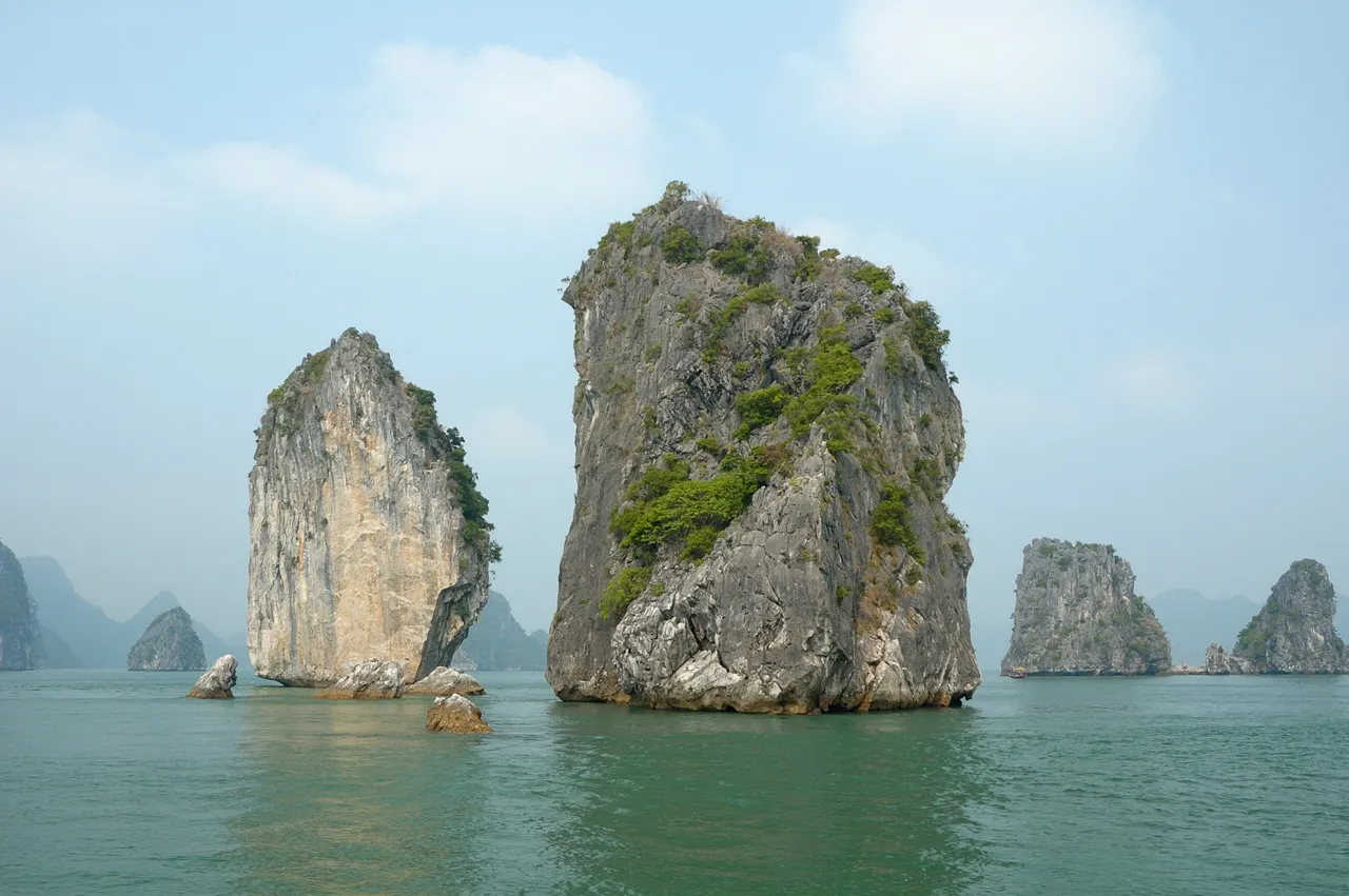
During the Ice Ages, sea levels dropped significantly, exposing more of the limestone terrain to erosion. Later, as the climate warmed and glaciers melted, rising sea levels submerged the lower parts of the karst landscape, transforming valleys into channels and isolating limestone towers into the iconic islands we see today.
During ice age periods when global sea levels stood 120 meters or more lower than present, the entire Ha Long Bay area formed dry land with karst towers extending upward from river valley floors. The bay, in other words, was once a continental landscape of hills and valleys.
The post-glacial flooding happened to the right depth to submerge the valleys while leaving the tower summits exposed, producing the bay’s signature vista of thousands of islands emerging from the water. That precise depth is one reason the bay looks the way it does rather than presenting a flatter, less dramatic shoreline.
How Many Islands Are There, Exactly?
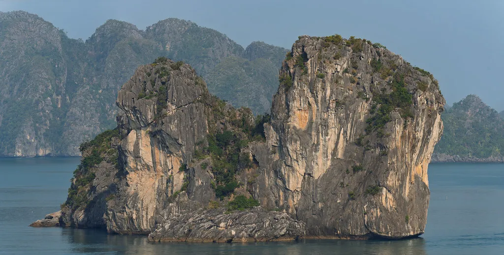
According to the Ha Long Bay Management Authority, the geographical bay spans 1,553 square kilometers and contains 1,969 islands, of which 980 are named. These figures refer specifically to the geographical bay itself.
The older 434 square kilometer heritage boundary contains 775 islands, while the current Ha Long Bay and Cat Ba Archipelago World Heritage property, covering 65,650 hectares, contains 1,133 islands and islets as recognized by UNESCO. Different counts reflect different boundary definitions, which is why figures vary depending on the source.
The mountainous limestone islands, the tallest of which tower up to 400 meters above the water, are some of the world’s most visible and famous examples of karst features. The variation in their heights reflects differences in how much each formation has been eroded over time.
The Islands Are Mostly Hollow
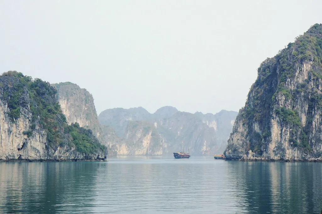
Several of the larger karsts and islands of Ha Long Bay formed as essentially hollow. The dissolution of limestone by water over millions of years created chambers and passageways inside many of the towers that look solid from the outside.
Extensive limestone caves represent another important feature of Ha Long Bay, with three main types identified: old phreatic caves formed below the water table of the time; old karstic foot caves formed by lateral undercutting of cliffs at base level; and marine notch caves formed at sea level where rock structures are powerfully eroded and eventually reduced to a wave-cut platform.
The limestone karstic geomorphology of the bay, developed since the Miocene, includes cone-shaped hills (fengcong), isolated high limestone karst towers (fenglin), remnants of old phreatic caves, old karstic foot caves, and marine notch caves, forming limestone karst landforms unique in the world. Sung Sot Cave, known in English as Surprise Cave, is among the most accessible examples, with chambers reaching 30 meters in height.
The Bay Was Once Entirely Inland
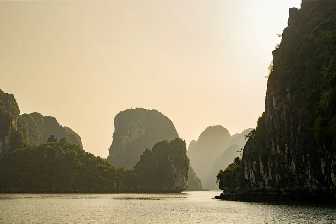
For most of the millions of years during which the karst was developing, Ha Long Bay was not a bay at all. It was a terrestrial landscape of limestone towers, valleys, and rivers, similar to what you can see today in parts of inland Guangxi province in China or in Ninh Binh province in Vietnam itself, sometimes called “Ha Long Bay on land.”
The transformation from a land-based karst to a marine seascape happened relatively recently in geological terms, driven by post-glacial sea level rise. In the grand timeline of this bay’s formation, the sea arrived almost yesterday.
The Guilin tower karst in Guangxi province, the karst of Phang Nga Bay in Thailand, and the terrestrial karst of Ninh Binh and Trang An in Vietnam are all products of the same basic recipe: thick Paleozoic limestone, prolonged karst dissolution, tectonic fracturing, and in the coastal examples, post-glacial sea level rise. Ha Long Bay sits at the marine end of that spectrum.
A Remarkable Ecosystem Lives Within the Islands
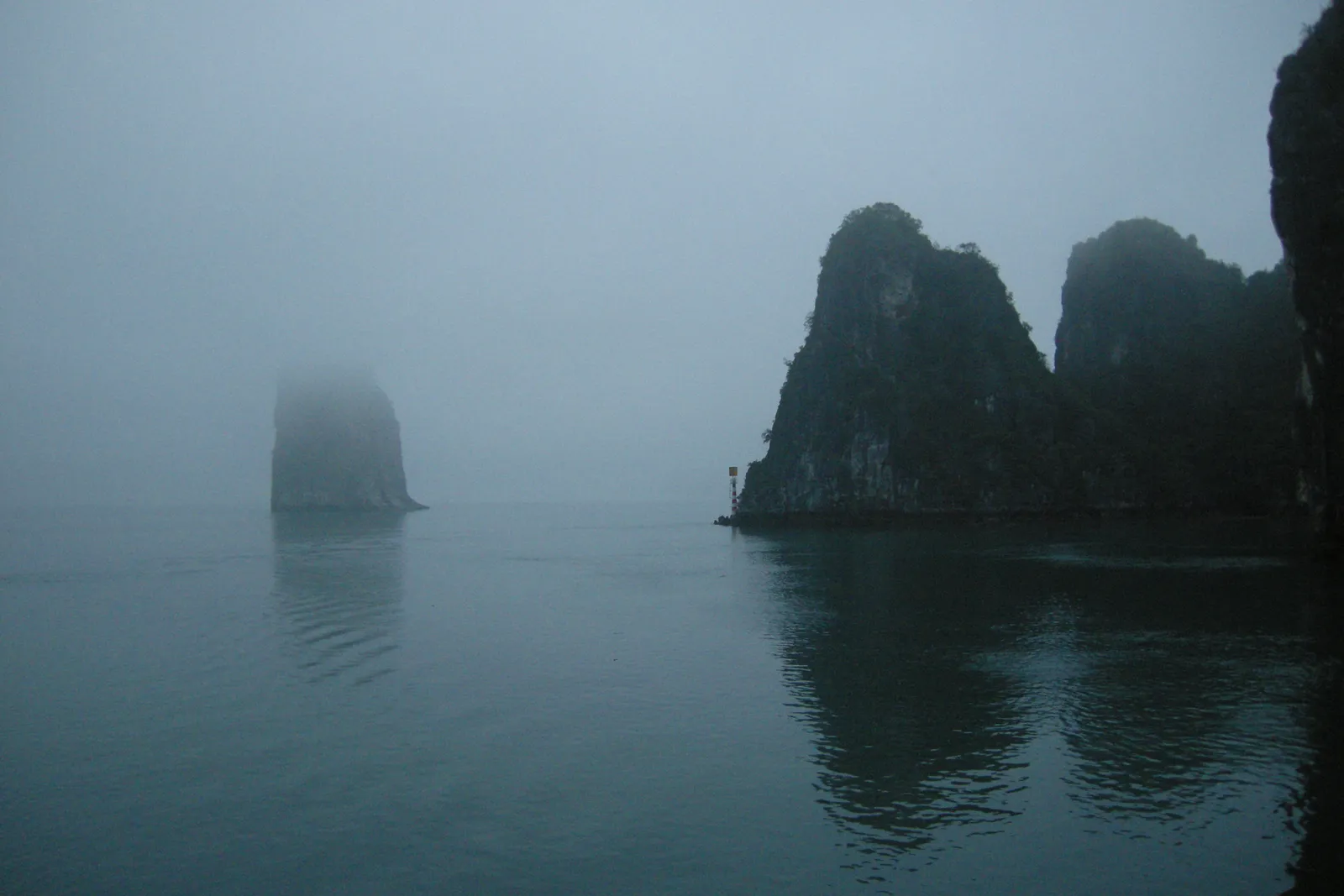
Recognized as a biosphere reserve, Ha Long Bay is home to a rich ecosystem. Scientists have recorded 17 endemic plant species and 60 endemic animal species unique to this region. Its waters are a sanctuary for rare marine creatures, coral reefs, and mangrove forests that contribute to the area’s ecological significance.
Approximately 1,000 fish species are found in Ha Long Bay, according to IUCN records. The bay also supports over 200 species of fish and 450 species of mollusks. The cave interiors support their own specialized communities of species that exist nowhere else.
Cat Ba Island, the largest in the bay, is home to the critically endangered Cat Ba langur, with roughly 70 individuals remaining. As of late 2024, conservation efforts for this primate have intensified. The isolation created by the bay’s island geography has allowed certain species to evolve in ways distinct from their mainland relatives.
UNESCO Recognition and Conservation Pressures
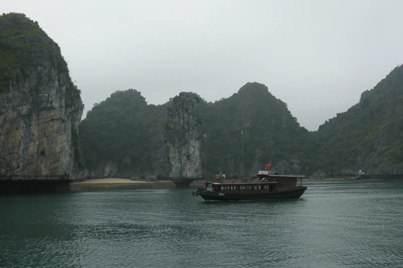
On September 16, 2023, at the 45th session, the World Heritage Committee of UNESCO approved the nomination and recognized the Ha Long Bay and Cat Ba Archipelago as a World Natural Heritage Site. Being recognized by UNESCO as a World Natural Heritage Site three times is the clearest testament to Ha Long Bay’s outstanding global values.
The 2025 Conservation Outlook for Ha Long Bay and Cat Ba Archipelago is of high concern due to increasing pressures on its outstanding universal value. The site’s exceptional scenic beauty and limestone seascape values are deteriorating from mass tourism, waste management issues, and large-scale development, with certain attributes of geological values like caves and marine lakes negatively impacted by human activities.
In response, Vietnamese authorities have implemented progressive sustainability measures including cruise number limitations, with only 603 vessels permitted to operate as of 2025, down from more than 800 in 2019, as well as zero-emission zones where only electric vessels may operate. The challenge of protecting a site this large and this visited is real, and ongoing.
What Makes Ha Long Bay Genuinely Unique
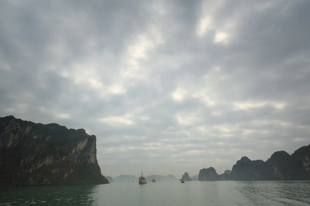
Ha Long Bay and Cat Ba Archipelago is the most extensive and best-known example of marine-invaded tower karst globally, and one of the world’s most important areas of fengcong and fenglin karst. That distinction matters because similar landscapes exist elsewhere, but none combine scale, completeness, and marine inundation in quite the same way.
Research has revealed that Ha Long Bay’s karsts exhibit exceptional completeness, preserving evidence of formation stages from initial limestone deposition through current weathering processes. It functions, in a sense, as a living textbook of karst geology.
The property possesses a tremendous diversity of caves and other landforms derived from the unusual geomorphological process of marine-invaded tower karst, and displays the full range of karst formation processes on a very large scale and over a very long period of geological time. That range, compressed into a single bay you can cruise across in an afternoon, is what makes Ha Long Bay so difficult to fully absorb on first encounter.
The Takeaway
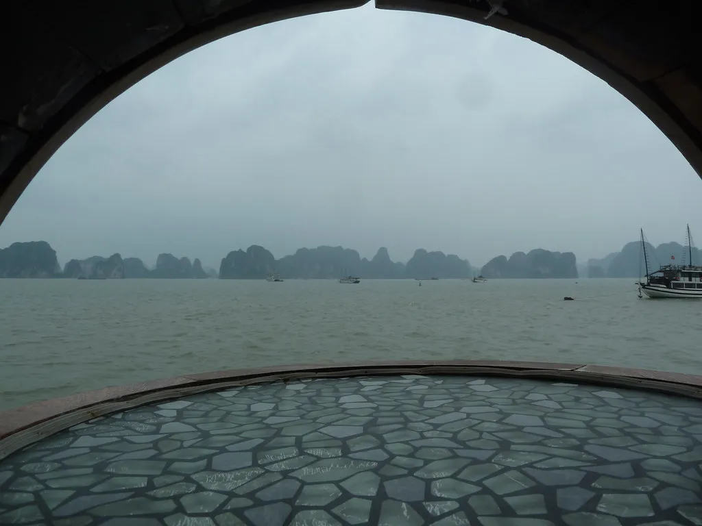
Ha Long Bay’s nearly 2,000 islands did not appear by chance or by legend, though the legend of the descending dragon has its own poetic logic. The bay’s distinctive look of emerald waters and limestone towers is due to millions of years of geological processes, primarily limestone erosion and tectonic activity. Every island is a surviving fragment of an ancient mountain landscape, left standing after the sea reclaimed the valleys around it.
What’s worth sitting with is the timescale. The limestone beneath the bay was once a seabed. It became a mountain range. Rain dissolved it into towers. Ice ages stripped it bare. Then the sea returned and filled the spaces between. The bay you see today is a snapshot at the very end of that sequence, still slowly changing, still being shaped by tides and rain and time.
Visiting Ha Long Bay with that history in mind changes what you see from the deck of a boat. Those islands aren’t scattered at random. They’re what remains after half a billion years of the Earth doing what it does.
AI Disclaimer: This article was created with the assistance of AI tools and reviewed by a human editor.